|
The
bordermarkers of the Pyrenees : all my trips
 |
|
| -
sunday 21 july
2019 - Redoing bm039-044 |
 |
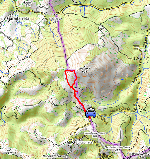 |
Summary: day 1 of a 5 days-trip to the Basque country, revisiting bordermarkers and checking my GRPdesBF-trail. Today: from Col de Lizzarieta a short trip along bm039-044. Then driving to camping Xokoan in Dantxarinea which will be our basecamp for the next 4 days. Weather: sunny and hot |
 track-20190721.kml
(click to open this trip in Google Earth or copy link to Google Maps; click right on this link to download gpx-version). The gps-track has not been manually corrected which explains the inaccuracy and misalignment at some points. For cartographic backgrounds: see the cartography-page Gps-waypoints of all bordermarkers (most recent version): kml: esfr-bordermarkers-all-waypoints.kml gpx: esfr-bordermarkers-all-waypoints.gpx |
|
 |
According to Garmin
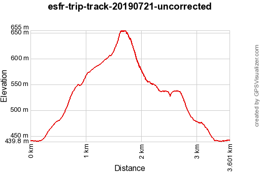
Basecamp (uncorrected track): Distance: 3,6 km Max-height: 654m Min-height: 439m Elevation: +252m -251m Total elevation: 503m Start 09:32 Finish 11:27 Total time: 1:55 |
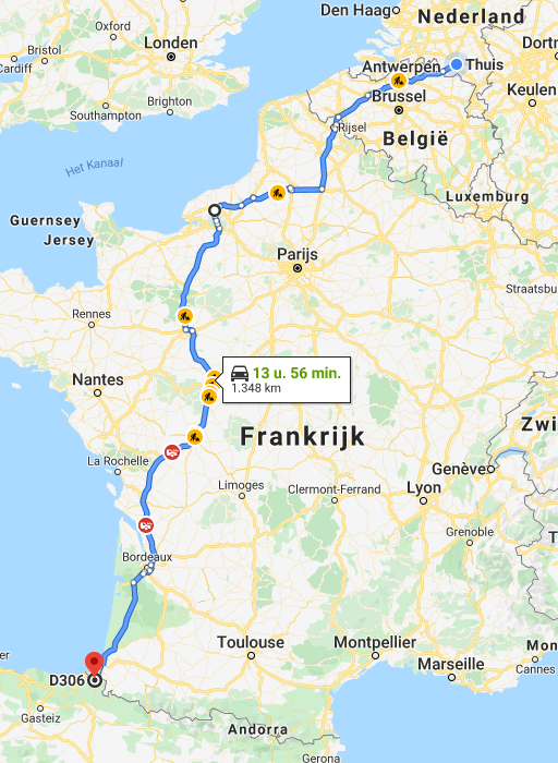 |
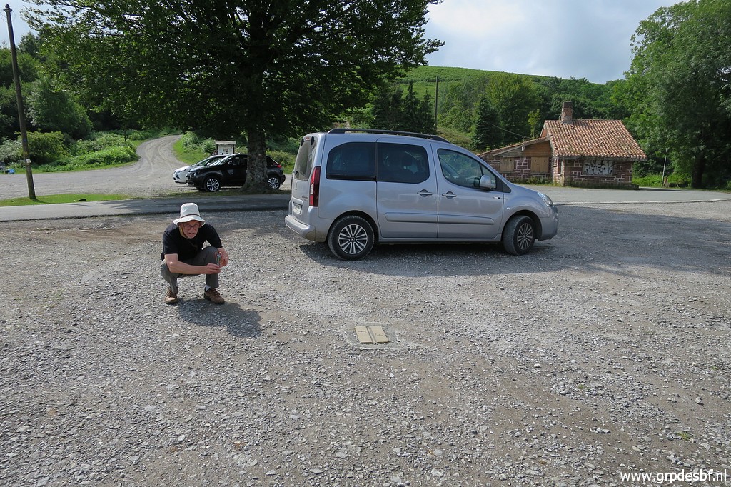
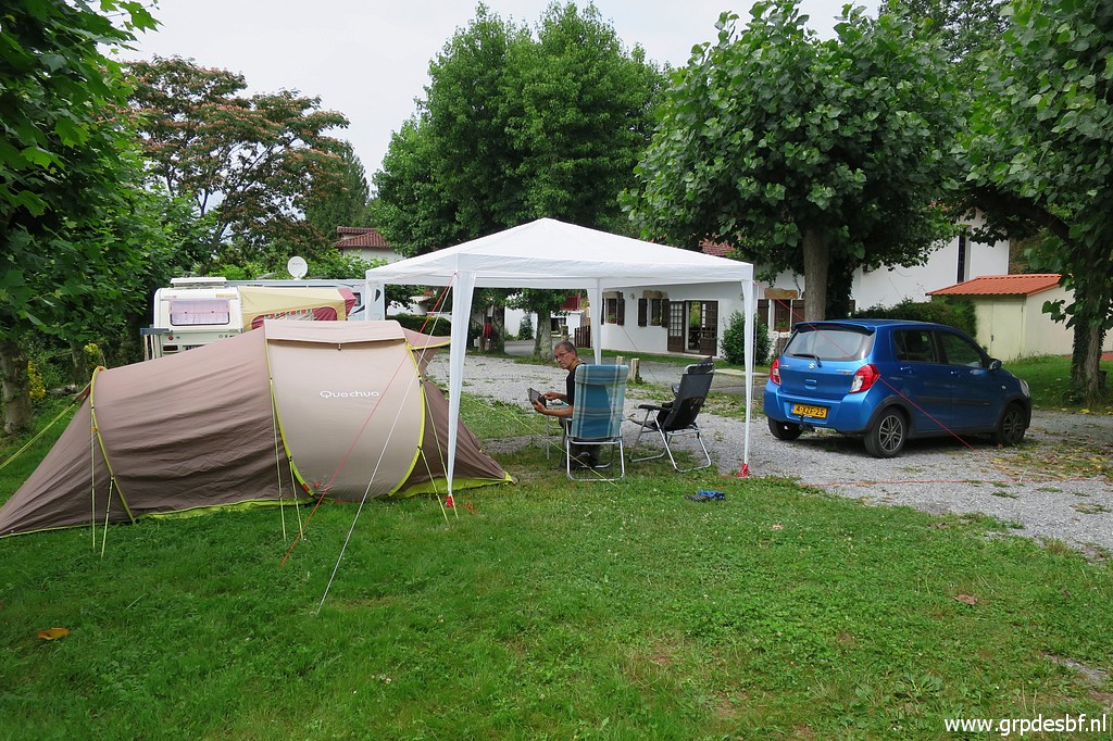
After driving through the night from Holland, we arrive in the early morning at Col de Lizzarieta |
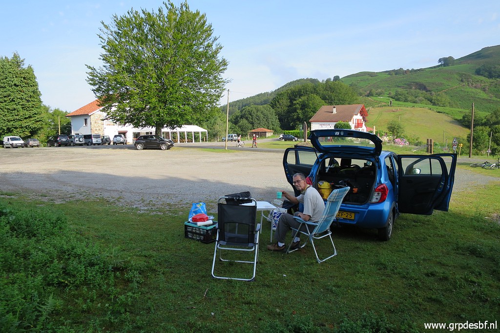 | Jan-Willem takes a rest in the shade (click photo to enlarge) |
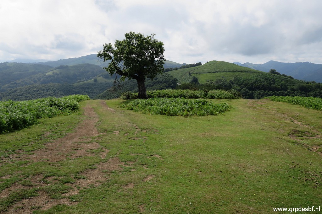
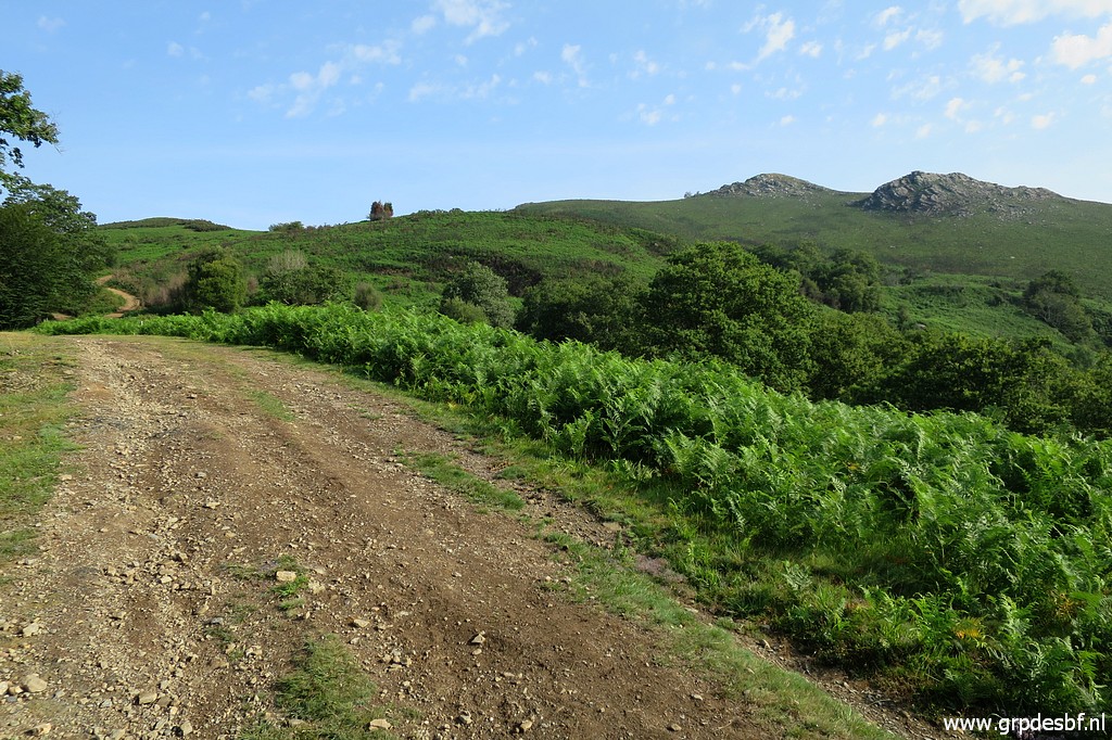 | while I will do a short trip to bm039 and returning along bm040-044. This picture: on my way on a broad dirtroad to bm039. (click photo to enlarge) |
 | Having arrived at bm039. (click photo to enlarge) |
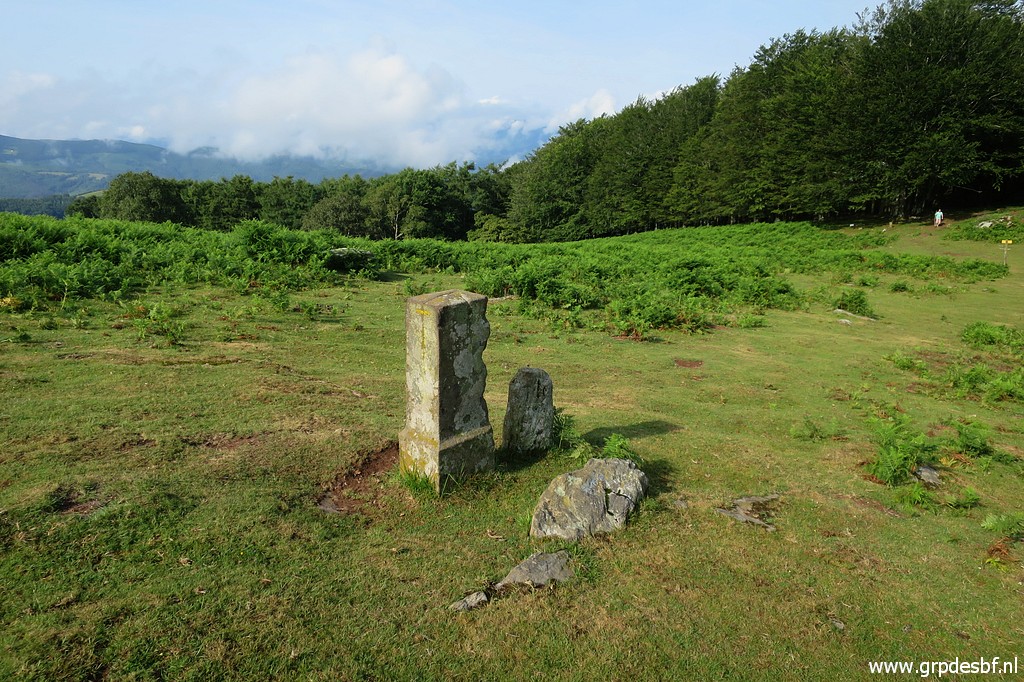
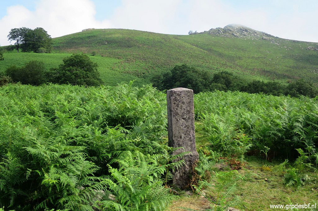
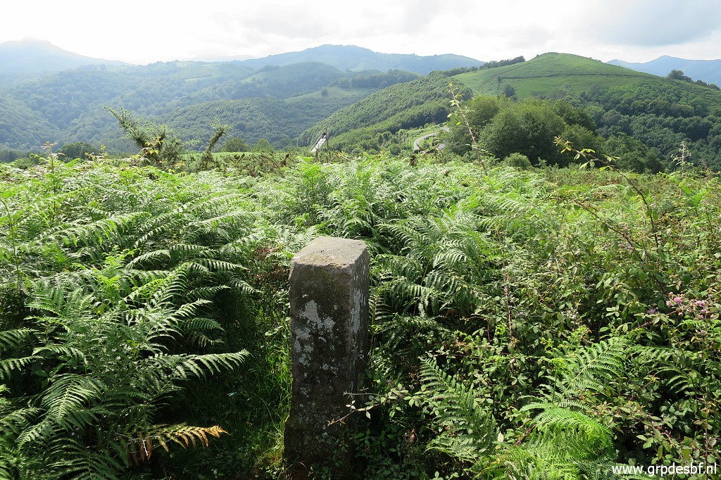
 | Bm039, note the groove at the top which shows the bend of the borderline. (click photo to enlarge) |
 | Bm039 with two rocks in front. Might be markers from the old days, we don't know. (click photo to enlarge) |
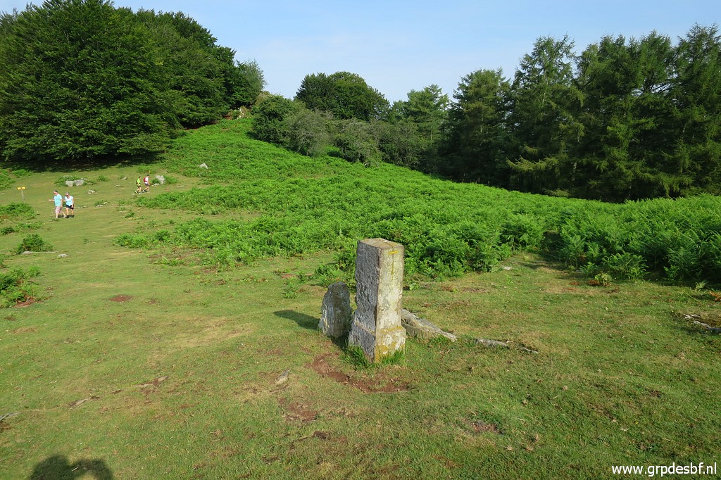 | Bm039, last picture. (click photo to enlarge) |
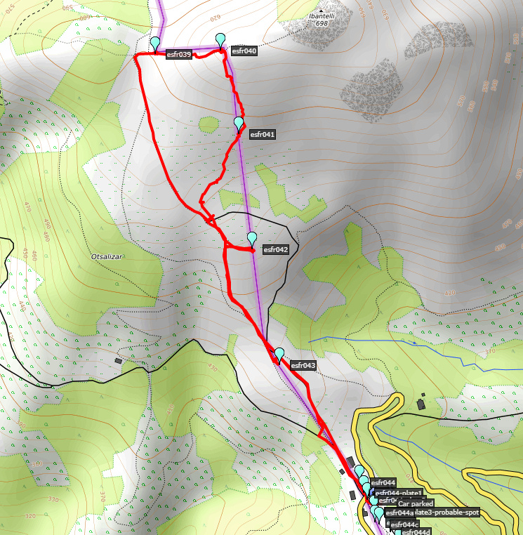
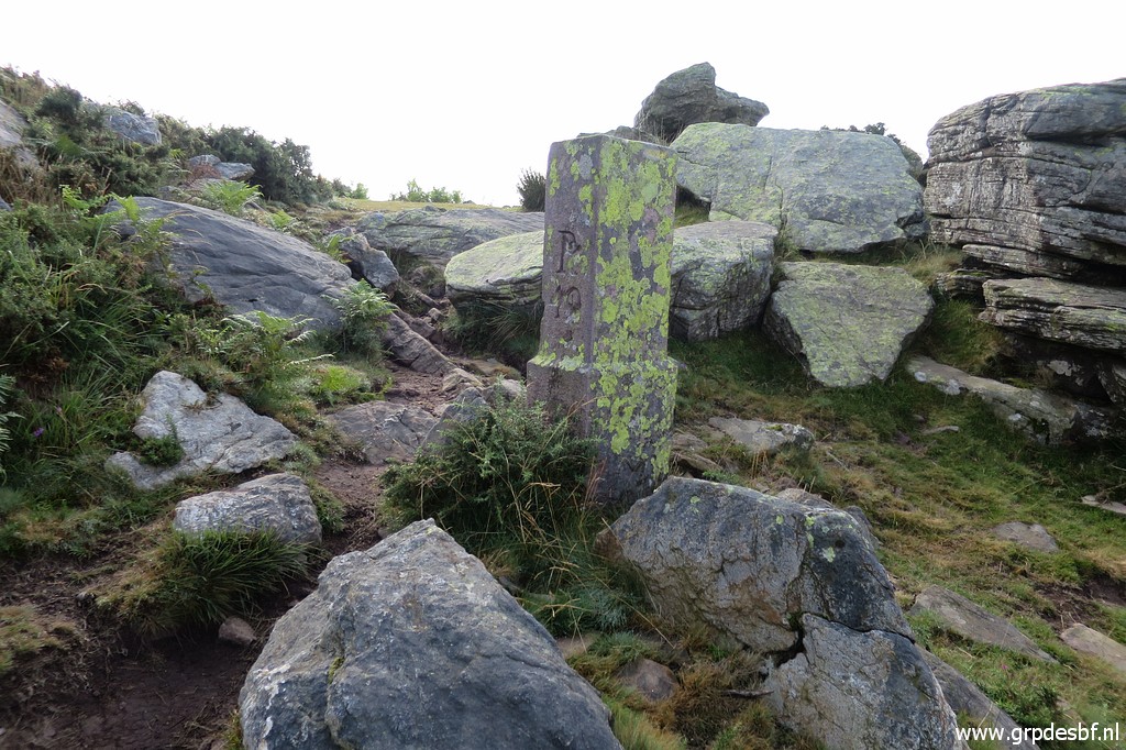
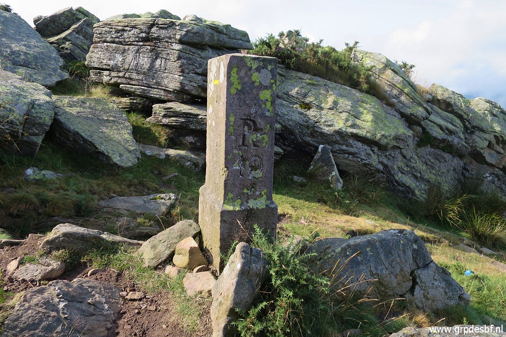
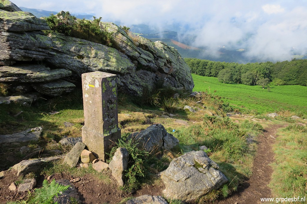
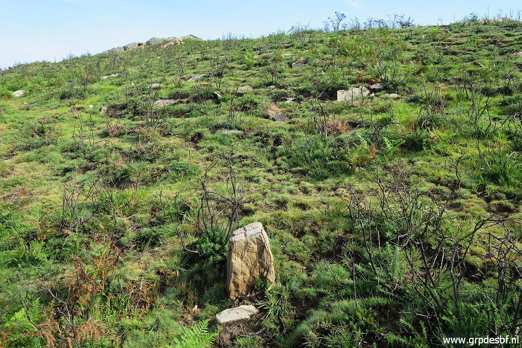
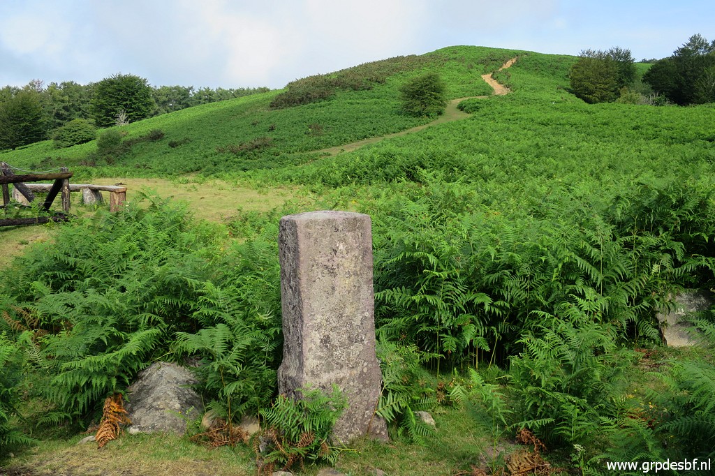
 | Bm040 stands 170m W uphill towards the hilltop of Ibantelli. (click photo to enlarge) |
 | Bm040 (click photo to enlarge) |
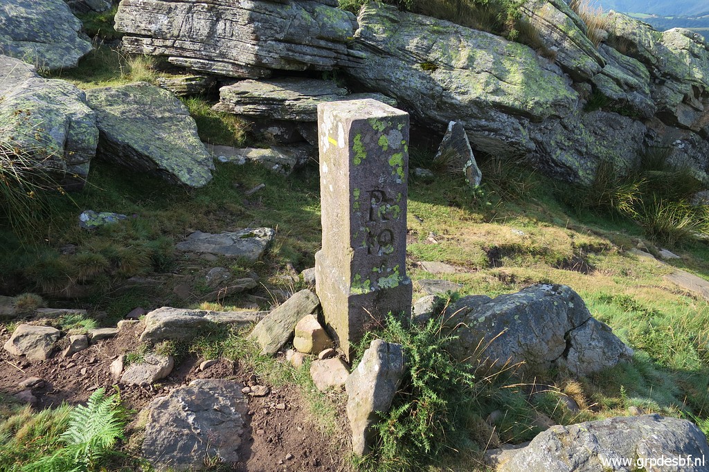 | Bm040 (click photo to enlarge) |
 | Bm040, looking back at the pass where bm039 is. (click photo to enlarge) |
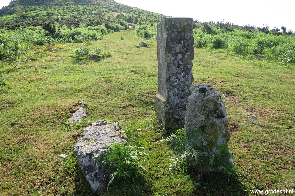
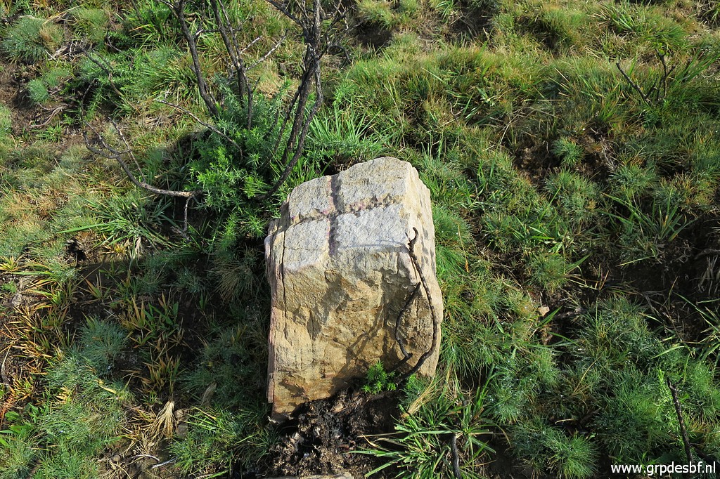
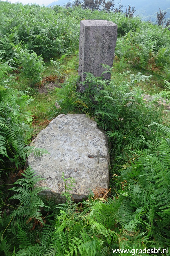
 | Bm040 with the groove at the top. You can also spot a cross on the rock left of bm040. There are several rocks with crosses around bm040. See for a comprehensive list and better pictures this page. (click photo to enlarge) |
 | Bm040. This picture: the rock in the front contains a cross. (click photo to enlarge) |
 | Bm040 (click photo to enlarge) |
 | Bm040 Then returning back to the Col along the borderline. (click photo to enlarge) |
 | A rock 25m SSW of bm040 with (click photo to enlarge) |
 | a small cross at his top. (click photo to enlarge) |
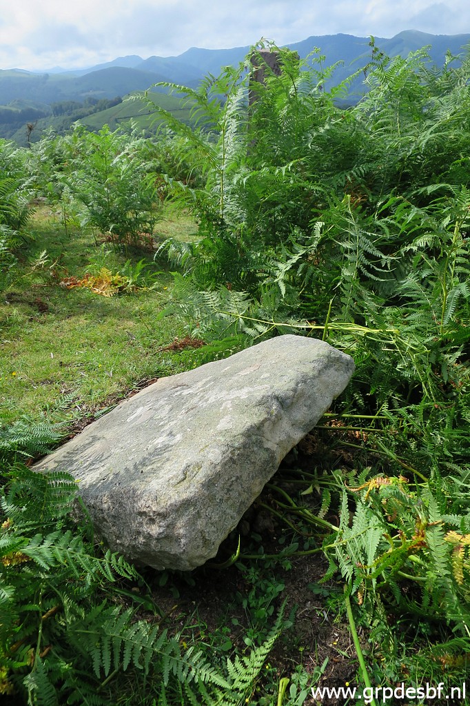
 | And ± 45m SSW from the former one (or ± 70m SSW from bm040) this rock with a cross. (click photo to enlarge) |
 | Same rock from some distance. (click photo to enlarge) |
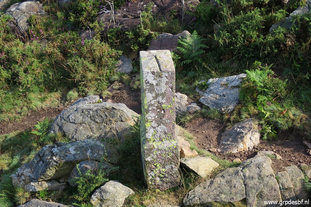
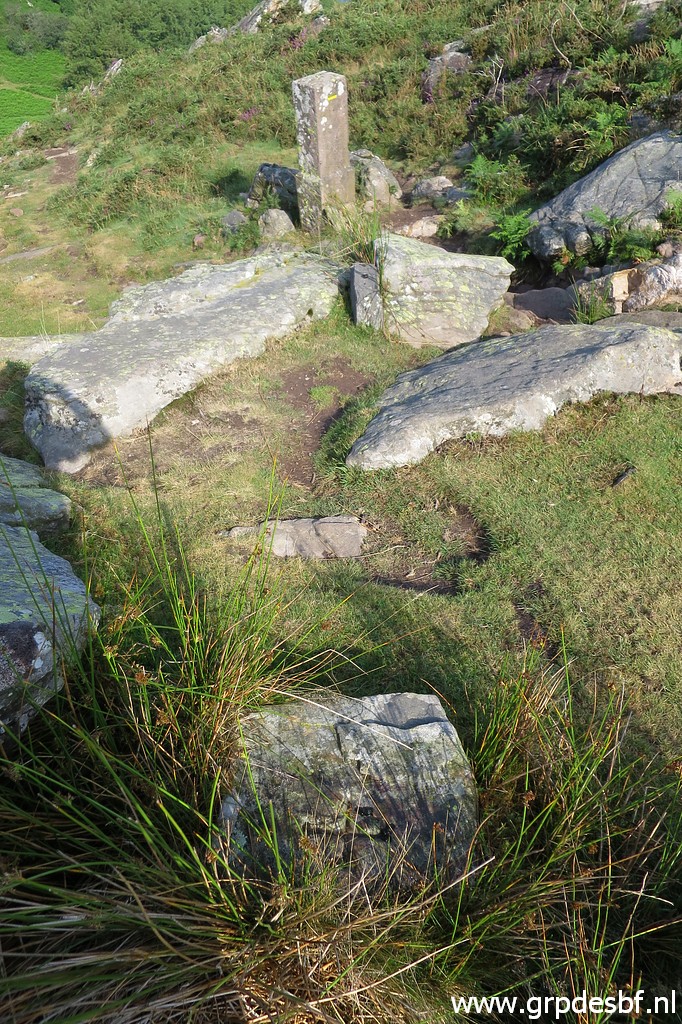
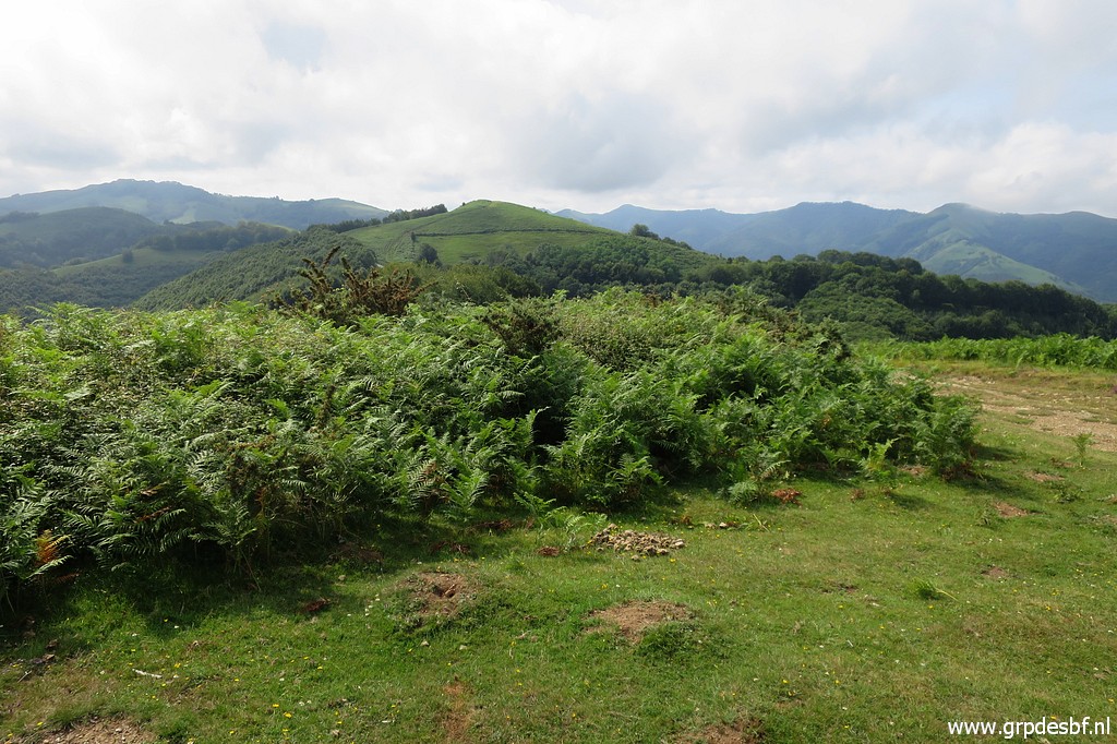
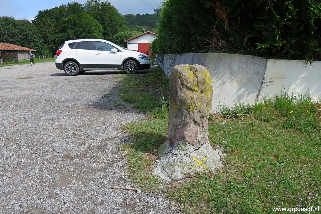
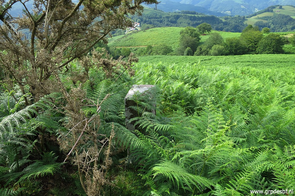 | Bm041 is hidden in the fern. (click photo to enlarge) |
 | Bm041 (click photo to enlarge) |
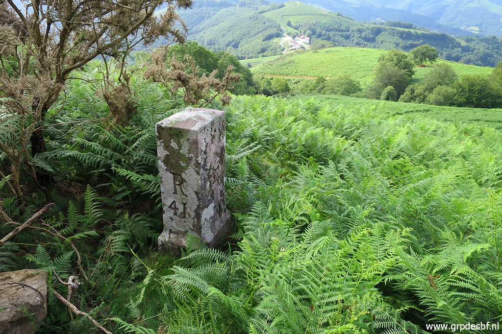 | Bm041 (click photo to enlarge) |
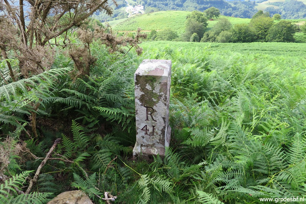
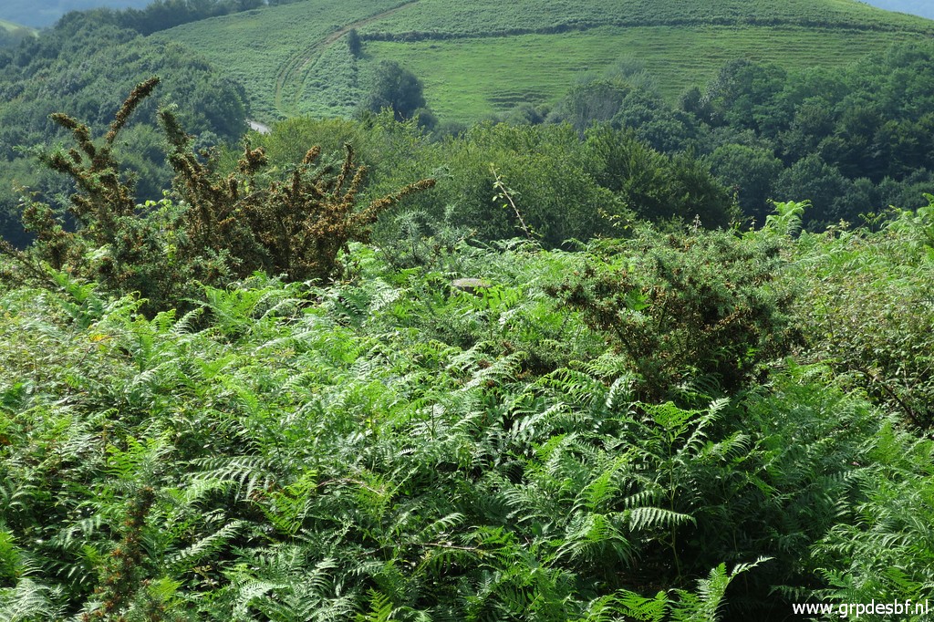
 | Bm041, this picture might help to locate it with the large solitary tree 100m NW. (click photo to enlarge) |
 | I cross this small (dry) streambed where (click photo to enlarge) |
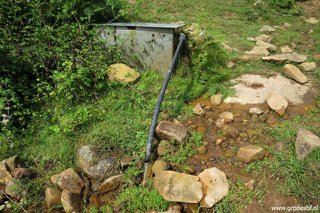 | a waterhose might refresh you. Climbing back to the dirtroad. (click photo to enlarge) |
 | A bit further down the dirtroad, bm042 needs a small detour along a monument (click photo to enlarge) |
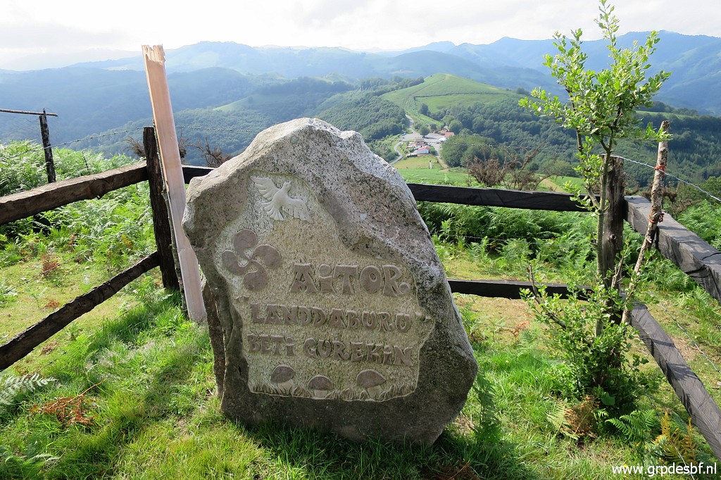 | in the Basque language. (click photo to enlarge) |
 | Bm042 (click photo to enlarge) |
 | Bm042 (click photo to enlarge) |
 | Bm042 with the dirtroad in the background. (click photo to enlarge) |
 | Bm042, looking towards the hilltop of Ibanteli. Note the solitary tree which is 100m NW of bm041. (click photo to enlarge) |
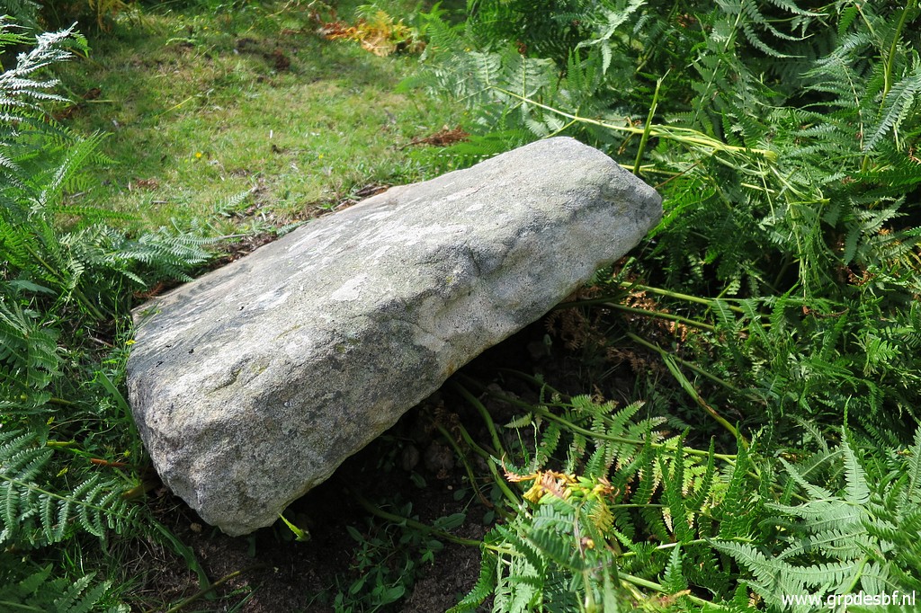
 | Bm042 A rock at its foot with a cross. (click photo to enlarge) |
 | A bit further there is a second flat rock with (click photo to enlarge) |
 | a cross at its side. (click photo to enlarge) |
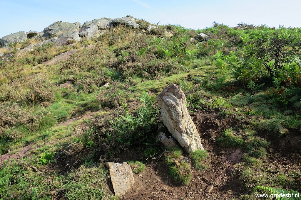
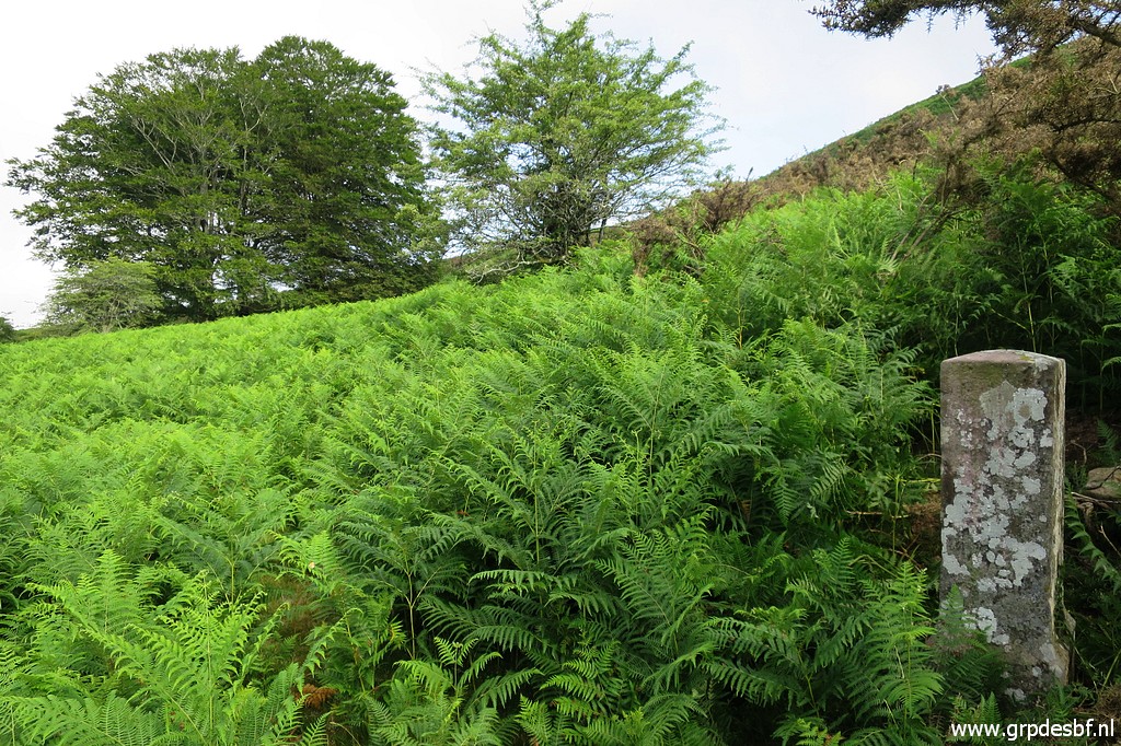
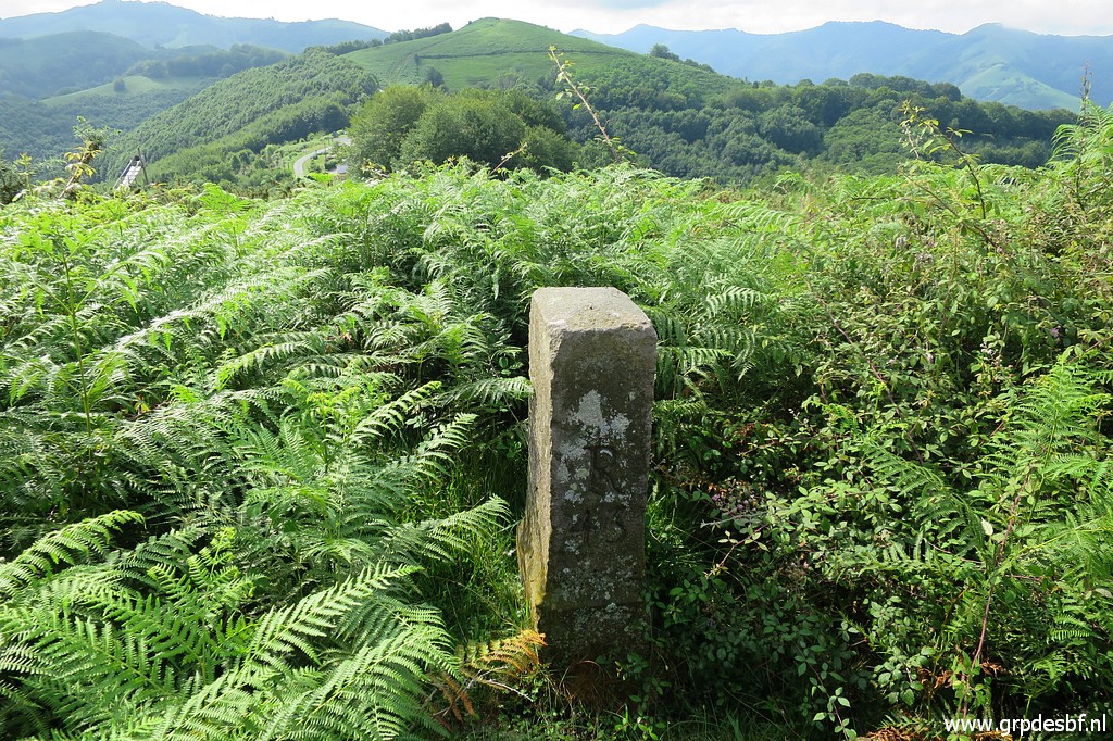
 | Back to the dirtroad and 300m towards Col de Lizarrieta, I arrive at this bifork. Both dirtroads will bring you back to the Col. Bm043 is in the middle of the bifork (click photo to enlarge) |
 | hidden (in this season) by the fern (click photo to enlarge) |
 | but its top visible if you look well. (click photo to enlarge) |
 | Bm043 amidst the fern. (click photo to enlarge) |
 | Bm043 (click photo to enlarge) |
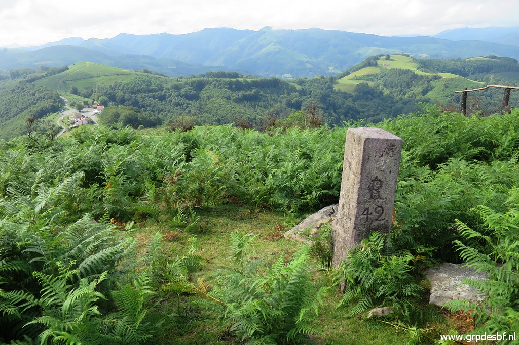
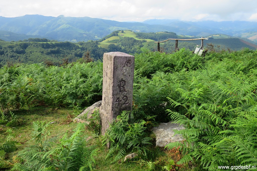
 | Back at the Col de Lizarrieta with bm044 (click photo to enlarge) |
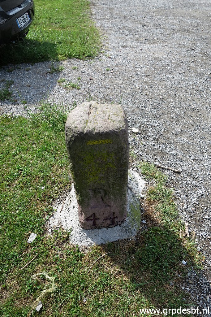 | Bm044 (click photo to enlarge) |
 | Bm044 (click photo to enlarge) |
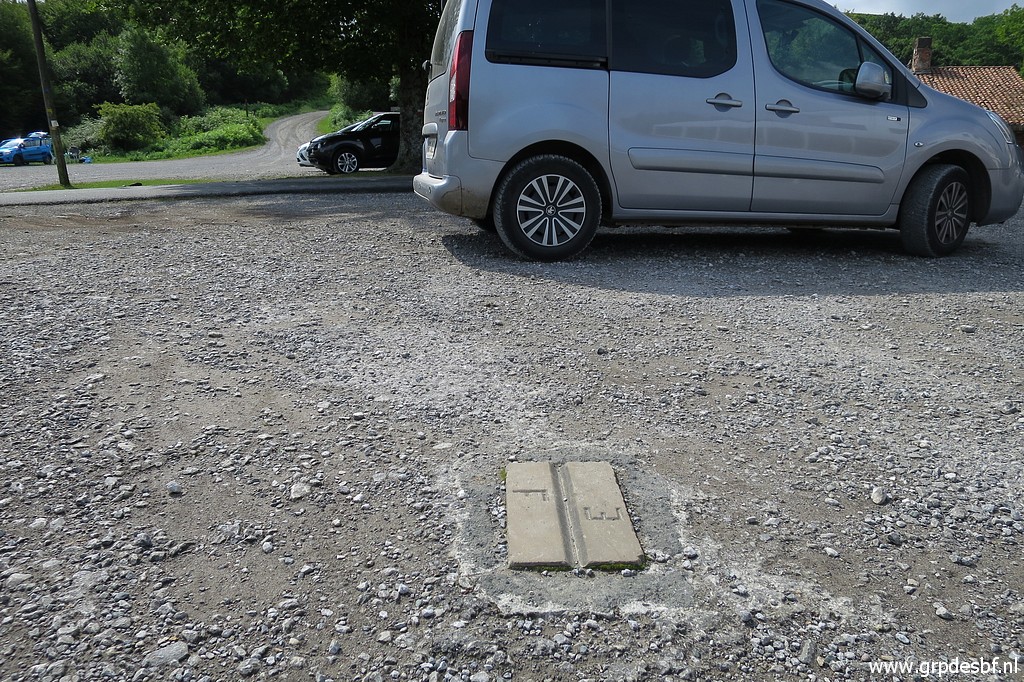
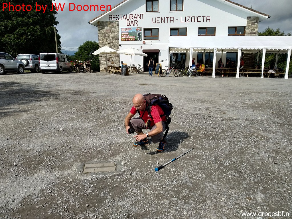 | At the Col there were three unnumbered border plates at surface level. Two of them still exist. This is the first one. These plates were - together with the submarkers bm044a to bm044l - placed in 1988 to give a more precise delimitation. Apparently there was a dispute about the correct delimitation between bm044 and 045. The treaty involved can be found in this pdf-document including a table with the intermediate distances. (click photo to enlarge) |
 | Jan-Willem with the same plates, placed 28,7m from bm044. (click photo to enlarge) |
 | The first plates again (click photo to enlarge) |
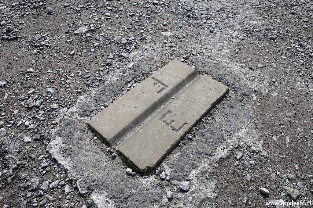 | and in close-up. (click photo to enlarge) |
 | Last picture of these first plates. (click photo to enlarge) |
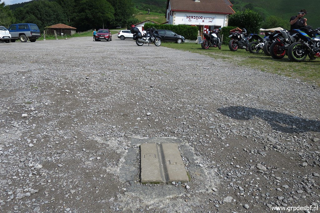
 | These are the second plates (19,7m from the first). (click photo to enlarge) |
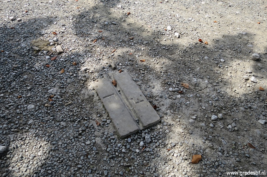 | The second plates in detail (click photo to enlarge) |
 | The second plates once again. The third plates are 32,9m from the second plates but probably covered by tarmac. The distance to bm044a is 3,8m. With the provided distances and appropiate tools it is worthwhile to dig for it in the future. It has been enough for today, we are tired. After a 'grand crème' at the café (click photo to enlarge) |
 | we
drive to the camping Xokoan in Dantxarinea and put up the tent and
my newest gadget: a "party tent" to shelter against sun and rain. Spoiler (as we will discover on our day of departure): it is not suitable for rain which creates pools of water on the canvas instead of dripping off. (click photo to enlarge) |
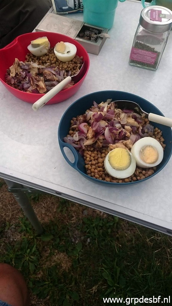 | It's
hot and it will even get hotter during this week of unprecedented
heatwave in Europe. In my hometown Eindhoven the temperature will peak
to 40 degrees. This picture: our healthy evening dinner. We are content and tired. (click photo to enlarge) |