|
The
bordermarkers of the Pyrenees : all my trips
 |
|
| -
monday 22 july
2019 - Redoing bm044a-059 |
 |
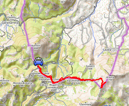 |
Summary: day 2 of a 5 days-trip to the Basque country, revisiting bordermarkers and checking my GRPdesBF-trail. Today: redoing bm044a to bm057 from Col de Lizzarieta. Our basecamp is camping Xokoan in Dantxarinea. Weather: cloudy & cool in the morning, sunny & hot in the afternoon. |
 track-20190722.kml
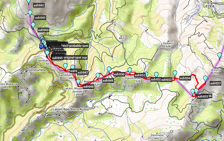
(click to open this trip in Google Earth or copy link to Google Maps; click right on this link to download gpx-version). The gps-track has not been manually corrected which explains the inaccuracy and misalignment at some points. For cartographic backgrounds: see the cartography-page Gps-waypoints of all bordermarkers (most recent version): kml: esfr-bordermarkers-all-waypoints.kml gpx: esfr-bordermarkers-all-waypoints.gpx |
|
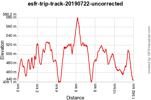 |
According to Garmin
Basecamp (uncorrected track): Distance: 12,0 km Max-height: 579m Min-height: 438m Elevation: +676m -676m Total elevation: 1352m Start 08:24 Finish 13:48 Total time: 5:24 |
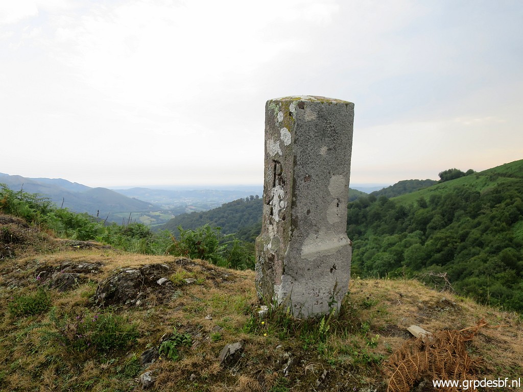
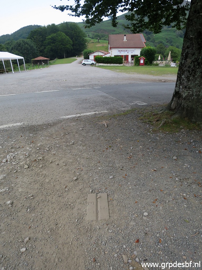 | Early start at Col de Lizzarieta because of the expected heat. We make pictures again of the two surviving borderplates on the col. This is the second one from bm044 (which stands near the house in the background. These plates were - together with the submarkers bm044a to bm044l - placed in 1988 to give a more precise delimitation. Apparently there was a dispute about the correct delimitation between bm044 and 045. The treaty involved can be found in this pdf-document including a table with the intermediate distances. (click photo to enlarge) |
 | This is the first one from bm044, looking in the direction of bm044a. The second one (previous picture) is under the tree. The third one (disappeared or under the tarmac) is close to the green hillside. (click photo to enlarge) |
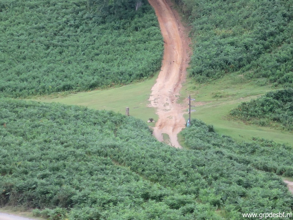
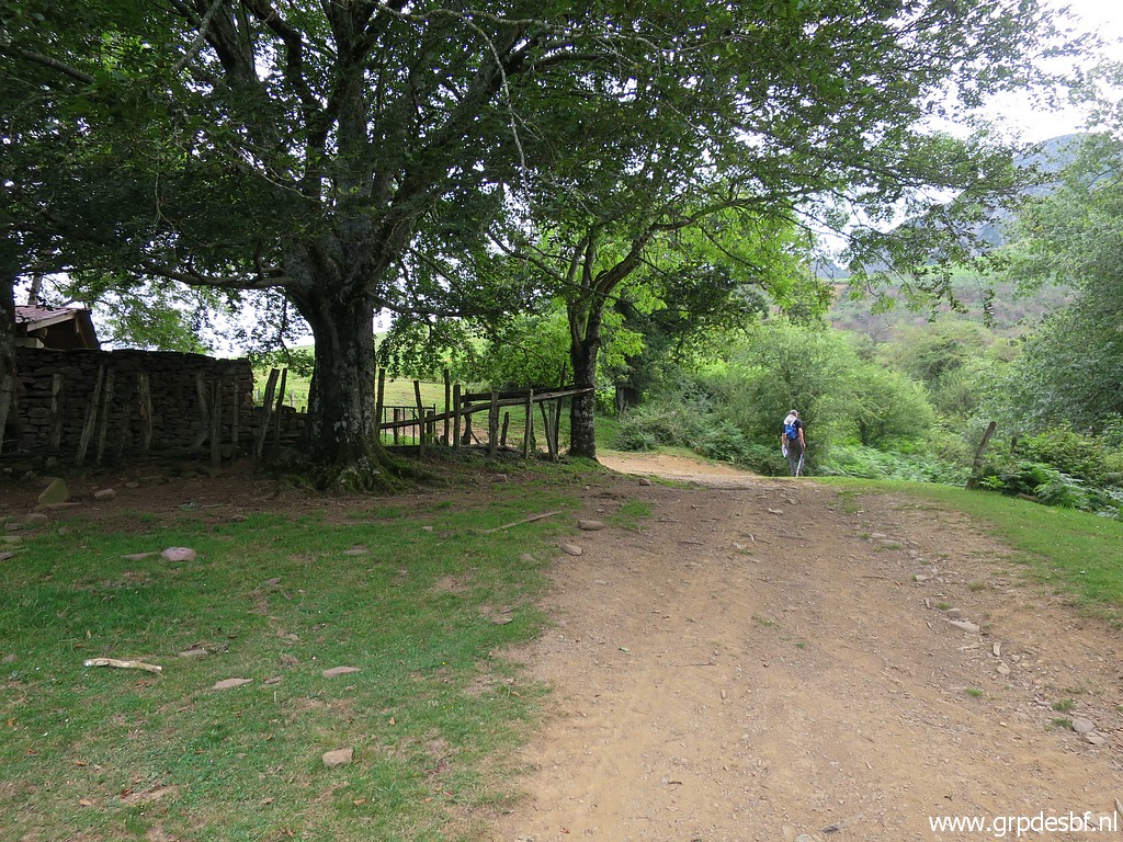
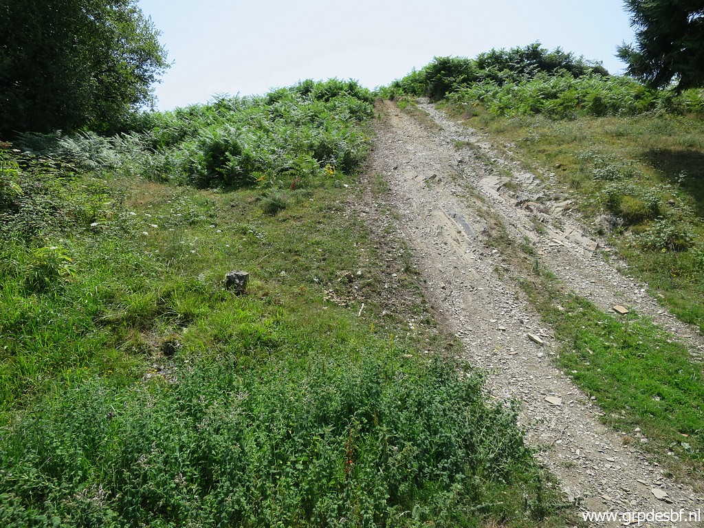
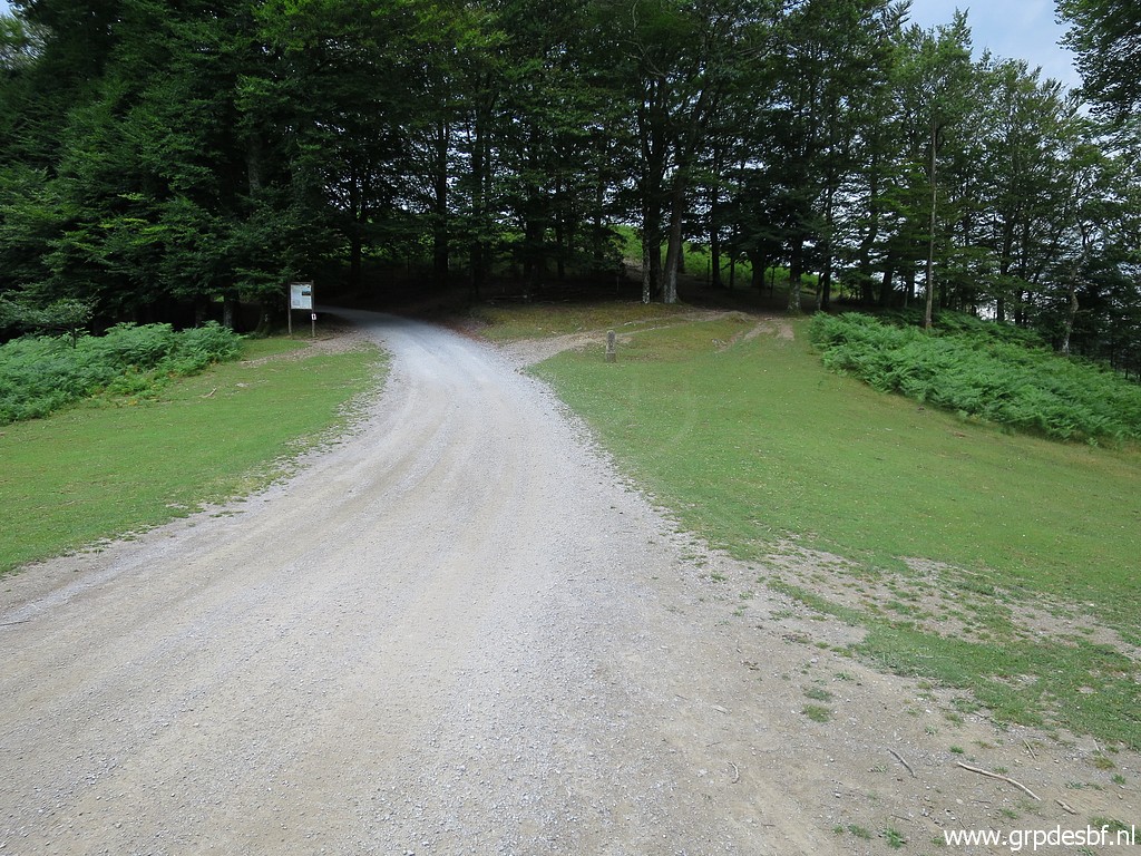 | Along the dirtroad we walk to (click photo to enlarge) |
 | Bm046. We will do bm044a-045 on our return. (click photo to enlarge) |
 | Bm046 (click photo to enlarge) |
 | Then up the borderridge with soon this (click photo to enlarge) |
 | unnumbered and undocumented marker in between. (click photo to enlarge) |
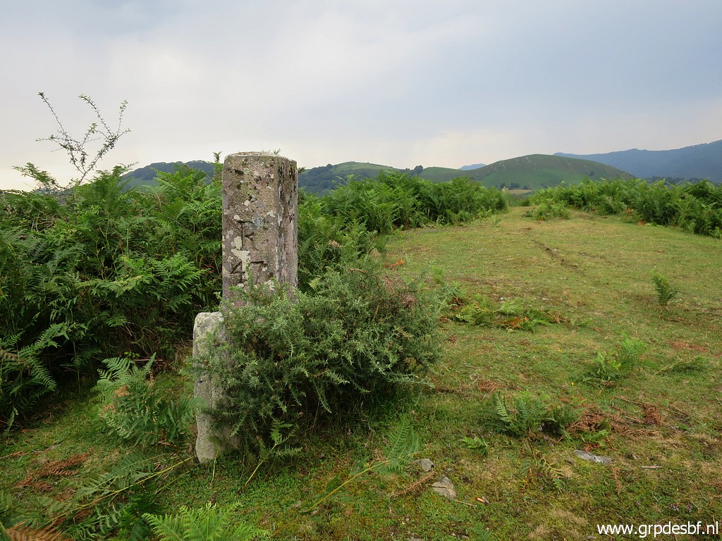
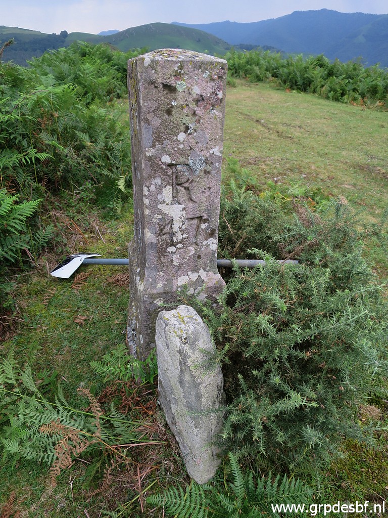
 | Bm047, note the undocumentend stone marker at its foot. (click photo to enlarge) |
 | Bm047 (click photo to enlarge) |
 | Bm047 (click photo to enlarge) |
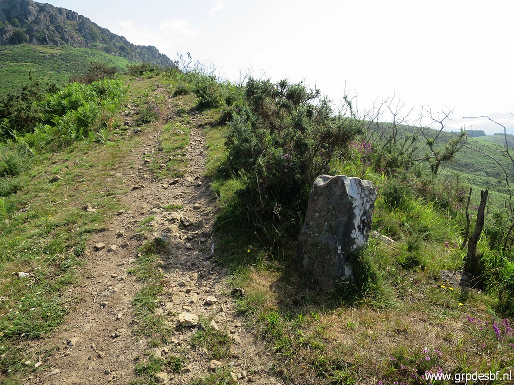
 | Continuing to bm048 (click photo to enlarge) |
 | Bm048 (click photo to enlarge) Between bm048 and bm049 its is easier to descend to the dirtroad and after 250m climb the ridge again. |
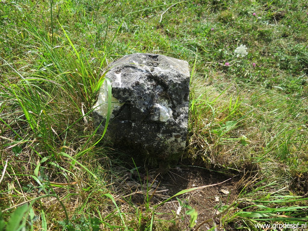
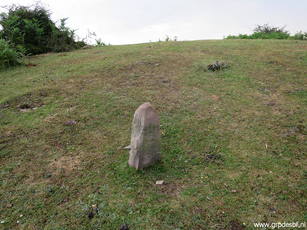 | An unnumbered and undocumented marker in between. (click photo to enlarge) |
 | Continuing to bm049 which (click photo to enlarge) |
 | has lost it top. It was still there 10 years ago on 20090405. (click photo to enlarge) |
 | Bm049 (click photo to enlarge) |
 | We descend again, now to a sort of pass (click photo to enlarge) |
 | where (zoom-in) bm050 is to be found. (click photo to enlarge) |
 | Bm050 (click photo to enlarge) |
 | Bm050 (click photo to enlarge) |
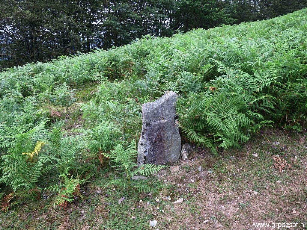
 | Bm050, note the stone at its foot with a cross. (click photo to enlarge) Taking up the ridge again and |
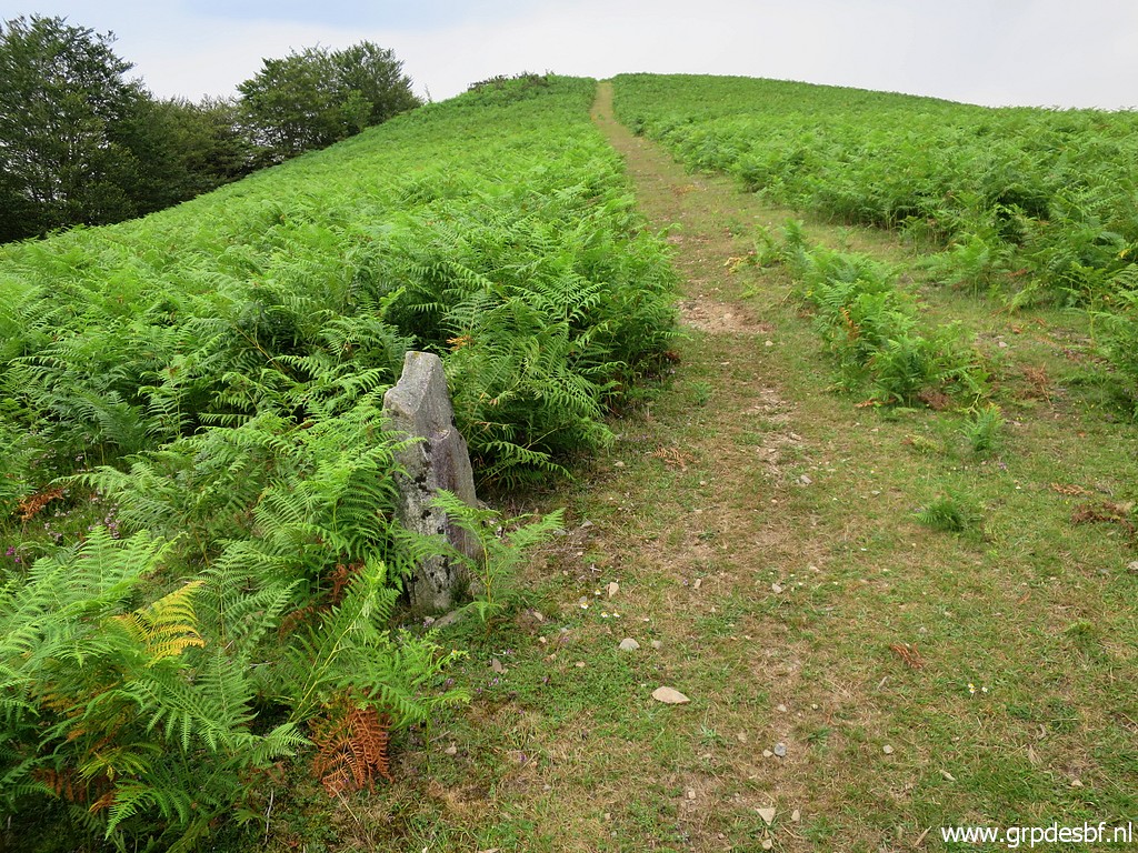
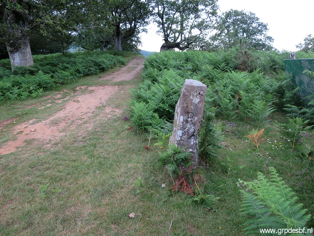
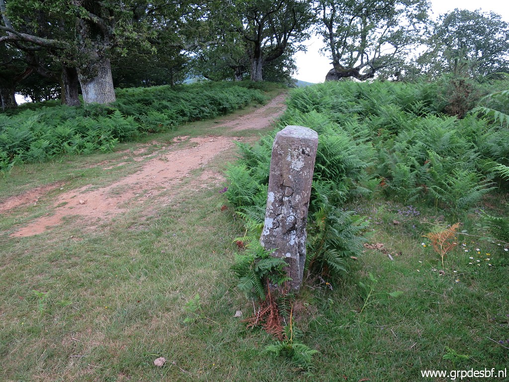
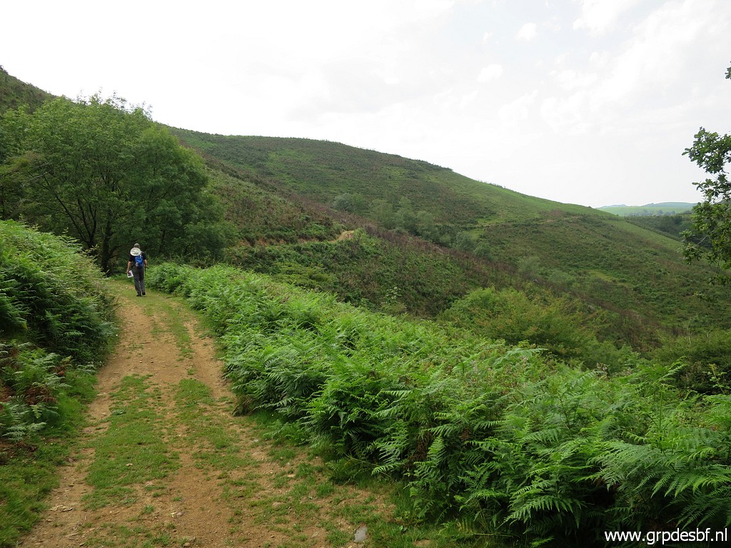
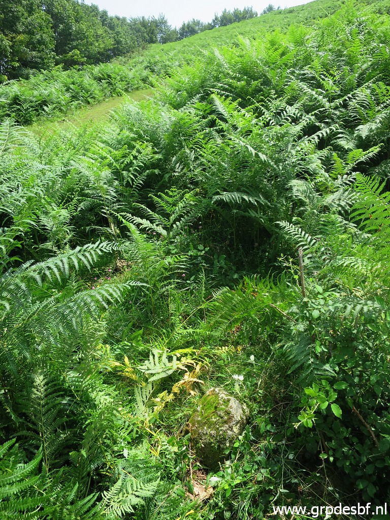
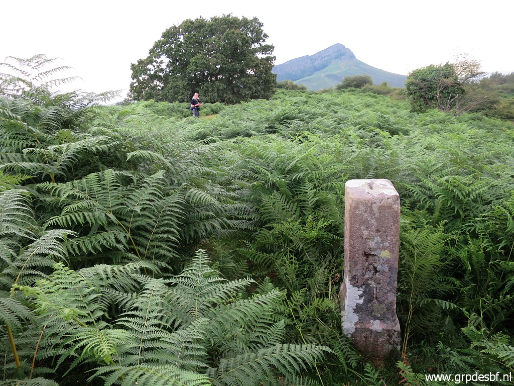 | Climbing again up the borderridge and continuing to bm051. Bm051 stands 15m off the path between the fern. In the background Jan-Willem on the trail. (click photo to enlarge) |
 | Bm051 (click photo to enlarge) |
 | And continuing along the trail to bm052 (click photo to enlarge) |
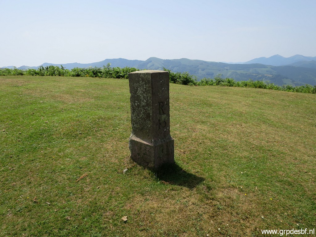
 | Bm052 Note, the main dirtroad is ± 25 to the left and parallel with this track. (click photo to enlarge) |
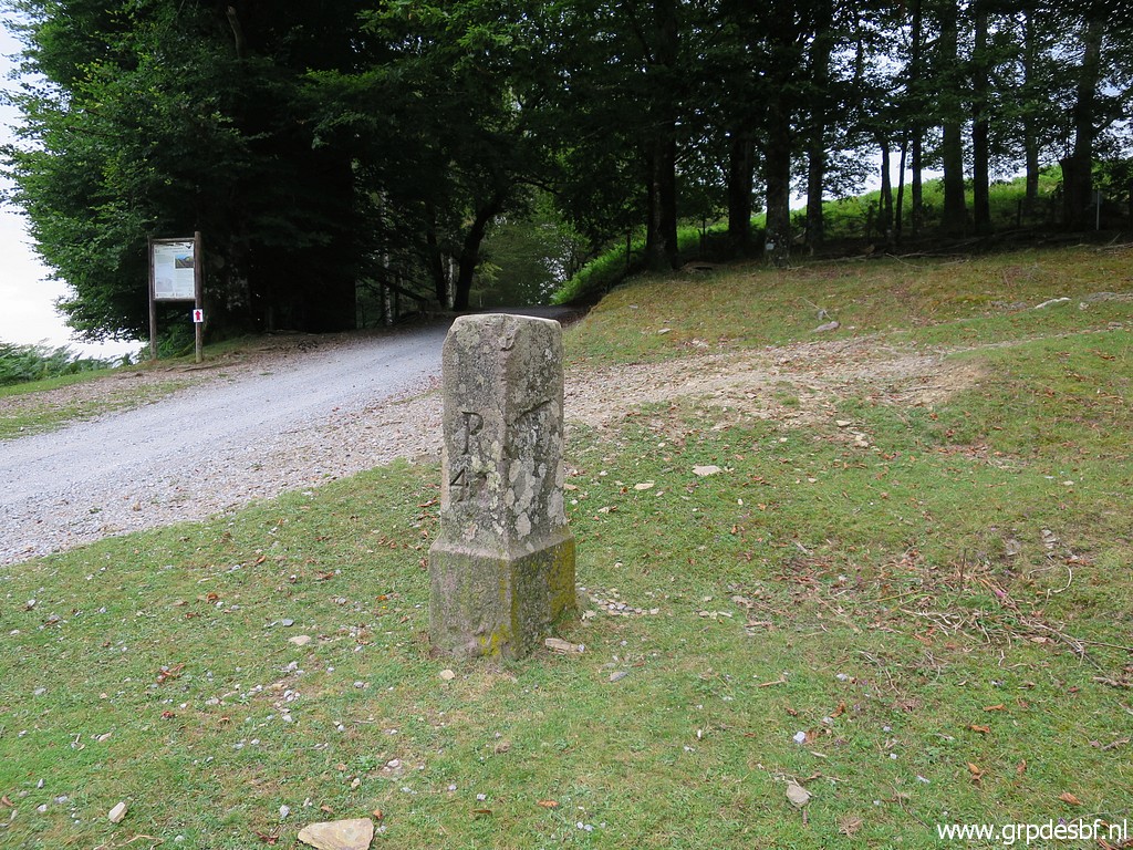
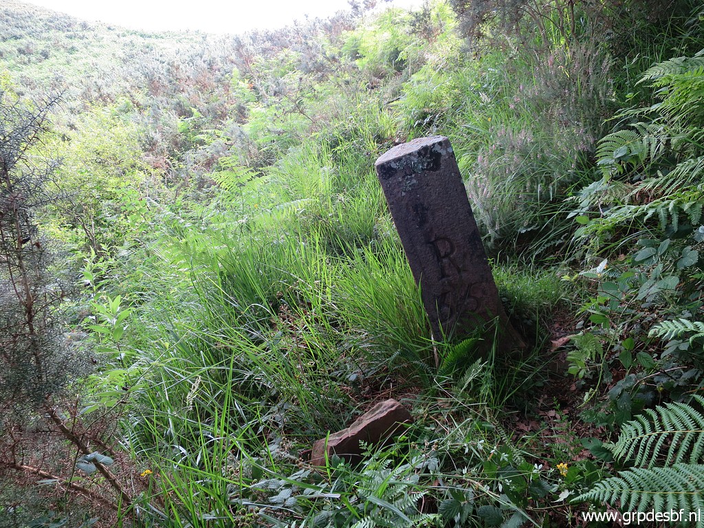
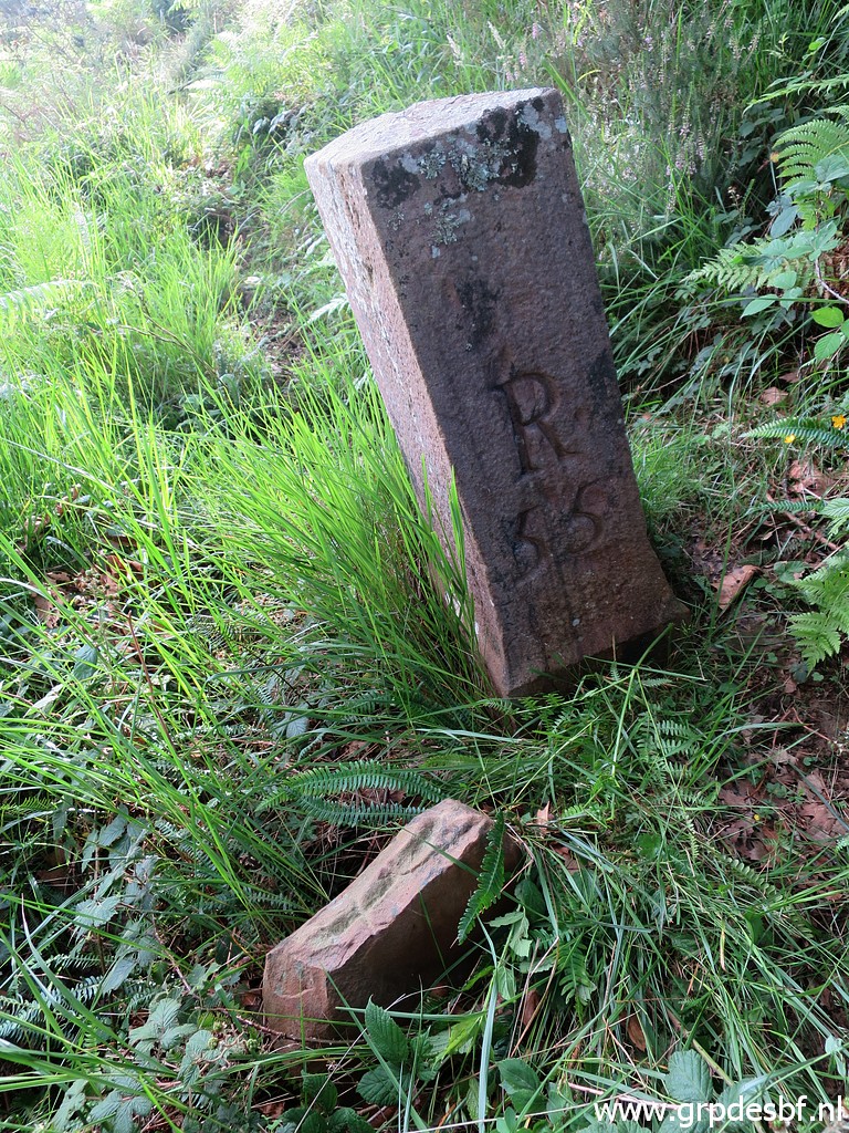
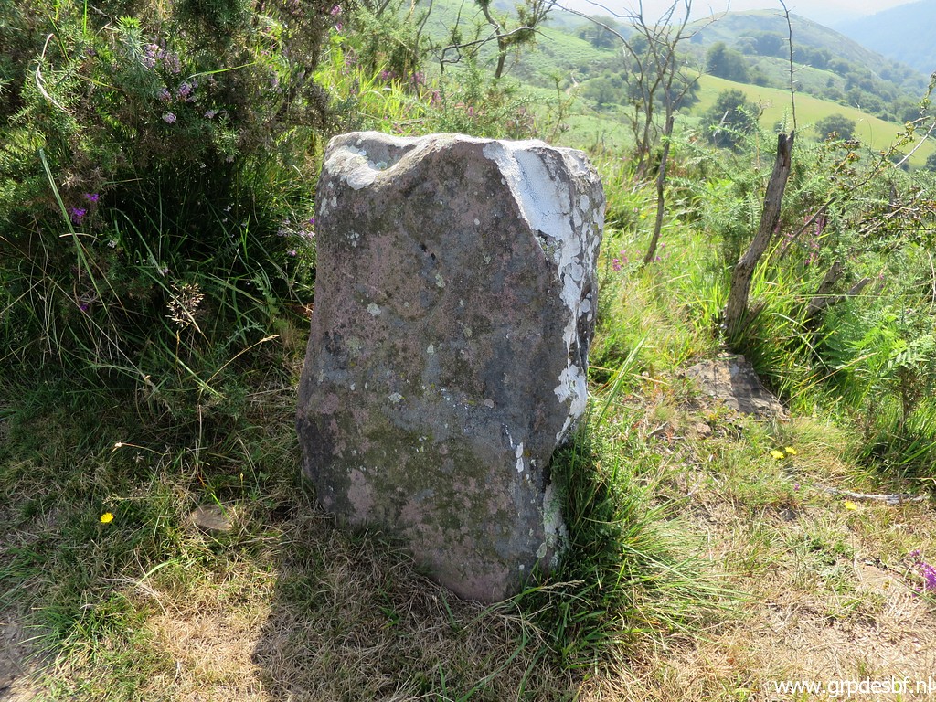
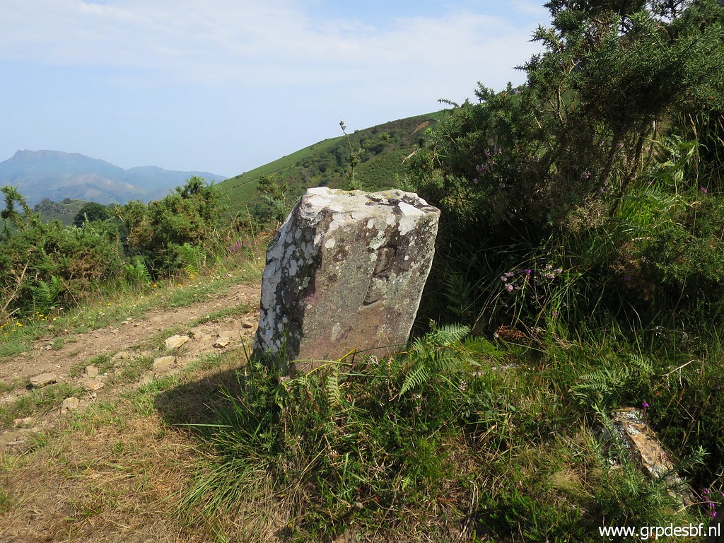
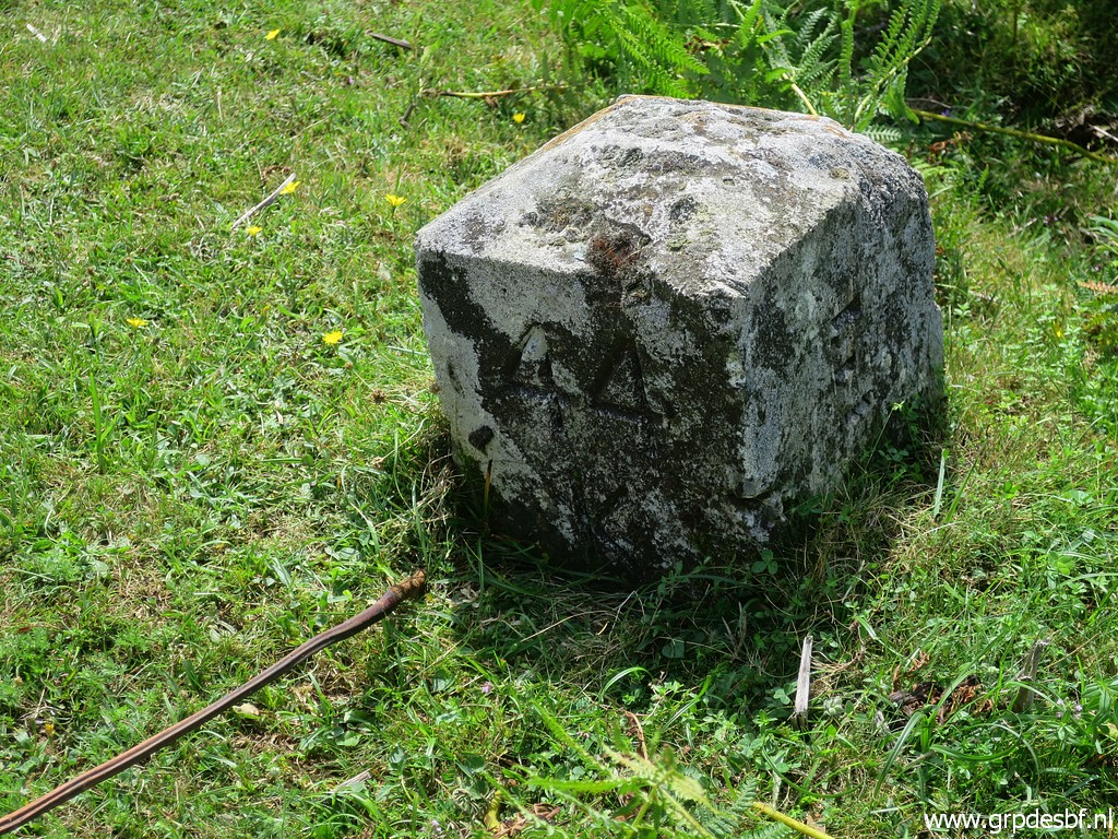
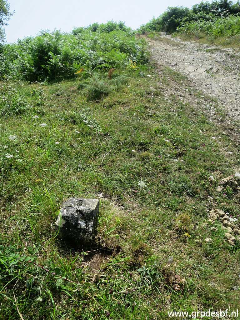
 | Continuing to bm053, note the undocumentend stone marker at its foot. (click photo to enlarge) |
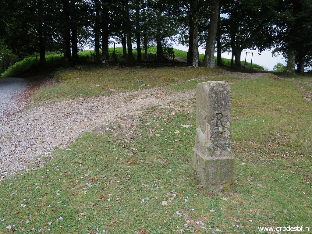
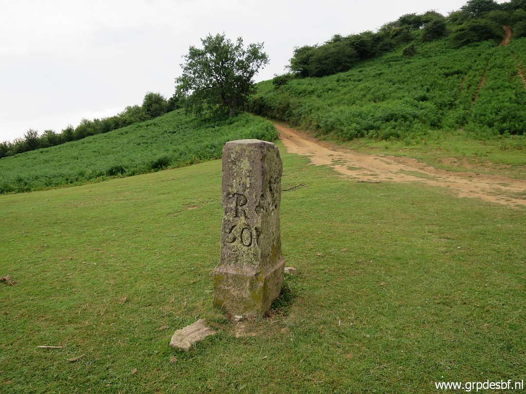
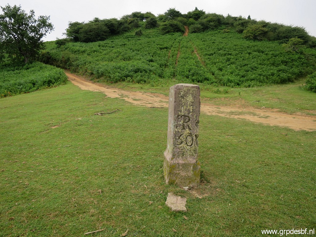
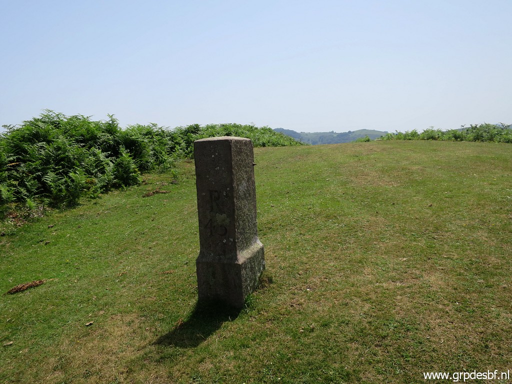
 | Bm053 (click photo to enlarge) Then 50m to the left and taking the dirtroad going E. |
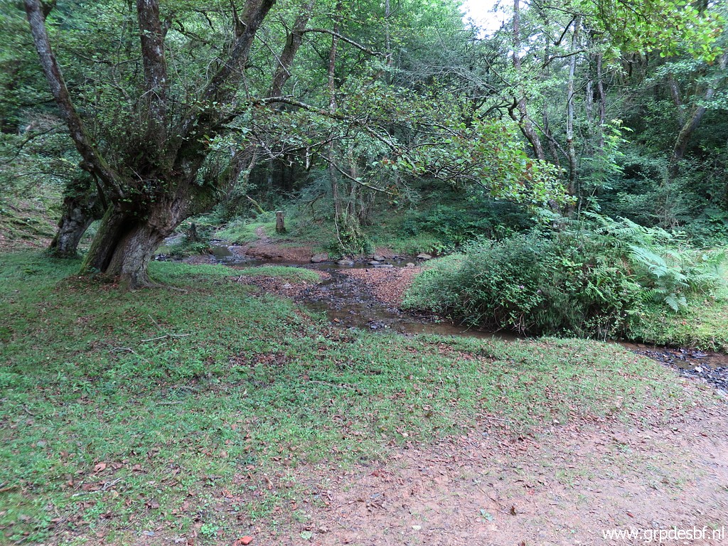 | We descend along that dirtroad to a stream with (click photo to enlarge) |
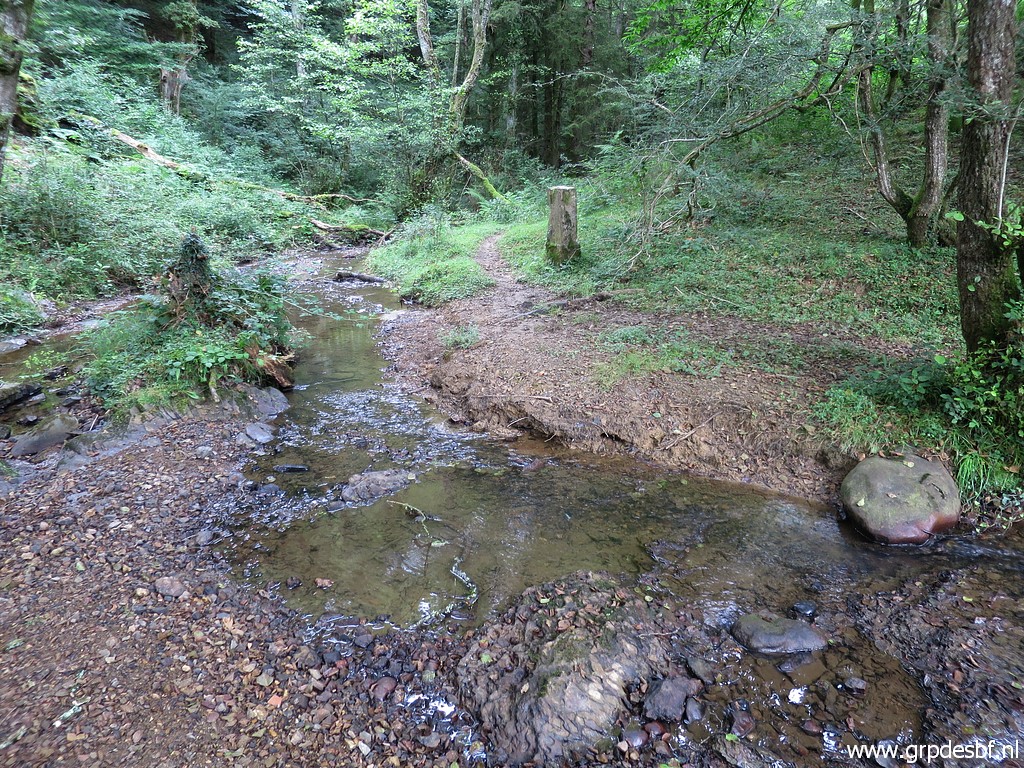 | bm054. (click photo to enlarge) |
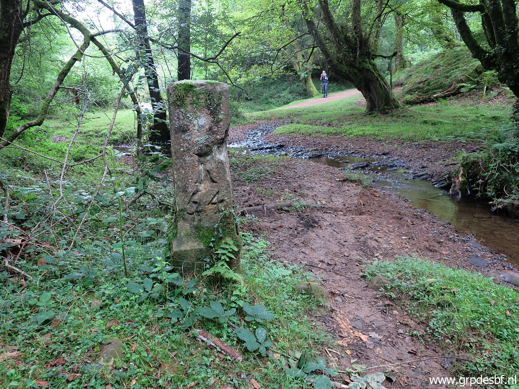 | Bm054, in the background Jan-Willem on the dirtroad which crosses the stream right there. (click photo to enlarge) |
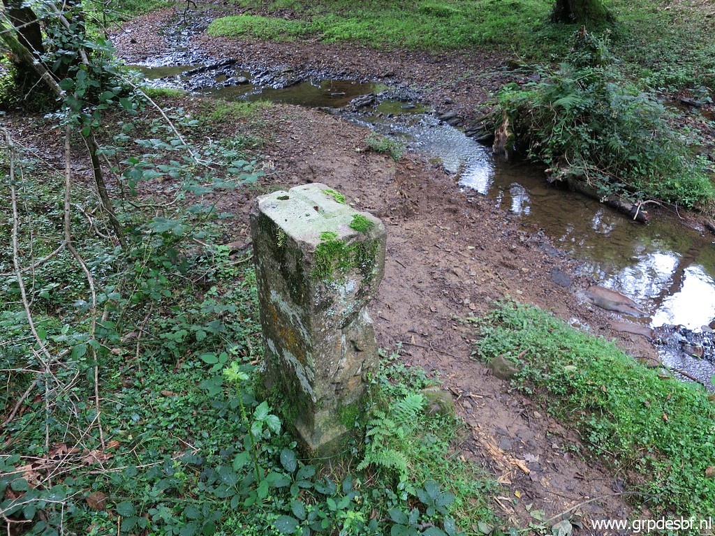 | Bm054, note the groove at its top. (click photo to enlarge) |
 | We climb up the hill (click photo to enlarge) |
 | and then bend towards the Col des Trois Bornes (bm056). (click photo to enlarge) |
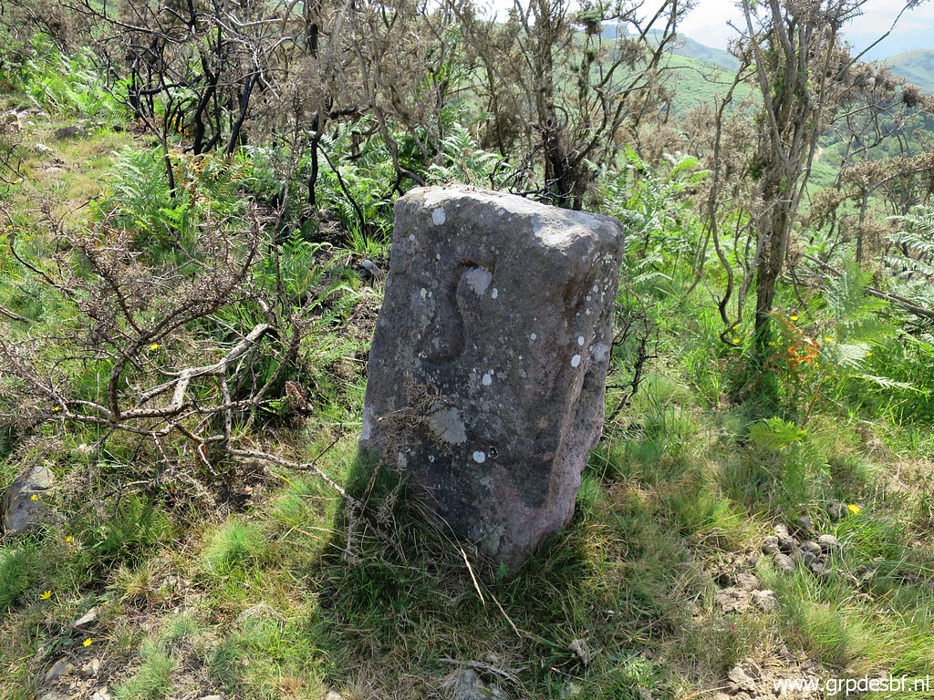
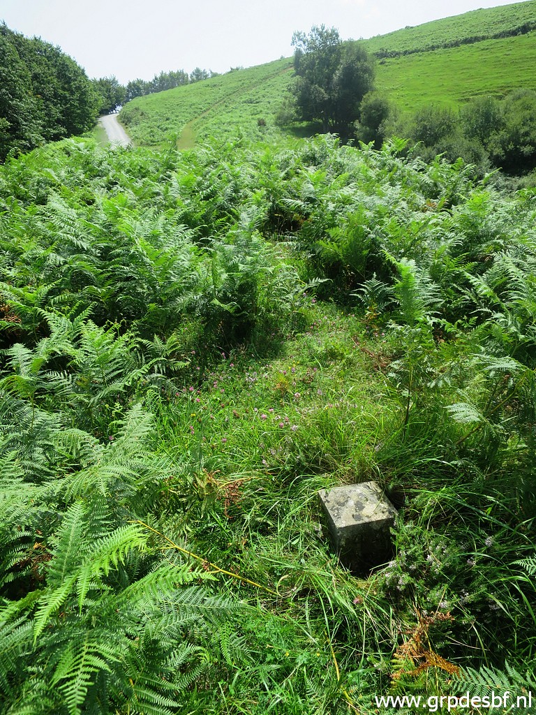
 | But from that Col I first cover bm055. Ten years ago, there were fences but now you can descend more or less straight through the fern and broom to bm055. That is ± 100m W of bm056. (click photo to enlarge) |
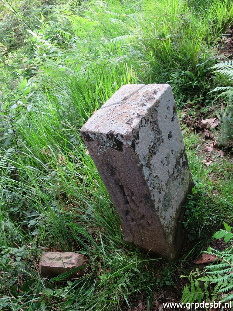
 | Bm055, note the undocumentend stone marker with a cross at its foot. (click photo to enlarge) |
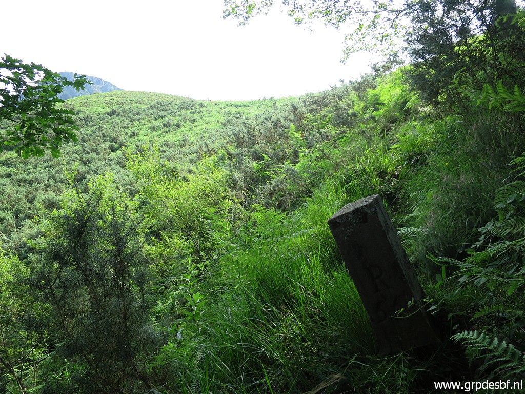 | Bm055, in the background the Col des Trois Bornes. (click photo to enlarge) |
 | Bm055 (click photo to enlarge) |
 | Bm055 stands just beyond a large tree along the remains of a fence and is better (click photo to enlarge) |
 | visible on this zoom-in. (click photo to enlarge) |
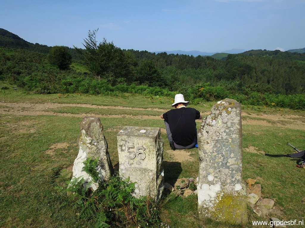 | Meanwhile Jan-Willem is waiting at bm056. (click photo to enlarge) |
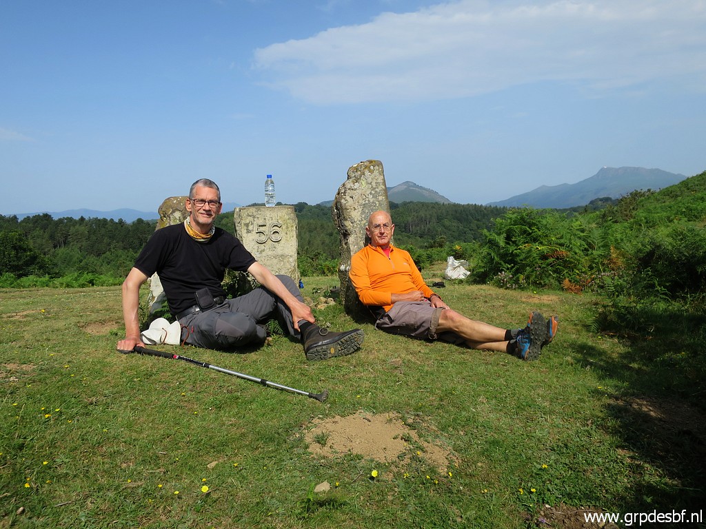 | Bm056, time for a break. We do an reenactment of the picture (click photo to enlarge) |
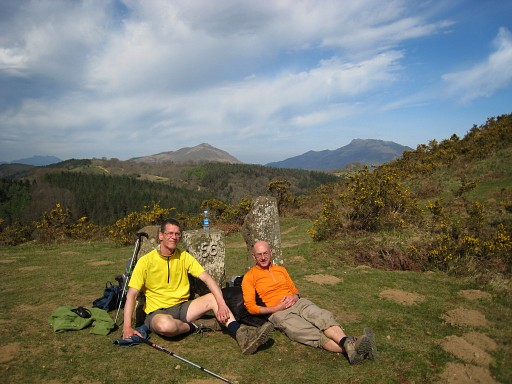 |
we made 10 years ago on 6-4-2009. I still wear the same shirt as 10 years ago. I only use it in the Pyrenees |
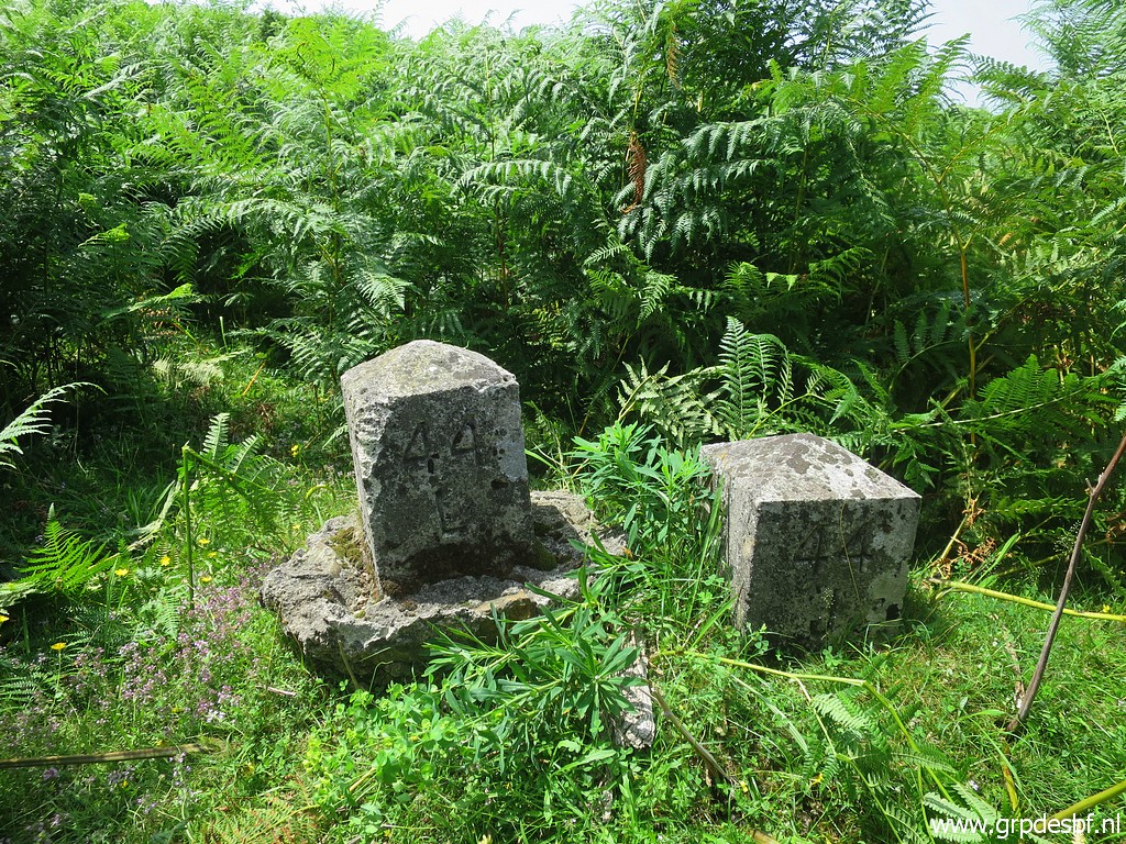
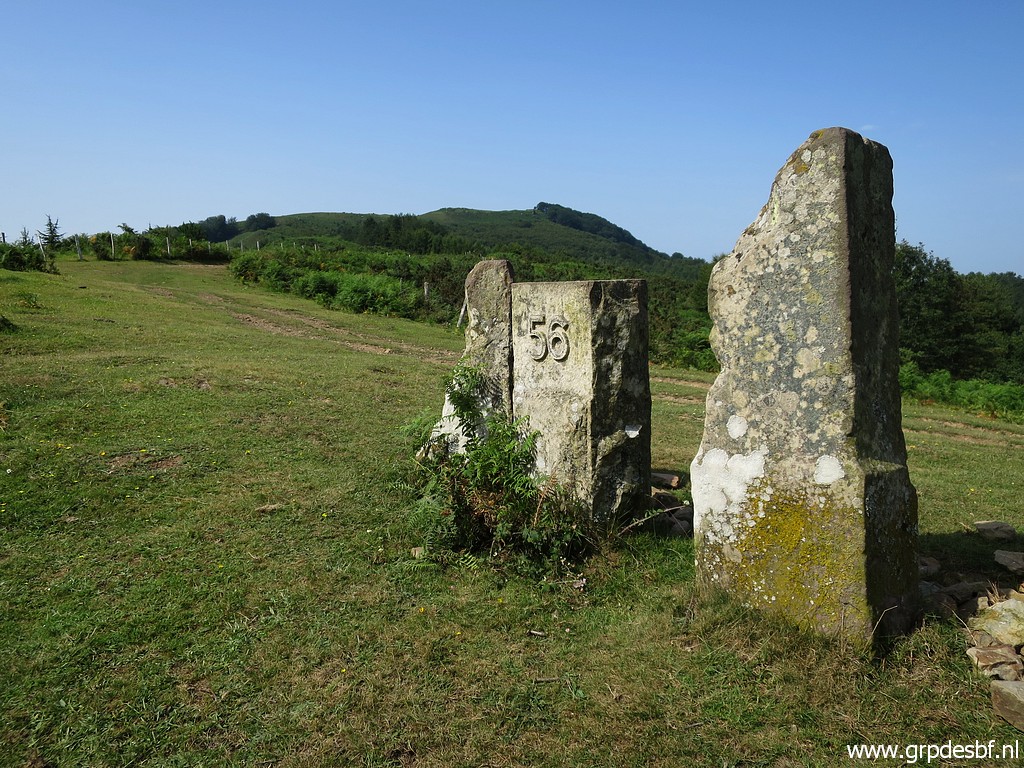 | Bm056 has two neighbours. (click photo to enlarge) |
 | The last one on this picture is the old bm056. (click photo to enlarge) |
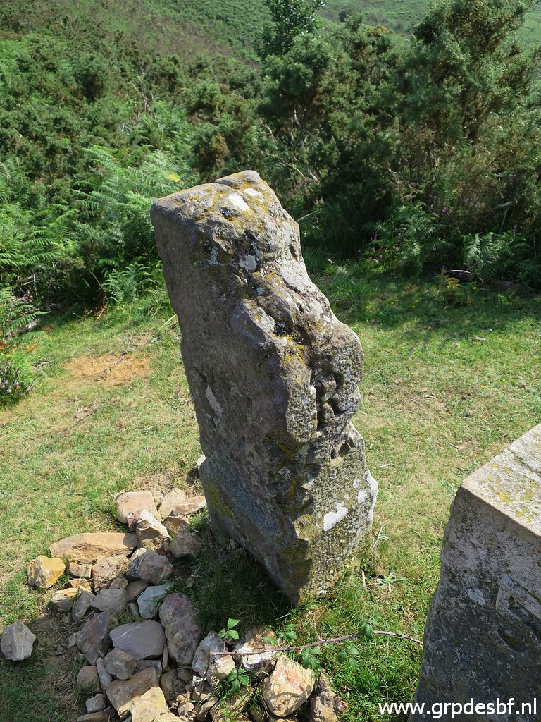 | Bm056, the original one. (click photo to enlarge) |
 | In the front another marker of unknown descent. (click photo to enlarge) |
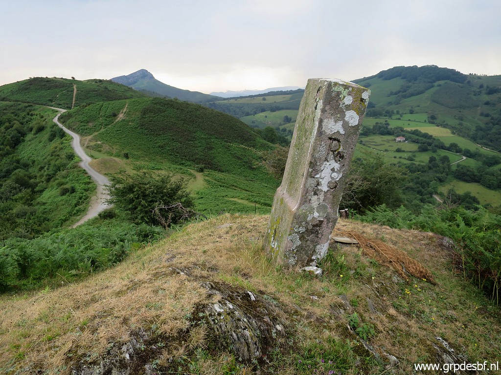
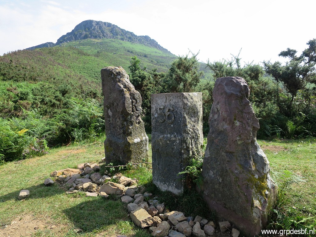
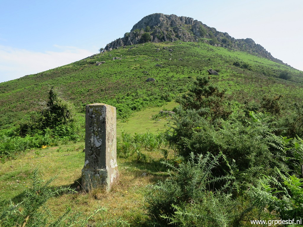
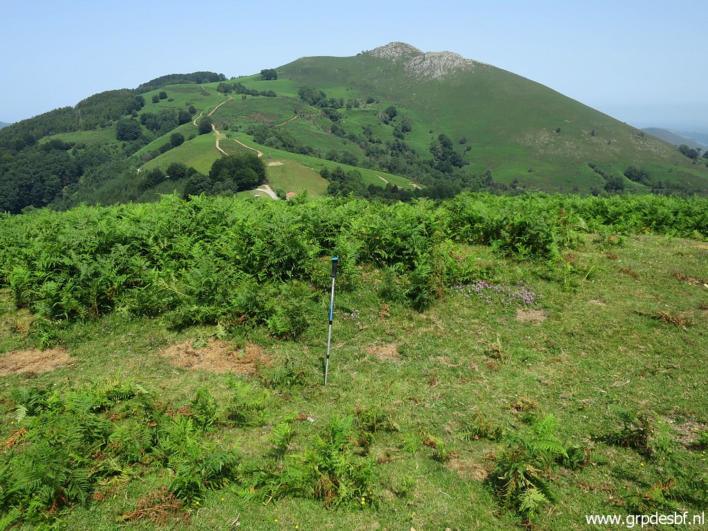
 | Bm056, the three together with the hilltop of Atxuria in the background. The borderline climbs to it along the ridge. As you can see, the sun is out there and the temperature is rising. (click photo to enlarge) |
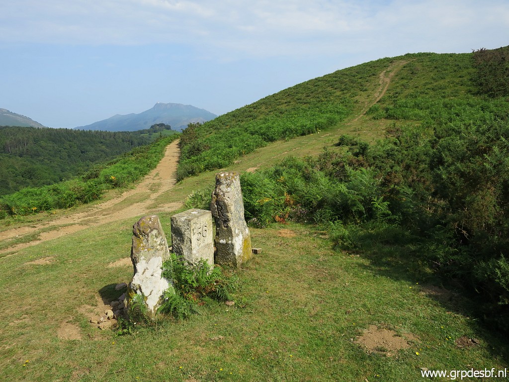 | Bm056 with the sandy dirtroad we came from (click photo to enlarge) |
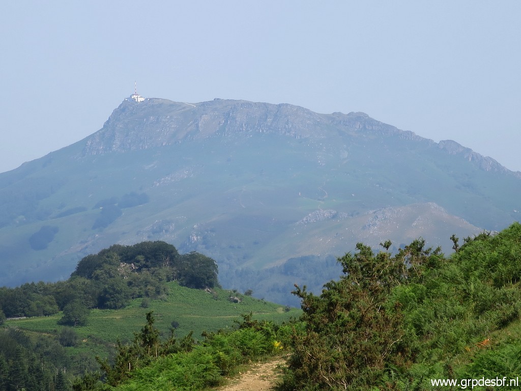 | and La Rhune in the far distance. (click photo to enlarge) |
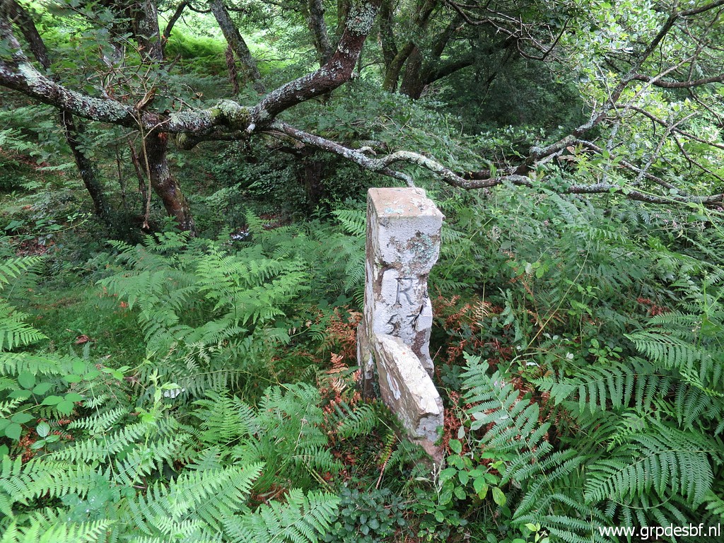
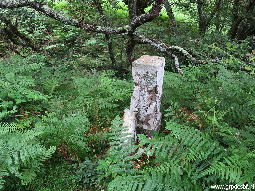
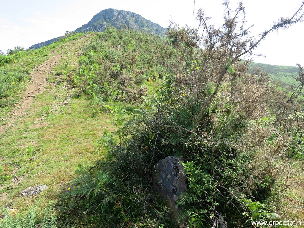 | Then we climb up the trail towards bm057. There are 4 or 5 old markers in between which are supposedly old bordermarkers between the municipalities of Sare (France) and Baztan (Spain). I have seen more of them in this region. This is the first one we spot. (click photo to enlarge) |
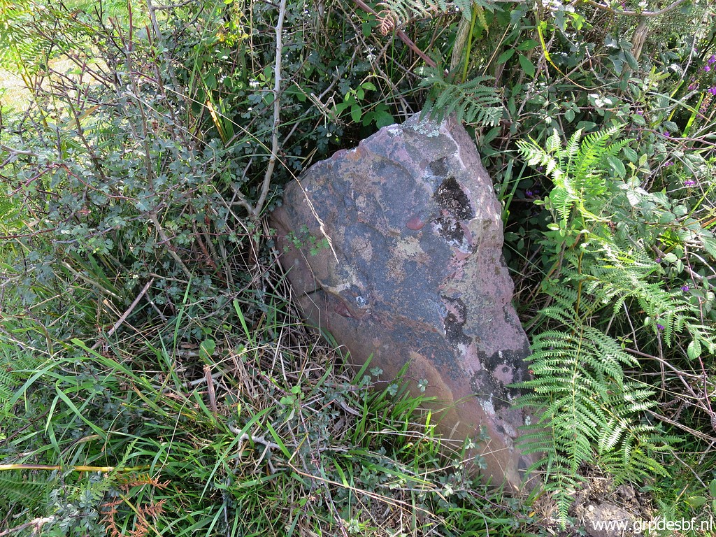 | Intermediate S/B-marker no.1 Jacques Koleck reported 5 of them while Robert Darrieumerlou was sure there are only 4 of them between bm056 and 57. We are going to check for ourselves. (click photo to enlarge) |
 | Intermediate S/B-marker no.2 (click photo to enlarge) |
 | Intermediate S/B-marker no.2 (click photo to enlarge) |
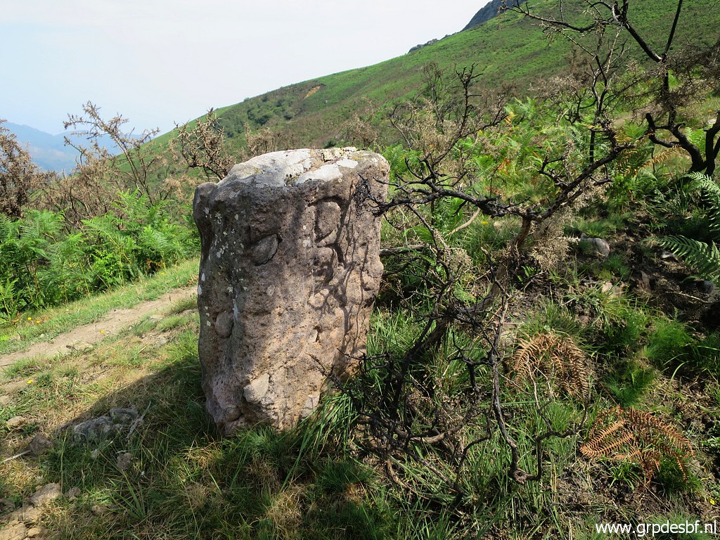
 | Intermediate S/B-marker no.2 You can see the letter B. (click photo to enlarge) |
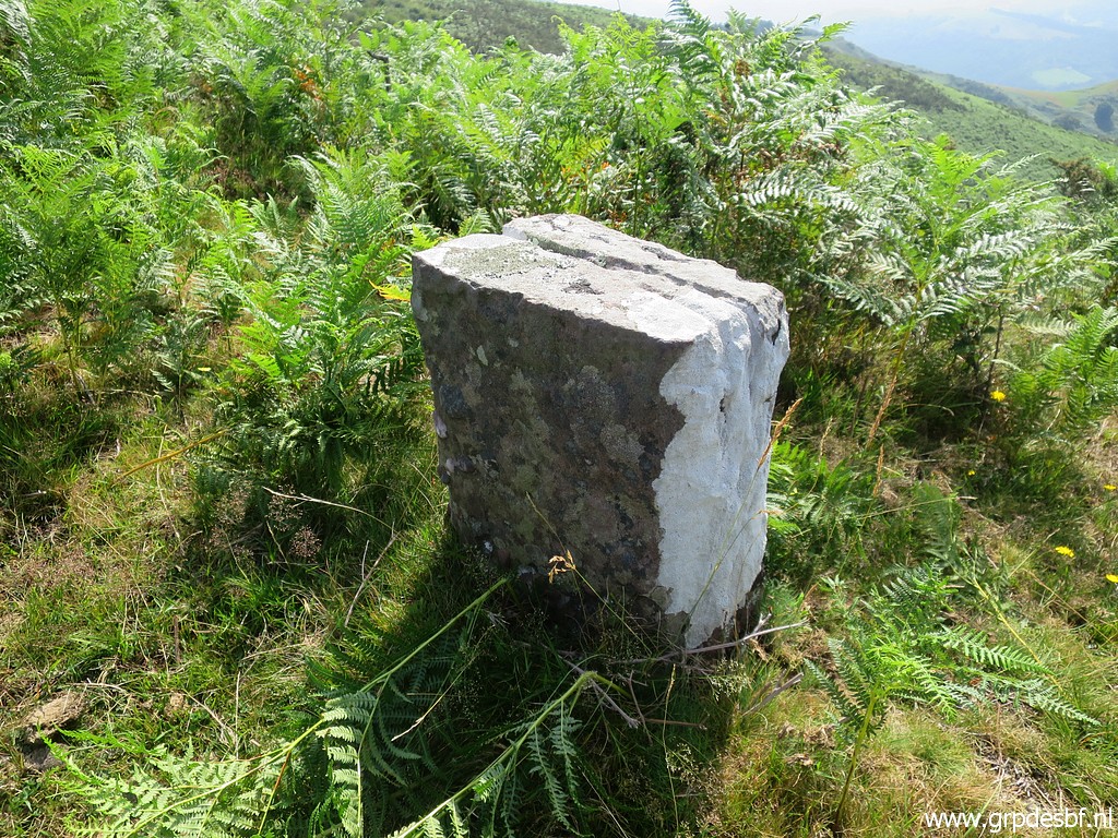
 | Intermediate S/B-marker no.3 (click photo to enlarge) |
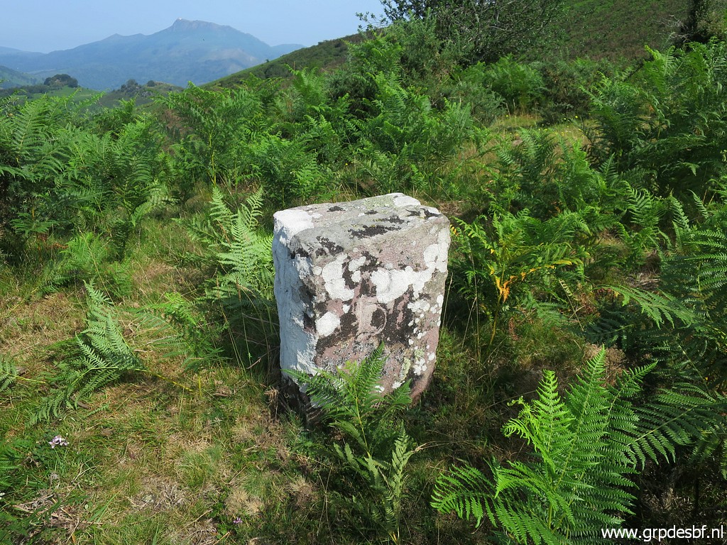
 | Intermediate S/B-marker no.3 Note the S (click photo to enlarge) |
 | Intermediate S/B-marker no.3 Note the B (click photo to enlarge) |
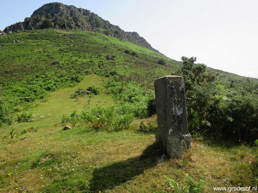
 | Intermediate S/B-marker no.4 In the background bm057 (click photo to enlarge) |
 | Intermediate S/B-marker no.4 (click photo to enlarge) |
 | Intermediate S/B-marker no.4 Note the B Conclusion: there 4 S/B-markers, not 5. (click photo to enlarge) |
 | Bm057 (click photo to enlarge) |
 | Bm057 This is our farthest point and we return along the trails and dirtroads. (click photo to enlarge) |
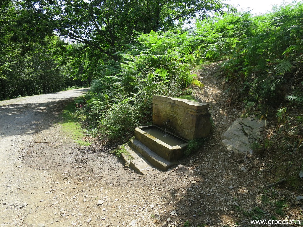 | This is a source along the dirtroad, approximately 150m NNE of bm049. Is important to know. Between bm036 and bm059 there are few sources of water. (click photo to enlarge) |
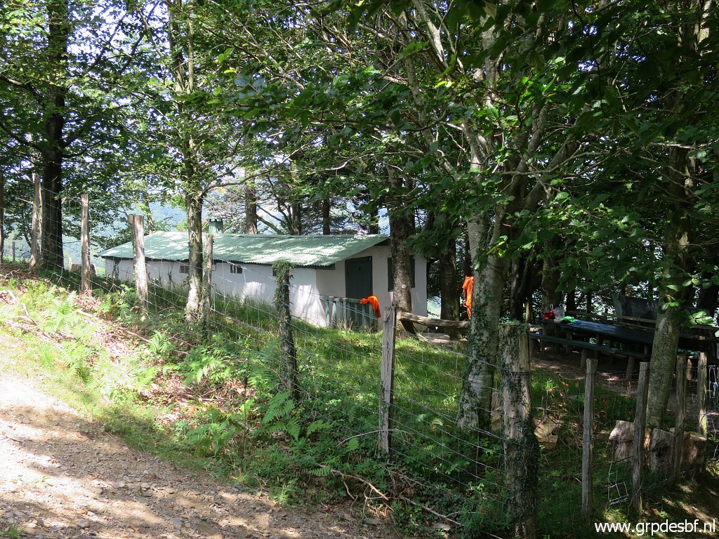 | At the other side of the dirtroad this cabin which is private. (click photo to enlarge) |
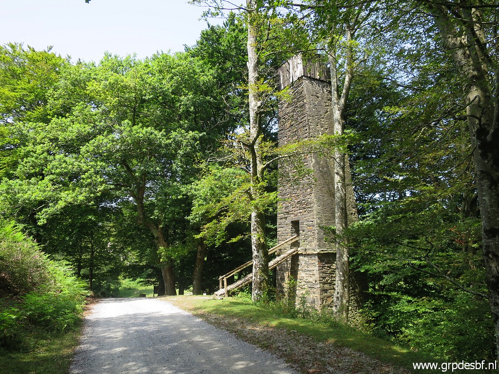 | And further on this peculiar watchtower. (click photo to enlarge) We walk back until ± 300m past bm046 where we leave the dirtroad to climb on the borderridge to |
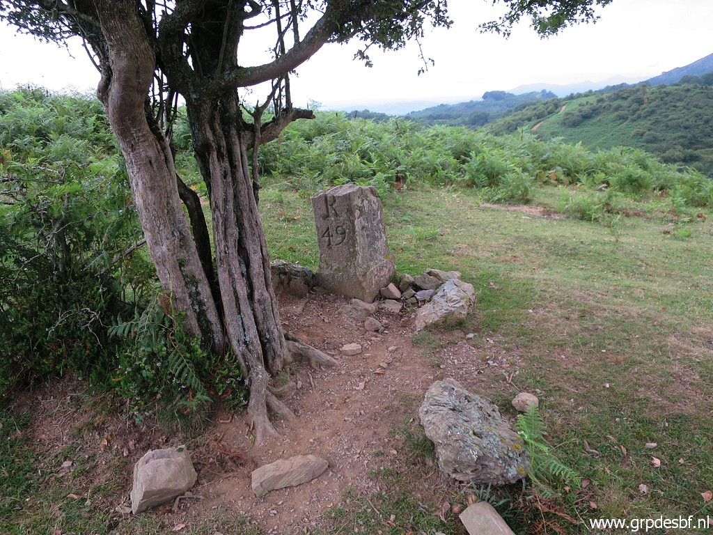
 | bm045. Bm045 and the intermediate markers bm044a-l are the last ones of today. (click photo to enlarge) |
 | Bm045 (click photo to enlarge) |
 | Bm045 (click photo to enlarge) |
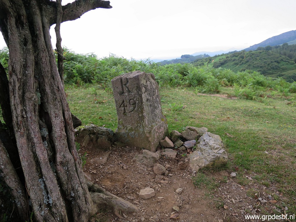
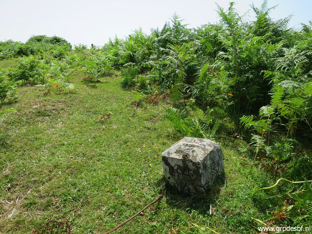
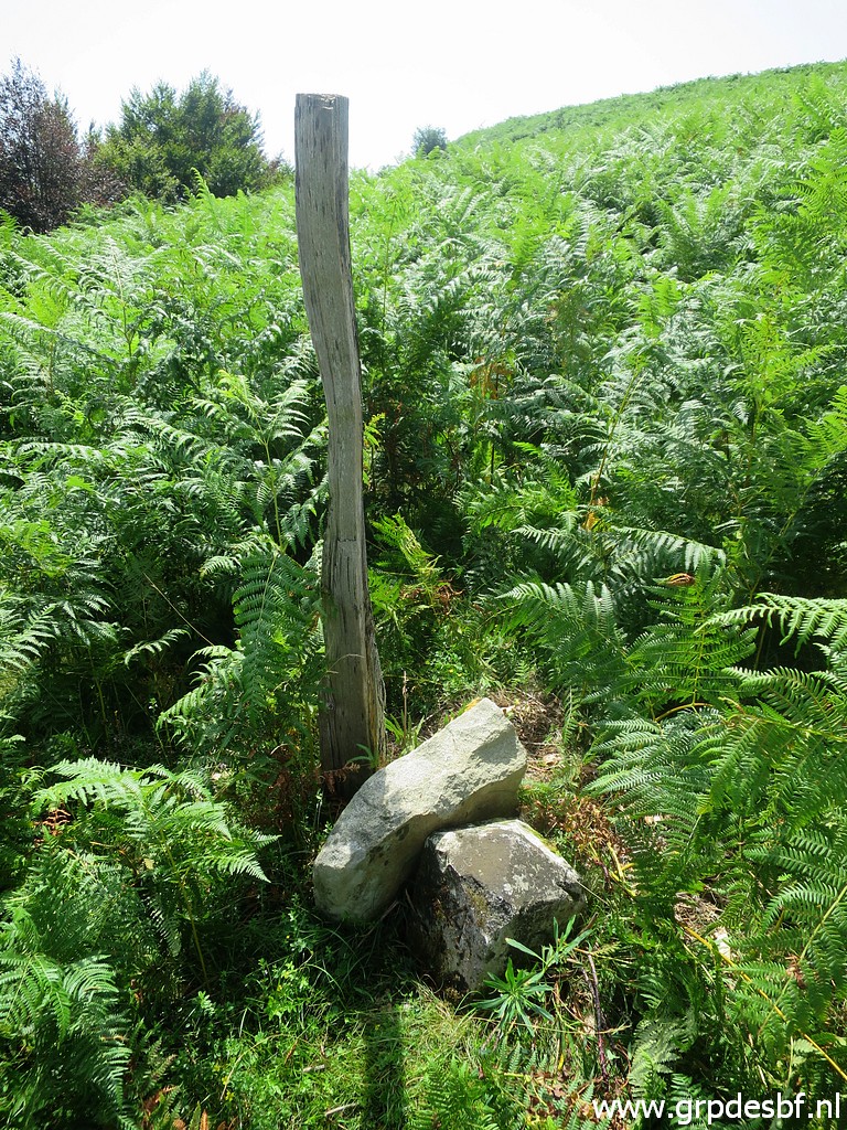
 | Bm044L
original spot (walking stick). This ± 20m NW of bm045. For some reason
this intermediate marker is lying now besides bm044J. The submarkers bm044a to bm044l were placed in 1988 to give a more precise delimitation. Apparently there was a dispute about the correct delimitation between bm044 and 045. The treaty involved can be found in this pdf-document including a table with the intermediate distances. (click photo to enlarge) |
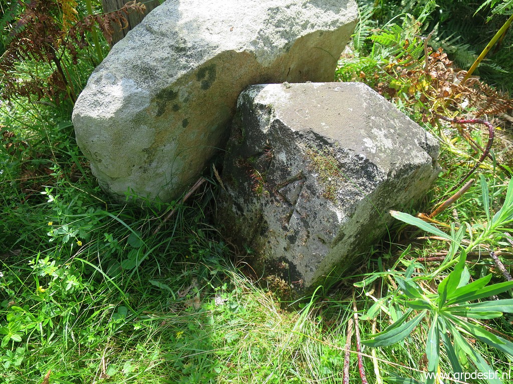
 | Bm044L original spot, bm045 in the background. (click photo to enlarge) |
 | Bm044K (click photo to enlarge) |
 | Bm044K (click photo to enlarge) |
 | Bm044J with Bm044L (click photo to enlarge) |
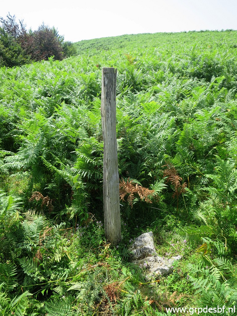
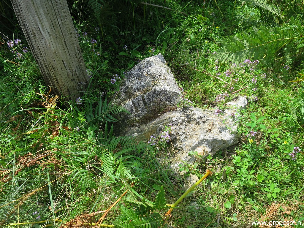
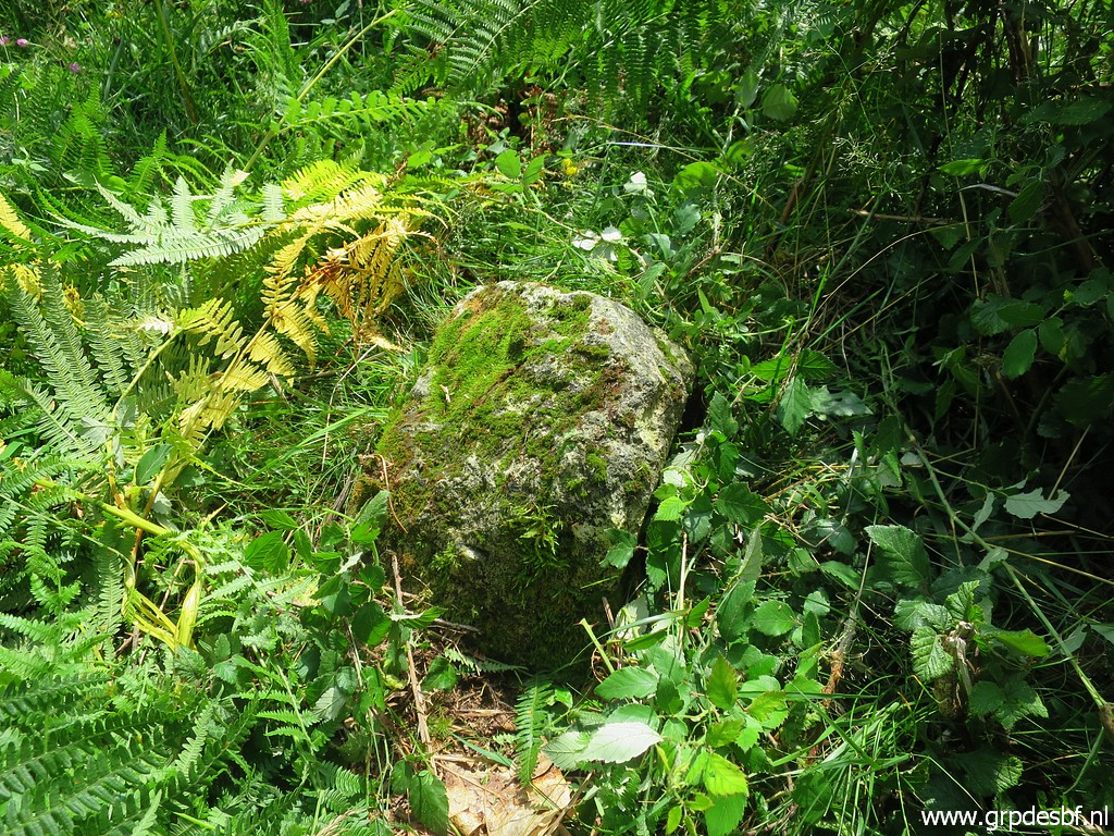
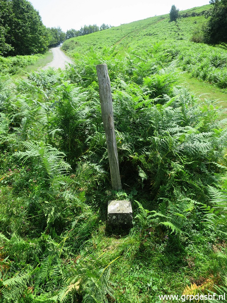
 | Bm044I Easy to find with help of the post besides it. (click photo to enlarge) |
 | Bm044I (click photo to enlarge) |
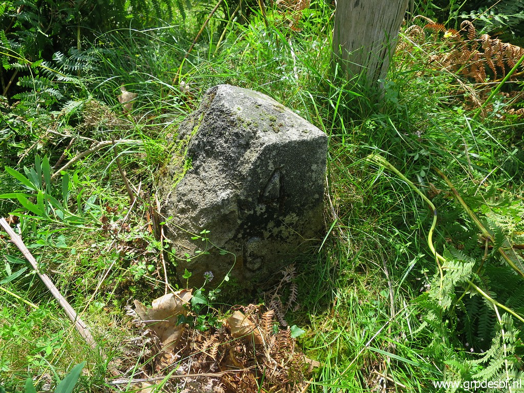
 | Bm044H (click photo to enlarge) |
 | Bm044H (click photo to enlarge) |
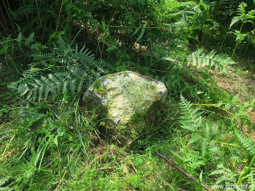
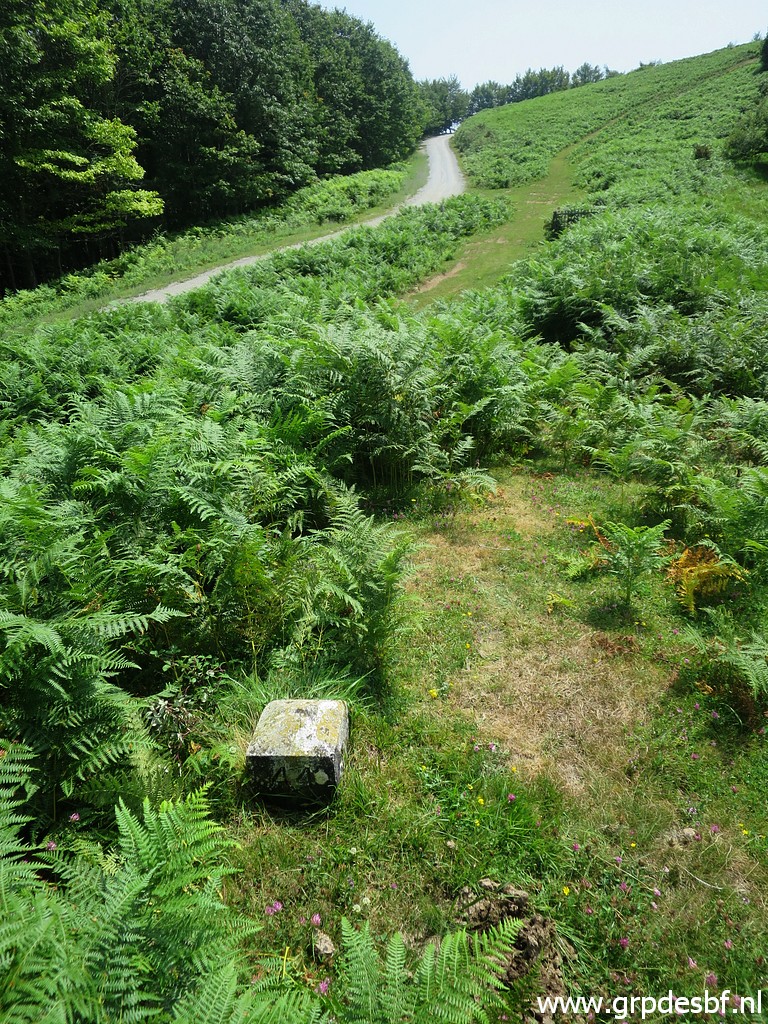
 | Bm044G (click photo to enlarge) |
 | Bm044G A lot of these intermediate markers are damaged now. Compare them with our last inspection on 24-5-2014. (click photo to enlarge) |
 | Bm044F (click photo to enlarge) |
 | Bm044F (click photo to enlarge) |
 | Bm044E (click photo to enlarge) |
 | Bm044E (click photo to enlarge) |
 | Bm044D (click photo to enlarge) |
 | Bm044D (click photo to enlarge) |
 | Bm044C (click photo to enlarge) |
 | Bm044C (click photo to enlarge) |
 | Bm044B (click photo to enlarge) |
 | Bm044B (click photo to enlarge) |
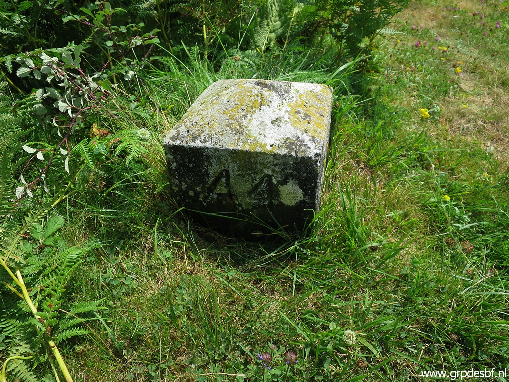
 | Bm044A (click photo to enlarge) |
 | Bm044A (click photo to enlarge) |
 | Bm044A The last one of today. Back to the camping (click photo to enlarge) |
 | where it is even hotter. So we adjusted our dinner suits a bit... (click photo to enlarge) |