|
The
bordermarkers of the Pyrenees : all my trips
 |
|
| -
monday 13 september
2021 - Redoing bm320 |
 |
 |
Summary:
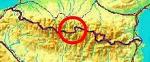
part of a series of 11 daytrips in september 2021 in the western half
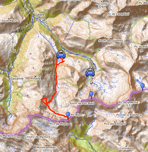
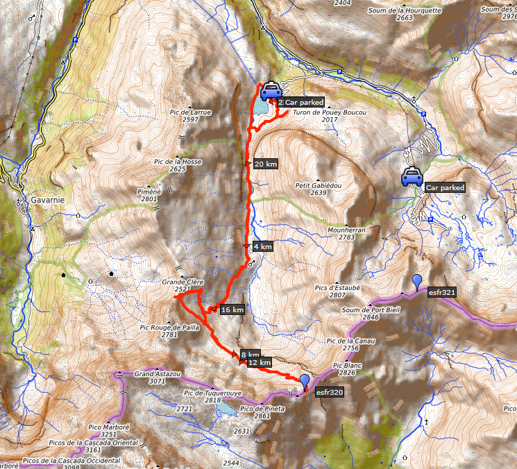
of the Pyrenees. This is day 6. Today: from Lac des Gloriettes revisiting bm320 at Port Neuf de Pinède and checking the routes to it. Why? I want to have 'done' every bordermarker at least twice. I visited bm321 for the first time on 28-8-2010. Weather: cloudy/sunny Basecamp: camping La Hounta in Luz-St-Sauveur. |
 track-20210913.kml
(click to open this trip in Google Earth or copy link to Google Maps; click right on this link to download gpx-version). The gps-track has not been manually corrected which explains the inaccuracy and misalignment at some points. For cartographic backgrounds: see the cartography-page Gps-waypoints of all bordermarkers (most recent version): kml: esfr-bordermarkers-all-waypoints.kml gpx: esfr-bordermarkers-all-waypoints.gpx (with elevation added by gpsvisualizer.com) |
|
 |
According to Garmin
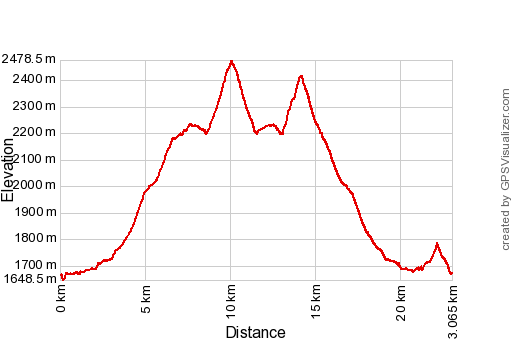
Basecamp (uncorrected track with elevation added by Gpsvisualizer.com): Distance: 23,1km Max-height: 2478m Min-height: 1648m Elevation: +1622m -1620m Total elevation: 3242m Start 8:00 Finish 17:16 Total time: 9:16 |
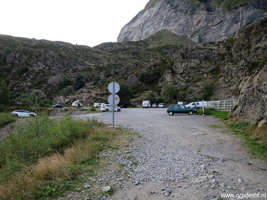 |
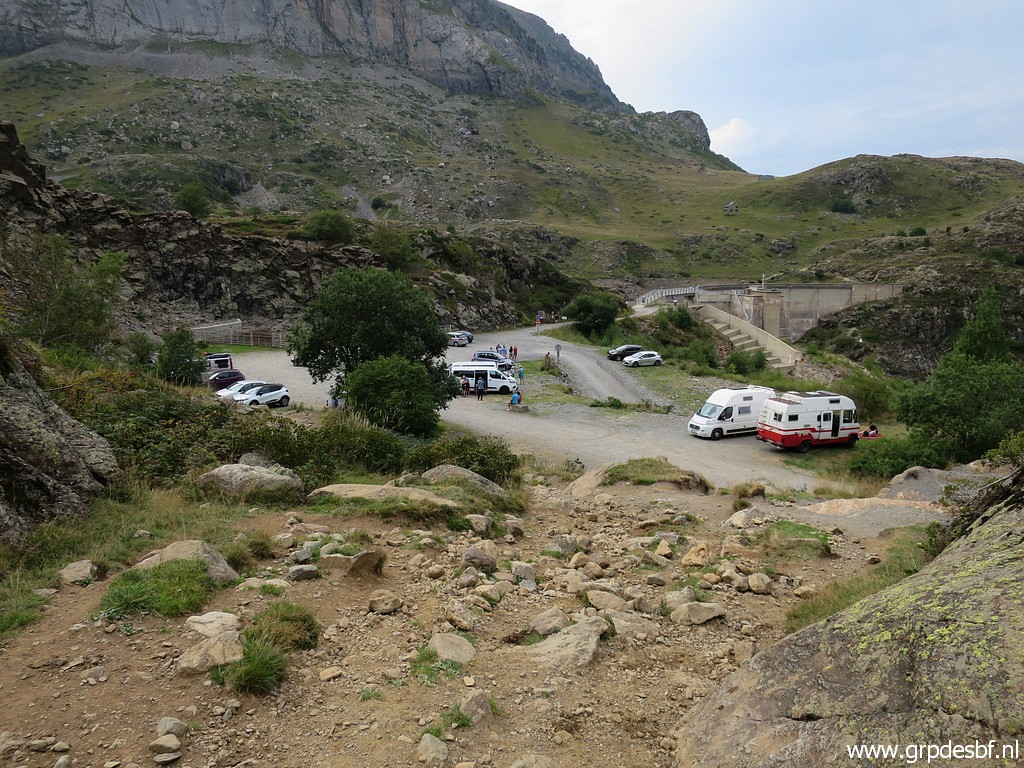
From Luz-St-Sauveur
I drive to this parking, close to Lac des Gloriettes. (click photo to enlarge) |
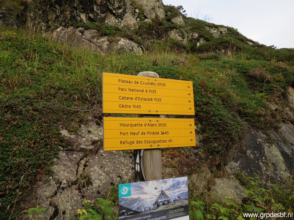 |
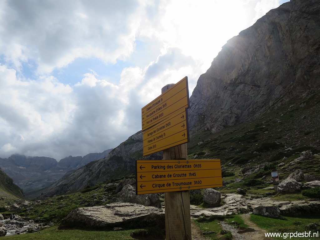
The waysigns tell me
that Port Neuf de Pinède (bm320) is a 3:45h walk. (click photo to enlarge) |
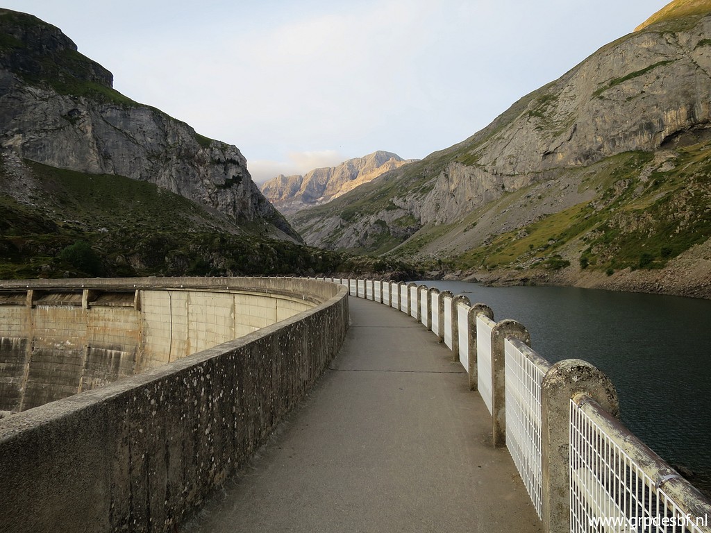 |
The Lac des
Gloriettes is a barrage lake. (click photo to enlarge) |
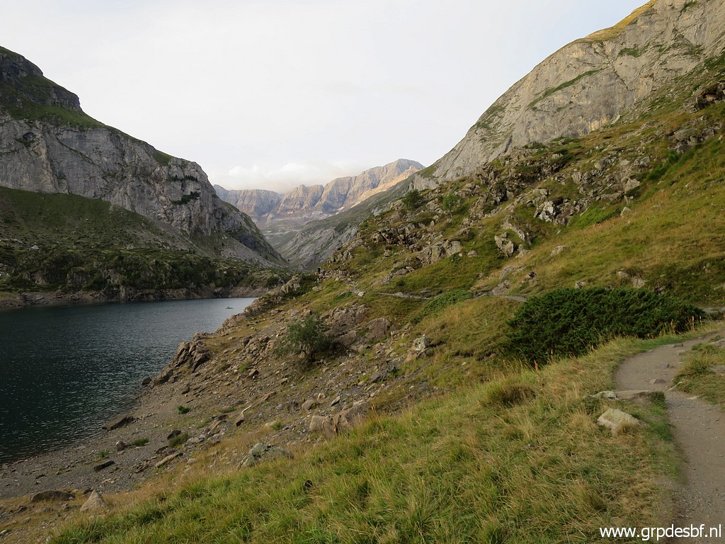 |
Beyond the lake (click photo to enlarge) |
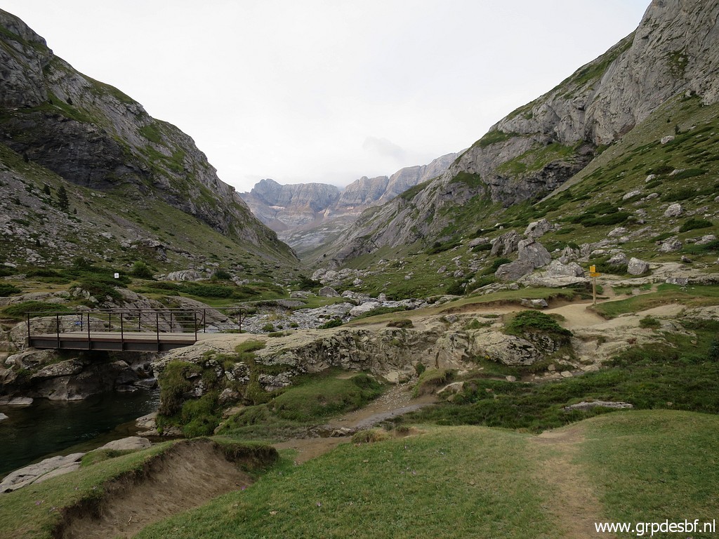 |
the trail passes
this bridge. That connects also to the parking. (click photo to enlarge) |
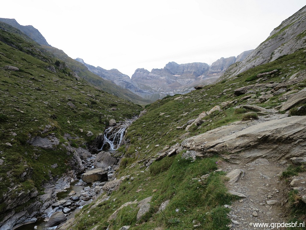 |
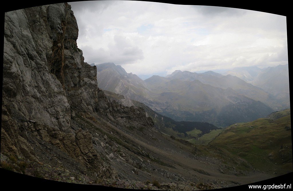
Gradually climbing
with in the far distance (click photo to enlarge) |
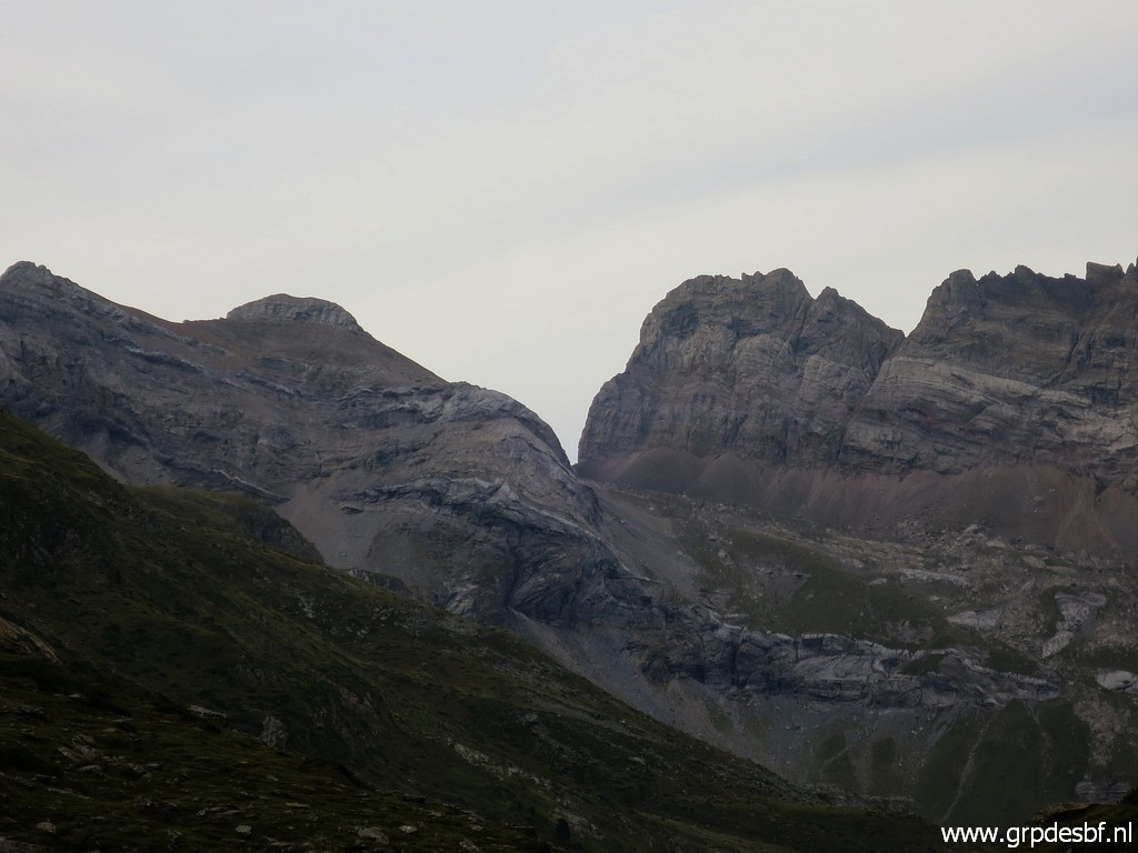 |
already - zoom-in -
Port Neuf de Pinède in sight. (click photo to enlarge) |
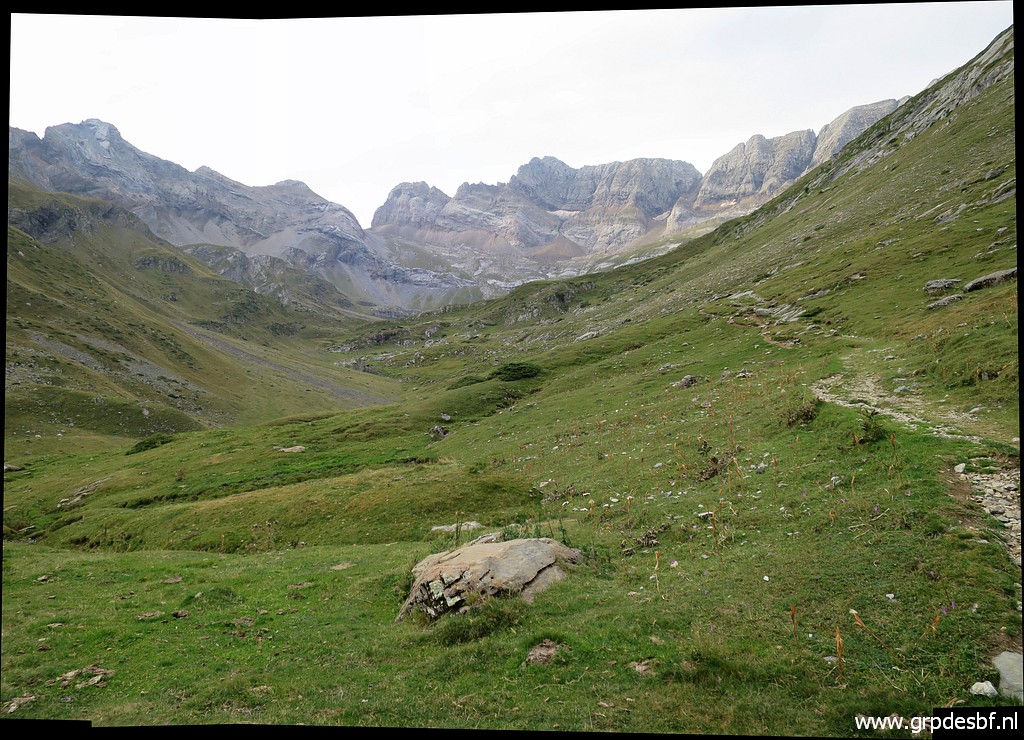 |
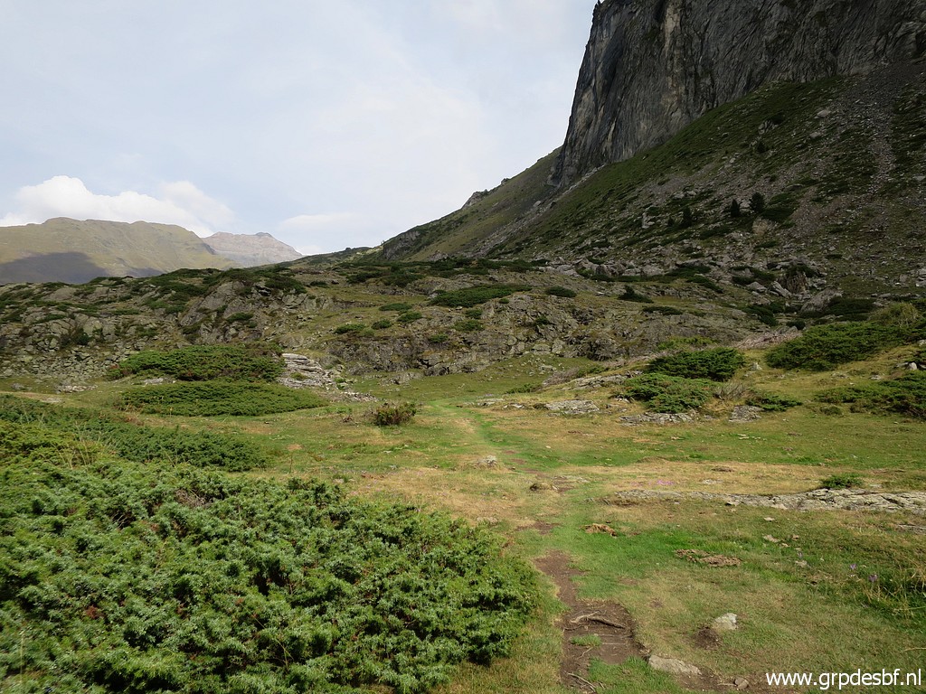
Progress is easy. (click photo to enlarge) |
 |
At this point, you
have to go right and start climbing towards Hourquette d'Alans. (click photo to enlarge) |
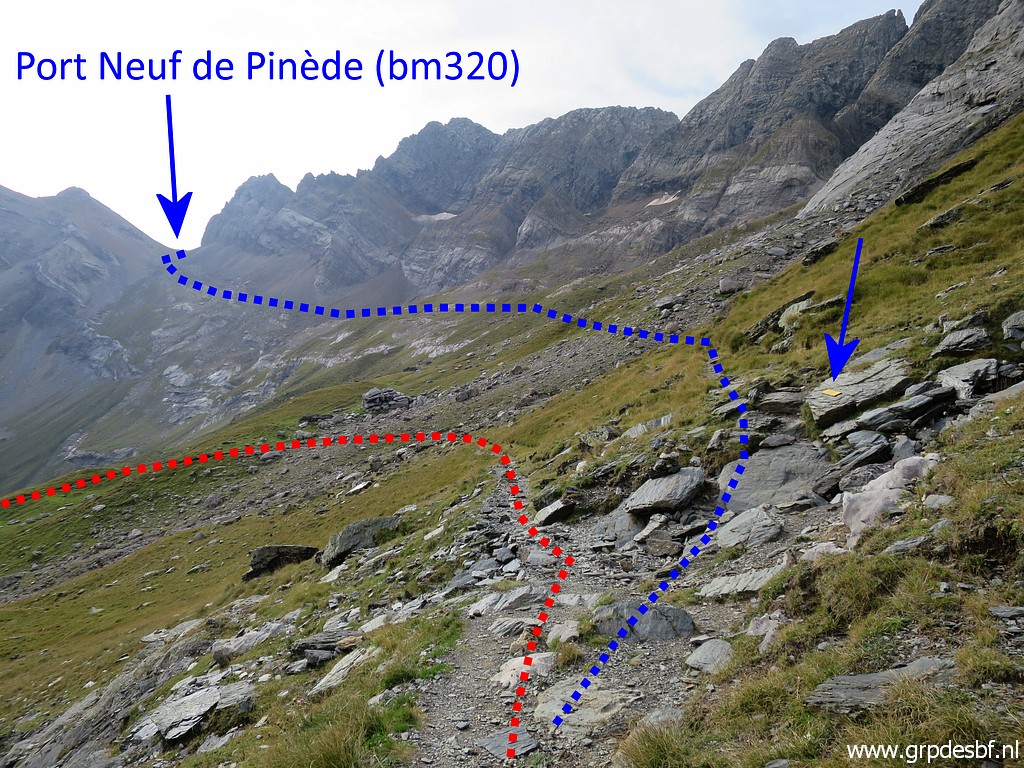 |
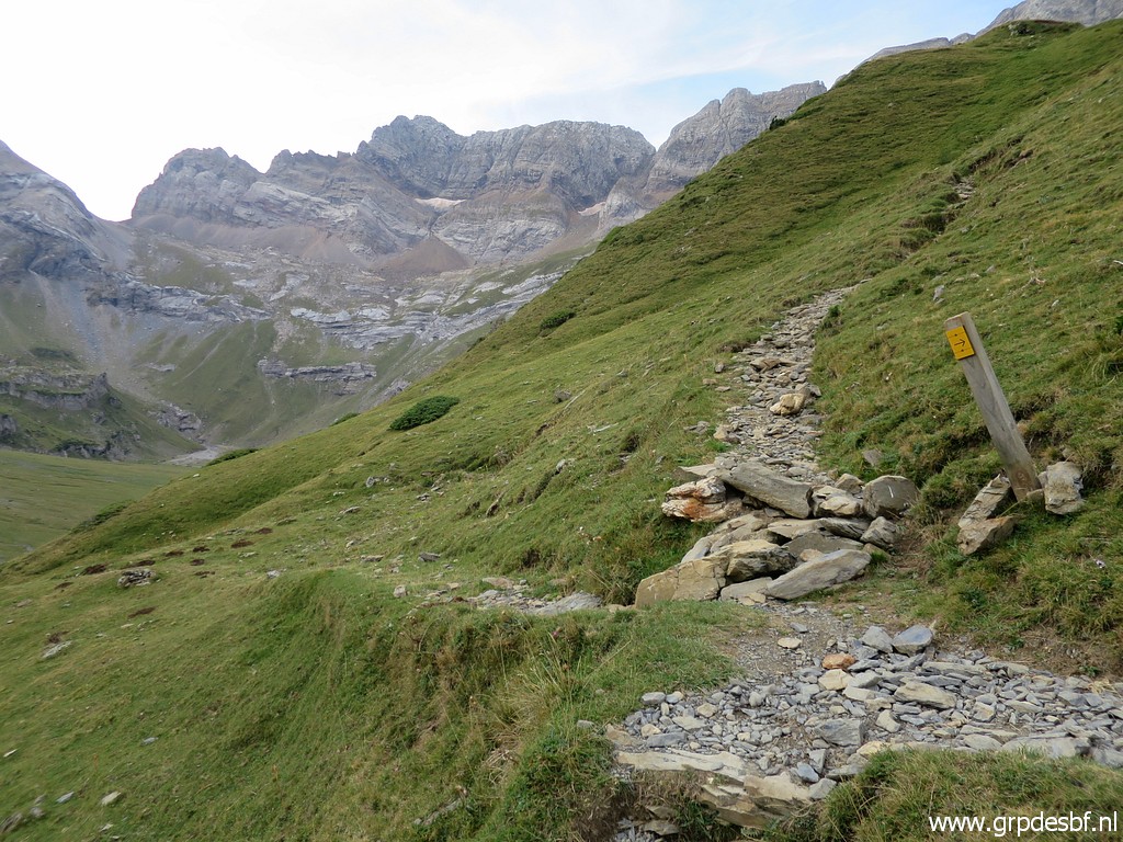
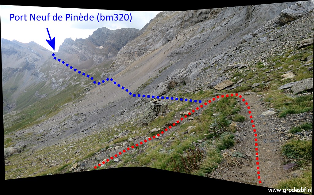
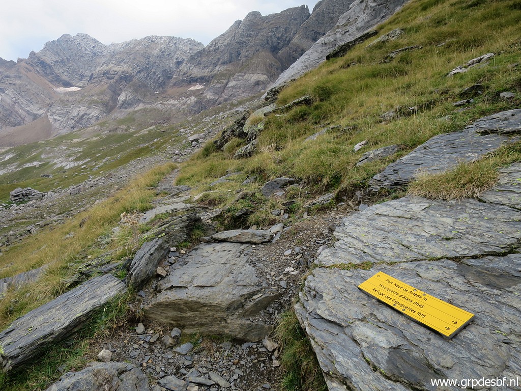
On a higher level I
pass this bifork. The red route is where I come from and which climbs to the mountain pass of Hourquette d'Alans. (click photo to enlarge) The blue arrow points to |
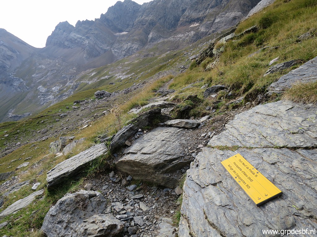 |
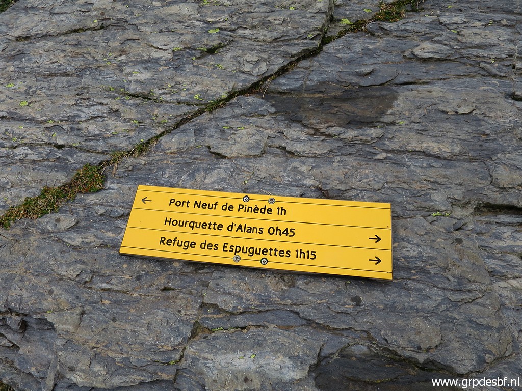
this waysign. (click photo to enlarge) |
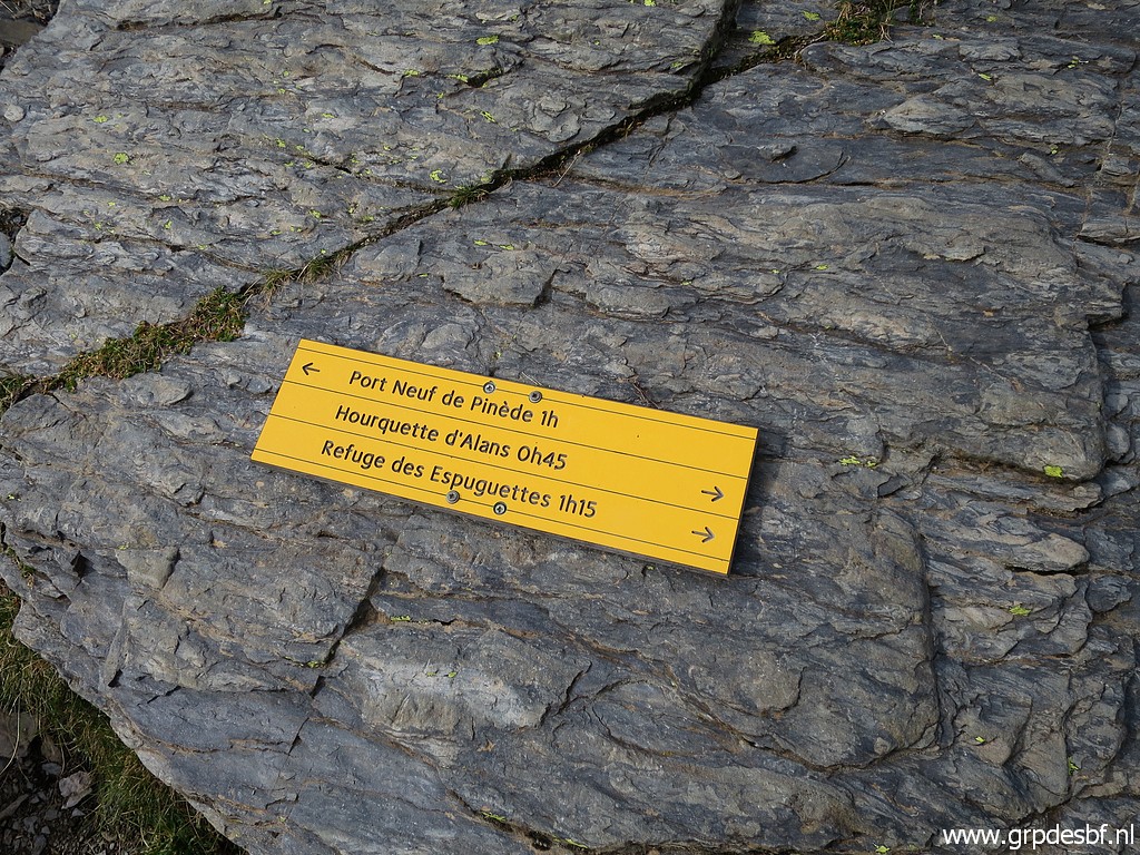 |
Still one hour to go
to bm320. (click photo to enlarge) |
 |
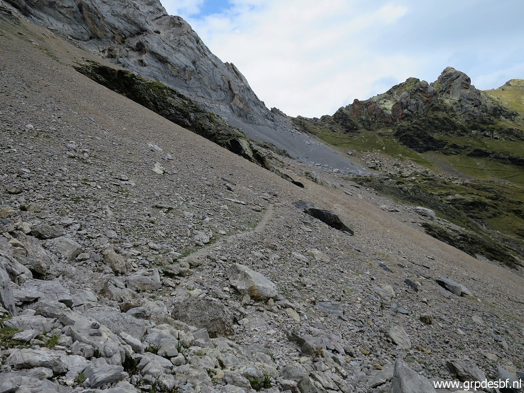
The trail is
distinct and (click photo to enlarge) |
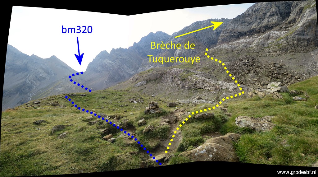 |
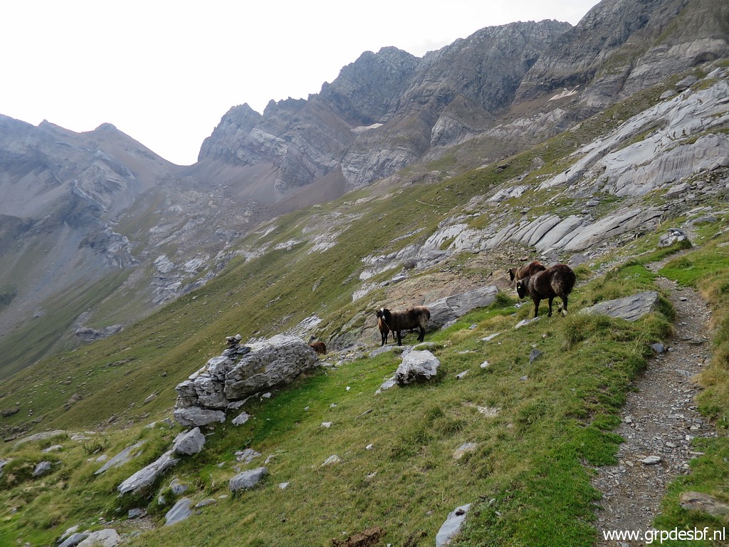
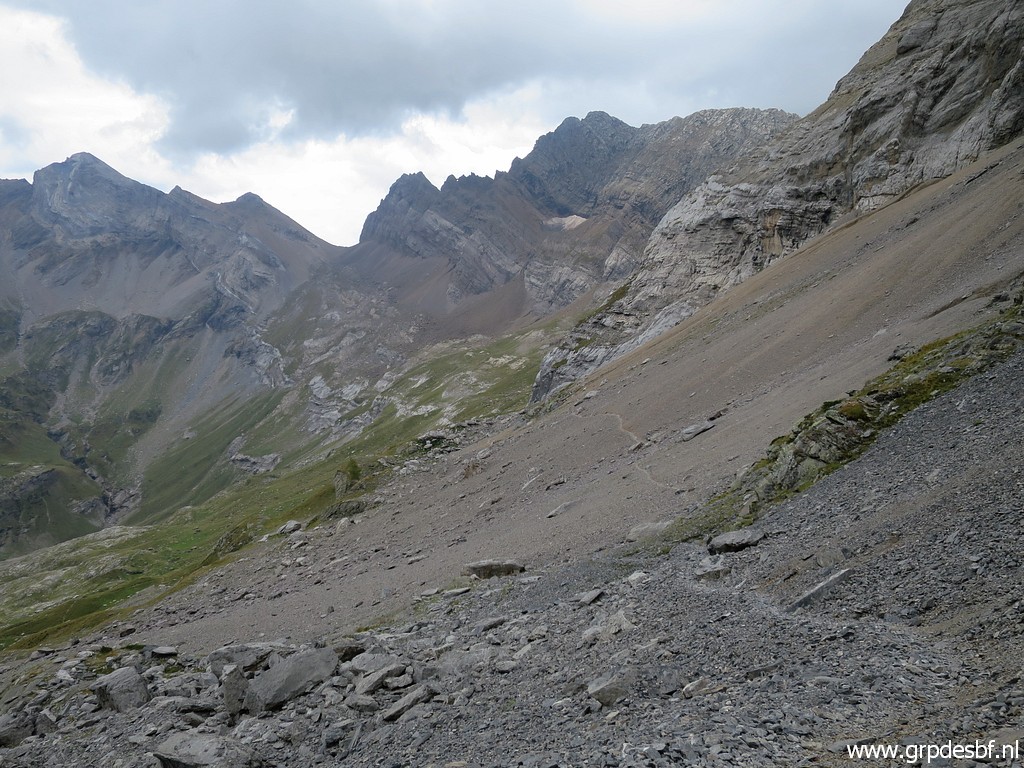
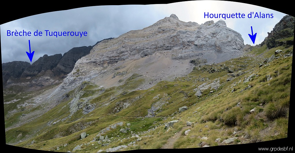
the direction is
clear. This picture: this is a bifork, the yellow route clims to Brèche de Tuquerouye with its refuge. (click photo to enlarge) |
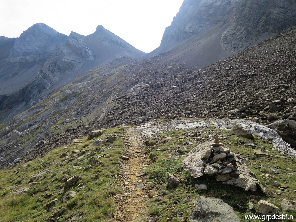 |
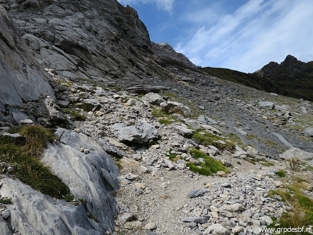
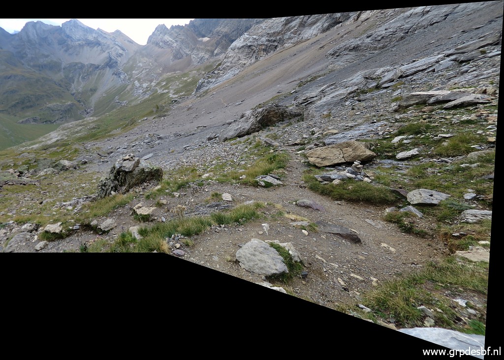
Continuing to Port
Neuf de Pinède, (click photo to enlarge) |
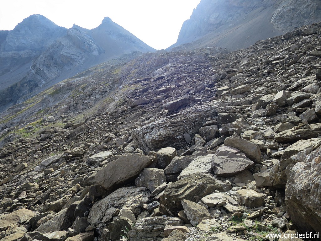 |
crossing a rockfall (click photo to enlarge) |
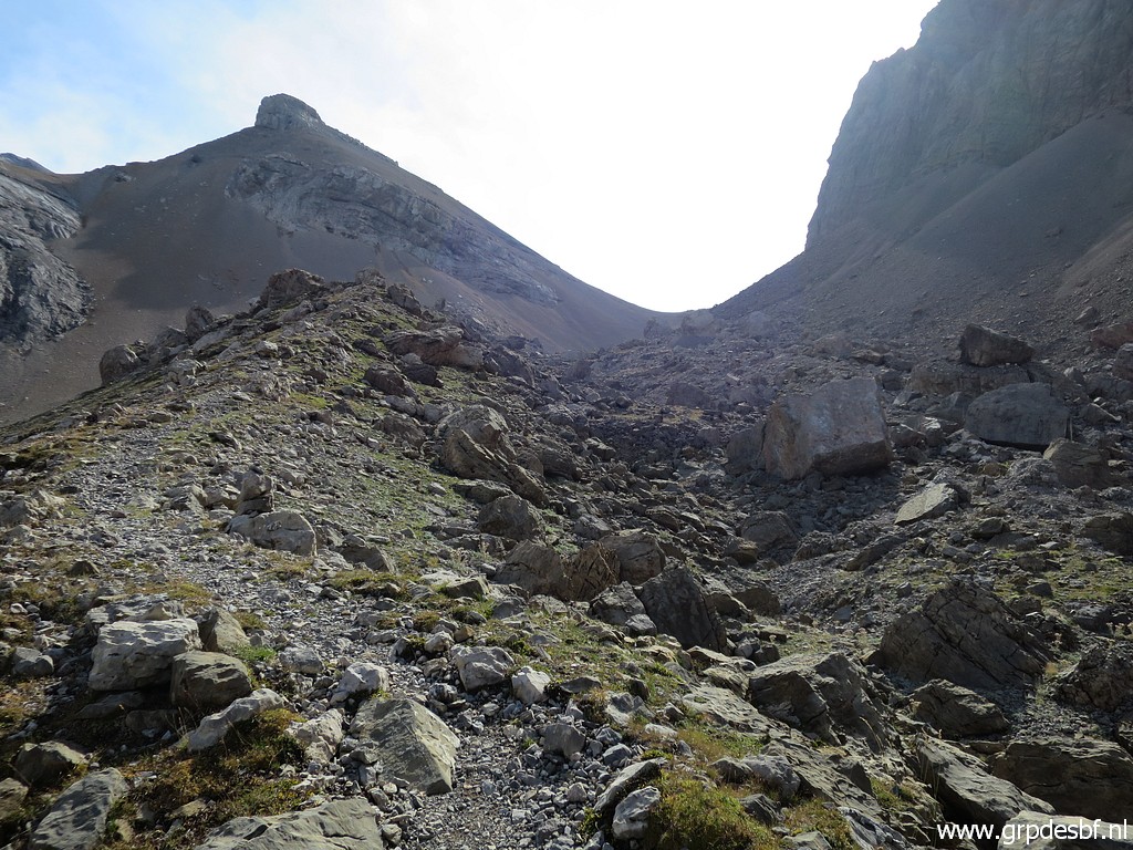 |
to the last part (click photo to enlarge) |
 |
of the trail to the
Port. (click photo to enlarge) |
 |
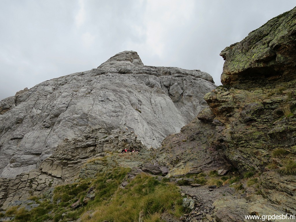
Arriving at the Port. (click photo to enlarge) |
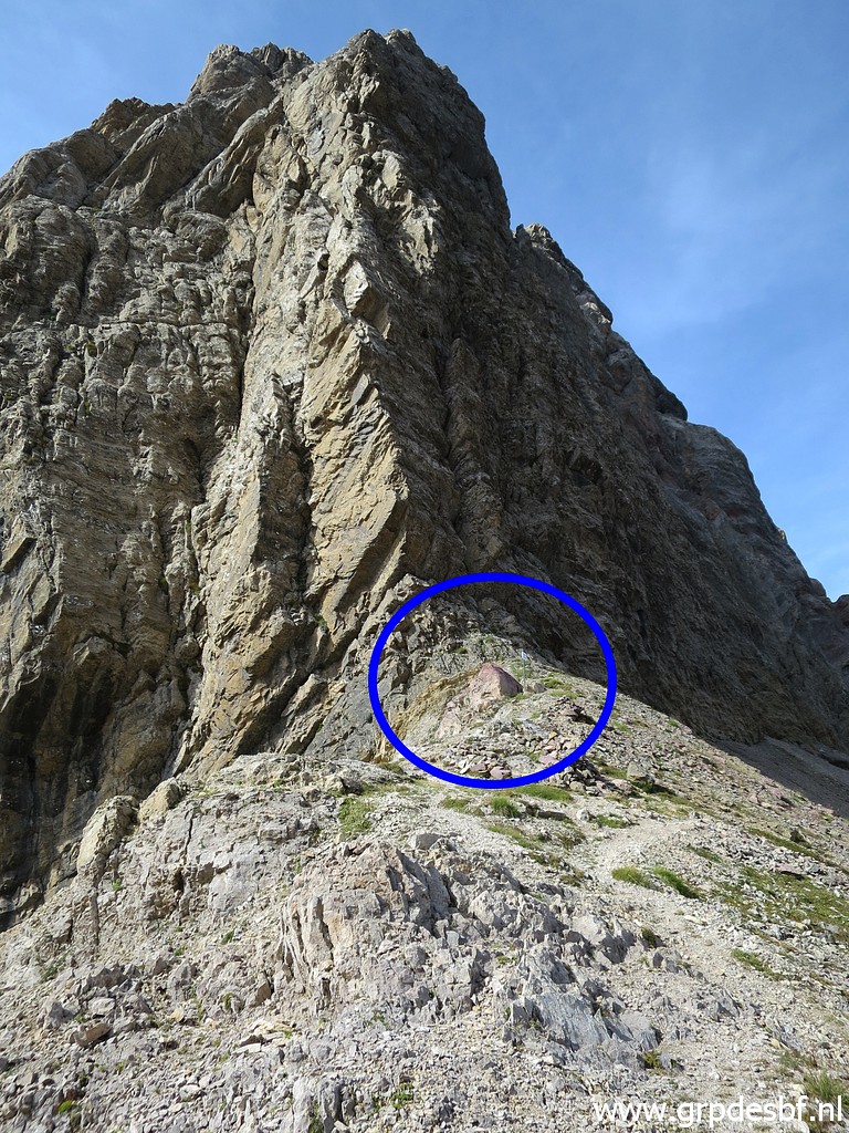 |
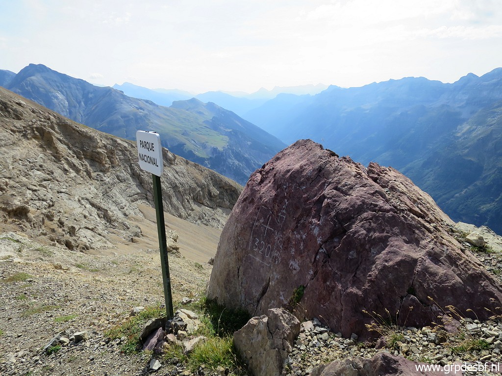
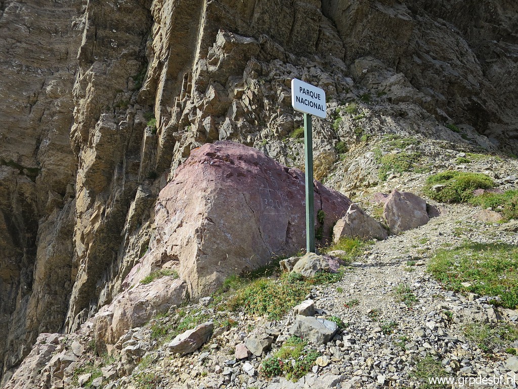
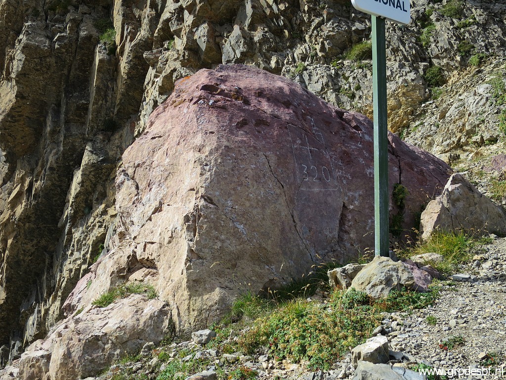
Bm320 is at
west-side of the pass. (click photo to enlarge) |
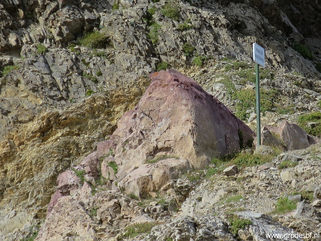 |
And well engraved at
this rock. (click photo to enlarge) |
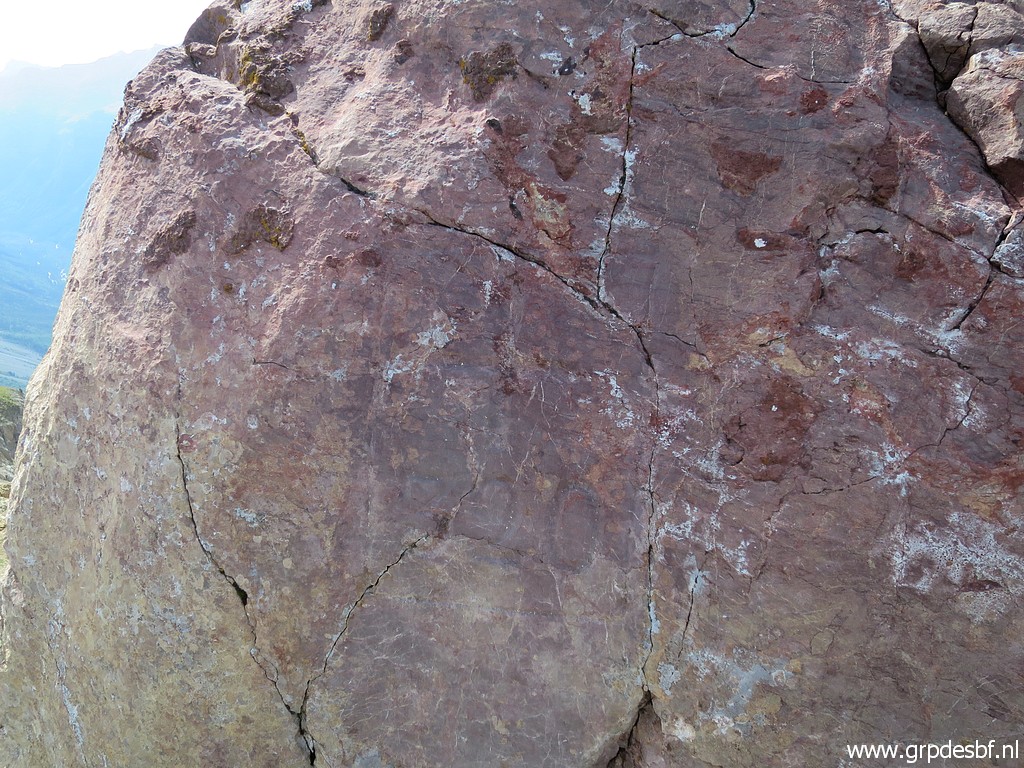 |
I remember that from
my previous visit but it takes some time to discern the engravings. (click photo to enlarge) |
 |
After some chalking,
I can start making my pictures. (click photo to enlarge) |
 |
Looking into Spain. (click photo to enlarge) |
 |
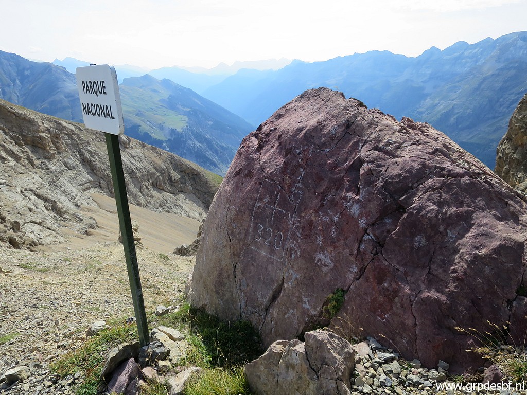
Bm320 (click photo to enlarge) |
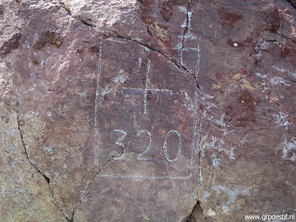 |
Bm320 (click photo to enlarge) |
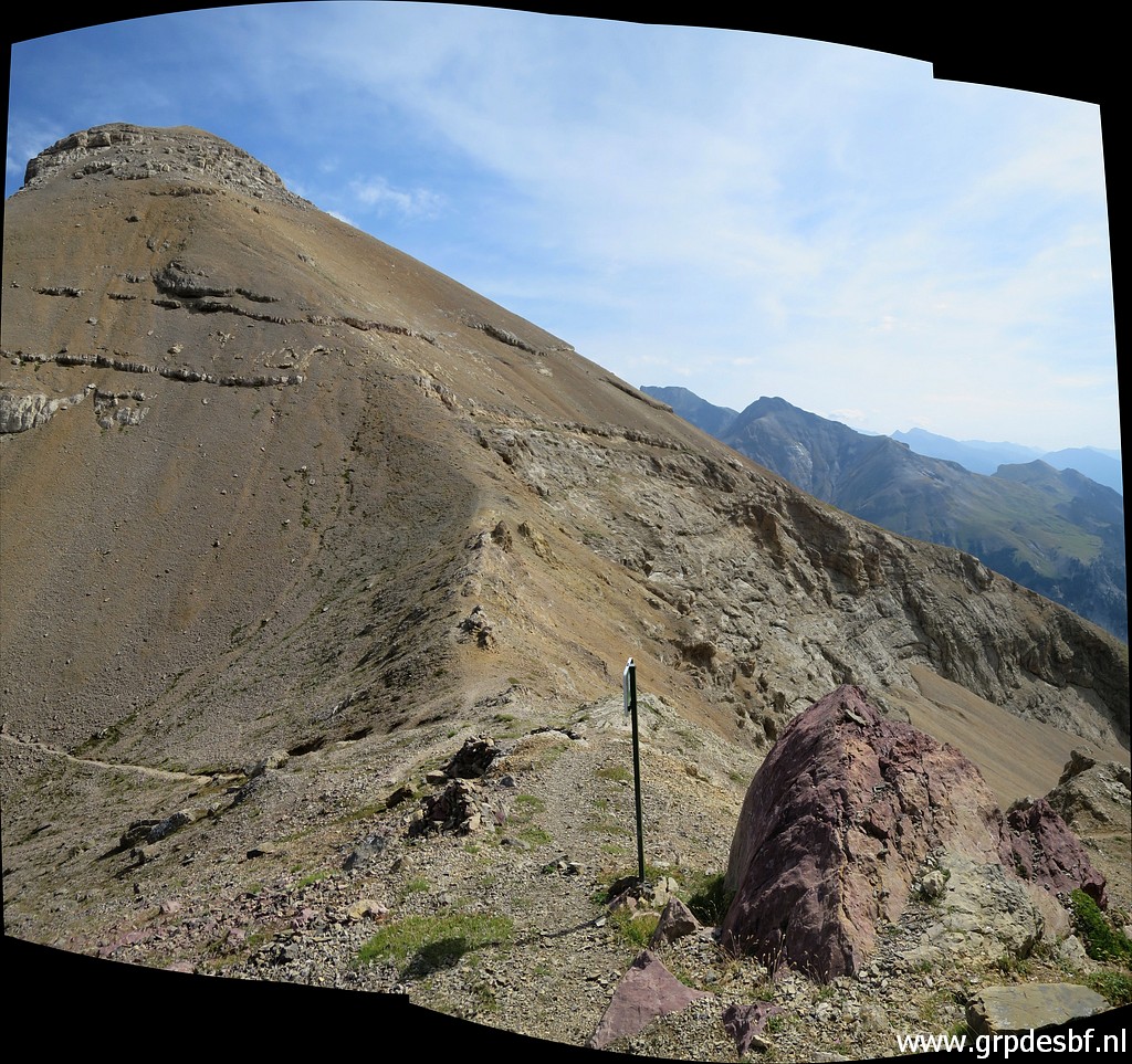 |
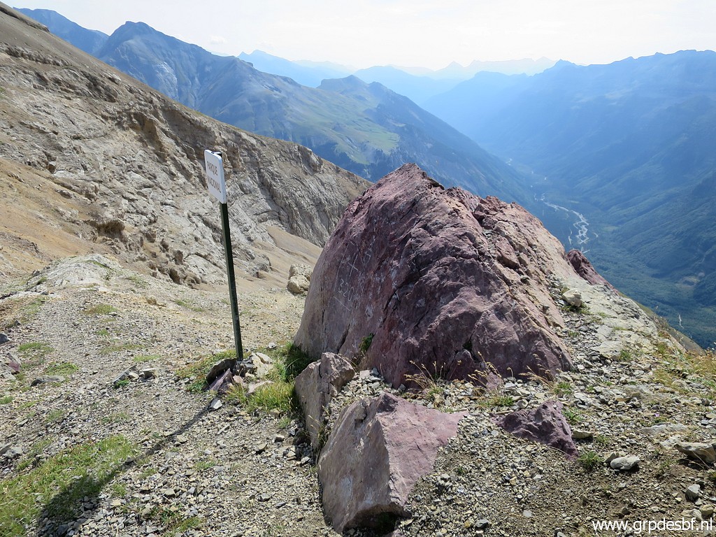
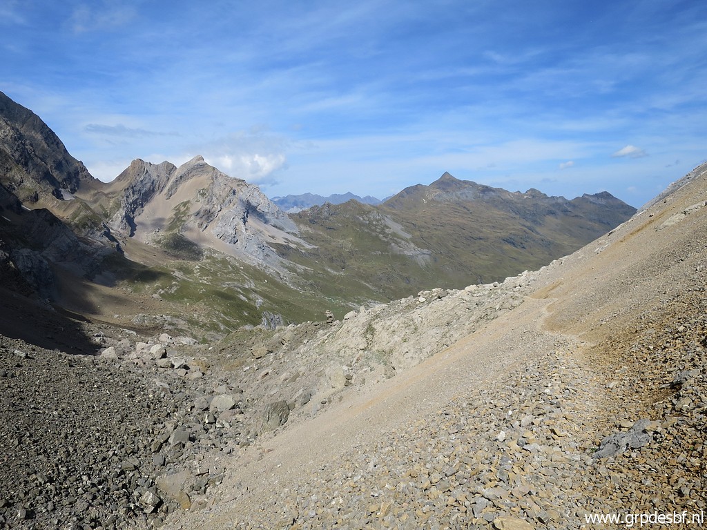
View of the entire
pass. (click photo to enlarge) |
 |
Bm320 (click photo to enlarge) |
 |
Bm320 (click photo to enlarge) |
 |
Bm320 (click photo to enlarge) |
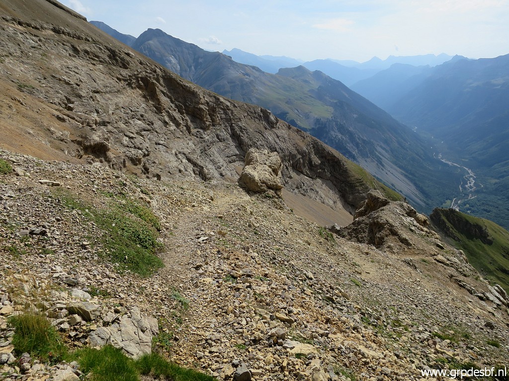 |
I descend a little
bit into Spain to have a look at the trail which descends quite steeply
and is at some parts slippery. It's a descent of about 1000 meters before you reach a dirtroad. I did that on 28-8-2010. (click photo to enlarge) |
The
connection between bm320 and 321 on the Spanish side was originally
part of my main GRPdesBF-route.
The same for the route between bm322 and 325.
But in 2000 I changed my mind, designing another main route (that is
the red one on the map). That results in a more smooth main route,
leaving the
high altitude and non-waymarked trails to the variants. In this case
bm320 becomes a hence & forth variant from the main route as will
be the case for bm321.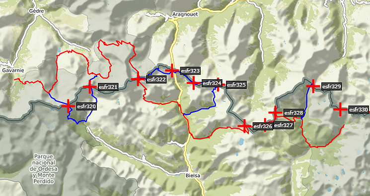 |
|
 |
Returning (click photo to enlarge) |
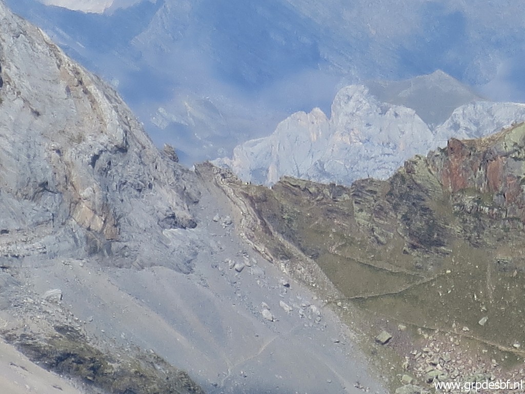 |
Zoom-in to
Hourquette d'Alans, my next target. At Hourquette d'Alans, you arrive from the valley of Gavarnie. From there my main GRPdesBF-route descends towards Lac des Gloriettes. As said before, doing bm320 will be a variant hence and forth. But descending from the Hourquette, there are 2 access routes towards bm320, both branching off the main trail. They join further on. (click photo to enlarge) |
 |
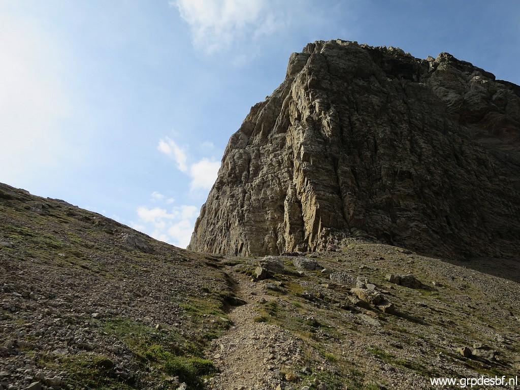
There is a more
direct route, starting not far below Hourquette d'Alans. I'm going to check that route (in the opposite way) so towards the Hourquette. This picture: this is about where the direct route starts climbing the hillside towards Hourquette d'Alans. There are cairns and trails to guide you but not much. (click photo to enlarge) |
 |
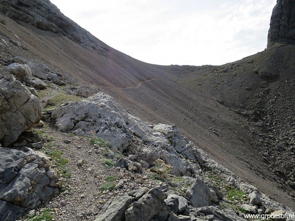
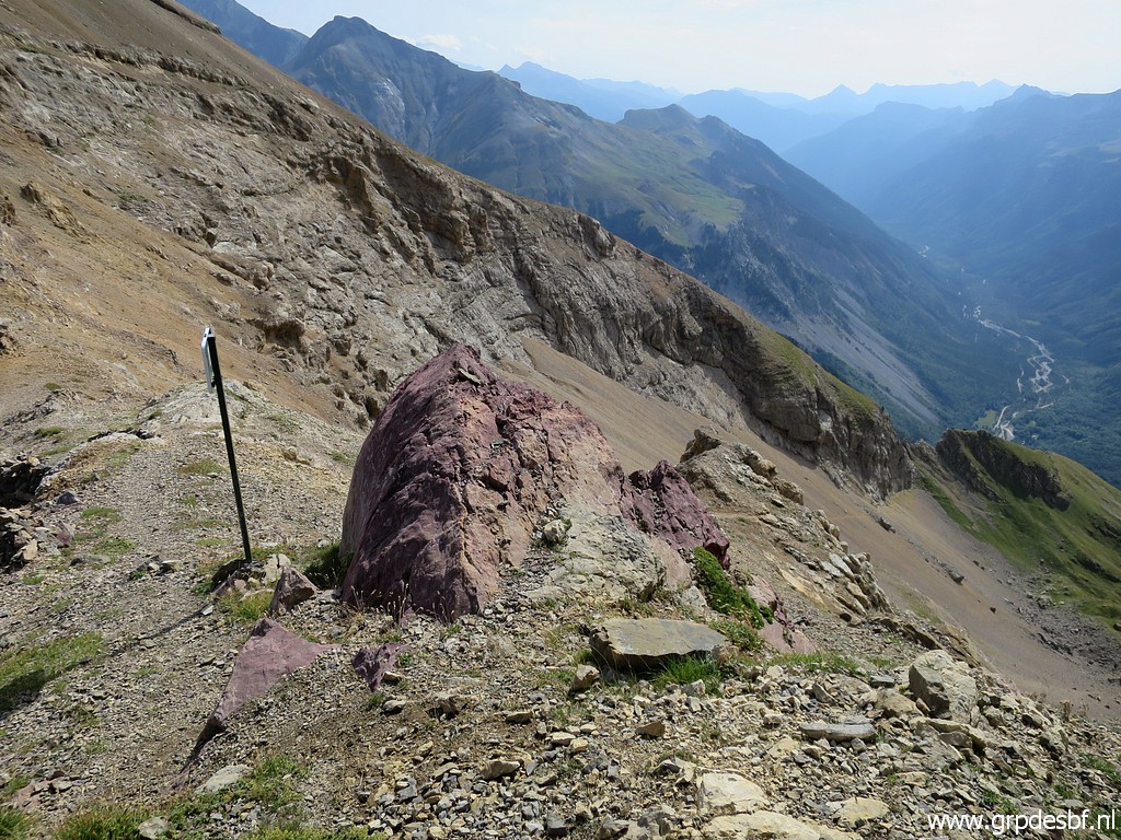
On my way, looking
back to Port Neuf de Pinède. (click photo to enlarge) |
 |
Looking forward to
Hourquette d'Alans. (click photo to enlarge) |
 |
And another view
back. (click photo to enlarge) |
 |
At this point I have
reached the main zigzagging trail to the Hourquette (looking back). (click photo to enlarge) |
 |
Almost at Hourquette
d'Alans. (click photo to enlarge) |
 |
From the Hourquette
a view into the valley of Gavernie. (click photo to enlarge) |
 |
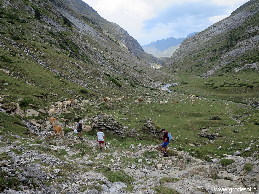
A group of French
daytrippers are enjoying their lunch in the French way: including a
glass of wine. (click photo to enlarge) |
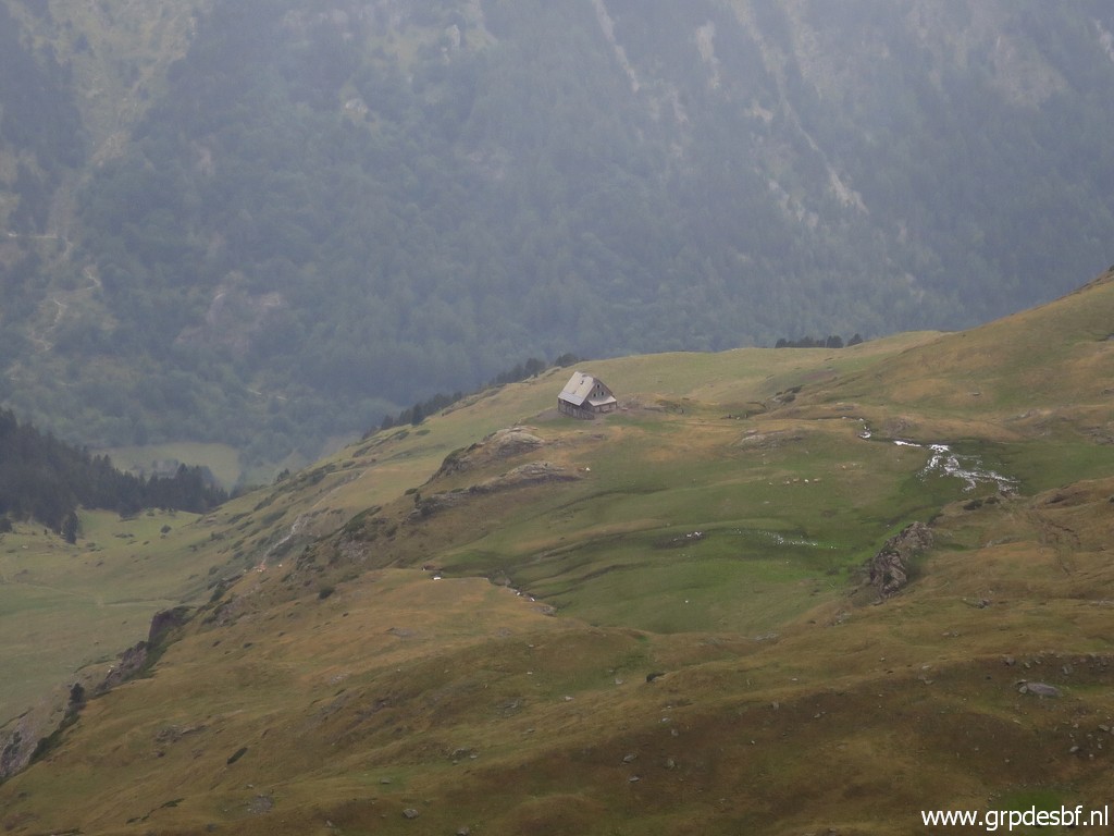 |
Zoom-in to the
Refuge des Espuguettes. (click photo to enlarge) |
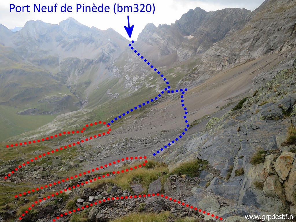 |
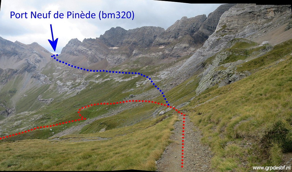
I return and descend
on the winding main trail. This picture shows both branches towards bm320. (click photo to enlarge) |
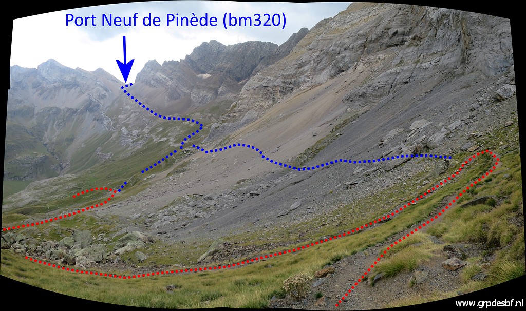 |
And this is another
view of the two possibilites. (click photo to enlarge) |
 |
This is where the
first branch starts. (click photo to enlarge) |
 |
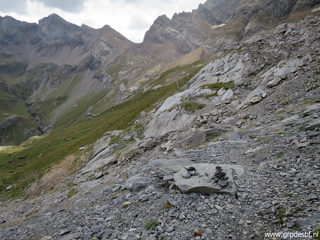
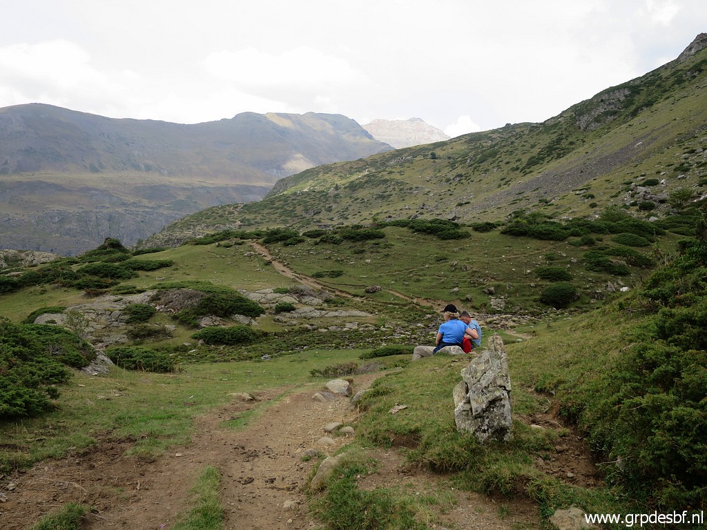
I descend further, a
panorama in between. (click photo to enlarge) |
 |
Approaching the
second branch. (click photo to enlarge) |
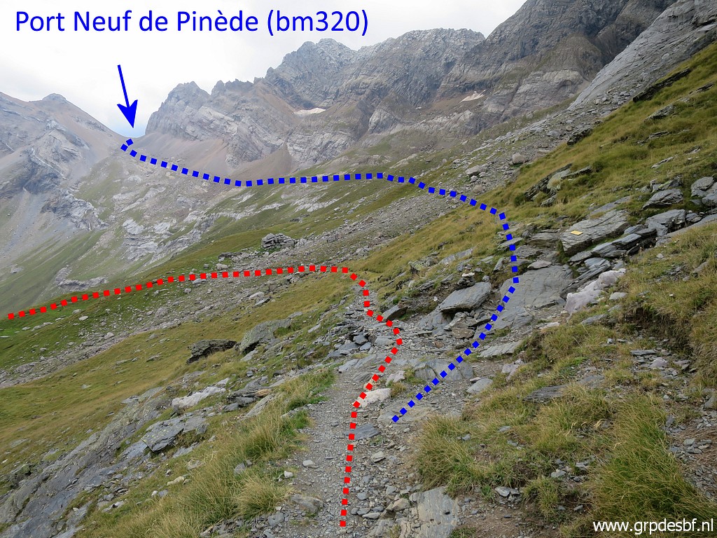 |
And this is the
bifork where the second branch starts (click photo to enlarge) |
 |
with its (click photo to enlarge) |
 |
waysign. My conclusion: this (second) branch is the best one. There is a waysign where it starts and overall progress is a lot easier. From here you should go hence & forth to Port Neuf de Pinède, taking you approximately 2 hours in total. (click photo to enlarge) |
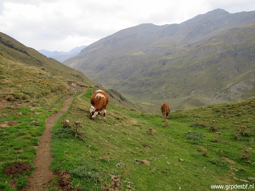 |
Quietly I continue (click photo to enlarge) |
 |
down the valley. (click photo to enlarge) |
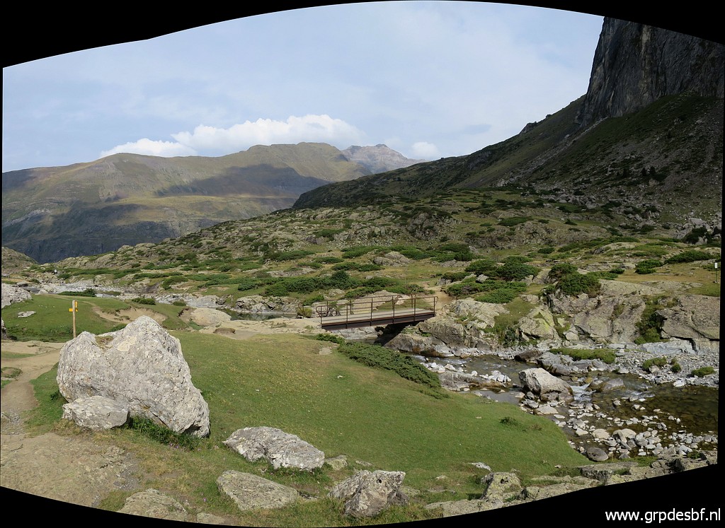 |
Back at the bridge
which I showed you already in the beginning. You have to cross the bridge for the connection to Cirque de Troumouse. Yesterday I checked the other side of that connection. (click photo to enlarge) |
 |
It's still 3:30h to
the Cirque de Troumouse which seems exaggerated. The distance is ± 7,5km and that can be done in less than 2:30h, I estimate. (click photo to enlarge) |
 |
Anyway, beyond the
bridge the trail gets vague but if you go more or less straight on, (click photo to enlarge) |
 |
the trail becomes
distinct again (click photo to enlarge) |
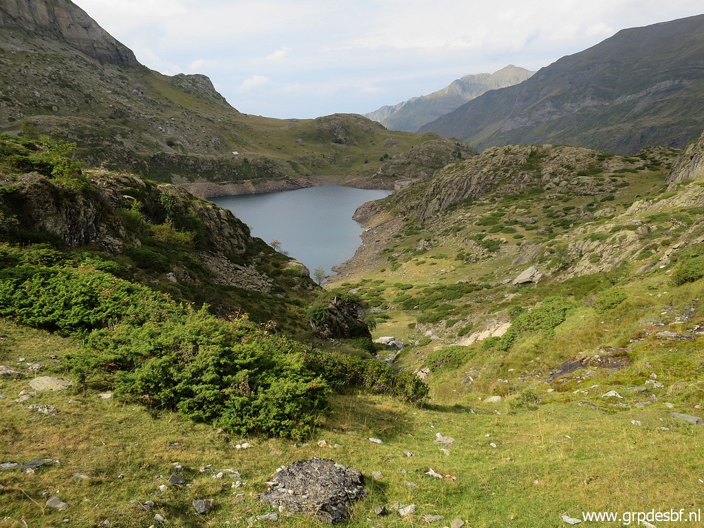 |
with a view to the
left to Lac des Gloriettes. (click photo to enlarge) |
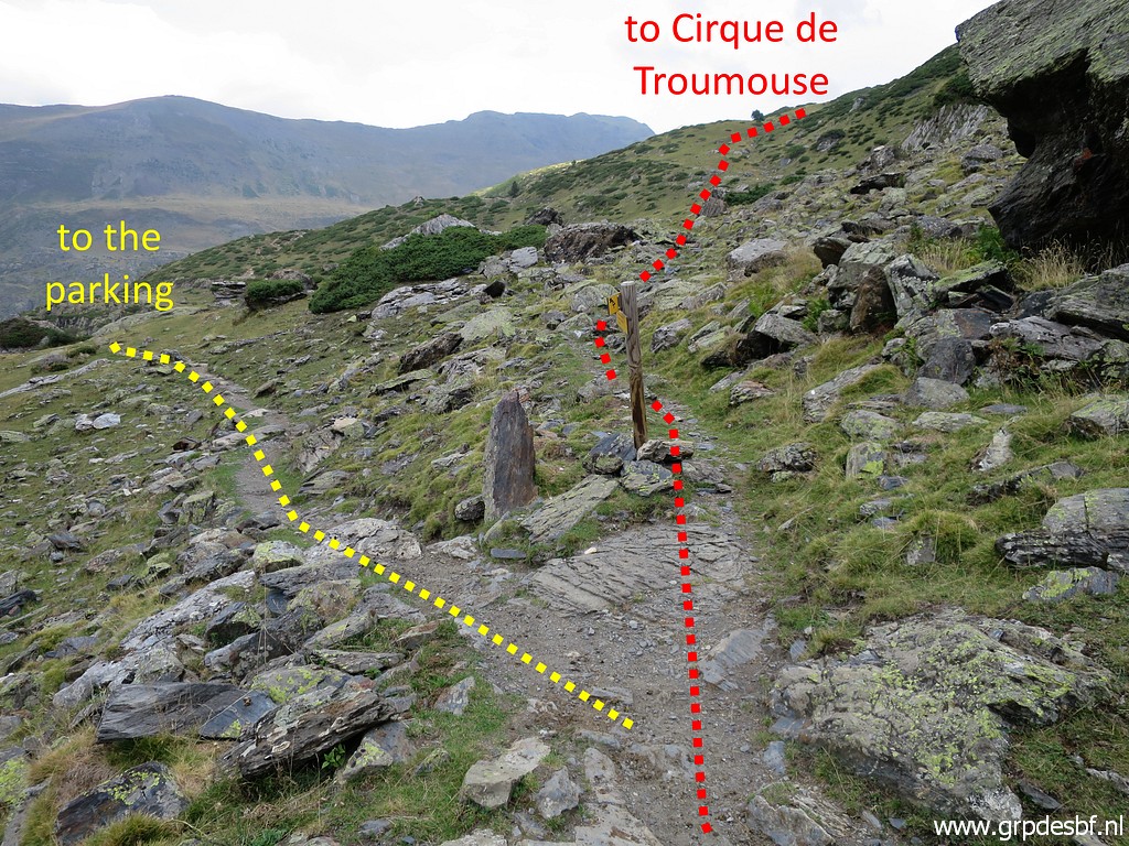 |
Bifork, left to the
parking, straight on to Cirque de Troumouse. (click photo to enlarge) |
 |
Another waysign at
this point. (click photo to enlarge) |
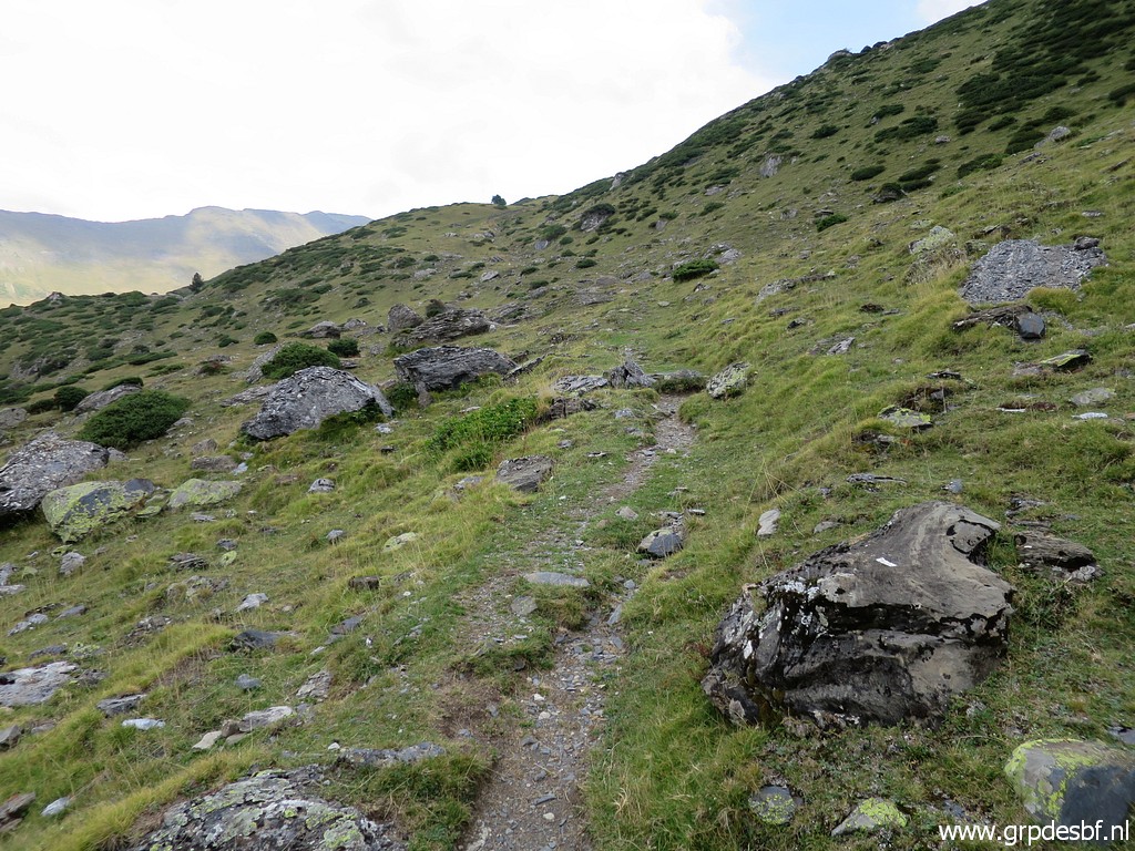 |
I continue along the
trail to Cirque de Troumouse (click photo to enlarge) |
 |
for a while. In general the trail is clear enough. This picture: this is where I stop. From here it's approximately another 500m to reach a dirtroad which will bring you to the tarmac road which climbs to Cirque de Troumouse. (click photo to enlarge) |
 |
Returning to the
parking. Back to the camping in Luz-St-Sauveur. (click photo to enlarge) The next day I will drive to Lourdes to my favorite Hôtel d'Annecy for a day of rest. My brother-in-law is very ill and I have to decide what to do. But luckily is already a bit recovering when I call him in Lourdes |