|
The
bordermarkers of the Pyrenees : all my trips
 |
|
| -
friday 8 april
2022 - Three inspections with Michel Molia |
 |
 |
Summary:
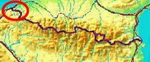
part of a series of 10 daytrips in april 2022 in the Basque country,
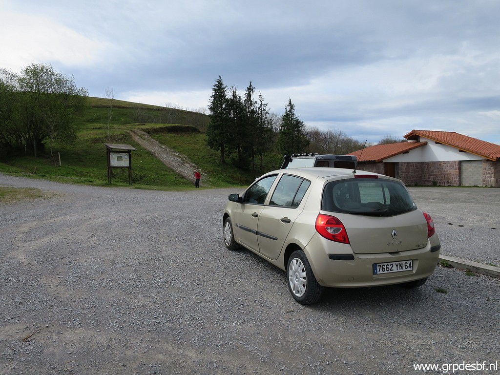
mainly redoing bm085 to 197. This is day 1. Today: with Michel Molia a trip in the Basque country, driving to several spots to do some inspections. Weather: a bit cloudy, a bit sunny. |
 track-20220408.kml
(click to open this trip in Google Earth or copy link to Google Maps; click right on this link to download gpx-version). The gps-track has not been manually corrected which explains the inaccuracy and misalignment at some points. For cartographic backgrounds: see the cartography-page Gps-waypoints of all bordermarkers (most recent version): kml: esfr-bordermarkers-all-waypoints.kml gpx: esfr-bordermarkers-all-waypoints.gpx (with elevation added by gpsvisualizer.com) |
|
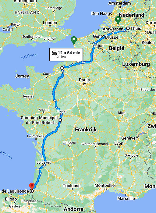 |
In the 2 days before, I drove from Holland to Bayonne. Overnight camping in cold and rainy weather at camping municipal du Parc Robert in Sainte-Maure-de-Touraine. In Bayonne, I will enjoy the hospitality of Michel Molia and his wife for 2 nights. |
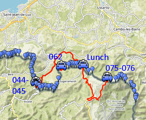
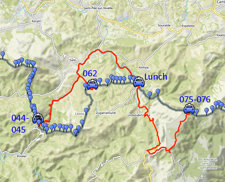
Trip 1 |
|
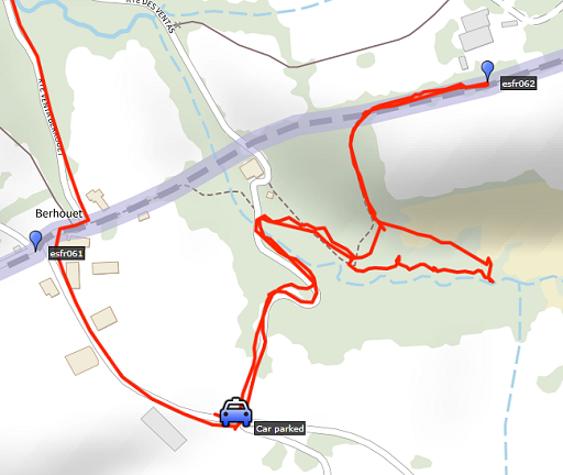 |
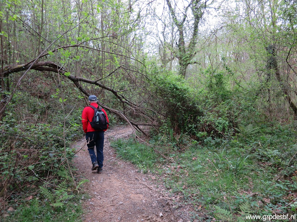
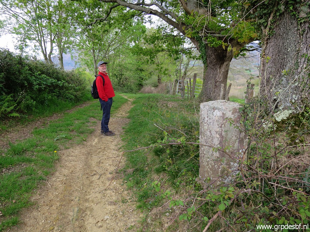
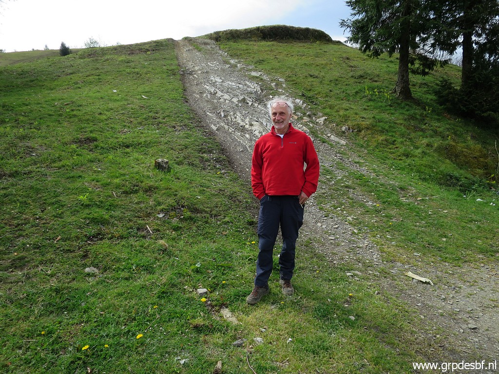
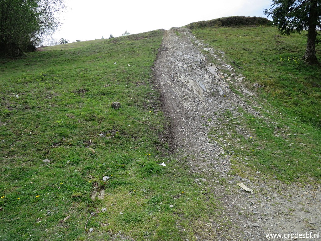
Close to Benta Berrouet (bm061) we make a short trip to see if the shortcut to bm062 still exists. I discovered that shortcut on 21-7-2017. |
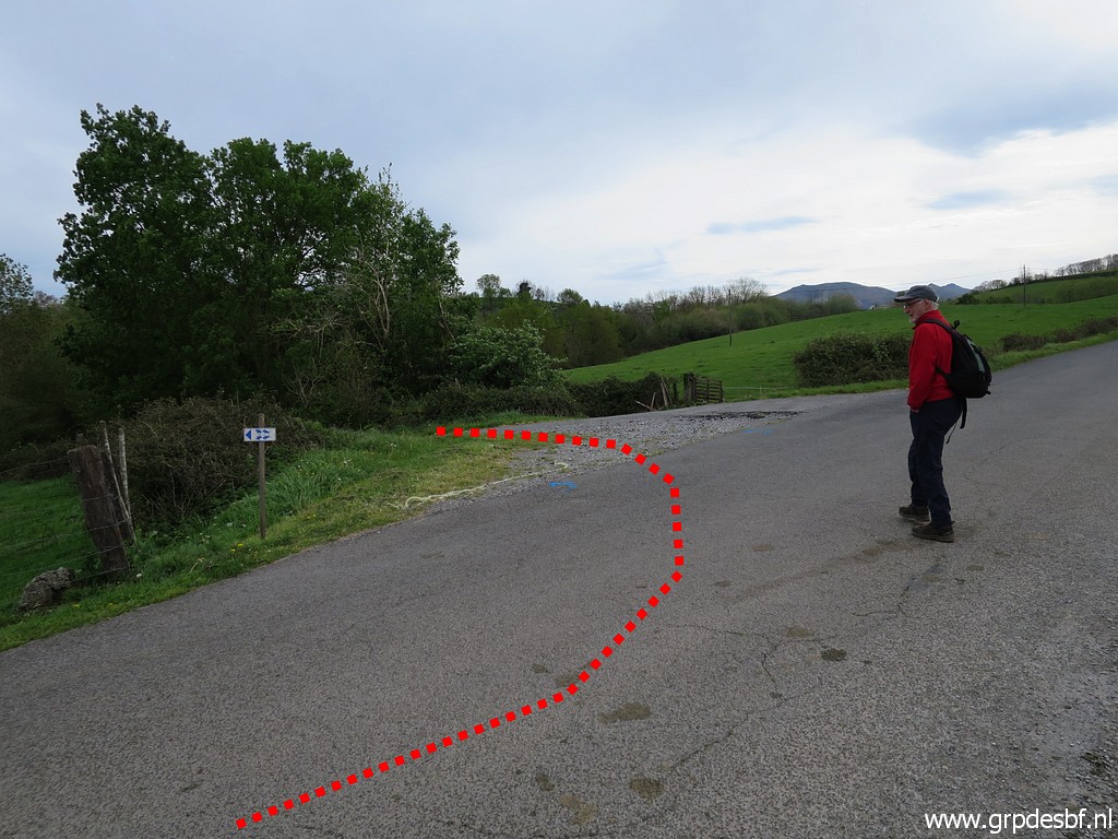 | The side-road to enter which (click photo to enlarge) |
 | is in fact a dirtroad leading up (click photo to enlarge) |
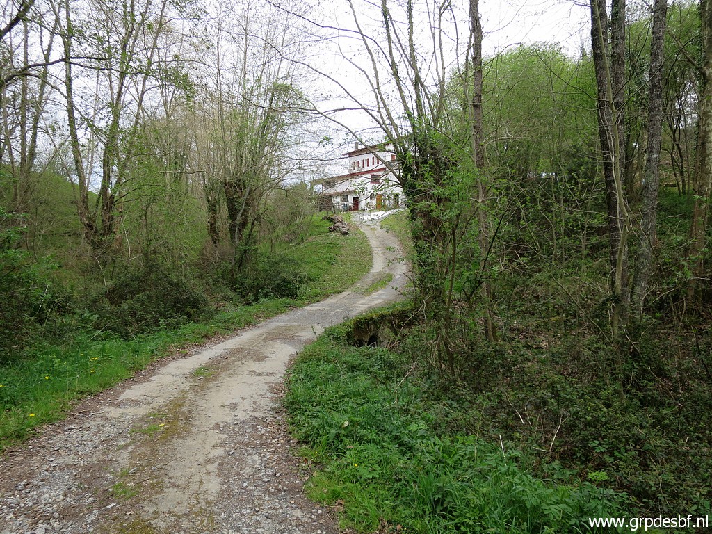 | to the backside of Benta Urtxola. (click photo to enlarge) |
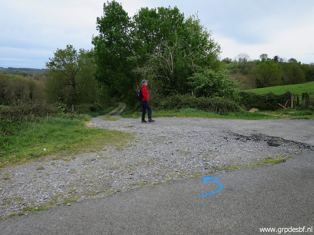
 | At this point we go to the right where (click photo to enlarge) |
 | a well trodden path enters the forest (click photo to enlarge) |
 | and climpbs uphill, (click photo to enlarge) |
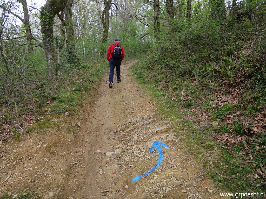 | then turns left. The trail is now much more distinct than 5 years ago. (click photo to enlarge) |
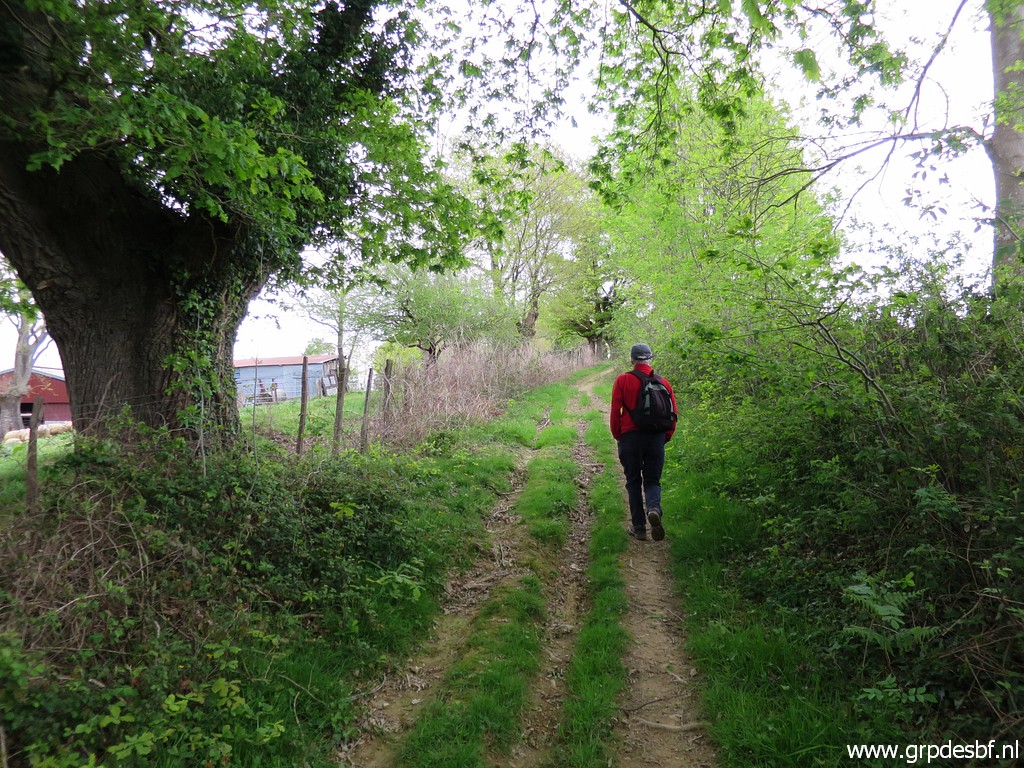 | The trail curves into this dirtroad. (click photo to enlarge) |
 | Sheep have right of way of course. (click photo to enlarge) |
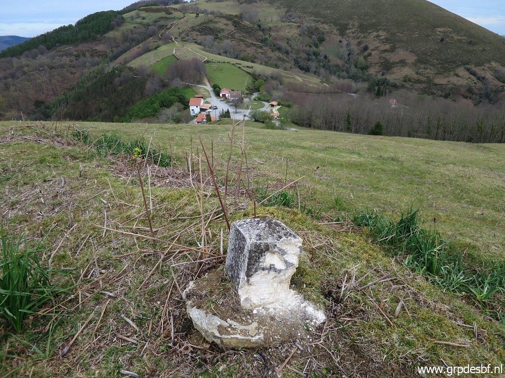
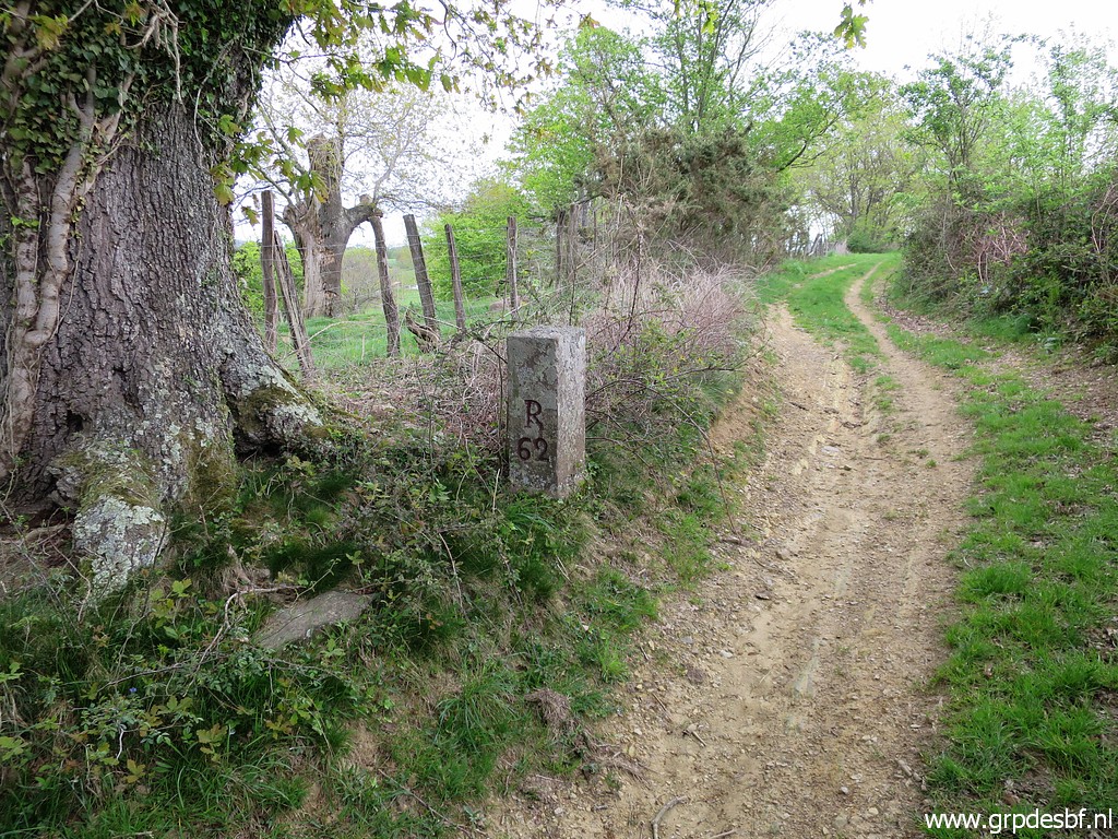 | Arriving at bm062 (click photo to enlarge) |
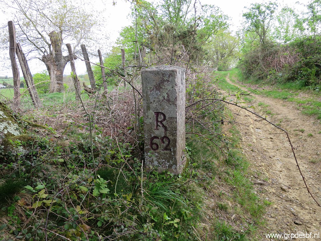 | Bm062 (click photo to enlarge) |
 | Bm062 (click photo to enlarge) |
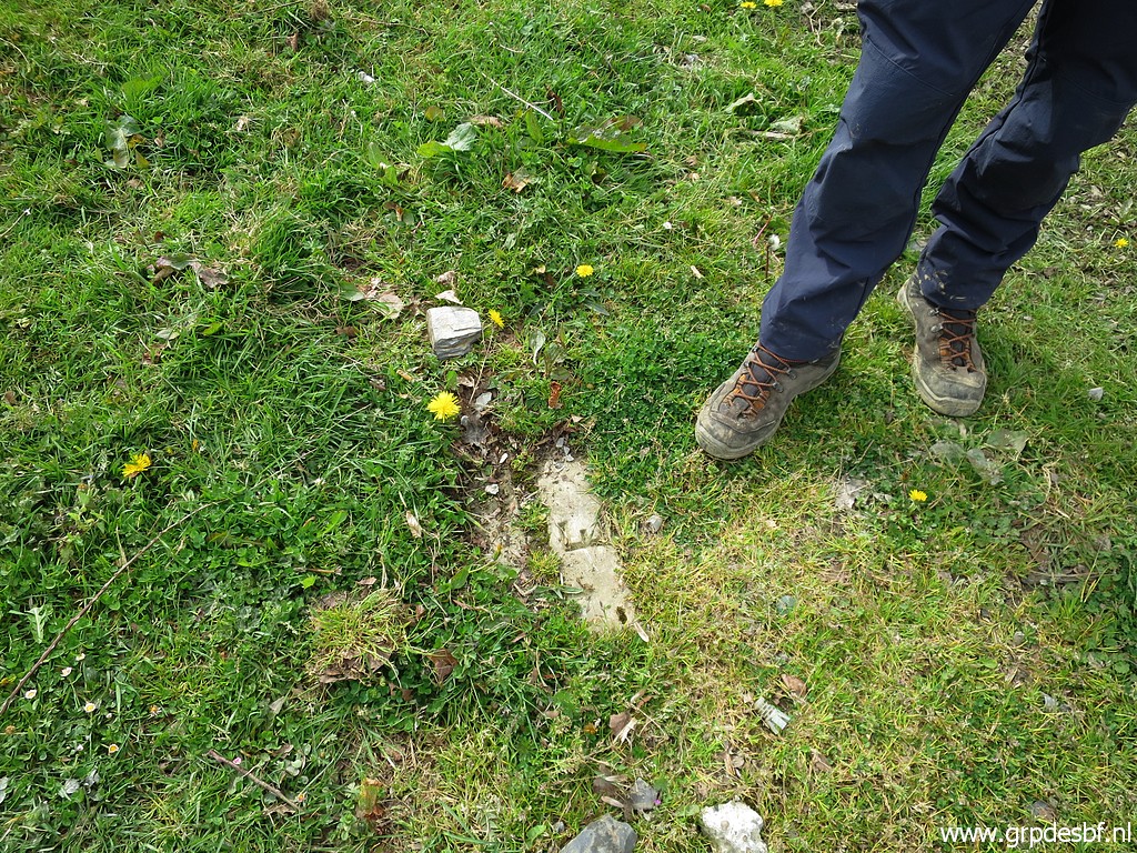
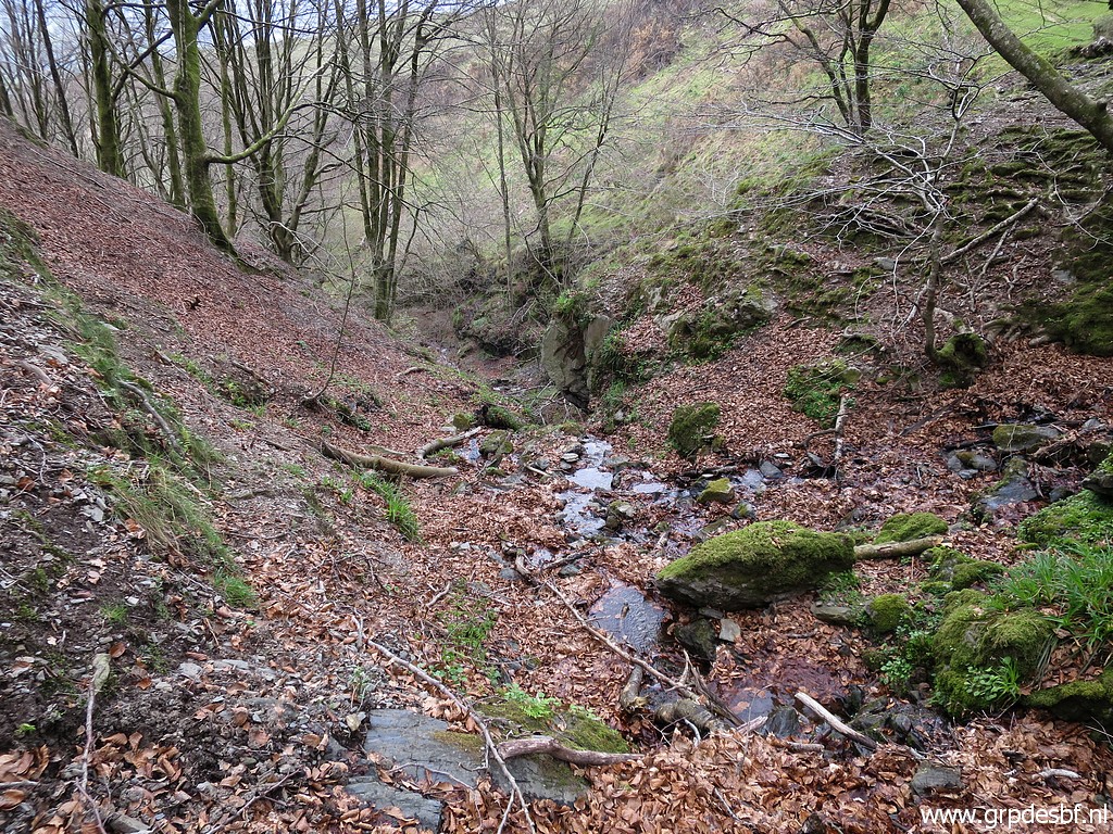
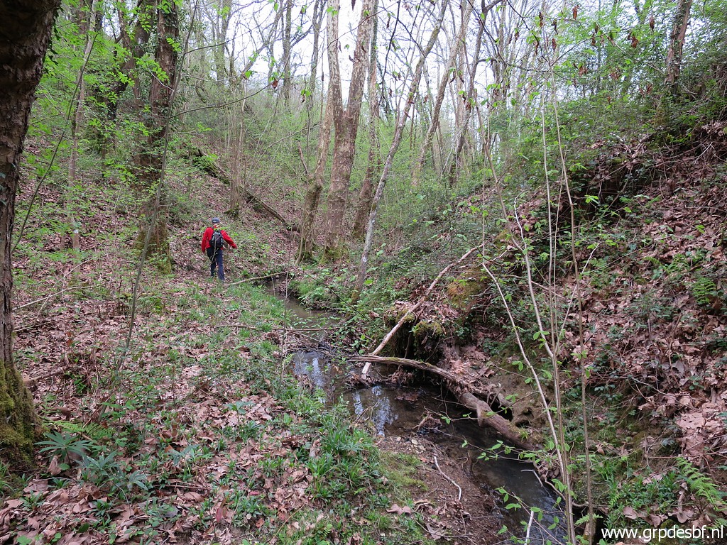 | At
our way back, we try an alternative trail to descend but it is no
longer in use and we have to work our way back along the stream. (click photo to enlarge) |
Trip 2 |
|
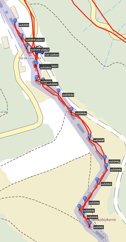 |
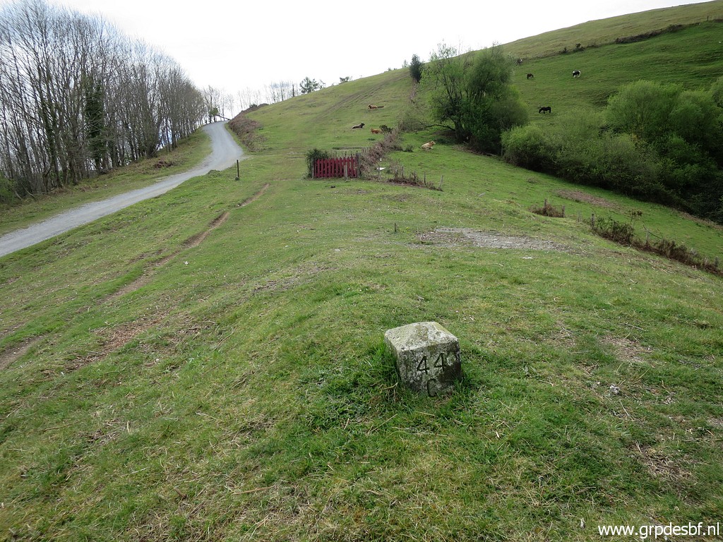
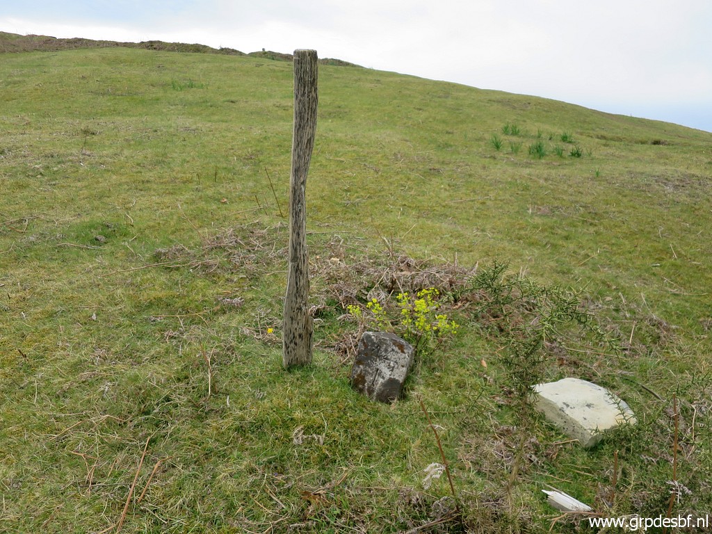
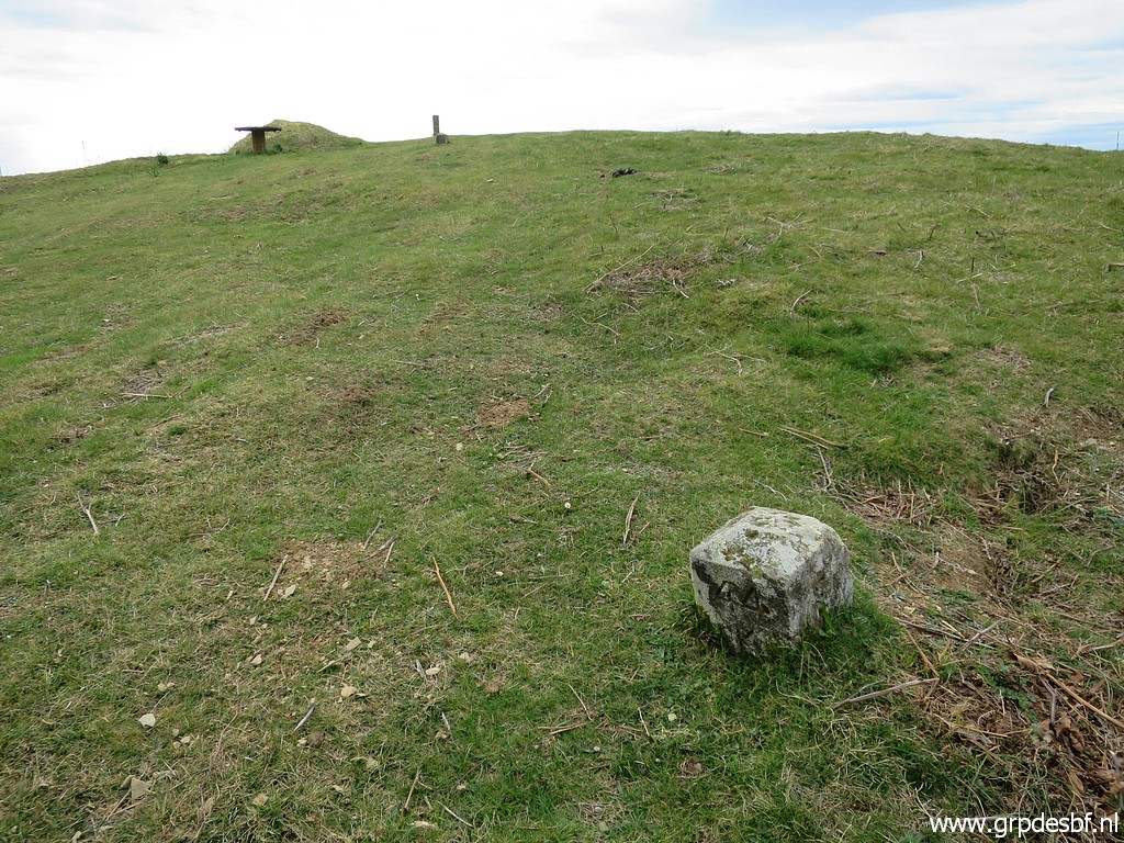
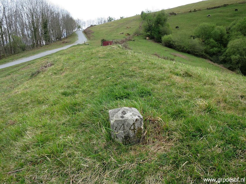
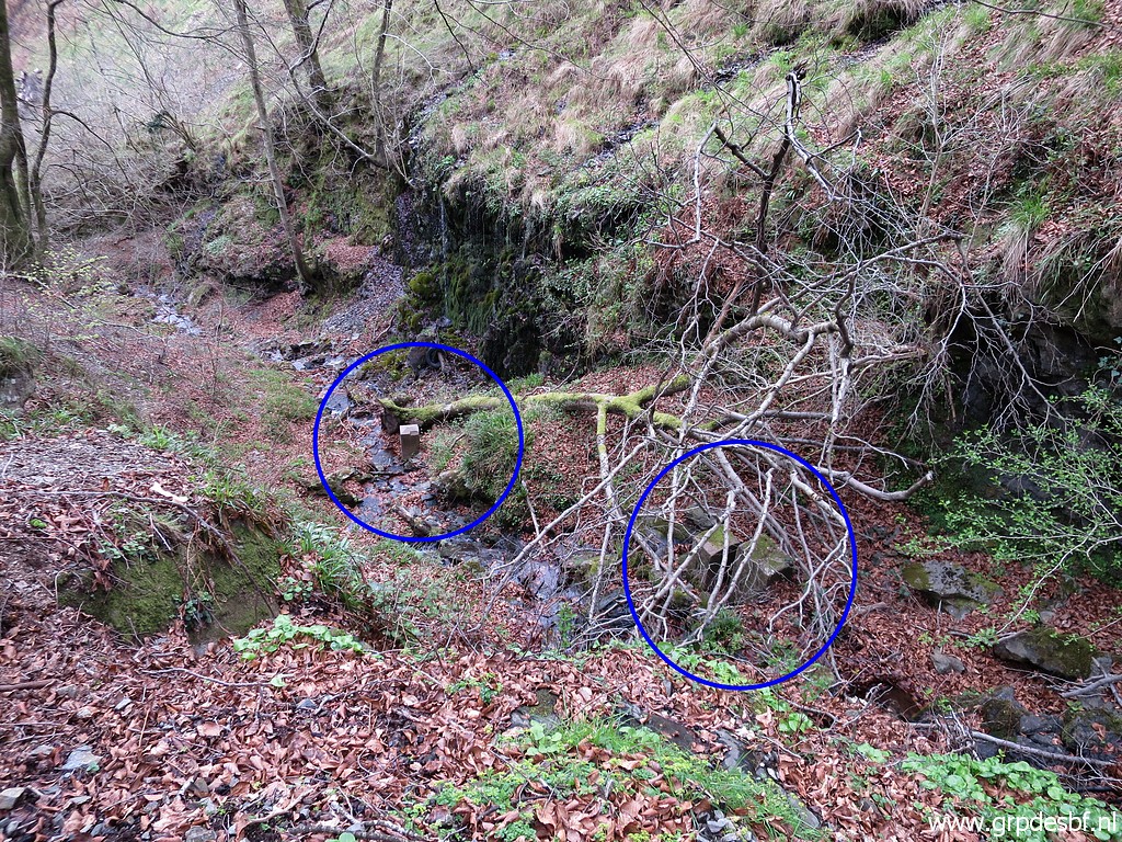
The second trip is from Col de Lizarrieta. I just want to check if bm044L is still in place. I relocated this submarker on 23-6-2020 to its original spot. Also a check if the third unnumbered plate is still visible I discovered it under a layer of gras on the same day. |
 | Having arrived at the Col de Lizarrieta. (click photo to enlarge) |
 | Michel has easily uncovered (click photo to enlarge) |
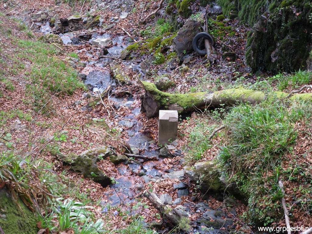
 | the third metal plate on the broad horizontal Col (between bm044 and 044A). (click photo to enlarge) |
 | The third metal plate with bm044a in the background. While Michel uncovers and cleans the metal plate, I (click photo to enlarge) |
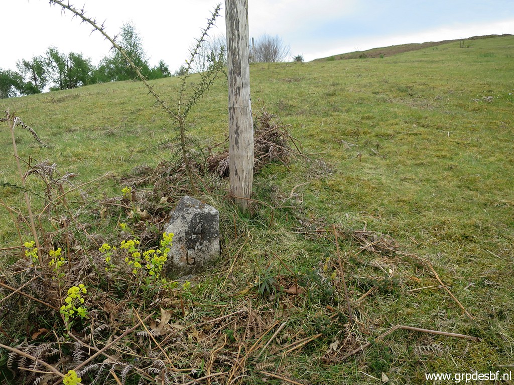
 | climb uphill towards bm045L along the 044-submarkers. This is bm044c (doing 044a and 044b on my way back). (click photo to enlarge) |
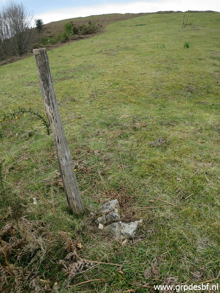
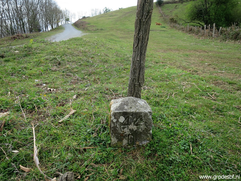 | Bm044d (click photo to enlarge) |
 | Bm044e (click photo to enlarge) |
 | Bm044e zoom-in (click photo to enlarge) |
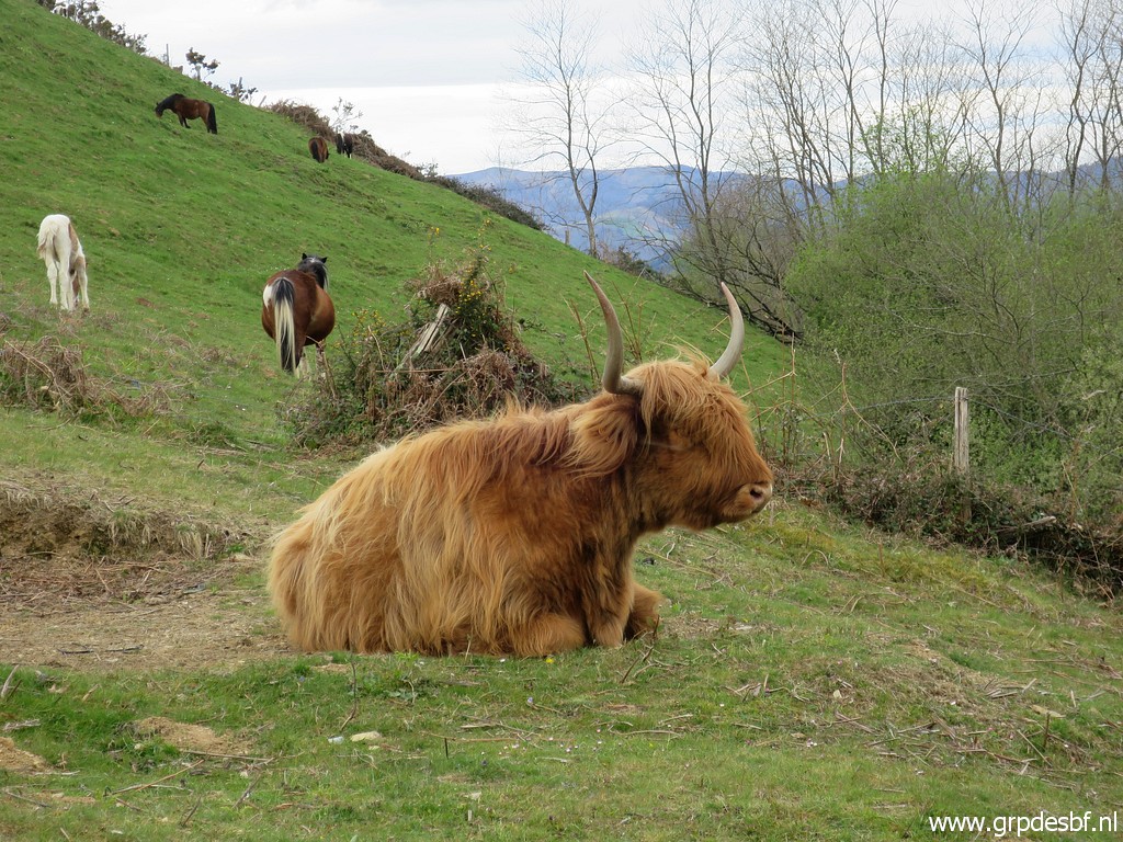 | Cow at peace, not interested in bordermarkers. (click photo to enlarge) |
 | Bm044f (click photo to enlarge) |
 | Bm044g (click photo to enlarge) |
 | Bm044g (click photo to enlarge) |
 | Bm044h (click photo to enlarge) |
 | Bm044h (click photo to enlarge) |
 | Bm044i (click photo to enlarge) |
 | Bm044i (click photo to enlarge) |
 | Bm044j (click photo to enlarge) |
 | Bm044j with Col de Lizarrieta in the background (click photo to enlarge) |
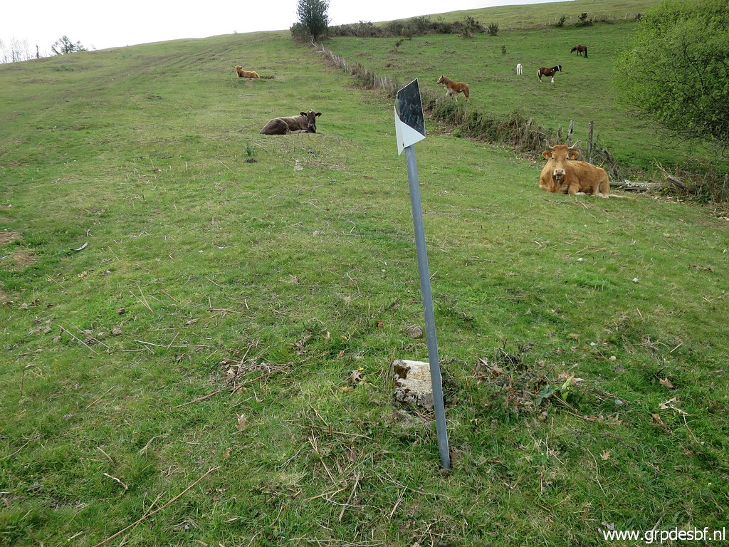
 | Bm044k (click photo to enlarge) |
 | Bm044k (click photo to enlarge) |
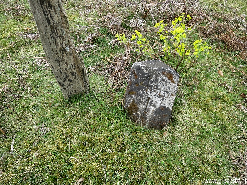
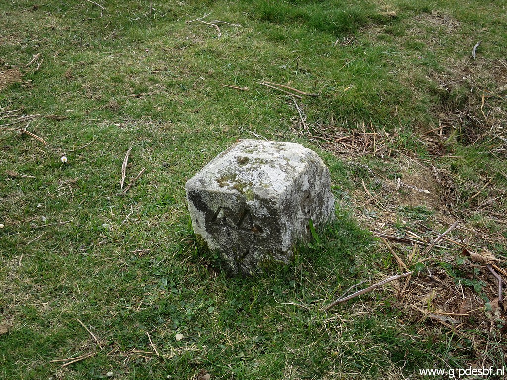
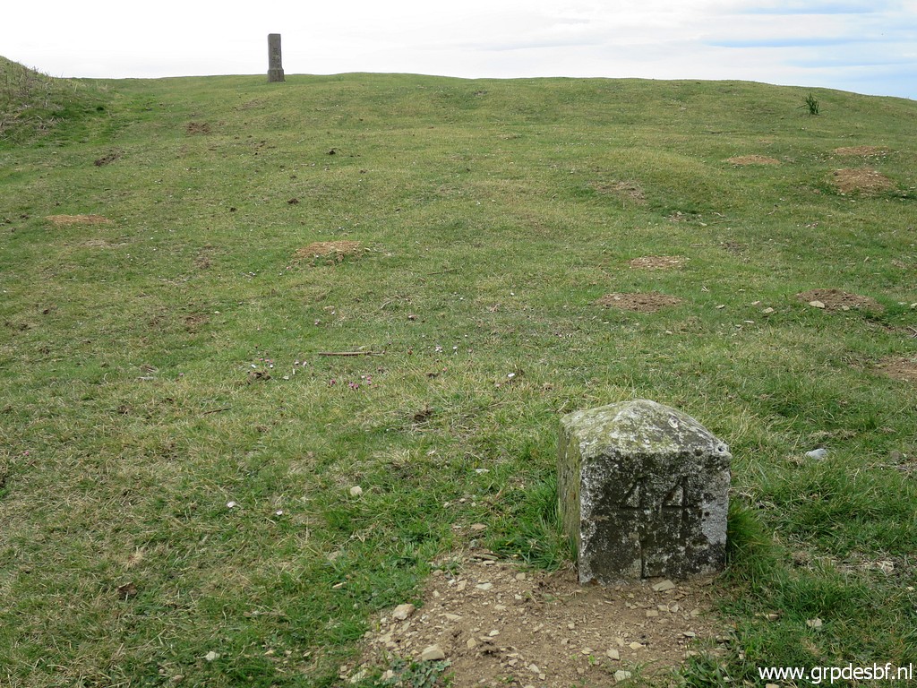 | Bm044l, this is the one that I relocated to its original spot on 23-6-2020. It's still 'in situ'. (click photo to enlarge) |
 | Bm044l (click photo to enlarge) |
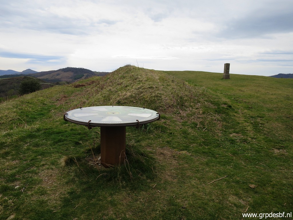 | In between a plateau (click photo to enlarge) |
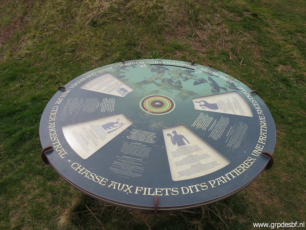 | with information on the shooting of migration birds, an old tradition on these hills. (click photo to enlarge) |
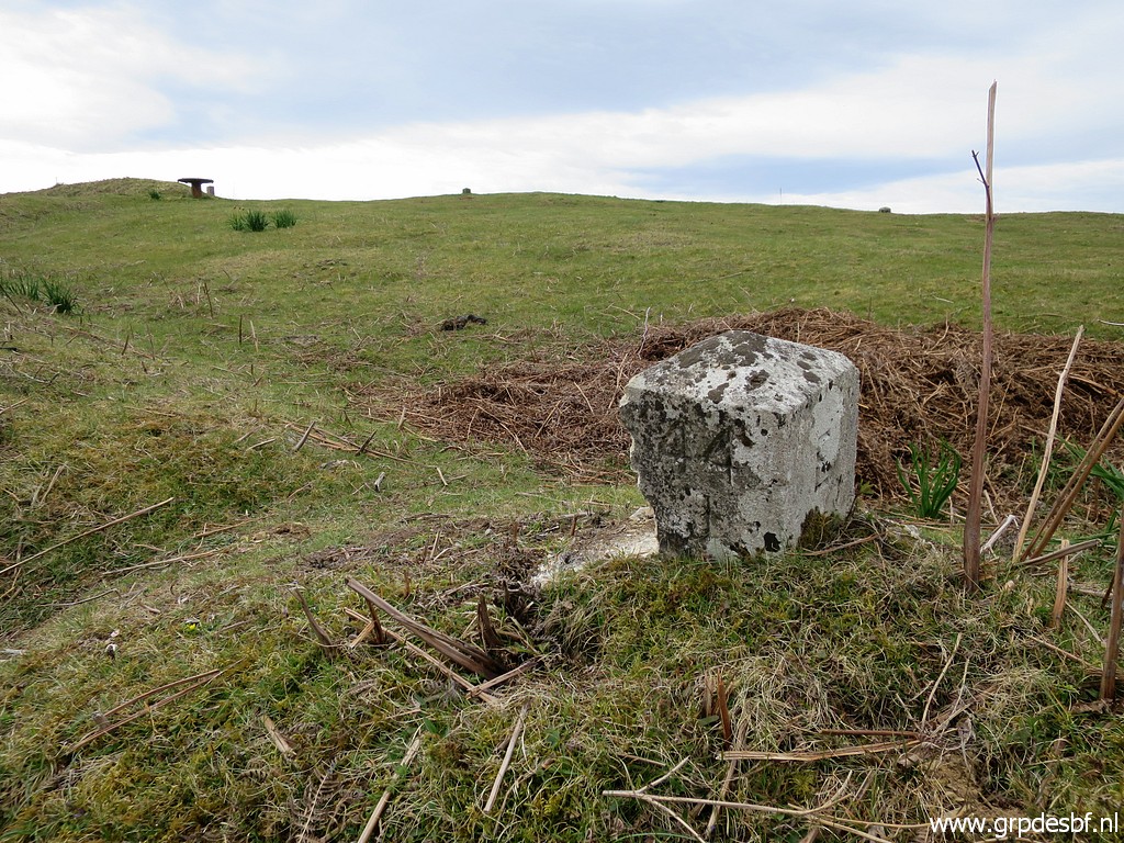
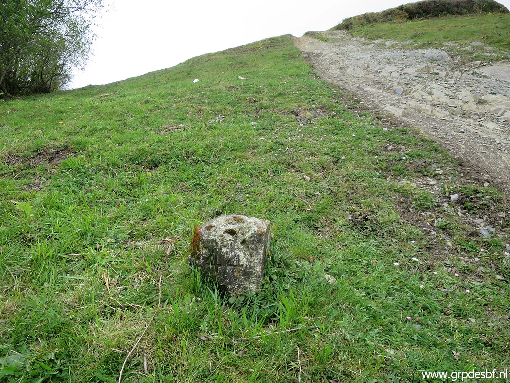
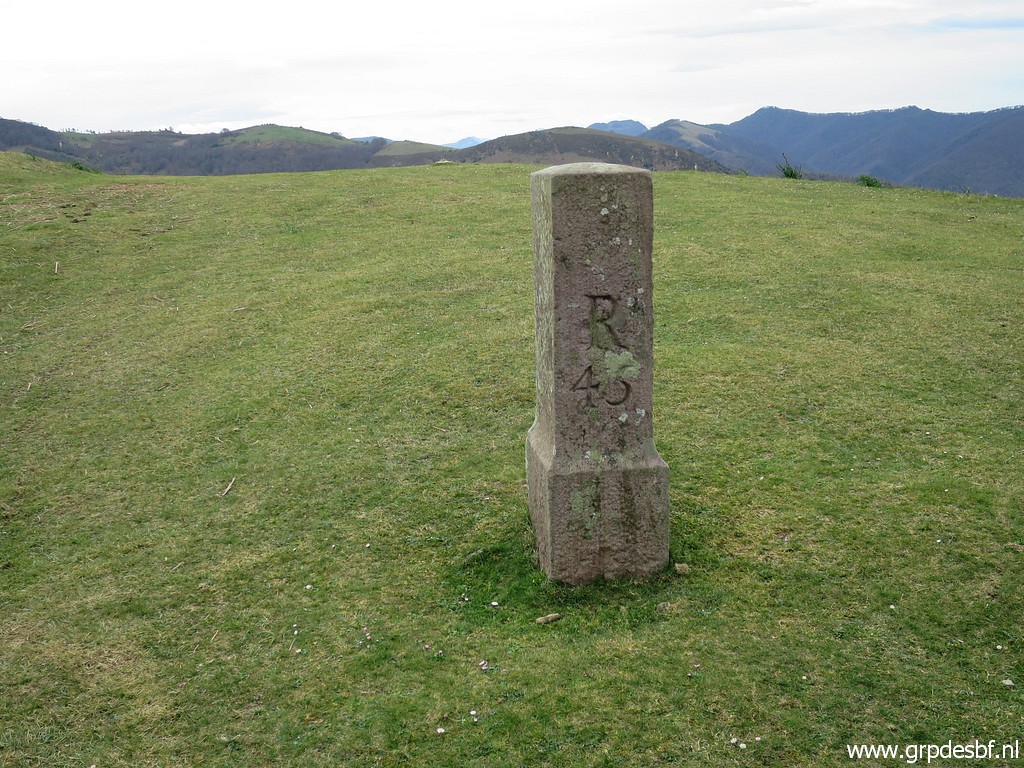 | Bm045 (click photo to enlarge) |
 | Bm045 (click photo to enlarge) |
 | While going back, doing bm044b which I missed earlier. (click photo to enlarge) |
 | Bm044a (click photo to enlarge) |
 | And back at the third unnumbered plate which Michel has unearthed and cleaned. (click photo to enlarge) |
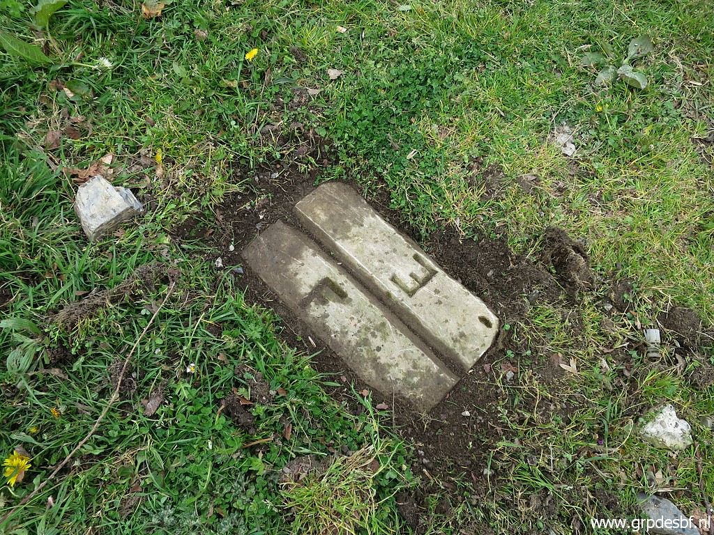 | Third unnumbered plate (click photo to enlarge) |
 | Third unnumbered plate (click photo to enlarge) |
 | And why not do the rest of the markers? This is the second unnumbered plate. (click photo to enlarge) |
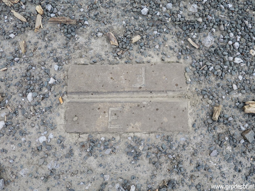 | Second unnumbered plate (click photo to enlarge) |
 | Second unnumbered plate, looking towards the third plate. (click photo to enlarge) |
 | The first unnumbered plate (click photo to enlarge) |
 | First unnumbered plate (click photo to enlarge) |
 | First unnumbered plate, looking towards the second plate (where Michel stands). (click photo to enlarge) |
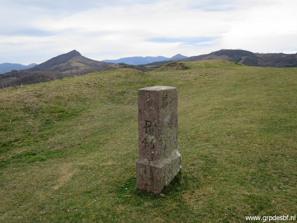
 | Finally bm045. (click photo to enlarge) |
 | Bm045 (click photo to enlarge) |
Trip 3 |
|
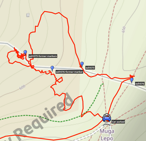 |
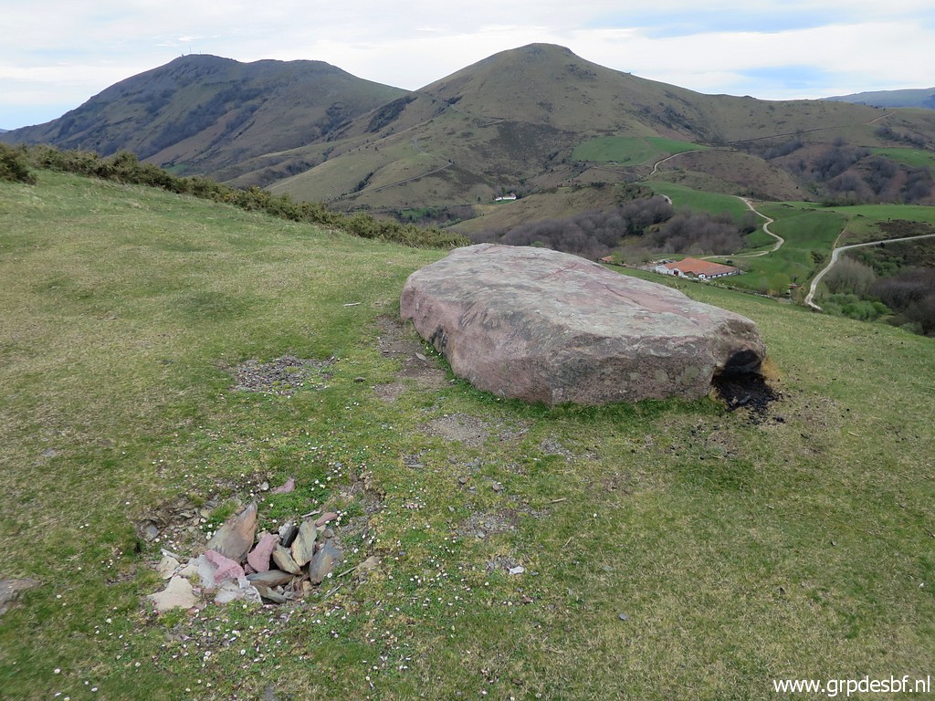
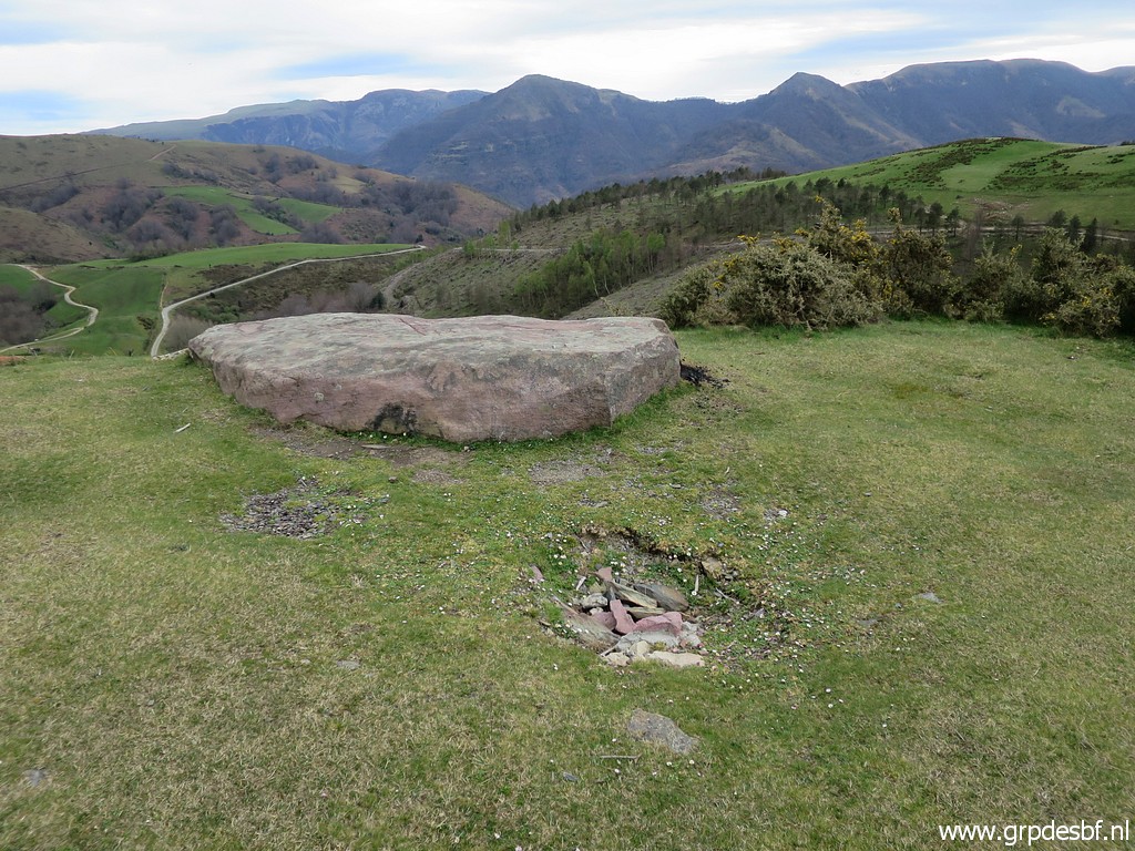
Then via Dantxarria (lunch) and on a long bumpy dirtroad to the foothills of the Gorospil-summit. Bm076 has recently disappeared as reported by Michel on 9 july 2021. That is not the first time that bm076 went missing. Same story for bm075. Some older versions can be found downhill in the so-called 'Gorospil-cemetery'. Read the details on this page. |
 | But first a look at the spot of the disappeared bm076. (click photo to enlarge) |
 | The hole in the ground is the spot. (click photo to enlarge) |
 | Original spot of bm076. (click photo to enlarge) |
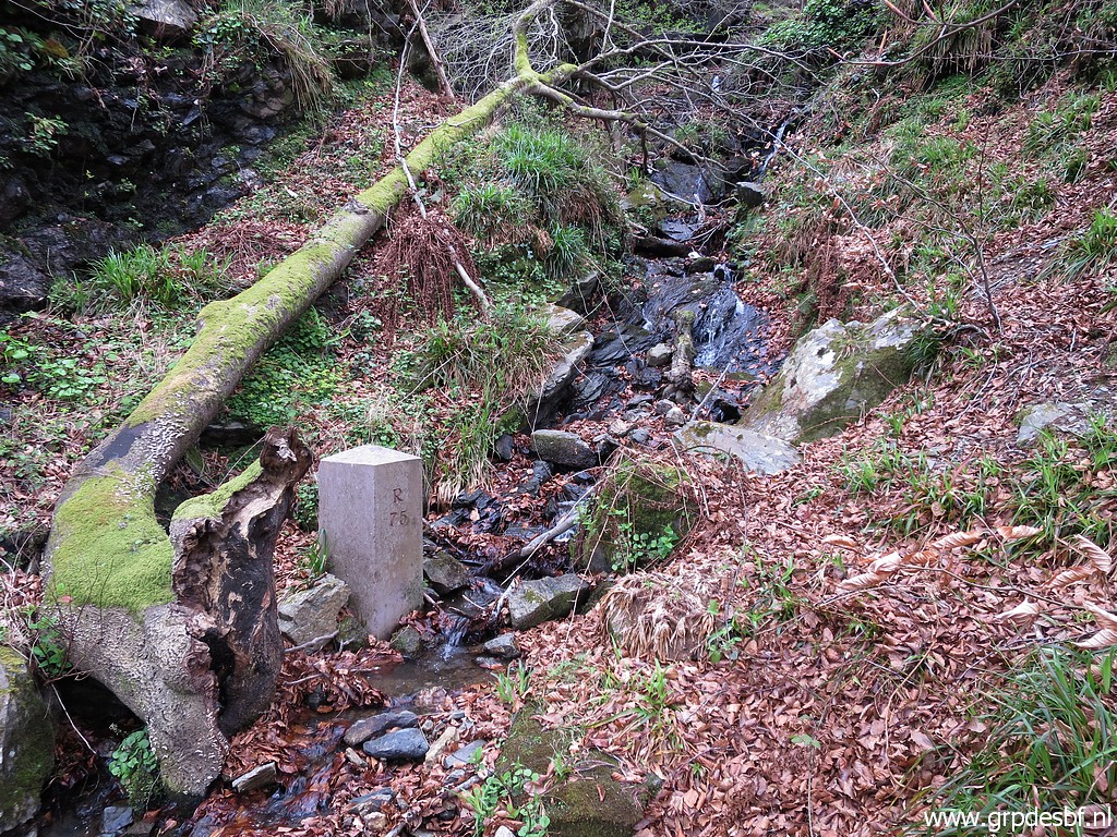
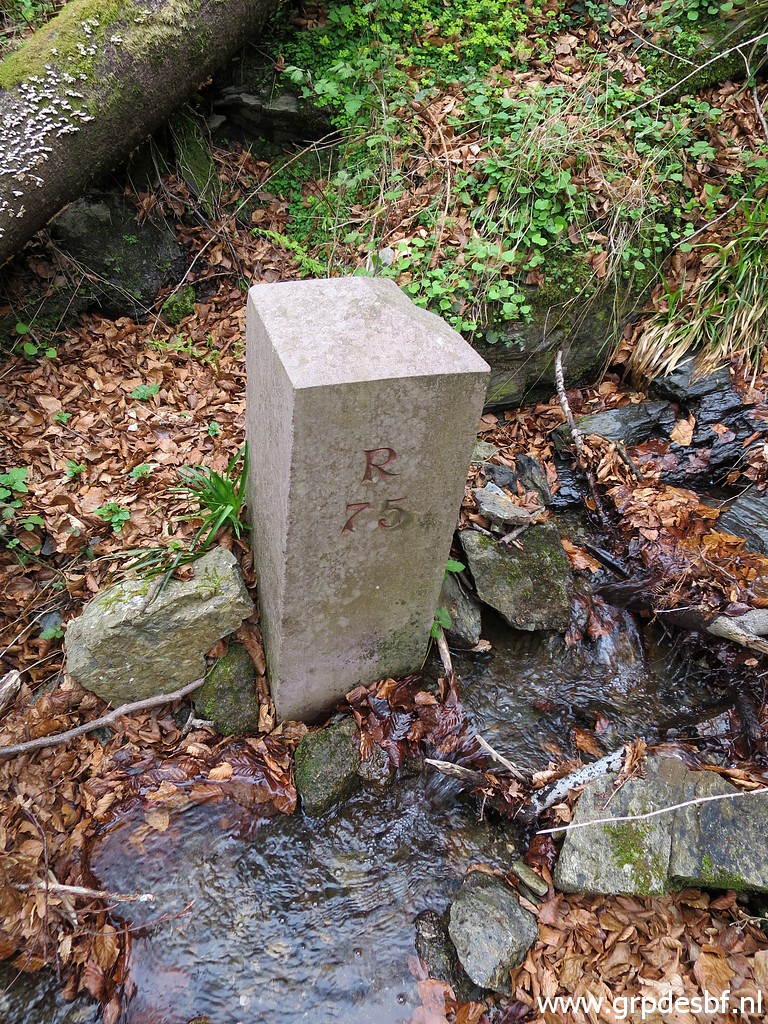
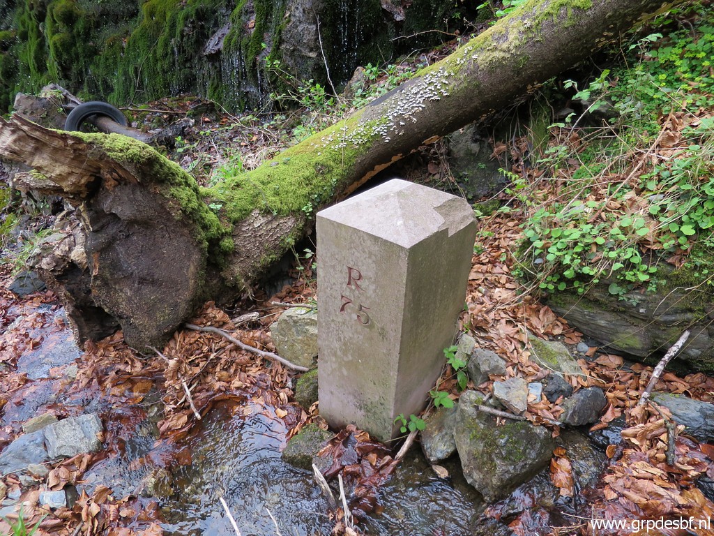
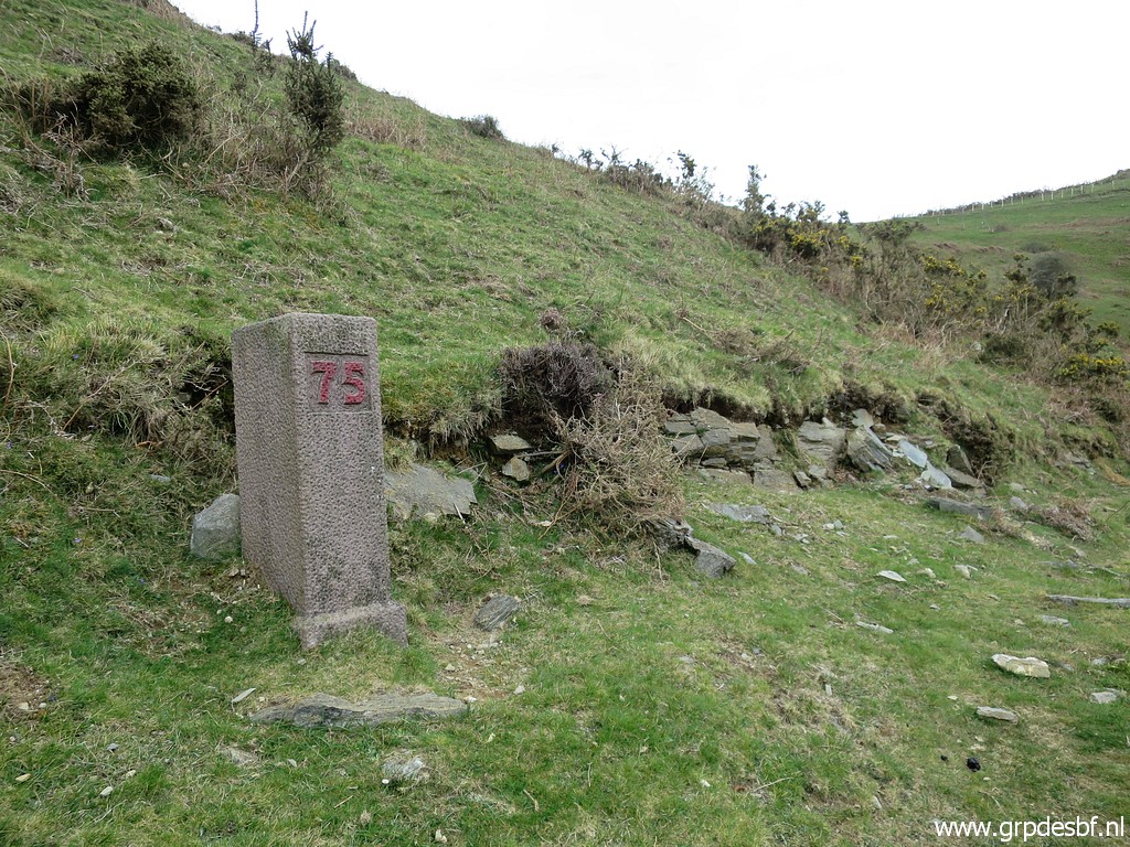 | We descend to bm075 which still stands proudly. (click photo to enlarge) |
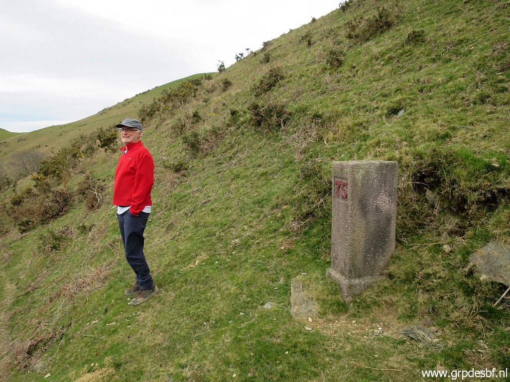 | Bm075 (click photo to enlarge) |
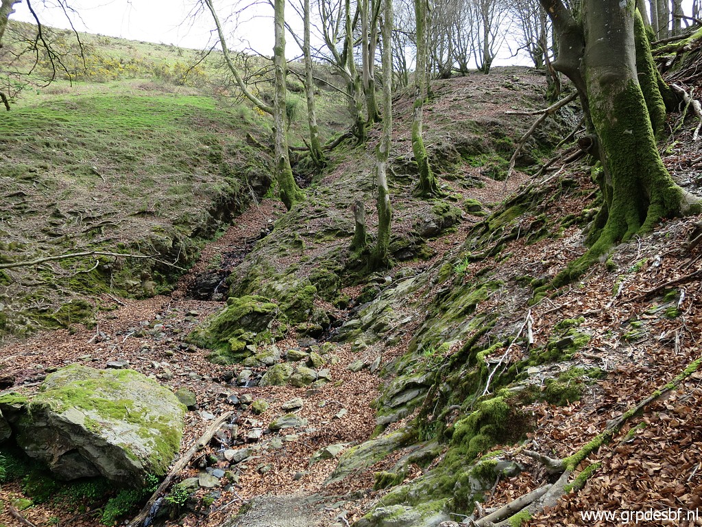
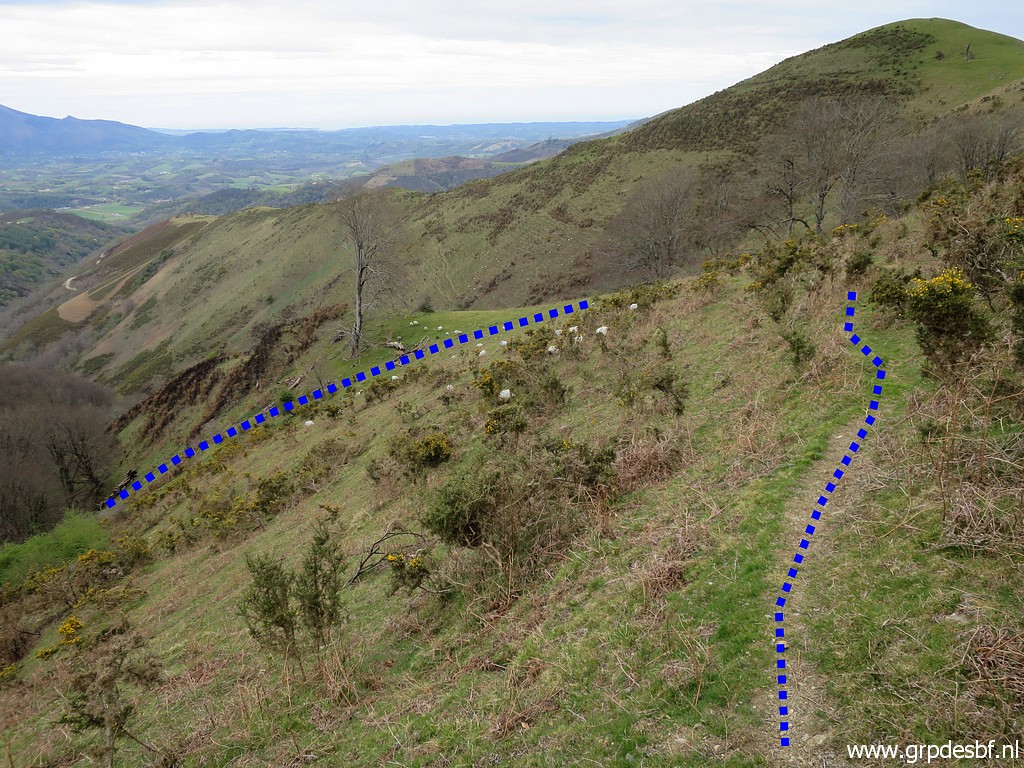 | Then descending in a curve to the Gorospil-cemetery. (click photo to enlarge) |
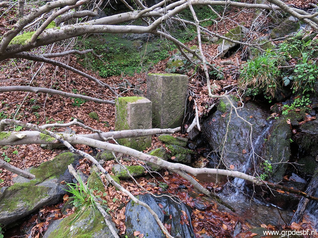
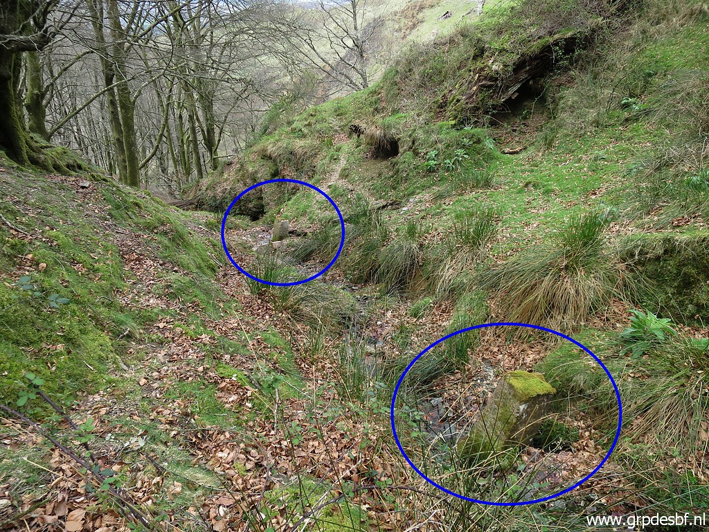
 | This is where a trail crosses a stream (now dry). Uphill and downhill we will find in the streambed several old markers, apparently tossed down the hill-ridge. (click photo to enlarge) |
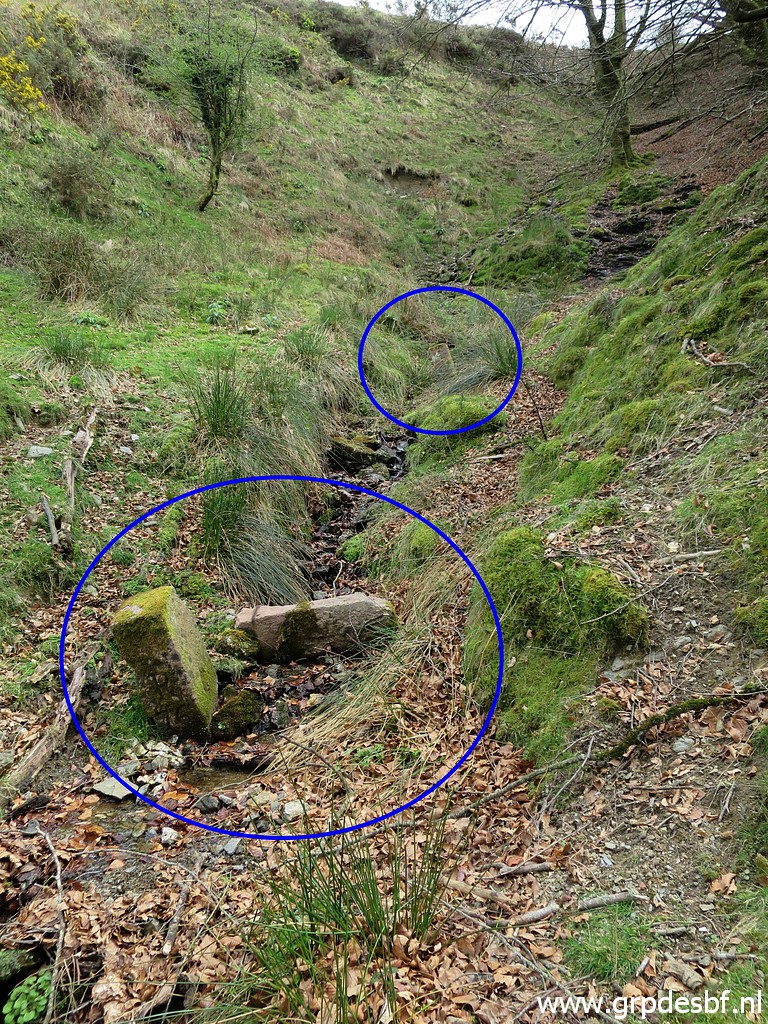
 | Looking uphill, the left streambed is where you can find 3 old markers with one with no. 76. (click photo to enlarge) |
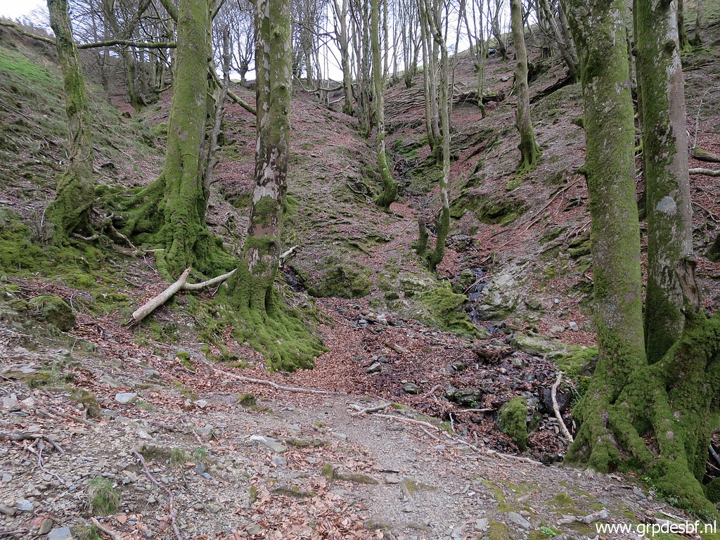
 | But first I descend downhill (click photo to enlarge) |
 | and soon spot the 2 locations of old markers. (click photo to enlarge) |
 | Two markers visible. (click photo to enlarge) |
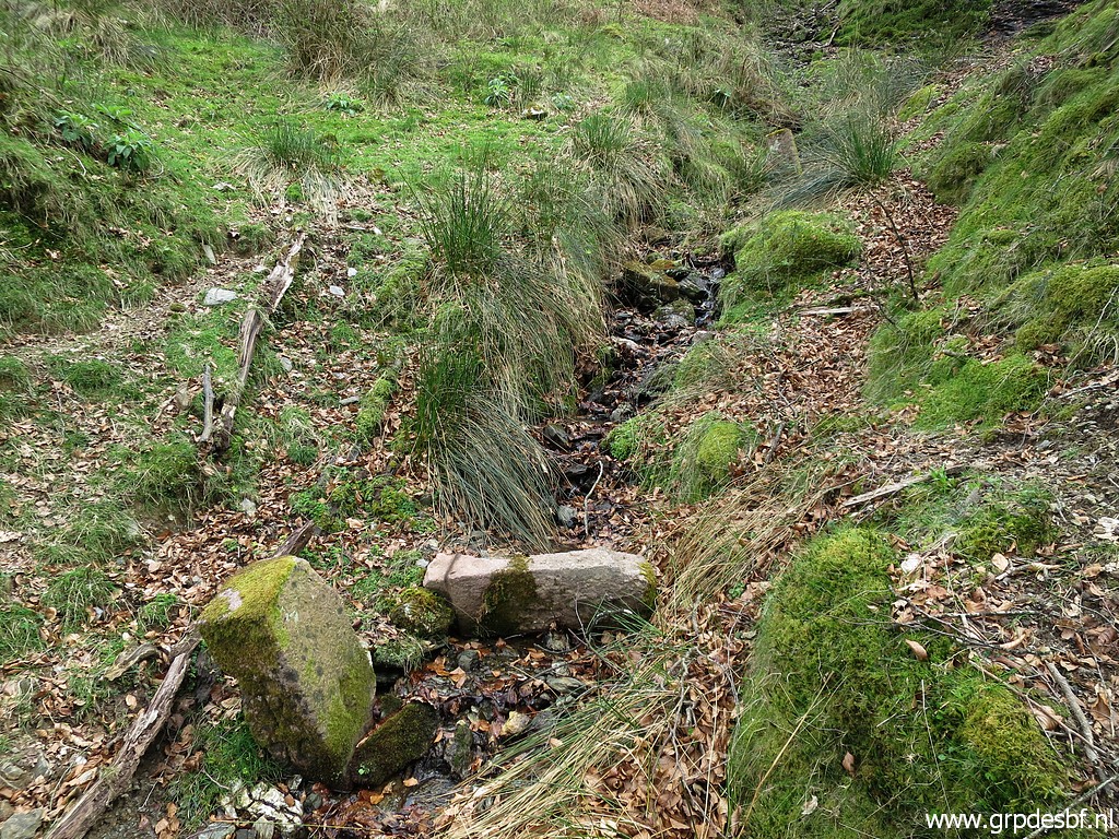
 | A bit lower one marker, that's my first target. (click photo to enlarge) |
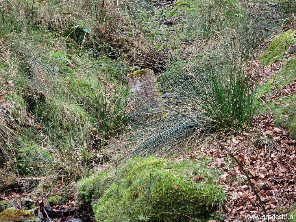
 | It's quite steep to descend to the streambed. (click photo to enlarge) At the top of the tree you can |
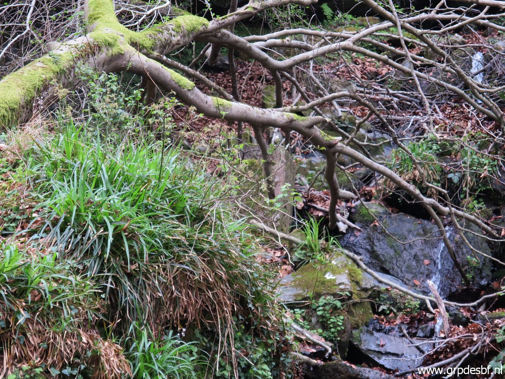 | spot the other markers. (click photo to enlarge) |
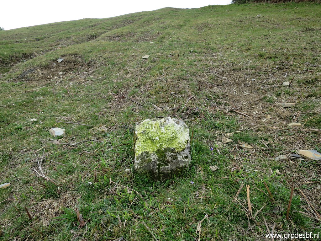
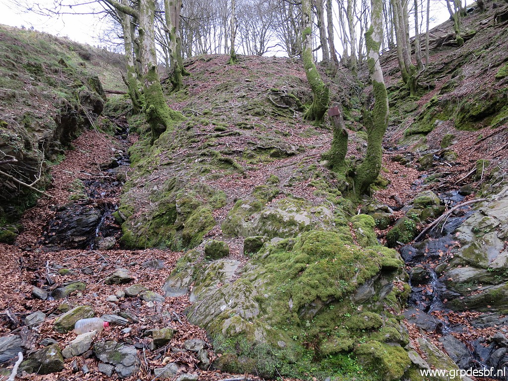
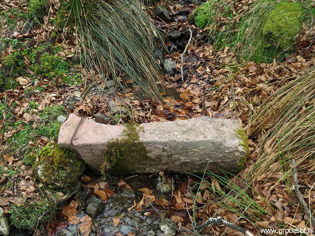
 | It's an old bm075 (click photo to enlarge) |
 | Old bm075 (click photo to enlarge) |
 | Then climbing to the other 2 markers. (click photo to enlarge) |
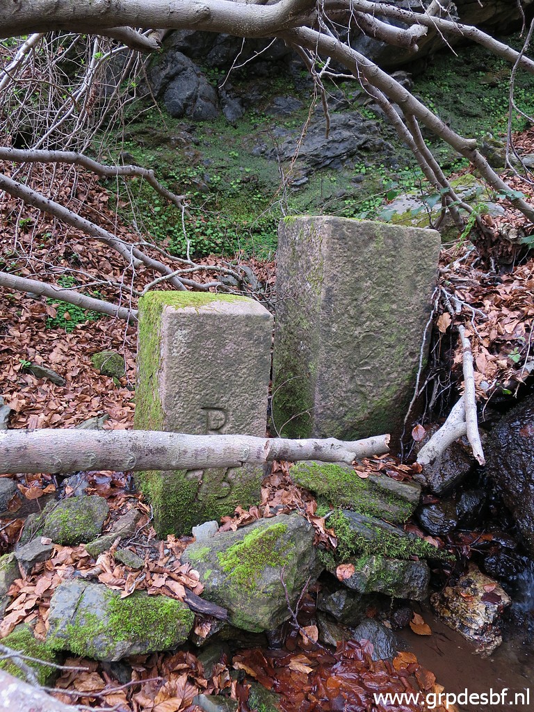 | One of them is an even older bm075. The other one has no number. (click photo to enlarge) |
 | Back to the crossing of the stream (click photo to enlarge) |
 | and climbing uphill in the left streambed. Also here 2 locations with old markers. (click photo to enlarge) |
 | These are the lower 2 ones (click photo to enlarge) |
 | and this is the upper one. (click photo to enlarge) |
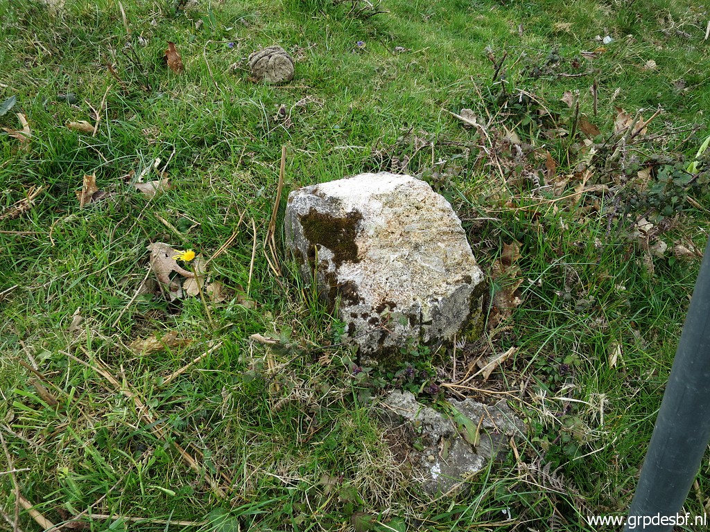
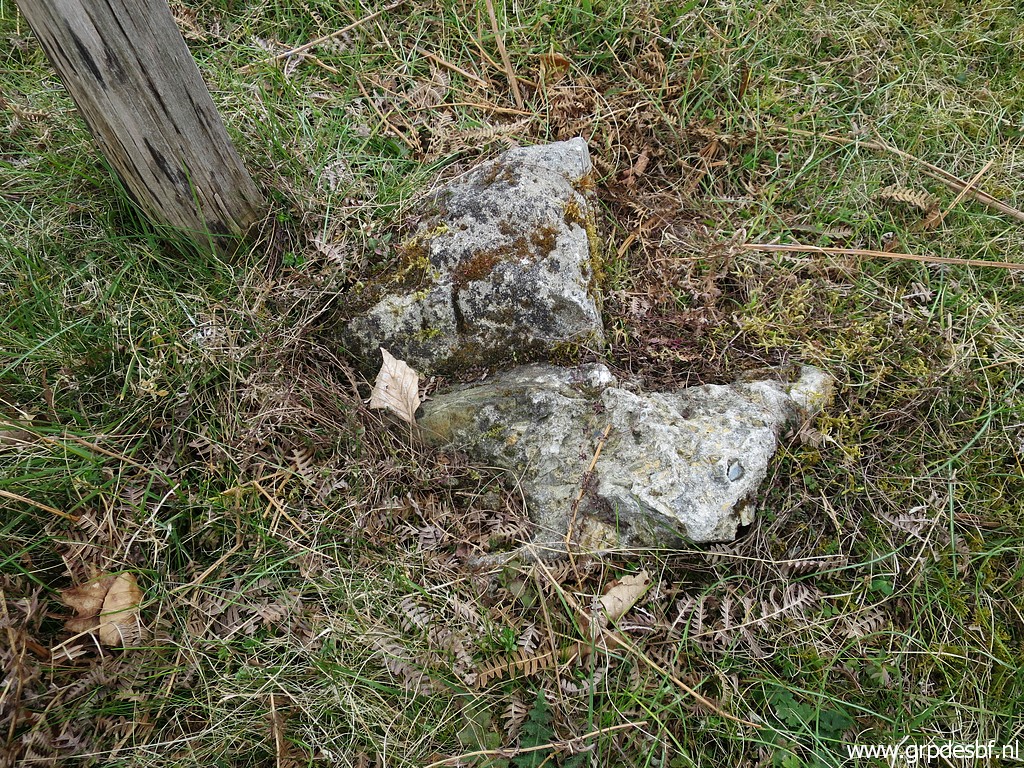
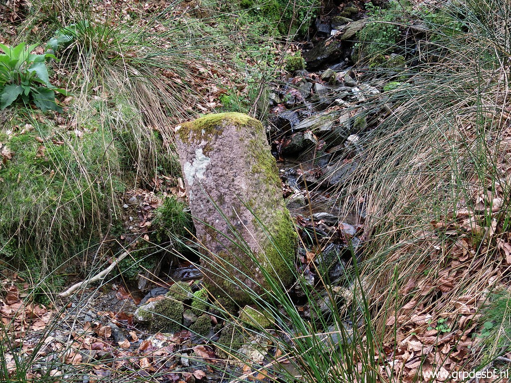
 | A bit difficult to see but this is an old no. 76. (click photo to enlarge) |
 | The adjacent marker is vertically split in half and has no engravings. (click photo to enlarge) |
 | The upper marker is also (click photo to enlarge) |
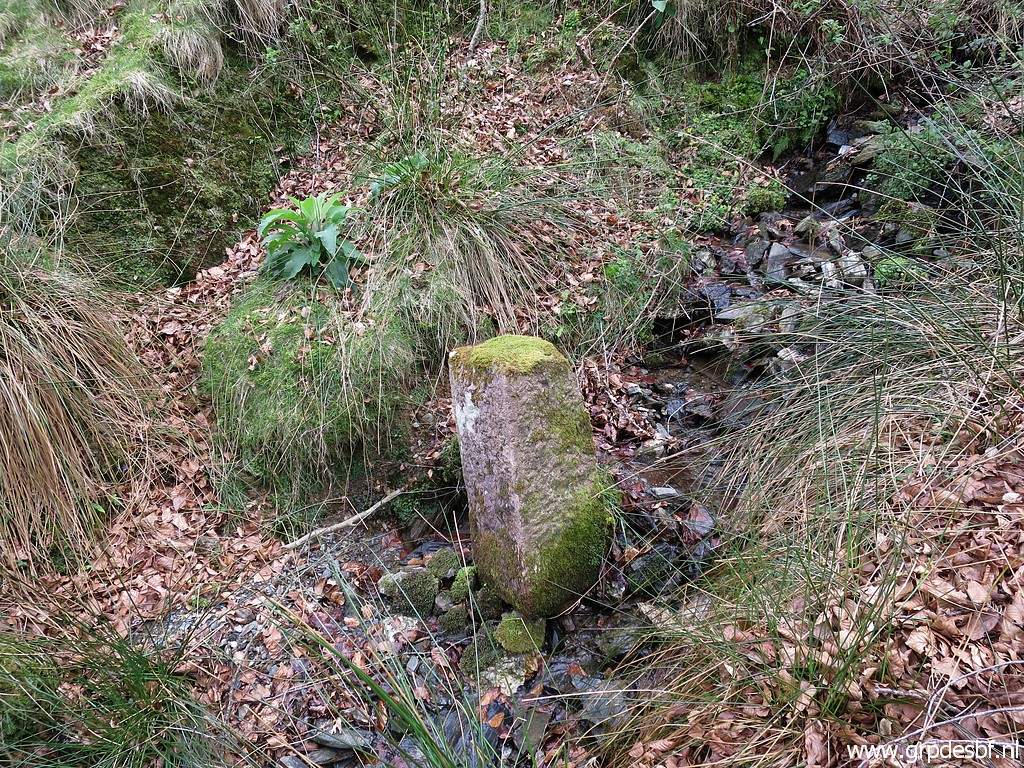 | without engravings (click photo to enlarge) |
 | Both locations, now seen from above. Conclusion: these markers were already in their positions on 23-7-2017. But no trace of the recently disappeared bm076. (click photo to enlarge) This is the end of our trip. We drive home, to Bayonne. At night a delicious dinner with Michel and his wife and a couple who has accompanied Michel on many bordermarker-trips. |