|
The
bordermarkers of the Pyrenees : all my trips
 |
|
| -
21 july
2004 - |
 |
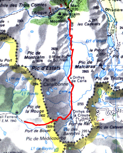 |
Trip-summary Part of a 8-days hike around the two tripoints of Andorra and neighbouring bordermarkers. Starting in Arinsal and finishing in Puigcerda with in between public transport from Auzat to Porte Puymorens. On this day I walked from Pla de Bouet to the Gîte d'Étappe in Mounicou. On the Port de Bouet I found bm426. I passed this Col also on 18 august 2001 when I expected a borderstone, not a cross. And again at 26 august 2007 Walking: 7½ hours. Ascending: ± 600 meters. Descending: ± 1400 meters. |
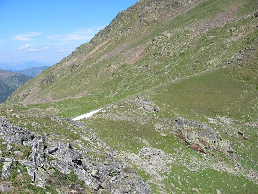 |
Port de Bouet At the pass looking back into Spain. It took me 2 hours (8.30-10.30) to climb to this pass. Searching for the bordercross took me quite a while. But it happened to be on the most probable spot: the rock and cairn in the middle of the pass. |
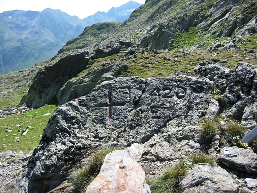 |
Bm426 |
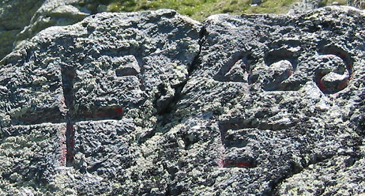 |
It took me long to
discover what is wron with this number. The 6 and the F are carved in
mirror. |
|
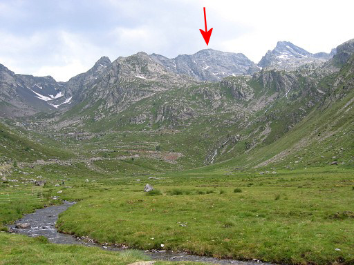
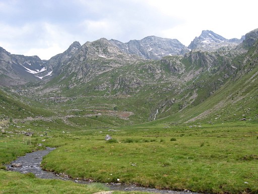
Pic de Medecourbe After a steep descent I reached the valleyfloor. The Pic de Medecourbe with his gentle curve is well visible from the north-valley. Move the cursor over the picture to show the Pic de Médecourbe. |
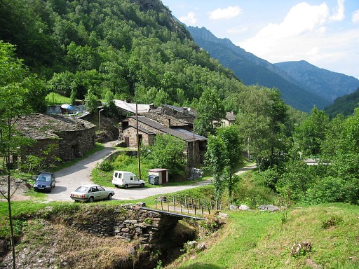 |
Gîte d'Etappe in
Mounica |