|
The
bordermarkers of the Pyrenees : all my trips
|
|
| -
22 may
2011 - Refuge las Salines revisited  previous
trip next
trip previous
trip next
trip 
|
 |
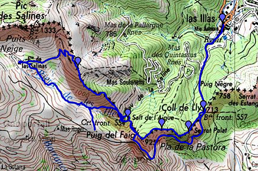 |
esfr-trip-track-20110522.kml (click to open this trip in Google Earth or copy link to Google Maps; click right on this link to download gpx-version) Summary: part of a 7-days trip to the Pyrénées Orientales with Jan-Willem. Mainly reconnaissances of routes. Supreme highlight: sailing to bm602 on day 1. Day 2: a trip from Las Illas, main target:exploring routes between Refuge las Salinas and bm554. Weather: sunny, hot |
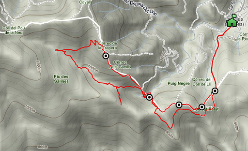 |
For explanation of
the gps-coordinates and other cartographic backgrounds: see my cartography page Start: 8.45 Finish: 17.45 Bruto walking time: 9 hours According to the gp-tripteller: Distance: 13,8 km Time en route: 8.55 hours Total ascent: 1085m Maximum height: 1173m |
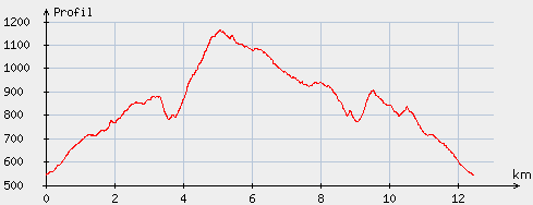 |
According
to visugpx - distance : 12.7 km - cum. elevation gain : 917 m - cum. elevation loss : 917 m - total elevation: 1834 m - altitude maxi : 1165 m - altitude mini : 545 m - altitude average : 873 m |
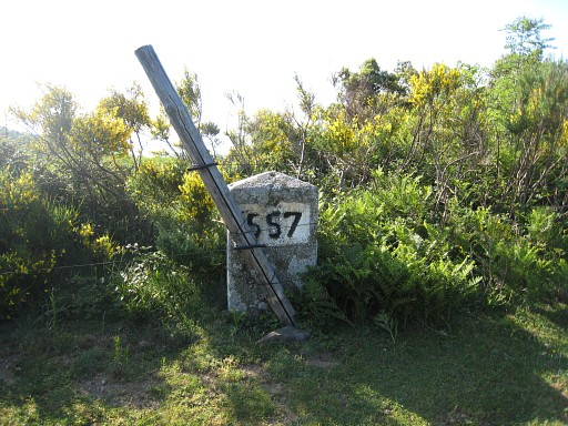 |
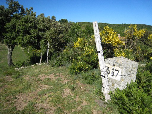
From Las Illas, we climb to Col de Lly with bm557. Bm557 is not on the pass itself but ± 35 meters SW along the fence. |
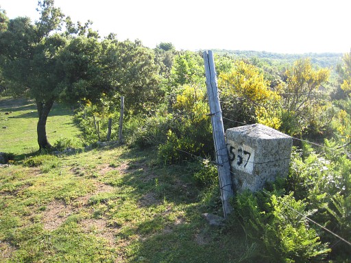 |
Bm557 |
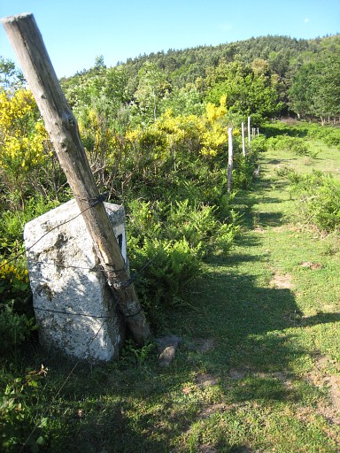 |
Bm557 |
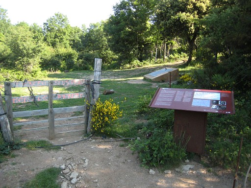 |
Placed
in recent years - as on so many border passes - a monument and
information panel remembering the Spanish refugees of 1939. |
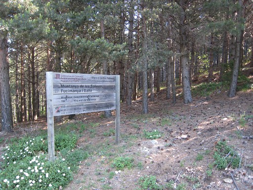 |
On the Spanish side, we follow the winding dirtroad to the S and W. We look for trails leading to the borderridge at the right. Then we reach a sort of pass with this information board. This is where the dirtroad enters the valley of Las Illas. At this point, we enter the forest in northern directin. |
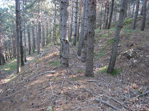 |
The hillside is terrace-shaped, as if this used to be agricultural land. We - more or less - stay at the same altitude while heading north until we reach a fence which is the border. At the other side - on French soil - we descend along the fence on the steep hillside. At the bottom we cross the stream and climb a bit to the left to reach |
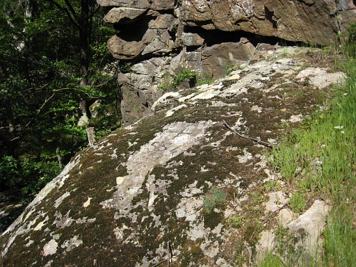 |
Bm554 |
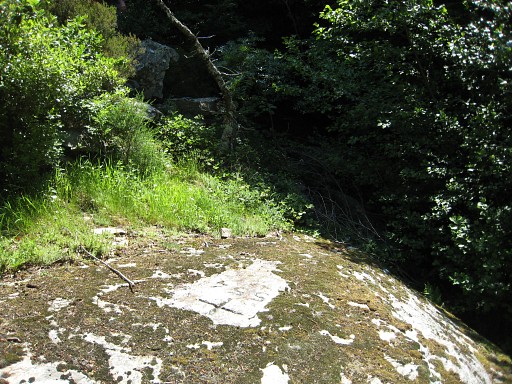 |
Bm554 |
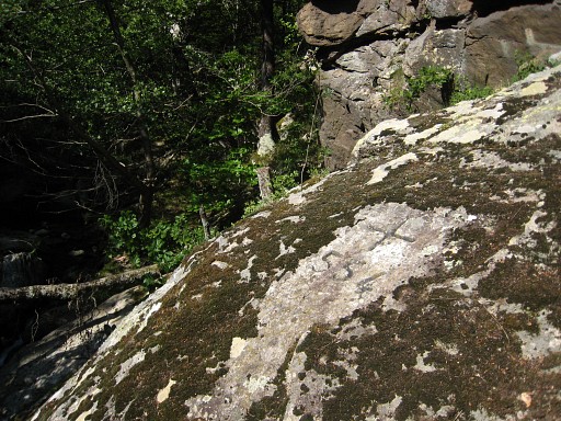 |
Bm554 |
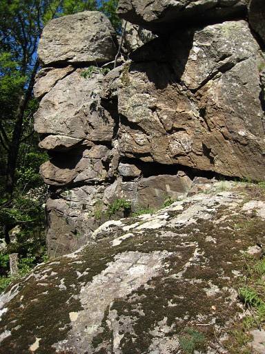 |
Bm554 |
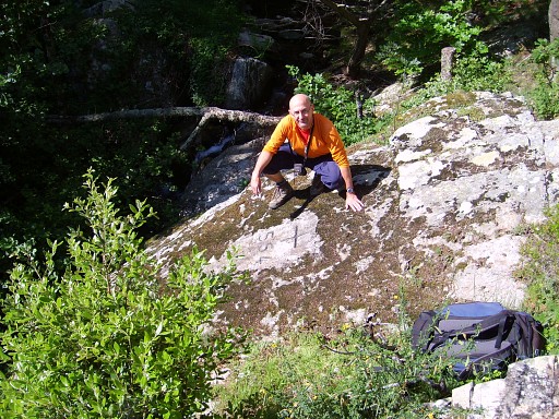 |
Bm554 Then we try to follow the stream upstream but after a while that's too difficult. We climb - after some searching - the ridge which is the borderridge with a fence. We climb along the fence uphill and join a red waymarked path going up untill we reach a sort of viewpoint. There's a birdwatcher who tells us that we can descend along a waymarked trail directly to Las Salinas. (photo by Jan-Willem) |
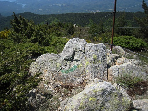 |
While waiting for Jan-Willem, I spot along the fence this cross without a number. We are looking SE. |
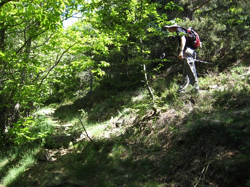 |
From the ridge we follow that vague
path (red waymarks) until we reach a distinct path where we go left as
the bird-watcher told us. If you go right, the path seems to climb to the Pic de Salinas. This picture: Jan-Willem has almost reached the distinct path and has to turn left. |
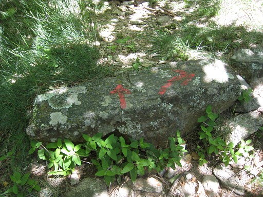 |
In the GRPdesBF-direction however, you're heading uphill. This is the sign on the path when you come from Las Salinas. Here you have to turn right, going uphill on the trail we just followed from above. |
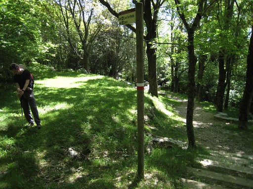 |
And this is a signpost close to Las Salinas, |
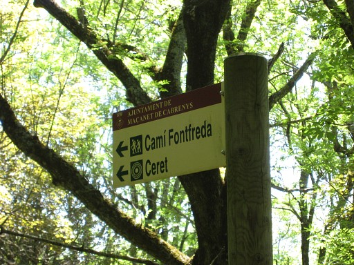 |
pointing the direction we came from. |
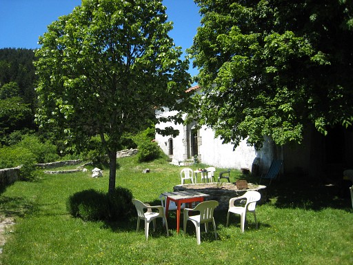 |
We take a look in the refuge in the north-side of the building of Las
Salinas. We think we survived in this refuge a CO2 suffocation on 7 april 2008 But nowe wee lunch in the pleasant garden of Las Salinas, a monastery-like building. |
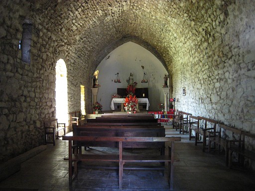 |
with even a nice chapel. |
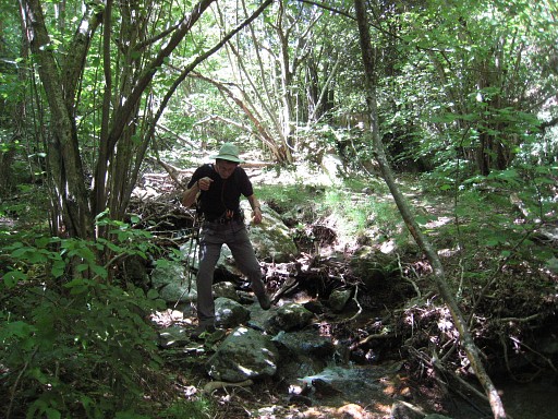 |
Back on the track. Now we try to descend along the stream to see if it's possible to reach bm554 this way. There's no path and it's sometimes wrestling through the bush, shifting from one side of the stream to the other, whatever is most convenient. At a certain point we reach - surprise - a red waymarked crossing of the stream. |
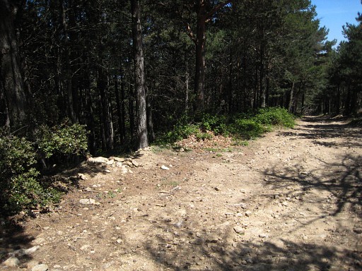 |
I try that red waymarked path uphill to the south and reach the dirtroad from Las Salinas to Col de LLy. The entrance of the path from the dirtroad is quite inconspicuous. |
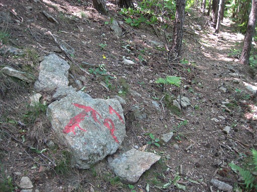 |
On my way back to the stream. This is apparently a hunter's trail, pointing to the P1-post. |
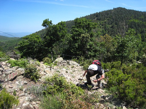 |
We continue on the red trail on the other side of the stream to see where it leads to. It brings us - heading east - back to the borderridge with the fence. This picture: Jan-Willem squatting to get underneath the fence. We descend and try to re-walk our route from this morning but can't find it back and get stuck. It's better to follow the fence downwards on the French side untill the stream. Quite steep in the end. Then: cross the stream, continue a bit on the other side to the right untill you can cross again. |
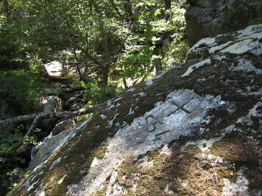 |
Again, it's takes a little climbing to bm554. |
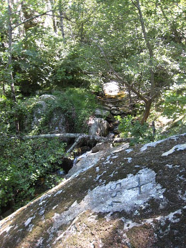 |
Bm554 |
 |
We cross the stream again, more or
less opposite of bm554. Then we have to climb very steeply parallel of
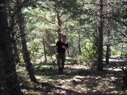
the borderfence uphill. This picture: Jan-Willem sweating uphill. |
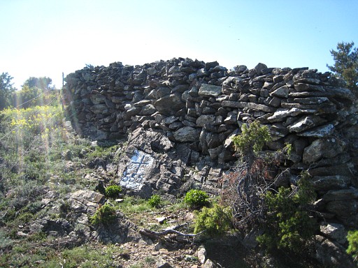 |
Navigation is however easy: along the borderfence at your left. Bm555 is - as it were - protected by a wall. I suppose a wall built by hunters to hide after. |
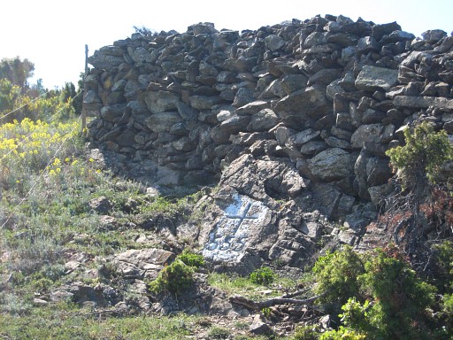 |
Bm555 |
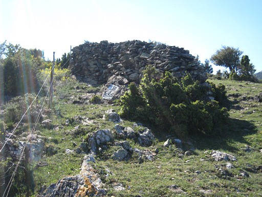 |
Bm555 |
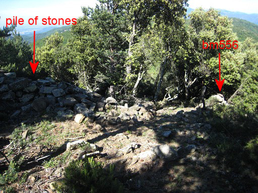 |
While Jan-Willem takes a break in the shade, I descend further to bm556. It's place is not obvious. You'll reach a pile of stones along the fence and might expect the bordermarker there. But actually bm556 is just on the other side of the fence. |
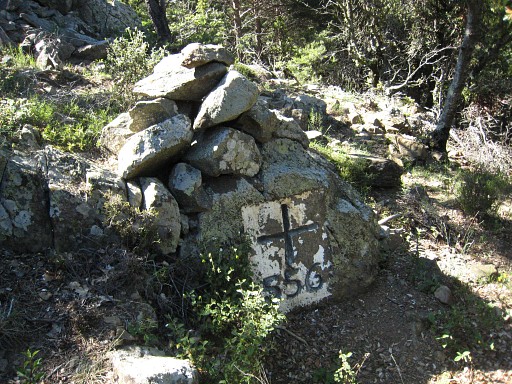 |
Bm556 |
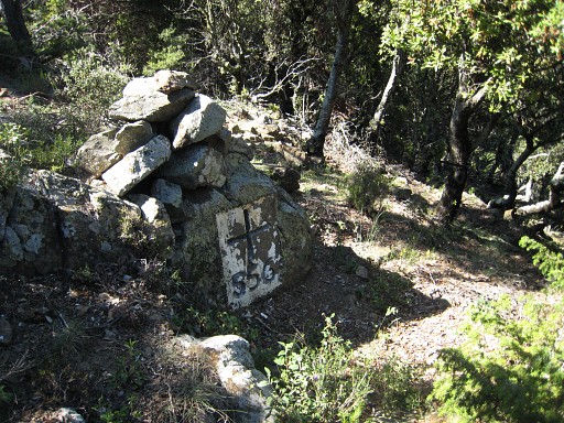 |
Bm556 |
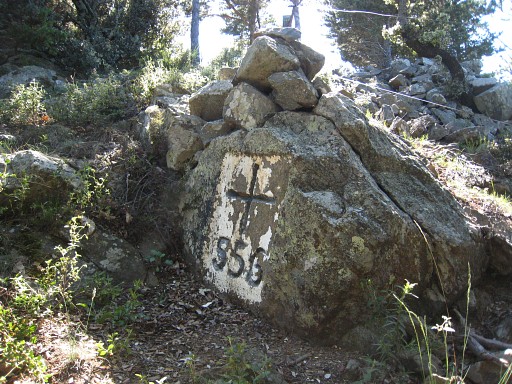 |
Bm556 |
 |
And we descend further to bm557 and Las Illas. |
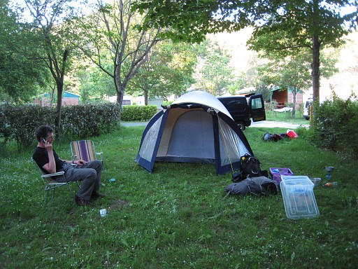 |
We drive to St-Laurent-de-Cerdans to the camping municipal where we arrive 19.30. This will be our basecamp for the next 5 days. |
 previous
trip next
trip previous
trip next
trip 
| |
