|
The
bordermarkers of the Pyrenees : all my trips
 |
|
| - friday 11 september
2015 - Through Andorra - day 2 |
 |
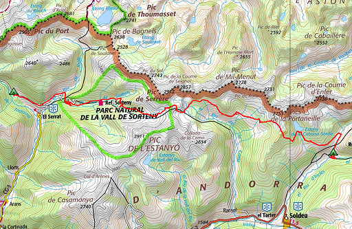 |
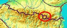
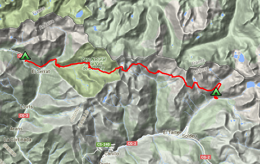
track-20150911.kml (click to open this trip in Google Earth or copy link to Google Maps; click right on this link to download gpx-version Summary: part of a 10-days trip to the Pyrenees, mainly meant as a reconnaissance for the GRPdesBf. This day is one of a week of backpacking from Guzet-Neige to Puigcerdà, traversing Andorra. Today: continuing the traverse of Andorra Weather: sunny in the morning, cloudy and cool afterwards |
 |
For
explanation of
the gps-coordinates and other cartographic backgrounds: see the cartography-page The gps-track has not been manually corrected which explains the inaccuracy and misalignment at some points. GPS - 22,9 km - max H = 2723m - elevation gain: 1535m - time: 10:35h Started at 7:15, break 12:30 - 13:30, finish at 18:00 = 9:45h net walking time |
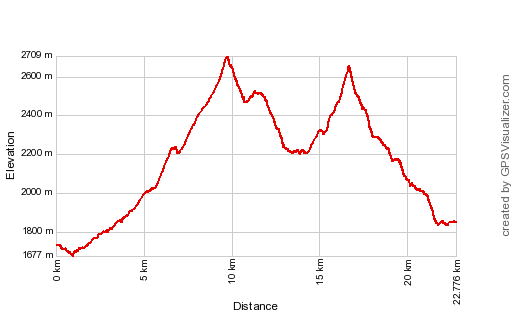 |
According to Gps-Track-Analyse - distance : 23.4 km - cum. elevation gain : 2103m - cum. elevation loss : 1983m - total elevation: 4086m - altitude maxi : 2709m - altitude mini : 1677m - altitude average : 2122m |
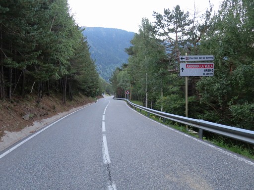 |
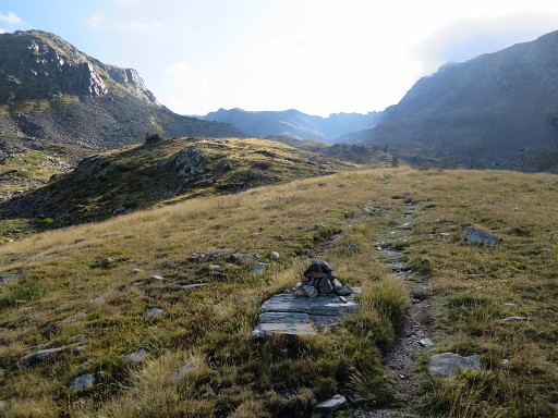
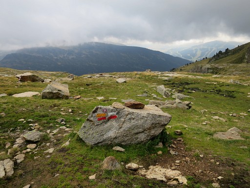
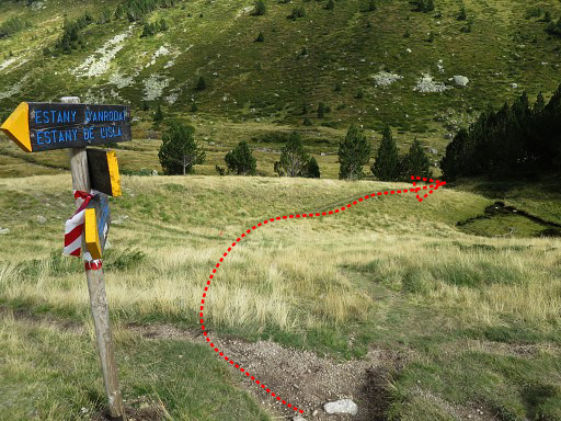
I rise up early: at 6am to start walking at 7.15. From my bivouac-spot I pick up the tarmac road towards El Serrat |
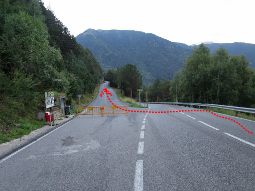 |
and take this side-road which |
l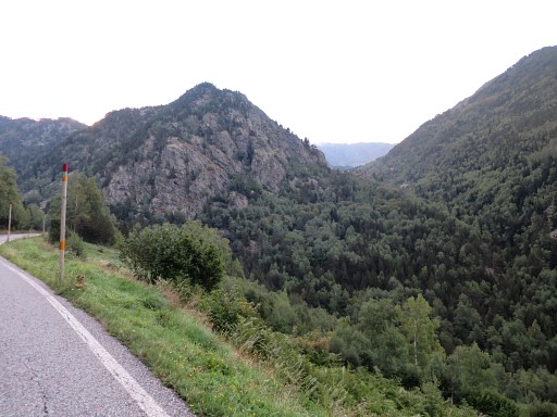 |
will lead you towards these mountains. |
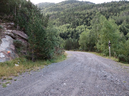 |
The road becomes a dirtroad |
 |
and apparently we are now on the circular Andoran GRP1-trail.. |
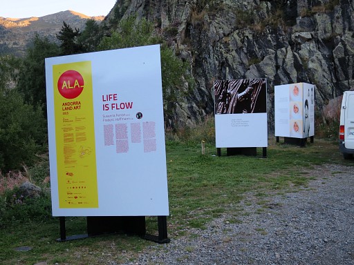 |
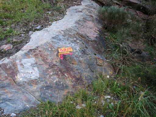
In between this art-project "Life is flow" with inspiring quotes |
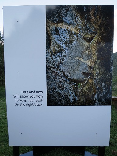 |
like this one. |
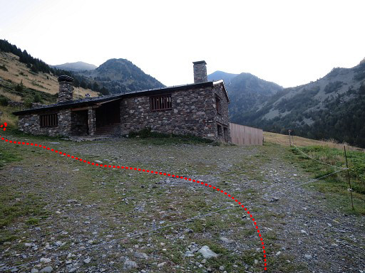 |
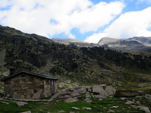
Then - 1.30h after my start - I arrive at the Refugi de borda de Sorteny. The trail continues behind the refuge. |
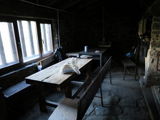 |
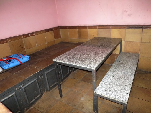
The refuge has this room available for backpackers. |
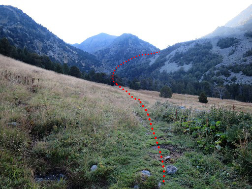 |
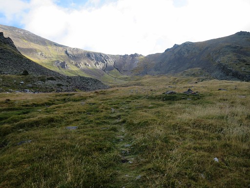
Continuing on the trail to the end of the valley and then climb over a pass |
 |
to reach this upper valley. You can spot a simple cabin to the right |
 |
which requires a little detour. There's stream next to it. |
 |
Continuing E |
 |
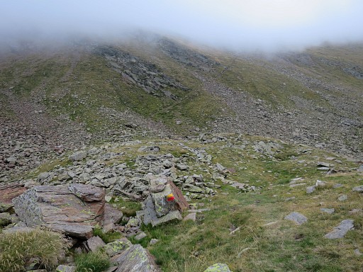
to the upper end of the valley to cross the pass of Collada de Meners. Collada de Meners is a 2h walk from the Refugi de borda de Sorteny |
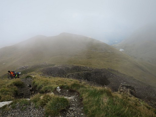 |
At the other side it's a bit foggy |
 |
and more cloudy. |
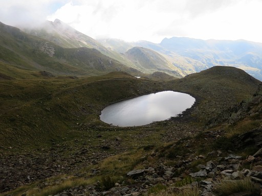 |
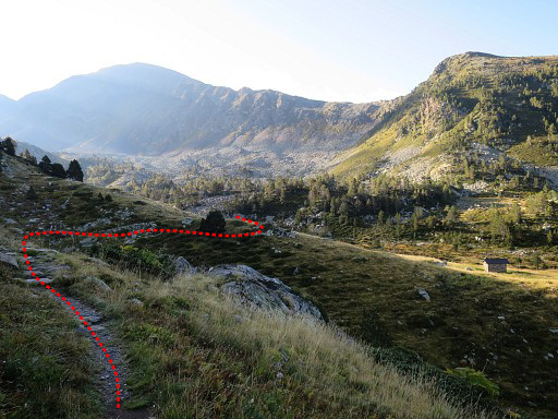
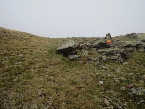
The trail descends and passes this small lake |
 |
and brings us to this bifurcation. The Refugi de Coms de Jan is my next goal, I can still stick to the GRP1. |
 |
a long way along the mountain slope |
 |
untill it descends to |
 |
the nice Refugi de Coms de Jan. It took me 1.45h from Collada de Meners to get here. Streaming water available behind the cabin. The continuation from the Refugi is at first a bit vague But just head straigh E for 150m to a tiny lake and you will pick up the waymarks again. |
 |
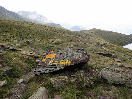
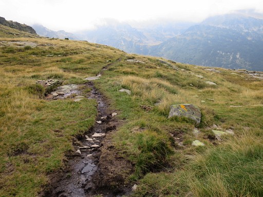
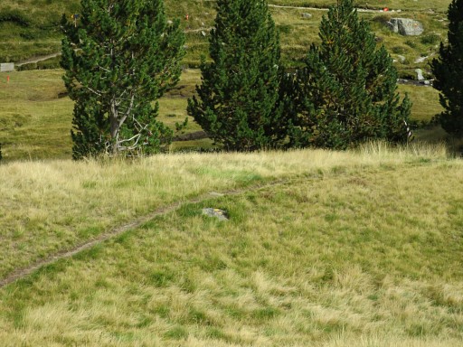
The trail climbs again and it gets foggier uphill. Note: still following the yellow/red waymarks of the GRP1-trail. |
 |
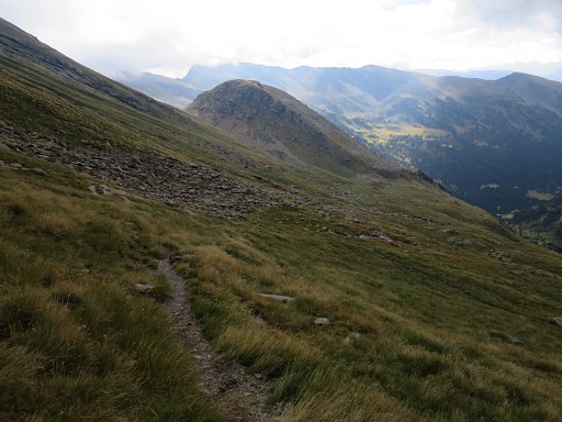
The trail climbs to a mountain ridge and after 1.30h from the cabin of Jan, I reach that ridge. |
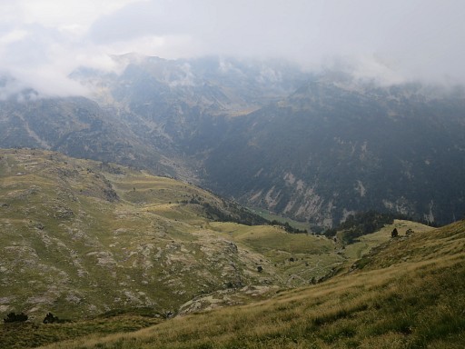 |
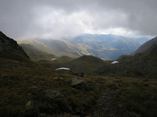
and from there you can spot the valley SE to descend to. But there's no direct descent. |
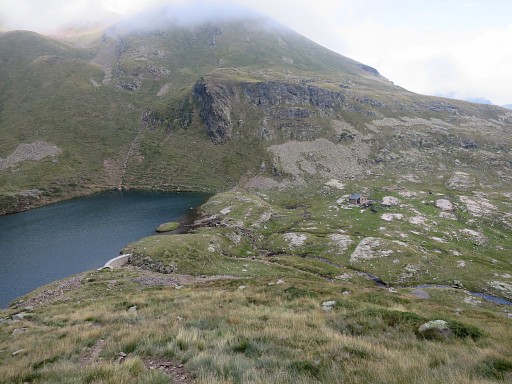 |
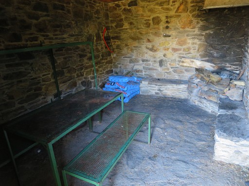
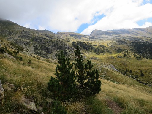
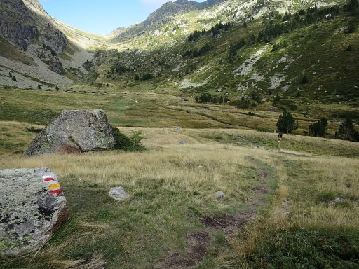
The trail brings me first to the lake of Estany de Cabana Sorda which takes 1h from the previous mountain-ridge. |
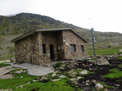 |
with its rather spartan inside. |
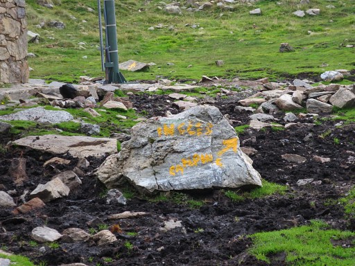 |
From here yellow waymarks appear pointing to the hamlet of Inglès in the valley. It will take me 1.30h to get there. |
 |
The inside of the cabin is not very welcoming. |
 |
Three sort of waymarks now combine |
 |
its efforts to lead me around the mountain slope |
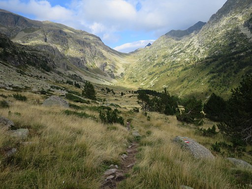 |
to this valley. The mountain pass at the end is Port d'Incles and is at border with France. |
 |
But I don't have to go that far. |
 |
I have to make a bend SE by taking this shortcut |
 |
over this path |
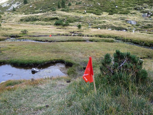 |
- passing these streams (the flags were there temporarily for a trailrunning-contest) - to a trail which descends SW. The GRP1-trail climbs however uphill towards the lakes of Juclar and its Refuge. But that's a detour for the GRPdesBf. I descend SW along the trail to |
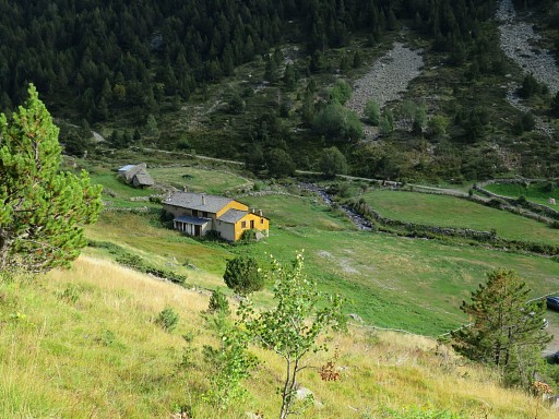 |
the hamlet of Inclès. Down in the valley I spot this building where I expected a camping to be. |
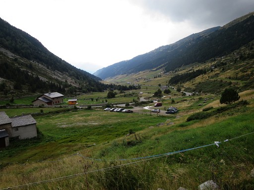 |
View further SW to Inclès. |
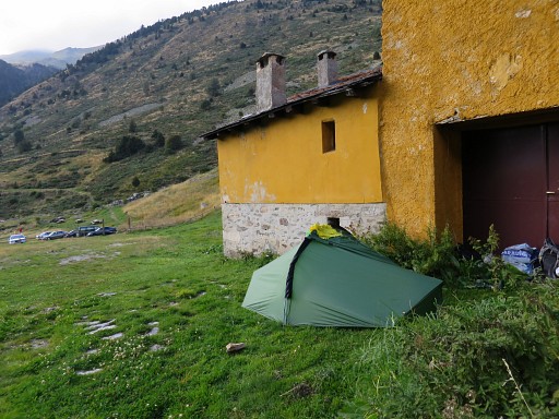 |
The camping however is closed, seemingly since years. There are no alternatives for a bivouac in the direct neighbourhood. So I stay here, close to the building and a dripping watertap. It's windy and fresh. |
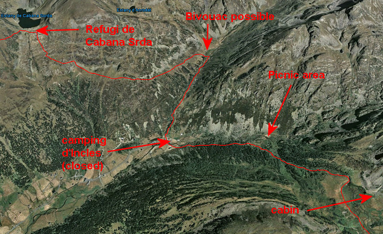 That means that your overnight bivouac around Incl1es requires some planning. This map shows the possibilities. There's one other possibility: camping de Ferrosins which takes a detour of ± 2 km SW along the road towards the village of Soldeu and about 1km before Soldeu itself. |
|