|
The
bordermarkers of the Pyrenees : all my trips
|
|
| -
tuesday 25 july
2017 - Transfer Dantxarria - St-Étiènne-de-Baïgorry  previous
trip
next
trip previous
trip
next
trip  |
 |
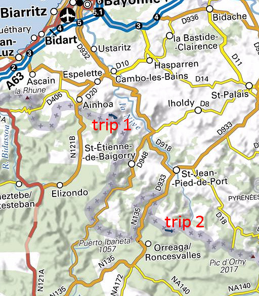 |
Summary: part of 13 day-trips in
the Pyrenees, covering various
targets from the Basque country up to Llivia. Today: two short trips while and after my transfer to St-Étiènne-de-Baïgorry: 1. bm84 (forgotten 2 days ago) 2. redoing bm200-205 Weather: chilly, windy, cloudy |
| Trip 1 |
Bm084 |
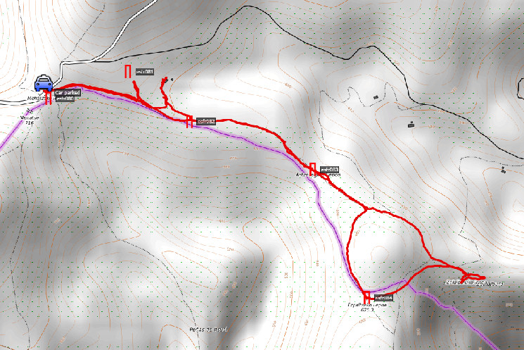 track-20170725-trip1.kml
(click to open this trip in Google Earth or copy link to Google Maps; click right on this link to download gpx-version). The gps-track has not been manually corrected which explains the inaccuracy and misalignment at some points. For cartographic backgrounds: see the cartography-page According to Google Earth: 4,4km, max-height 724m, min-height 610m Start 12:18 Finish 13:33 |
|
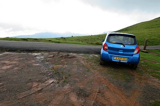 | I break up at the camping in Dantxarria en head for the camping municipal in Saint-Étiènne-de-Baïgorry. It's is dry again and the hills and bordermarkers are waiting. I drive uphill to Col de Méhatché (bm080) where I was on sunday. I then forgot bm84 and that's the goal for this short trip. |
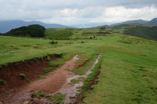 | It's windy and chilly. I don't photograph bm080-083 again, having done them two days ago. But this picture shows the spot where you have to leave the GR10 trail and go NE or N for ± 100m |
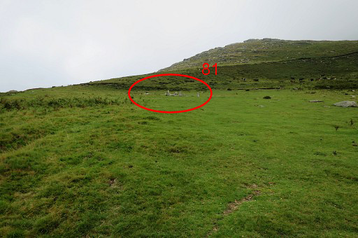 | to get to this circle of rocks with bm081. You can't see them from the GR10-track, you have to climb a bit uphill NE of N to distinguish them. Bm081 is within 100m of the main GRPdesBF-route and thus makes part of it (requiring no variant). |
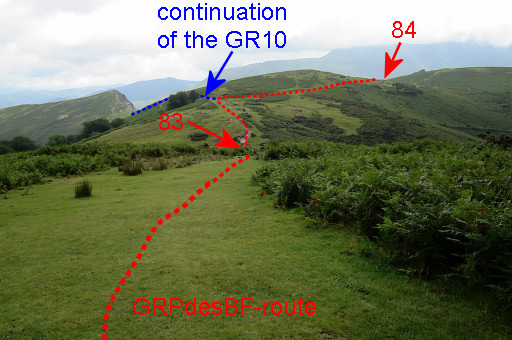 | Continuing on the GR10 and beyond bm082 this view ahead. It shows it all. The GRPdesBF-route makes a detour off the GR10 to make a circle around the hilltop to cover bm084 |
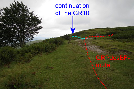 | Having passed bm083 and almost at the bifurcation of GR10 and GRPdesBF |
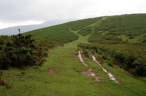 | Almost at bm084 |
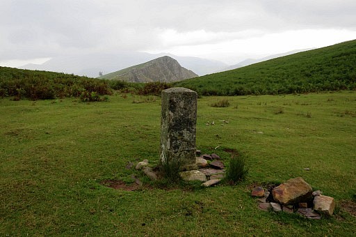 | Bm084 Looking in the direction to continue to merge again with the GR10 Bm084 stands (approximately) where a stream starts (=the borderline), soon descending very steeply. |
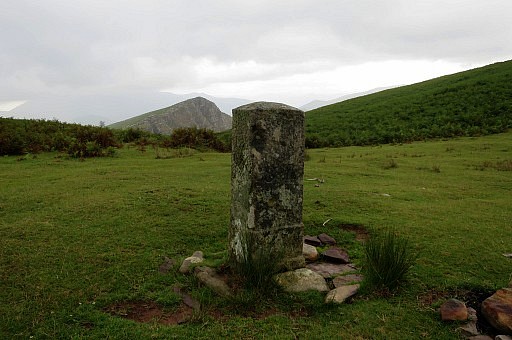 | Bm084 |
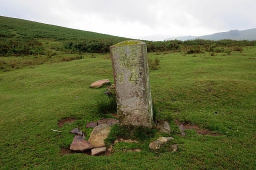 | Bm084 |
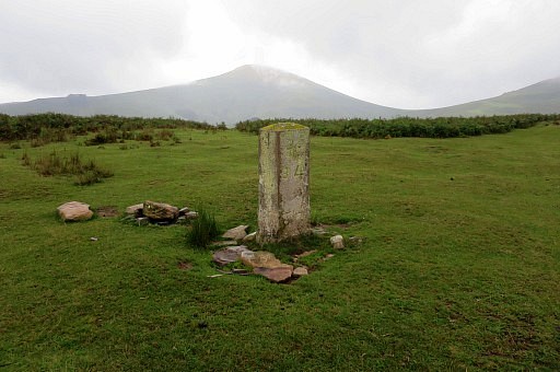 | Bm084 |
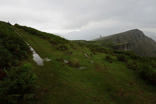 | I complete the circle to get back at the GR10. I want to have a look at the steep half-circle descent into the valley. |
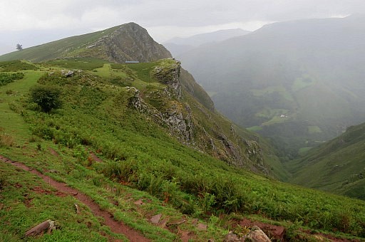 | This is the steep hillside where the GR10 descends. |
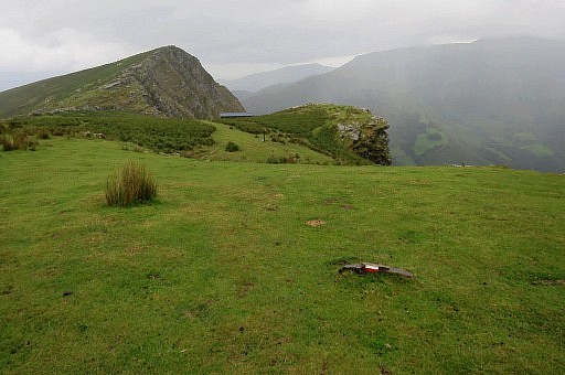 | There is a barn in the background but meant for cattle. |
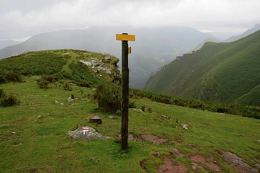 | The signpost tells you that it is 2.10h to Bidarray and |
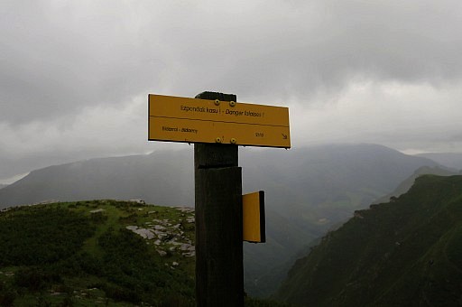 | it warns you: "Danger falaises!" |
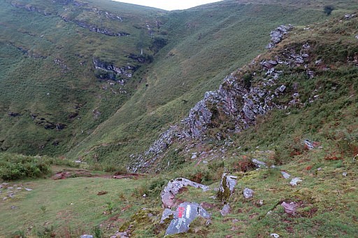 | It
frightened me on my first descent in 1996 or 1997 but I can't remember
something special when Jan-Willem Doomen and I descended on 20090409 |
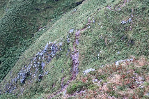 | I see down below cables attached to the rocks for safety. |
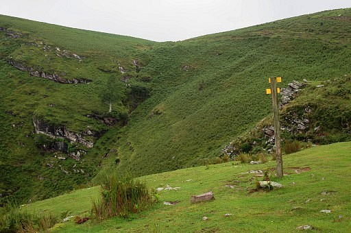 | This picture: you can spot the ravin-like stream-descent originating from the spot of bm084. |
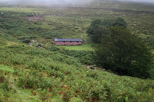 | I return and check two barns a bit off the GR10 |
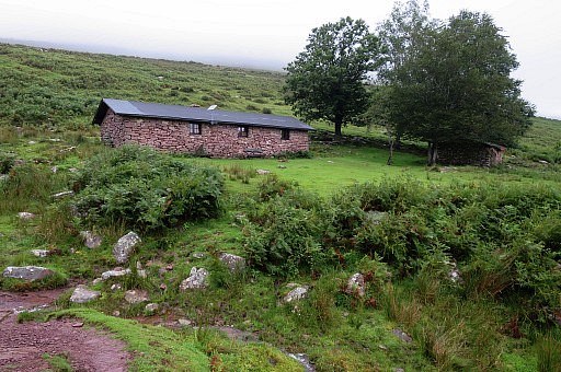 | which are just barns and no refuges or shelters. Back to the car and to the camping in St-Étiènne-de-Baïgorry which is a crowded family-camping in this holiday season. |
| Trip 2 |
Bm200-205 |
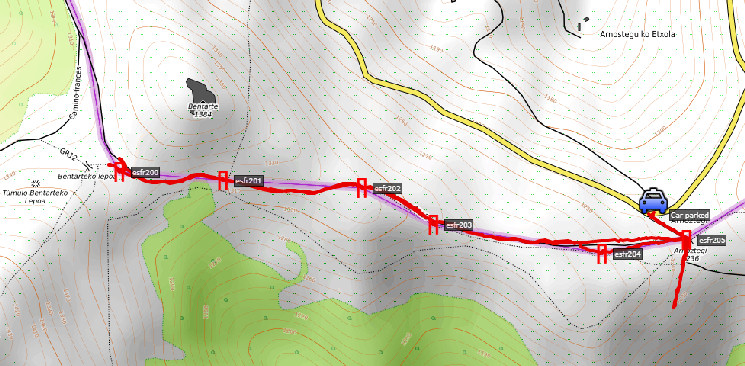 track-20170725-trip1.kml (click to open this trip in Google Earth or copy link to Google Maps; click right on this link to download gpx-version). The gps-track has not been manually corrected which explains the inaccuracy and misalignment at some points. For cartographic backgrounds: see the cartography-page According to Google Earth: 4,4km, max-height 724m, min-height 610m Start 12:18 Finish 13:33 |
|
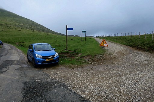 | In the afternoon, I drive a long way up the hills to bm205 above Saint-Jean-Pied-de-Port. I pass some pilgrims making their first steps towards Santiago-de-Compostella like I did in 1997. I visit bm200 to 205 in chilly and cloudy weather, having decided to 'do' all bordermarkers twice with at least one year time in between. |
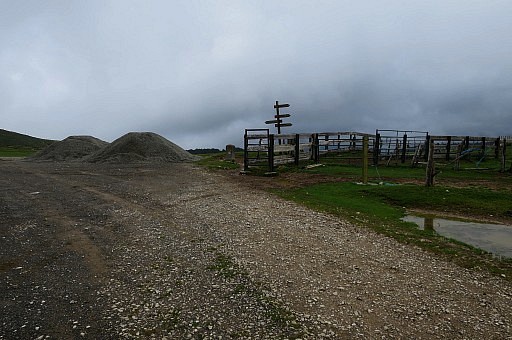 | The spot of bm205 at Col d'Arnostéguy |
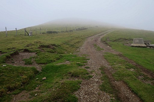 | but I first walk along a dirtroad/track to bm200. |
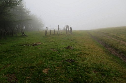 | Arriving at the small fenced meadow where bm200 stands to the left againt the foreststrip. |
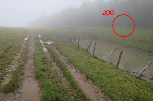 | Same spot but seen froom the other side |
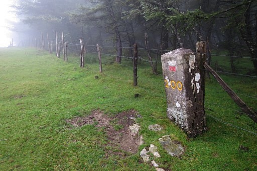 | Bm200 |
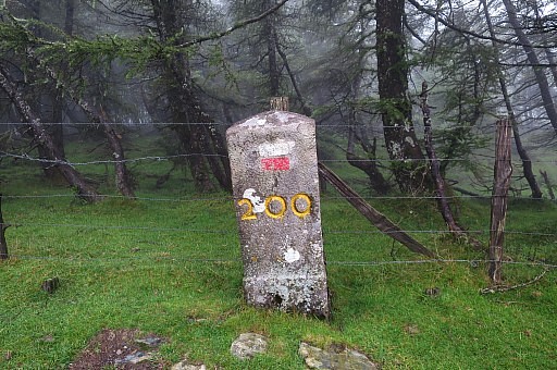 | Bm200 |
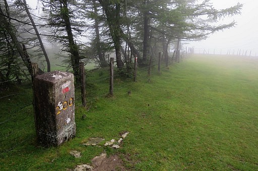 | Bm200 |
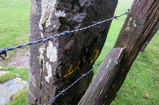 | Bm200 |
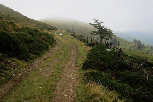 | Now returning, the top of bm201 is visible at roadside |
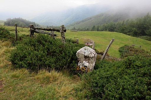 | Bm201 |
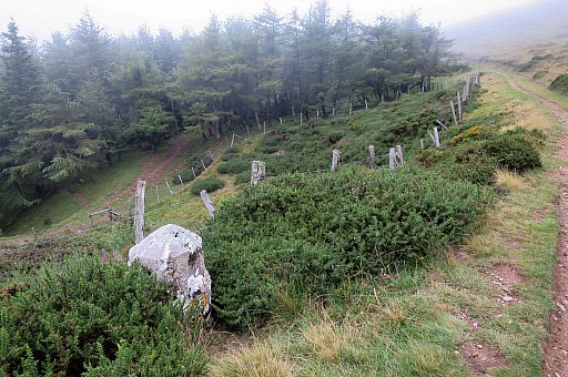 | Bm201 |
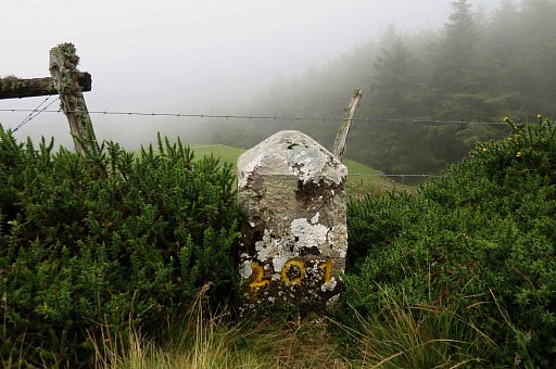 | Bm201 |
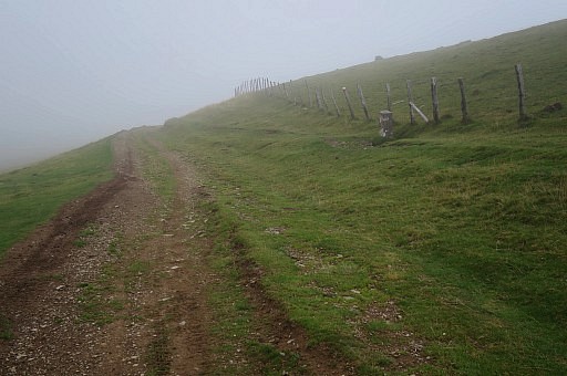 | Bm202 in sight |
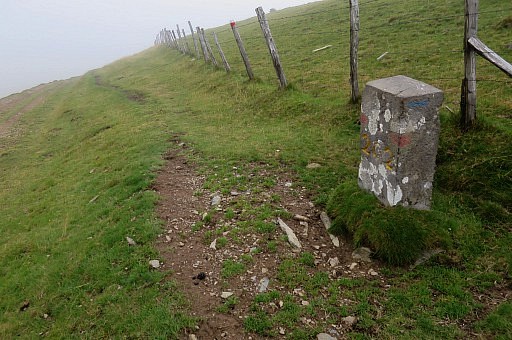 | Bm202 |
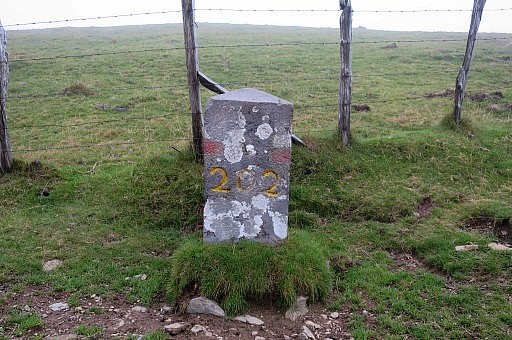 | Bm202 |
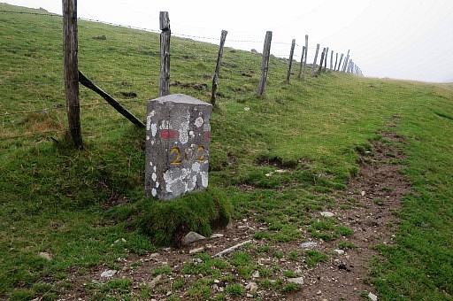 | Bm202 |
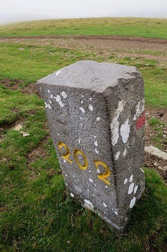 | Bm202 |
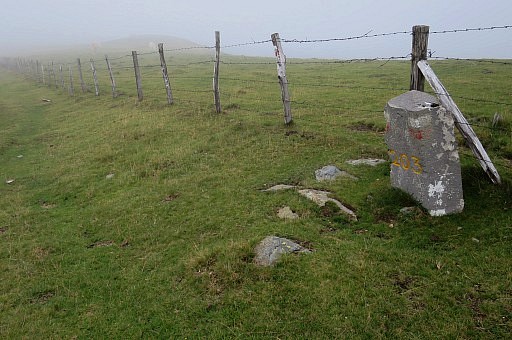 | Further on: bm203 |
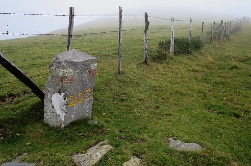 | Bm203 |
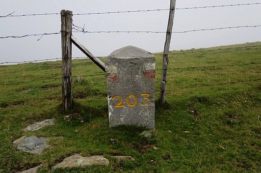 | Bm203 |
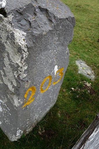 | Bm203 |
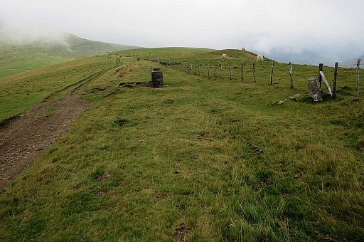 | Bm203 |
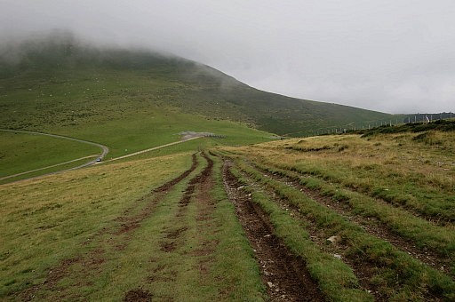 | Bm204 to the right |
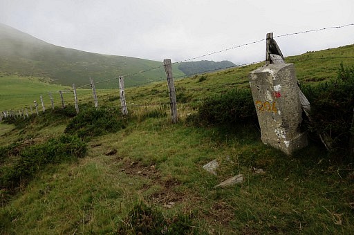 | Bm204 |
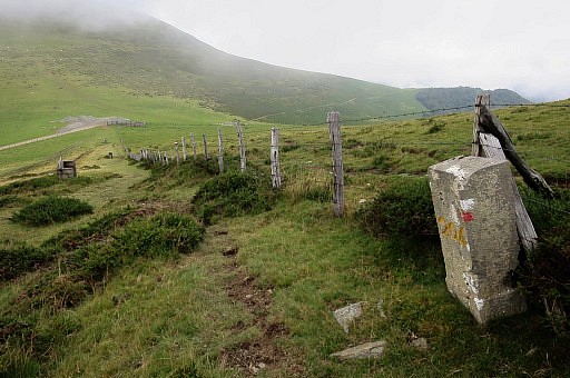 | Bm204 |
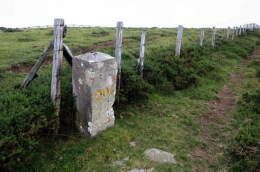 | Bm204 |
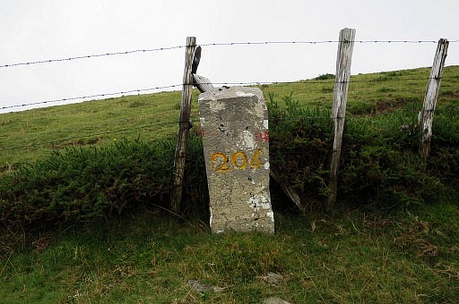 | Bm204 |
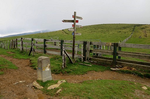 | Bm205 at Col d'Arnostéguy |
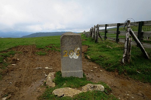 | Bm205 |
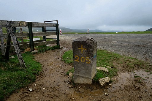 | Bm205 I regret afterwards not having done bm199 which I have photographed already 3 times but all in 2009. Perhaps tomorrow. |
previous
trip
next
trip  |
|
