|
The
bordermarkers of the Pyrenees : all my trips
 |
|
| -
wednesday 26 july
2017 - Exploring routes bm206-221 |
 |
 |
Summary: part of 13 day-trips in
the Pyrenees, covering various
targets from the Basque country up to Llivia. Today: Trip 1: redoing bm211 to 220, in particular checking the route between bm216 and bm220 Trip 2: redoing bm206 to 210 Trip 3: short trip to bm198-199. Weather: nice |
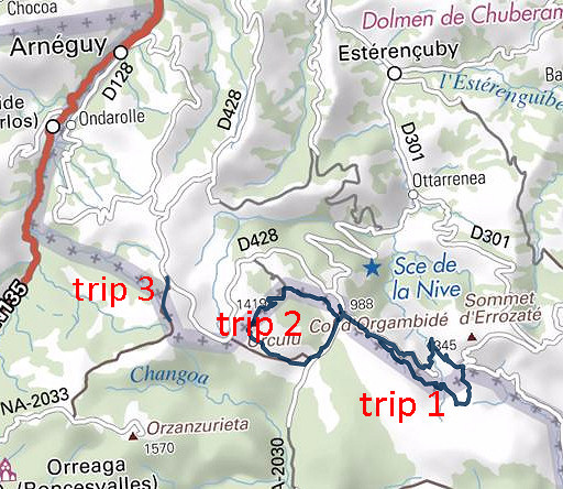
| Trip 1 |
Bm211 to 220 |
 track-20170726-trip1.kml
(click to open this trip in Google Earth or copy link to Google Maps; click right on this link to download gpx-version). The gps-track has not been manually corrected which explains the inaccuracy and misalignment at some points. For cartographic backgrounds: see the cartography-page |
|
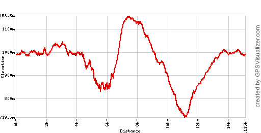 |
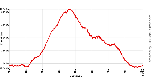
According to Google Earth:
13,1km, max-height 1149m, min-height 734m, elevation: +854m -854m Start 9:51 Finish 16:08 |
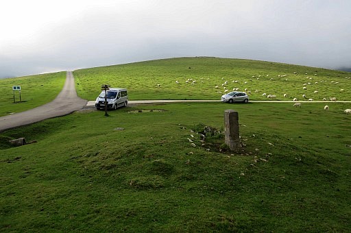
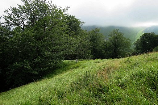
 | Starting near Col d'Orgambidé |
 | and first redoing bm211 |
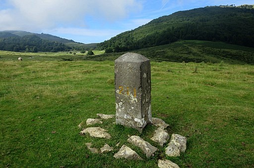
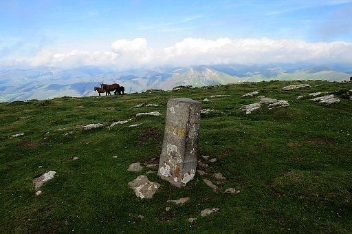
 | Bm211 |
 | Bm211 |
 | Towards bm212 a circle of rocks |
 | Bm212 |
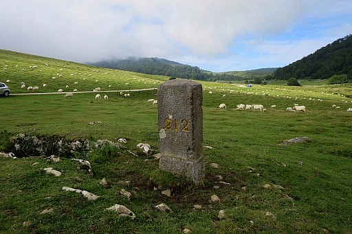 | Bm212 |
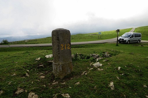 | Bm212 |
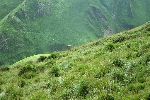
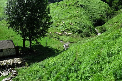
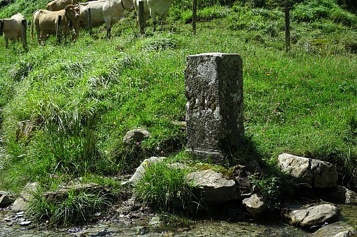
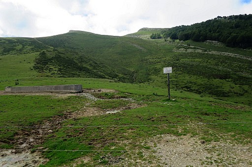
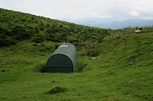 | Just NE of it this shelter |
 | Simple but sufficient, getting fresh water might be an issue. About 500m straight to the E a stream starts (on the maps) but no idea if it contains running water. But 1,5km SE along the road there is a stream crossing the road. |
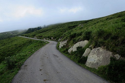 | Taking the road going SE, bm213 |
 | is visible from the road. |
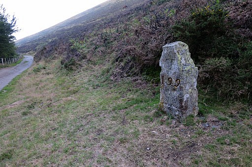
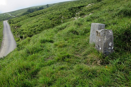 | Bm213, an old and a new marker |
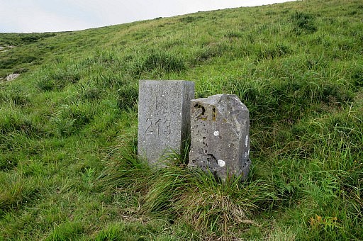 | Bm213 |
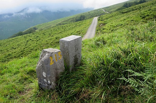 | Bm213, no idea why a new one has been placed. |
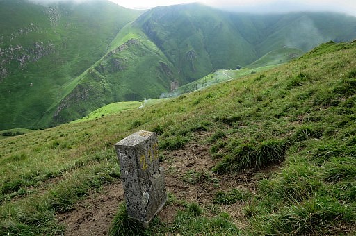
 | I continue on the road until bm214 comes in sight |
 | Zoom-in to bm214 . |
 | Bm214 |
 | Bm214 |
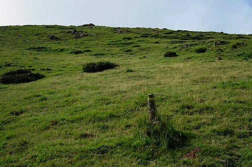
 | Bm214 From bm214, I continue on the the hillside. There are no trails but various cattle trails help. |
 | Approaching bm215 |
 | Zoom-in to bm215 |
 | Bm215 |
 | Bm215 |
 | Bm215 |
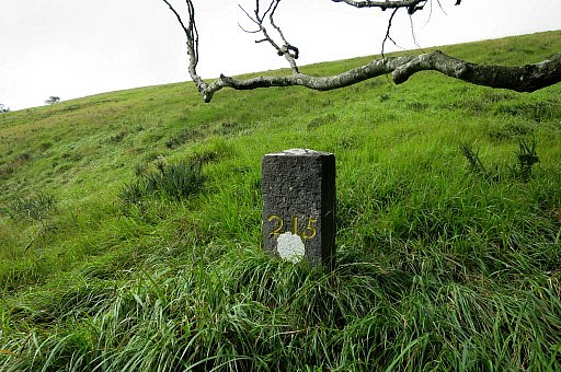 | Bm215 |
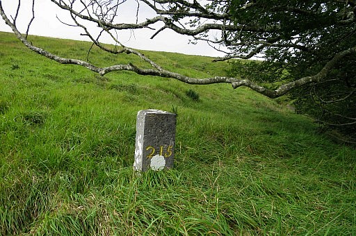 | Bm215 If you descend here to the road, there's a stream crossing the road. |
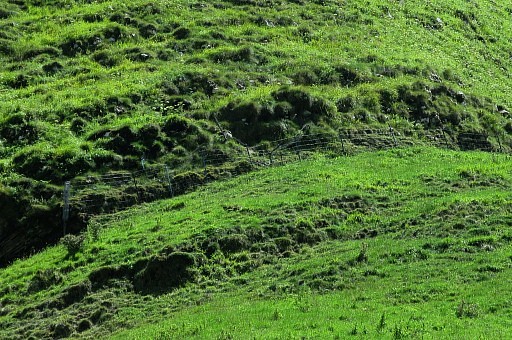
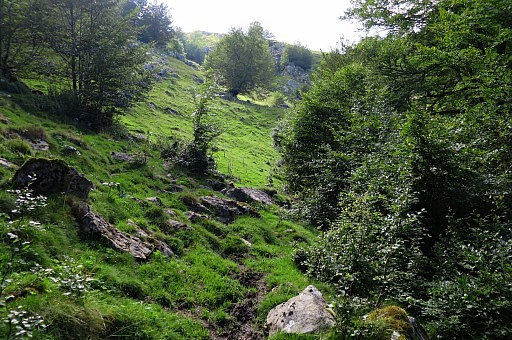
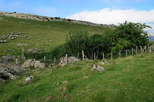
 I continue above the small forest
| |
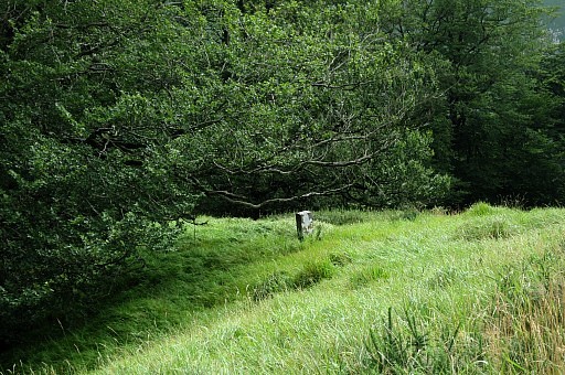
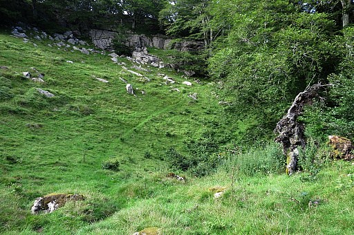
 | Bm216 is only visible when you get over this rim. |
 | Bm216 |
 | Bm216 |
 | Bm216 |
 | Bm216 |
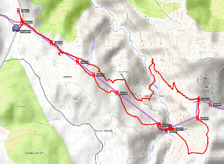
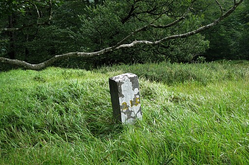
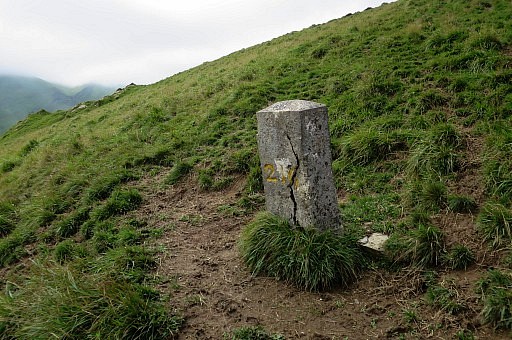
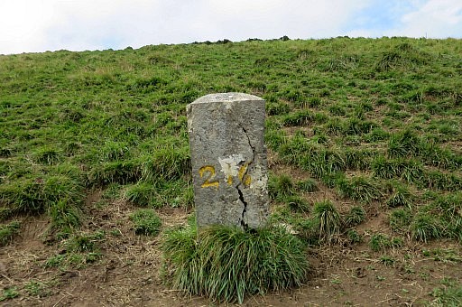
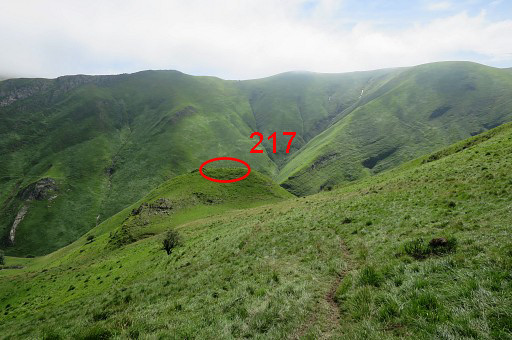 | Continuing to bm217 |
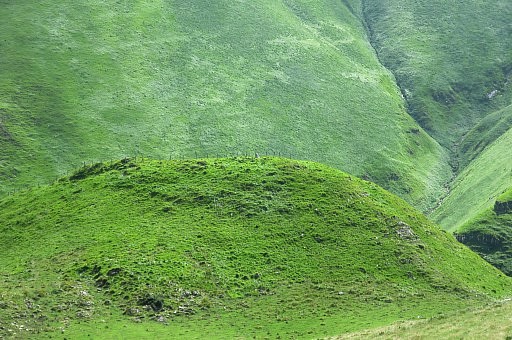 | Zoom-in to bm217 |
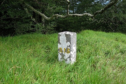
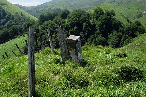 | Bm217 |
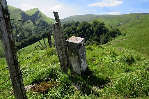 | Bm217 |
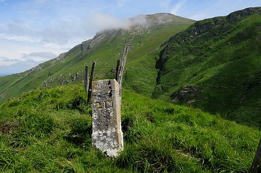 | Bm217 |
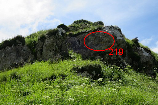
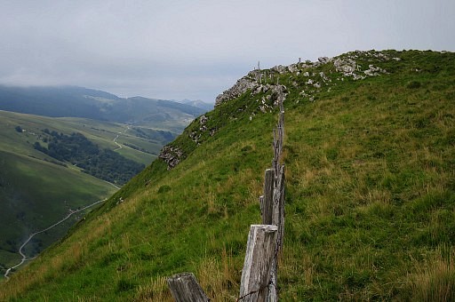
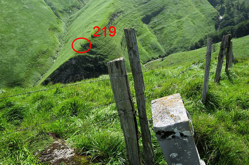 | Bm217 with the spot of bm219 |
 | And the ridge above it to climb to the hillside towards bm220. You can see that there are two ascents possible to bm219 |
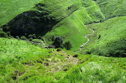
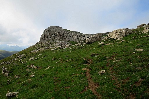
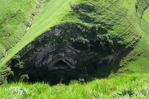 | The Grotto Harpea |
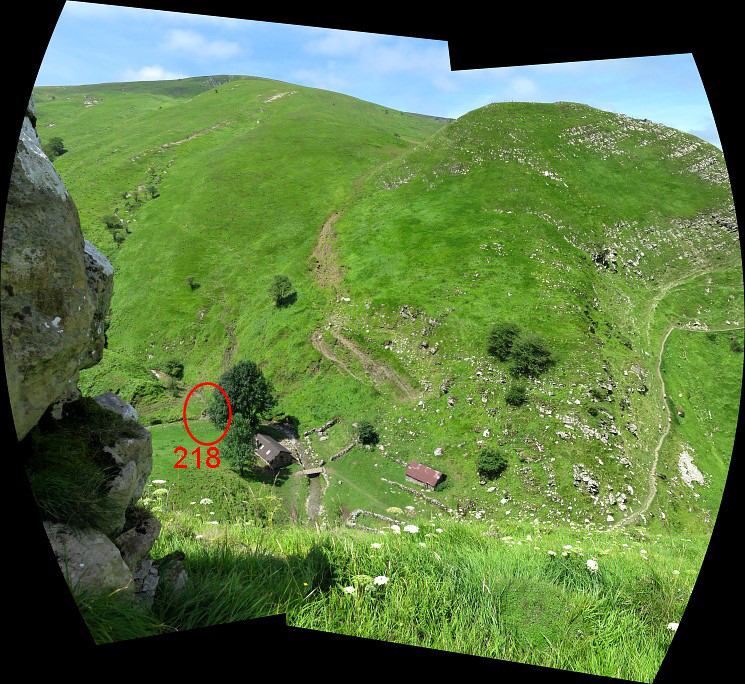
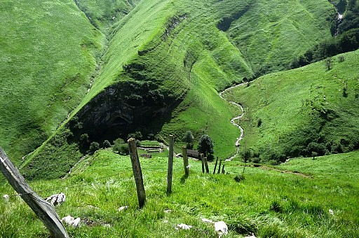 | The descent from bm217 to 218 is steep but manageable. |
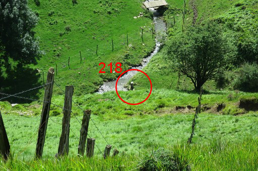 | Zoom-in to bm218 |
 | A cattle track is helpful in descending. |
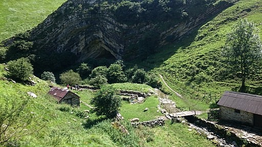 | Shephers's cabin with Grotto Harpea. |
 | It is more practical to do bm218 directly from this side in stead of a detour around the shepherd's cabin |
 | Bm218 |
 | Bm218 |
 | Bm218 |
 | Bm218 |
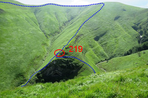
 | The climb to 219 via the most obvious (most direct) route is a problem because of fences and a shepherd in the neighbourhood. I have to find another way to get up. |
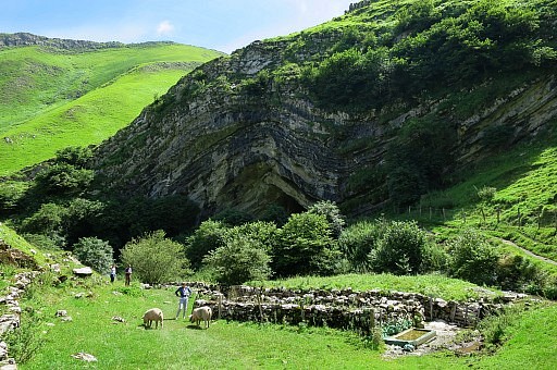 | I first visit the Grotto |
 | which is a popular destination |
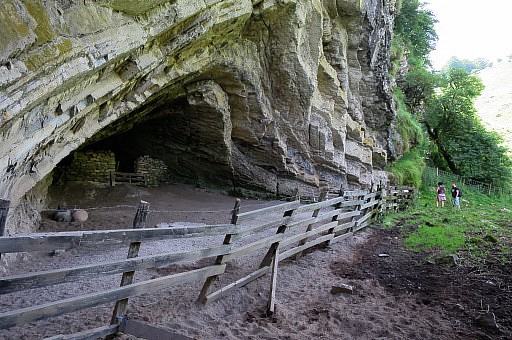 | but serves as a pig's shelter. I find no access to the hilltop above the Grotto from this side. |
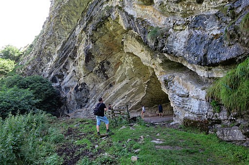
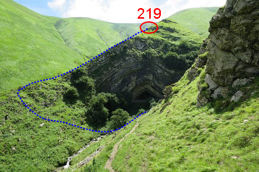 | Then I walk up the trail leading to the road and (this picture) look back. I return, jump over the stream and untertake a steep climb to the narrow ridge which leads to bm219. The blue line shows this access. |
 | I found the climb to the ridge a bit scary, not easy to undertake with a heavy backpak. From the other side, the climb is shorter and less perilous although there is tricky passeage on top of the Grotto. |
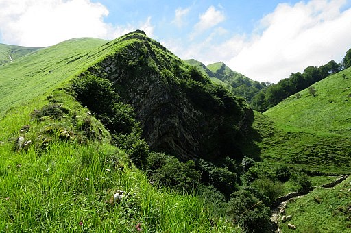
 | Once on the ridge, the continuation is easy. |
 | Zoom-in |
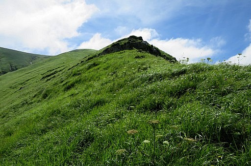
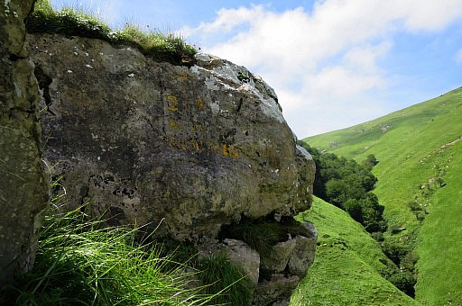 | Bm219 |
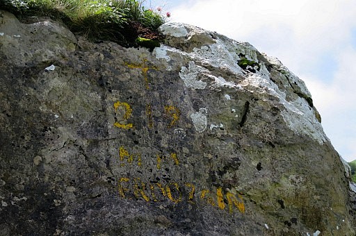 | Bm219 |
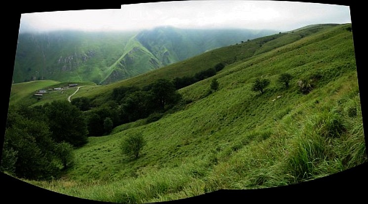
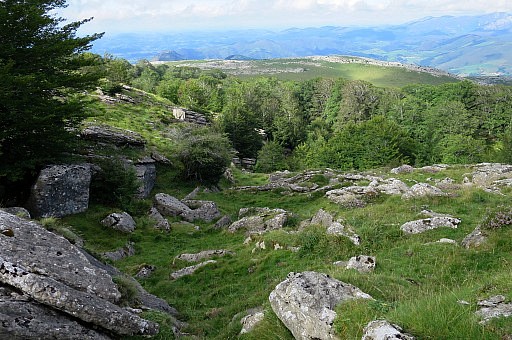
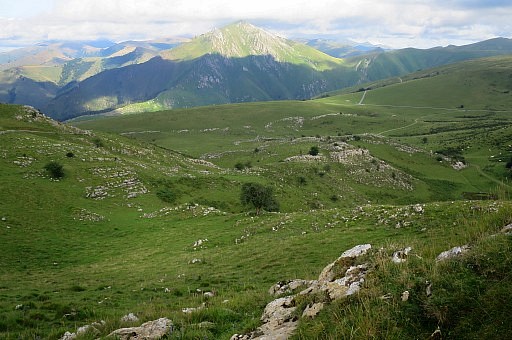
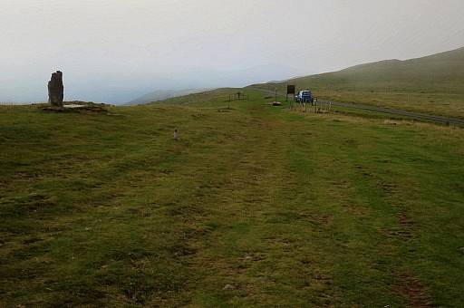
 Panorama-view from bm219
| |
 | Bm219 |
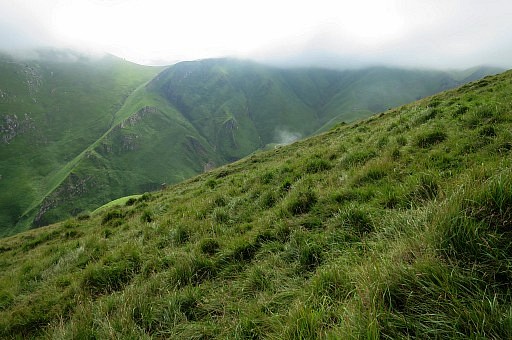
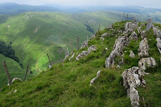
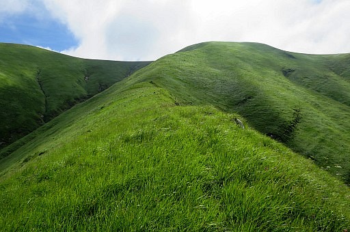 | The climb from bm219 over de hillridge to the fence above is tough but presents no problems. There is a vague trail which helps in plodding through the grass. |
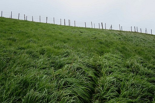 | Pass the fence and proceed to left. |
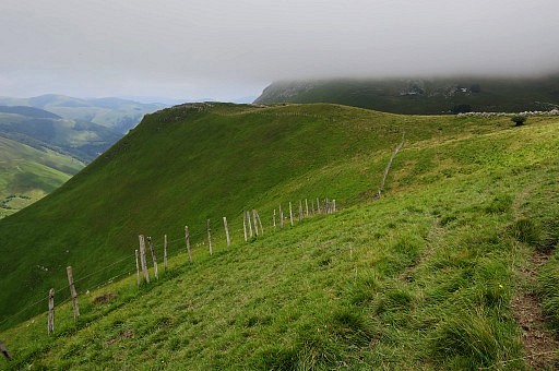 | It's better to keep the fence 10-20m below you, that's easier, stay on the same elevation. |
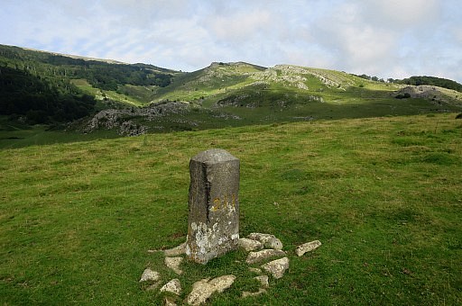
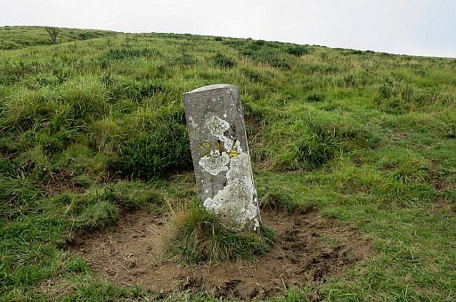
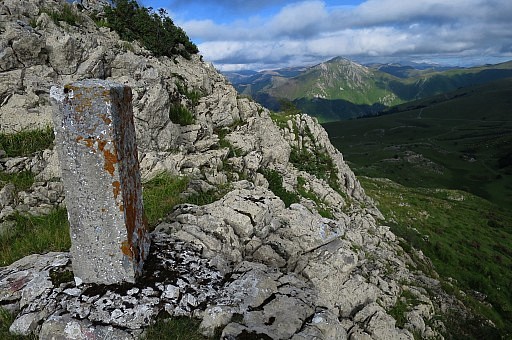
 | Getting close to bm220 |
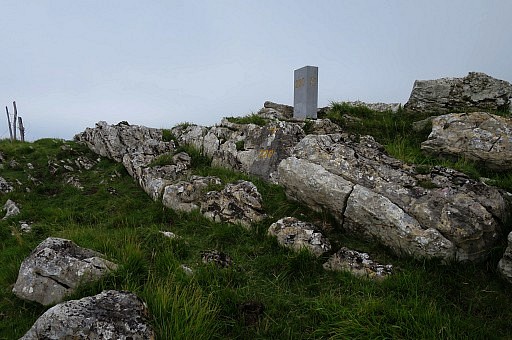 | Bm220 |
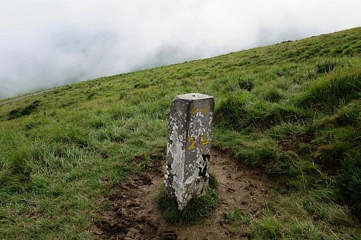
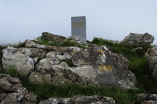 | Bm220, pillar and cross |
 | Bm220 |
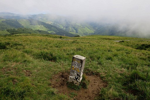
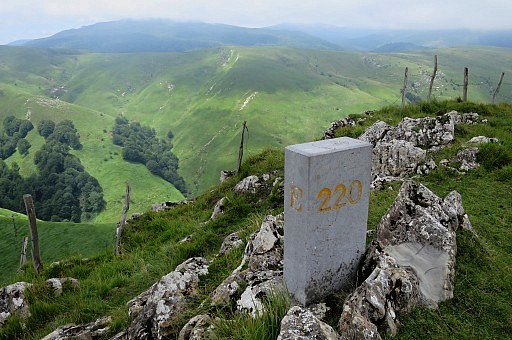 | Bm220 |
 | Bm220 |
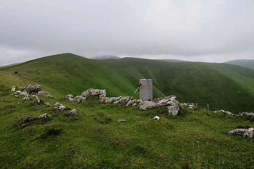 | Bm220 |
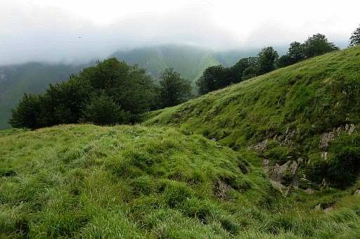
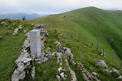
 | From bm220, head N and reach bm221 after 350m. |
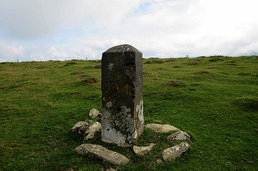
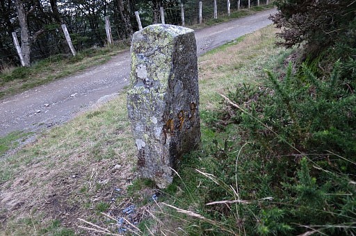
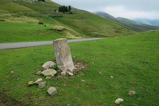 | Bm221 |
 | Bm221 |
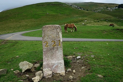 | Bm221 |
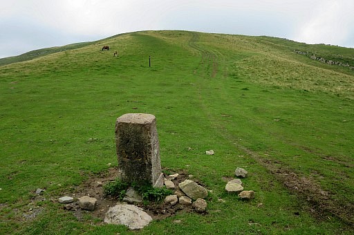
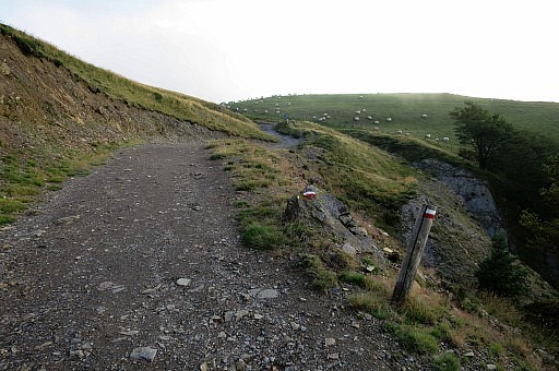
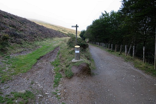
 | I return. The trail down the hillside is not waymarked and seems not often used. |
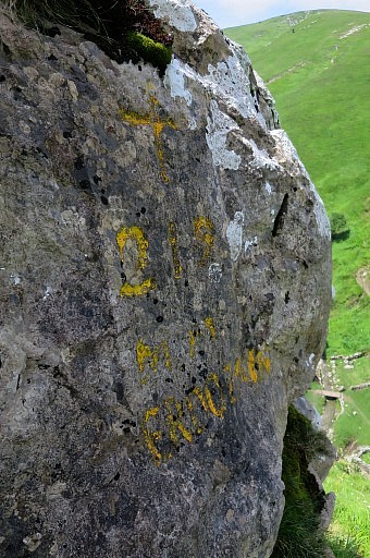
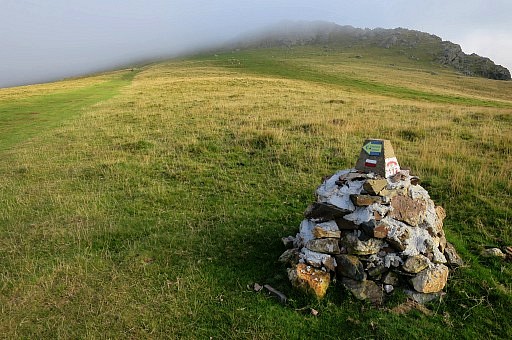
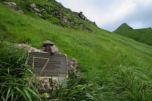 | A small monument to some perished mountain-walkers. At home I find at internet what has happened. The ancient practice of "écobuage" which is the controlled setting on fire of pastures to clean it, has killed 5 mountain walkers of the 'club alpin de Bayonne' in 2000. |
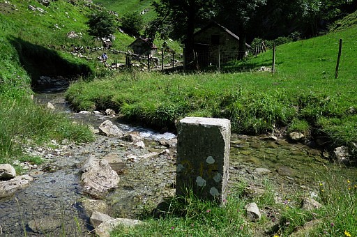
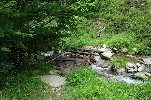 | When I arrive at the stream, It seems that the lower part of the trail
has changed since 2009. Now there are no branches, there's only one
trail: zigzagging up to bm221. I cross this ramshackle bridge, |
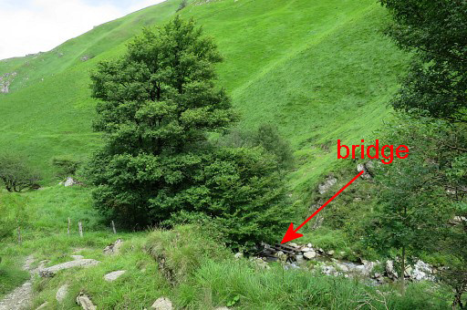 | on this picture seen from the other side, higher up. |
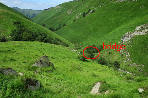 | Higher up, looking back. There's no real trail going uphill/downhill from/to the bridge. |
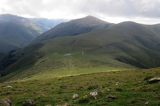
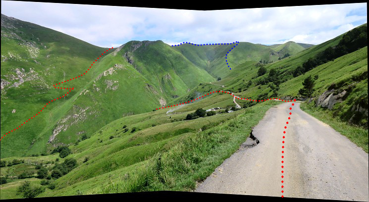 On the road again. A panorama-view back. In red the GRPdesBF main route and in blue the variant via bm214 to 220.
| |
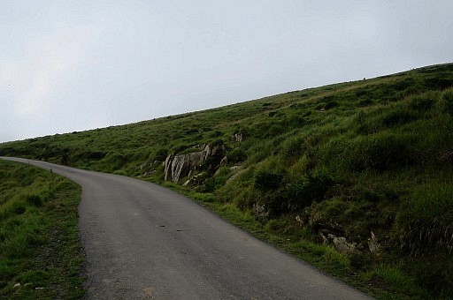
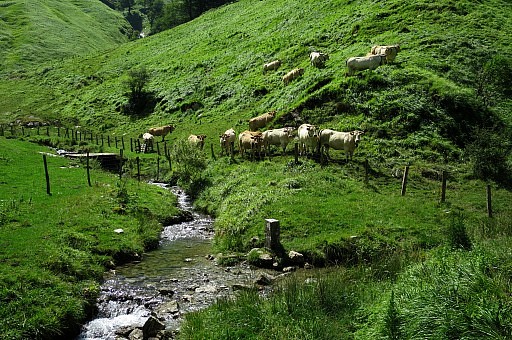
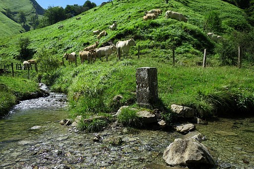
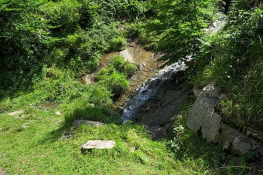 | I return to the car along the road. There are several streams crossing it, one definitely larger (underneath bm215). |
| Trip 2 |
bm206-210 |
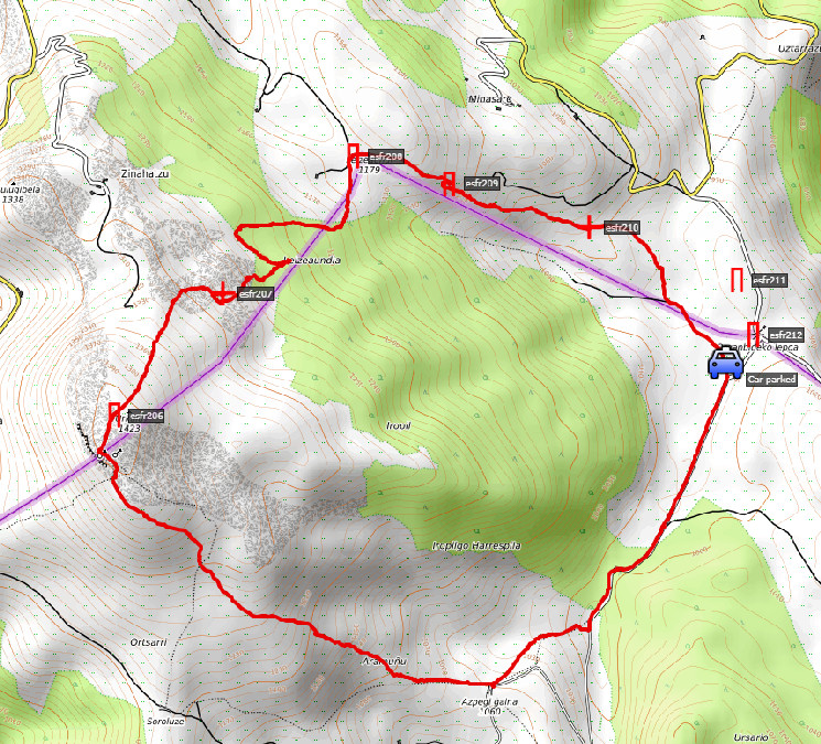 track-20170726-trip2.kml (click to open this trip in Google Earth or copy link to Google Maps; click right on this link to download gpx-version). |
|
 |
According to Google Earth:
7,6km, max-height 1408m, min-height 975m, elevation: +494m -493m Start 16:43 Finish 19:49 |
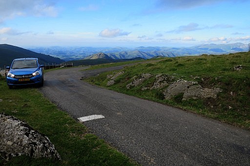
 | From the car I walk over the road SE. I want to check for a trail and waymarks which could serve as an alternative course of the main route (shortcut) from bm205 to bm212 but there are none. This picture: from here I climb NW to the Urkulu summit. |
 | Higher up I spot waymarks like these. |
 | Almost at the Urkula-summit. |
 | Looking down at the pass with bm205. |
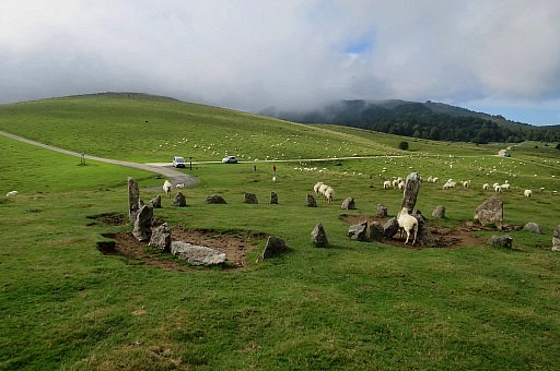
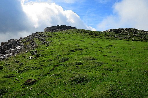 | A circular wall at the summit which is |
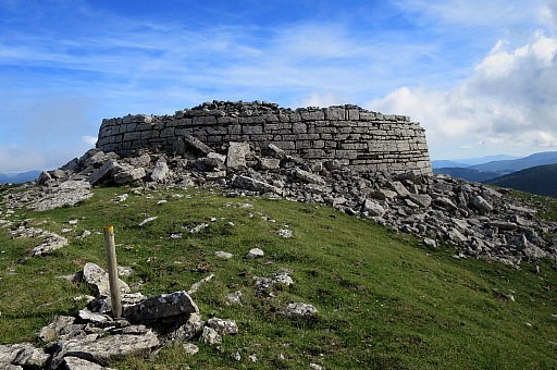 | an old castle or tower. |
 | It's easy to find bm206, ± 150m NNE from the ancient tower. |
 | Bm206 |
 | Bm206 |
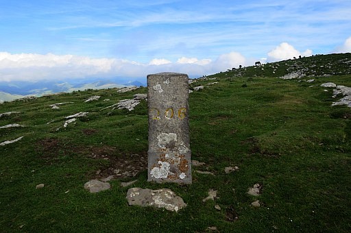 | Bm206 |
 | Bm206 |
 | Bm206, close-up towards the old tower. |
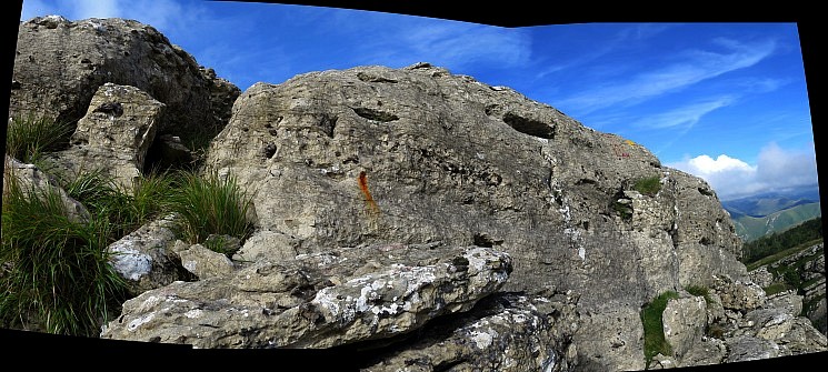
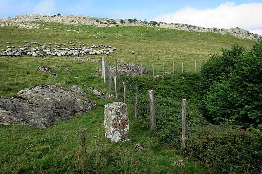
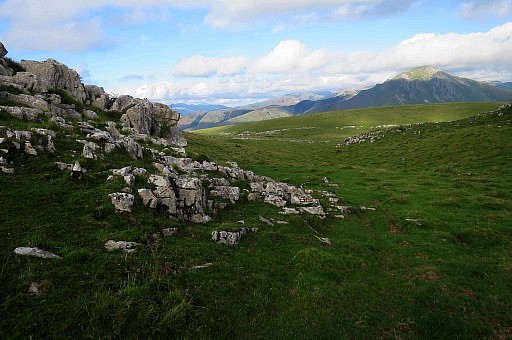
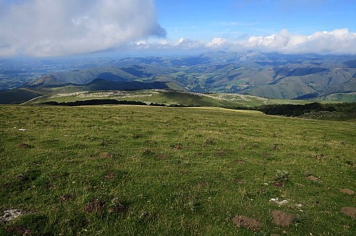 | Then it's an easy traversing NE over the grassy hills to |
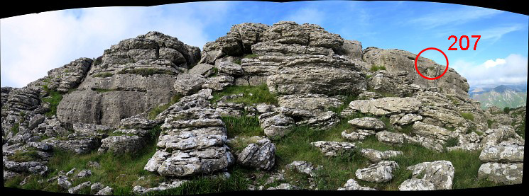
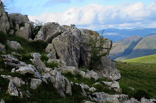
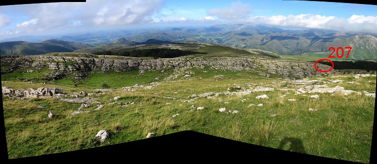 the long-stretched rock-ridge where you will find bordercross 207
| |
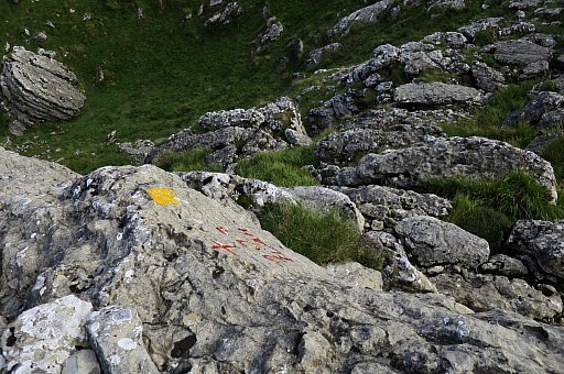
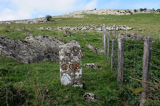
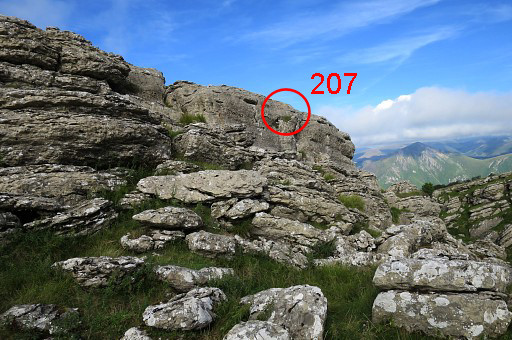 | It takes some time to find bm207. |
 | |
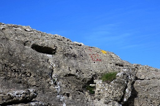 | Bm207 |
 Bm207
| |
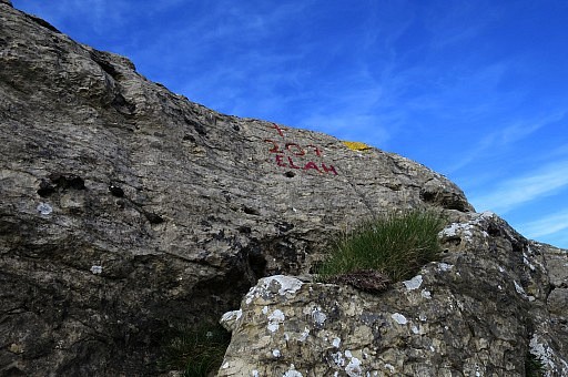 | Bm207 |
 | Bm207, from above |
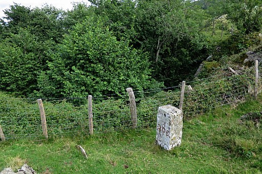
 | I descend again. The direct crossing of the forest towards bm208 is however not easy. |
 | I try a NE direct course but the terrain consists of much elevation up and down including too steep small valleys. |
 | Finally I return and find myself back (I think) |
 | at the same (cattle) trail which I did on 20090529 |
 | with some cairns |
 | At this point I have to go left |
 | and then the progress to bm208 is easy |
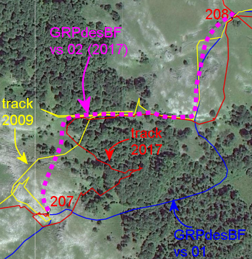 |
Let's summarize the various tracks/trails between bm207 and 209. Let's stick to the purple version for the future. |
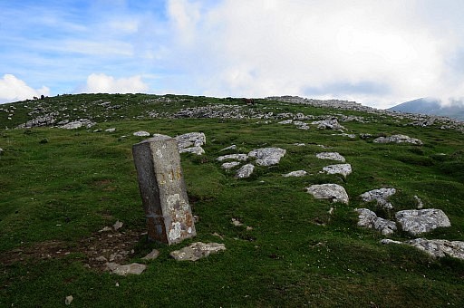
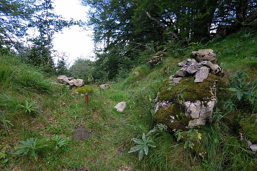
 | Bm208 besides a mysterious hole. |
 | Bm208 |
 | Bm208 |
 | Bm208 |
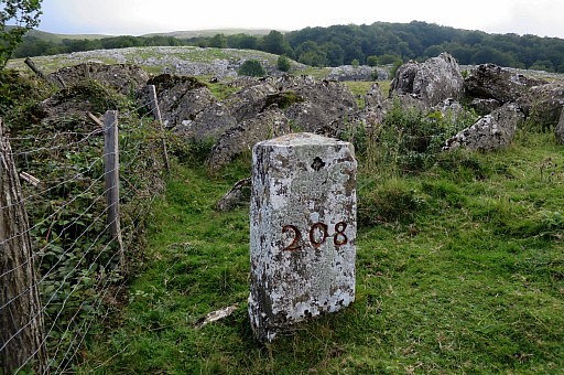 | Bm208 |
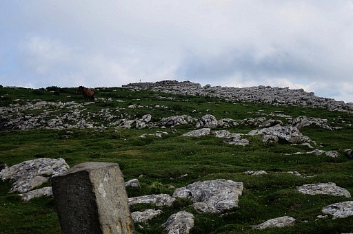
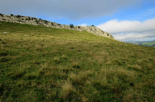 | Then I walk E to the ridge |
 | and walk underneath it to arrive at bm209 which is well visible from distance. |
 | Bm209 |
 | Bm209 |
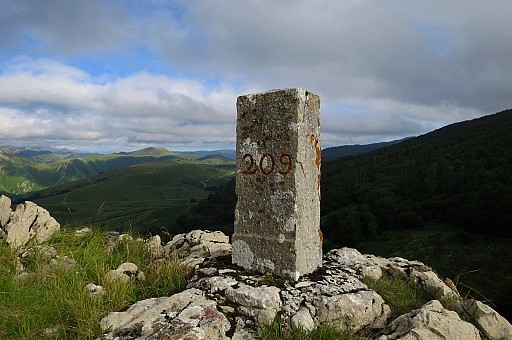 | Bm209 |
 | Bm209 |
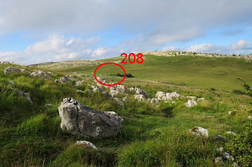
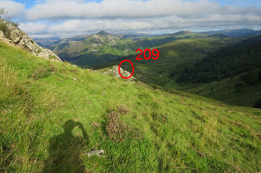
 | Then finally to bm210 which - without a gps - is not an obvious find. Going 550m SEE will bring you close. |
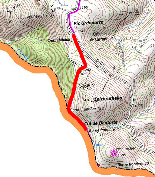
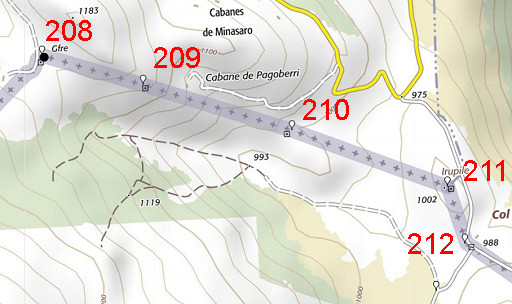 |
And this map might help you. |
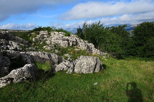
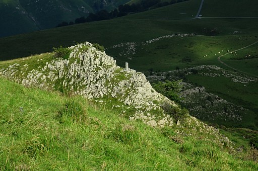
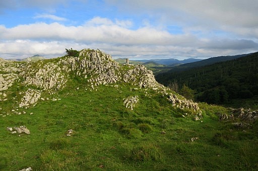
 | Bm210 is on this rocky outcrop |
 | Bm210 |
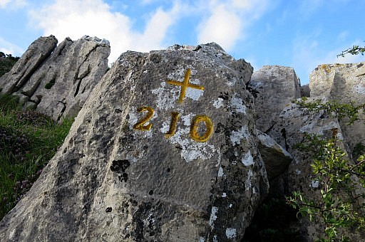 | Bm210 |
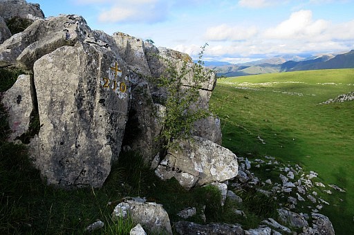 | Bm210 |
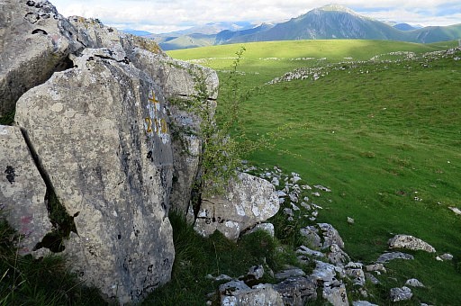 | Bm210 I return to the car. |
| Trip 3 |
Bm198-199 |
 |
It's already around 8pm and I decide nevertheless to do a short trip to bm198 and 199. Why? I photographed bm199 already 3 times but all in 2009 and I prefer more time difference between the two visits of each bm Ive set my mind to. |
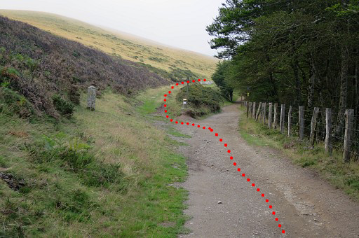
 | From my car |
 | the Camino (to Santiago de Compostella) is well trodden |
 | and it's an easy hence & forth trip. |
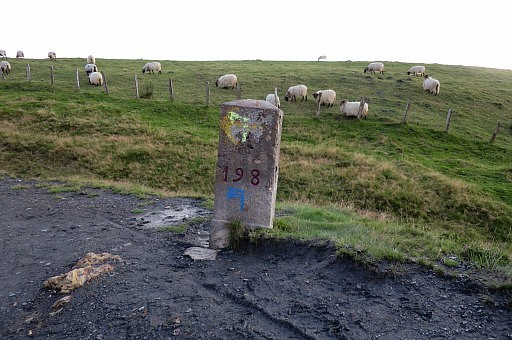 | Bm198 |
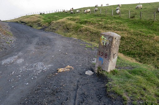 | Bm198 |
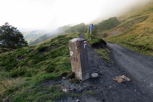 | Bm198 |
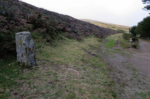
 | Arriving at bm199. At bm199 is the bifurcation of GRPdesBF (left) and Camino (right). After 150m there is a source (Source de Roland), accessible from both trails. |
 | Bm199 |
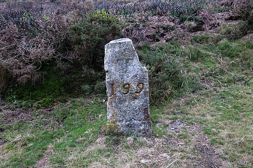 | Bm199 |
 | Bm199 |
 | Bm199 |
 | The bifurcation in close-up |
 | Returning to my car and driving back to the camping in Saint-Étienne-de-Baïgorry. It has been a long day. |