|
The
bordermarkers of the Pyrenees : all my trips
 |
|
| -
tuesday 28 august
2018 - Redoing bm417 |
 |
 |
Summary:
one of 8 solo daytrips in
the Pyrenees, in the area of Haute-Garonne near Bagnères-de-Luchon, in
order to redo the bordermarker-range nr. 331 to 417. Today: main goal is re-doing bm417 as part of my project of having visited every bm twice with at least one year in between. Weather: sunny / partially cloudy |
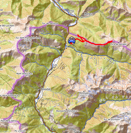
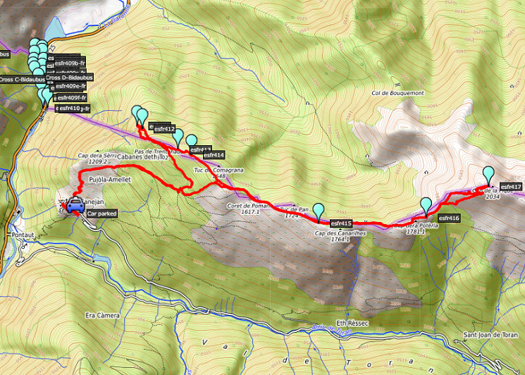 track-20180828.kml
(click to open this trip in Google Earth or copy link to Google Maps; click right on this link to download gpx-version). The gps-track has not been manually corrected which explains the inaccuracy and misalignment at some points. For cartographic backgrounds: see the cartography-page Gps-waypoints of all bordermarkers (most recent version): kml: esfr-bordermarkers-all-waypoints.kml gpx: esfr-bordermarkers-all-waypoints.gpx |
|
 |
According to Garmin
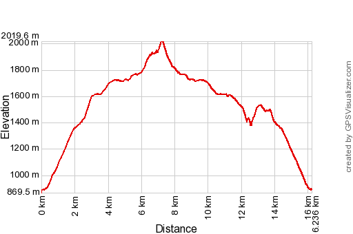
Basecamp: Distance: 16,2 km Max-height: 2020m Min-height: 870m Elevation: +1661m -1640m Total elevation: 3301m Start 9:08 Finish 18:39 Total time: 9:31 |
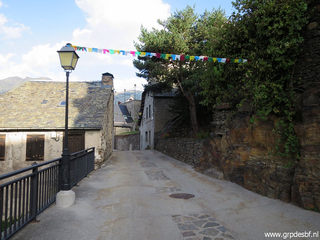 | Early start in the village of Canejan. click photo to enlarge |
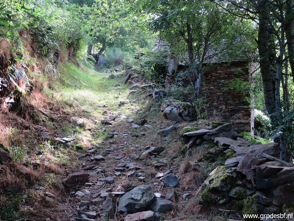
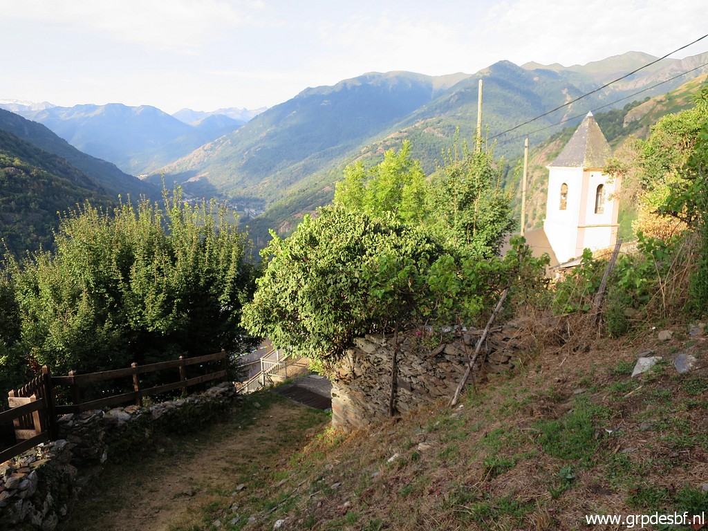 | Behind the church a steep path starts. click photo to enlarge |
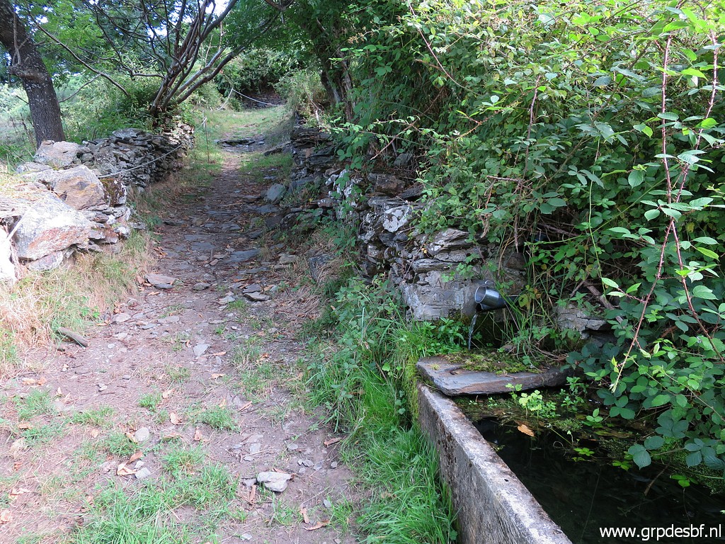 | Soon you will pass this water source including a mug to drink from. click photo to enlarge |
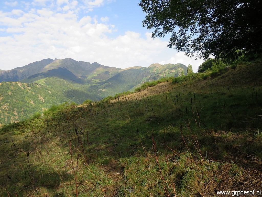 | View towards Pic de Sacaube to the NW. click photo to enlarge |
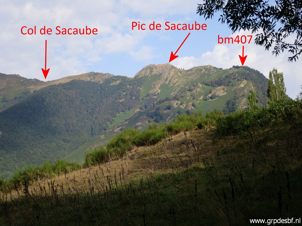 | Zoom-in with annotations. click photo to enlarge |
 | The path is in the first part very steep but has now become more gentle in its ascent. click photo to enlarge |
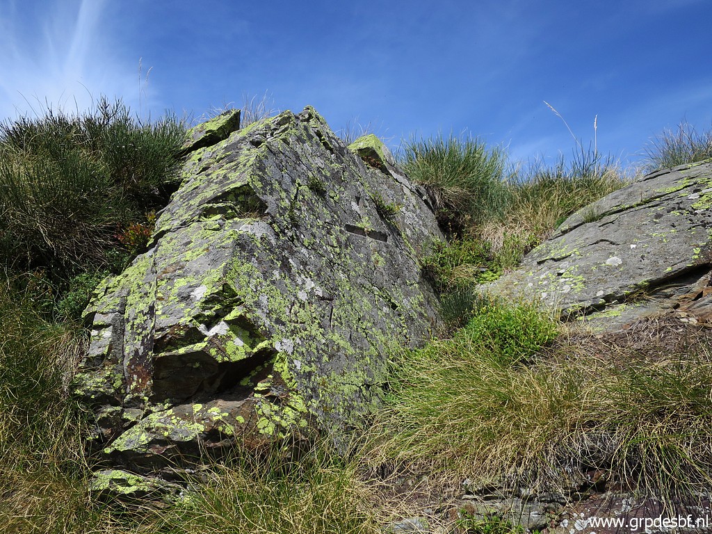
 | Apparently a local bordermarker. click photo to enlarge |
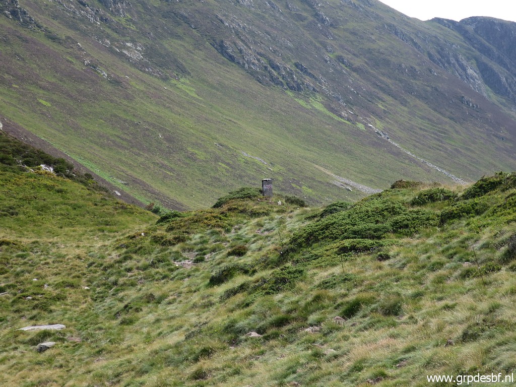
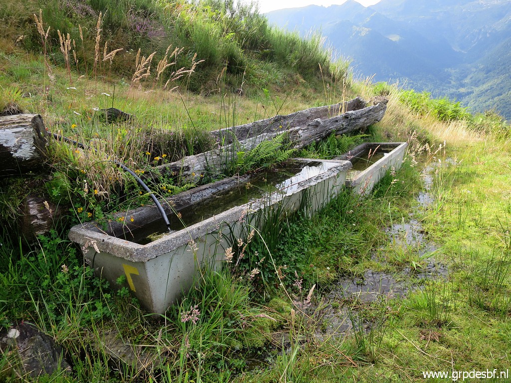 | Having arrived at these cattle drinking trunks. From this point, I traverse click photo to enlarge |
 | NE
trough the forest uphill (traces of trails) to its eastern edge and
climbing along the edge (in the forest, that's easier) further uphill click photo to enlarge |
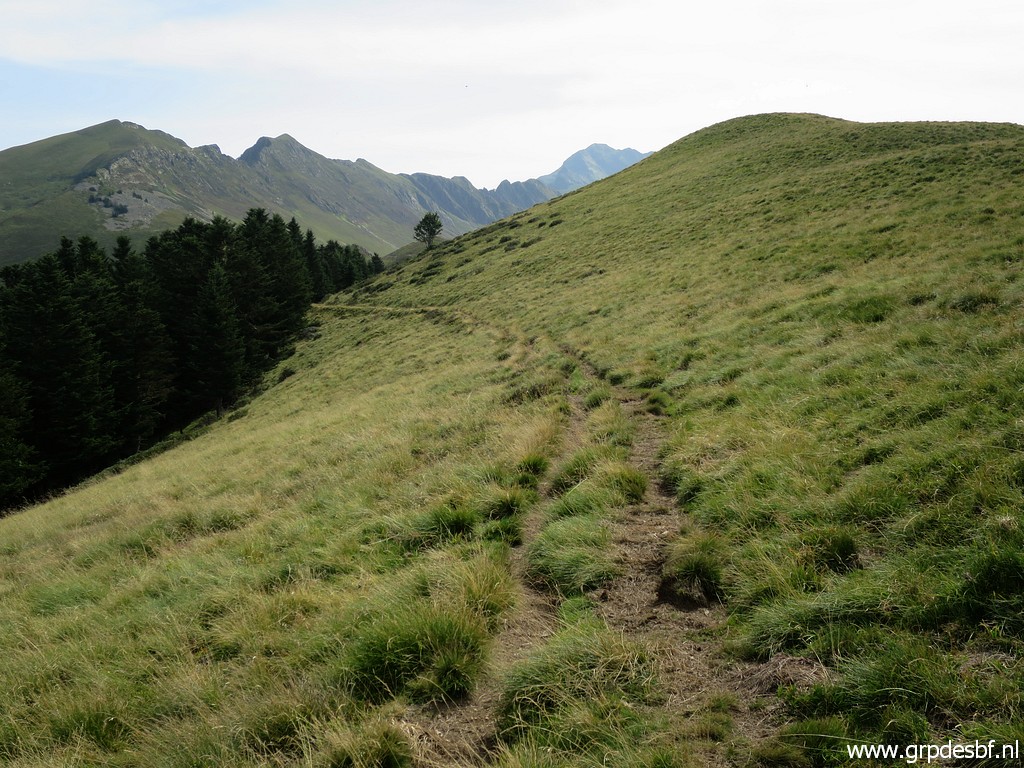
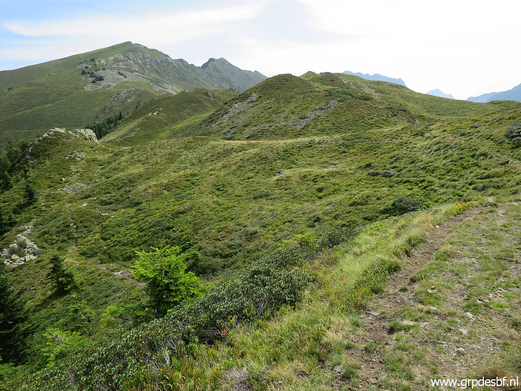
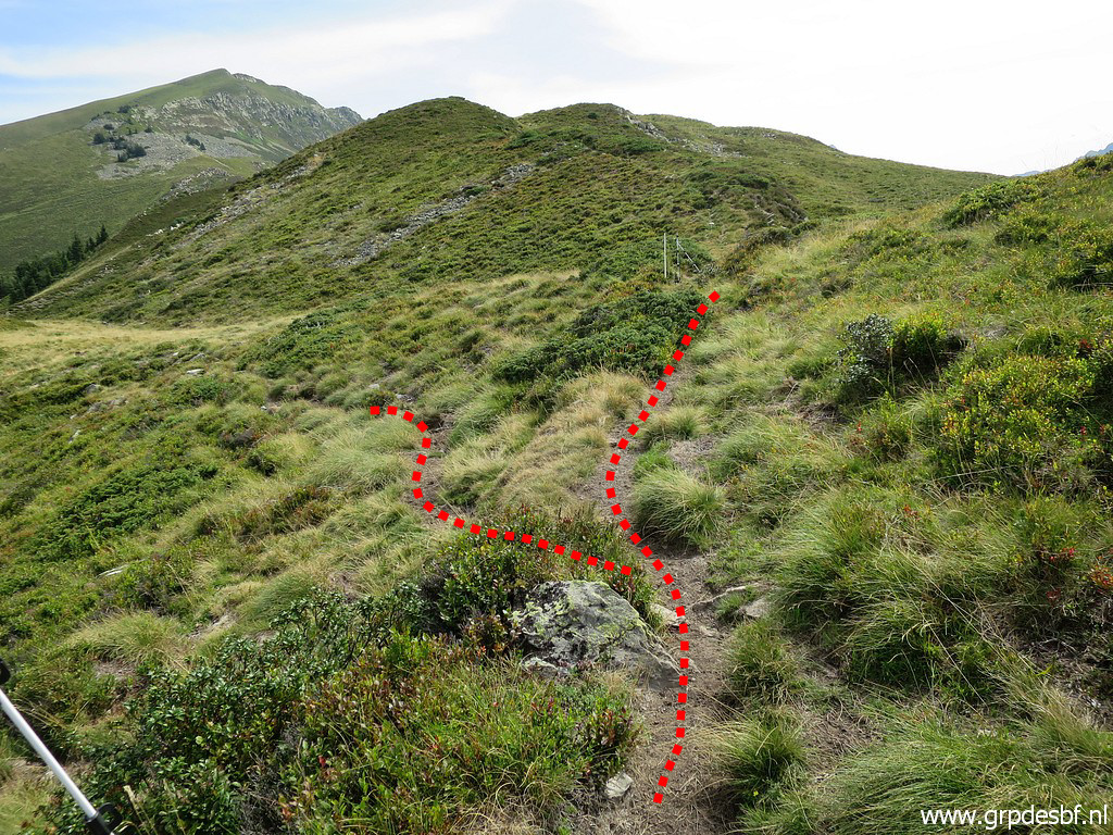
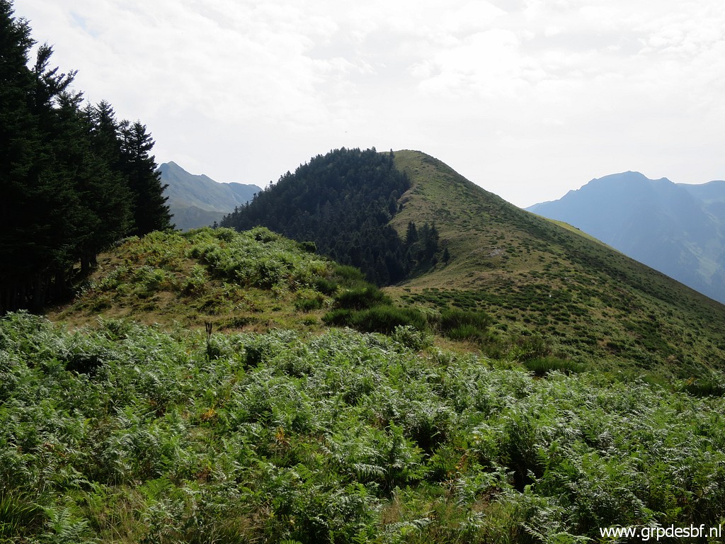 | until you approch the hill ridge. Last part is through the fern to the ridge itself. On the ridge itself are trails cq cattle tracks. I follow the ridge to the east, the trail goes first to the right of the first hilltop. click photo to enlarge |
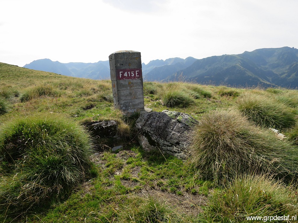 | I pass - after that first hilltop - bm415 click photo to enlarge |
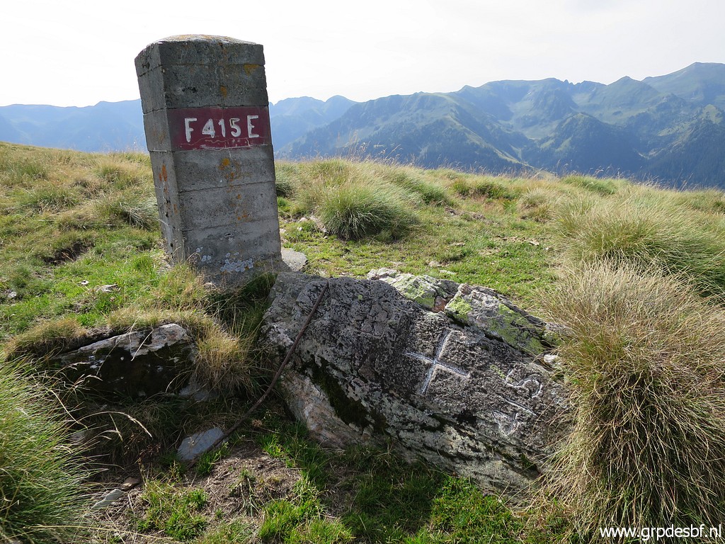 | Bm415 click photo to enlarge |
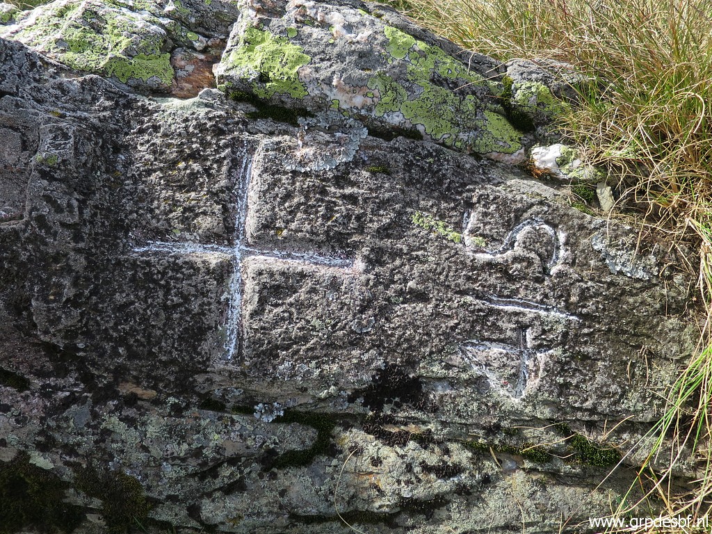 | Bm415, cross click photo to enlarge |
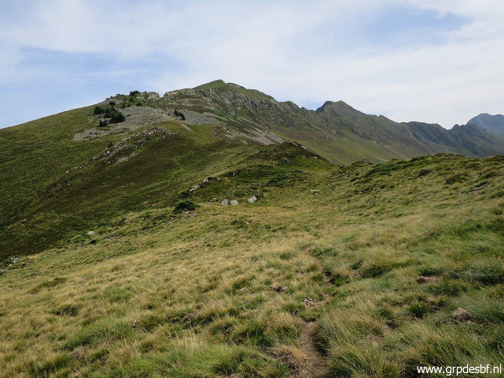
 | Further on, the trail goes left of the next hilltop, passing for a short while through the forest click photo to enlarge |
 | to arrive here. Further on click photo to enlarge |
 | there's a bifurcation. That's here, take the right branch. click photo to enlarge |
 | Further on, click photo to enlarge |
 | I approach click photo to enlarge |
 | bm416 (zoom-in) Just beyond bm416 is Pas de la Portéule. click photo to enlarge |
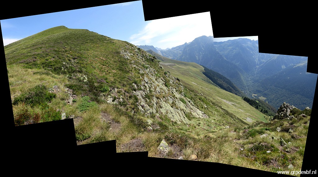
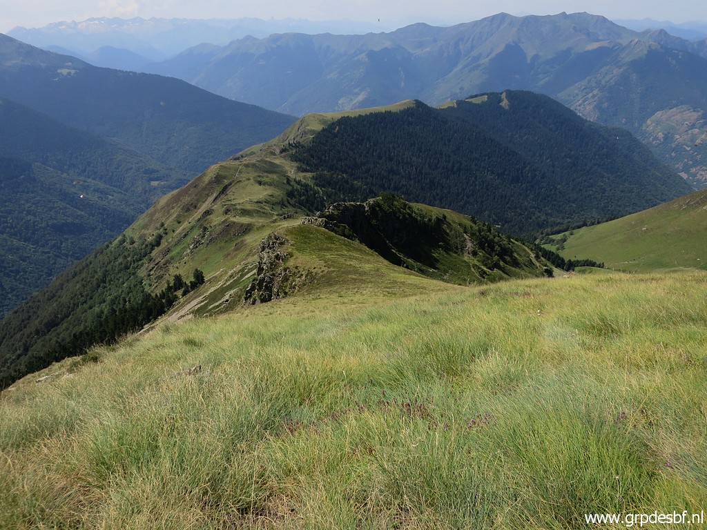
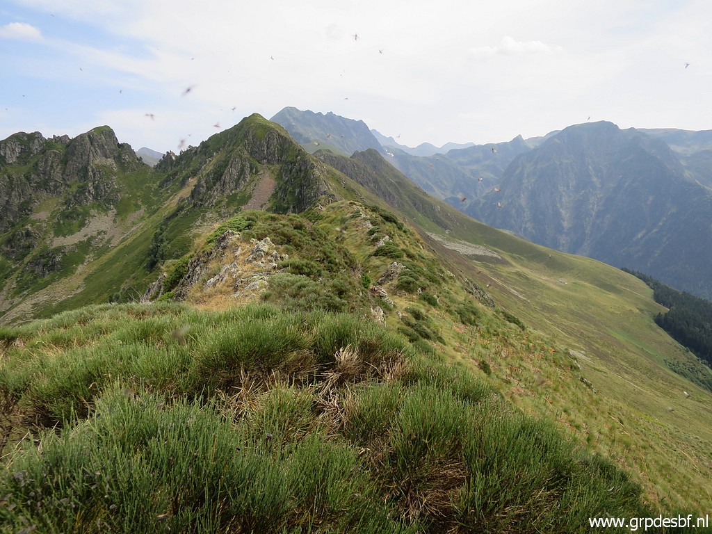
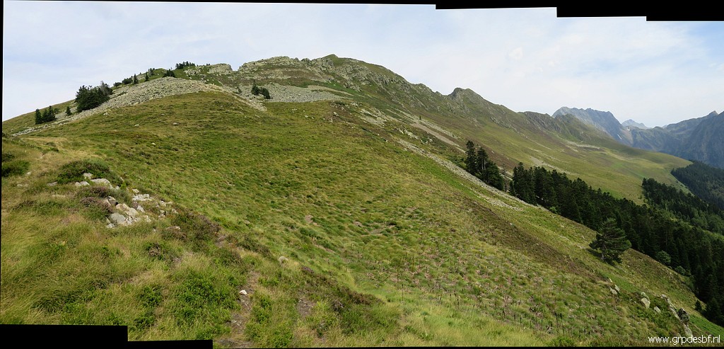
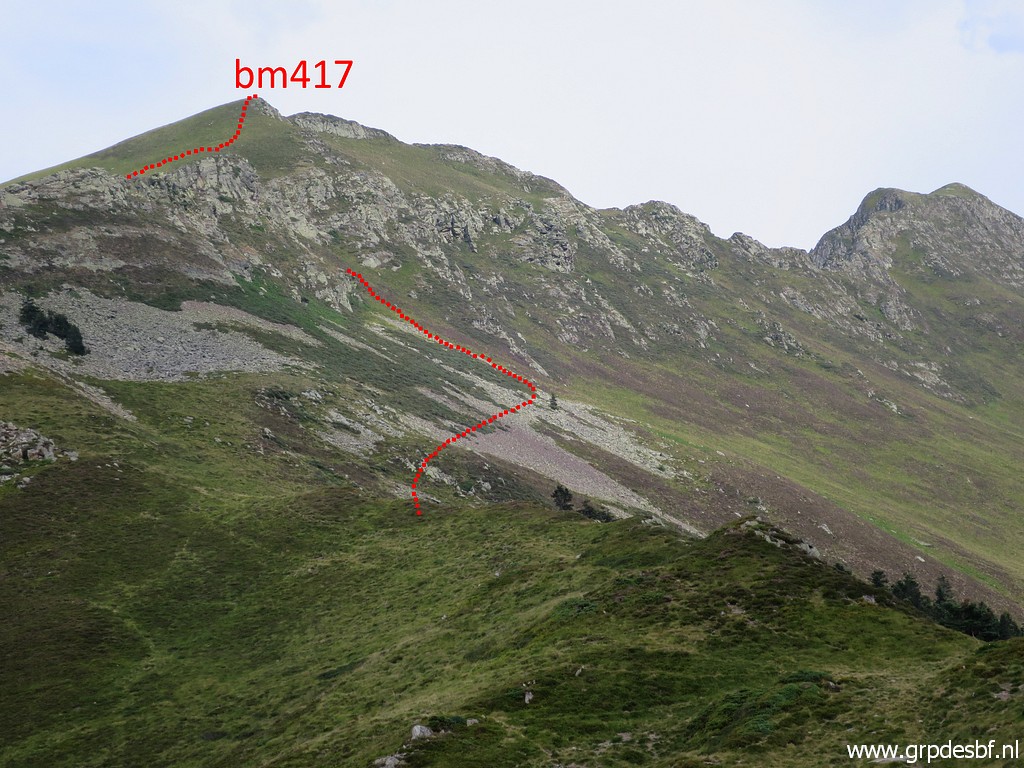
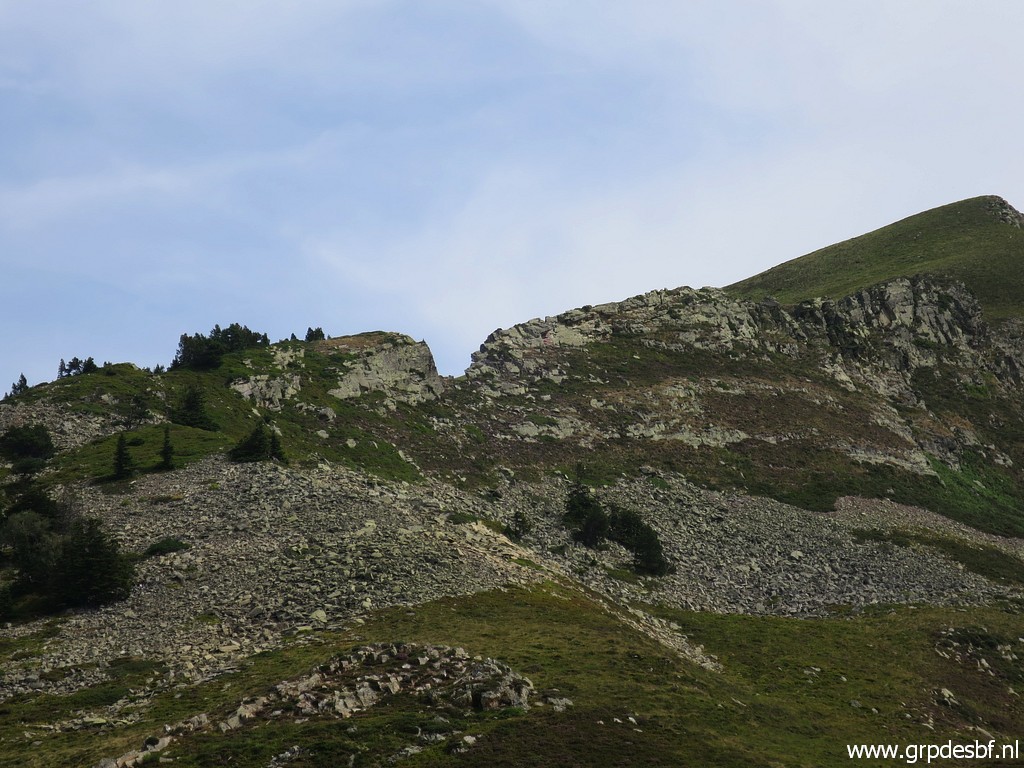 | Zoom-in to the ridge ahead with its striking "brèche". At the far right you can see the Cap de la Pique where bm417 is. The 'brèche' is however no gateway to the more gentle north side of the ridge because it's too steep at the other side of the brèche. click photo to enlarge |
 | But first bm416 click photo to enlarge |
 | Bm416, the old cross besides it click photo to enlarge |
 |
Zoom-in. It's not easy to spot the engraved F and E and number. click photo to enlarge |
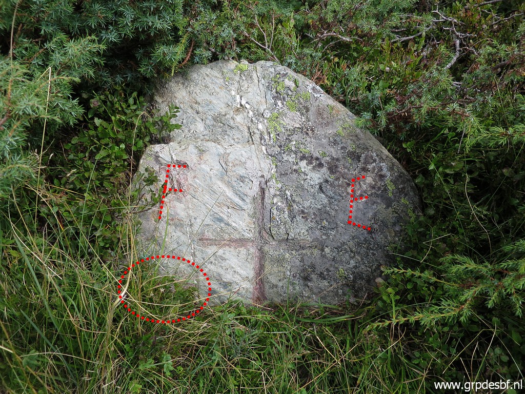 | So I did some digitally chalking. In the circle is the number. click photo to enlarge |
 | Bm416 click photo to enlarge |
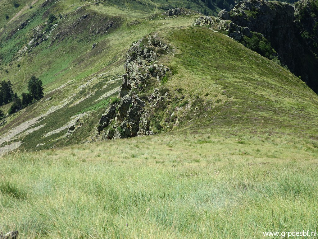
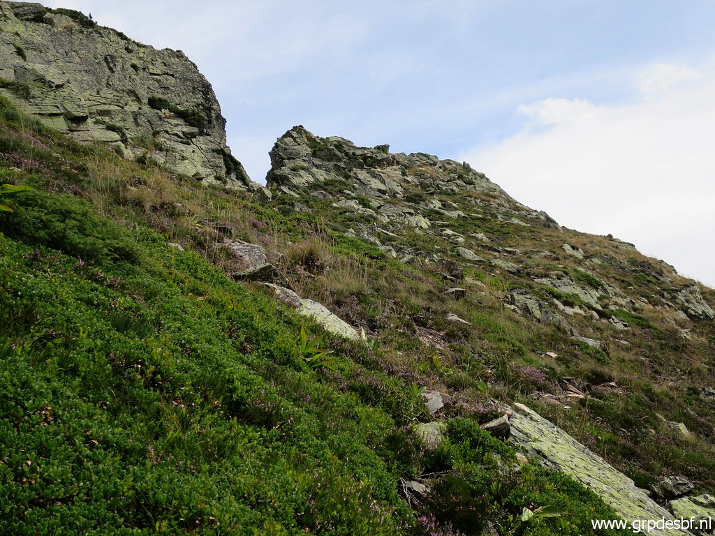 | I try to find my way towards bm417. First climbing uphill. Going through the "brèche" is no option because it's too steep at the other side. I remember that from my trip on 20110830 I continue along the higher hillside but climbing to the ridge is only possible after some time and some efforts. click photo to enlarge |
 | Finally I find a sort of pass on the ridge to climb to. click photo to enlarge |
 | And that pass is here. Looking forward to the long ascent of Cap de la Pique. click photo to enlarge |
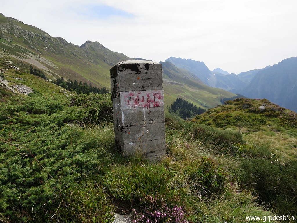
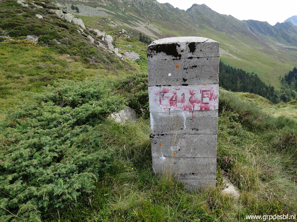
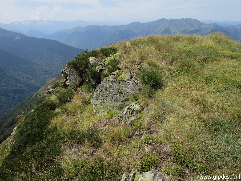 | Bm417 at Cap de la Pique. click photo to enlarge |
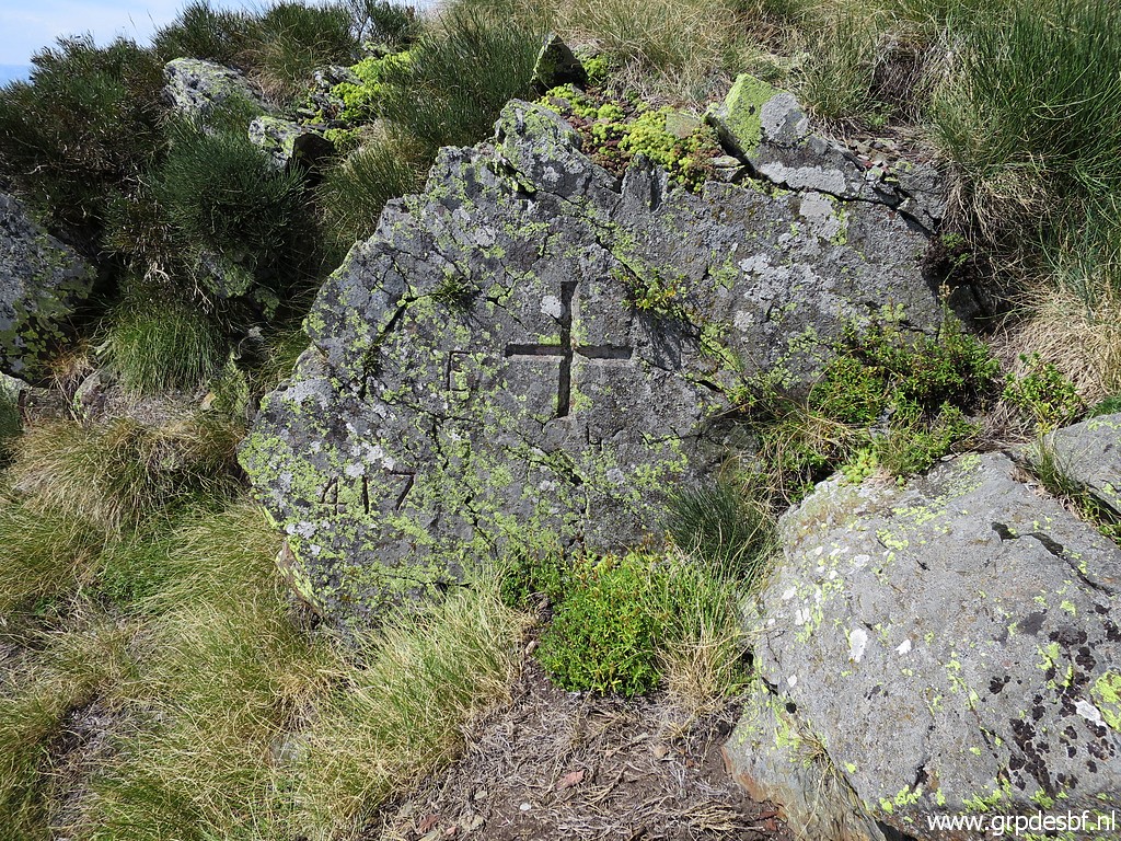 | Bm417 click photo to enlarge |
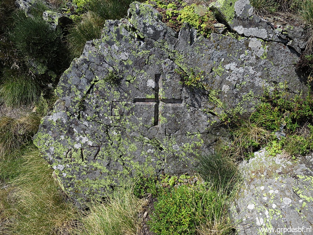 | Bm417 click photo to enlarge |
 | Bm417 click photo to enlarge |
 | From Cap de la Pique a view back with click photo to enlarge |
 | on this zoom-in the pass where I reached the ridge. click photo to enlarge |
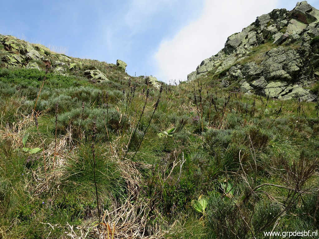
 | Looking SE to the grassy hillside click photo to enlarge |
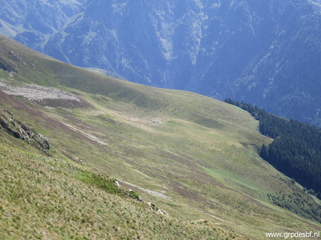 | with click photo to enlarge |
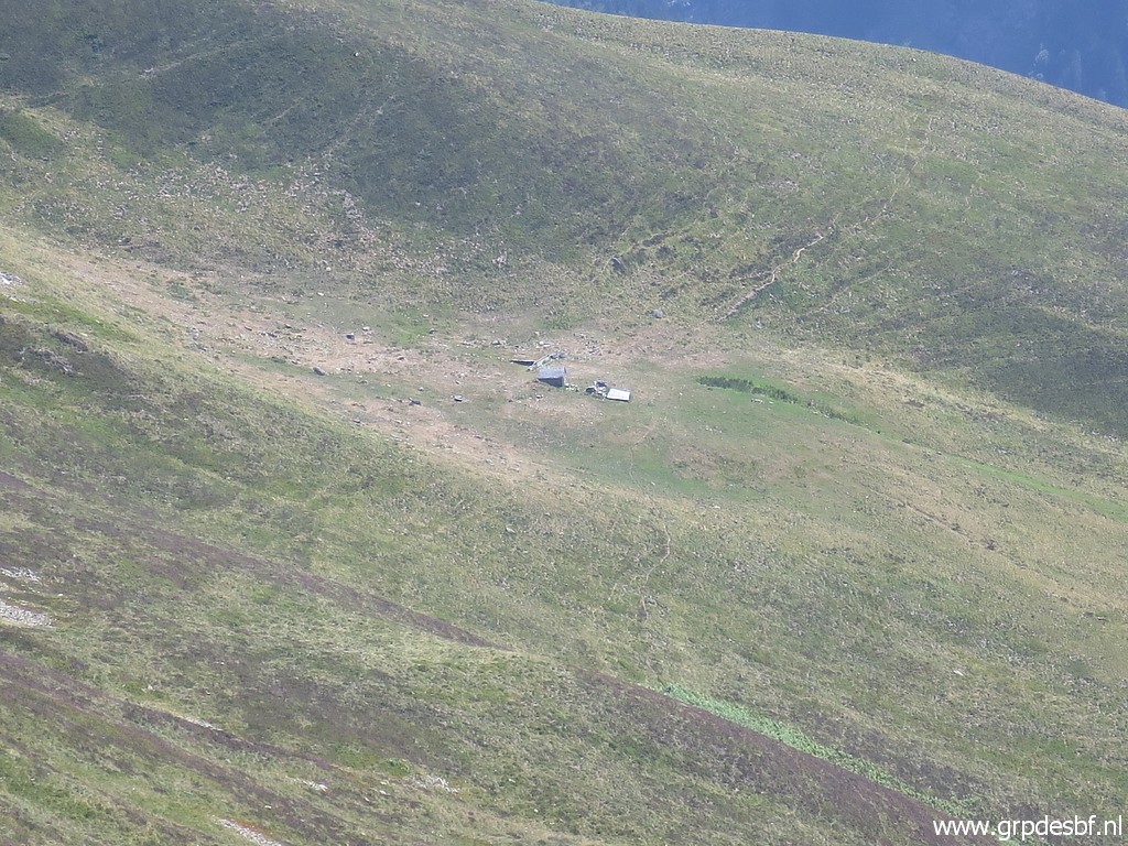 | the cabane where I met a hospitable shepherd on 20060828 click photo to enlarge |
 | I
make a small walk over the ridge to the east to see where a descent
descent is possible towards the cabane. That is about here. Beyond the cabane in the valley, the GRPdesBF-variant via bm411-417 will join the main GRPdesBF-route. click photo to enlarge |
 | I return and spot a few cairns but without consistency. click photo to enlarge |
 | On my descent, looking back with click photo to enlarge |
 | on this zoom-in the route to the pass at the ridge. click photo to enlarge |
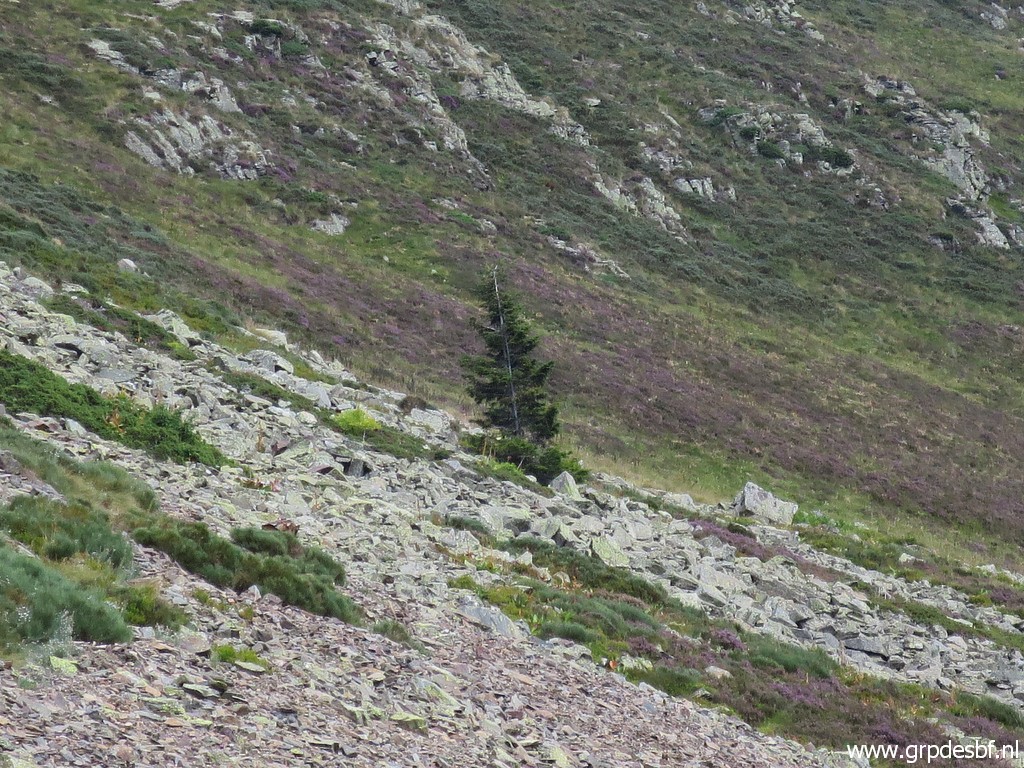 | Close-up of that solitary tree which is an important waymark. click photo to enlarge |
 | I'm back at the ridge (approximately at Pas de la Portéule) with a view back with click photo to enlarge |
 | this zoom-in of the route I propose to climb to bm417 click photo to enlarge |
 | Another view back click photo to enlarge |
 | with another zoom-in to the route to take. click photo to enlarge |
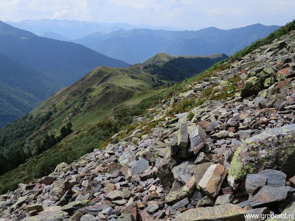
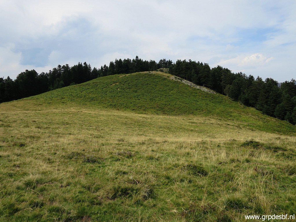 | Going back along the ridge, I arrive at a forest where further on downhill bm414-411 can be found. I decide to them again and enter the forest click photo to enlarge |
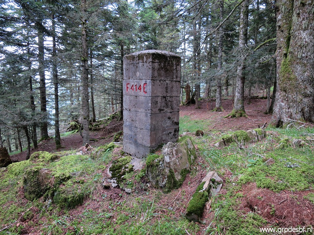 | and arrive soon at bm414. click photo to enlarge |
 | Bm414, original cross click photo to enlarge |
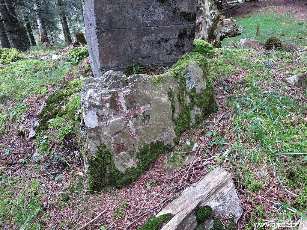
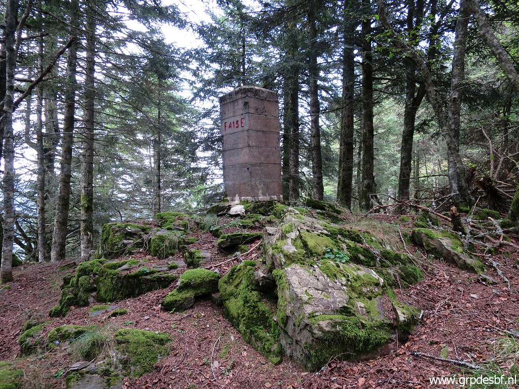 | Bm413 click photo to enlarge |
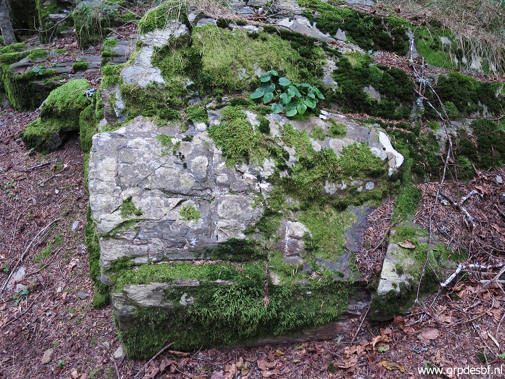 | Bm413, original cross click photo to enlarge |
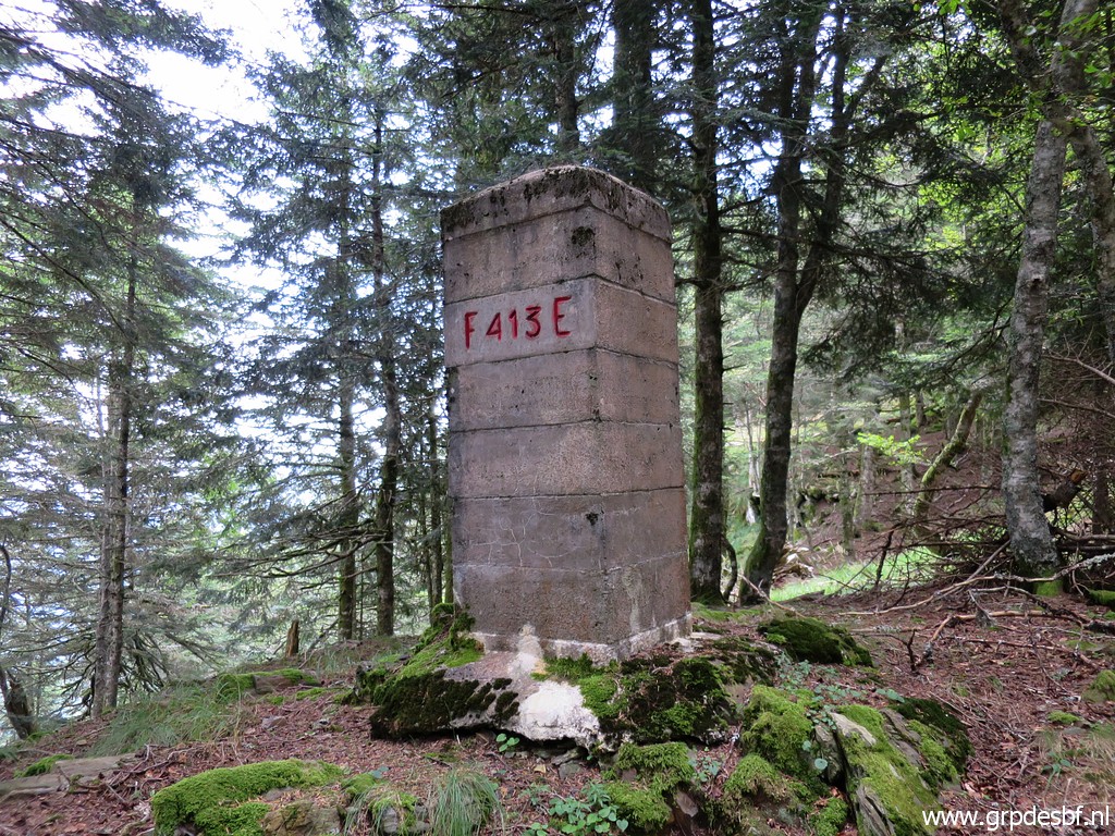 | Bm413 click photo to enlarge |
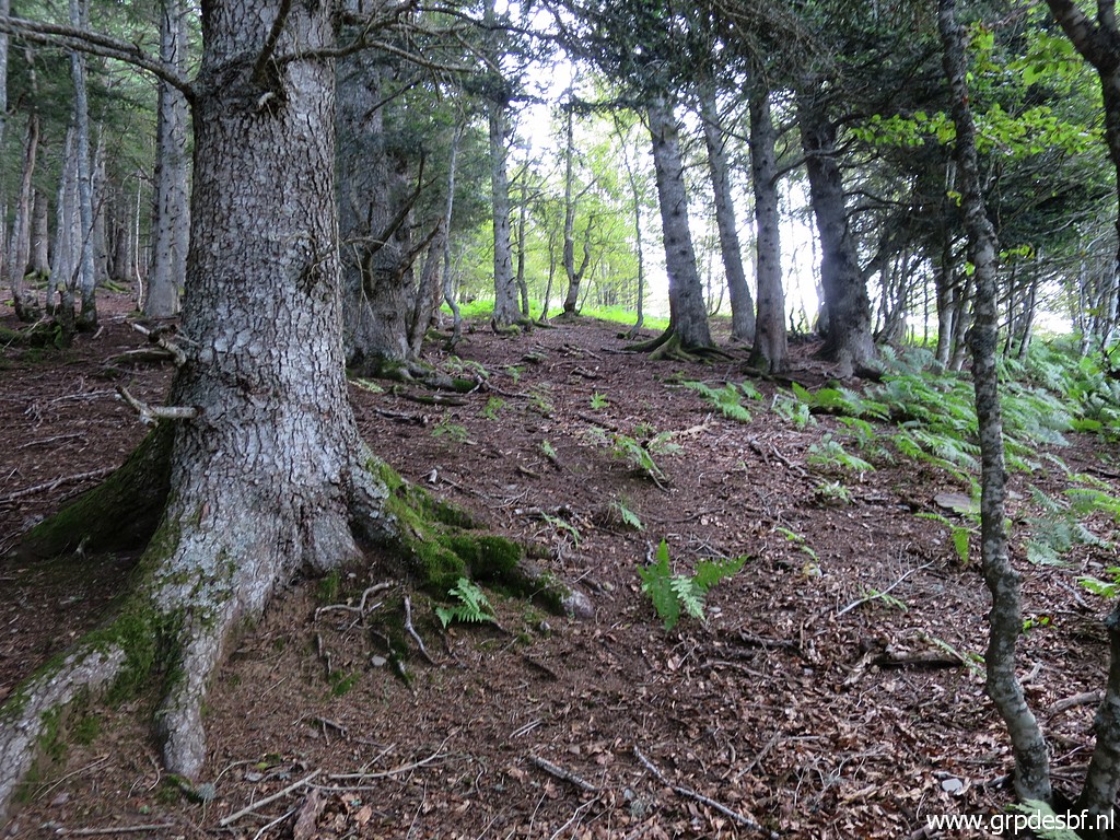
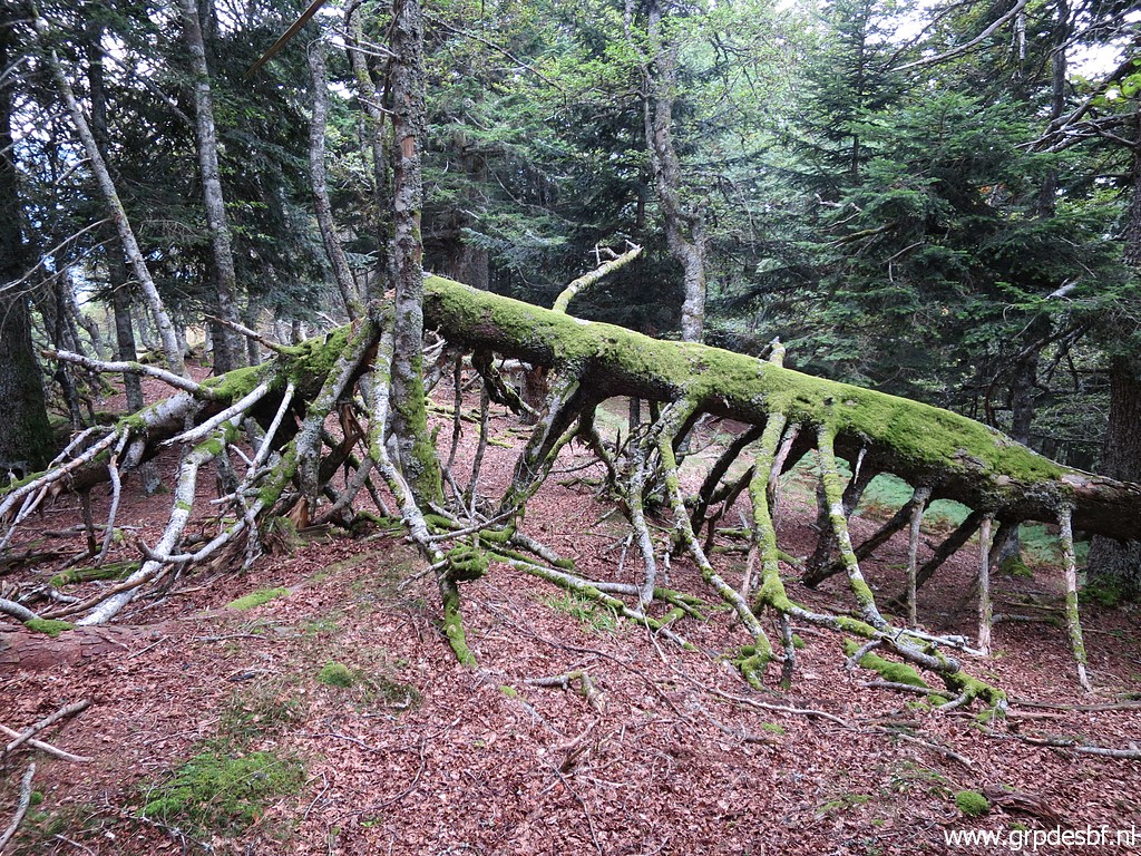 | I descend along the ridge which is the borderline. A beautiful and silent forest. click photo to enlarge |
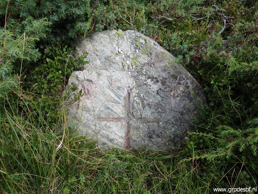
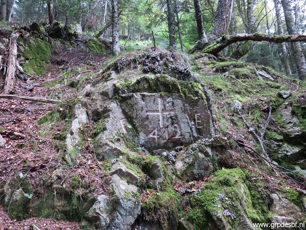
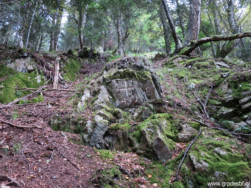 | Bm412, only a cross One wonders why no additional bordermarker was placed here in the 1950-ies as part of the restoration of the esfr-bordermarkers. Or has it disappeared? click photo to enlarge |
 | Bm412 click photo to enlarge |
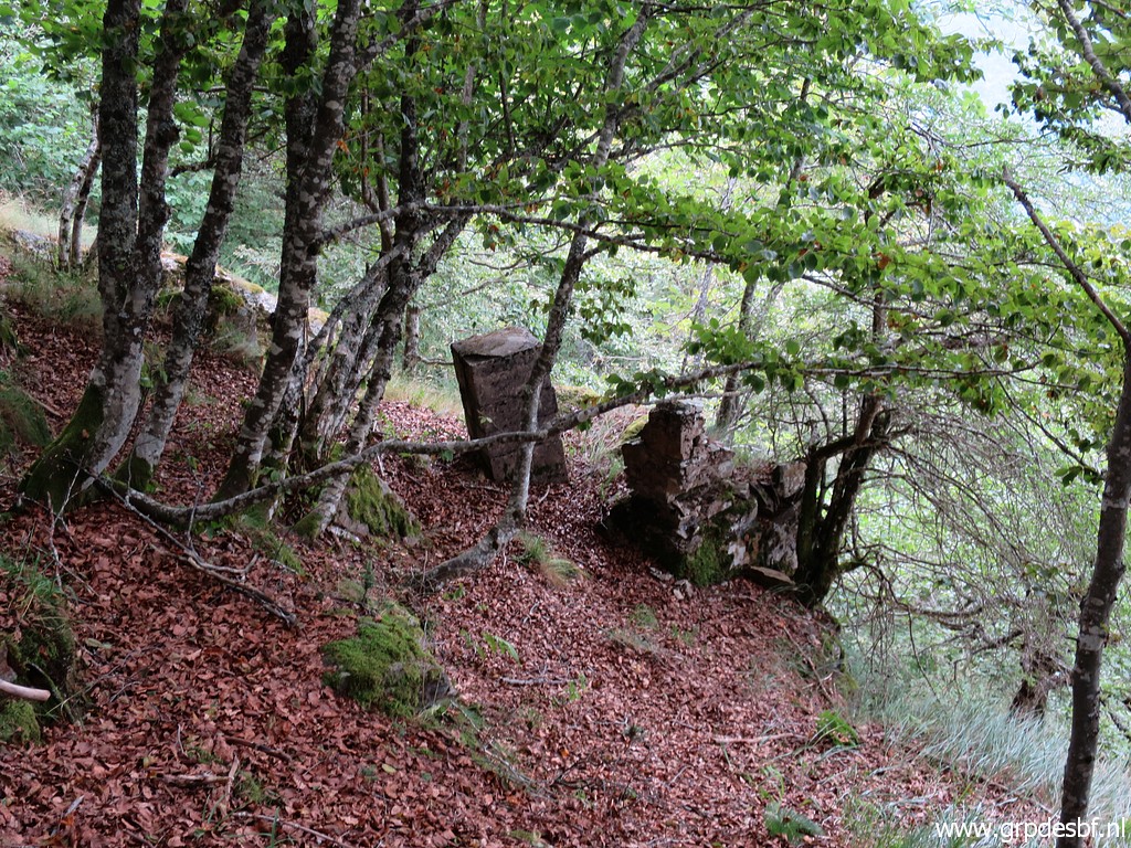 | Bm411 click photo to enlarge |
 | Bm411 click photo to enlarge |
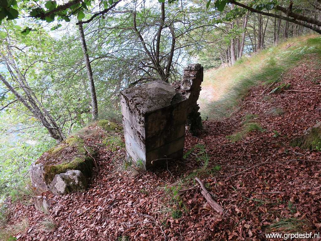 | Bm411 at the edge of a precipice. Was the masonry wall perhaps part of the bordermarker placed in the 19th century. click photo to enlarge |
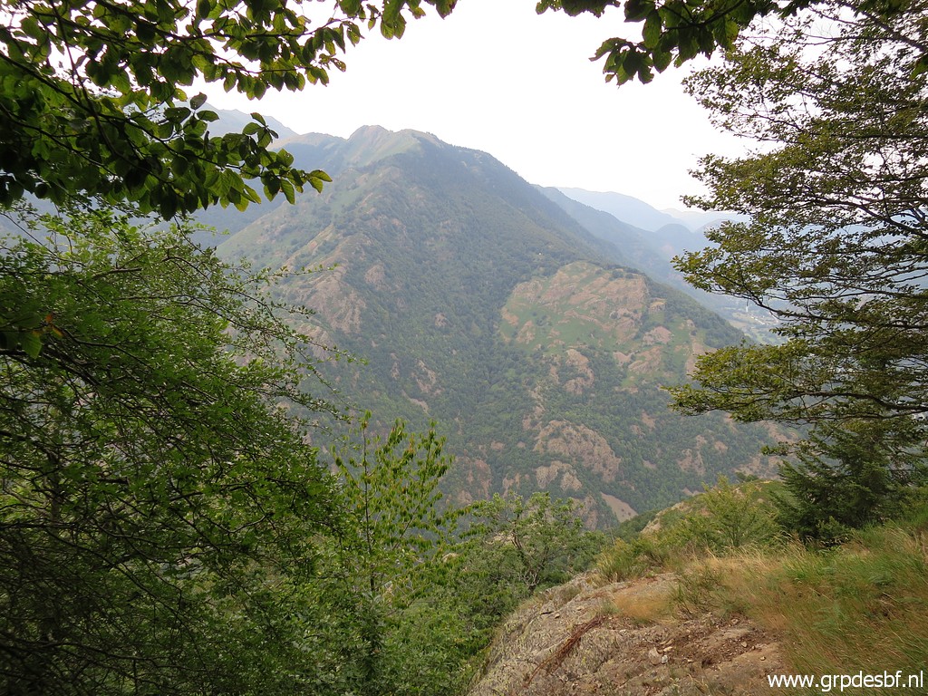 | A view to the west with click photo to enlarge |
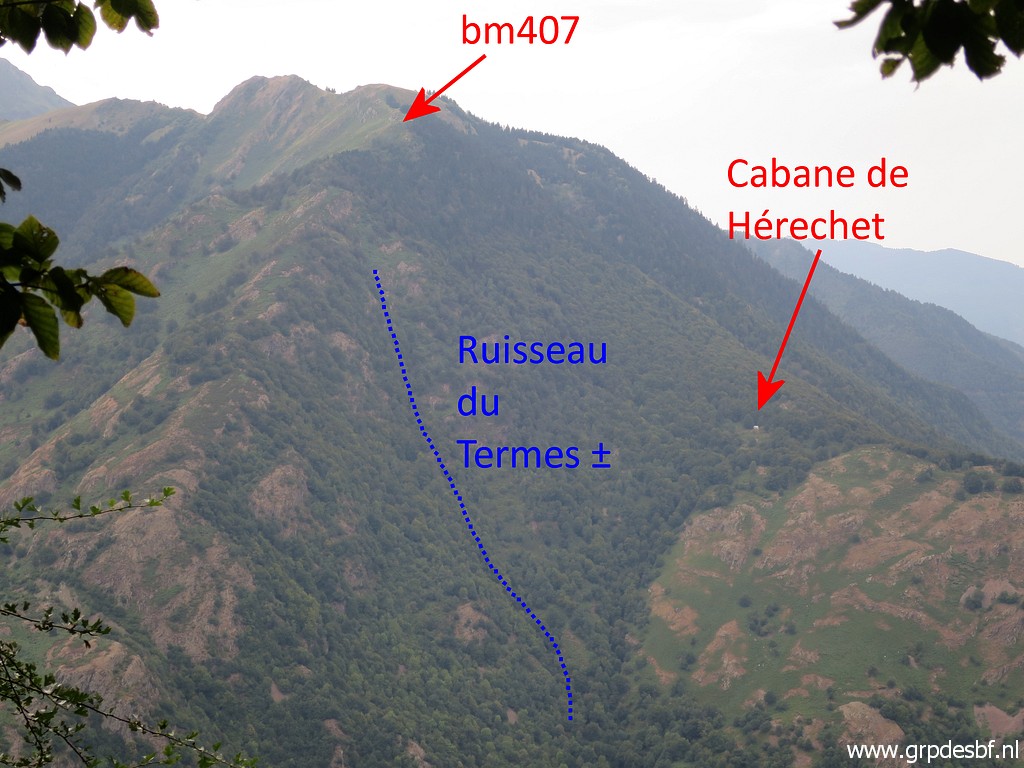 | this zoom-in with my annotations. click photo to enlarge |
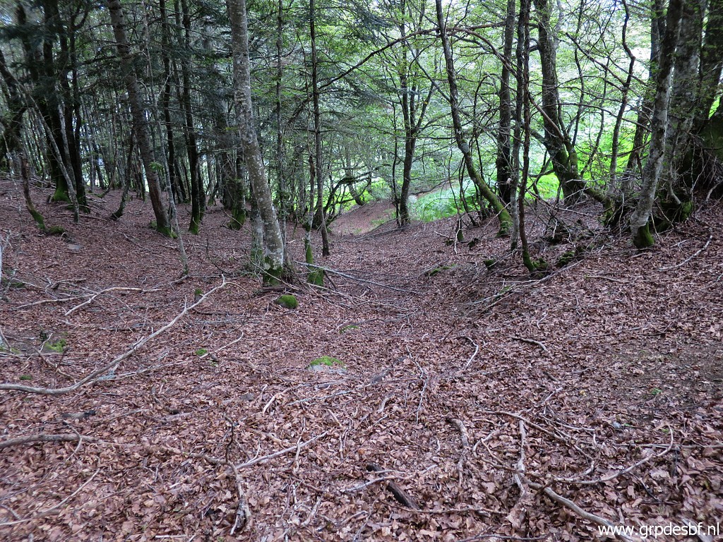 | I return to my car. First by descending SEE through the forest click photo to enlarge |
 | to the cattle drinking-trunks, mentioned above. Then back along the trail to Canejan to my car. This was my last daytrip of this holiday. The next day I will drive to Lourdes for some rest, relaxation and a bit of worship. I'm content. Though 61 years of age, still going strong. click photo to enlarge |