|
The
bordermarkers of the Pyrenees : all my trips
|
|
| -
thursday 29 august
2019 - Redoing bm554-559  previous
trip
next
trip previous
trip
next
trip  |
 |
 |
Summary:
part of a series of 11 trips in august-september 2019 in the
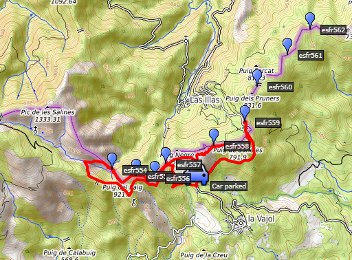
Pyrénées-Orientales, Andorra and the Hautes-Pyrénées. This is trip 5. Today: redoing bm554-559 but the main objective is bm558 and a survey of the implications of the new high fences on the borderline. My basecamp is the camping in St-Laurent-de-Cerdans. Weather: sunny and hot |
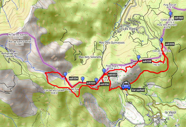 track-20190829.kml
(click to open this trip in Google Earth or copy link to Google Maps; click right on this link to download gpx-version). The gps-track has not been manually corrected which explains the inaccuracy and misalignment at some points. For cartographic backgrounds: see the cartography-page Gps-waypoints of all bordermarkers (most recent version): kml: esfr-bordermarkers-all-waypoints.kml gpx: esfr-bordermarkers-all-waypoints.gpx |
|
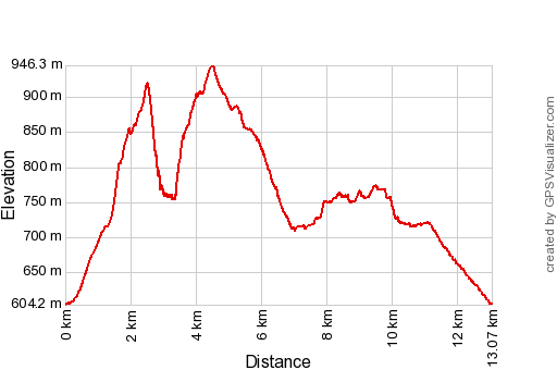 |
According to Garmin
Basecamp (uncorrected track): Distance:13,1 km Max-height: 945m Min-height: 610m Elevation: +606m -616m Total elevation: 1222m Start 8:22 Finish 15:18 Total time: 6:56 |
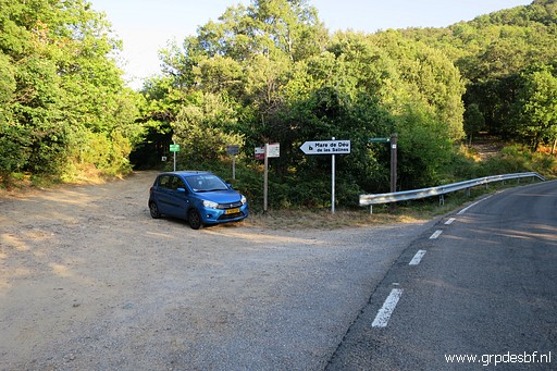 | My starting point: close to restaurant Manrella. (click photo to enlarge) |
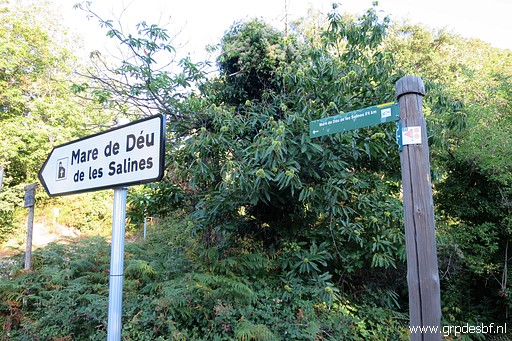 | I take the dirtroad/trail towards the chapel of Mare de Déu de les Salines. (click photo to enlarge) |
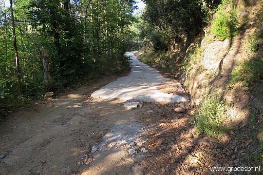 | Parts of the trail are paved but driving here with an ordinary car is out of the question. (click photo to enlarge) |
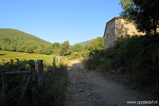 | I arrive at Coll de Lli with an empty or abandoned house. (click photo to enlarge) |
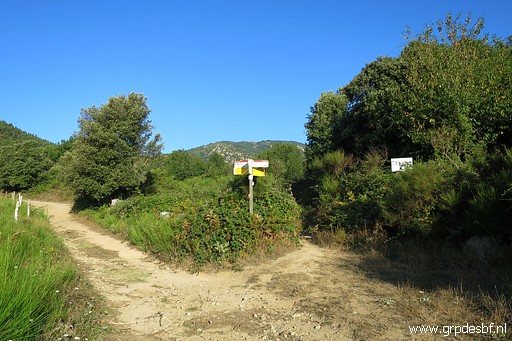 | To the right is towards the French village of Les Illas (click photo to enlarge) |
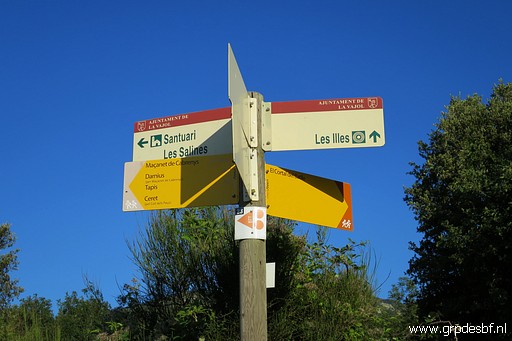 | The signs in detail. (click photo to enlarge) |
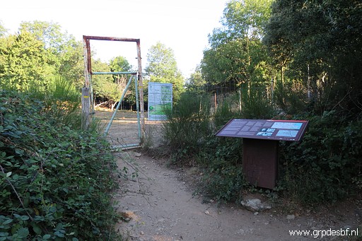 | About 50m in the direction of Las Illas there is a gate on the borderline with (click photo to enlarge) |
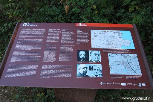 | an information board (click photo to enlarge) |
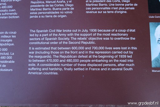 | about the refugees of the Spanish civil war who fled to France after the victory of Franco. (click photo to enlarge) |
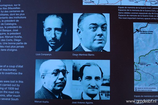 | Some important leaders of the Republicans fled to France via Col de Lli, (click photo to enlarge) |
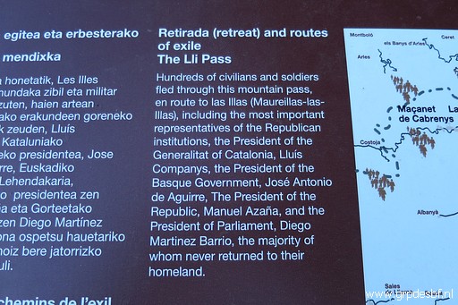 | never to return again. (click photo to enlarge) |
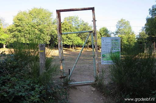 | Entering the gate (click photo to enlarge) |
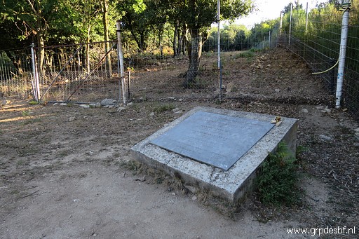 | where a large memorial plaque (click photo to enlarge) |
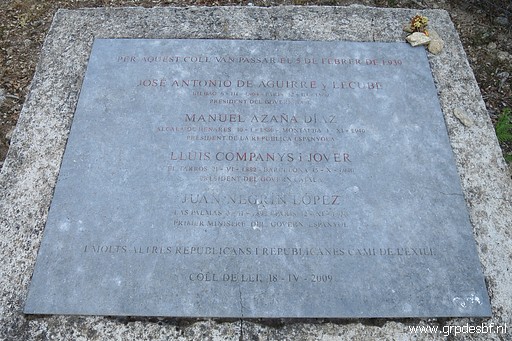 | remembers those 4 leaders. (click photo to enlarge) |
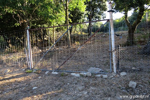 | This picture shows where my trip is all about. Huge fences have been erected along the border and into France. One should cross the fence here to proceed to bm558 but the new fence is too sturdy and too high. The last time I was here was on 8-4-2008 and and then the barbed wire fences were easy to tackle providing an easy access along the edge of the French field to bm558. (click photo to enlarge) |
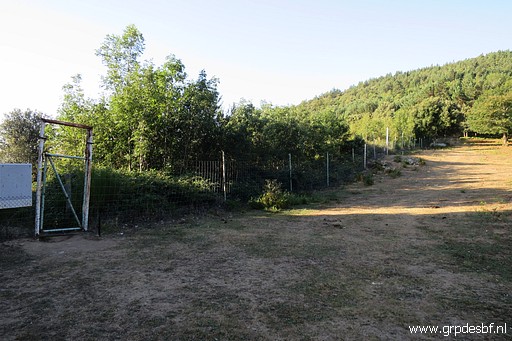 | Looking the other way, towards bm557, the same high fences there. Carlos and Conchita Roca (this is their website) have recently reported about those new fences and written how difficult it was to reach bm558 from the Spanish side. But first I will do bm557 to 554. (click photo to enlarge) |
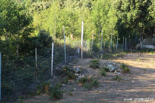 | Zoom-in: bm557 already visible (click photo to enlarge) |
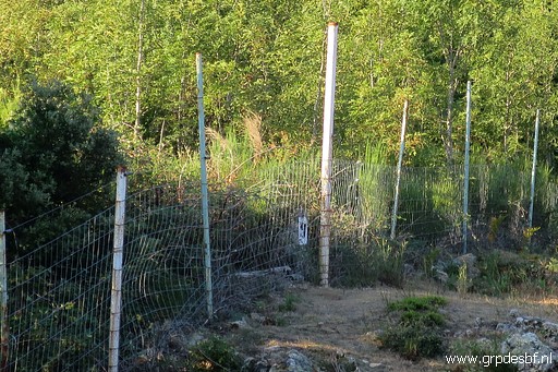 | Bm557 (click photo to enlarge) |
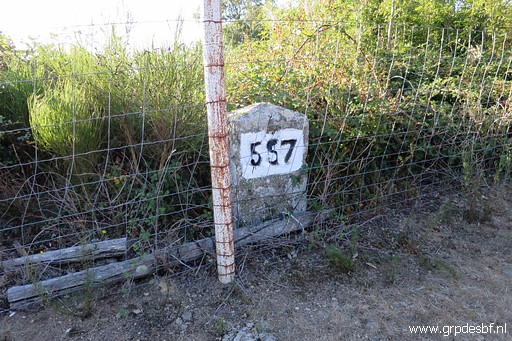 | Bm557 (click photo to enlarge) |
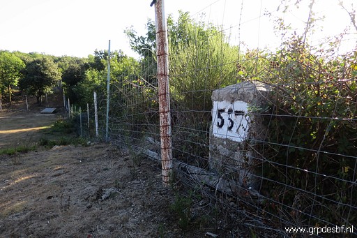 | Bm557 (click photo to enlarge) |
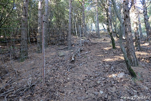 | I continue W along the fence going uphill, (click photo to enlarge) |
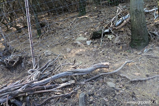 | spotting an opening in the fence, probably made by animals. (click photo to enlarge) |
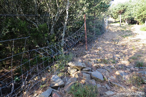 | I know that bm556 is not visible from the path. So I have to cross the fence somehow. Luckily, someone has made a 'modification' of the fence which enables me to step over it. (click photo to enlarge) |
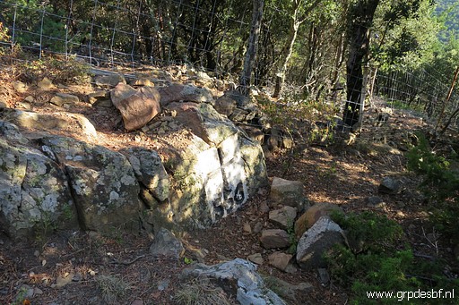 | Bm556, its face turned away from the fence and path. (click photo to enlarge) |
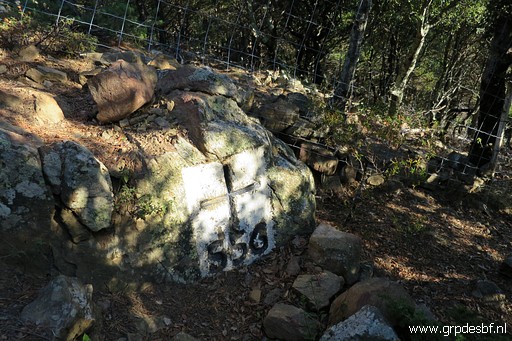 | Bm556 (click photo to enlarge) |
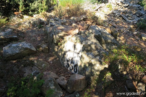 | Bm556 (click photo to enlarge) |
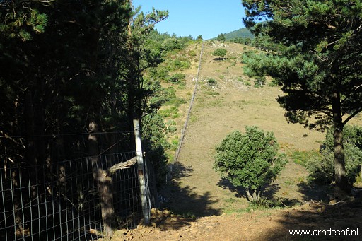 | I continue along the borderfence and (click photo to enlarge) |
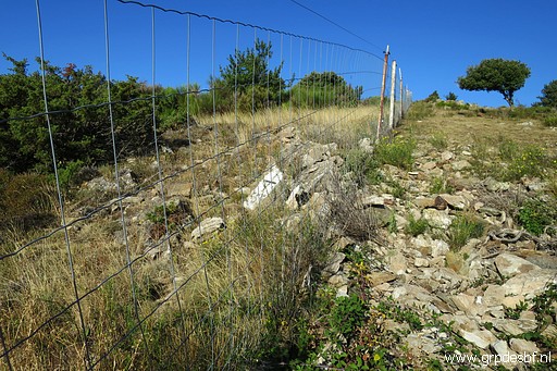 | arrive at bm556 which is at the other side of the fence. (click photo to enlarge) |
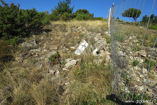 | Bm555, picture made with the camera through the fence. (click photo to enlarge) |
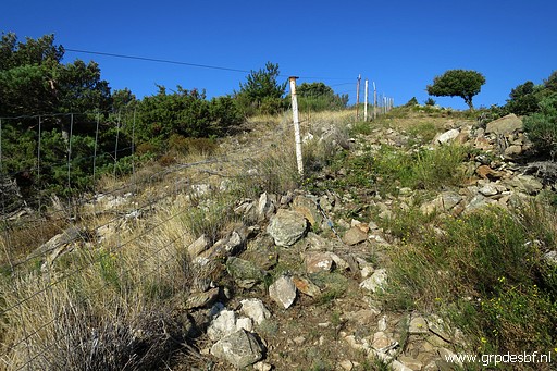 | Also here, it is possible to cross the fence because someone cut the upper part. (click photo to enlarge) |
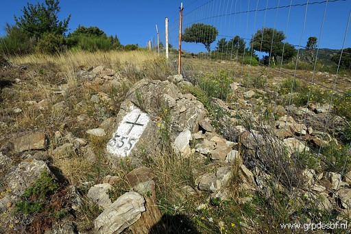 | Bm555 (click photo to enlarge) |
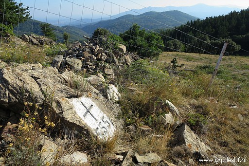 | Bm555 (click photo to enlarge) |
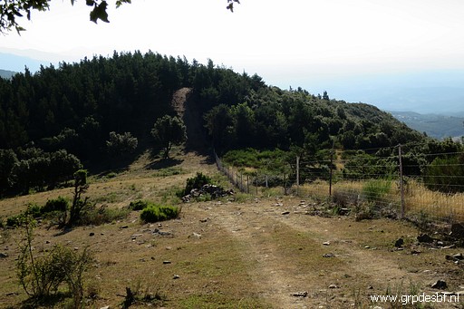 | A bit further, looking back with the small pile of rocks where you can find bm555 (on the other side of the fence). (click photo to enlarge) |
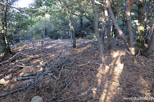 | In the forest I continue with a steep descent along the fence. I spot at the other side of the fence (click photo to enlarge) |
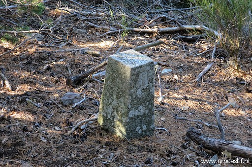 | an unknown marker, probably a Spanish comarcal marker. (click photo to enlarge) |
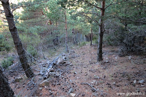 | Though it might not look that way, the descent is steep. The fence helps in navigating because the fence is the border and is useful for holding on. (click photo to enlarge) |
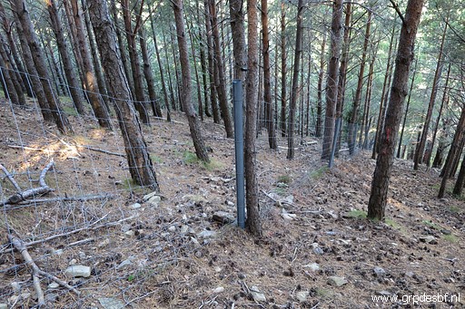 | At one point the fence is damaged. (click photo to enlarge) |
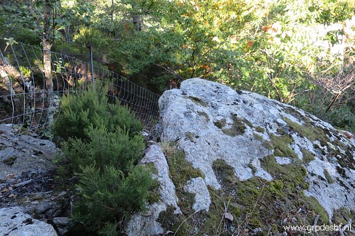 | I arrive at a rock and beyond it's too steep so I bend away from the fence (click photo to enlarge) |
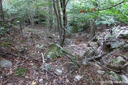 | and descend further to the bottom of the hillside. (click photo to enlarge) |
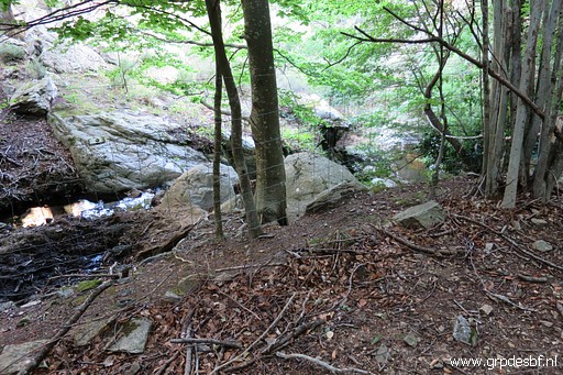 | And that bottom is here: at a stream. The fence here is easy to cross. (click photo to enlarge) |
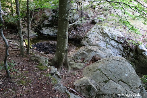 | Crossing the stream at this point and then I go to the left for about 15m (click photo to enlarge) |
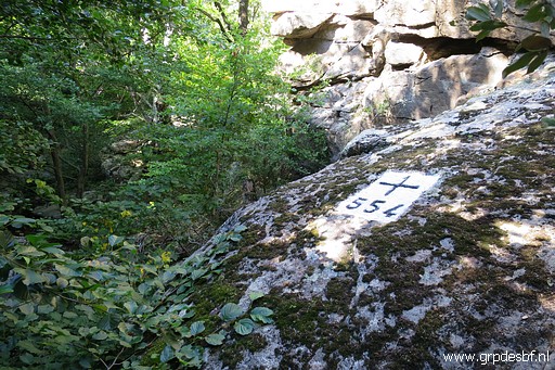 | to find bm554 (click photo to enlarge) |
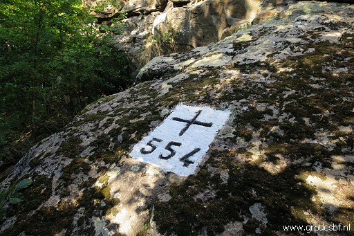 | Bm554 (click photo to enlarge) |
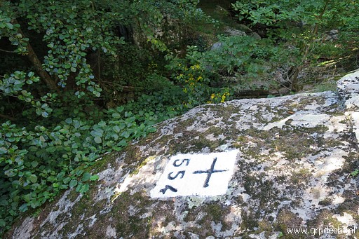 | Bm554 (click photo to enlarge) |
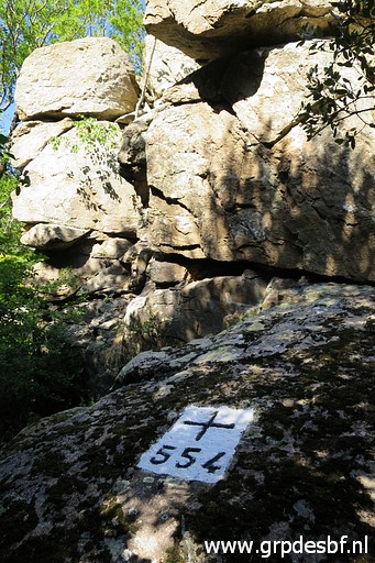 | Bm554 (click photo to enlarge) |
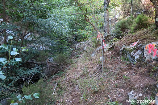 | My next goal is to check the route uphill on the other side (W) of the stream. I return to the crossing point of the stream, continue a bit along the stream on its W-side (for about 50m) until I reach this fence going uphill. (click photo to enlarge) |
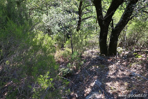 | I climb along that fence uphill, alternating from one side to another and making small detours whenever needed. (click photo to enlarge) |
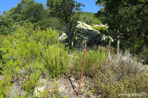 | Having arrived at the top of the hillridge. (click photo to enlarge) |
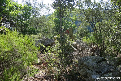 | A bit further, there is hunter's post P4: a rock-triangle. (click photo to enlarge) |
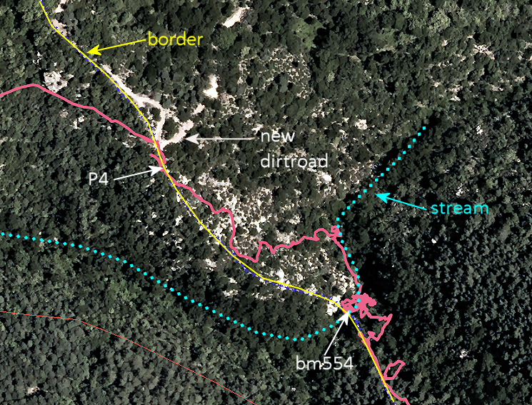
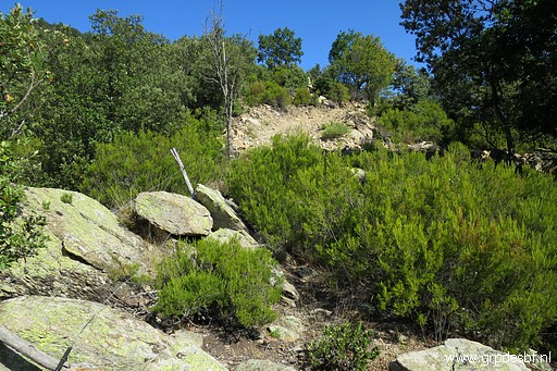 | And just beyond P4 I spot a rough dirtroad. And that dirtroad is quite new: it is not visible on the latest Google Earth images. But I can spot it on the orthophotos of the online mapsite of the Catalan geographic Institute. It descends to Las Illas. See further on for an annotated screenprint. (click photo to enlarge) |
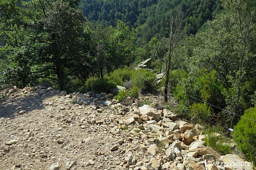 | Now I am at the dirtroad, looking back to P4 (the small triangle rock). When coming from here, you should head for P4 and then descend along the fence to the stream. Then go ± 65 to the right along the stream and you will arrive at bm554. (click photo to enlarge) |
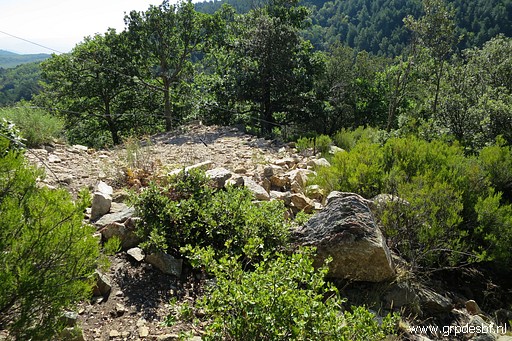 | The dirtroad makes a sharp bend at this place. And at this bend I enter the forest NW- crossing a fence - at this spot. This picture: from the entrance of the trail, looking to the dirtroad. It is not that obvious that a trail starts/ends here. (click photo to enlarge) But, let's show it all on a map: |
 |
|
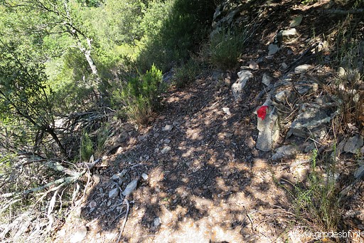 | The trail downhill is a red waymarked path (click photo to enlarge) |
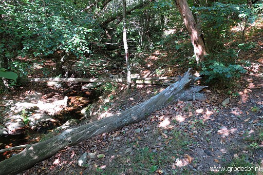 | which descends to a stream and crosses it. (click photo to enlarge) |
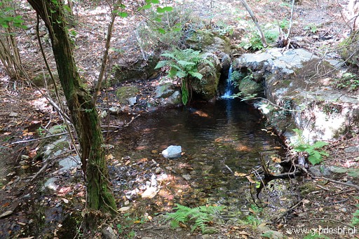 | The trail makes a V-bend at the stream and climbs S (click photo to enlarge) |
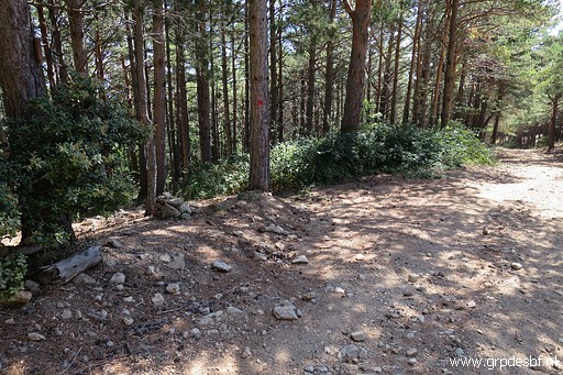 | to the dirtroad which leads to cq comes from Mare de Déu de les Salines. (click photo to enlarge) |
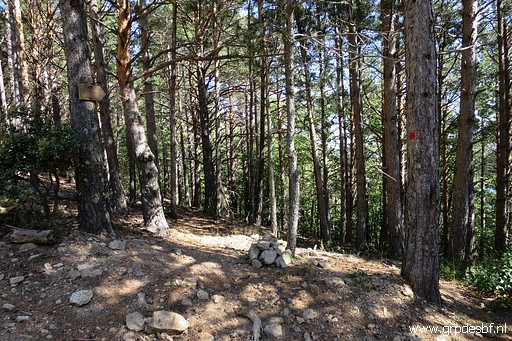 | The start of the trail downhill to the stream is marked with a cairn (click photo to enlarge) |
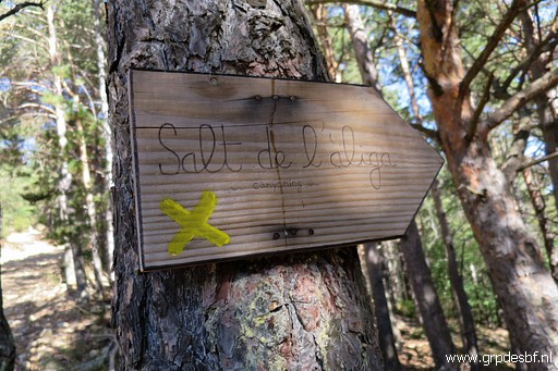 | and this waysign. (click photo to enlarge) |
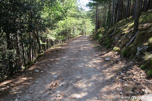 | I return to Coll de Lli on the dirtroad. (click photo to enlarge) |
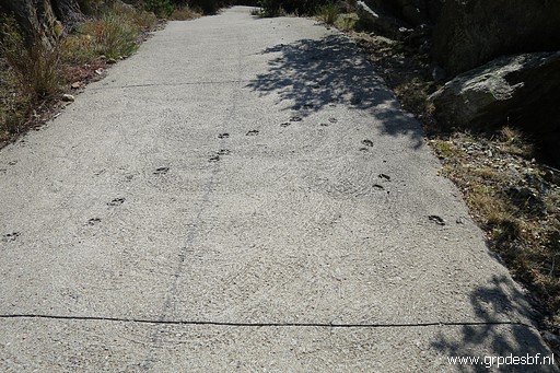 | Some parts are paved with concrete (click photo to enlarge) |
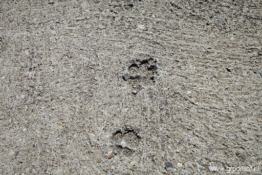 | with the footsteps of some animal. (click photo to enlarge) |
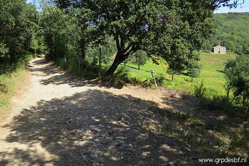 | Almost back at Coll de Lli with its abandoned house. (click photo to enlarge) |
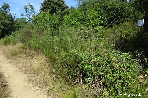 | Back
at the Coll and at the French side I enjoy a lunch-break in the shade.
Then it's time for the second part of my trip: how to get to bm558. Carlos and Conchita needed three trips to wrestle themselves through the 'jungle' to find bm558 from the Spanish side. They advised me to enter the dense forest here. This is the 50m path between the dirtroad near the abondened house and the gate at the border (click photo to enlarge) |
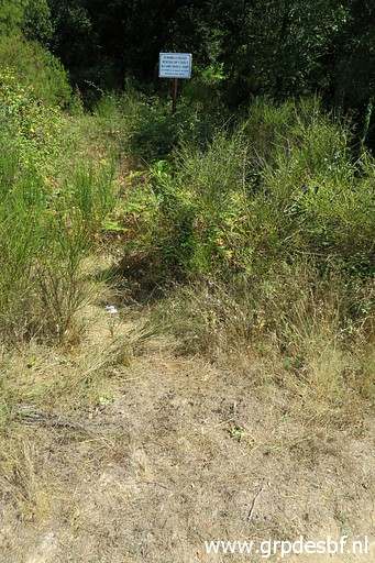 | In the middle of it at its N-side, there is this sign with a faint trail to it. (click photo to enlarge) |
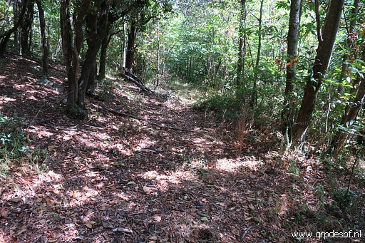 | Beyond that sign a more distinct trail appears. (click photo to enlarge) |
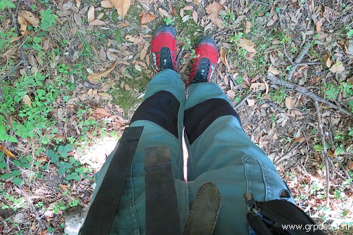 | I take the advice of Carlos and Conchita seriously and I changed my short trousers for these long trousers. Construction worker's trousers like these are anyway my recommendation for walking through rough terrain, especially when brambles are involved. They are strong, have many pockets and are very cheap. (click photo to enlarge) |
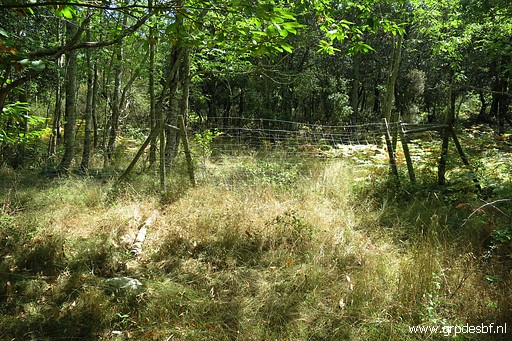 | The path ends after 600m at a fence. Still 500m to go to bm558. I cross the fence a bit to the right and then just head - using my gps - in the direction of bm558. No real trails anymore, sometimes circumventing too dense forest-parts. (click photo to enlarge) |
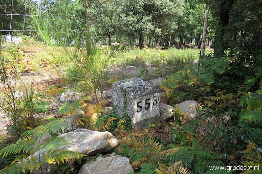 | And in that way I arrive at bm558 (click photo to enlarge) |
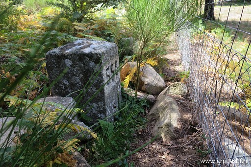 | Bm558, standing at the Spanish side of the fencen. (click photo to enlarge) |
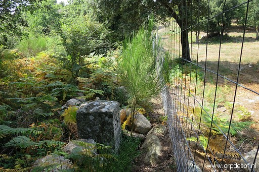 | Bm558, looking W. (click photo to enlarge) |
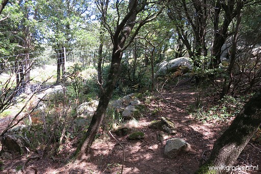 | Then I continue E, towards Coll de Manrella. For about 400m I manage to proceed along the fence or on trails ± 10m parallel to the fence (click photo to enlarge) |
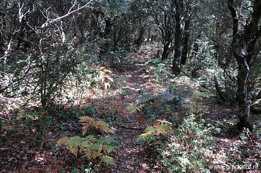 | and
then - the forest becoming too dense - circumventing a small hilltop,
using trails which eventually go the wrong direction, correcting my
course with gps and smartphone (OsmAnd-app) (click photo to enlarge) |
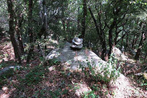 | and sometimes spotting a cairn (click photo to enlarge) |
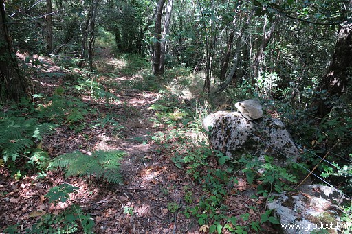 | or two, and finally (click photo to enlarge) |
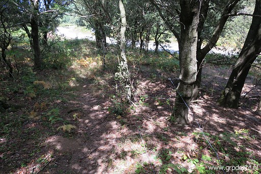 | getting at the edge of the forest with the road to Coll de Manrella in sight. (click photo to enlarge) |
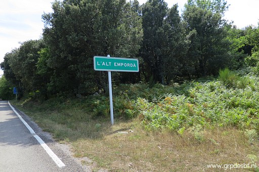 | I emerge from the forest at this corner of the forest. (click photo to enlarge) |
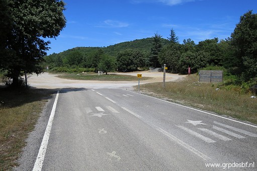 | Arriving at the Coll de Manrella (click photo to enlarge) |
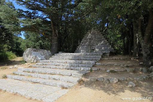 | with the inevitable monument (click photo to enlarge) |
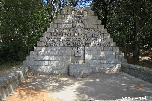 | on the Retirada. (click photo to enlarge) |
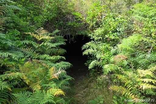 | A small trail brings me along this entrance of a bunker with (click photo to enlarge) |
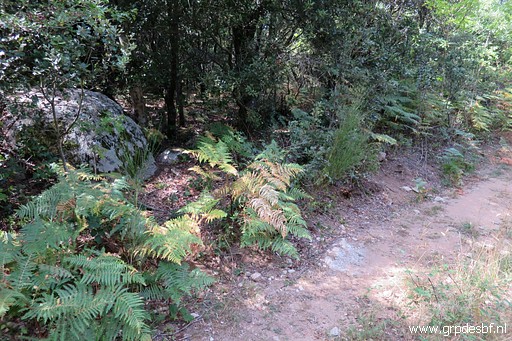 | 20m further a faint trail entering the forest which brings me after 30m (click photo to enlarge) |
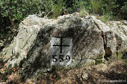 | at bm559. (click photo to enlarge) |
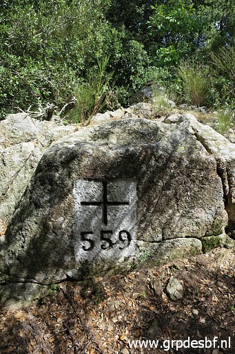 | Bm559 (click photo to enlarge) |
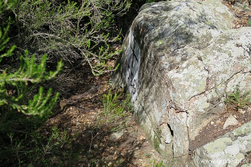 | Bm559 (click photo to enlarge) |
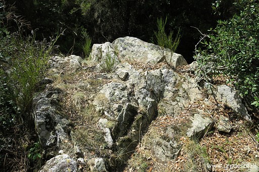 | Bm559, backside. This is how you arrive at the spot, bm559 not immediately visible. Enough for today. I walk back along the hot road for 2km to my car and return to the camping. (click photo to enlarge) |
 previous
trip
next
trip previous
trip
next
trip  |
|
