|
The
bordermarkers of the Pyrenees : all my trips
 |
|
| -
friday 30 august
2019 - Redoing bm536-542 with Carlos & Conchita |
 |
 |
Summary:
part of a series of 11 trips in august-september 2019 in the
Pyrénées-Orientales, Andorra and the Hautes-Pyrénées. This is trip 6. Today: guiding Carlos and Conchita to bm536-542 south of Coustouges. Their own account of this trip can be seen on their own website. My blog-post on this trip is on this page. My basecamp is the camping in St-Laurent-de-Cerdans. Weather: sunny & hot, threatening thunder in the afternoon. |
 track-20190830.kml
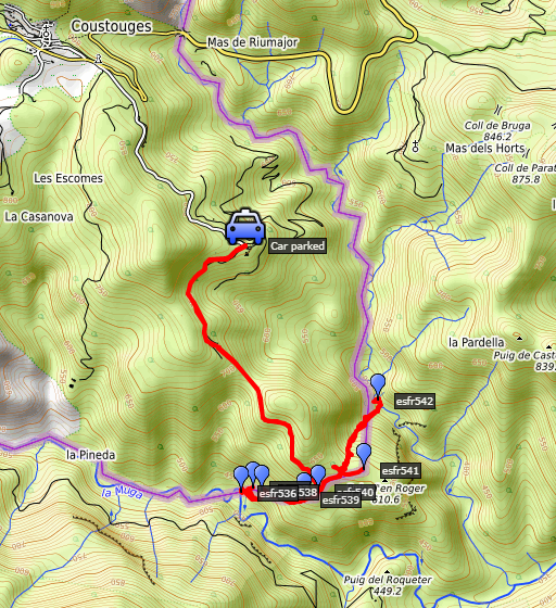
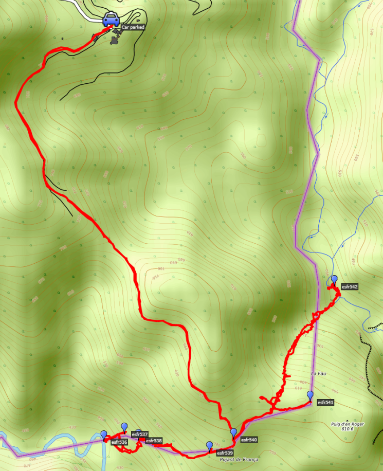
(click to open this trip in Google Earth or copy link to Google Maps; click right on this link to download gpx-version). The gps-track has not been manually corrected which explains the inaccuracy and misalignment at some points. For cartographic backgrounds: see the cartography-page Gps-waypoints of all bordermarkers (most recent version): kml: esfr-bordermarkers-all-waypoints.kml gpx: esfr-bordermarkers-all-waypoints.gpx |
|
 |
According to Garmin
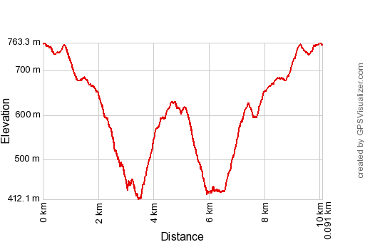
Basecamp (uncorrected track): Distance: 10,1 km Max-height: 760m Min-height: 420m Elevation: +675m -628m Total elevation: 1303m Start 8:30 Finish 16:46 Total time: 8:16 |
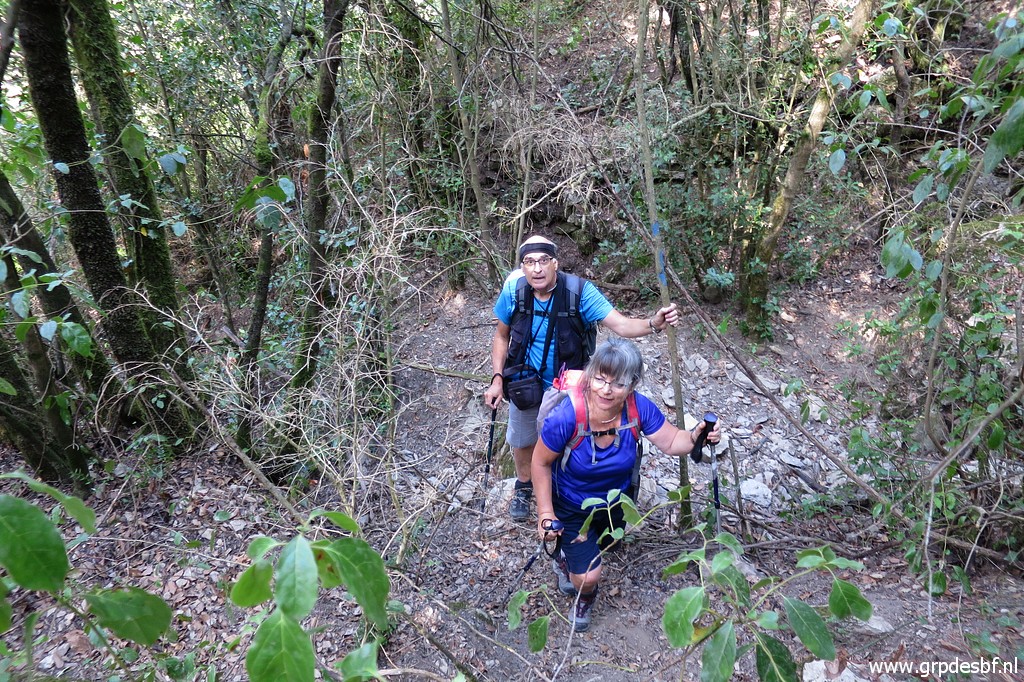
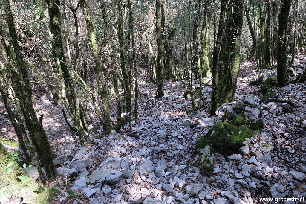
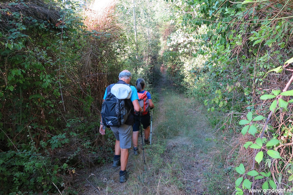 | Early start at the hamlet of Can D'Amunt and on our way to bm540. Carlos and Conchita are devoted bordermarker-searchers in the Pyrénées-Orientales (bm427 to 602). They have almost completed their quest but for some 'difficult' bordermarkers they asked me to guide them. Today, we will do together bm536 to 542. I was here a few days before to do a reconnaissance of the route from bm540 to 537. (click photo to enlarge) |
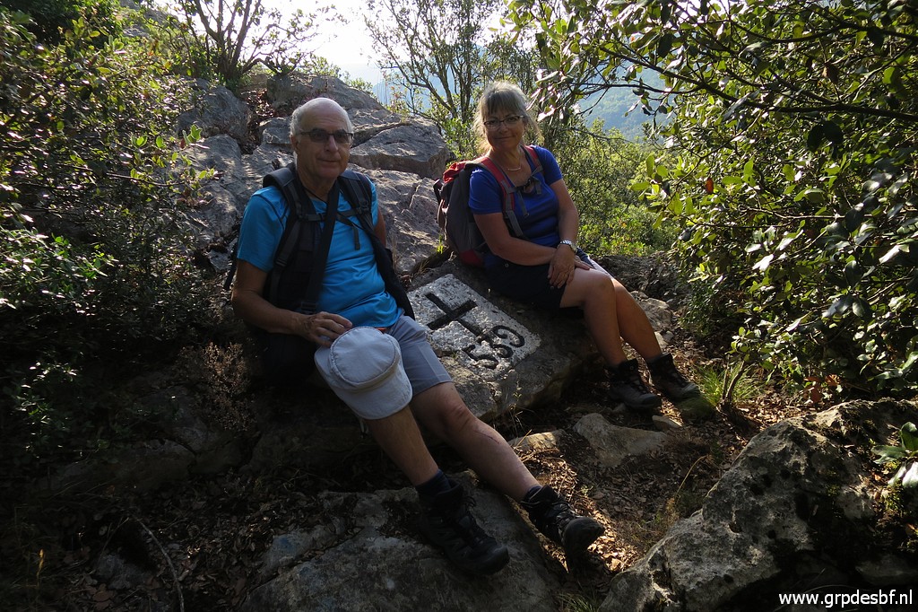
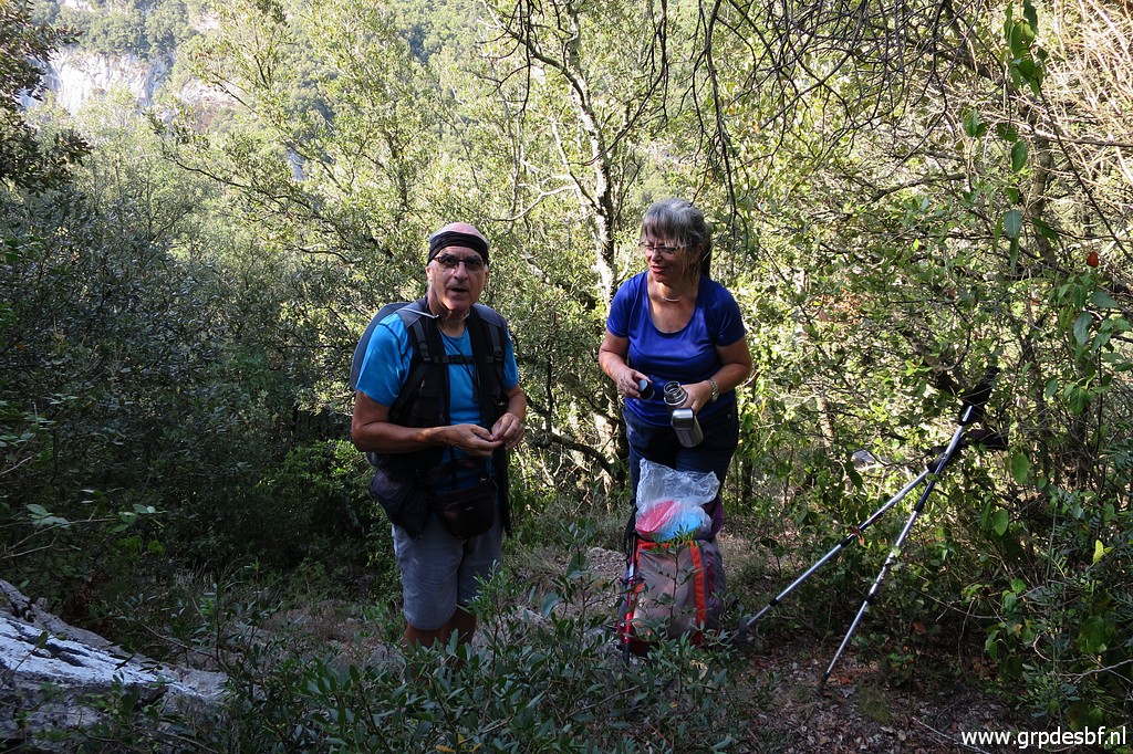
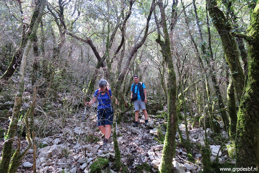
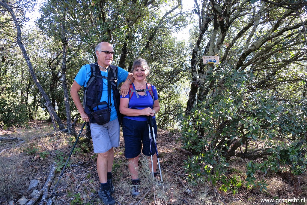 | Carlos and Conchita, still bright and shiny. (click photo to enlarge) |
 | A view to (click photo to enlarge) |
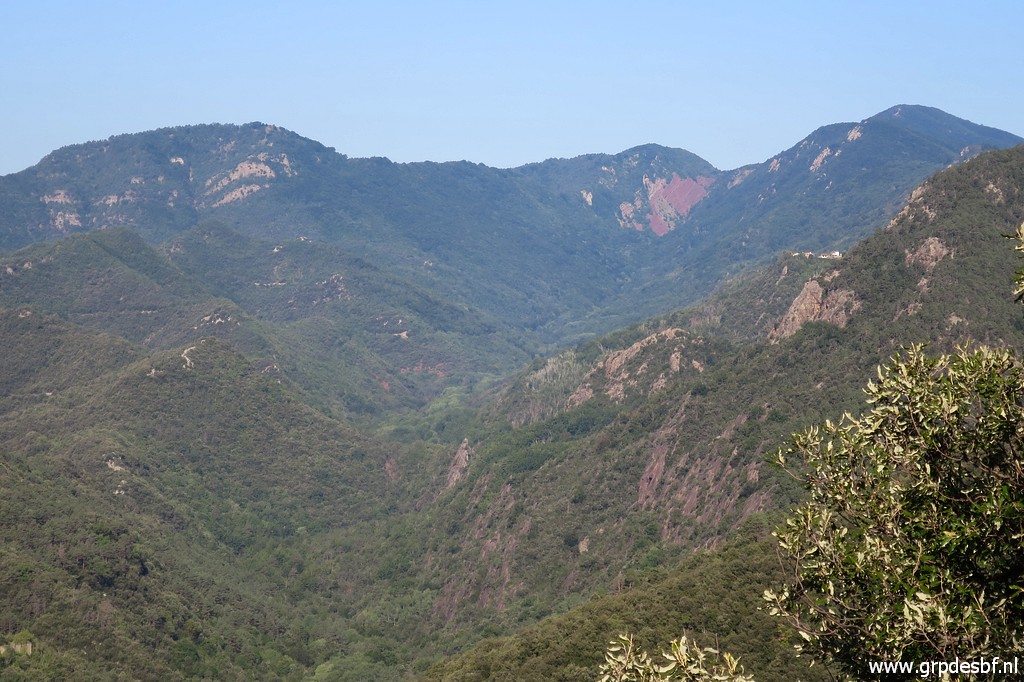 | (zoom-in) the origin of the border-river La Muga: the brown mountain pass in the far distance. (click photo to enlarge) |
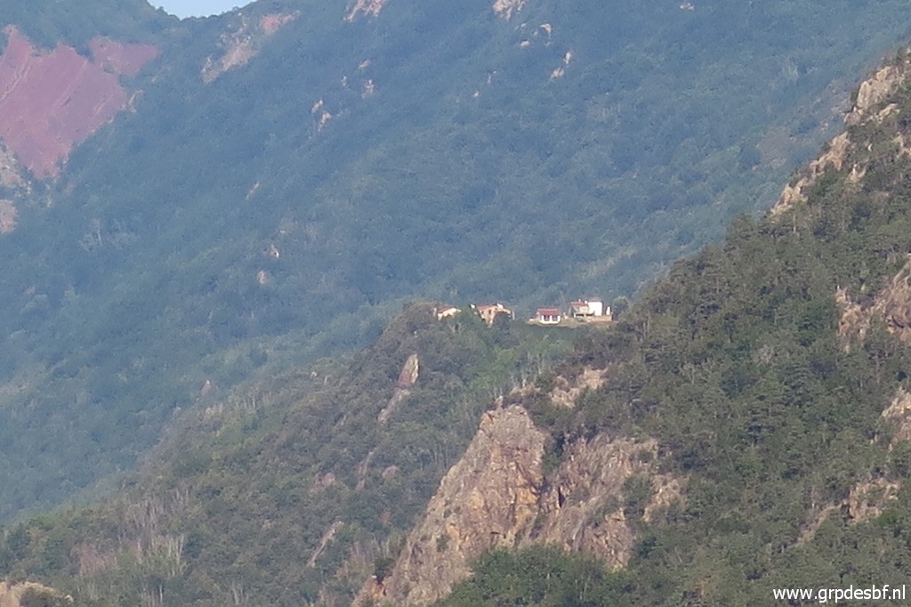 | Zoom in to a hamlet, I wonder which one that is. After studying the maps, I think it is "Les Costes" near the village of Vilaroja. How peaceful it must be and how wonderful the panorama from there. (click photo to enlarge) |
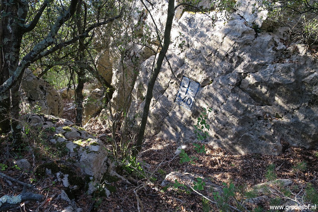 | Having arrived at bm540 after ± 1 hour. (click photo to enlarge) |
 | Bm540 (click photo to enlarge) |
 | Bm540 (click photo to enlarge) |
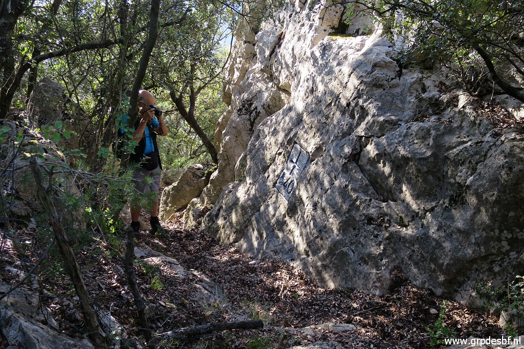
 | Along the cliff going W, we arrive easily at bm539. (click photo to enlarge) |
 | Bm539 (click photo to enlarge) |
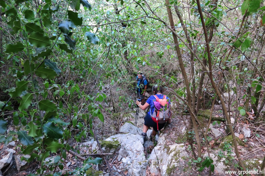
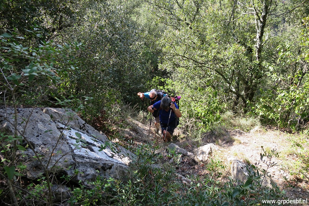
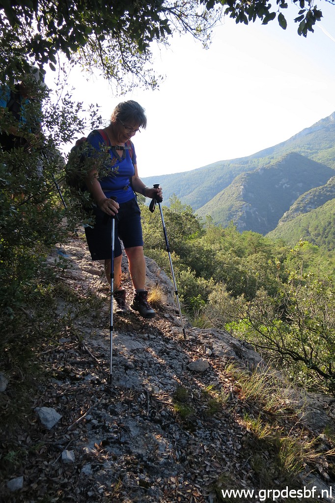 | We continue on the cliff, with some airy parts (click photo to enlarge) |
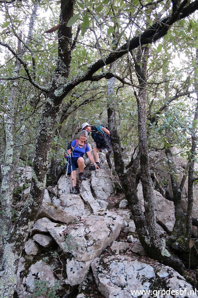 | and a bit of rock scrambling. (click photo to enlarge) |
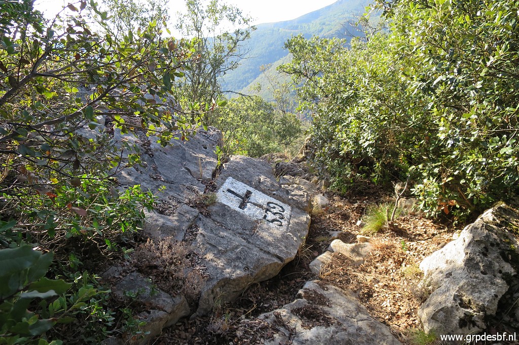
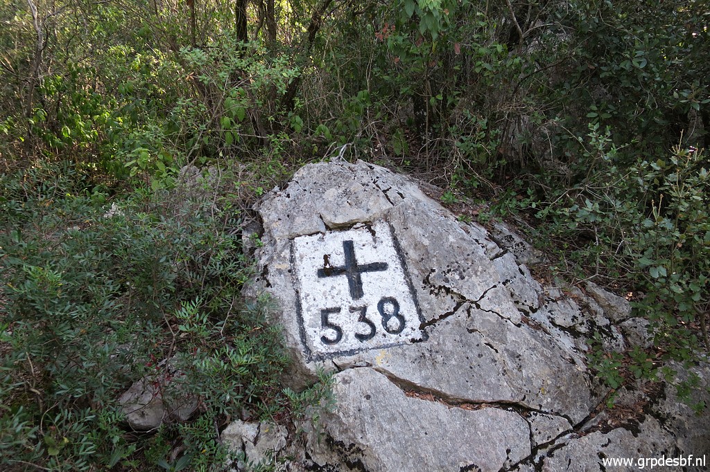 | Having arrived at bm538 (click photo to enlarge) |
 | Bm538 (click photo to enlarge) |
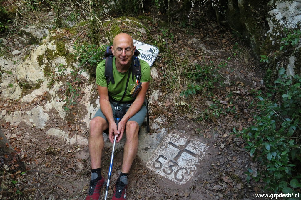
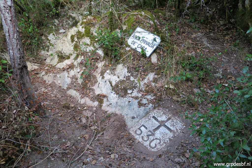
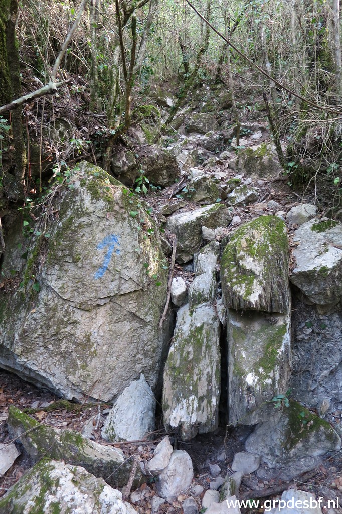
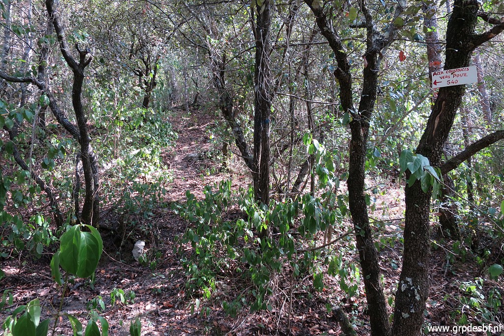
 | Bm538 From here, things get more difficult. The trail descends into Spain but becomes vague. There are blue waymarks on the trees but sparse. Nevertheless we arrive soon at hunter's post 'Poste 538'. From there we navigate to a waypoint which I made 3 days ago from where a more distinct trail appears. It leads to a dry streambed which descends to bm536. (click photo to enlarge) |
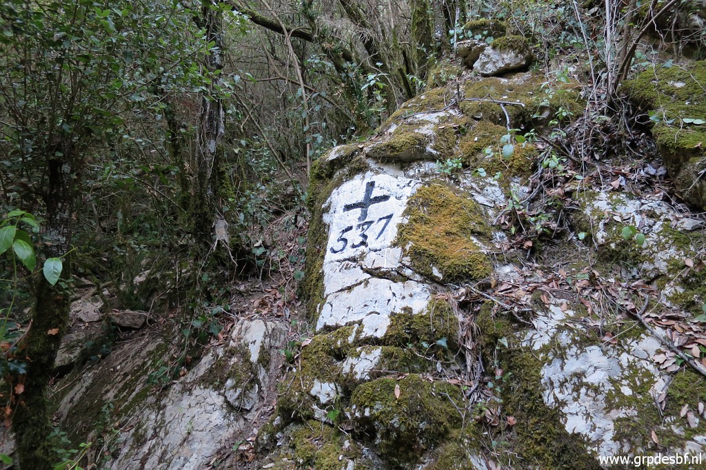 | But first we climb 25m along the streambed to bm537 (click photo to enlarge) |
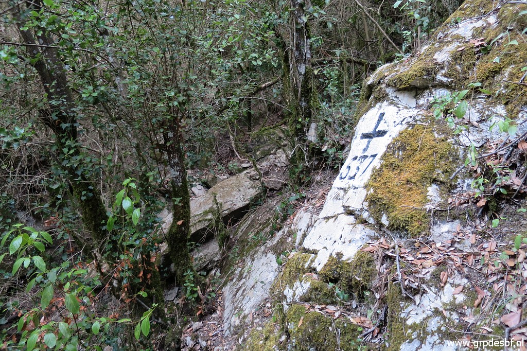 | Bm537 (click photo to enlarge) |
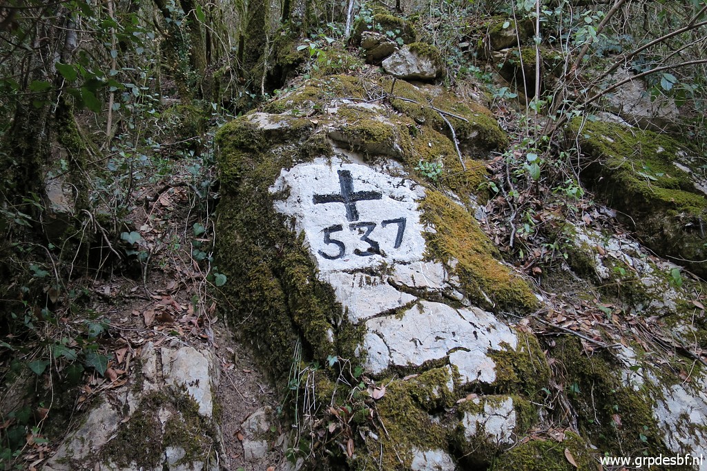 | Bm537 (click photo to enlarge) |
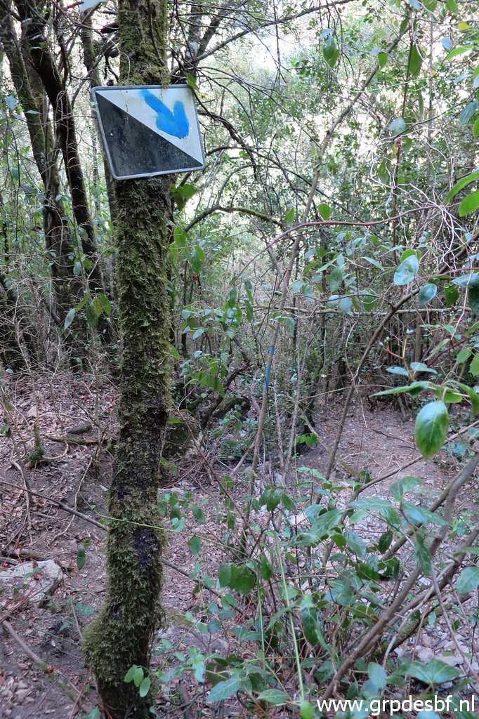 | Back down to where the trail meets the streambed. There I spot now this marker pointing down the streambed. (click photo to enlarge) |
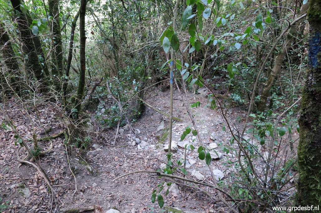 | And there we go, (click photo to enlarge) |
 | down the streambed (click photo to enlarge) |
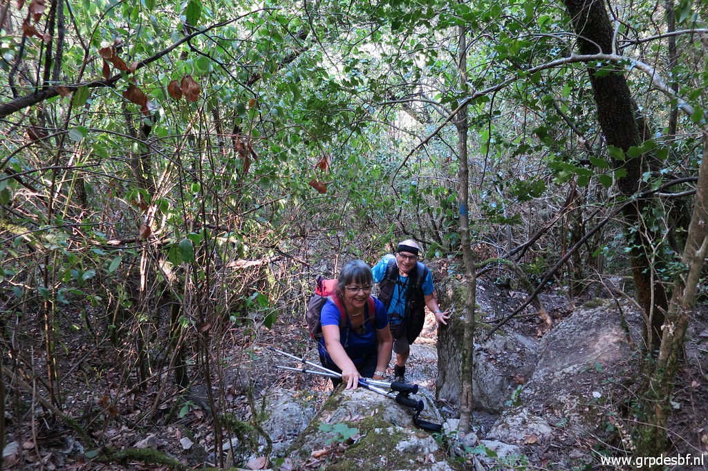
 | which requires some rock scrambling. (click photo to enlarge) |
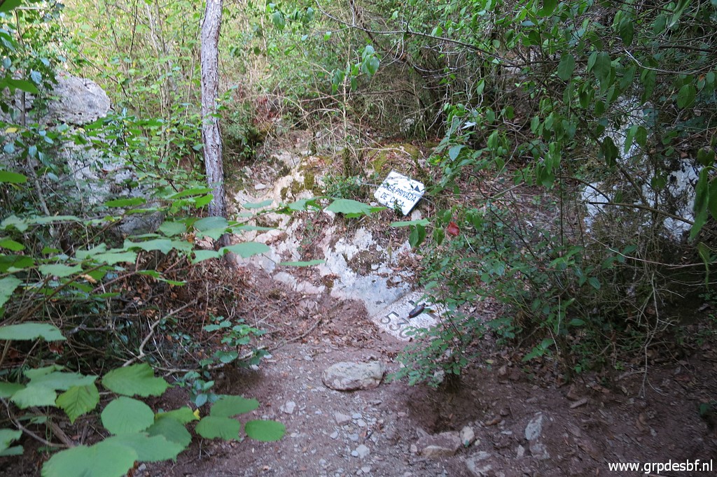
 | And then we arrive at the bottom and at bm536, which we have to clean a bit to reveal cross and number. (click photo to enlarge) |
 | Bm536 (click photo to enlarge) |
 | Bm536 (click photo to enlarge) |
 | Bm536 It lies at the bank of the Muga-river and gets flooded sometimes. (click photo to enlarge) |
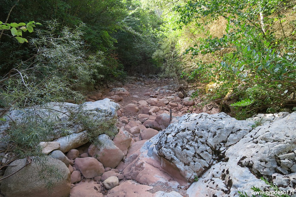 | This
is the streambed of La Muga, which - to my surprise - is completely
dry. There must be running water upstream and downstream but where does
it end before and where does it restart after this dry part? And this is where apparently, the blue trail ends. (click photo to enlarge) But when studying OpenStreetMaps afterwards, I discover something remarkable. |
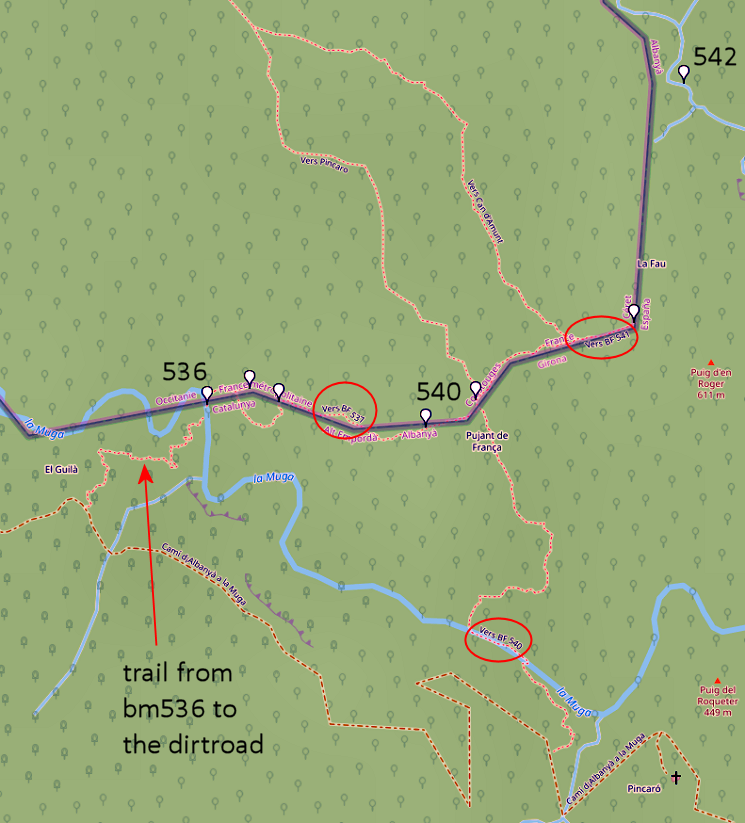 We see all the trails I know in this borderregion including the trail from bm540 along the clif to bm536. BUT: from bm536 there's an extension to the dirtroad uphill! Something to survey in the future. Because that could involve a direct route - when coming from Hostal de la Muga - from the dirtroad to bm536 and uphill to b540. But that is intended for a variant covering bm536-539. The main GRPdesBF-route will continue on the dirtroad ("cami") and climb to bm540. |
|
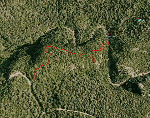 |
And let's show that connection between dirtroad and bm536 on Google Earth. |
 | Bm536 again and then (click photo to enlarge) |
 | we climb back (click photo to enlarge) |
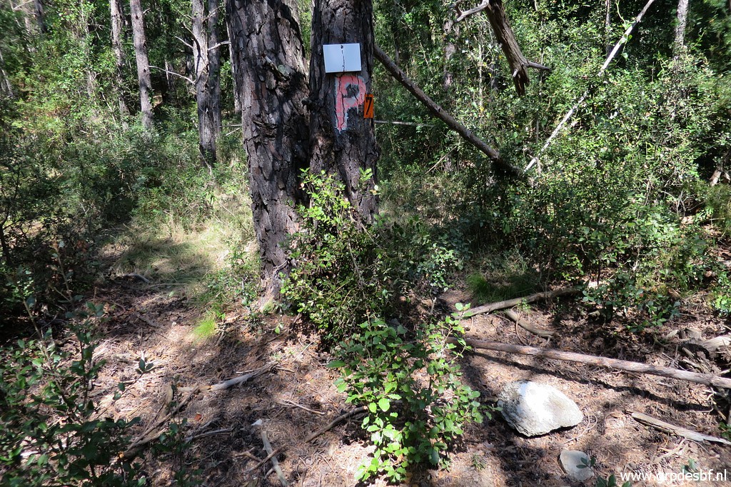
 | along the streambed, spotting some blue waymarks. (click photo to enlarge) |
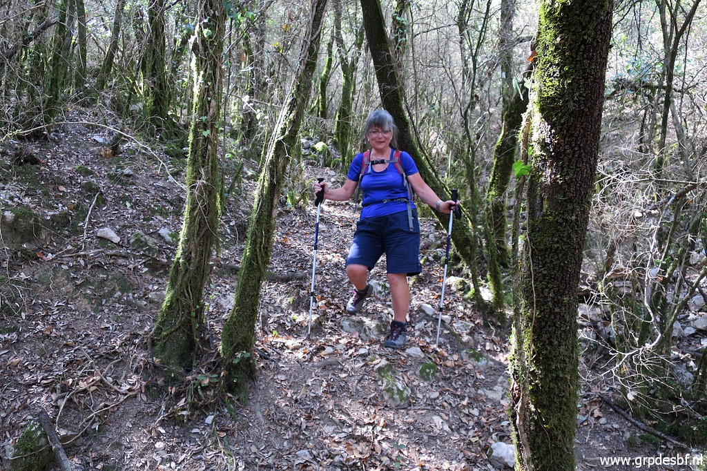
 | My 'clients' keep going strong. (click photo to enlarge) |
 | Back at hunter's post "Poste 538" with a sign pointing the route to bm540 (click photo to enlarge) |
 | and back at bm538. (click photo to enlarge) |
 | We return to bm540. Going back and forth from bm540 to 536 took us ± 2:30h. Then we continue to bm541 via the hunter's post P7. (click photo to enlarge) |
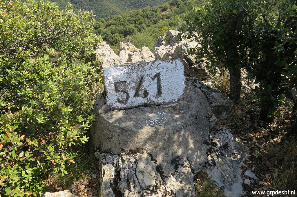 | Bm541 (click photo to enlarge) |
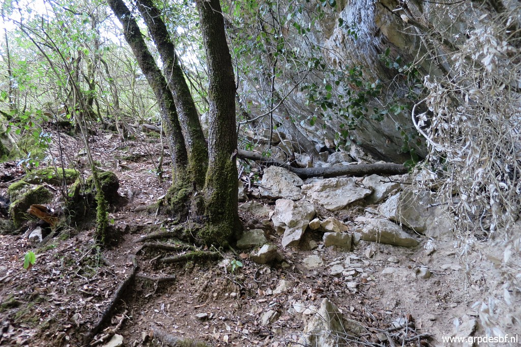
 | Then (back) to P7. That's where we will enter the forest NE to the beginning of a dry streambed. I first do a short reconnaissance while C &C take a rest and then we descend together to the beginning of a dry streambed (click photo to enlarge) |
 | which we follow downhill. (click photo to enlarge) |
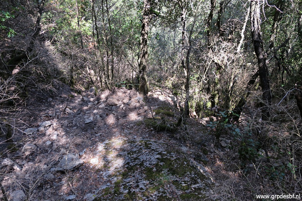
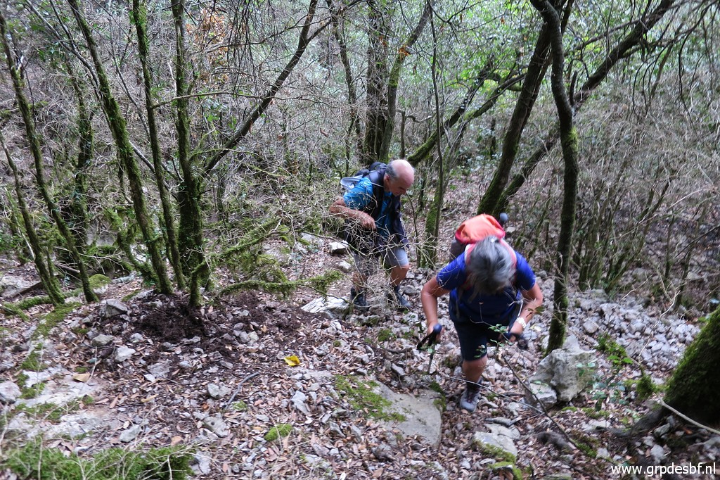
 | Descending in general on the right side of the streambed or in the streambed itself, (click photo to enlarge) |
 | sometimes guided by a cairn. (click photo to enlarge) |
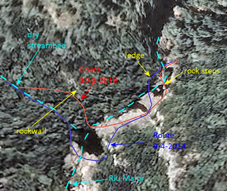
 | We descend until we spot in the deep the stream Riu Major. The previous time I was here (on 14-04-2014), I descended further along the streambed to the stream. For some reason - probably because the last part of the descent along the streambed seemed quite steep - we make a bend to the left towards a rockwall. And from there we manage to descend to the stream. (click photo to enlarge) |
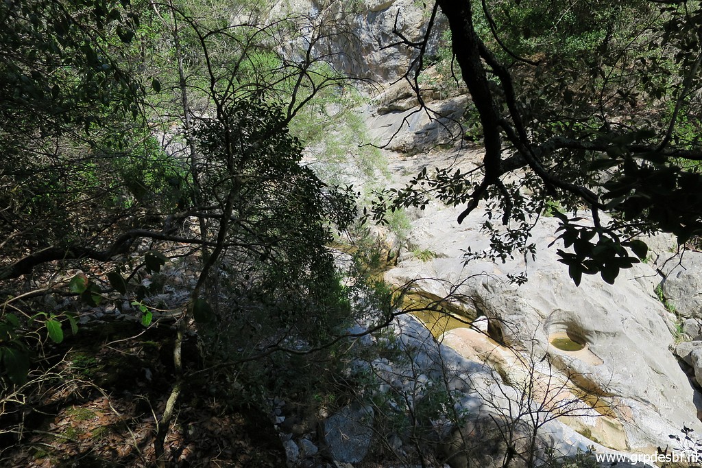 | Arriving at the stream (Riu Major). (click photo to enlarge) |
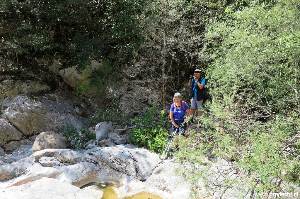 | Carlos and Conchita emerge from the forest. (click photo to enlarge) |
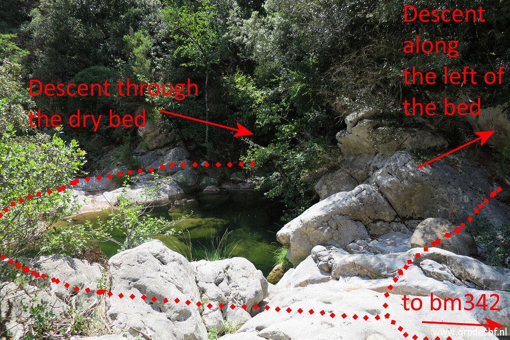 | And that results in a more practical arrival at the stream. In this way we avoid the pool to the left on this picture. (click photo to enlarge) Let's show that better on a map: |
 |
|
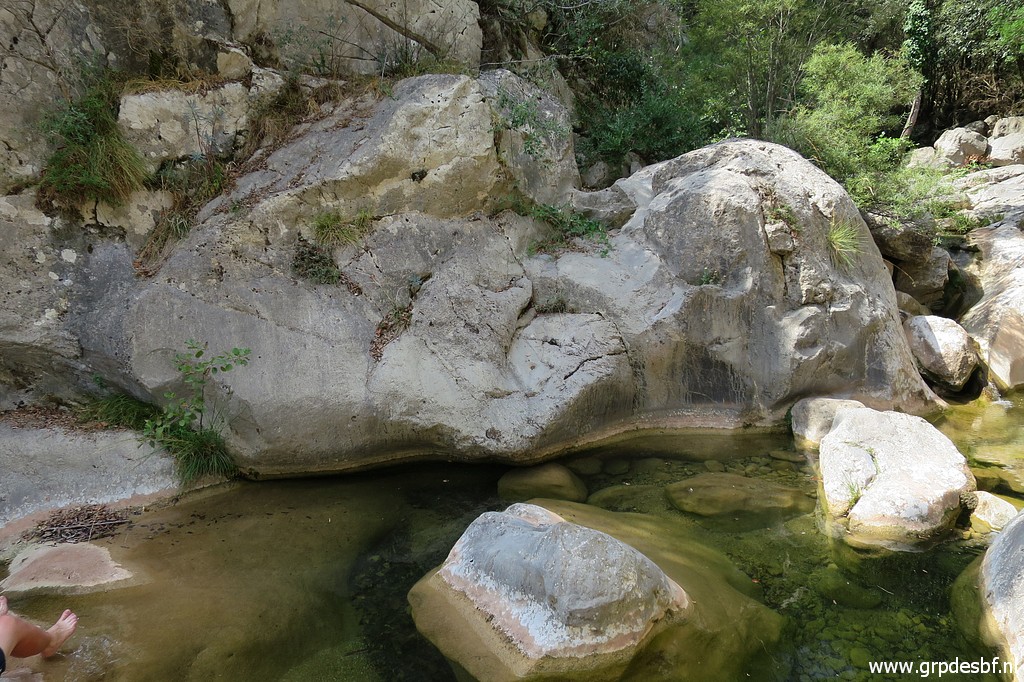
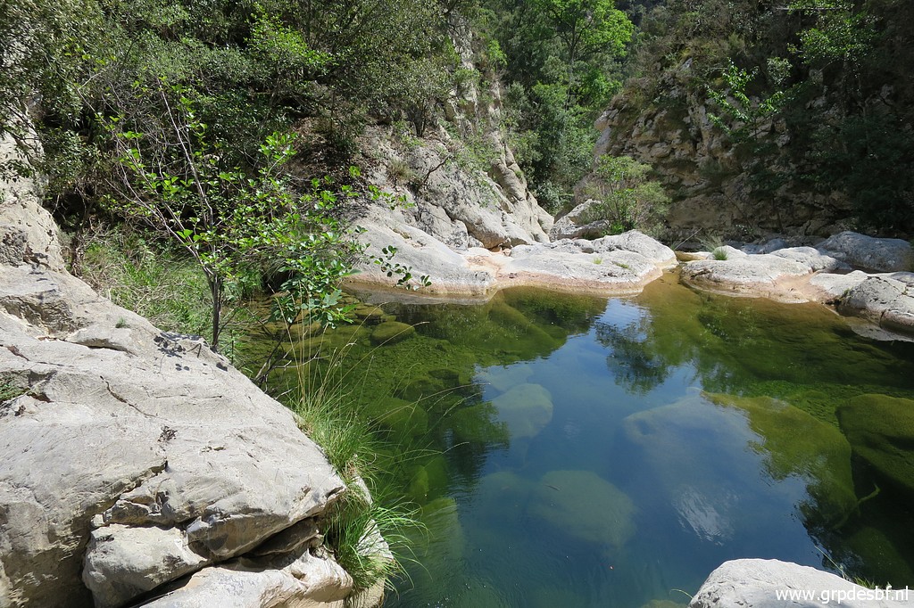 | This is that pool which we avoid now, looking south. (click photo to enlarge) |
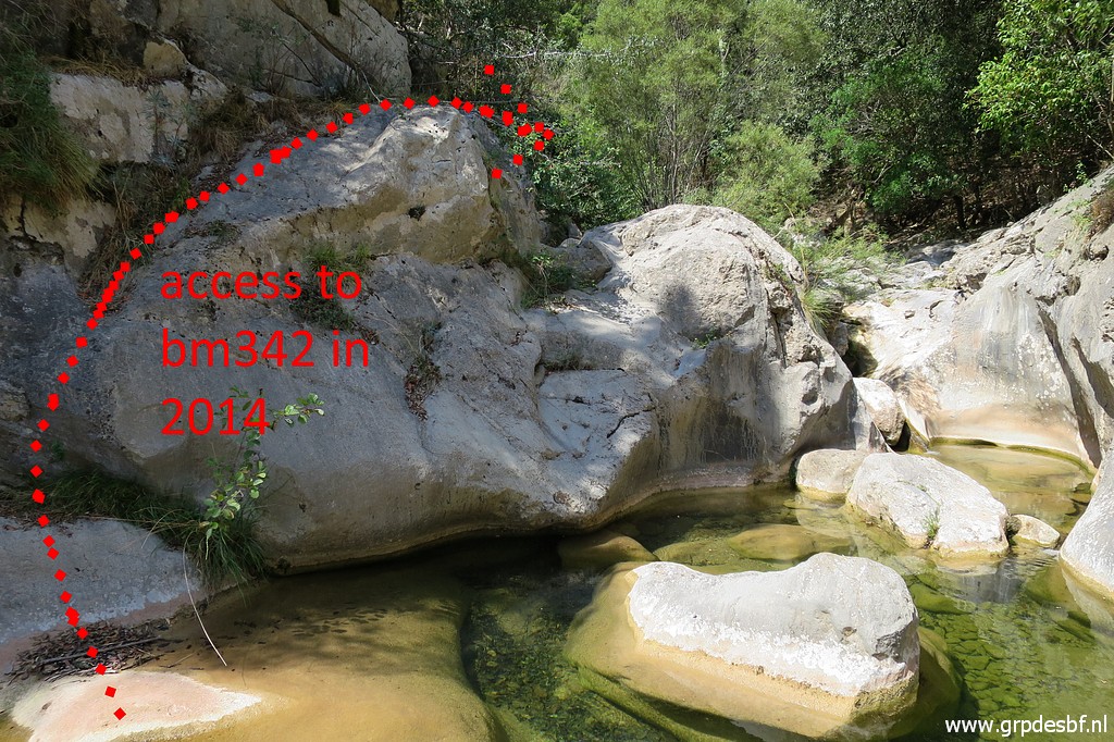 | And this is the pool ahead towards bm542 with my acces in 2014. It felt then too unsafe to return the same way. (click photo to enlarge) |
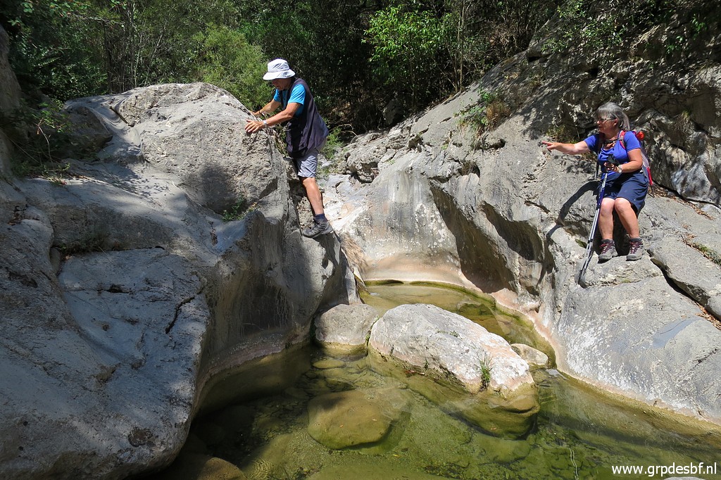 | But Carlos and Conchita are experienced 'mountain goats' and immediately start to try to climb the boulder in between. (click photo to enlarge) |
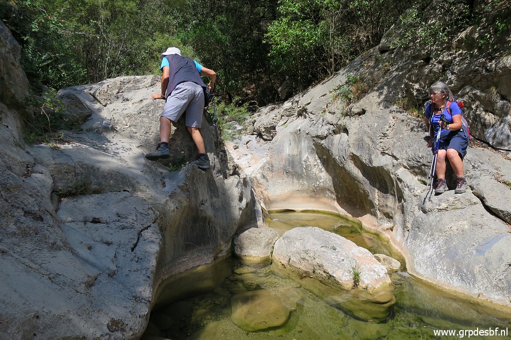 | And that's easier than I thought as a lowland dweller. There are natural 'footsteps' in the rock. (click photo to enlarge) |
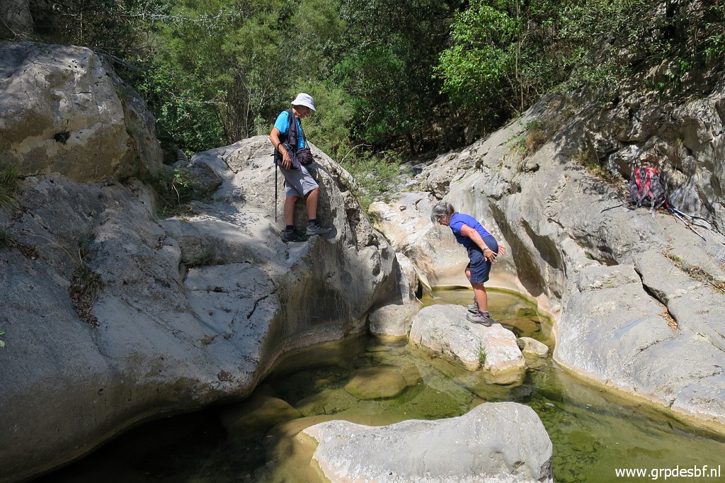 | Now it's the turn of Conchita. (click photo to enlarge) |
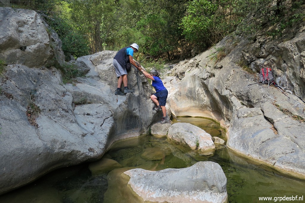 | She needs some help to take the first step (click photo to enlarge) |
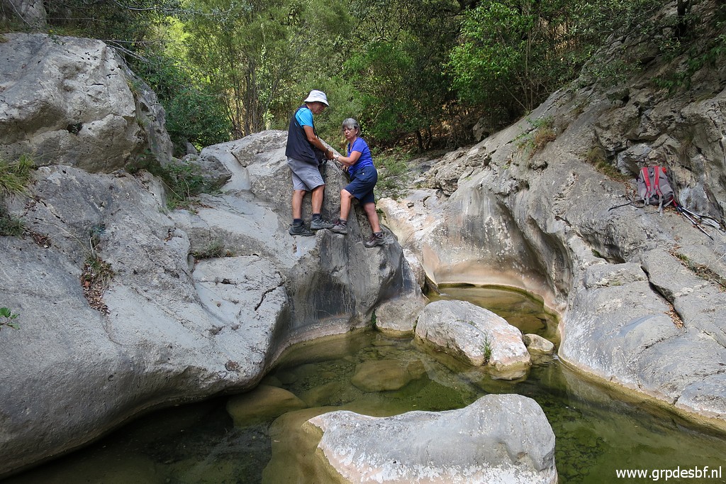 | and succeeds also. I - as the guide - just watch and follow.... (click photo to enlarge) |
 | Then it's an easy 10m to bm542. Carlos cleans it with water. (click photo to enlarge) |
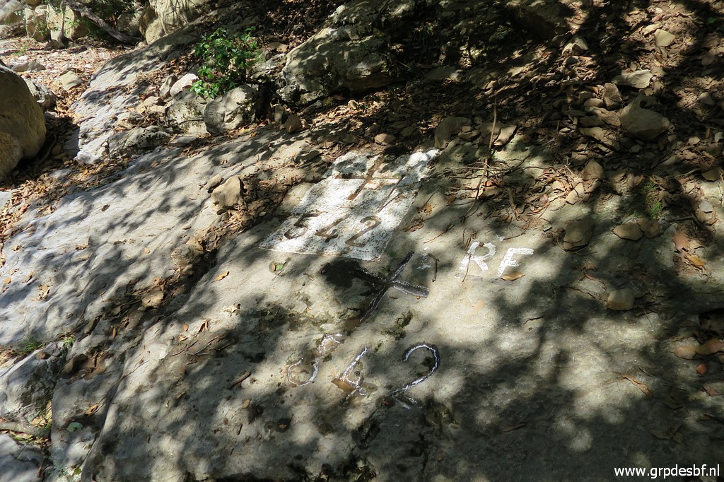
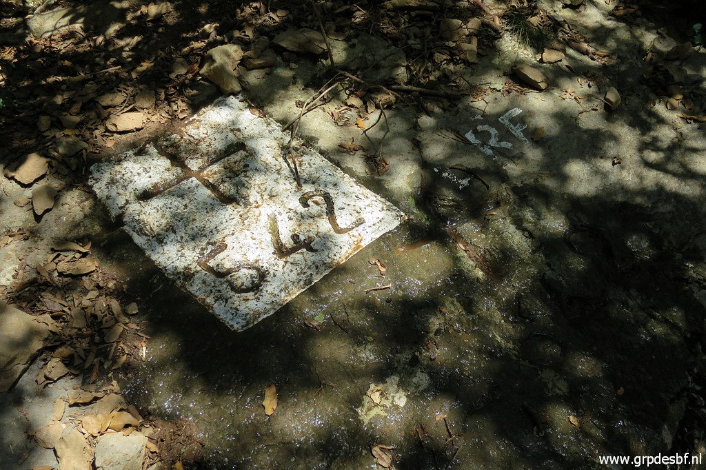 | Bm542 (click photo to enlarge) |
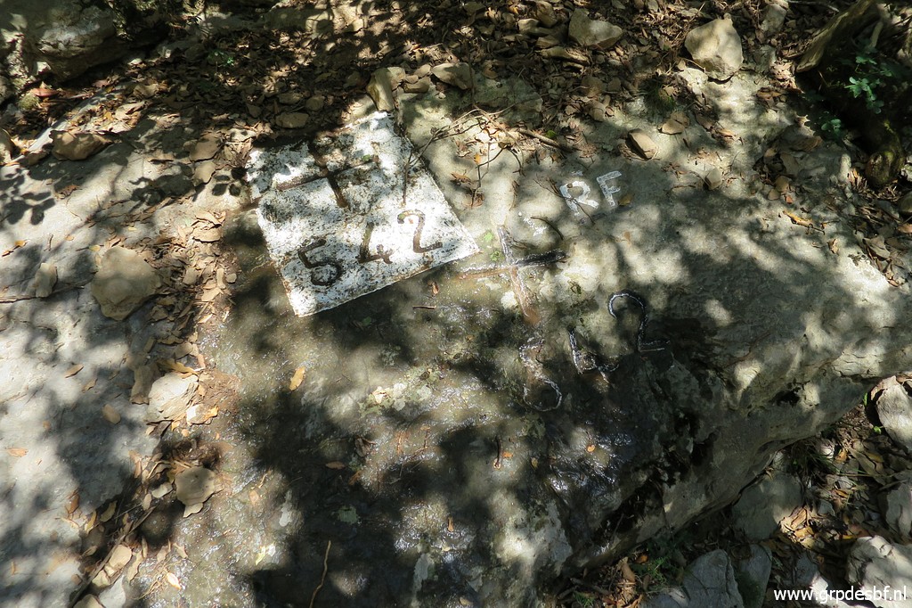 | Bm542, note the second cross and number of which the reason and history are unknown. (click photo to enlarge) |
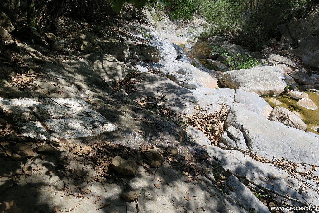 | Bm542, looking downstream. (click photo to enlarge) |
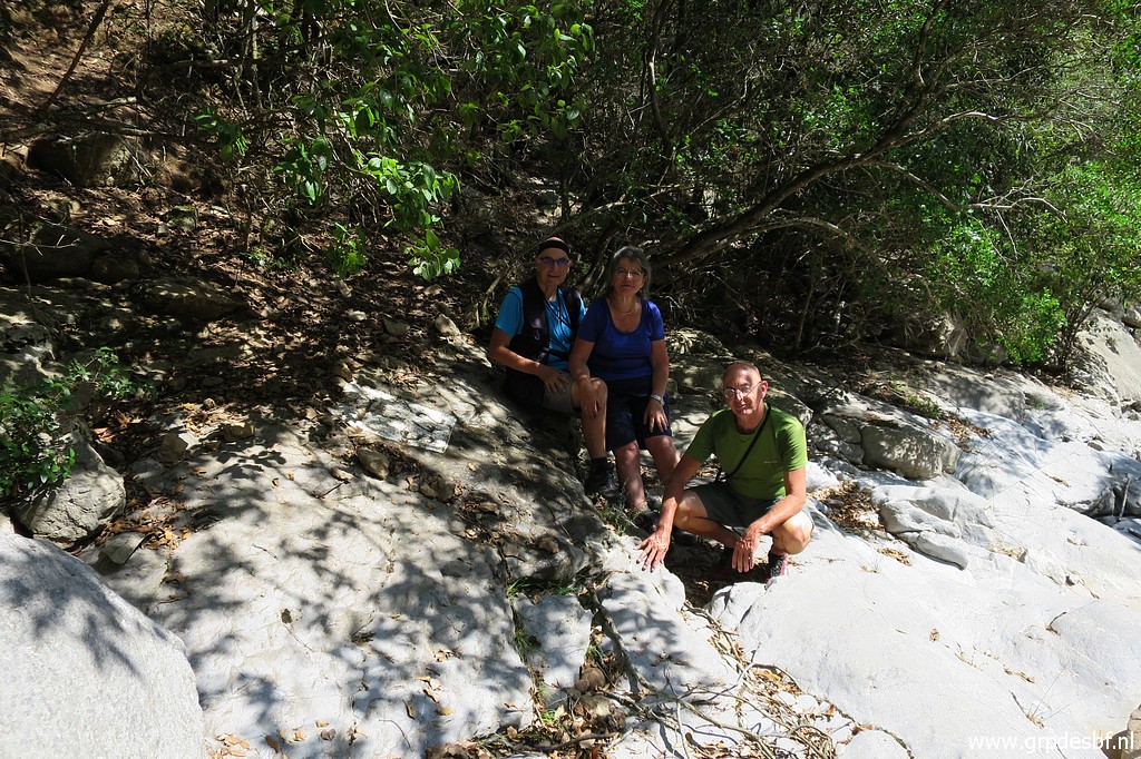 | Portrait of us as the three musqueteers of the border. (click photo to enlarge) |
 | Bm542 (click photo to enlarge) |
 | Bm542 (click photo to enlarge) |
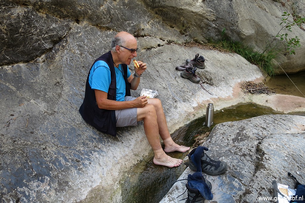 | Then it's time for a well-deserved lunch break while refreshing our feet. (click photo to enlarge) |
 | We return by the same route. Looking back to the rock to tackle. (click photo to enlarge) |
 | We enter the forest where we left it. This is the rockwall in the last part of the descent, mentioned above. (click photo to enlarge) |
 | The climb back is tough and it takes more time to find our way than in our descent. (click photo to enlarge) |
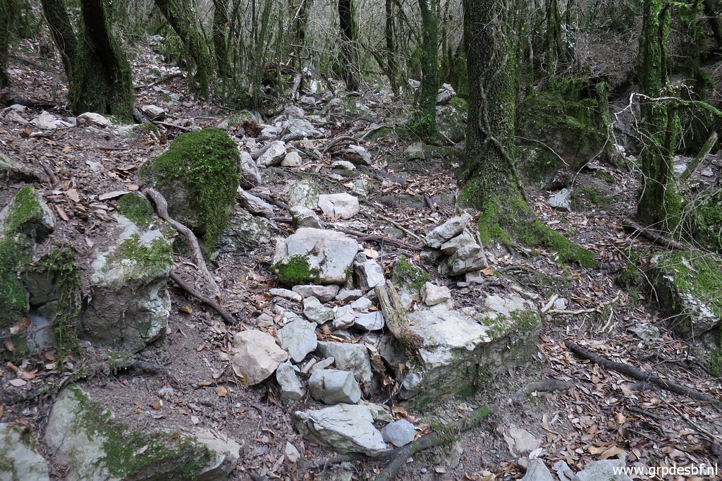 | A
cairn in between but in general you have to find your own way up and
down, most of it on the S-side of the streambed or in the streambed
itself. We hear thunder in the distance but it will remain dry. Back at the trail at P7, we try the direct trail towards Can D'Amunt but it has become too vague in the last years. So we first return to bm540 and then back to Can d'Amunt. Tired but satisfied. (click photo to enlarge) |