|
The
bordermarkers of the Pyrenees : all markers
 |
|
| Bordermarkers
256-264 |
 |
| Notice The pages of the day-trips may give additional information on coordinates, localisation, surroundings and access. They also show (additional) maps. Click on the date-links in the right column. |
|
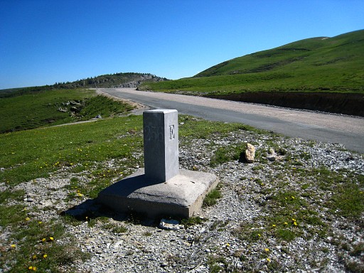 |
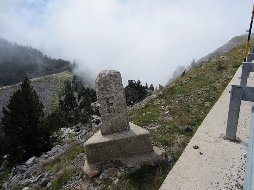
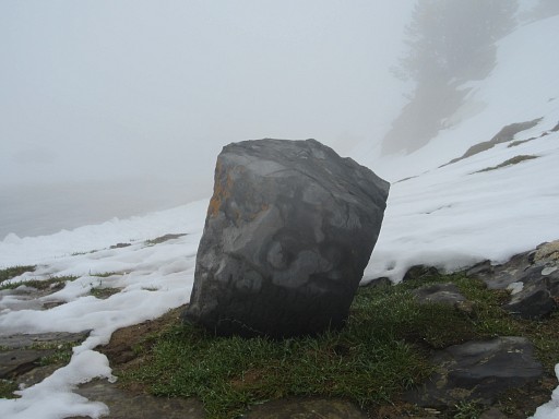
Bm256 Photographed on 20090603 |
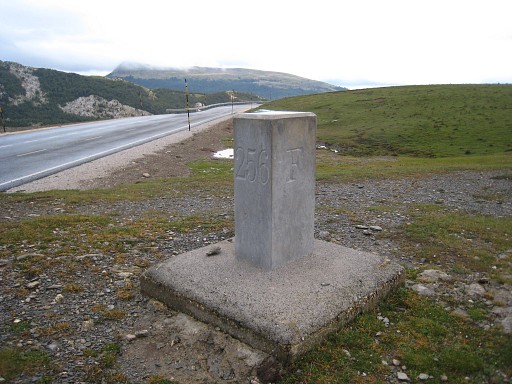 | Bm256 Photographed on 20100908 (more pictures on that page) |
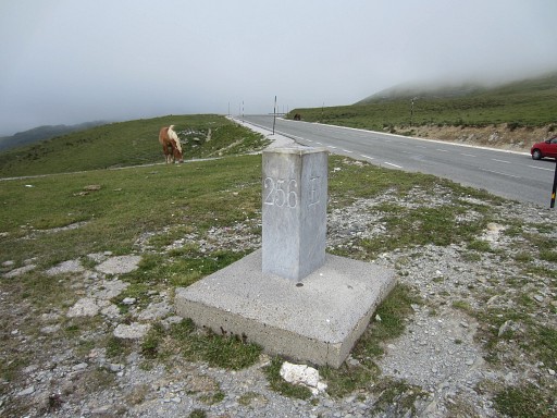 |
Bm256 Photographed on 20130902 (more pictures on that page) |
 |
Bm256 Photographed on 20200909 (more pictures on that page) (click photo to enlarge) |
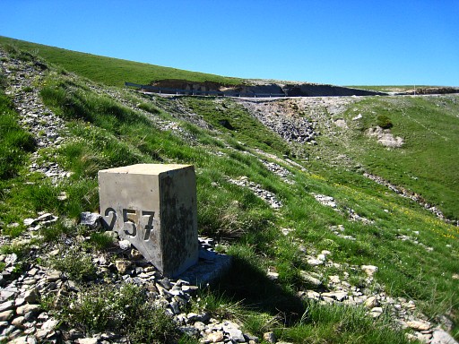 |
Bm257 Photographed on 20090603 |
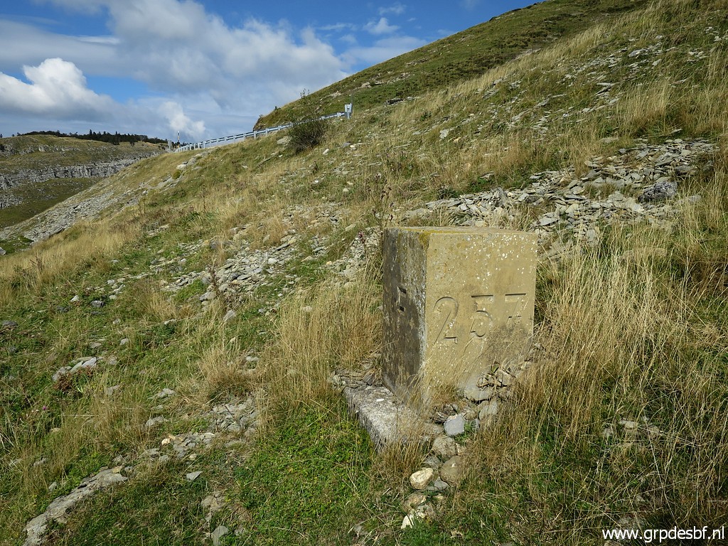 |
Bm257 Photographed on 20200909 (more pictures on that page) (click photo to enlarge) |
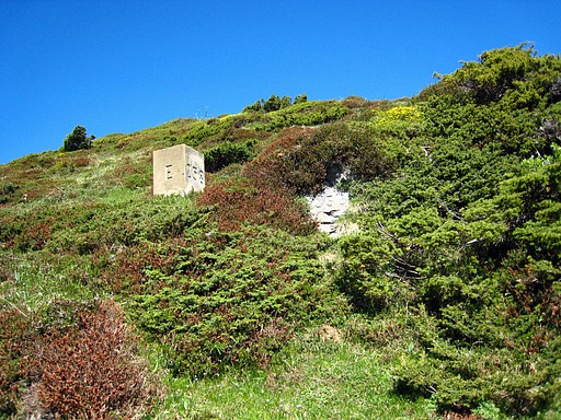 |
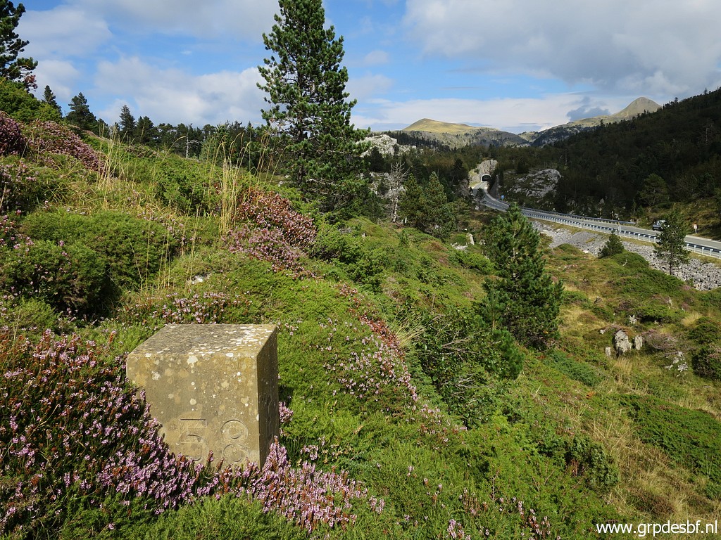
Bm258, cross and stone Photographed on 20090603 (more pictures on that page) This bm was moved from another place to this spot around 1985. The same was done with bm259 in order to facilitate a more straight new road. Two triangular pieces of territory of equal size were interchanged between France and Spain. See this pdf with a map of it. |
 |
Bm258 Photographed on 20140831 (more pictures on that page) |
 |
Bm258 Photographed on 20200909 (more pictures on that page) (click photo to enlarge) |
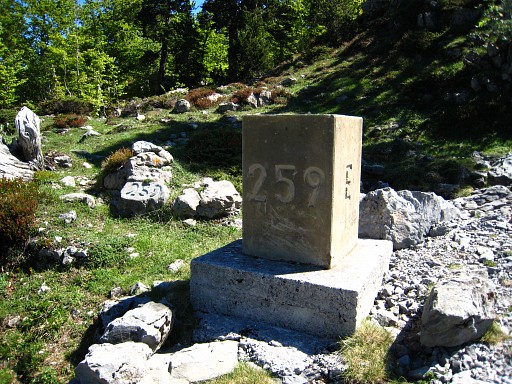 |
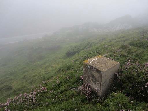
Bm259, stone and cross Photographed on 20090603 (more pictures on that page) This bm was moved from another place to this spot around 1985. The same was done with bm258 in order to facilitate a more straight new road. Two triangular pieces of territory of equal size were interchanged between France and Spain. See this pdf with a map of it. |
 |
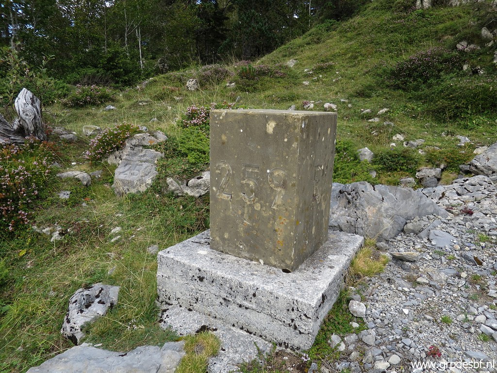
Bm259 Photographed on 20140831 (more pictures on that page) |
 |
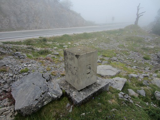
Bm259 Photographed on 20200909 (more pictures on that page) (click photo to enlarge) |
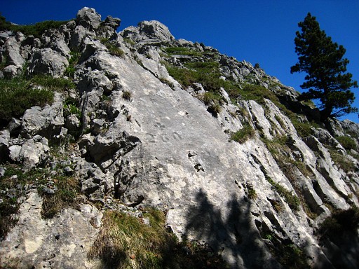 |
Bm260 Photographed on 20090603 (more pictures on that page) |
 |
Bm260 Photographed on 20130902 (more pictures on that page) |
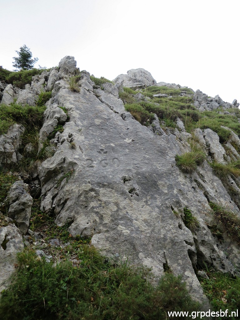 |
Bm260 Photographed on 20200909 (more pictures on that page) (click photo to enlarge) |
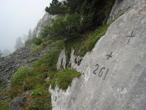 |
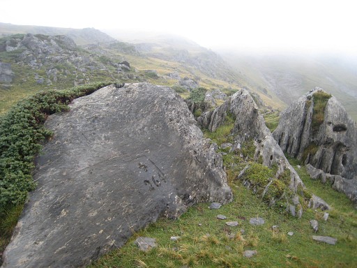
Bm261 Searched in vain on 20090603 but found on 20100907 (more pictures on that page) There's something strange about bm261: it's location is approximately 125m west of the borderline. |
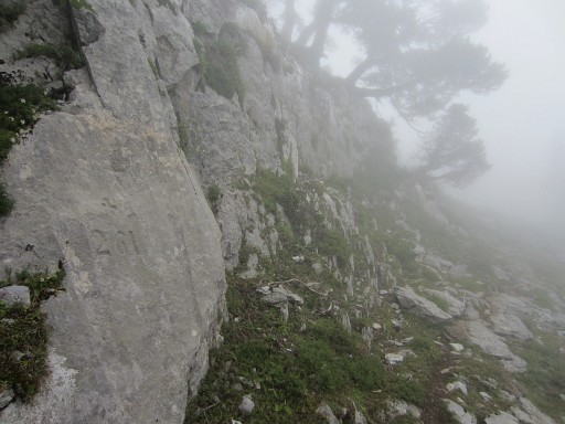 |
Bm261 Photographed on 20140831 (more pictures on that page) |
 |
Bm261 Photographed on 20200909 (more pictures on that page) (click photo to enlarge) |
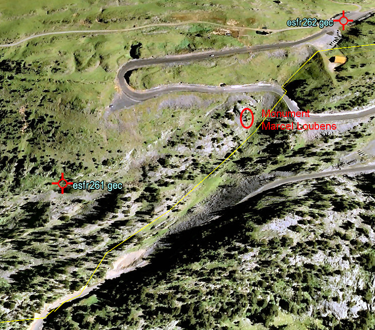 This is a screenprint from Google Earth. The yellow line is - approximately - the borderline as we find it on the French and Spanish maps. We have a confirmation of it actual position in this terrain by a newspaper-article which states that the site of the Marcel Loubens-cave was on the borderline but the entrance of the cave a few meters on French soil. Marcel Loubens was a famous French speleologist who died in 1952 in this cave: see this wikipedia article and esfr-html-trips-20100907.html. There's a monument remembering Loubens at the yellow line. So the location of bm261 is a mystery but Jacques Koleck unshrouded some of its secrets by studying the archives. He wrote me in 2013: "The 261 cross surprises a little by his position slightly to the west. In the minutes of the "Commissions de vérification des bornes internationales" - which I found in the Archives Départementales of Pau - indicate that the location of the cross 261 was verified in 1859 - eight months after the signing of the Treaty - by delegates of the communities of Saint Engrace and Isaba and from 1862 onwards by the delegates of Aramits and Isaba who found "that all bordermarkers were in good condition and placed at the places indicated in the minutes of the demarcation of december 28, 1858." During the period 1862-1881 the bordermarker 261 however was each year subject to a protest from the town of Saint Engrace who felt that this bordermarker was on their territory. Then everything calmed down and the Aramits- and Isaba-representatives continued to meet every august 21 from 1911 to 1925 (later archives burned) coming to the same conclusion: "The bordermarkers are placed ... on the places indicated in the minutes of the demarcation .... ". But I still wonder about the meaning of the term "mobile bordermarker" that I found in the minutes of the Commission (1914, 1921 and 1923): "The delegates agreed that bordermarker 261, the only mobile bordermarker, is in good condition and at its original place ... ". A bordermarkers is meant to be fixed and not to be mobile or to be moved."  Charles Darrieu did another dive in the literature: As for the "borne mobile", Charles Rousseau, " Les frontières de la France ", Revue générale de droit international public, vol. 58, 1954, 23-52, p. 225, writes the following: "The exact demarcation of the border raised recently difficulties as regards to the territorial belonging of the abyss of Pierre of Saint Martin, discovered in 1950 (Le Monde, 7.8.1953). These difficulties which occurred in particular during the French speleological expeditions of 1952 and 1953 result from the fact that there are two borders: 1. the official one of the Treaty of 1856 and the Convention of 1858 and confirmed by a cadastral statement by the municipality of Arette, passing by bordermarkers 261 and 262 and touching in the South the abyss; 2. the other one, which we took up to here wrongly for the real, established by a line of stones marked with a red cross. This line, in which France loses 20 ha. 8, was established by the department of civil engineering (l'administration des Ponts et Chaussées). The origin of this difference goes back approximately hundred years: gathered an evening around the bordermarker 261, following an abundantly (sprayed) feast, the French and Spanish shepherds were amusing themselves as a result of a bet to move 400 meters the bordermarker inside the French territory. Finally it was decided to submit the question of territorial membership in the International Committee of the Pyrenees ". This question - according to the information which we were able to obtain was overtaken by the discovery of another entrance(entry) of the abyss in French territory. Finally Charles adds the following information (and conclusion) "At the Conférence Régionale de la Frontière des Pyrénées (18/02/1957 - page 4), Jean Sermet states that "it is wrong that cross 261 was engraved where it is and that the text of the Treaty of 1856 and its “convention additionnelle” of 1858 leaves no room for doubt on the boundary line. "He recalled it in his book " Les Routes Transpyrénéennes " (Toulouse 1965, page 107 note 78). And meanwhile, you might wonder: what was the original text in the 1858-treaty? Well, this:  And very surprisingly, we spot on the Spanish IGN-map the esfr-borderline, toponyms AND a position of bm261 which coïncides with this treaty-text. Also the distances mentioned, match more or less. 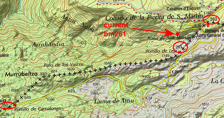 This borderline between bm260 and 264 is simular to the slightly more detailed one of the French Ign-map. On the Navarran map however we see a borderline wich passes the current bm261 but is in striking disaccordance with the description of the Treaty. Check these three borderlines for yourself with this google-earth kml-file |
|
 |
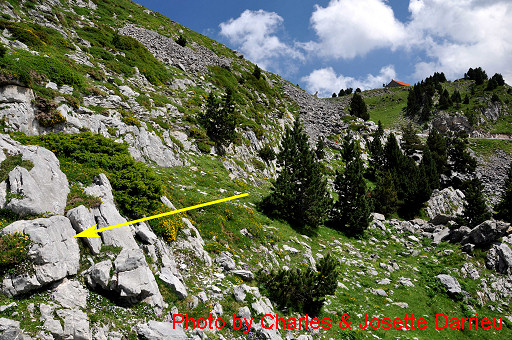
As
stated above in the Treaty-text, there are between bm261 and 262,
hthree intermediate crosses according to the delimiatation treaty. Moreover: there are three triangular-shaped unnumbered borderstones, placed on that same 261-262-line. Jacques Koleck found two of the crosses in 2013 along the 'trail' from bm261 until the tarmac road. This is one of the two. Robert Darrieumerlou shows one of the crosses on this page. I don't know of it's identical with one of Jacques' crosses or if it's number three. Luckily Charles & Josette Darrieu found them all three and I'll show their pictures and some of mine. |
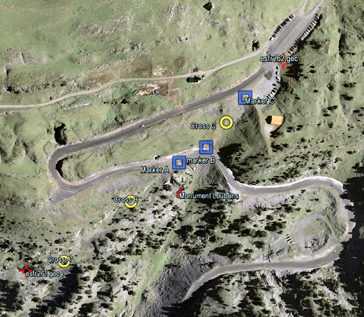 But first on this Google Earth-map the six intermediate markers. Check it yourself on Google Earth: with this kml-file (the waypoints of the crosses come from the Darrieu's). - Between bm261 and the tarmac road there are two crosses. - At the tarmac road stands a stone marker on both sides of the road - Between the tarmac road and bm262 there's a third cross and a third stone marker. |
|
 |
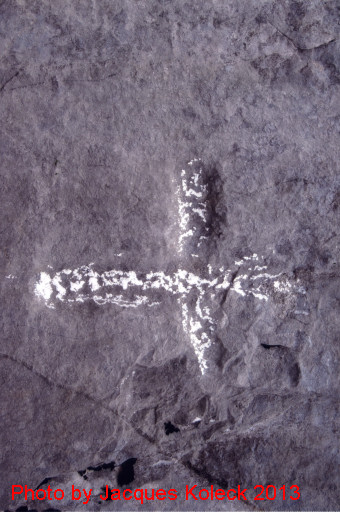
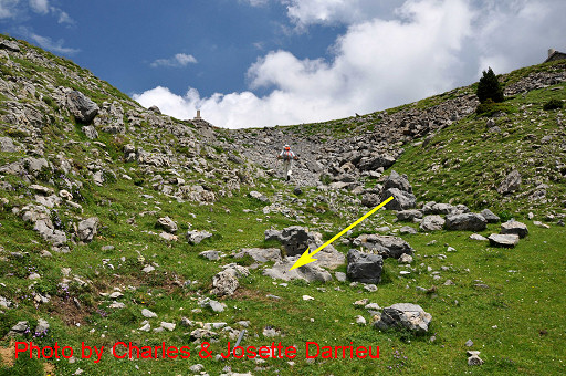
This is the first cross |
 |
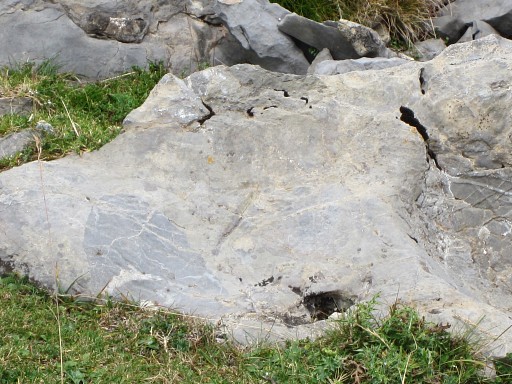
with this closeup. |
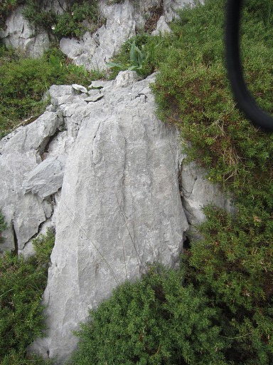 |
First cross Photographed on 20140831 (more pictures on that page) |
 |
Then the second cross, |
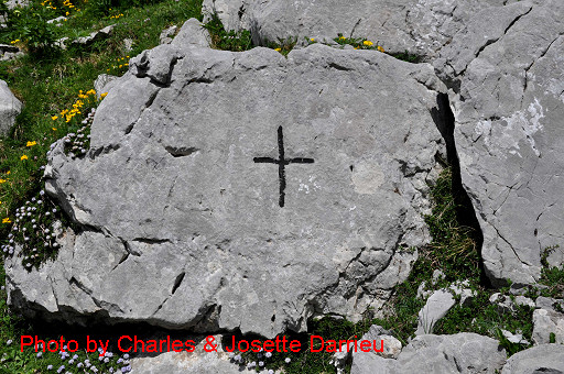 |
also in closeup |
 |
Second cross Photographed on 20140831 (more pictures on that page) |
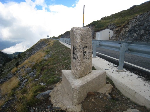 |
This is my own picture of the first stone marker. Photographed on 20100907 Also photographed on 20200909 |
 |
First stone marker Photographed on 20140831 (more pictures on that page) Also photographed on 20200909 |
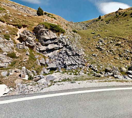 |
On the other side of the road, where the direct climb to the Col starts, there's a second stone marker. Photo derived from Google Streetview |
 |
Second stone marker Photographed on 20140831 (more pictures on that page) Also photographed on 20200909 |
 |
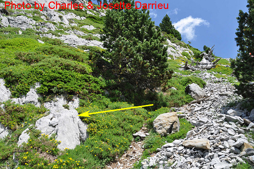
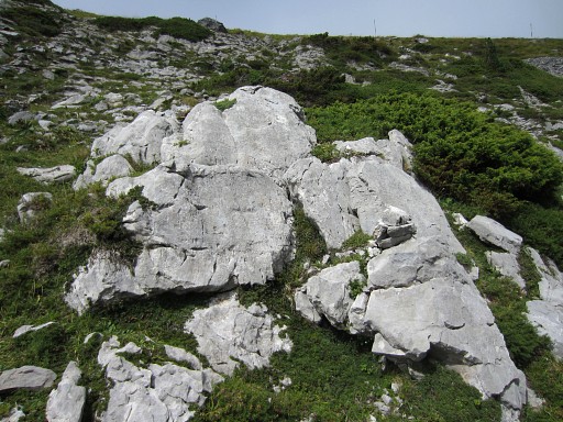
In the steep climb from the tarmact road to bm261, you will pas the third cross. Note the third stone marker, already visible. |
 |
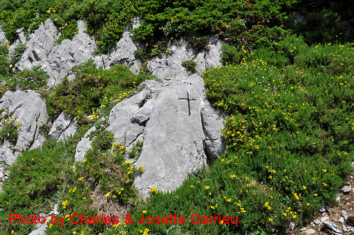
Closeup |
 |
Third cross Photographed on 20140831 (more pictures on that page) |
|
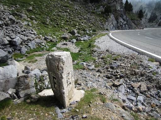
Finally the third stone marker. Photographed on 20090603 Also photographed on 20200909 |
 |
Third stone marker Photographed on 20140831 (more pictures on that page) Also photographed on 20200909 |
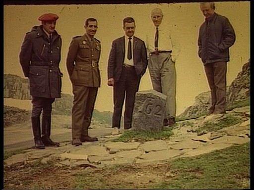 |
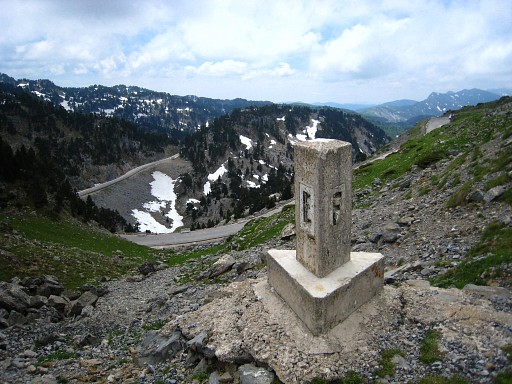
Bm262 This is an old picture, captured from a documentary of Luc Bazin. Date unknown. |
 |
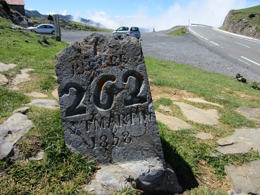
Bm262 Photographed on 20090603 (more pictures on that page) |
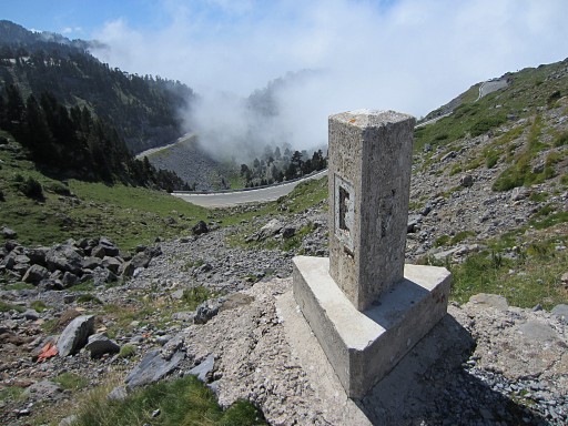
 | Bm262 Photographed on 20100907 (more pictures on that page) |
|
Bm262 Photographed on 20130603 (more pictures on that page) |
 |
Bm262 Photographed on 20130902 (more pictures on that page) |
 |
Bm262 Photographed on 20140831 (more pictures on that page) |
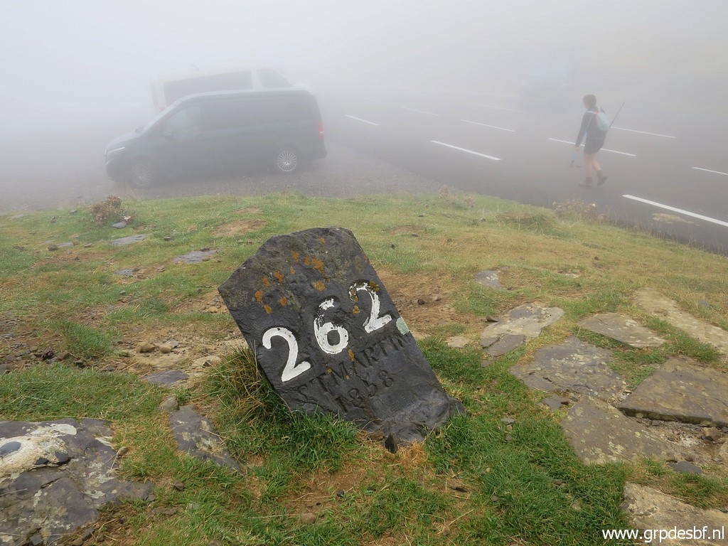 |
Bm262 Photographed on 20200905 (more pictures on that page) (click photo to enlarge) |
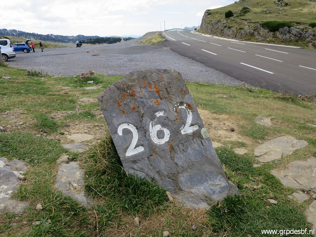 |
Bm262 Photographed on 20200909 (more pictures on that page) (click photo to enlarge) |
 |
Bm262 (click photo to enlarge) Photographed on 20210910 (more pictures on that page) |
|
Bm262 Photographed on 20220826 (more pictures on that page) (click photo to enlarge) |
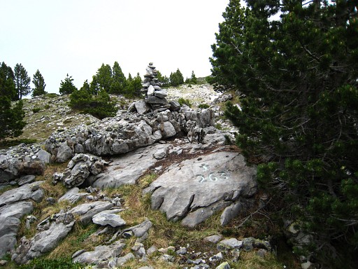 |
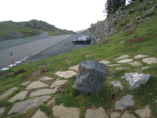
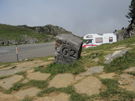
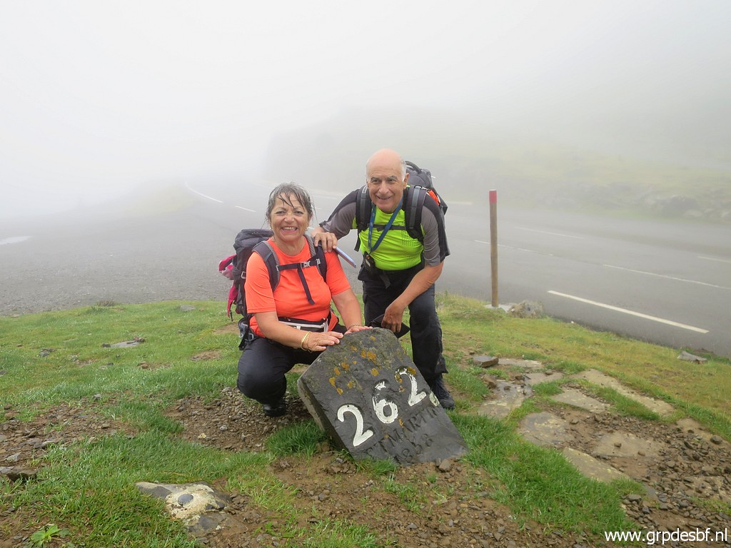
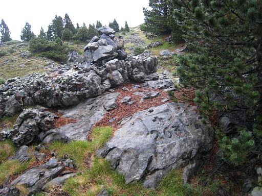
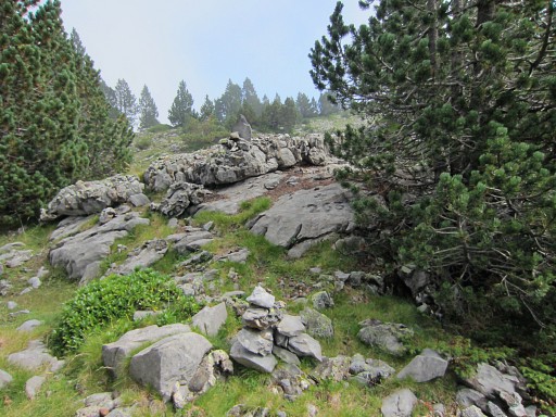
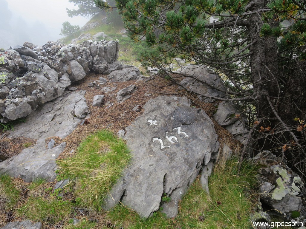
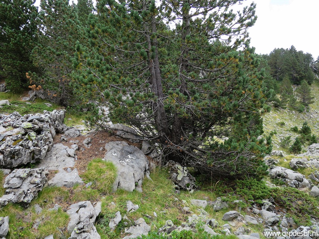
Bm263 Photographed on 20090603 |
 | Bm263 Photographed on 20100908 |
 |
Bm263 Photographed on 20140831 (more pictures on that page) |
 |
Bm263 Photographed on 20200905 (more pictures on that page) (click photo to enlarge) |
 |
Bm263 Photographed on 20200909 (more pictures on that page) (click photo to enlarge) |
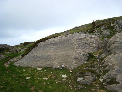 |
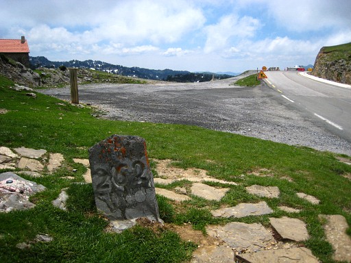
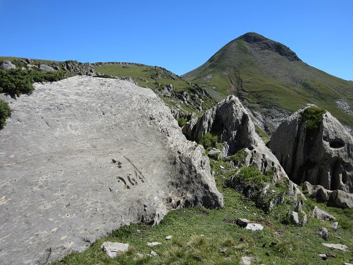
Bm264 Photographed on 20090603 (more pictures on that page) |
 | Bm264 Photographed on 20100908 |
 |
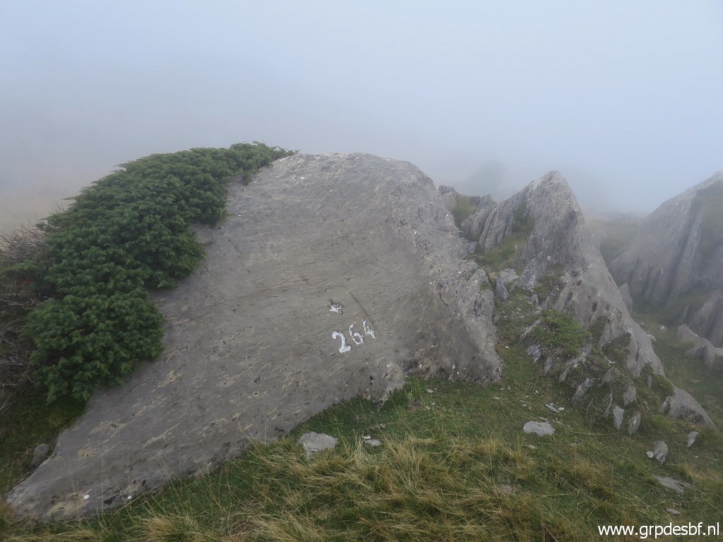
Bm264 Photographed on 20140831 (more pictures on that page) |
 |
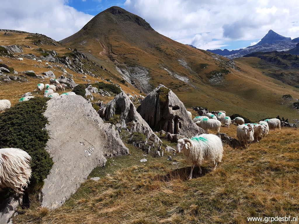
Bm264 Photographed on 20200905 (more pictures on that page) (click photo to enlarge) |
 |
Bm264 Photographed on 20200909 (more pictures on that page) (click photo to enlarge) |