|
The
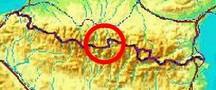
bordermarkers of the Pyrenees : all my trips
 |
|
| -
friday 17 september
2021 - Bm359 revisited + checking cycle track near Pont du Roi |
 |
 |
Summary:
part of a series of 11 daytrips in september 2021 in the western half
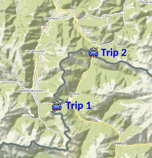
of the Pyrenees. This is day 9. Today: -trip 1: revisiting bm359, trying a new access route -trip 2: checking the progress of the construction of the cycle track along the Garonne near Pont du Roi Weather: sunny, warm Basecamp: camping Prado Verde, south of Bossóst. |
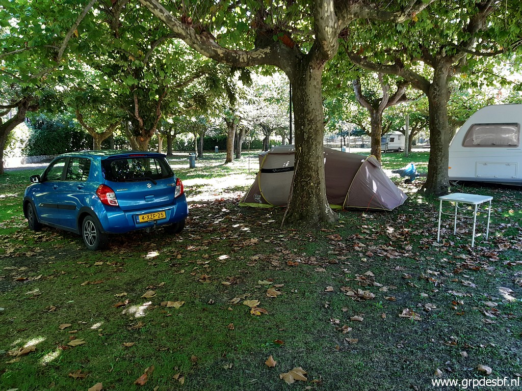 |
Yesterday I arrived in the dusk and rain at this camping (Prado Verde), 5km south of Bossóst. My favourite camping (Espalias) near Bossóst didn't admit camping guests for whatever reason. (click photo to enlarge) |
| TRIP 1 |
|
 |
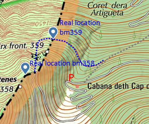
From the parking along the mountainroad to Col de Barèges, I try a new access to bm359. A more direct access from the parking involves a tough descent down a steep hillside with a lot of fallen trees until you reach a more open hillslope. I was here last year with Carlos and Conchita Roca on 11-6-2021. Afterwards, I already looked for an alternative route which would evade the fallen trees: |
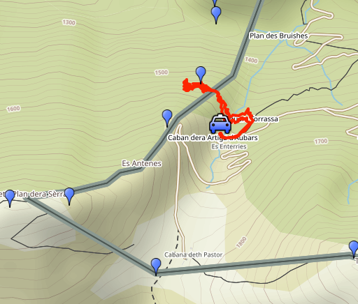
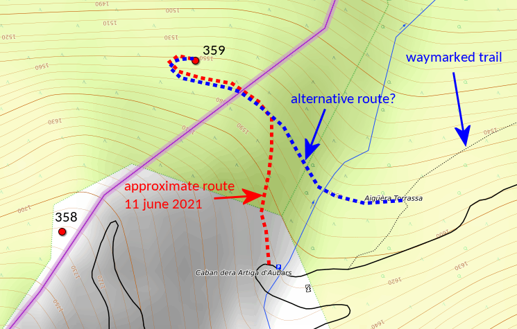 Today I will try that alternatieve route and that resulted in this track: |
|
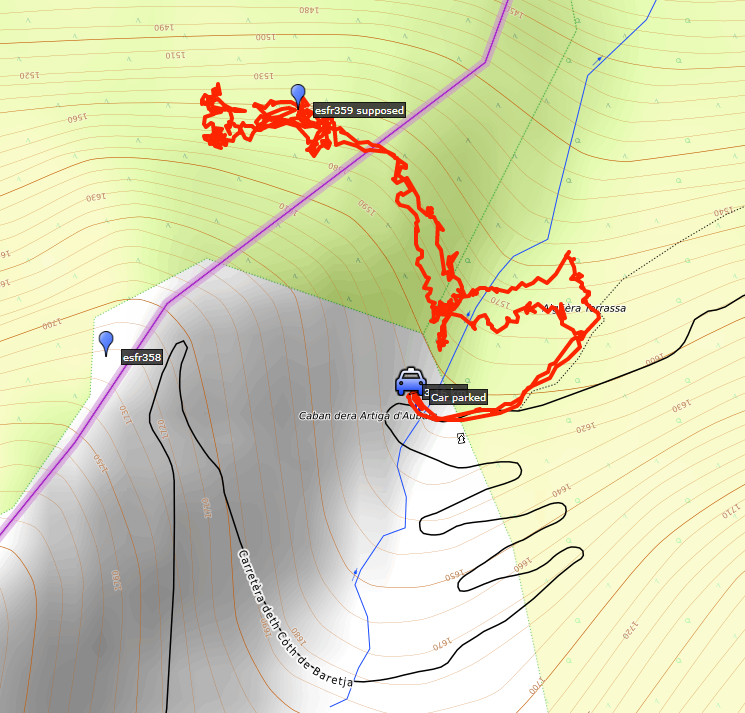 track-20210917-trip1.kml
(click to open this trip in Google Earth or copy link to Google Maps; click right on this link to download gpx-version). The gps-track has not been manually corrected which explains the inaccuracy and misalignment at some points. For cartographic backgrounds: see the cartography-page Gps-waypoints of all bordermarkers (most recent version): kml: esfr-bordermarkers-all-waypoints.kml gpx: esfr-bordermarkers-all-waypoints.gpx (with elevation added by gpsvisualizer.com) |
|
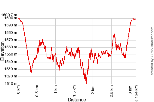 |
According to Garmin
Basecamp (uncorrected track with elevation added by Gpsvisualizer.com): Distance: 3,2km Max-height: 1601m Min-height: 1510m Elevation: +594m -595m Total elevation: 1189m Start 13:07 Finish 15:59 Total time: 2:52 |
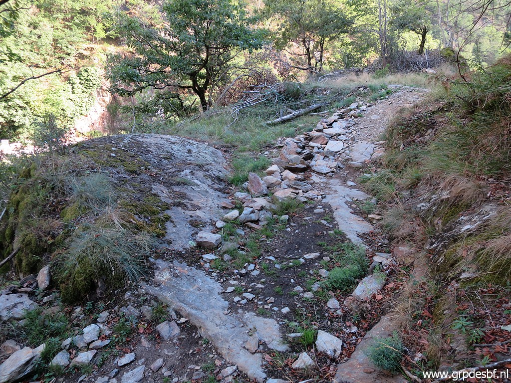
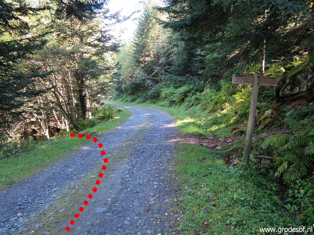 | From the parking, a bit down the road (± 75m), a trail enters the forest. (click photo to enlarge) |
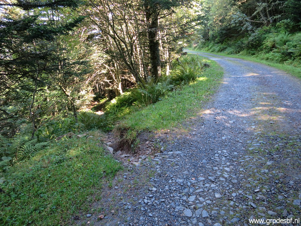 | In fact it is the direct hiking trail from Col du Portillon up to Col de Barèges. (click photo to enlarge) |
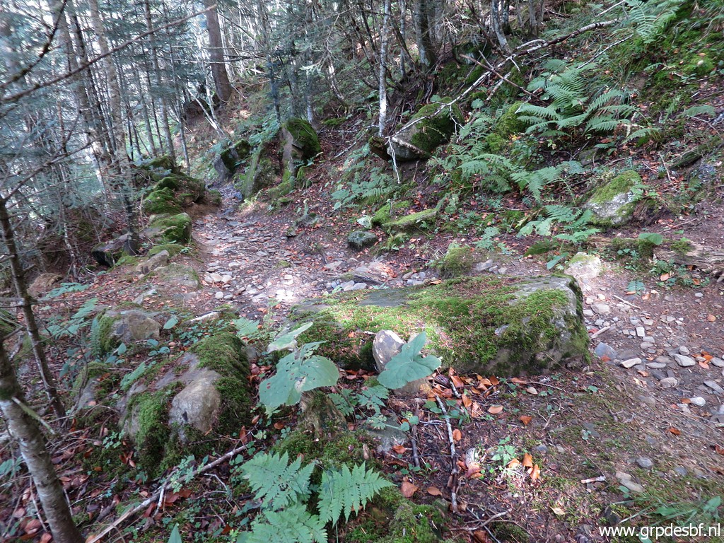
 | It's a decent path. (click photo to enlarge) |
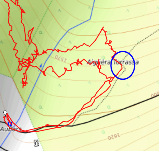 |
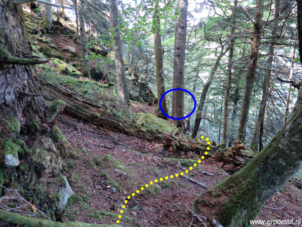
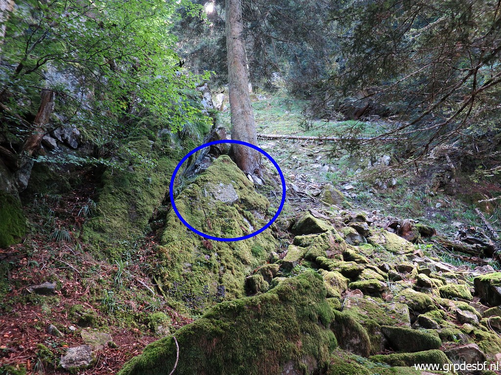
At forehand, I chose the zigzag in the trail (blue circle) as the place to leave it. From that point - if I would keep approximately at the same altitude - I should reach bm359. |
 | That point is here, will recognizable in the path. There was a vague trail going into the forest, probably a wildlife track. (click photo to enlarge) |
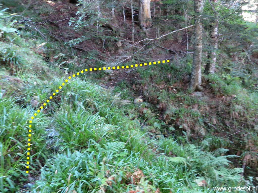 | Soon I reach a tiny stream (click photo to enlarge) |
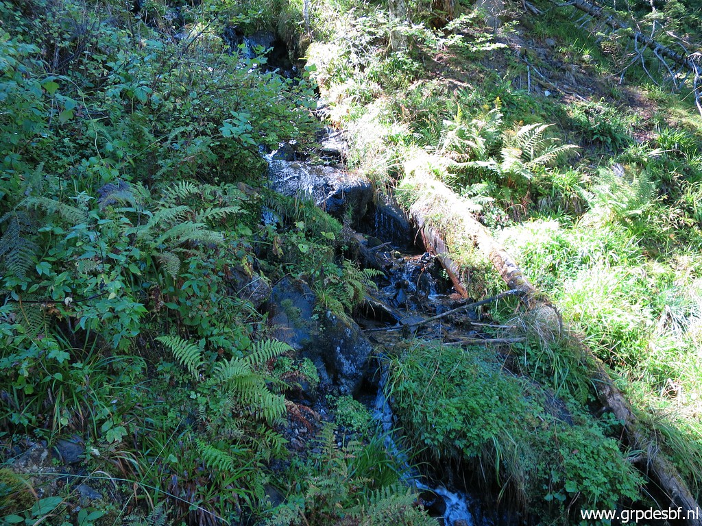 | to cross (click photo to enlarge) |
 | and I follow the curb. (click photo to enlarge) |
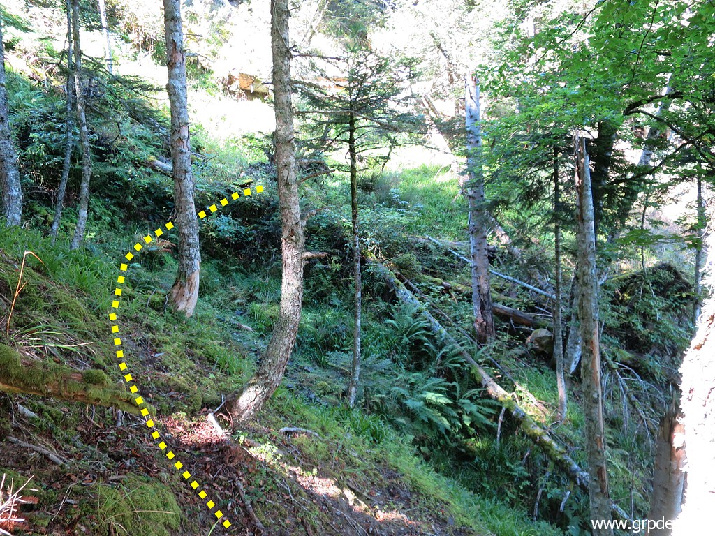
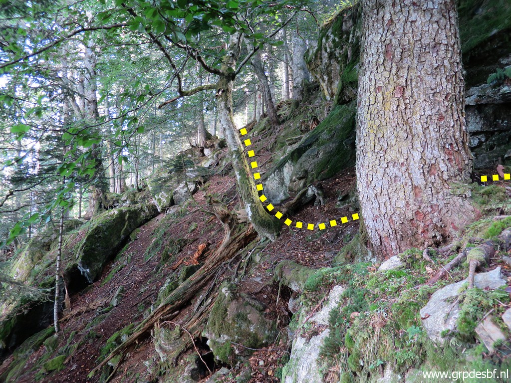
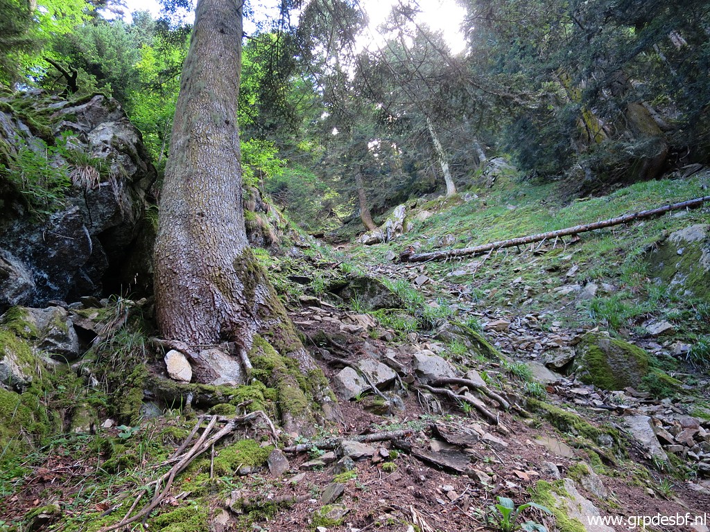
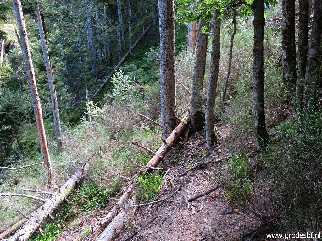
 | Then I have to circumvent or tackle one or two fallen trees to (click photo to enlarge) |
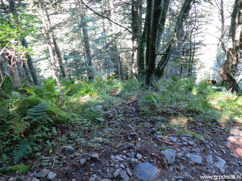
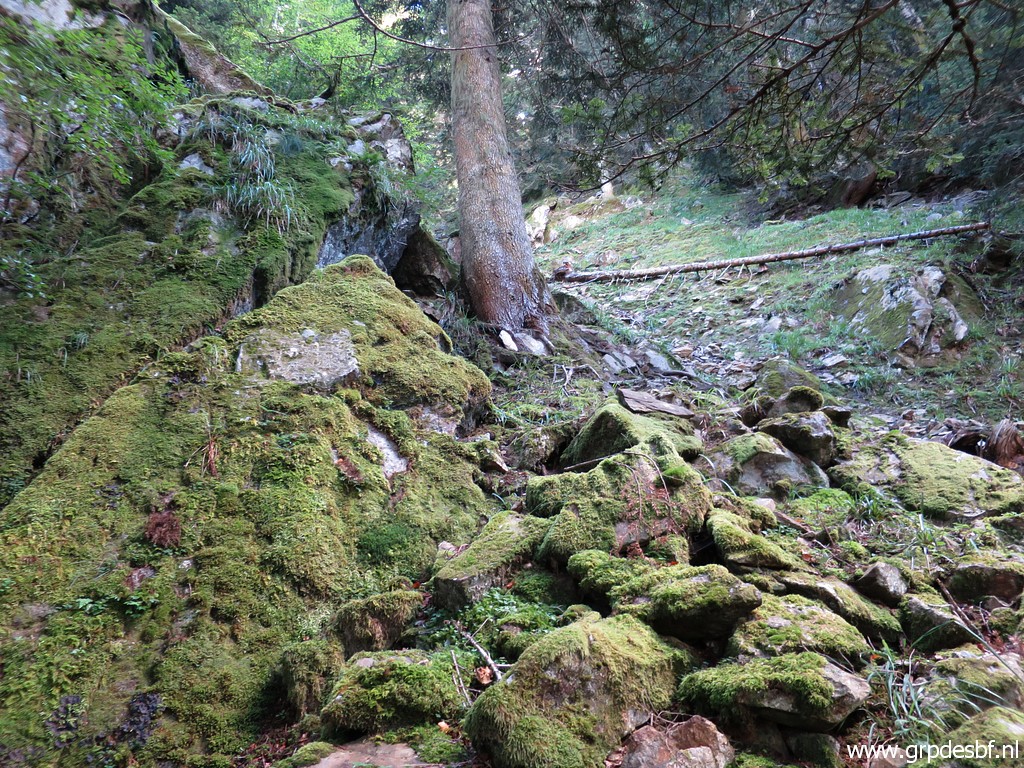
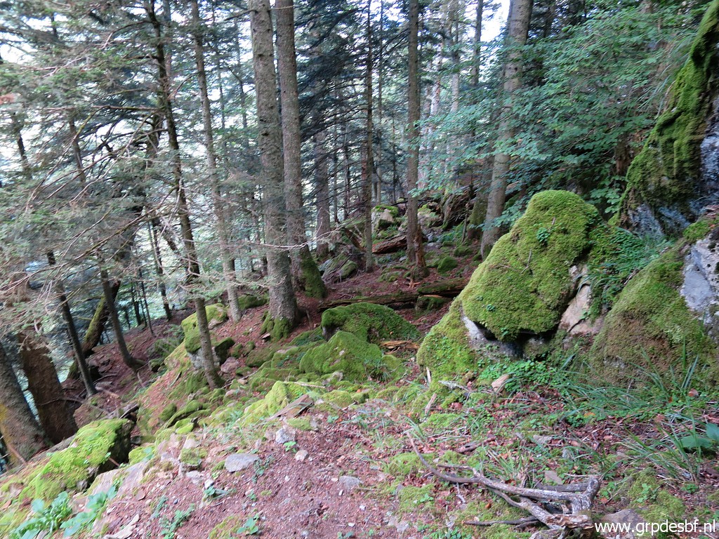
 | reach the 'open' en undamaged forested hill-slope. I continue - using my gps - towards bm359. (click photo to enlarge) |
 | After about 100m, I spot (click photo to enlarge) |
 | painted stripes at the trees. (click photo to enlarge) |
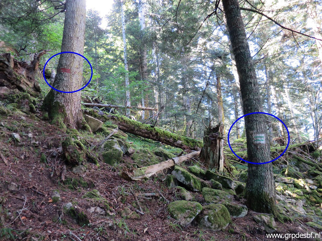 | There are two kinds: double green and double red. They mark the forestry border between (in this case) the Spanish and French forest. Thus: the international borderline, one would say. But we don't know if that is true because the international borderline is uncertain on this slope. (click photo to enlarge) |
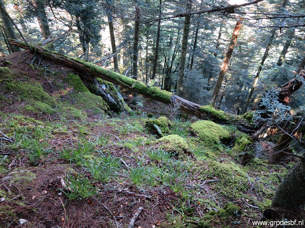 | Anyway, I know from previous visits that bm359 is a bit further west, at the foot of a wide rock wall. I continue above that rock wall. This picture: it seems that you can descend here but that is too steep. (click photo to enlarge) |
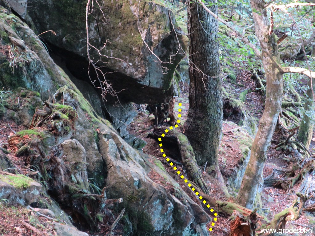
 | Further on, there is a descent possible at this spot. (click photo to enlarge) |
 | I have descended and look up to the wide rock wall. (click photo to enlarge) |
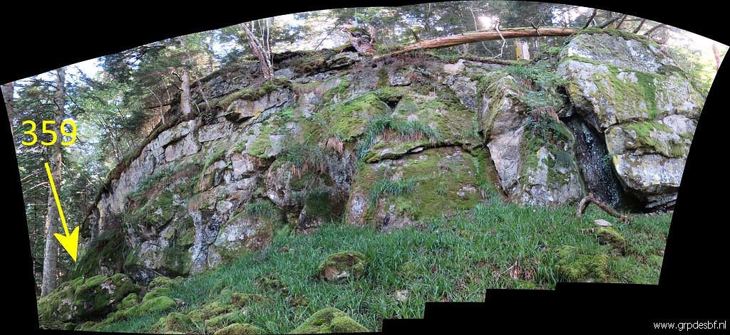 | A panorama view of that rock wall, the perspective deceivingly suggesting a half circle aspect. (click photo to enlarge) |
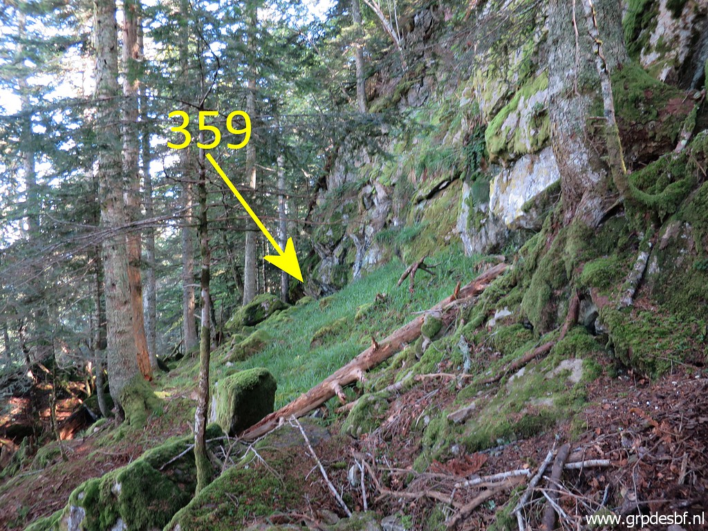
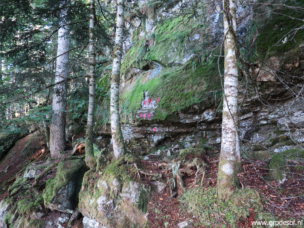 | Arriving at bm359. (click photo to enlarge) |
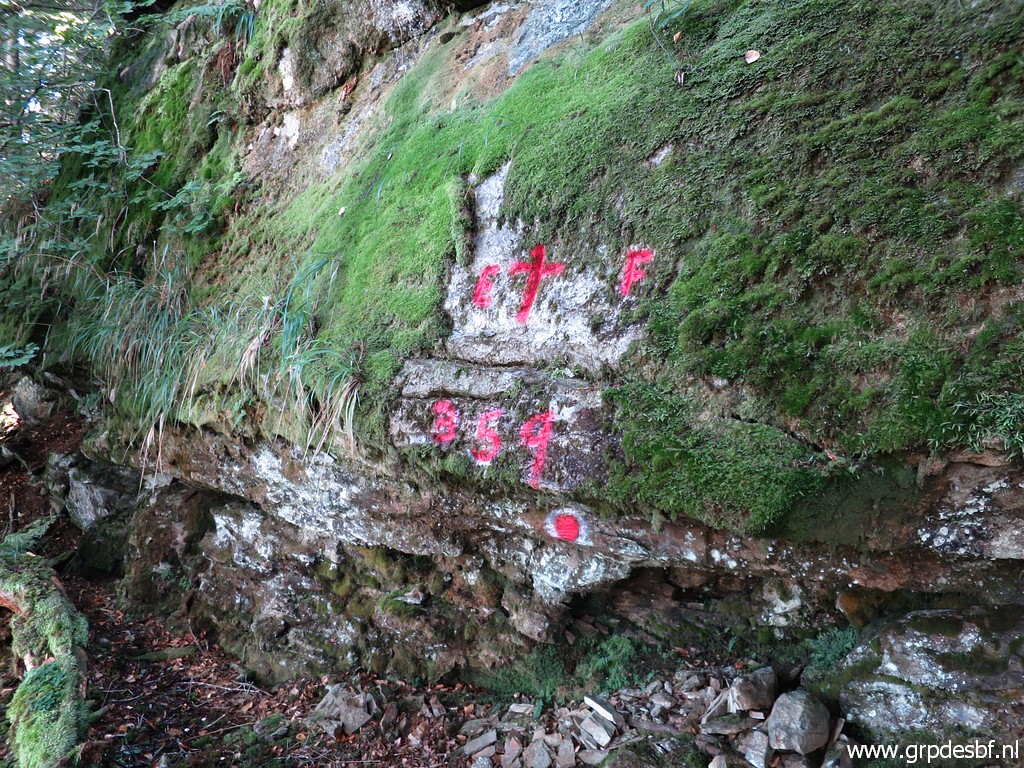 | Bm359 (click photo to enlarge) The number 359 has been painted in recent years below the cross. It gives an official aspect to this cross but I still doubt if this is the marker meant in the treaty of the 19th century. See this blog-post. But in the mean time, I consider this as bm359 and I have listed this cross as such in my bordermarker-list. |
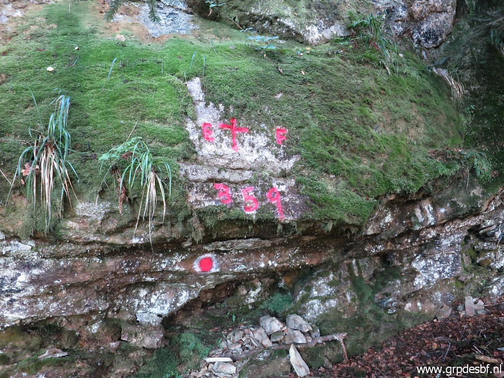 | Bm359 (click photo to enlarge) |
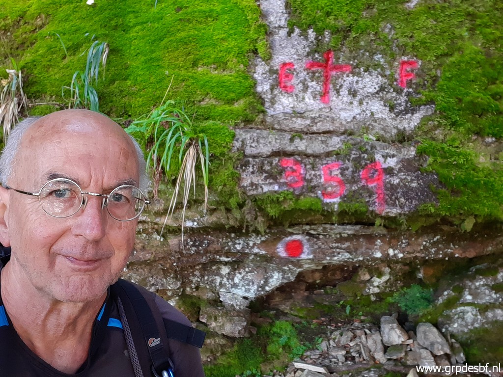 | Bm359 (click photo to enlarge) |
 | Then I try a new route back: at the end of the rock wall - a few meters east of bm359 - climbing up the hillside. (click photo to enlarge) |
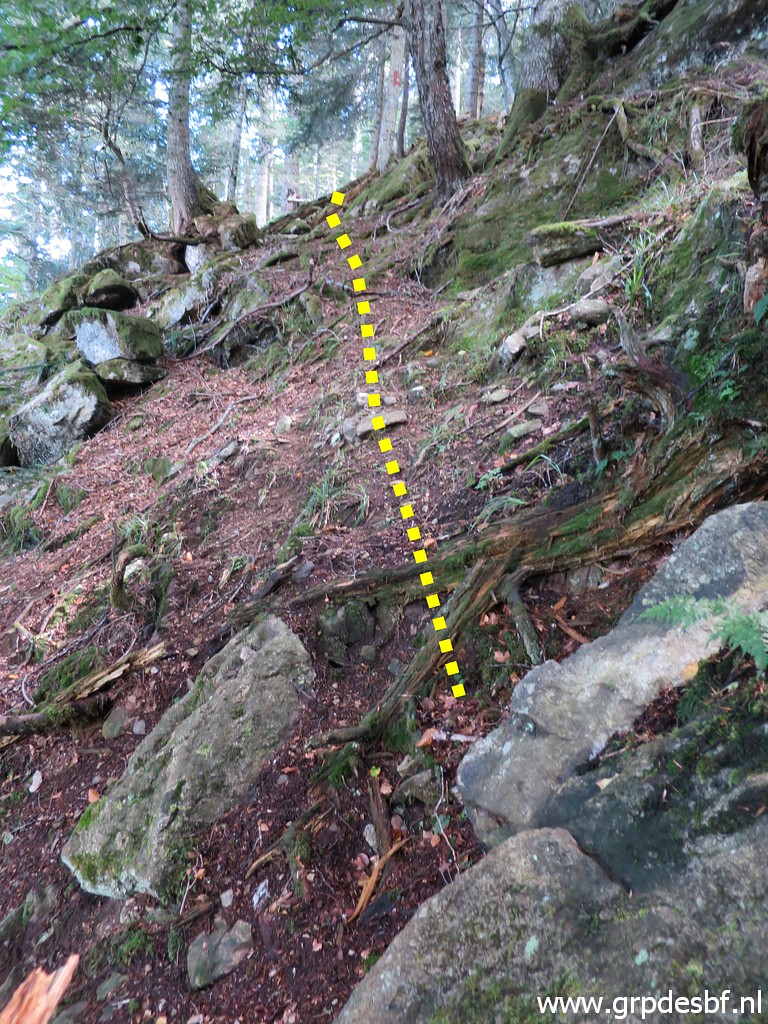 | And that is quite easy. (click photo to enlarge) |
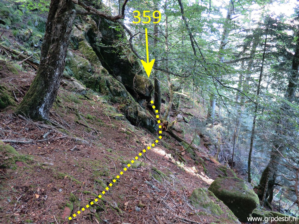 | In fact: it's much easier to reach bm359 from this side. This picture: the route seen from above. (click photo to enlarge) |
 | Zoom-in: just beyond the tree is bm359. (click photo to enlarge) |
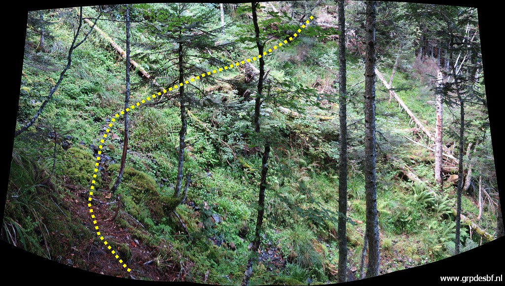
 | Let's show that alternative acces route better, seen from more above (click photo to enlarge) |
 | And more above, with the same tree with the double red stripes, still in sight. (click photo to enlarge) |
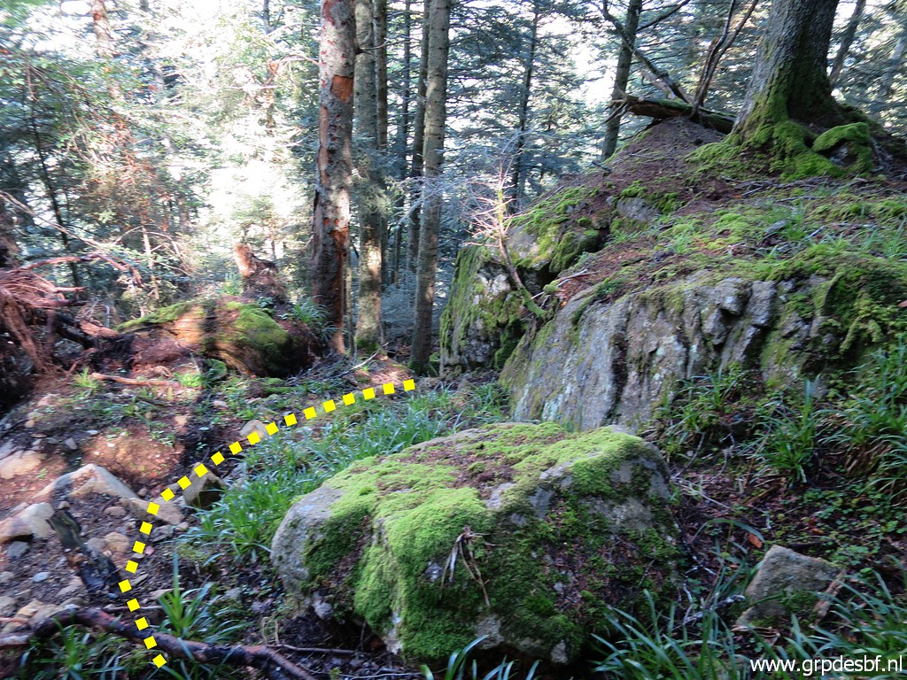
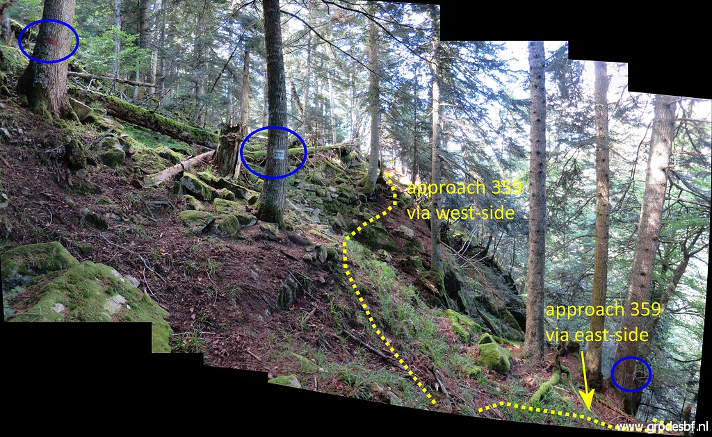 | And finally back at the spot where I was before with the green stripes and red stripes (see above). At this point you have a choice: approach bm359 via the west side or - more direct - via the east-side. (click photo to enlarge) |
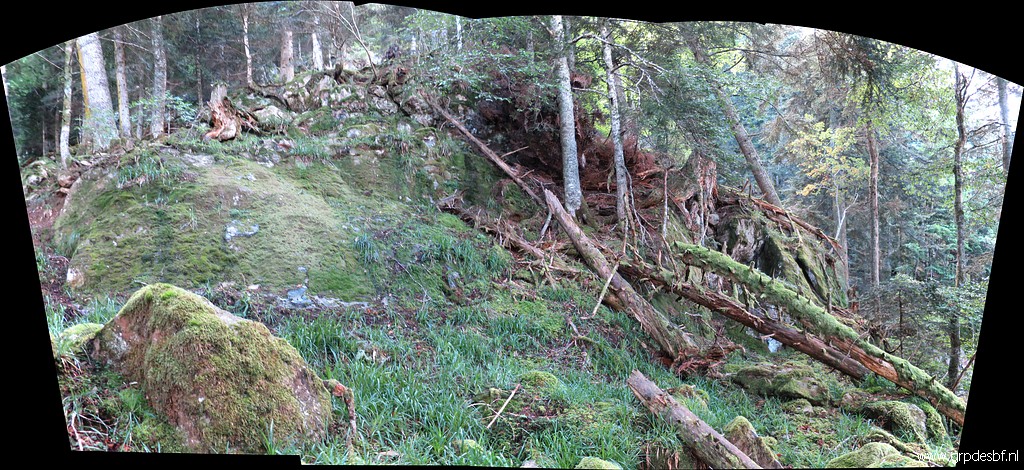 | I don't return immediately. First I want to check the hillside beyond (= west of) bm359, approximately up to 100m west of it. This picture: another rock wall but a lot smaller. (click photo to enlarge) |
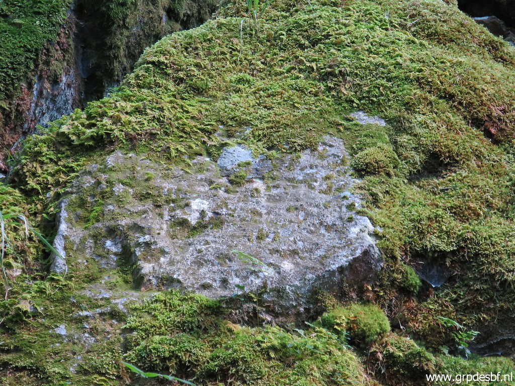
 | Suddenly, I spot a rock with a blank rectangular spot on it. (click photo to enlarge) |
 | Could that perhaps be the original bm359? (click photo to enlarge) |
 | I check it thoroughly and (click photo to enlarge) |
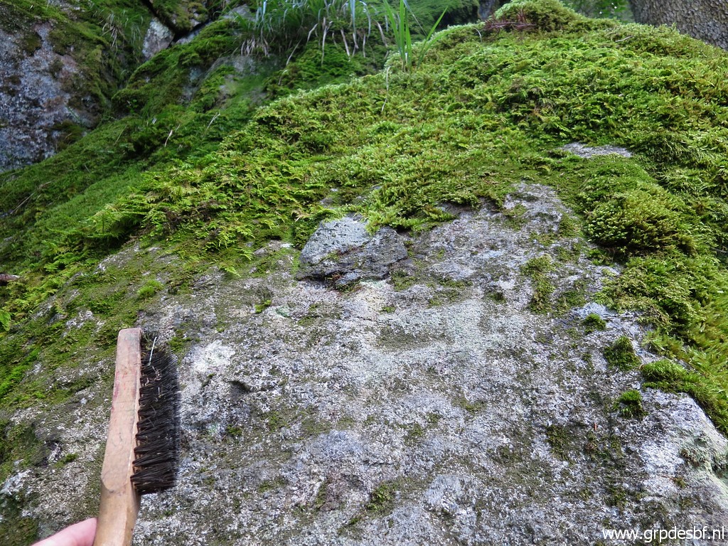 | and use my steel brush but to no result. No engravings whatsoever. (click photo to enlarge) |
 | But just beyond that cross, I reach the lower end of a sort of ravine, descending from approximatly bm358. (click photo to enlarge) Is this the "une sorte d'éperon en dièdre marqué" in which Jean Sermet with his company descended in 1957? I'm quite sure if I look at this map from my own elaborate page on the subject of bm359: |
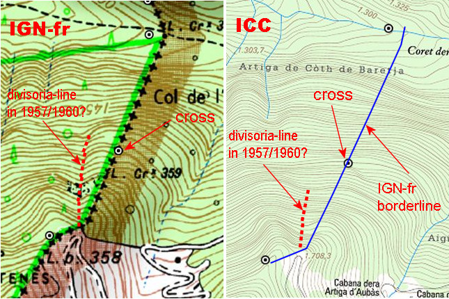 |
|
 | At the other side of the lower level of the ravine (west of it) there is another rock wall. (click photo to enlarge) Another hypothetical candidate of the rock wall where Jean Sermet found a cross? Well, it's much closer to the "éperon en dièdre marqué" than the current position of bm359. I have to return to check this rock wall ...... It never ends, this quest for the original location of bm359, so it seems. |
 |
But there is another reason to return. The ravine is steep but the descent seems manageable. In my GRPdesBF-design, bm359 is part of a variant of the main route. The ravine might offer a possibility to descend from bm358 to bm359 and then continue. Thus: an on-going route instead of doing a hence and forth trip from the parking. So I have to return in 2022 to check this possibility. |
 | This picture: this is at the lower end of the ravine looking NE. You have to go that way towards bm359. (click photo to enlarge) |
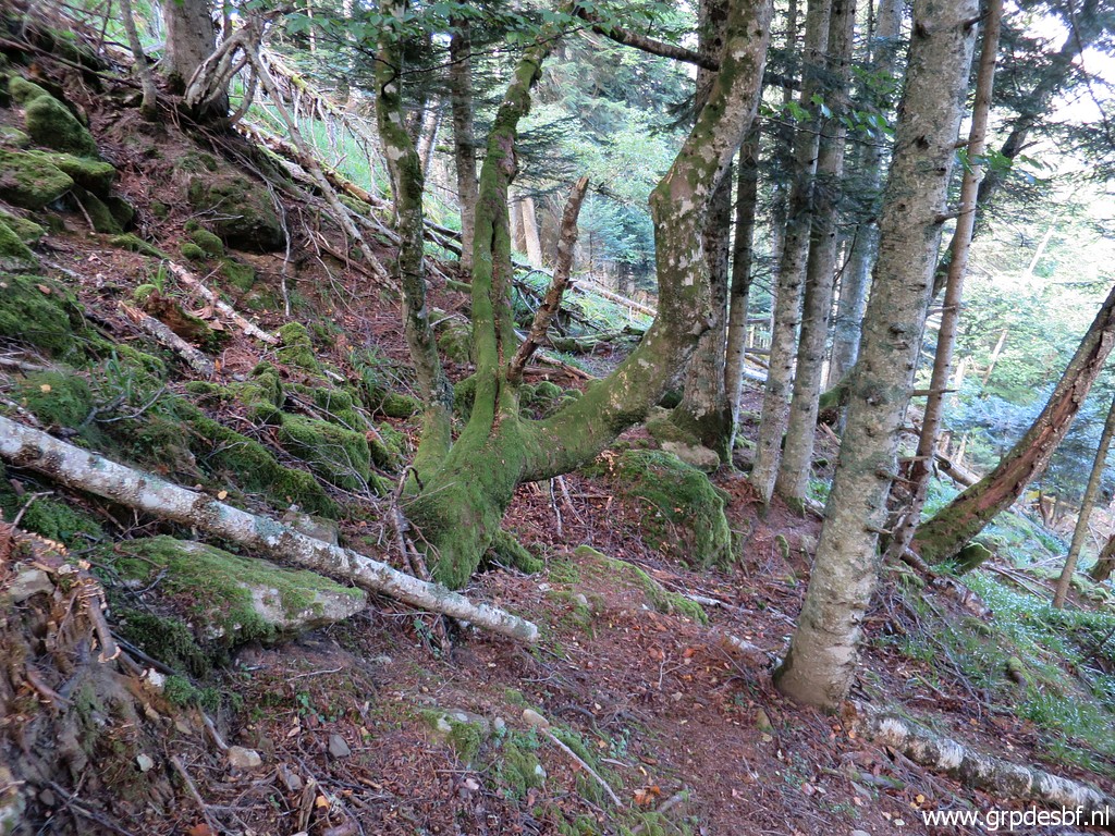
 | Enough exploring, I return approximately along the same route. This picture: getting near the stream which I crossed in the beginning. (click photo to enlarge) |
 | Just before that crossing I try to climb directly along a hillridge to the parking. But soon I get blocked by fallen trees so I descend back. (click photo to enlarge) |
 | Back at approximately the stream and looking back how I came from bm359. In fact a bit higher than on my outward journey. (click photo to enlarge) |
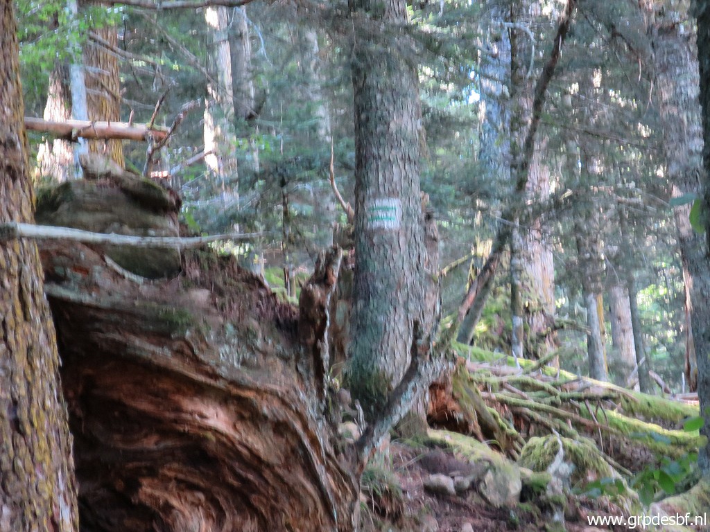
 | I am back at the trail and (click photo to enlarge) |
 | now back at the parking. By the way, this would make a perfect bivouac spot with its flat surface and water source nearby. (click photo to enlarge) |
| TRIP 2 |
|
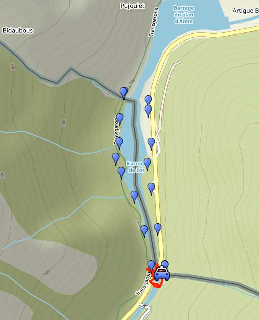 |
From Pont du Roi a short investigation of the progress of the construction of the cycle track along the Garonne. I was here also on 20210610 to check that cycle trail: the Transgarona On this map, you can already see the track of the 'Transgarona'. |
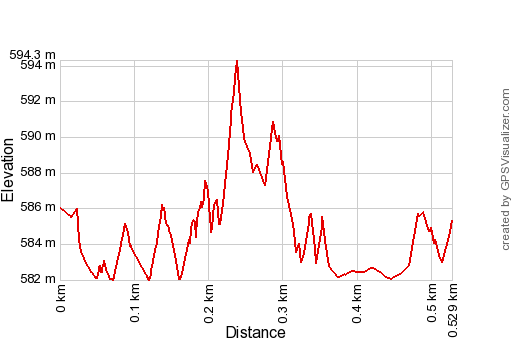
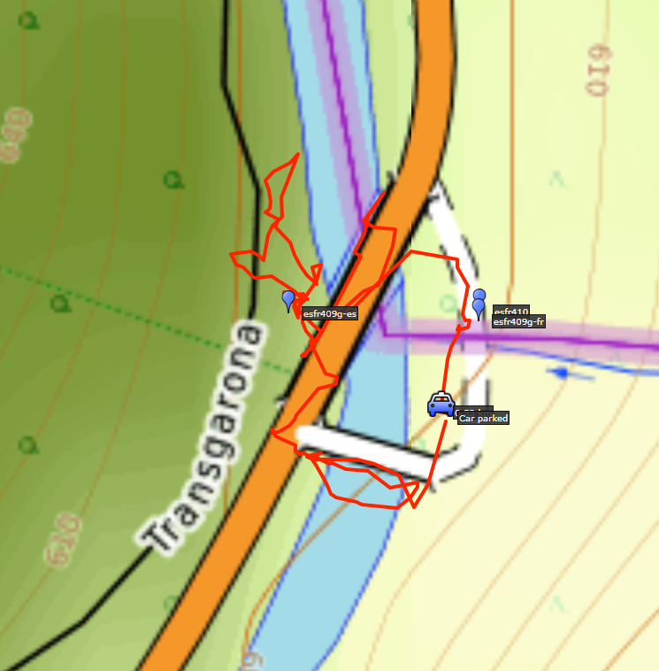 track-20210917-trip2.kml (click to open this trip in Google Earth or copy link to Google Maps; click right on this link to download gpx-version). The gps-track has not been manually corrected which explains the inaccuracy and misalignment at some points. For cartographic backgrounds: see the cartography-page Gps-waypoints of all bordermarkers (most recent version): kml: esfr-bordermarkers-all-waypoints.kml gpx: esfr-bordermarkers-all-waypoints.gpx (with elevation added by gpsvisualizer.com) |
|
 |
According to Garmin
Basecamp (uncorrected track with elevation added by Gpsvisualizer.com): Distance: 0,5km Max-height: 594m Min-height: 582m Elevation: +46m -46m Total elevation: 92m Start 17:16 Finish 17:40 Total time: 0:24 |
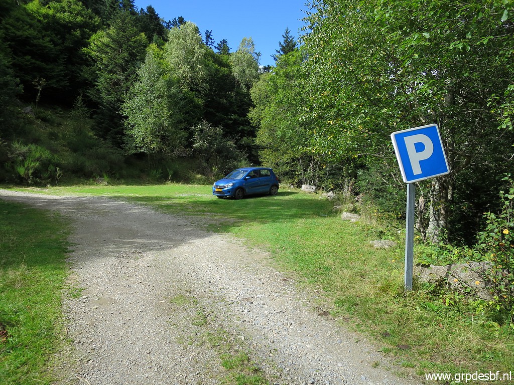
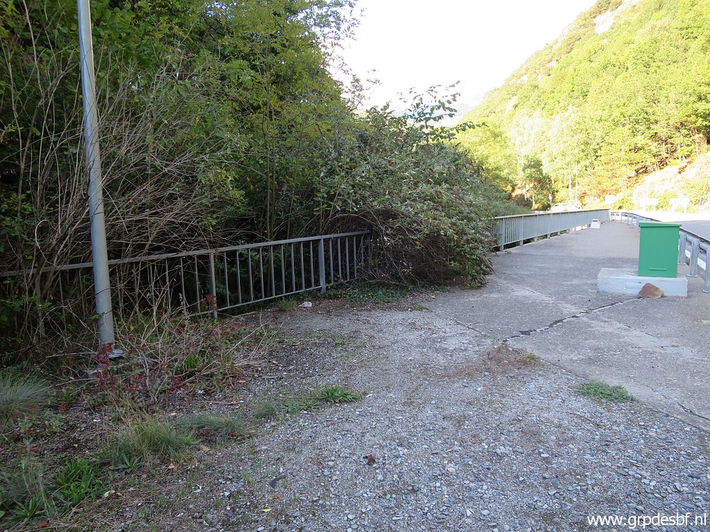
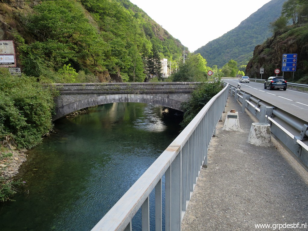
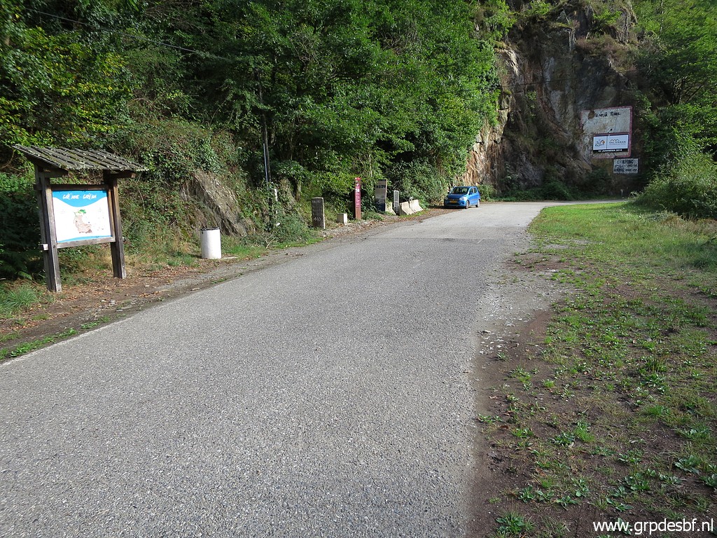
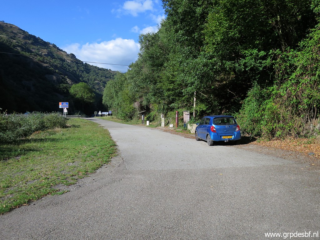 | Parking near bm410. (click photo to enlarge) |
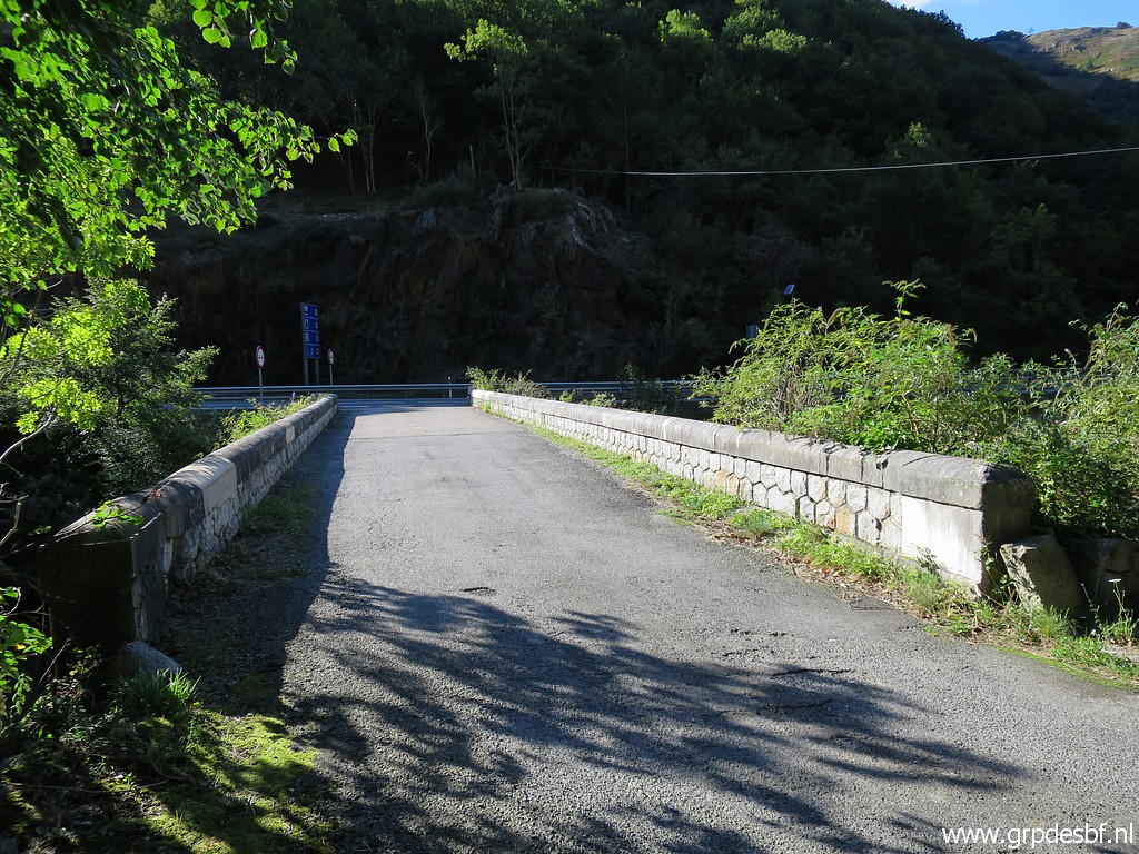 | The old Pont du Roi. (click photo to enlarge) |
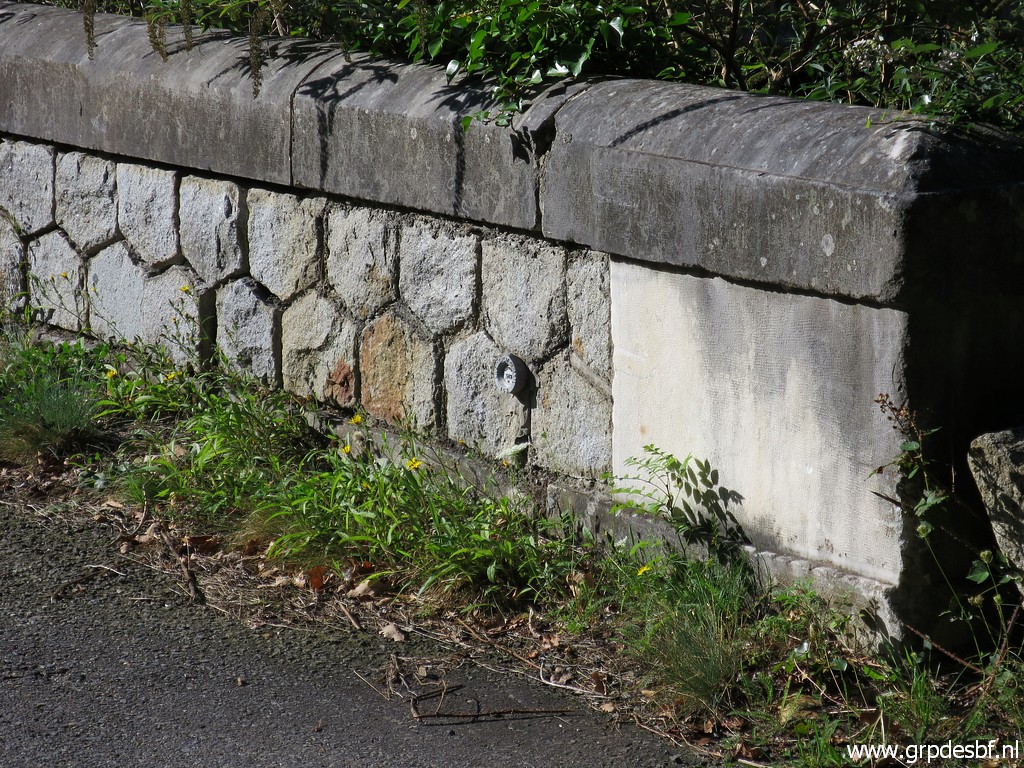 | I spot a (click photo to enlarge) |
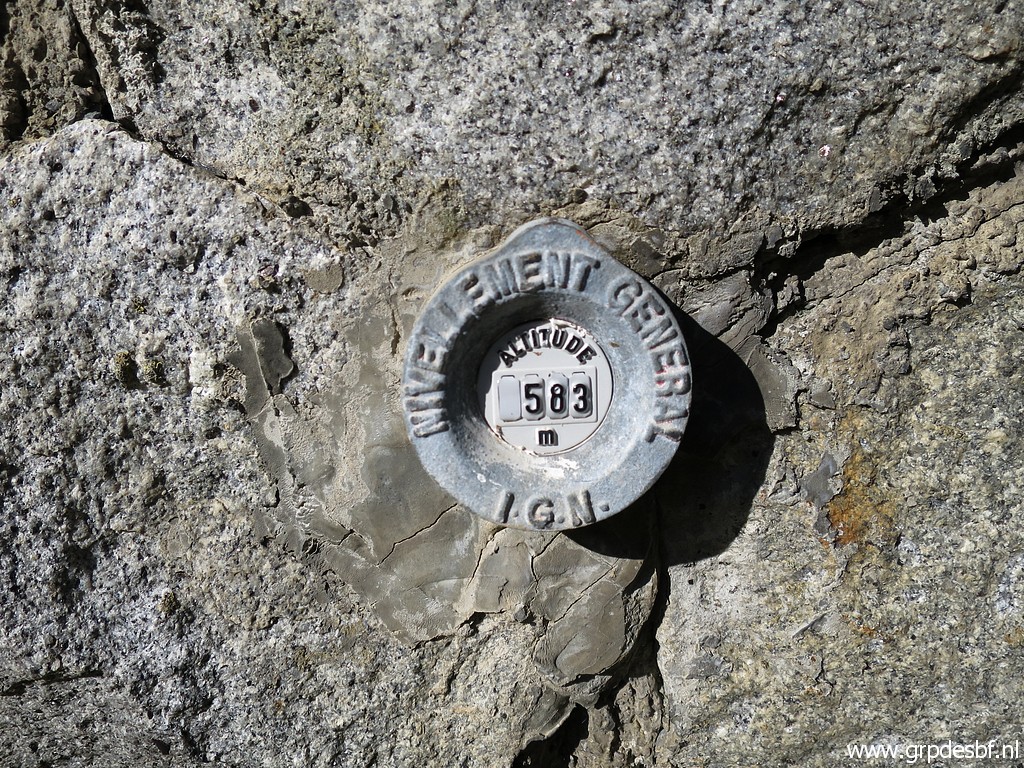 | geodetic marker. (click photo to enlarge) |
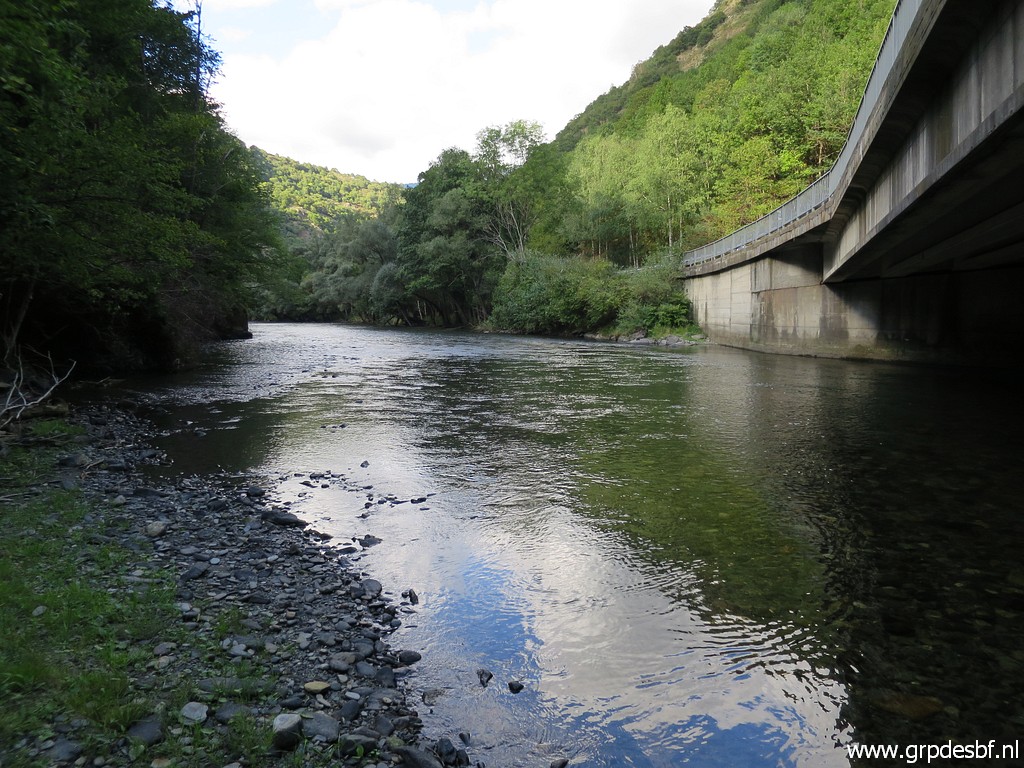
 | This is the south side of the new bridge. (click photo to enlarge) |
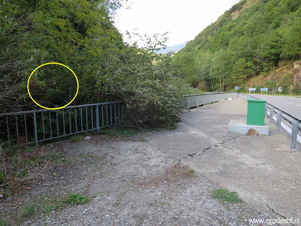
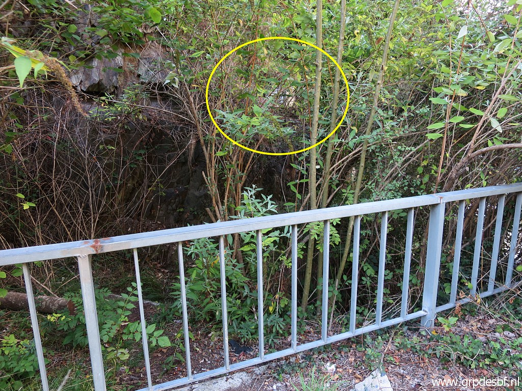 | Through the leaves, bm409g-es is visible. (click photo to enlarge) |
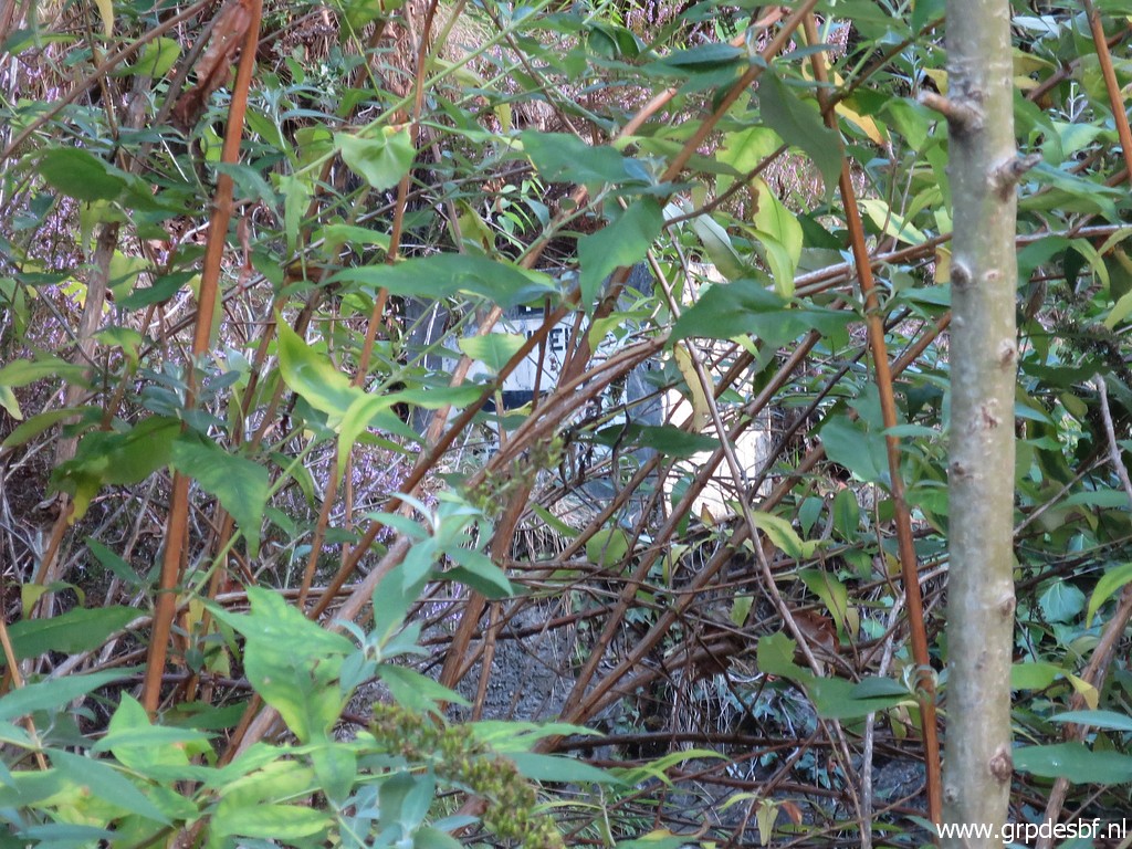 | Zoom-in (click photo to enlarge) |
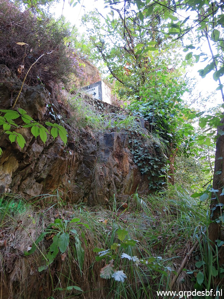 | I climb over the fence (click photo to enlarge) |
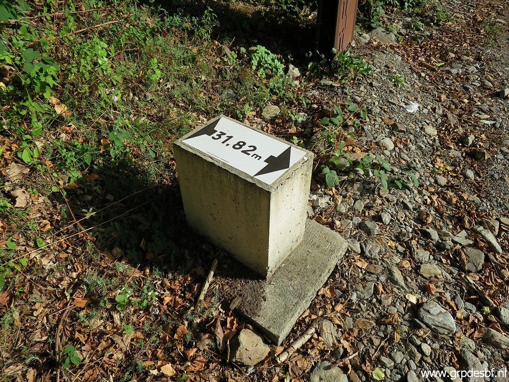
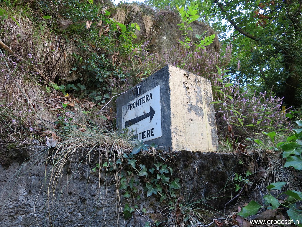 | and climb to bm409g-es. (click photo to enlarge) |
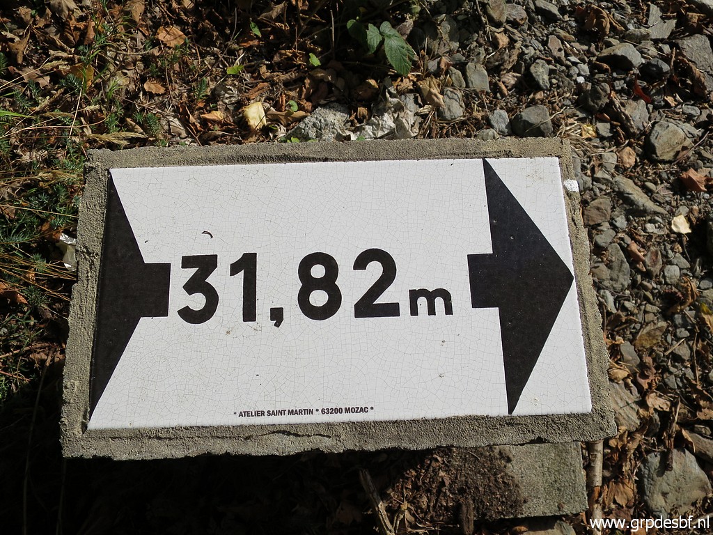
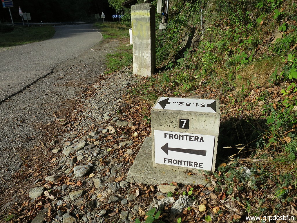
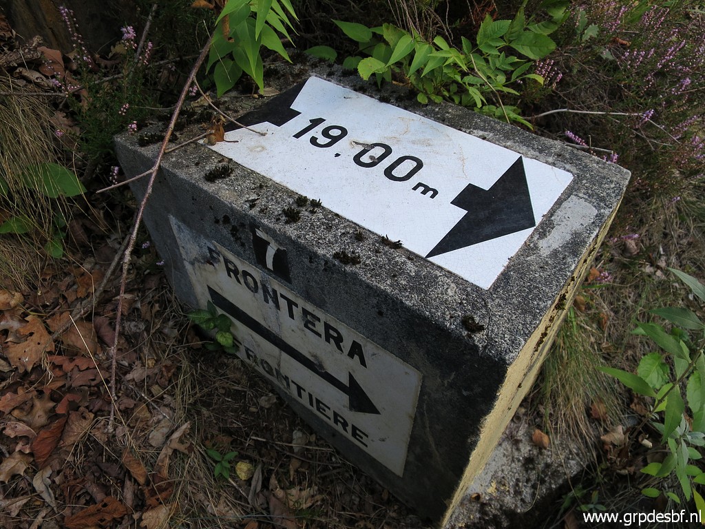 | A bit rockclimbing and I am above the marker. Between bm409 and 410 a double set of 2x7 submarkers were placed around 1970 on either side of the Garonne. The distance (19.00m in this case) is the distance to the borderline in the middle of the river. See for more information this page. (click photo to enlarge) |
 | Bm409g-es from above. (click photo to enlarge) |
 | Zoom-in (click photo to enlarge) |
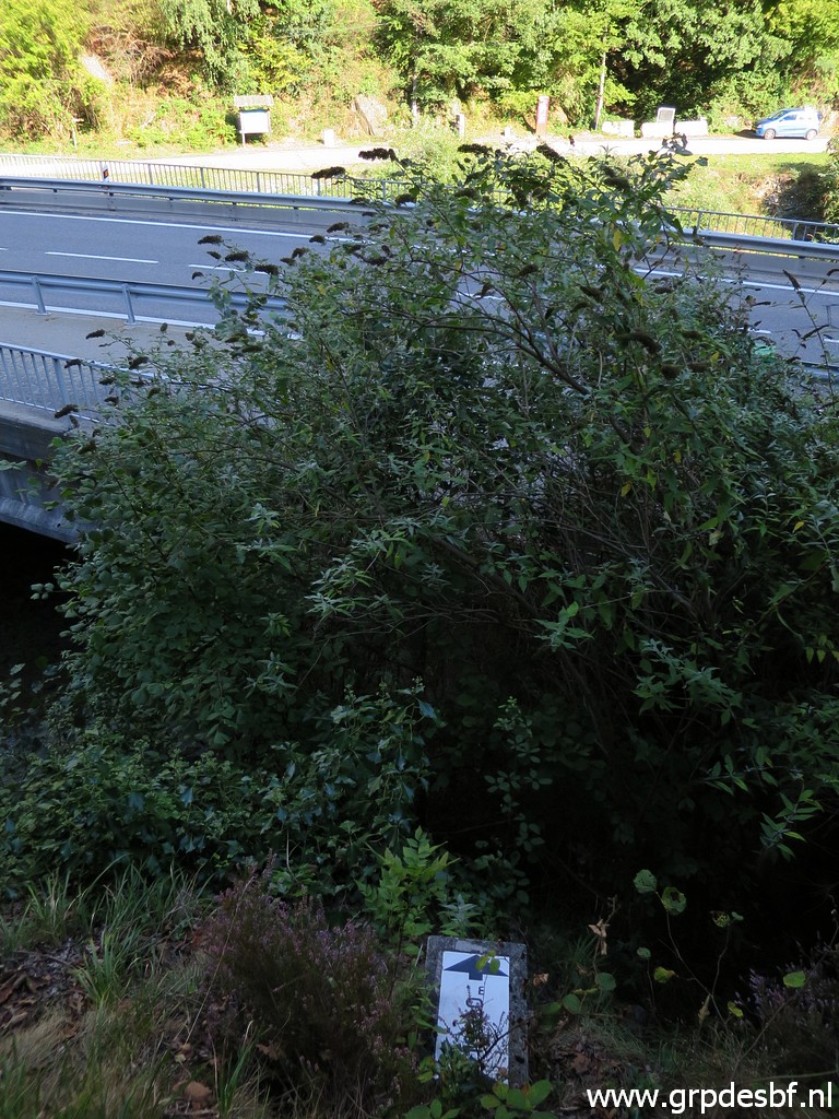
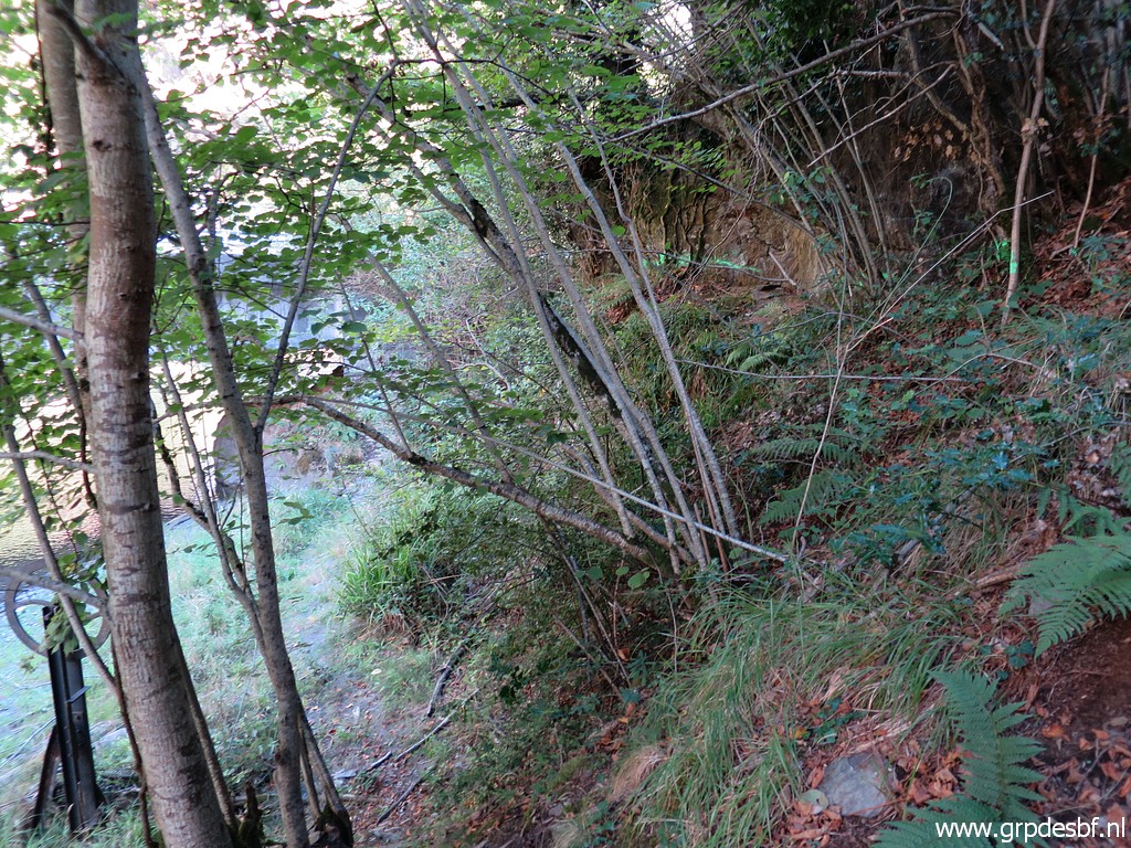
 | Now I am at the trail above bm409g-es. In the distance - looking N - the cycle trail in construction. (click photo to enlarge) |
 | Same spot but looking S. (click photo to enlarge) |
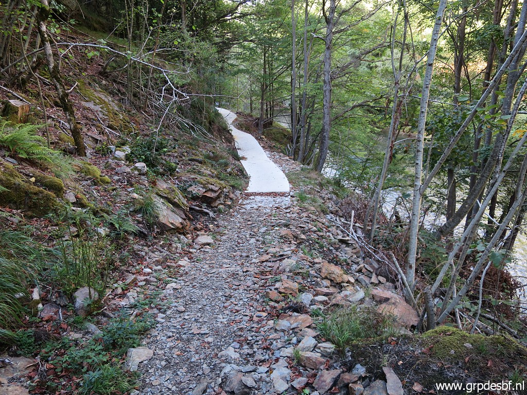 | I see that there has been no additional work done since june. (click photo to enlarge) |
 | It is a bit of a mystery for me why the constructors stopped at this point. It seems to me that - at this point - they want to lead the cycle track to the left along the steep slope. I will explain my presumption. (click photo to enlarge) |
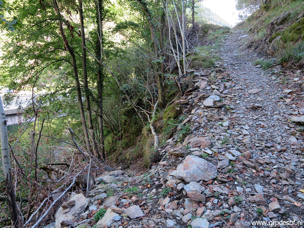 | From the end of the concrete track, a trail descends (click photo to enlarge) |
 | to the waterfront. (click photo to enlarge) |
 | What strikes is that there are green painted stripes on the rocks. (click photo to enlarge) |
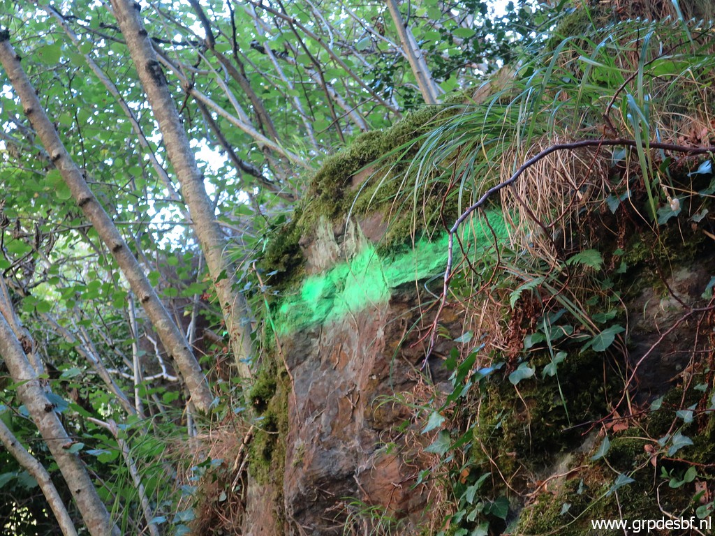 | Zoom-in (click photo to enlarge) |
 | Another stripe of green paint (click photo to enlarge) |
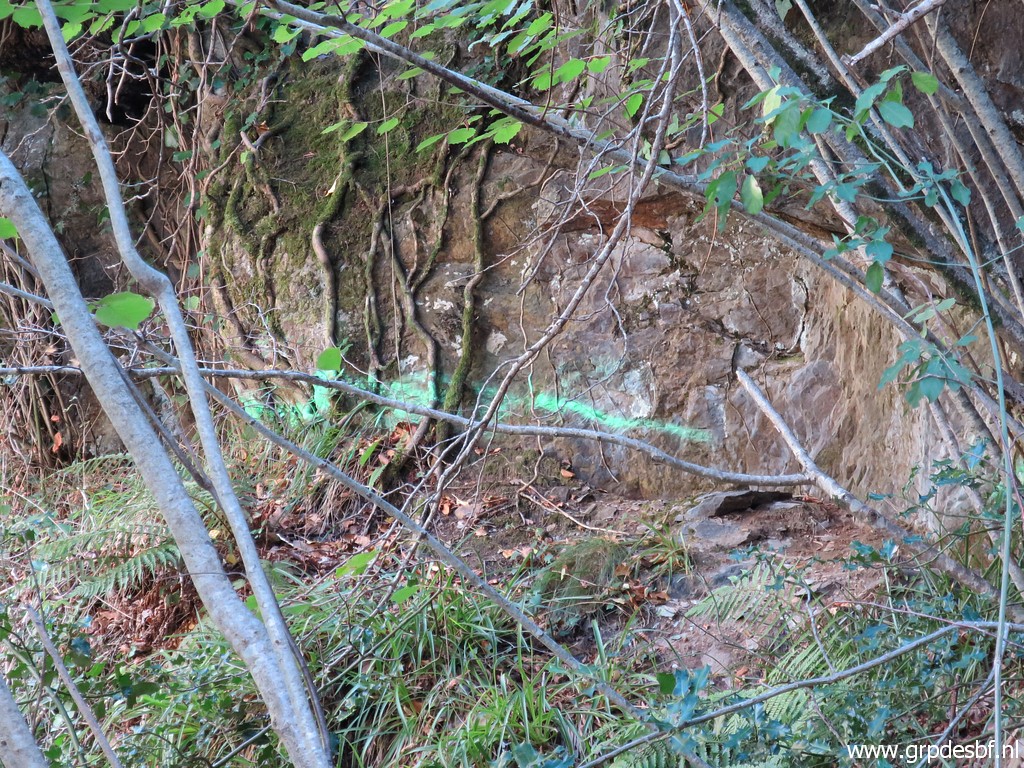 | Zoom-in (click photo to enlarge) I thought that they are meant to indicate where a construction has to be built for the cycle track. |
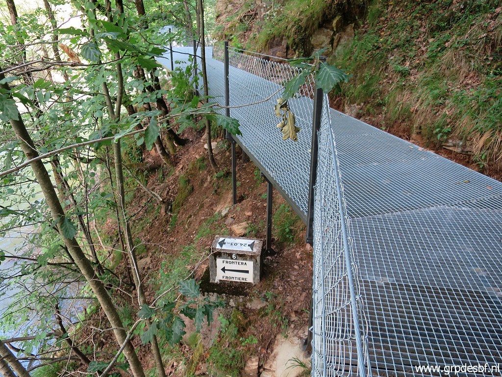 |
And then I mean a construction like this one (photographed on 20210610). |
|
On the other hand: on this map, we see already the track of the 'Transgarona'. And that track continues further along the trail above bm409g-es which makes a lot more sense. |
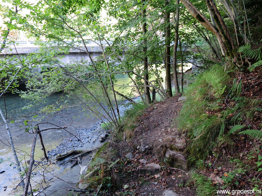
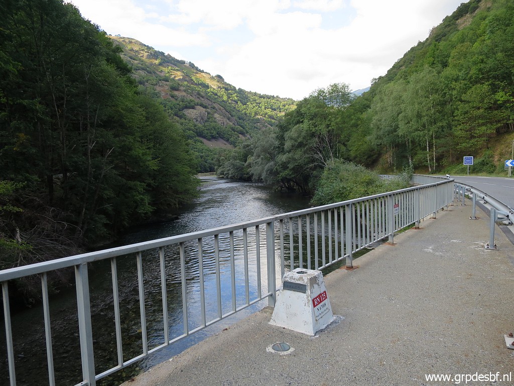
 | View at the Garonne and the bridge. (click photo to enlarge) |
 | Back at the bridge. (click photo to enlarge) |
 | Once again, I make pictures of the various markers on the bridge itself. First pictures of the markers (click photo to enlarge) |
 | at the west-side of the bridge. (click photo to enlarge) |
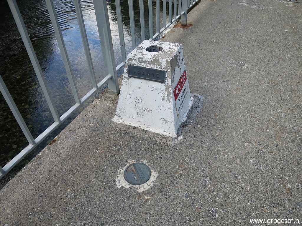
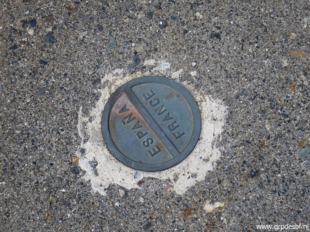 | Plate (click photo to enlarge) |
 | Then at the east-side of the bridge I photograph (click photo to enlarge) |
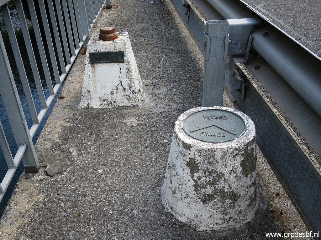 | two other markers. (click photo to enlarge) |
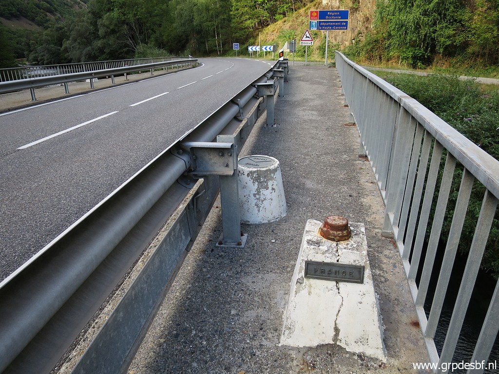 | Looking N (click photo to enlarge) |
 | Back at the parking with (click photo to enlarge) |
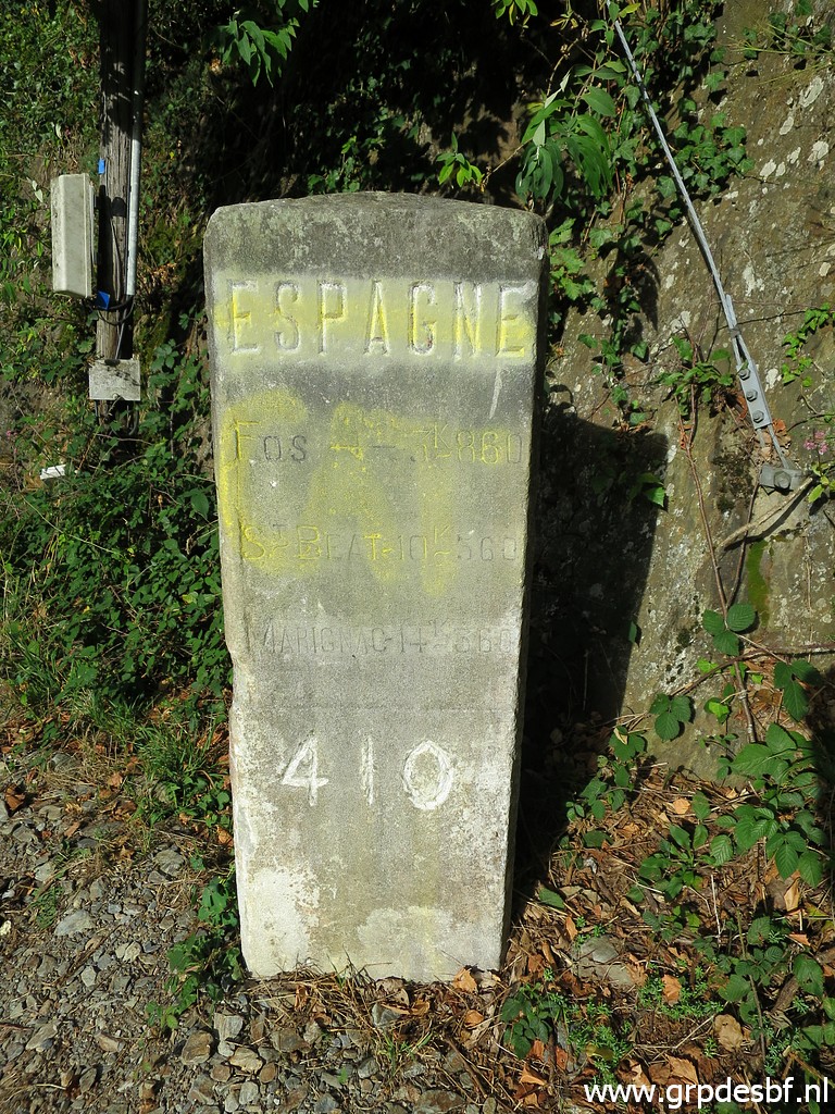
 | bm410 (click photo to enlarge) |
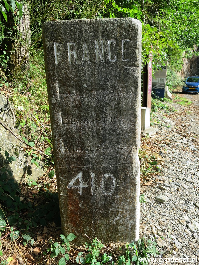 | which used to be a milestone but which was upgraded to a bordermarker when the original bm410 had disappeared. See this page for an old picture of the original bm410. (click photo to enlarge) |
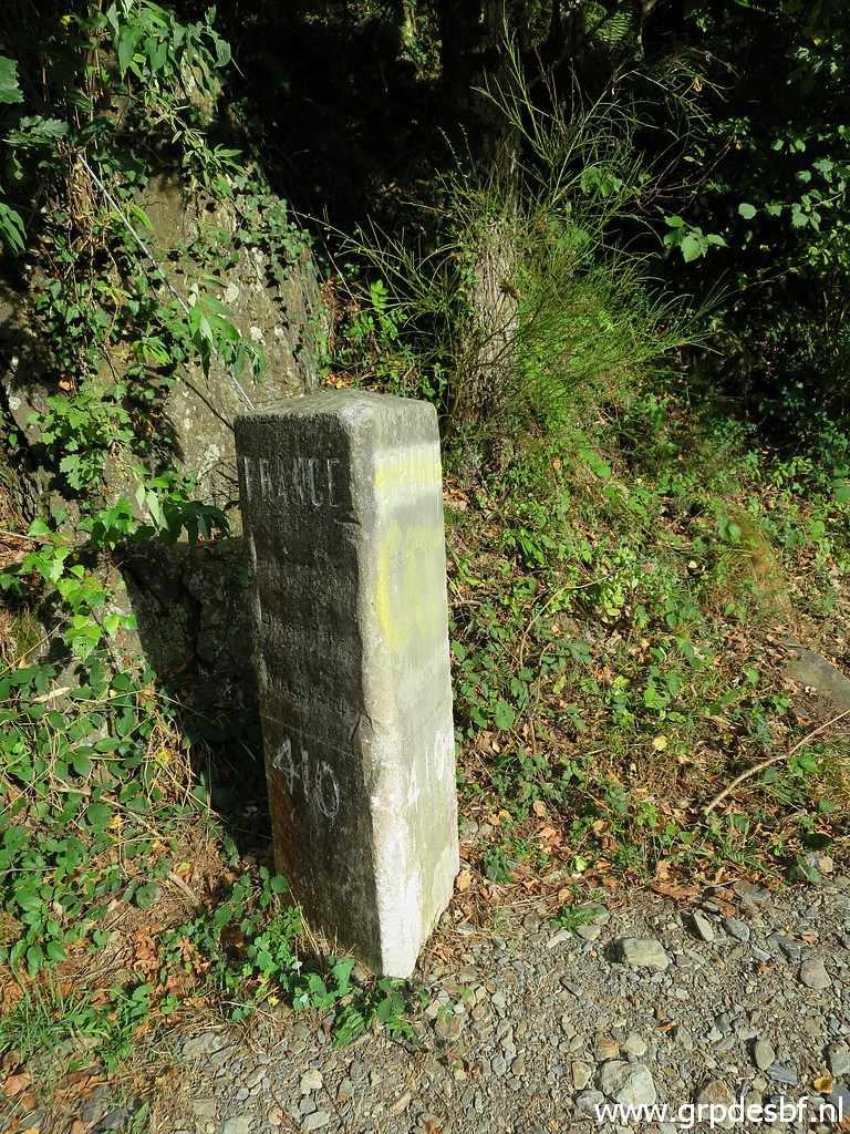 | Bm410 (click photo to enlarge) |
 | Bm410 (click photo to enlarge) |
 | Bm410 (click photo to enlarge) |
 | Bm409g-fr (click photo to enlarge) |
 | Bm409g-fr (click photo to enlarge) |
 | Bm409g-fr Back to the camping. (click photo to enlarge) |