|
The
bordermarkers of the Pyrenees : all my trips
|
|
| -
12 july
2010 - Knock-out by the heat  previous
trip next
trip previous
trip next
trip  |
 |
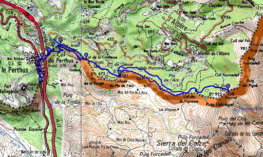 |
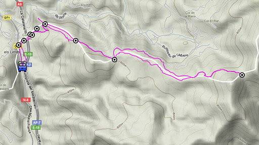
esfr-trip-track-20100712.kml (click to open in Google Earth or copy link to Google Maps; click right on this link to download gpx-version) Daytrip from Le Perthus. Main target: reconnaissance of a grpdesbf-route from bm577 to a bit beyond 582. When I did these bm's on 26 april 2006 and 27 april 2006, I wandered a lot around to find them. |
 |
For explanation of
the gps-coordinates and other cartographic backgrounds: see my cartography page According to the gp-tripteller: distance: 16,4km Time moved: 4.19 (3,8km/hour) Time standing still 2.36 In total 6.55 (2,4km/hour) Total ascent:637m Maximum height: 826m |
 |
According
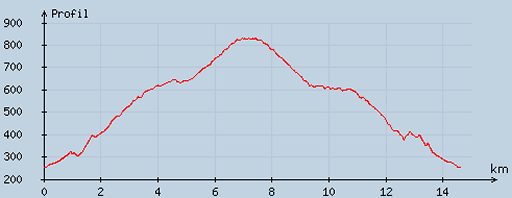
to visugpx - distance : 14.7 km - cum. elevation gain : 644 m - cum. elevation loss : 644 m - total elevation: 1288 - altitude maxi : 831 m - altitude mini : 251 m - altitude average : 522 m |
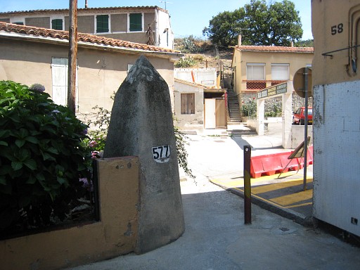 |
Starting in Le Perthus (or "Els Limits", the name of the
Spanish part of this town) at 11.45 after a
long trip from Puigcerda via Girona and Figueras. Via the backstreet from bm575 straight to bm577. |
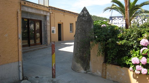 |
The hose in the
little garden against it is useful in filling my water bottles. That
supply turns out to be crucial later on. But first through the small tunnel under the highway. At the other end up the stairway to the right. |
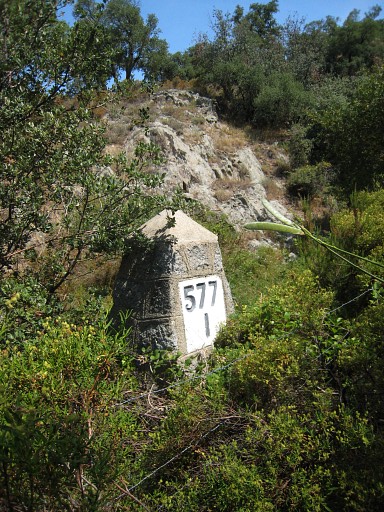 |
There's a faint
track leading away from the highway. It's to the south of a garden /
field / orchard. Soon you'll see bm577I to the left. |
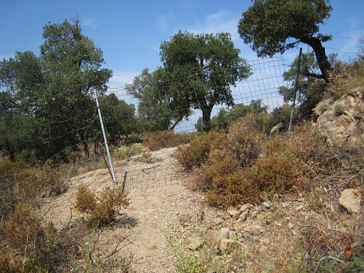 |
A little curve
further on and after passing this fence and immediately reaching a sort
of pass, |
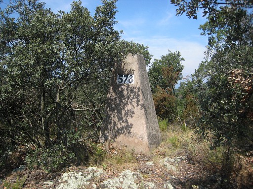 |
you'll find bm578
on the little hilltop at your left hand.. |
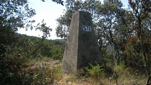 |
Bm578 |
 |
Back
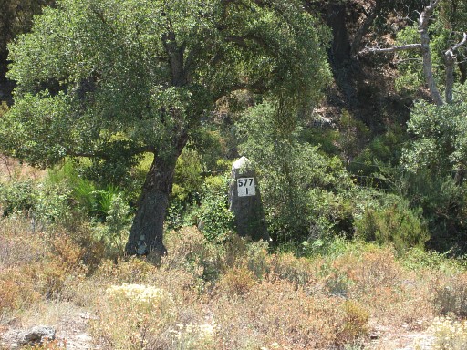
to that 'pass'. Looking down, you'll see bm577I once
again but now from the other side. |
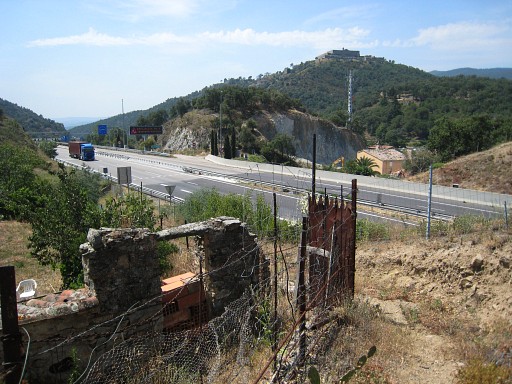 |
I walk back to the
highway but now exploring a track to the north of that garden / field /
orchard. It's an easier and more public track from the the tunnel to the 'pass' between bm577I and bm578. You don't have to tackle that fence. |
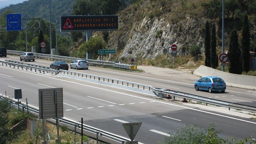 |
Notice the change
in the tarmac and the stripes: bordermarkers in their own right. |
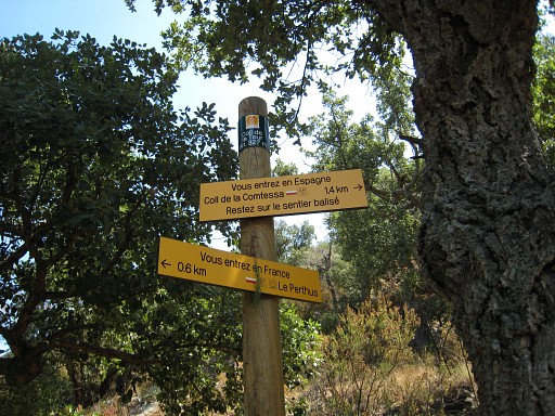 |
At
the other end of the pass, there are yellow signposts, telling there's
a new route of the GR10 (it wasn't there in 2006), leading to Col de la
Comtessa, with bm580. |
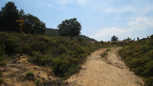 |
And via this
GR10-trail - going left at this very spot, close to a field where I
camped in 2006 - |
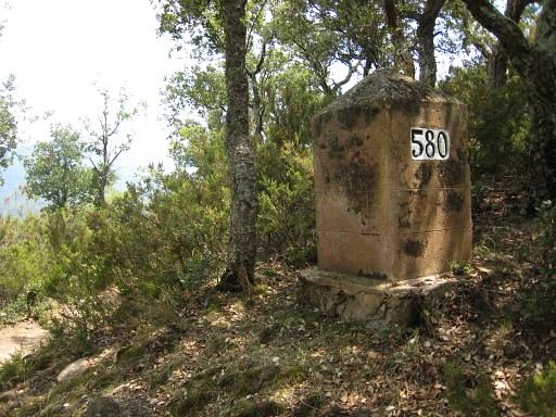 |
it's easy to reach
bm580. |
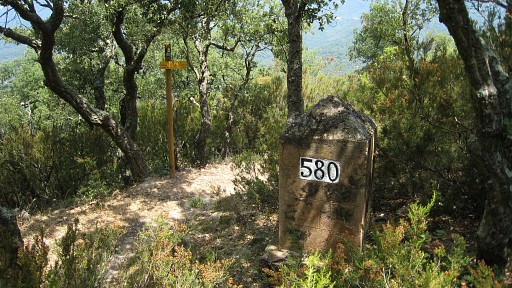 |
Bm580 |
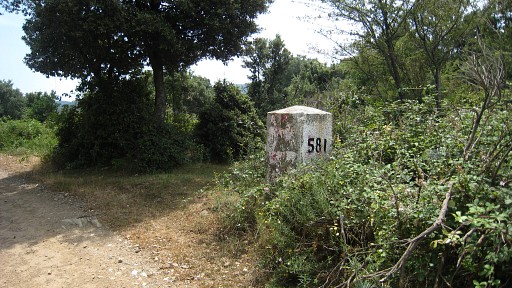 |
Following a
semi-circle (which is the GR10 for the first part), it's an easy walk
to bm581. |
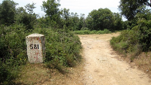 |
So far, so good.
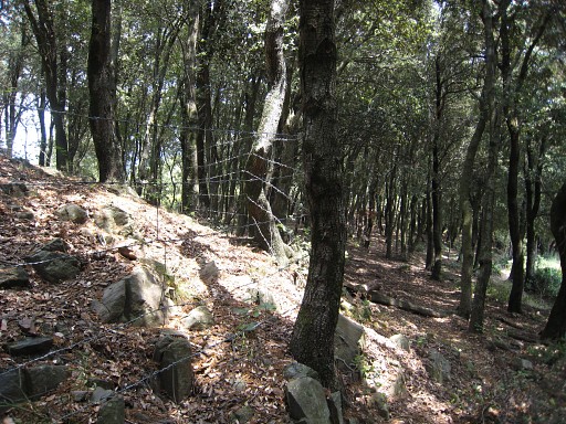
Then - at the pass of
bm581 - I notice a path entering the forest at approximately the
borderridge. On this picture, that's a bit further to the right. |
 |
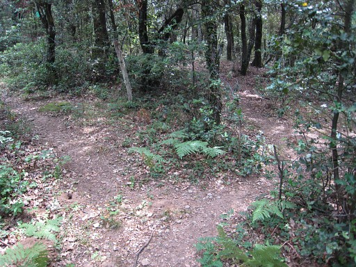
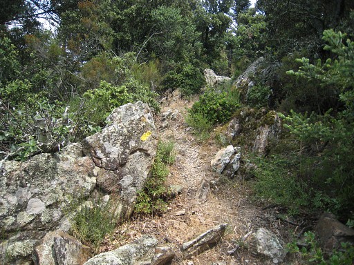
I give it a try: it
passes a bunch of
big boulders at the right, is a bit overgrown, gets faint. A fence
joins in from the left and you should approximately follow that fence -
no track anymore -untill there's a sort of gate in the fence. |
 |
This is that gate.
Continue on the other side of the fence, on a trail now, |
 |
and more on the
ridge itself. Finally it ends at a forest road with a cairn on that junction. By the way: on my return I followed this country road (from bm582) back to bm481 and this route is probably a bit longer but far more easy then the trail through the forest. Anyway: follow that country road,to the east. At bifurcations, take the higher one, except when the Coll Fourcat and the rocky hilltop of Puig del Pigné come in sight and the higher road leads back. |
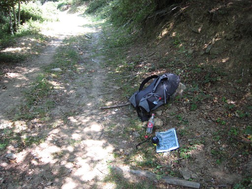 |
But: while plodding
and sweating on,
the heat overwhelms me. I have to stop, drink water and release heat by
involuntary fast breathing. It's frightening but I recover and continue
to bm582. |
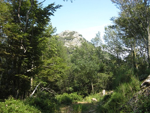 |
Close to the pass -
the hilltop of Puig del Pigné in sight - the forest road gets
overgrown with broom. |
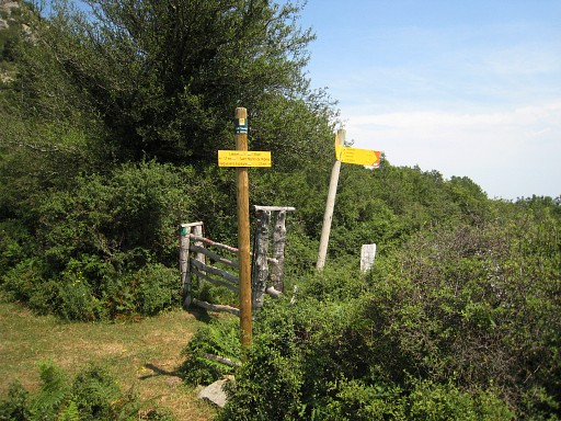 |
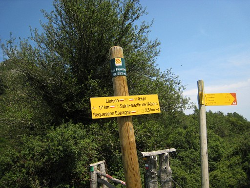
This is Col Fourcat
with a lot of signs. |
 |
The col is on a
connexion between the GR10-trail and its Spanish counterpart the GR11. |
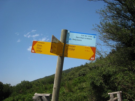 |
And the blue sign seems to indicate a trail to the east on the spanish side to Coll de l'Ullat and Saint Marti d'Albers, both to the north in France.This seems a misstake. |
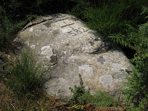 |
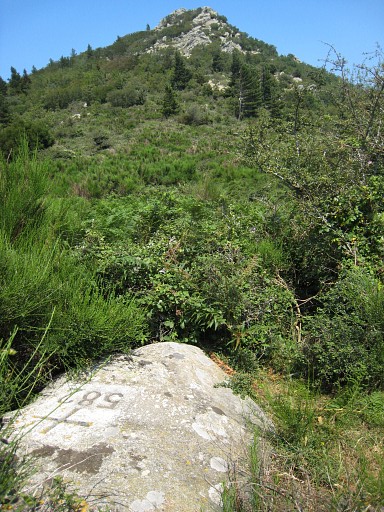
Bm582 is located on the the french side of the fence, I remembered it to be on the other side - and searched there for a while - but was wrong. |
 |
It's too late to
explore the
semi-circle around the Puig del Pigné, the final part of my
planned
reconnaissance. I have to catch to 7pm bus to Figueres. |
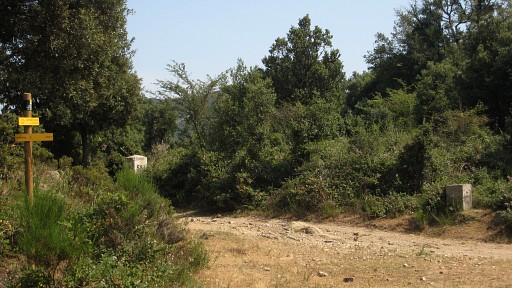 |
So back (on the
country road) to bm581 (that the stone in the background, the other is
not a bm), |
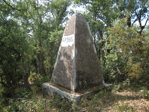 |
then bm580. From
bm580 I follow the borderridge on a sort of track - which fades away -
to bm579bis. |
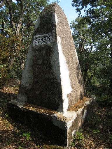 |
Bm579bis |
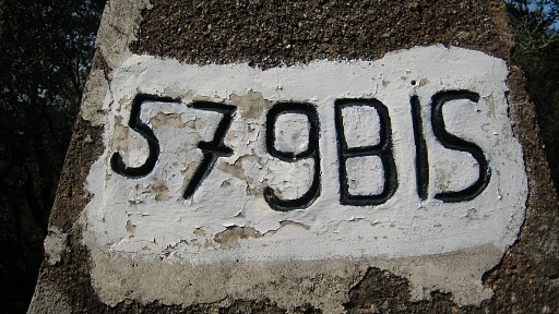 |
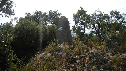
With it's special
number. I try to descend further on the ridge to bm579 but that is not the borderline anymore, as I discover. Scrambling back to bm579bis and in a sw-direction through the bush to the GR10-trail. |
 |
Down on the
GR10-trail untill I'm close to bm579 (according to my gps). Into the
bush up to bm579 |
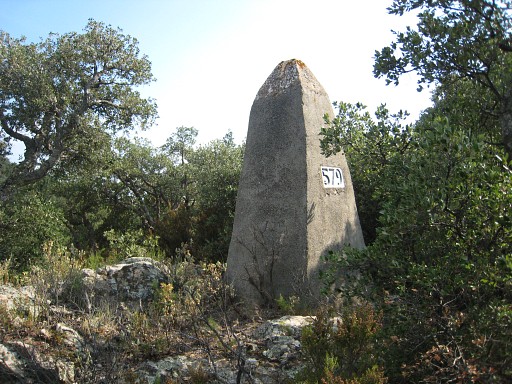 |
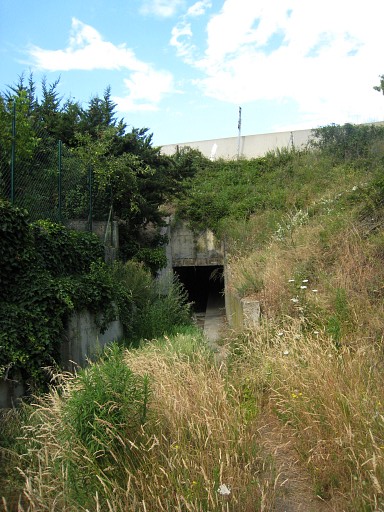
Bm579 |
 |
and then down to
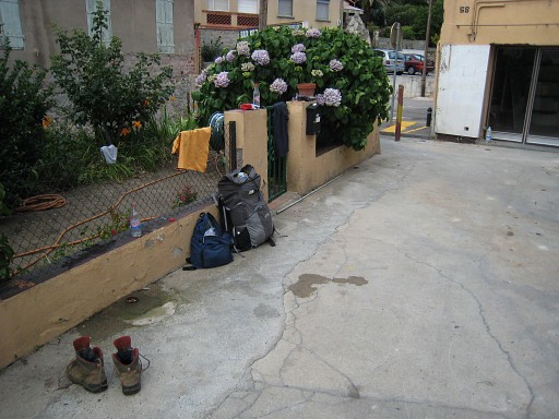
that 'pass', close to bm578. Back to bm477, I already found out in the beginning that it's easier to go around the fence of a field/garden you notice at your left as you leave the tunnel. This picture:the entrance of the tunnel underneath the highway, seen from the west-side. |
 |
I'm very dirty and
wash myself with help of the hose in the little garden next to bm577. |
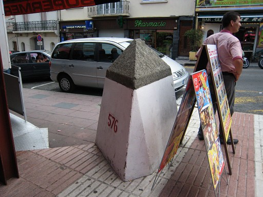 |
And finally I visit
bm576 |
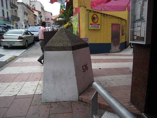 |
with its peculiar
corner-fitted shape. |
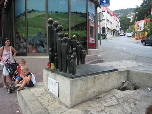 |
And after a
well-deserved beer, I return to the busstop. As on many border-passes in Catalonia, there's a monument remembering the refugees who fled to France at the end of the Spanish Civil War. |
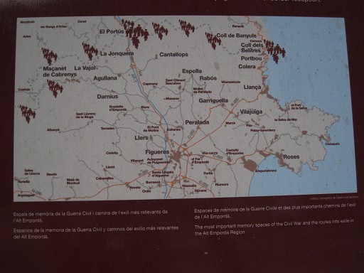 |
This map shows the
most used passes by these refugees. I'm tired and travel to Girona-airport. The end of a very productive 4-days-trip. |
 previous
trip next
trip previous
trip next
trip  |
|
