|
The
bordermarkers of the Pyrenees : all my trips
|
|
| -
wednesday 16 june
2021 - Redoing bm296-305bis and visiting south-side railway-tunnel  previous
trip
next
trip previous
trip
next
trip  |
 |
 |
Summary:
part of a series of 8 daytrips in june 2021 near Bagnères-de-Luchon and
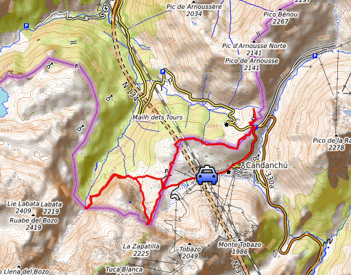
Col de Somport. This is day 6. Today: two trips: - redoing bm296 to 305bis - in Canfranc a visit to the south entrance of the derelict railway-tunnel. Weather: half-cloudy, nice. Basecamp: Camping Le Gave d'Aspe in Urdos |
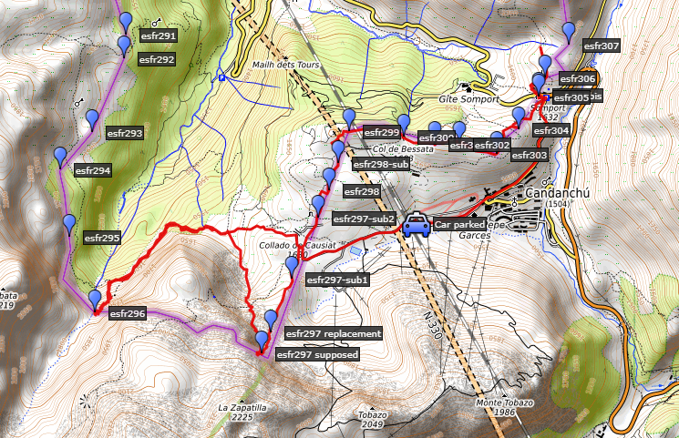 track-20210616.kml
(click to open this trip in Google Earth or copy link to Google Maps; click right on this link to download gpx-version). The gps-track has not been manually corrected which explains the inaccuracy and misalignment at some points. For cartographic backgrounds: see the cartography-page Gps-waypoints of all bordermarkers (most recent version): kml: esfr-bordermarkers-all-waypoints.kml gpx: esfr-bordermarkers-all-waypoints.gpx (with elevation added by gpsvisualizer.com) |
|
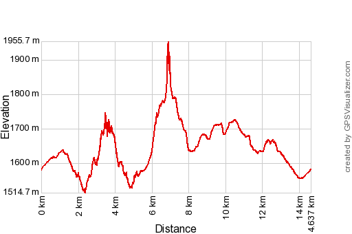 |
According to Garmin
Basecamp (uncorrected original track): Distance: 16,6 km Max-height: 1812m Min-height: 1528m Elevation: +947m -949m Total elevation: 1897m Start 9:03 Finish 16:24 Total time: 7:21 |
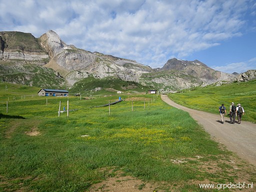 | Parking my car at a giant parking in Candanchu and on my way to bm296. (click photo to enlarge) |
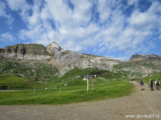 | In the distance the remarkable rockwall (click photo to enlarge) |
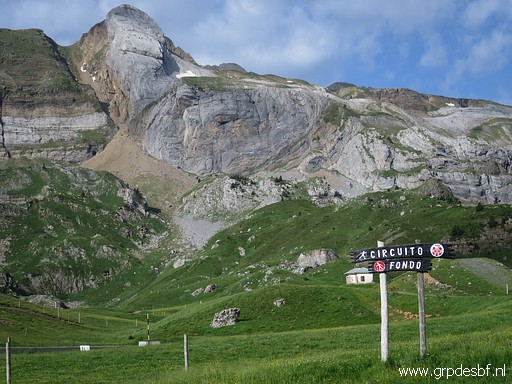 | where once bm297 was engraved. (click photo to enlarge) |
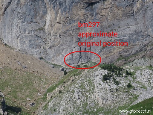 | This is the approximate position of the lost bm297, (click photo to enlarge) |
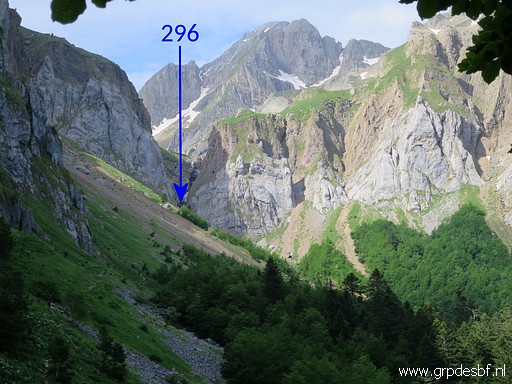 | I follow dirtroads and then trails towards the upper valley and source of le Gave d'Aspe. That is the stream which gives the name to the Vallée d'Aspe. (click photo to enlarge) |
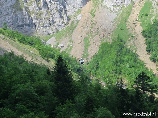 | I spot a helicopter and suspect an emergency operation. (click photo to enlarge) |
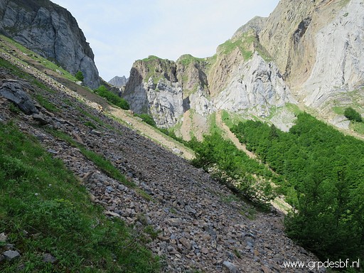 | Getting closer to the Pas d'Aspe. Good view of the rockslides which make access to bm296 above the stream difficult. Yesterday, I tried to reach bm296 climbing along the stream but got blocked. (click photo to enlarge) |
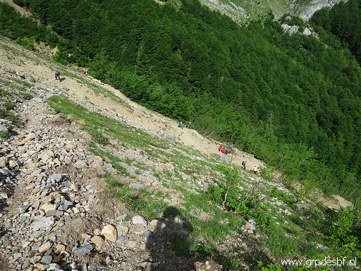 | Emergency workers downhill (click photo to enlarge) |
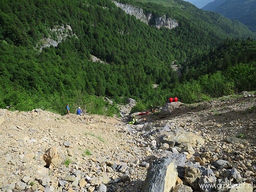 | But it is a training, someone tells me. (click photo to enlarge) |
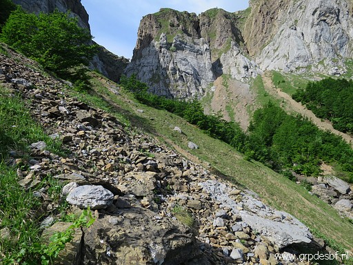 | Meanwhile I am looking uphill how to traverse above the rockslides to bm296. First I climb uphill towards the trees/bushes. (click photo to enlarge) |
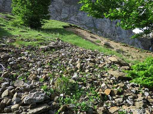 | Then over the grassy part (click photo to enlarge) |
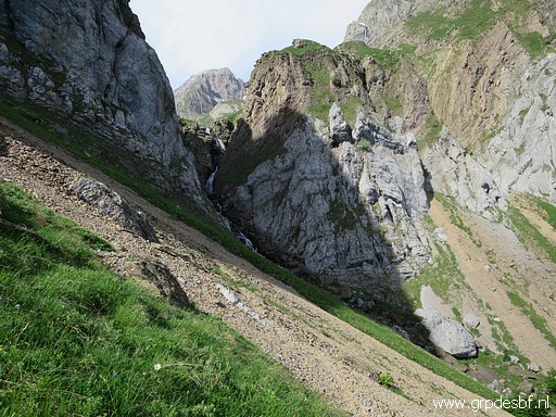 | until I cannot avoid crossing a rockslide. (click photo to enlarge) |
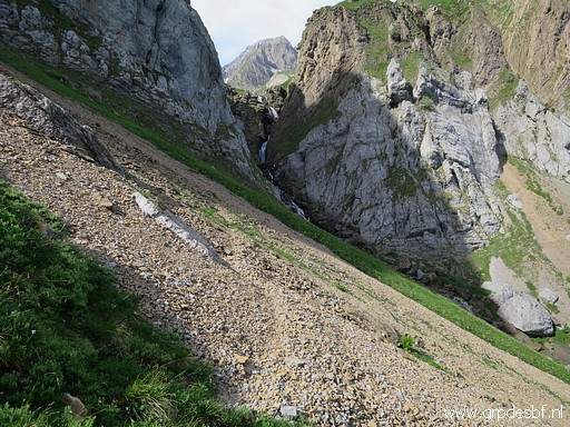 | But luckily, there is a trail passing it. (click photo to enlarge) |
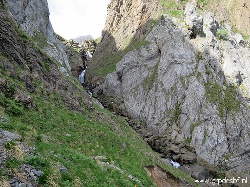 | At the other side of the rockslide, it's not difficult to descend towards the stream (click photo to enlarge) |
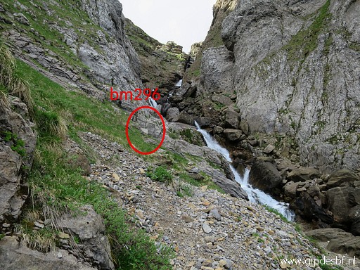 | and get to bm296. (click photo to enlarge) |
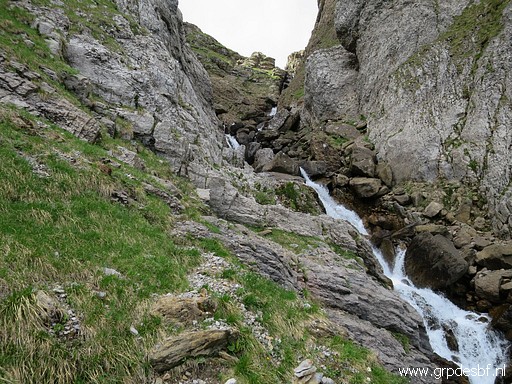 | Bm296 (click photo to enlarge) |
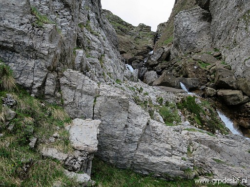 | Bm296 (click photo to enlarge) |
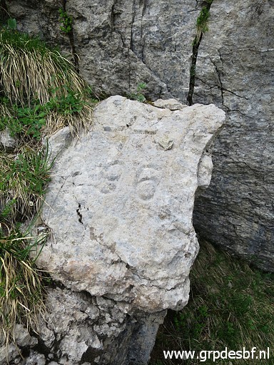 | Bm296 (click photo to enlarge) |
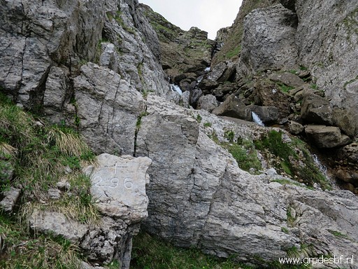 | Bm296 (click photo to enlarge) |
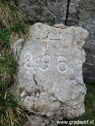 | Bm296 (click photo to enlarge) |
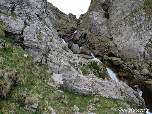 | Bm296 (click photo to enlarge) |
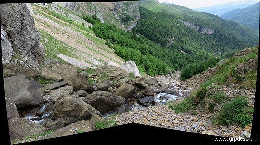 | From bm296 looking downstream. At this moment, the stream is too strong to cross. (click photo to enlarge) |
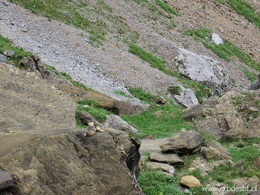 | Later in the summer, that might be better to do. At the other side of the stream, I see cairns and in general that side looks more easy to climb uphill along the stream. But in the end you have to cross the stream anyway. (click photo to enlarge) |
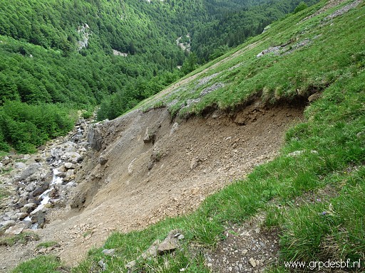 | Impression of how the hillside is eroding into the stream. (click photo to enlarge) |
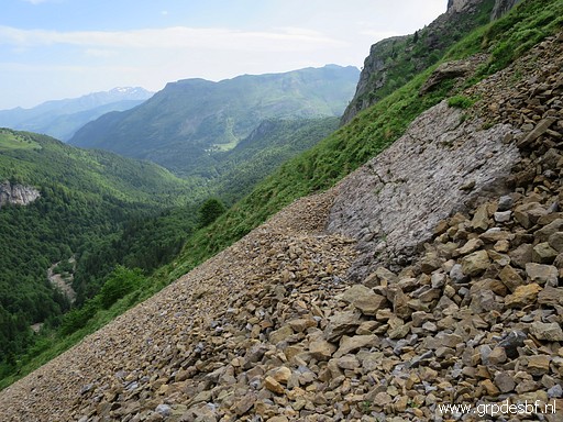 | I go back, crossing the rockslide again (click photo to enlarge) |
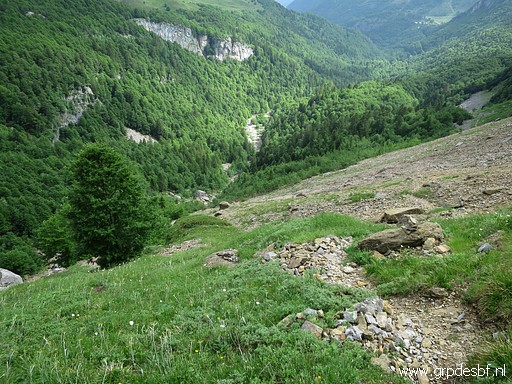 | and descending back to the trail, the way I came. (click photo to enlarge) |
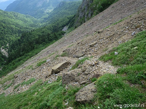 | But before I descend, I see that there is also a path crossing the the next rockslide, arriving at the main trail further on. But that is not useful for our goal: reaching bm296. (click photo to enlarge) |
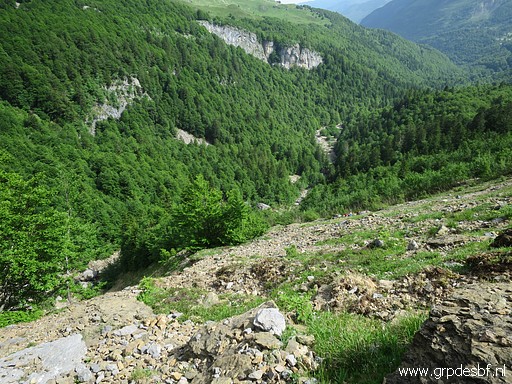 | Now descending back to the trail. (click photo to enlarge) |
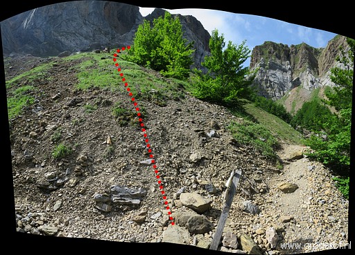 | Once at the trail, I look back uphill with the route I took in red. Note the small signpost which indicates a diversion of the trail to the stream. From that signpost, you should climb and traverse like I did to bm296. (click photo to enlarge) |
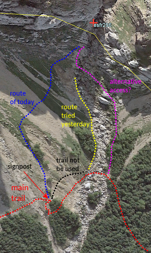 |
Let's summarize the information on a screenprint of Google Earth. |
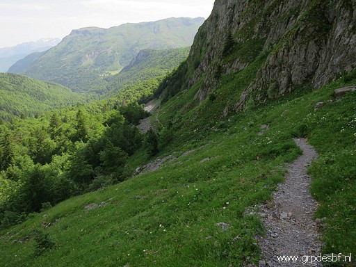 | I return along the main trail, curving through the forest around the rockwall. (click photo to enlarge) |
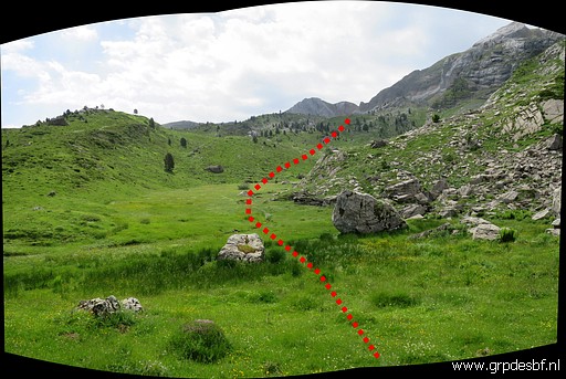 | Having arrived at the vast plateau where I will do bm297 to 305bis. The route towards bm297 indicated. (click photo to enlarge) |
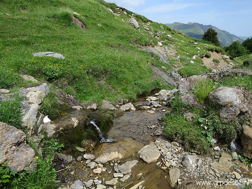 | But first I refill my waterbottles at the stream nearby. (click photo to enlarge) |
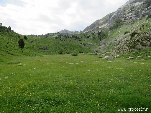 | Easy progress in the beginning (click photo to enlarge) |
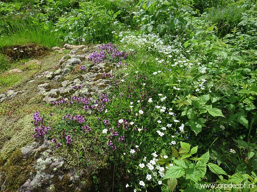 | with a blossoming vegetation. (click photo to enlarge) |
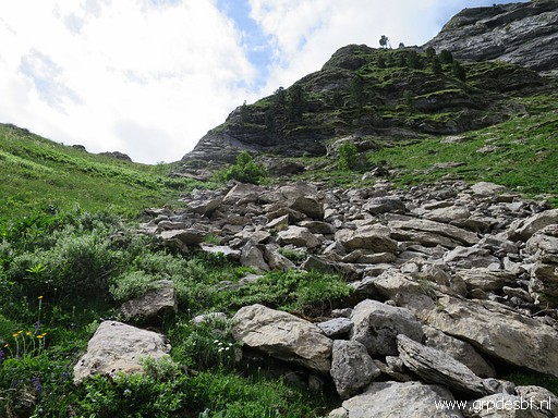 | Then the rocky climbing starts to (click photo to enlarge) |
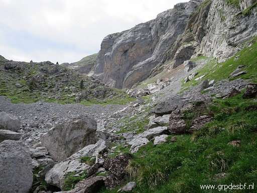 | a kind of Col where we can already see the giant rockface with (the lost) bm297. Altogether, this connection to bm297 is tougher than you might expect: hardly any trail and rocky. In my case: I had a energy dip, possibly a bit dehydrated. (click photo to enlarge) |
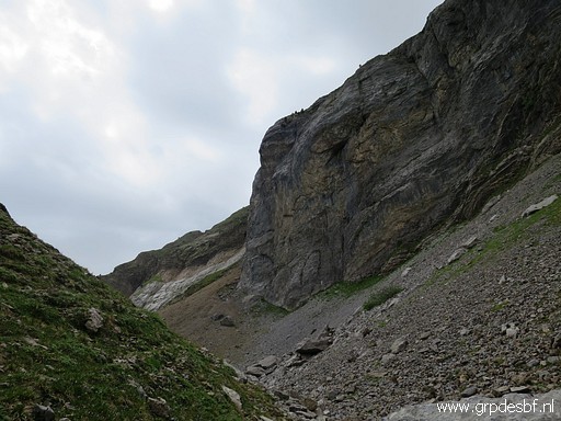 | Approaching the spot of the original location of bm297 (click photo to enlarge) |
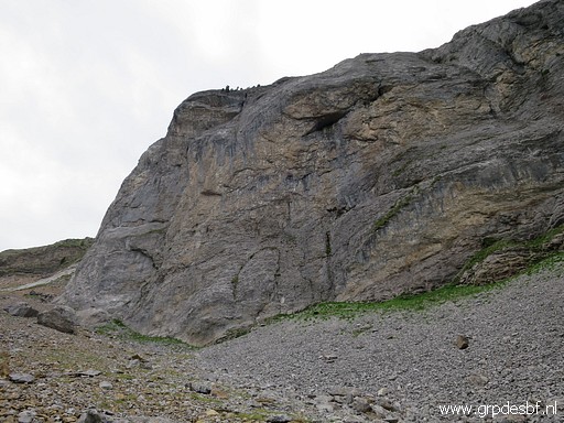 | At that is on this rockface. But where exactly was bm297 engraved? I made my own geodetic estimation - using my walking stick as an geodetic tool - on 27-8-2012 (click photo to enlarge) |
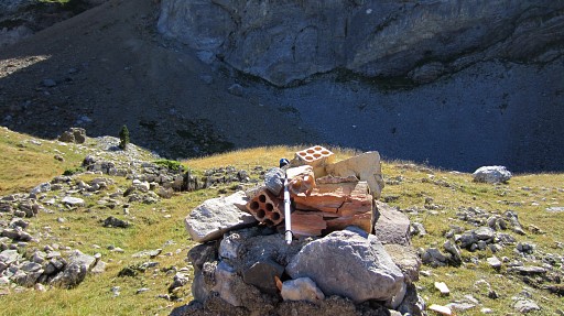 |
Picture from 2012, You see my walking stick lying on the replacement of bm297 which was placed ± 175m N of the rockwall. |
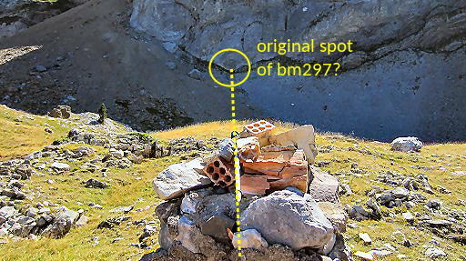 |
Same picture but now annotated. I pointed my walking stick in the direction of the next marker, bm297-sub1. And because the borderline from the original bm297 up to bm298 (via two submarkers) is a straight line, I could establish the beginning of that straight line. Thus where bm297 geodetically measured should have been engraved. |
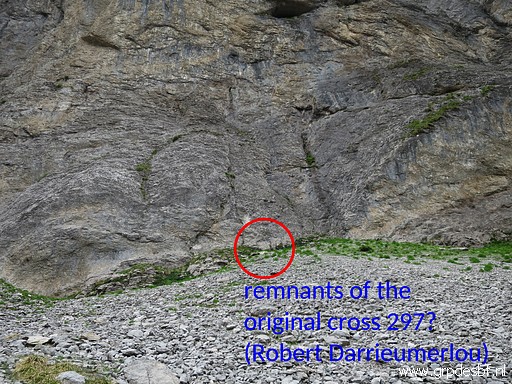 | But Robert Darrieumerlou did his own research along the rockwall and points at his website at a possible original location of bm297 on this page. With help of his pictures, I'm going to see for myself. (click photo to enlarge) |
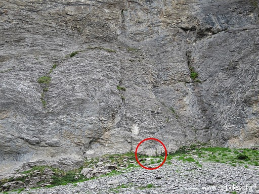 | Zooming in to that original location according to Robert Darrieumerlou (click photo to enlarge) |
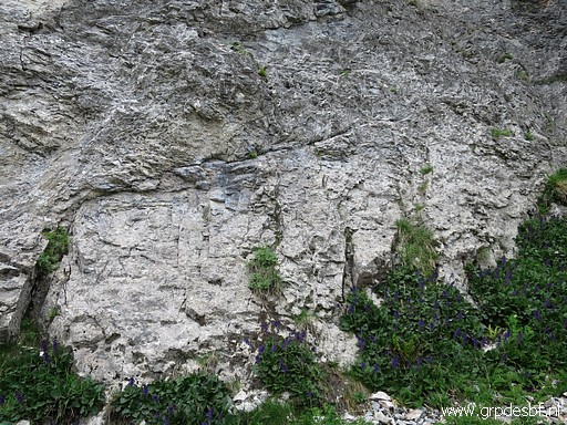 | A further zoom-in to that spot (click photo to enlarge) |
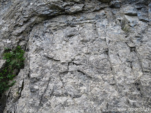 | And this what might possibly be the original original location of bm297, according to Robert Darrieumerlou We see indeed a rectangular 'bas-relief' but in my opinion too irregular and incomplete to be handmade. (click photo to enlarge) |
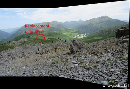 | From the spot of the lost bm297 a view to the replacement of bm297, ± 175m N. (click photo to enlarge) |
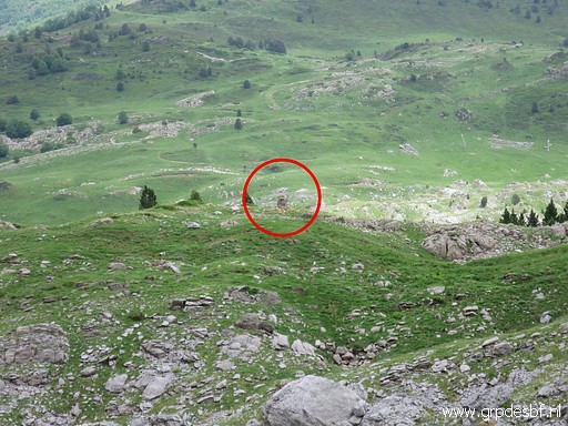 | Bm297 - replacement (click photo to enlarge) |
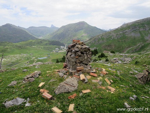 | Bm297 - replacement (click photo to enlarge) |
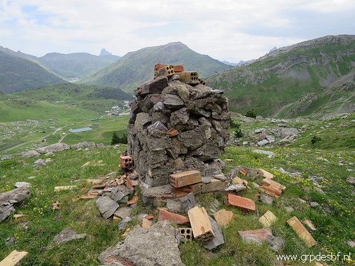 | Bm297 - replacement (click photo to enlarge) |
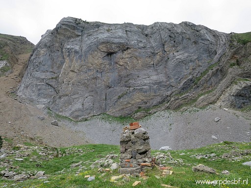 | Bm297 - replacement, looking back at the rockwall (click photo to enlarge) |
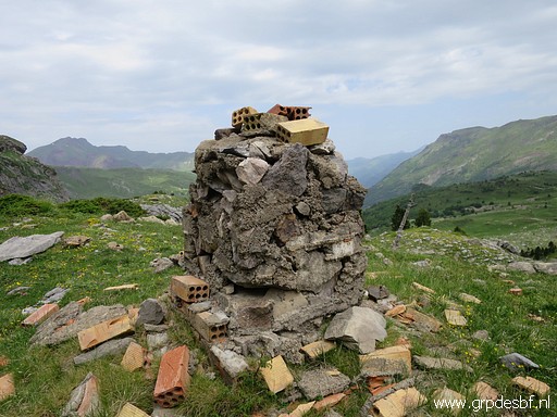 | Bm297 - replacement (click photo to enlarge) |
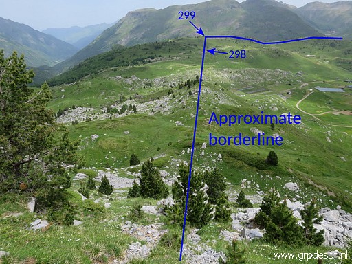 | The borderline ahead, a straight line via bm298 to bm299. Between bm297-replacement and bm298, there are two unnumbered submarkers. (click photo to enlarge) |
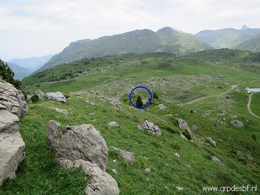 | Bm297 - submarker 1 in the distance (click photo to enlarge) |
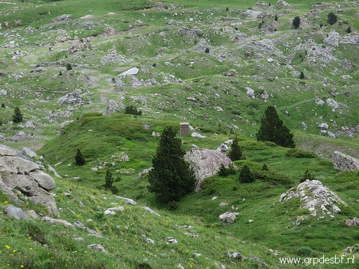 | Bm297 - submarker 1 (click photo to enlarge) |
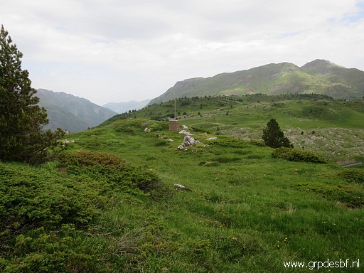 | Bm297 - submarker 1 (click photo to enlarge) |
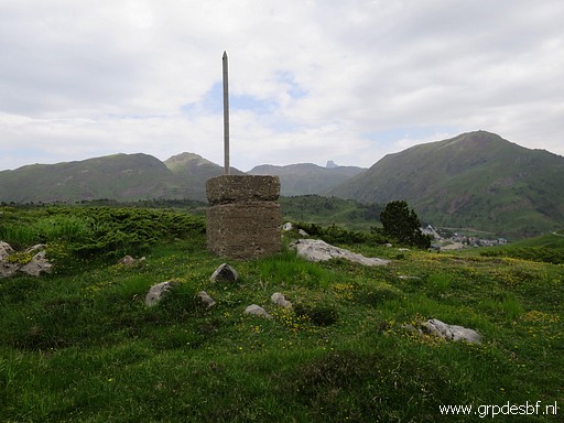 | Bm297 - submarker 1 (click photo to enlarge) |
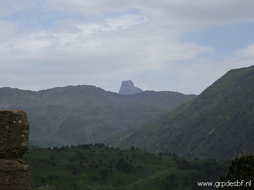 | The Pic du Midi d'Ossau in the far distance. (click photo to enlarge) |
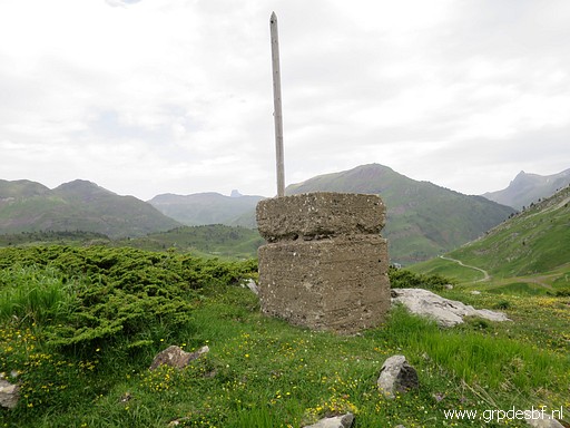 | Bm297 - submarker 1 (click photo to enlarge) |
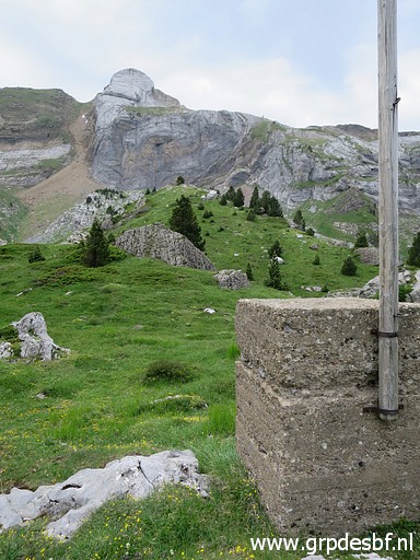 | Bm297 - submarker 1, looking back to the rockwall of the original bm297 (click photo to enlarge) |
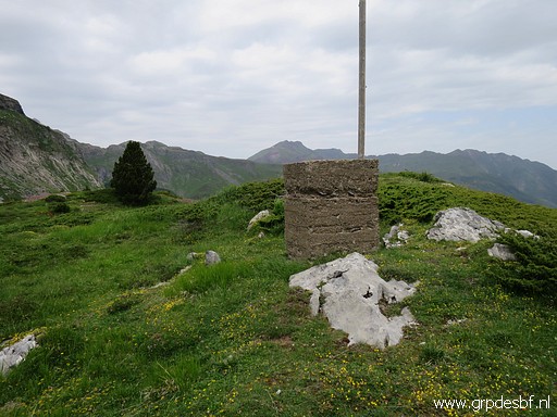 | Bm297 - submarker 1 (click photo to enlarge) |
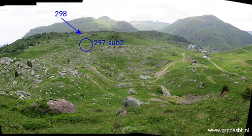 | Bm297 - submarker 2 in the far distance (click photo to enlarge) |
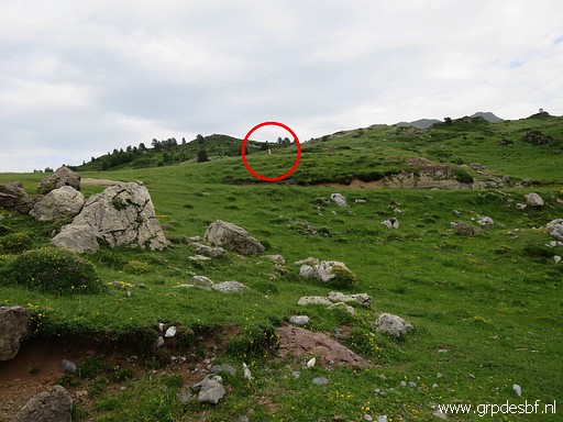 | Bm297 - submarker 2, getting closer. (click photo to enlarge) |
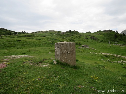 | Bm297 - submarker 2 (click photo to enlarge) |
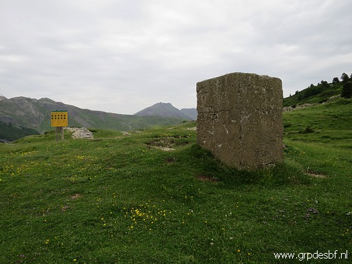 | Bm297 - submarker 2 (click photo to enlarge) |
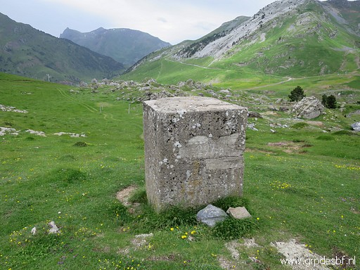 | Bm297 - submarker 2 (click photo to enlarge) |
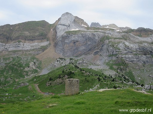 | Bm297 - submarker 2, looking back to the rockwall of the original bm297 (click photo to enlarge) |
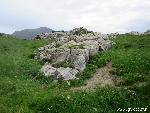 | Further on, on this bed of rocks, I will find (click photo to enlarge) |
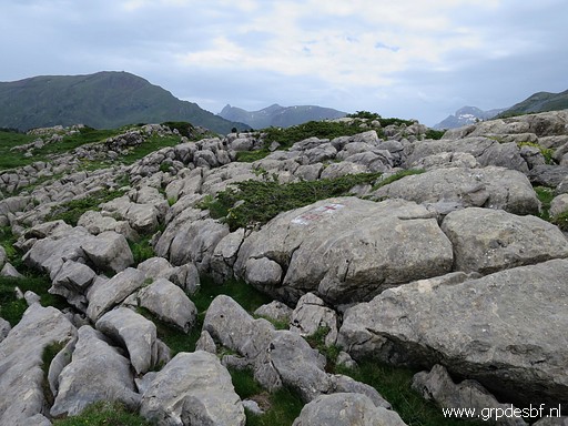 | bm298. (click photo to enlarge) |
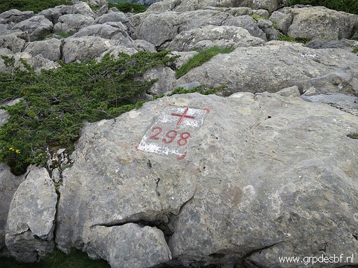 | Bm298 (click photo to enlarge) |
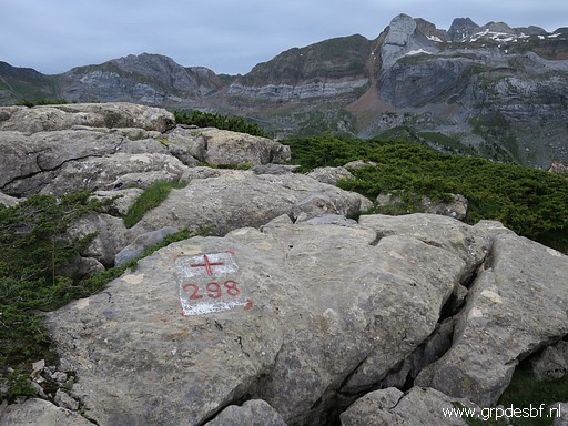 | Bm298, looking back to the rockwall of the original bm297 (click photo to enlarge) |
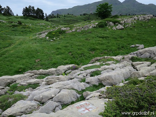 | Bm298 (click photo to enlarge) |
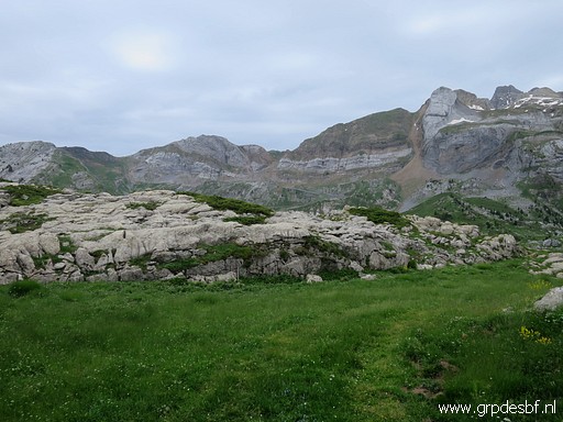 | Bm298 (click photo to enlarge) |
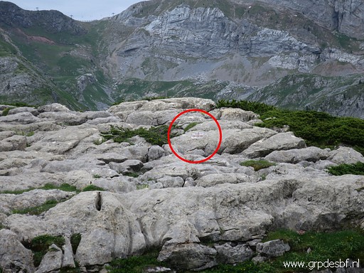 | Bm298, zoom-in (click photo to enlarge) |
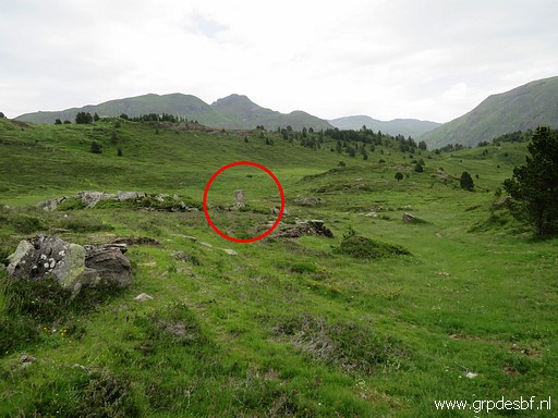 | Between bm298 and 299, there is also an unnumbered submarker. (click photo to enlarge) |
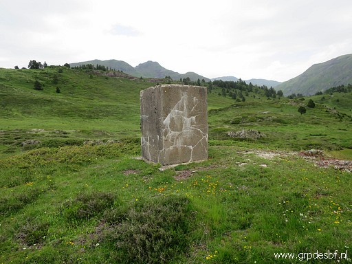 | Bm298 - submarker (click photo to enlarge) |
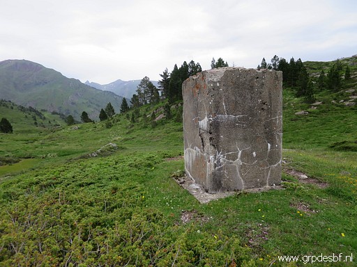 | Bm298 - submarker (click photo to enlarge) |
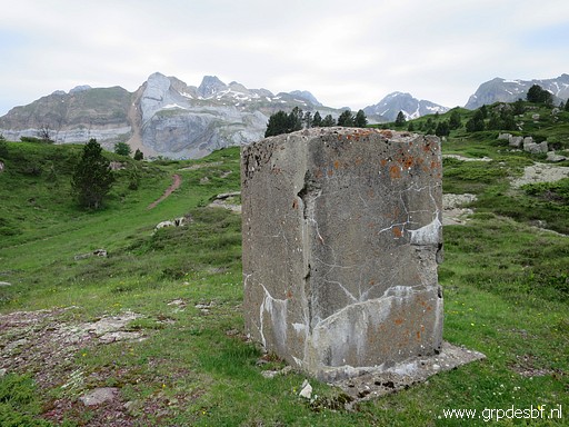 | Bm298 - submarker, in the far distance the rockwall of the original bm297 (click photo to enlarge) |
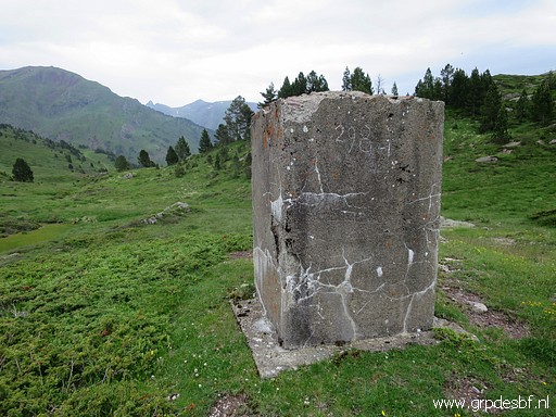 | Bm298 - submarker (click photo to enlarge) |
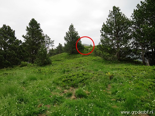 | Climbing up the hillridge to bm299 (click photo to enlarge) |
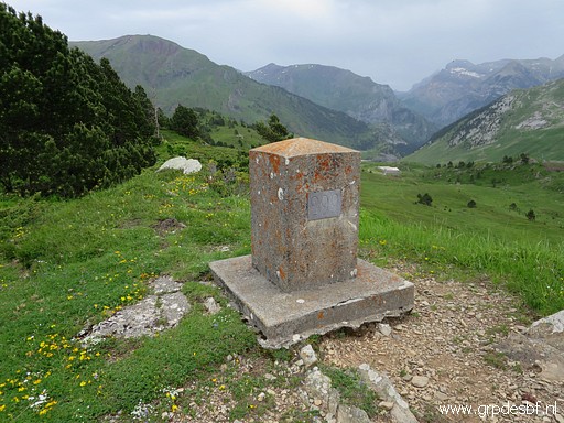 | Bm299 (click photo to enlarge) |
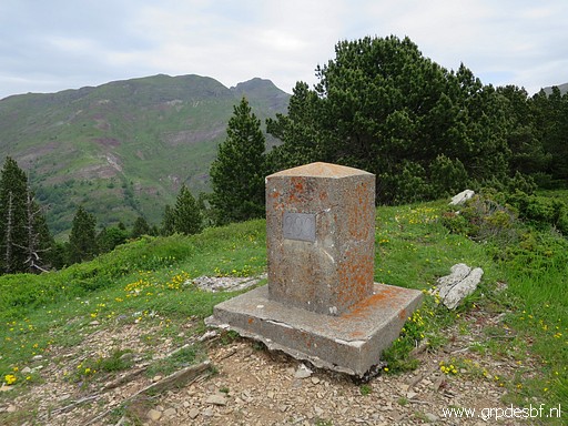 | Bm299 (click photo to enlarge) |
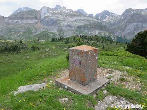 | Bm299, in the far distance the rockwall of the original bm297 (click photo to enlarge) |
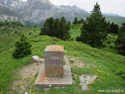 | Bm299 (click photo to enlarge) |
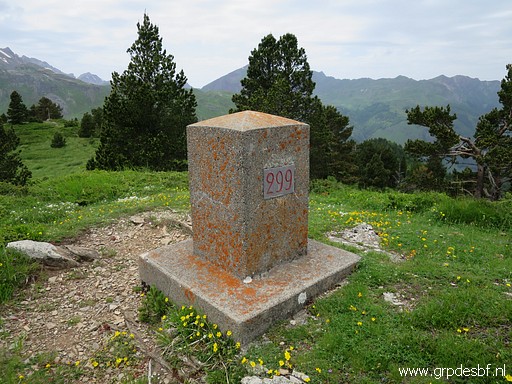 | Bm299 (click photo to enlarge) |
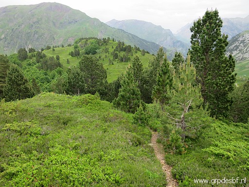 | Then following the hillridge to the E (click photo to enlarge) |
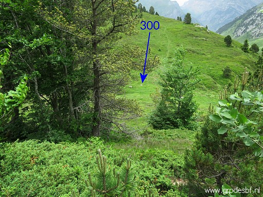 | Bm300 is on a sort of pass on that hillridge. (click photo to enlarge) |
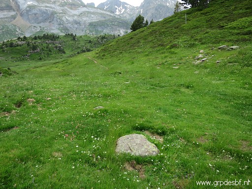 | Bm300 (click photo to enlarge) |
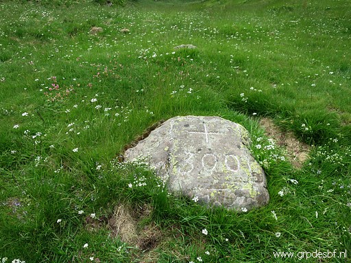 | Bm300 (click photo to enlarge) |
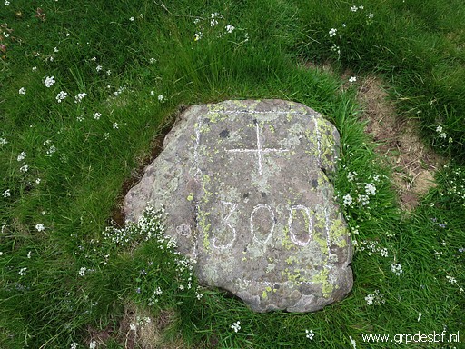 | Bm300 (click photo to enlarge) |
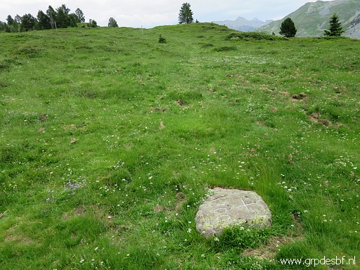 | Bm300 (click photo to enlarge) |
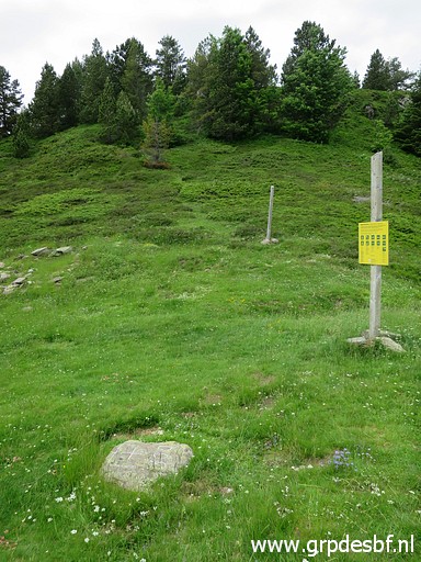 | Bm300. looking back to the hillridge where I came from (click photo to enlarge) |
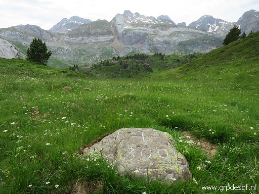 | Bm300, in the far distance the rockwall of the original bm297 (click photo to enlarge) |
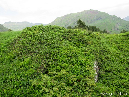 | Bm301 is almost covered under the green (click photo to enlarge) |
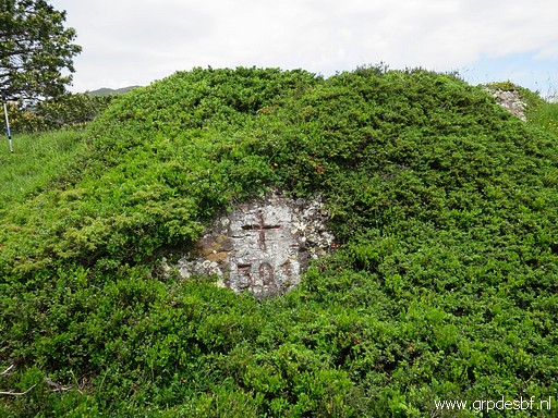 | Bm301 (click photo to enlarge) |
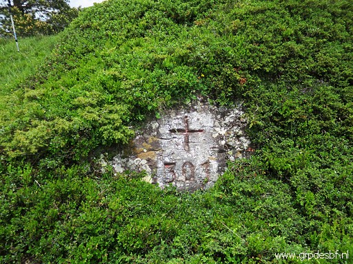 | Bm301 (click photo to enlarge) |
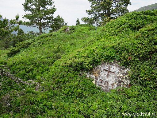 | Bm301 (click photo to enlarge) |
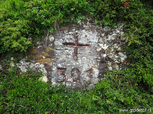 | Bm301 (click photo to enlarge) |
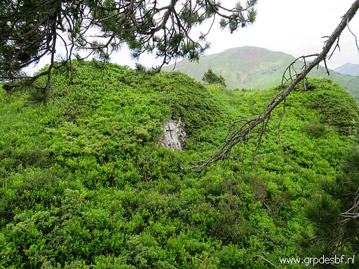 | Bm301 (click photo to enlarge) |
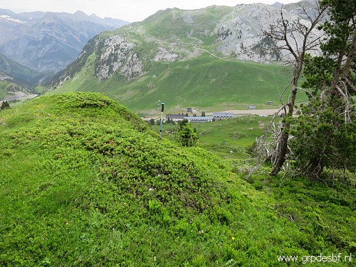 | The spot of bm301 indicated with my walking stick. View from the trail. You can't see bm301 from the trail. (click photo to enlarge) |
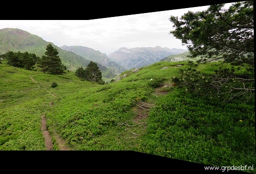 | Bm302 needs a little detour to the right from the trail and well at this point (click photo to enlarge) |
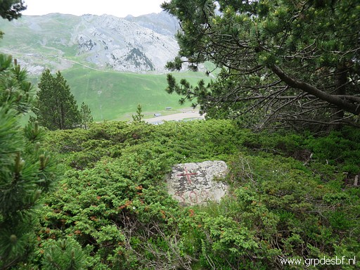 | Bm302 (click photo to enlarge) |
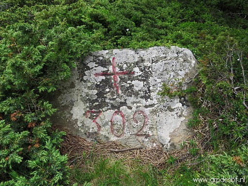 | Bm302 (click photo to enlarge) |
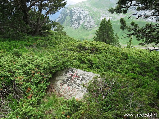 | Bm302 (click photo to enlarge) |
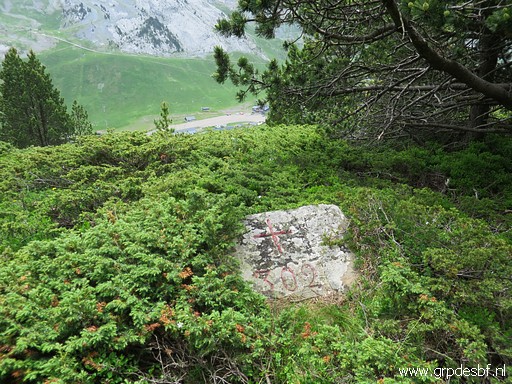 | Bm302 (click photo to enlarge) |
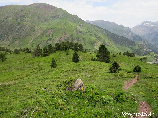 | The hillridge flattens (click photo to enlarge) |
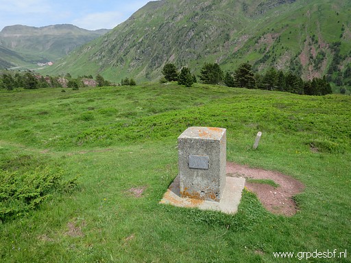 | and I arrive easily at bm303. (click photo to enlarge) |
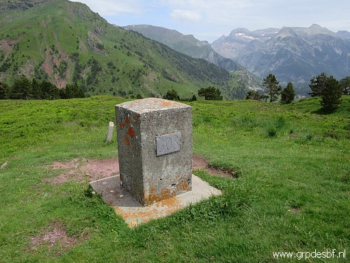 | Bm303 (click photo to enlarge) |
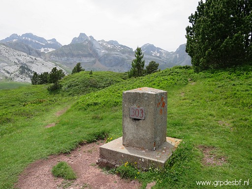 | Bm303 (click photo to enlarge) |
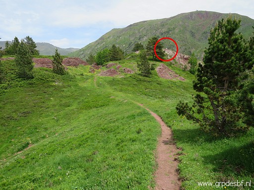 | Continuing to bm304 (click photo to enlarge) |
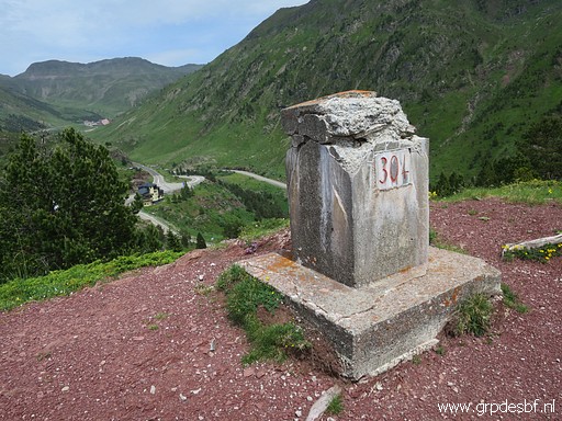 | Bm304 (click photo to enlarge) |
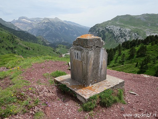 | Bm304 (click photo to enlarge) |
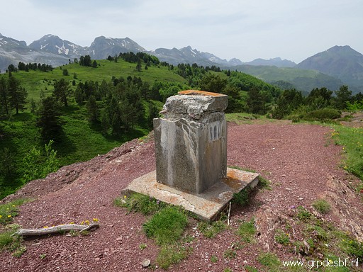 | Bm304 (click photo to enlarge) |
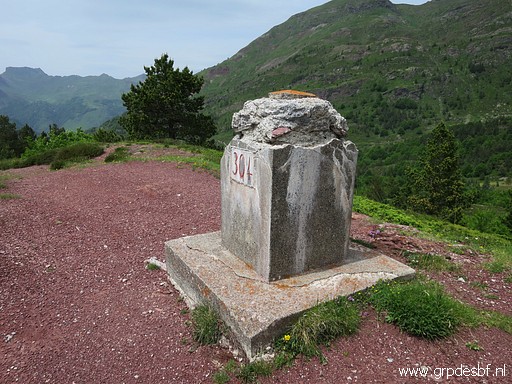 | Bm304 (click photo to enlarge) |
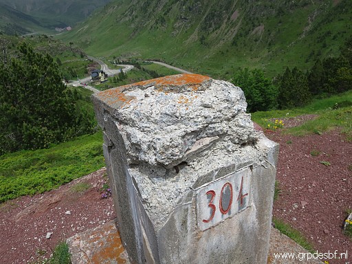 | Bm304 (click photo to enlarge) |
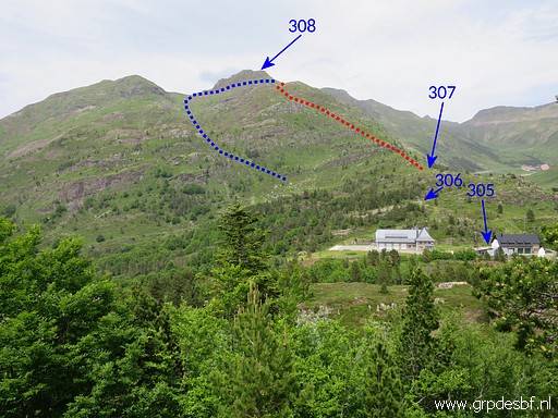 | From bm304 this view towards Col de Somport with an indication of the two possible routes to bm308. I followed the red one yesterday and the blue one on 7-9-2009 and on 27-8-2012 (descending by the red route) (click photo to enlarge) |
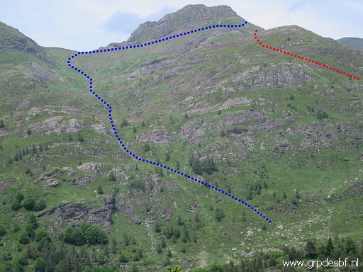 | Zoom-in Which one is the best? In terms of distance combined with effort, there is not much difference. But the blue one is easier in terms of wayfinding. (click photo to enlarge) |
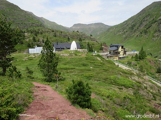 | Descending to Col du Somport (click photo to enlarge) |
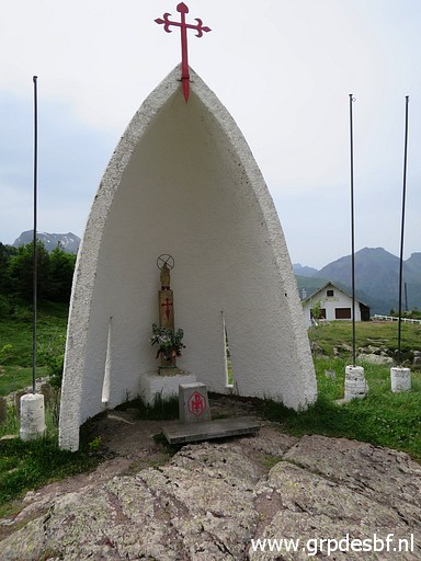 | with this little chapel. (click photo to enlarge) |
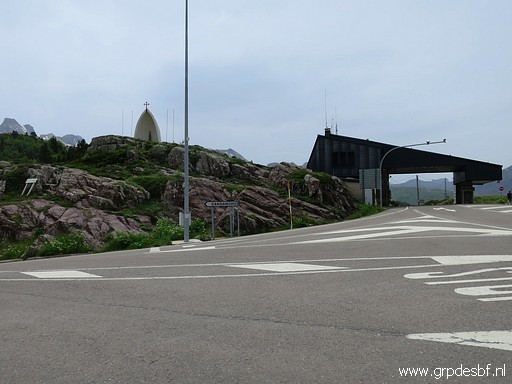 | Arriving at Col du Somport with the old customs building. (click photo to enlarge) |
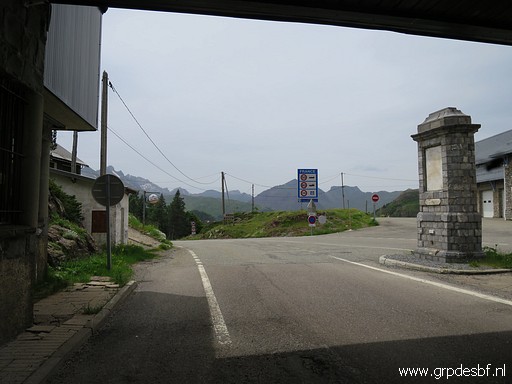 | Bm305bis in the middle of the road. (click photo to enlarge) |
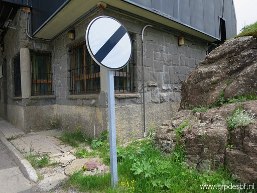
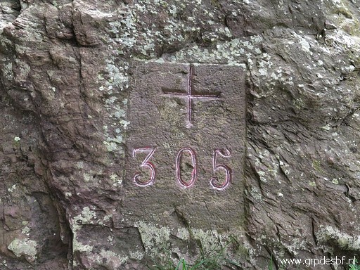
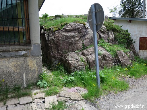 | Bm305 (click photo to enlarge) |
 | Bm305 (click photo to enlarge) |
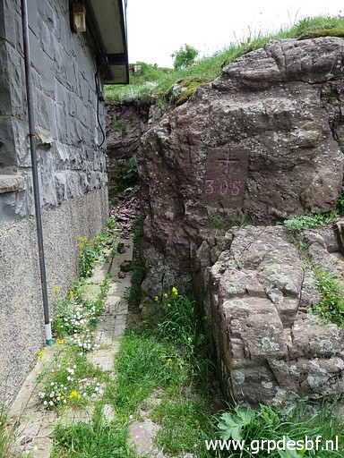
 | Bm305 (click photo to enlarge) |
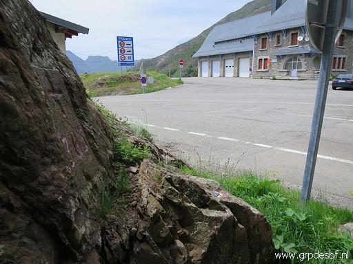
 | Bm305 (click photo to enlarge) |
 | Bm305 (click photo to enlarge) |
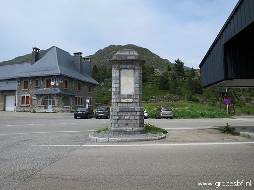 | Bm305bis, not mentioned in the Treaty. (click photo to enlarge) |
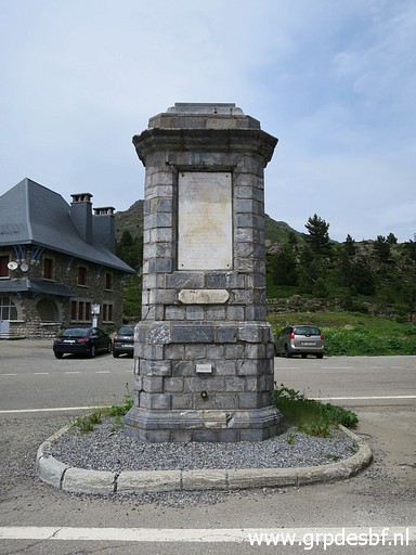 | Bm305bis (click photo to enlarge) |
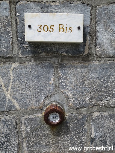 | Bm305bis (click photo to enlarge) |
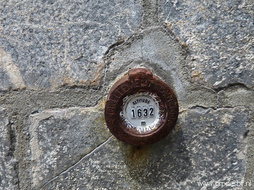 | Bm305bis, elevation indicated (click photo to enlarge) |
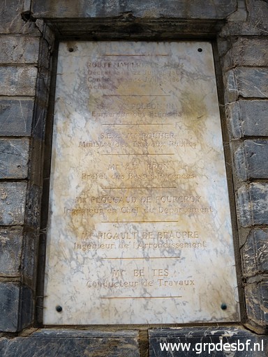 | The plaque on bm305bis (click photo to enlarge) |
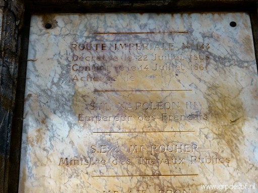 | where we can read that it was erected to commemorate the building of the "route impériale 134". But there is no date engraved at the 'Achevée'-line. On this webpage we read "Passage du Col du Somport : construit de 1863 côté français (totalement modernisé en 1885), il ouvre en 1877 côté espagnol". So I suppose that it was erected in 1863 with the little '305bis' plaque attached in later years. (click photo to enlarge) |
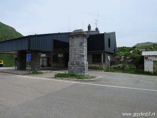 | Bm305bis and 305 (click photo to enlarge) |
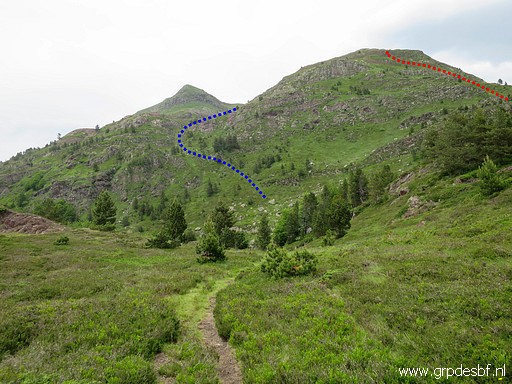 | On the other side of the Col a little stroll to have a better look on the two access-routes to bm308. (click photo to enlarge) |
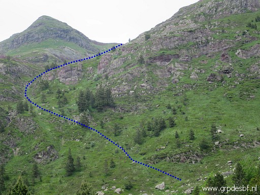 | Zoom-in to the blue route, I think the better one (more obvious in its wayfinding). (click photo to enlarge) |
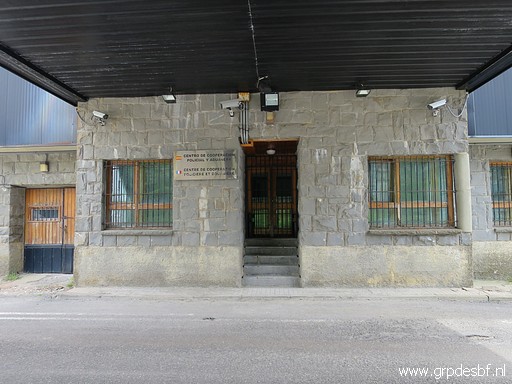 | Back to the Col with the closed customs building. (click photo to enlarge) |
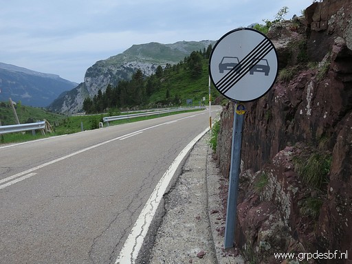 | I walk back to the parking at Candanchu (click photo to enlarge) |
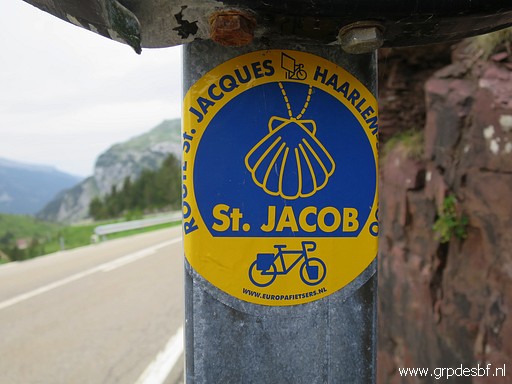 | and spot this Dutch sticker of a bycicle route to Santiago de Compostella. (click photo to enlarge) |
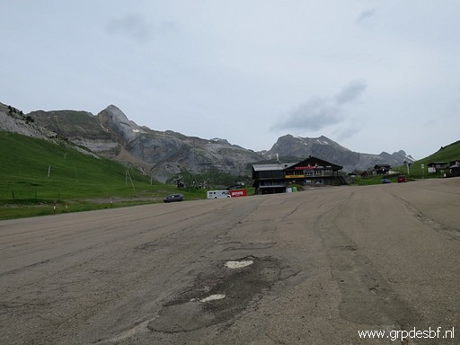 | Back at the parking. (click photo to enlarge) |
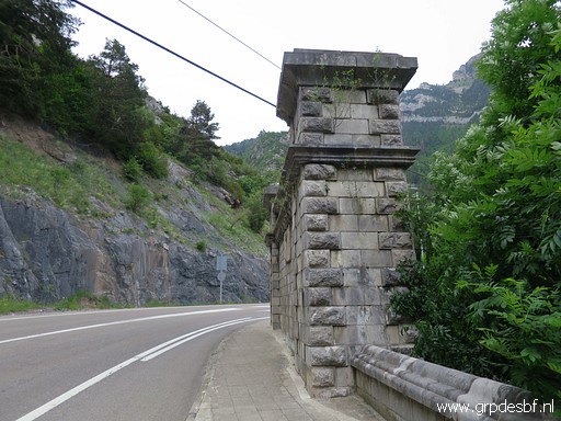 | I
drive to Canfranc-Estación to buy cigars and pastis and make some
pictures of the southern entrance of the derelict railway tunnel
underneath Col du Somport. (click photo to enlarge) |
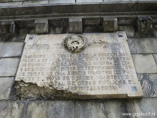 | They liked those monumental plaques in the old days. (click photo to enlarge) |
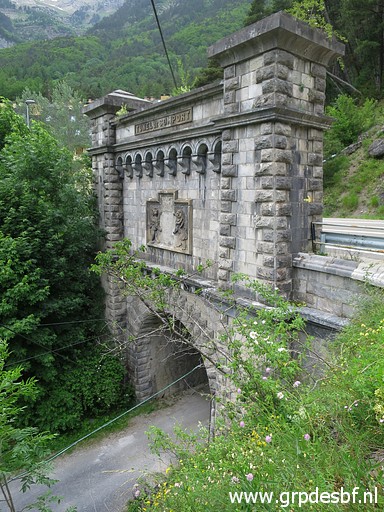 | The entrance from above. (click photo to enlarge) |
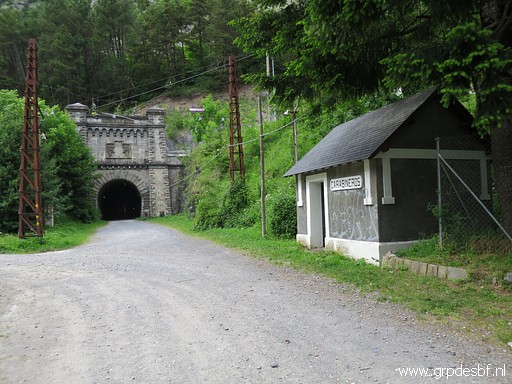 | The railway-tracks have disappeared. (click photo to enlarge) |
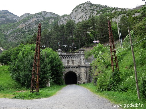 | The railway-connection stopped in 1970 after a derailment on the French side. (click photo to enlarge) |
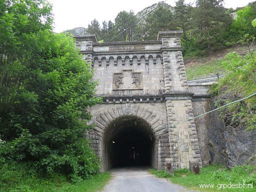 | Some (click photo to enlarge) |
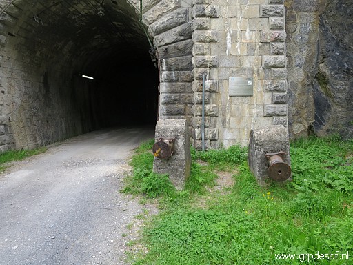 | more pictures (click photo to enlarge) |
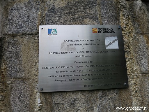 | and this plaque expressing the intention to reopen the railway connection. (click photo to enlarge) |
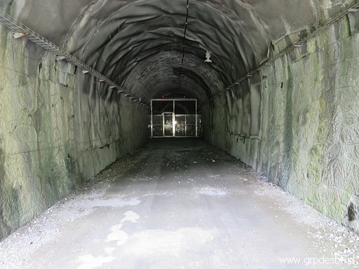 | A look inside the tunnel (click photo to enlarge) |
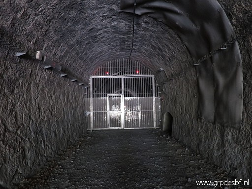 | with a fenced gate, blocking further access. (click photo to enlarge) |
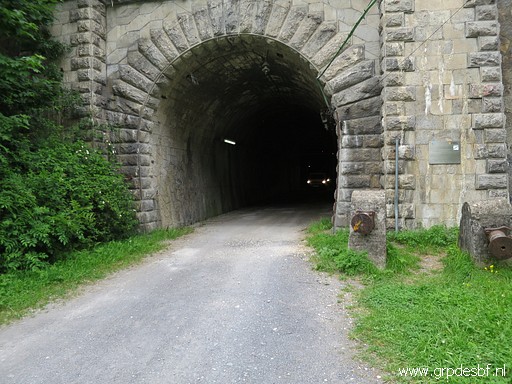 | Then - to my surprise - a few cars arrive from within the tunnel. But understandable because this old tunnel serves as a service-tunnel for the new motorway-tunnel. Enough for today. I return to the camping. (click photo to enlarge) |
 previous
trip
next
trip previous
trip
next
trip  |
|
