|
The
bordermarkers of the Pyrenees : all my trips
 |
|
| -
saturday 11 september
2021 - Corinne's last bordermarker: bm311 |
 |
 |
Summary:
part of a series of 11 daytrips in september 2021 in the western half
of the Pyrenees. This is day 4. Today: I am invited to join Corinne Gourgeonnet at her visit to her last bordermarker, bm311. Weather: mostly cloudy |
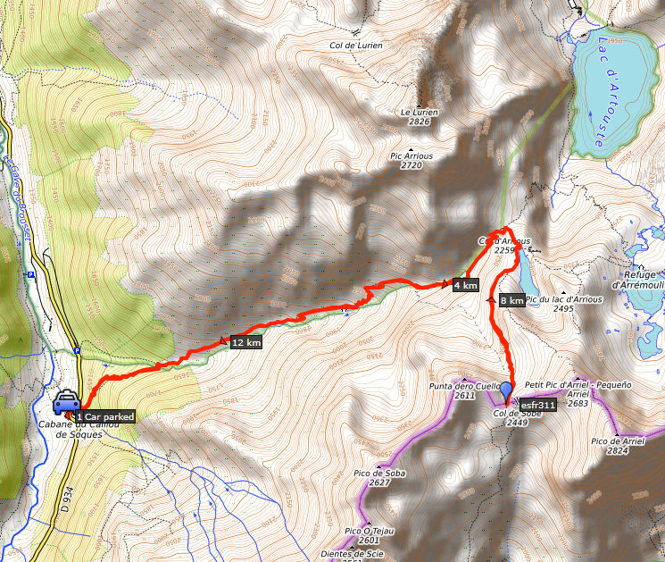 track-20210911.kml
(click to open this trip in Google Earth or copy link to Google Maps; click right on this link to download gpx-version). The gps-track has not been manually corrected which explains the inaccuracy and misalignment at some points. For cartographic backgrounds: see the cartography-page Gps-waypoints of all bordermarkers (most recent version): kml: esfr-bordermarkers-all-waypoints.kml gpx: esfr-bordermarkers-all-waypoints.gpx (with elevation added by gpsvisualizer.com) |
|
 |
According to Garmin
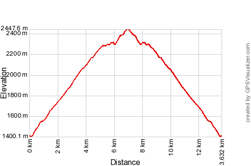
Basecamp (uncorrected track with elevation added by Gpsvisualizer.com): Distance: 13,6km Max-height: 2448m Min-height: 1400m Elevation: +1259m -1259m Total elevation: 2518m Start 9:29 Finish 17:06 Total time: 7:38 |
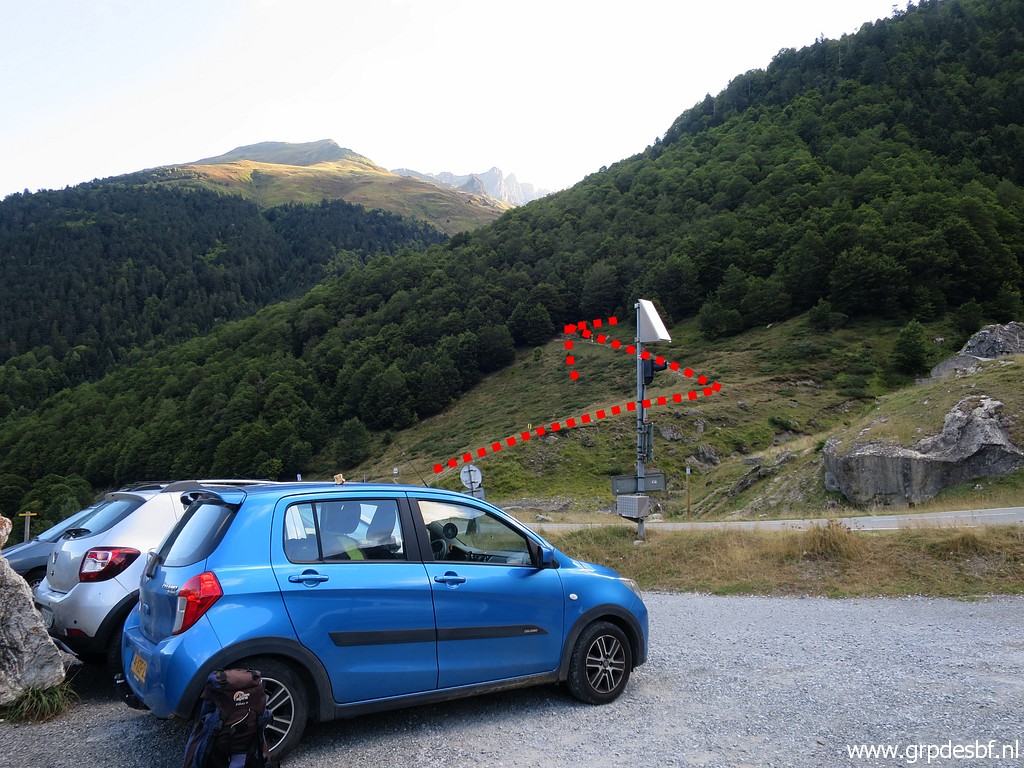 | In the very early morning I have packed my tent on the camping in Arette and drive to (close to) Col du Pourtalet. I have to climb to Col d'Arrious and the nearby lake of Lac d'Arrious. That's where I will meet Corinne to do together the last 1,5 km to bm311. (click photo to enlarge) |
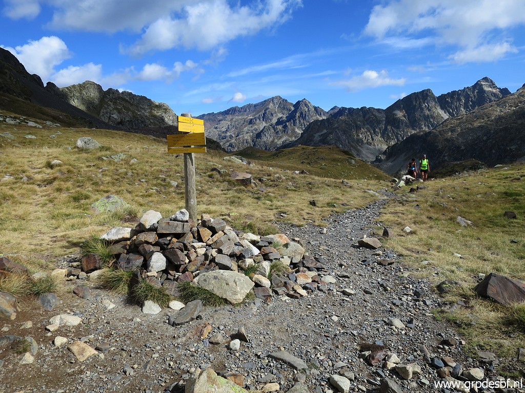
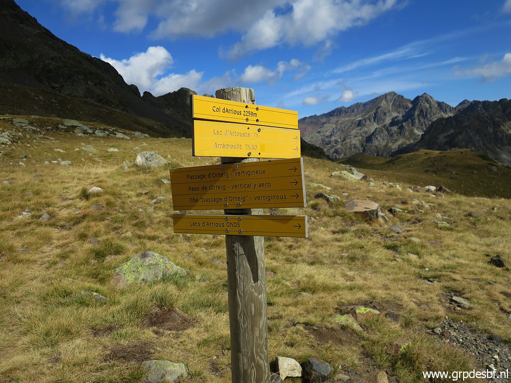
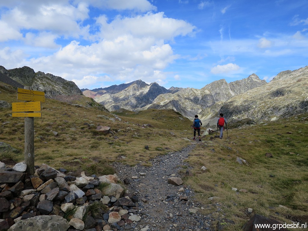
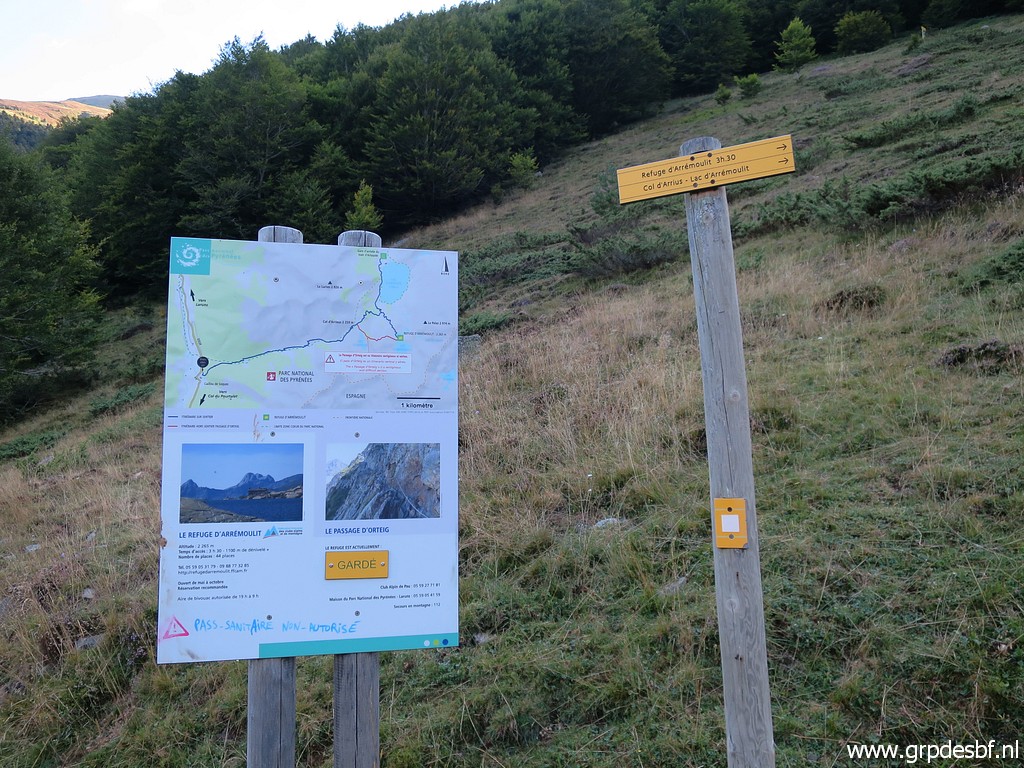 | Enough waysigns (click photo to enlarge) |
 | and maps available. (click photo to enlarge) |
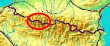
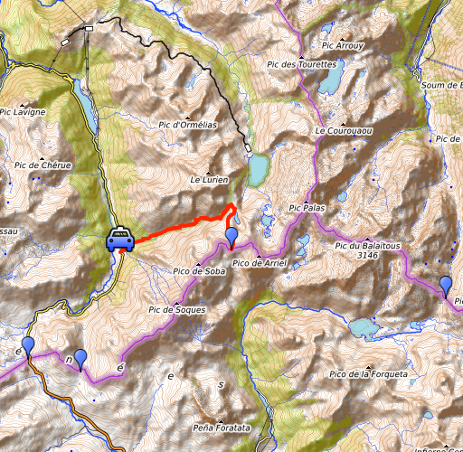
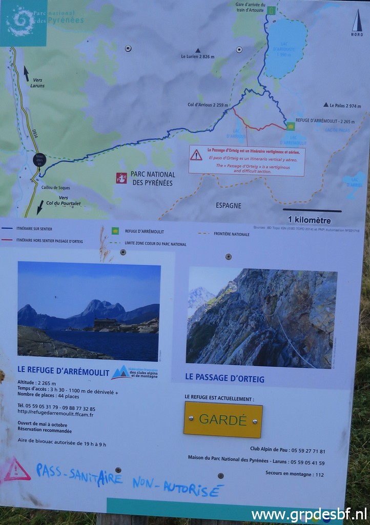
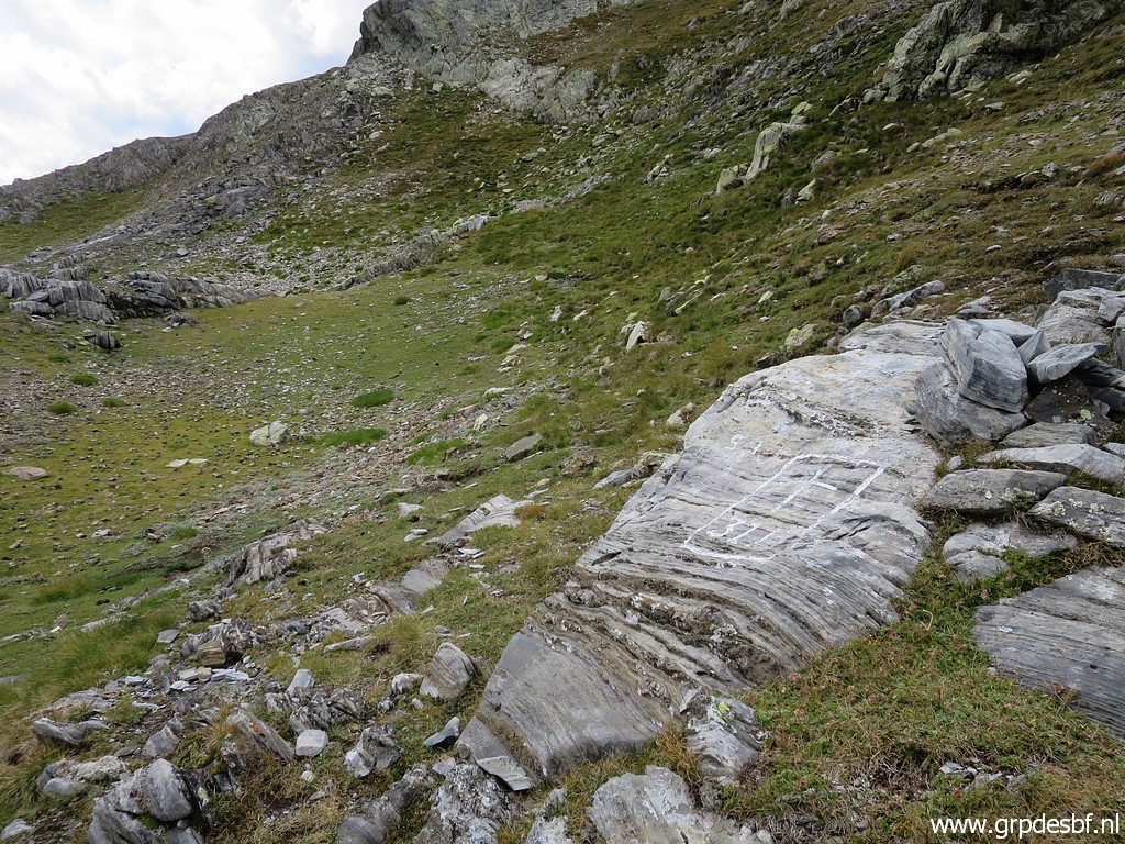
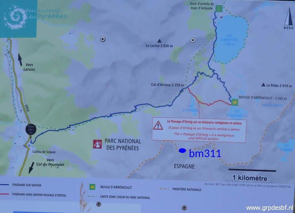 | This zoom-in shows the route and the position of bm311. (click photo to enlarge) |
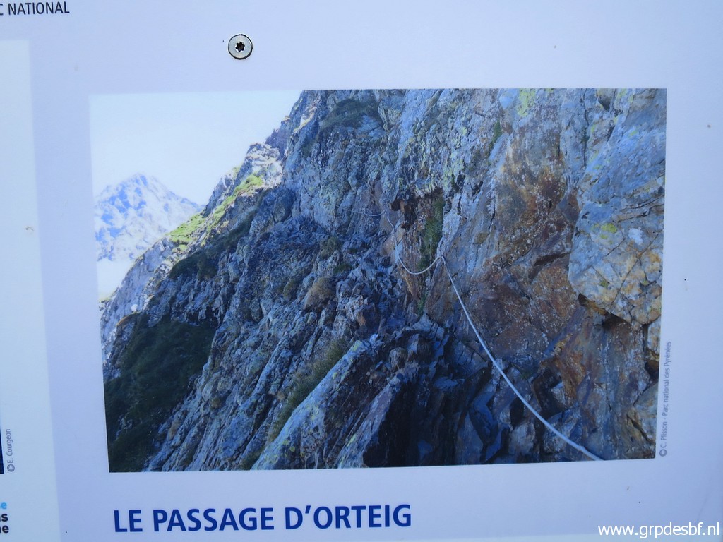 | The route to Col d'Arrious is part of my GRPdesBF-trail from coast to coast along the bordermarkers. From Col d'Arrious, there is an alternative descent to Refuge d'Arrémoulit: the famous Passage d'Orteig. I consider it as too risky for my target group: walkers with a full backup who follow the GRPdesBF in a multiday trip. (click photo to enlarge) |
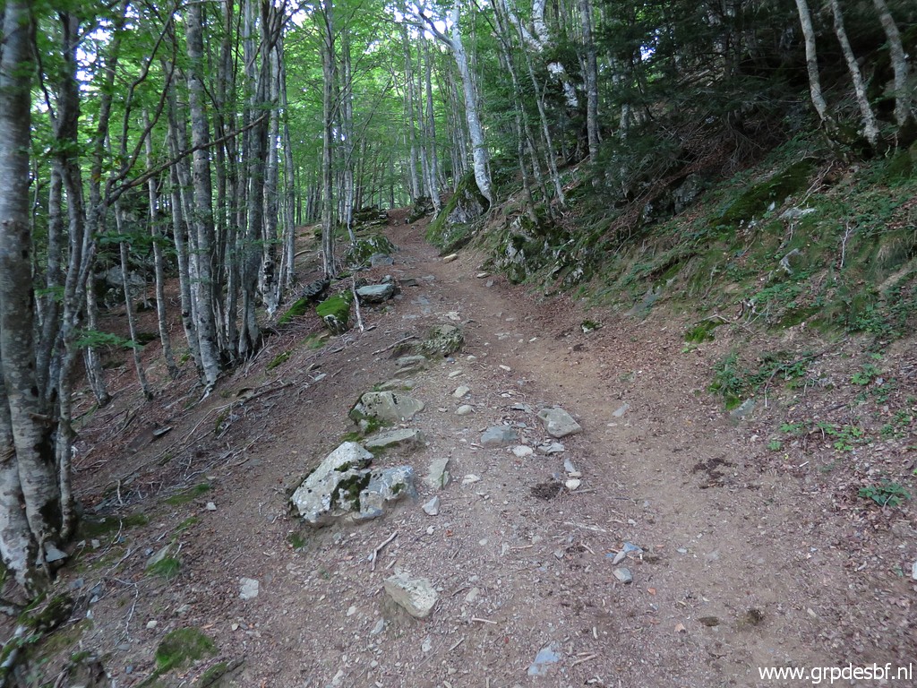 | Th first part of the climb is through the forest. (click photo to enlarge) |
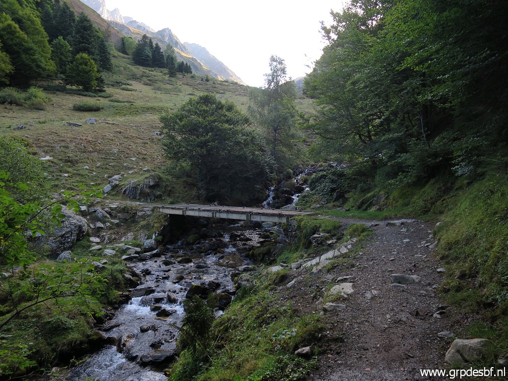 | Leaving the forest and (click photo to enlarge) |
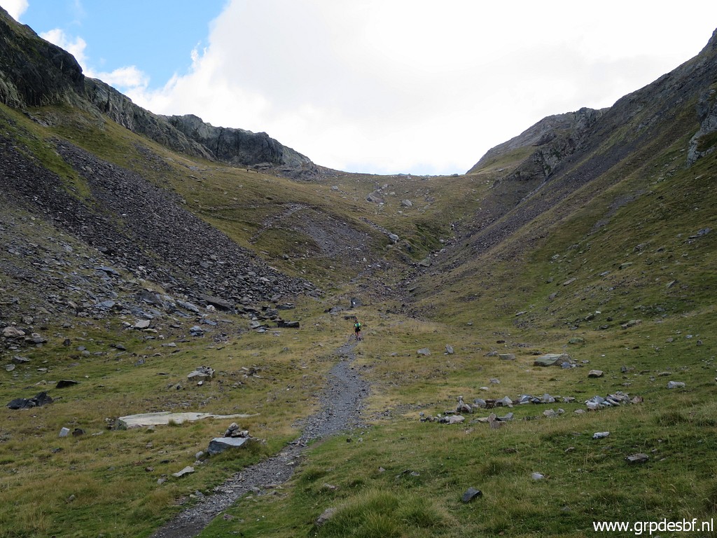
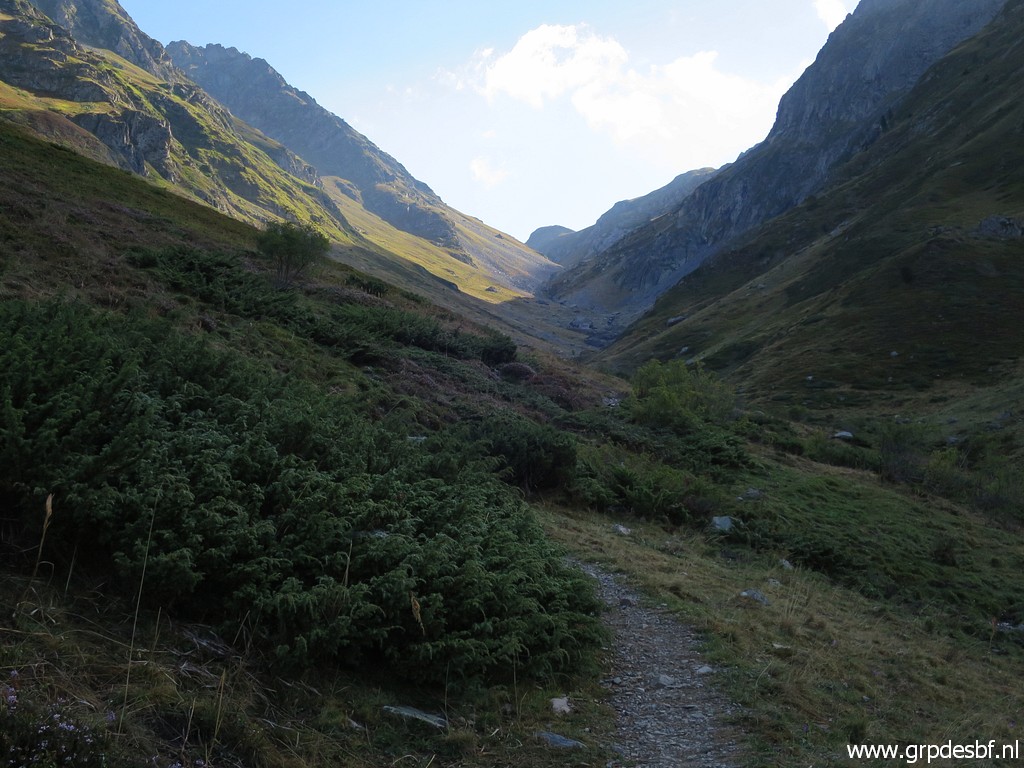 | then a long and steady climb up the valley on a good path. (click photo to enlarge) |
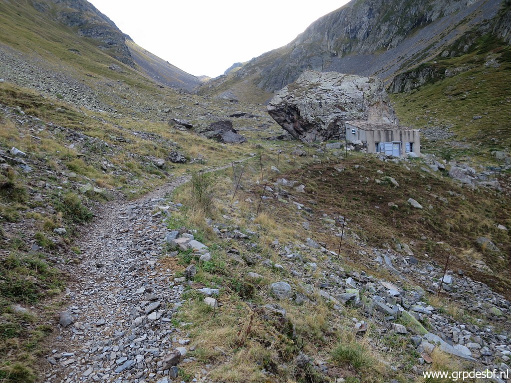 | Passing a shepherd's cabin (click photo to enlarge) |
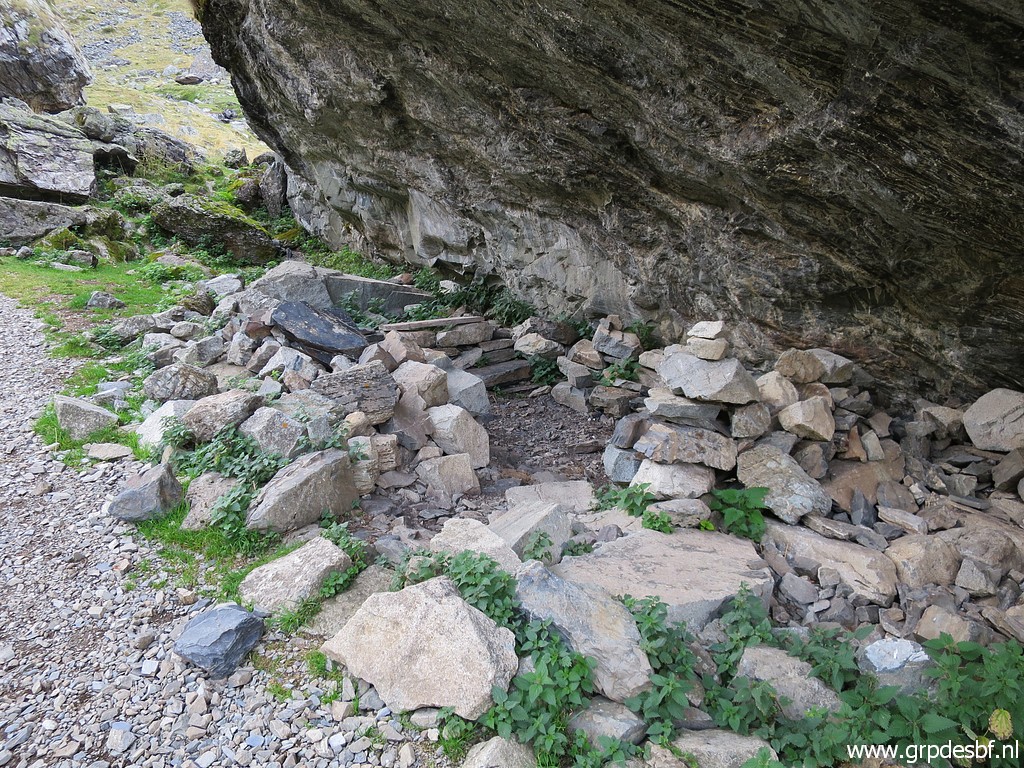 | with some shelter underneath the rock. (click photo to enlarge) |
 | A view back. (click photo to enlarge) |
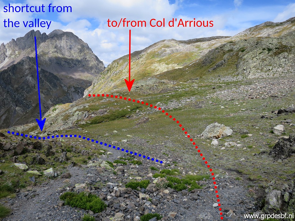
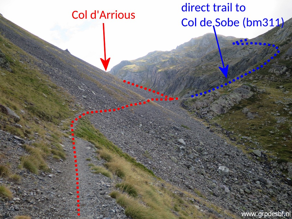 | My destination is Col d'Arrious but there is also a direct tral to Col de Sobe where bm311 is. I will show better where that branch starts on my way back. (click photo to enlarge) |
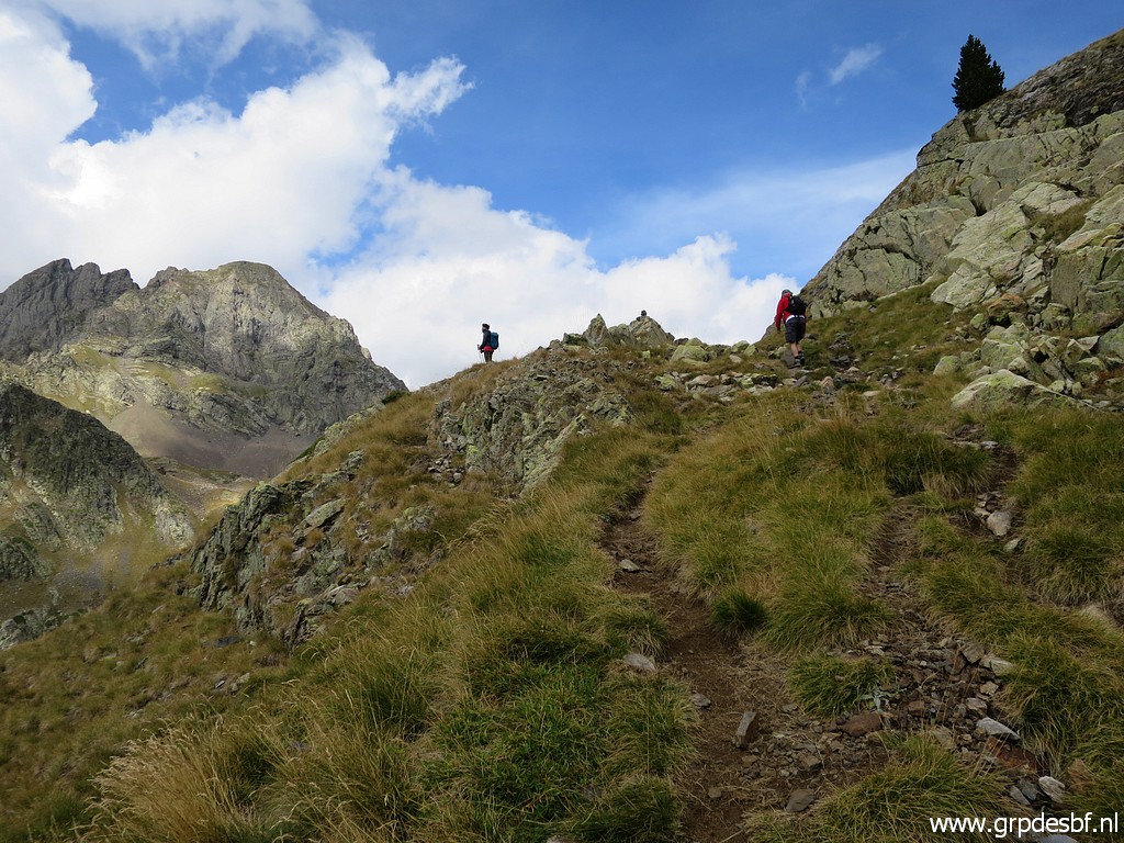
 | Approaching Col d'Arrious. (click photo to enlarge) |
 | Having arrived at (click photo to enlarge) |
 | Col d'Arrious. (click photo to enlarge) |
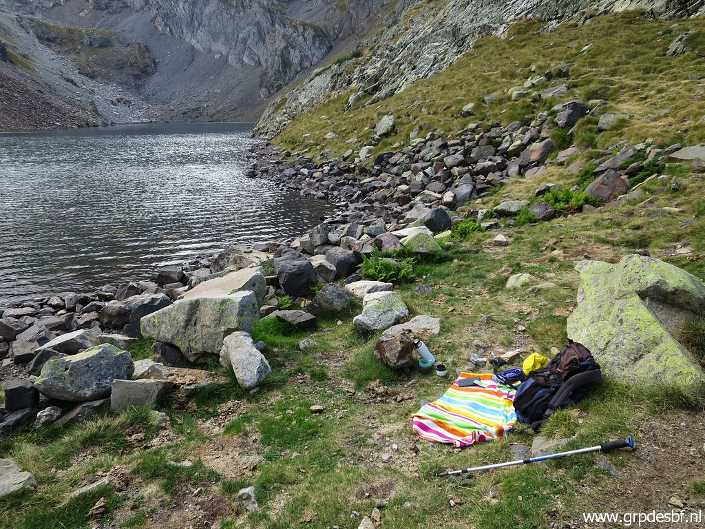
 | About 150m to the SE is Lac d'Arrious. It took me 2:15 hours to get here. (click photo to enlarge) |
 | That where I wait for Corinne. She will arrive at the scene with a touristic train to Lac d’Artouste which leaves 2 hours of climbing to bm311. After 6 years, she is about to complete her quest to find and photograph each and every bordermarker along the French-Spanish border. (click photo to enlarge) |
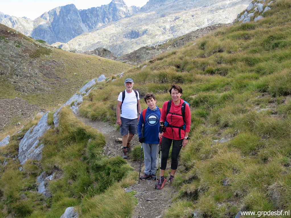 | She is however not alone: of course she brings her son Arthur (see this link). But to my big surprise there is also Michel Molia (see this link)), the famous discoverer of the 408III-IV-submarkers. (click photo to enlarge) |
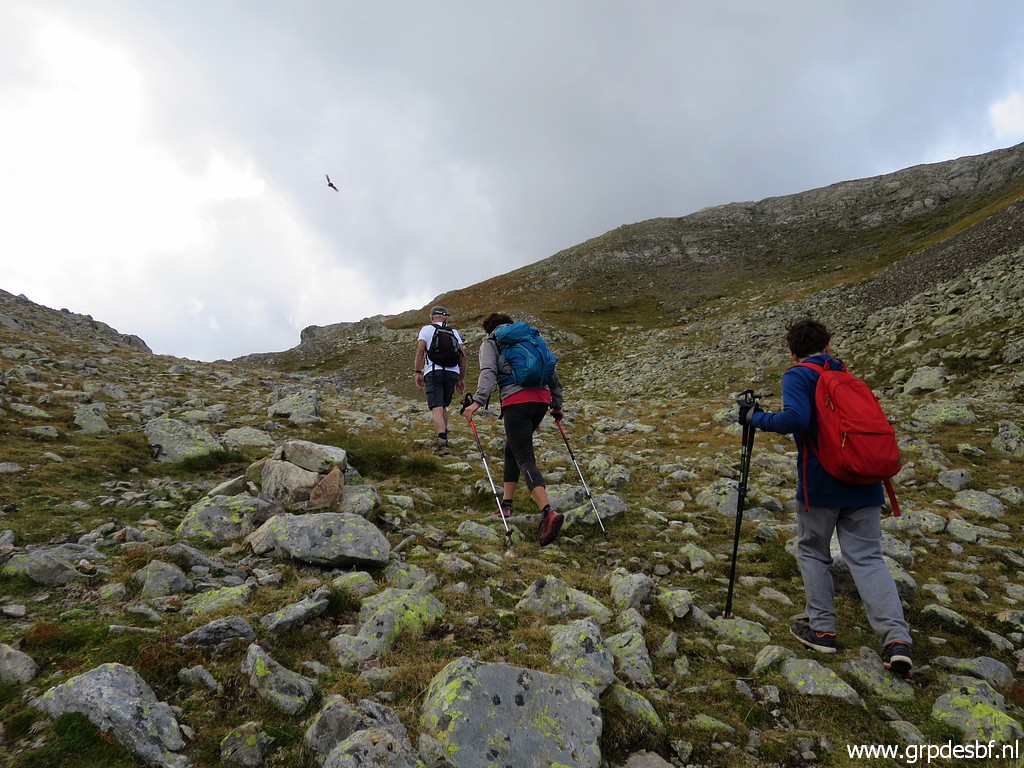 | Together we walk the last 1,5km to (click photo to enlarge) |
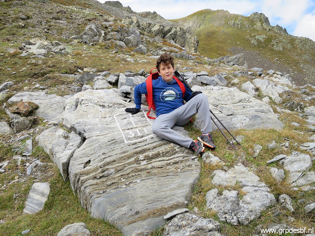 | bm311. (click photo to enlarge) |
 | Mother and son posing (click photo to enlarge) |
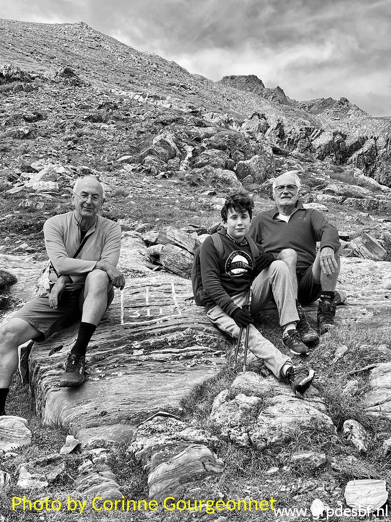 |
and then the three gentlemen cq musqueteers. |
 | And this very last bordermarker deserves a celebration (click photo to enlarge) |
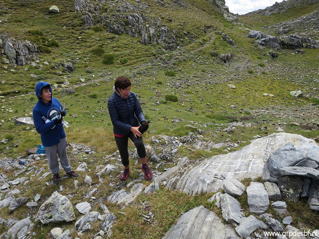 | with a bottle of (click photo to enlarge) |
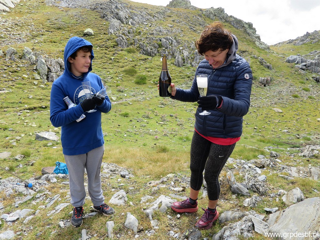 | champagne! Corinne was moved and that is understandable. She has enjoyed so much all her adventures along the border, mostly done as solo-trips which has been an experience in itself. And now it is all finished, as if you have reached the destination of a long, long pilgrimage… (click photo to enlarge) |
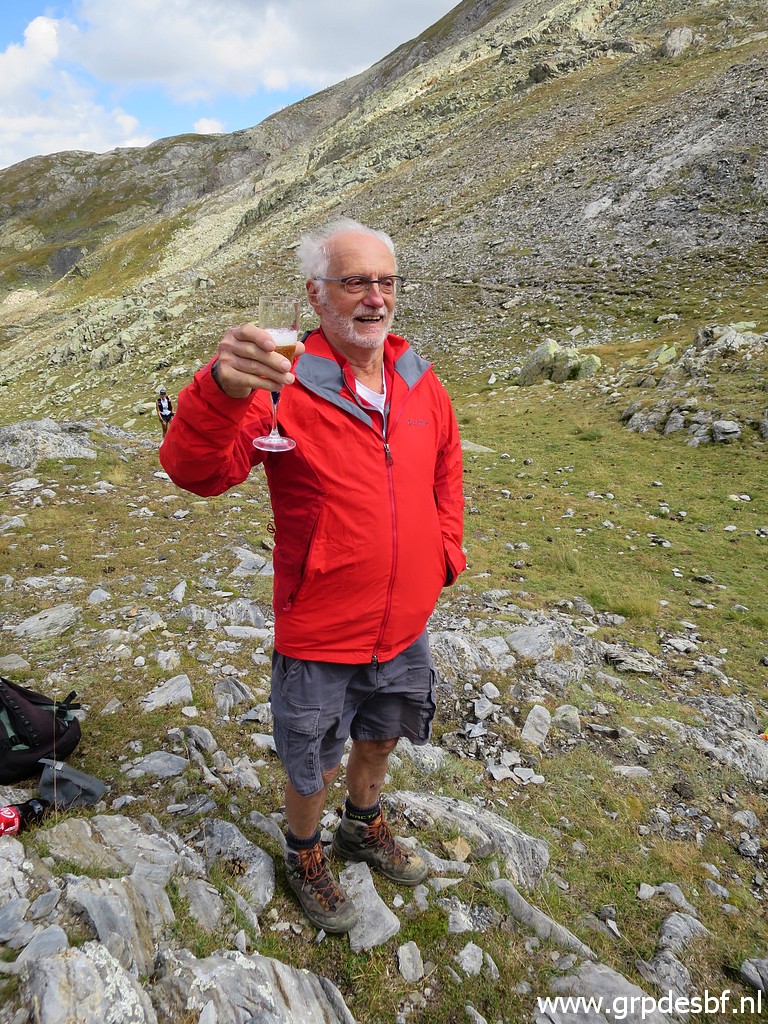 | For
Michel, it was also a final trip. He is eighty years old and it’s been
enough for mountain walking. In a way, he celebrated his own farewell
trip with the same champagne. (click photo to enlarge) |
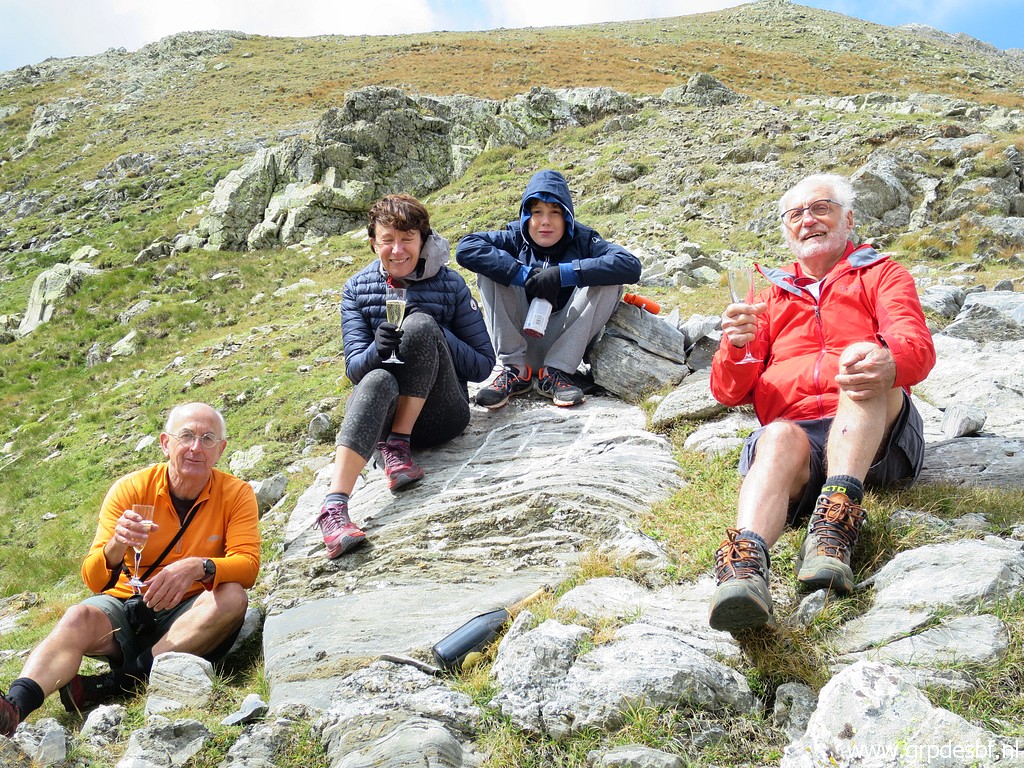 | (click photo to enlarge) By completing all esfr-bordermarkers, Corinne enters the Gallery of Honor of men and women who have done them all. She is the third woman who has accomplished this and the first one to do them solo. The list is now (as far as I know): 1. Javier and María-Jesús Sancho-Esnaola 2. Charles and Josette Darrieu 3. Jacques Koleck 4. Myself 5. Michel Molia 6. Alain Gillodes 7. Corinne Gourgeonnet |
 | My last pictures of (click photo to enlarge) |
 | bm311. (click photo to enlarge) |
 | And then we return. This is the bifork or junction of the 2 routes to bm311. (click photo to enlarge) |
 | Corinne enjoys silently (click photo to enlarge) |
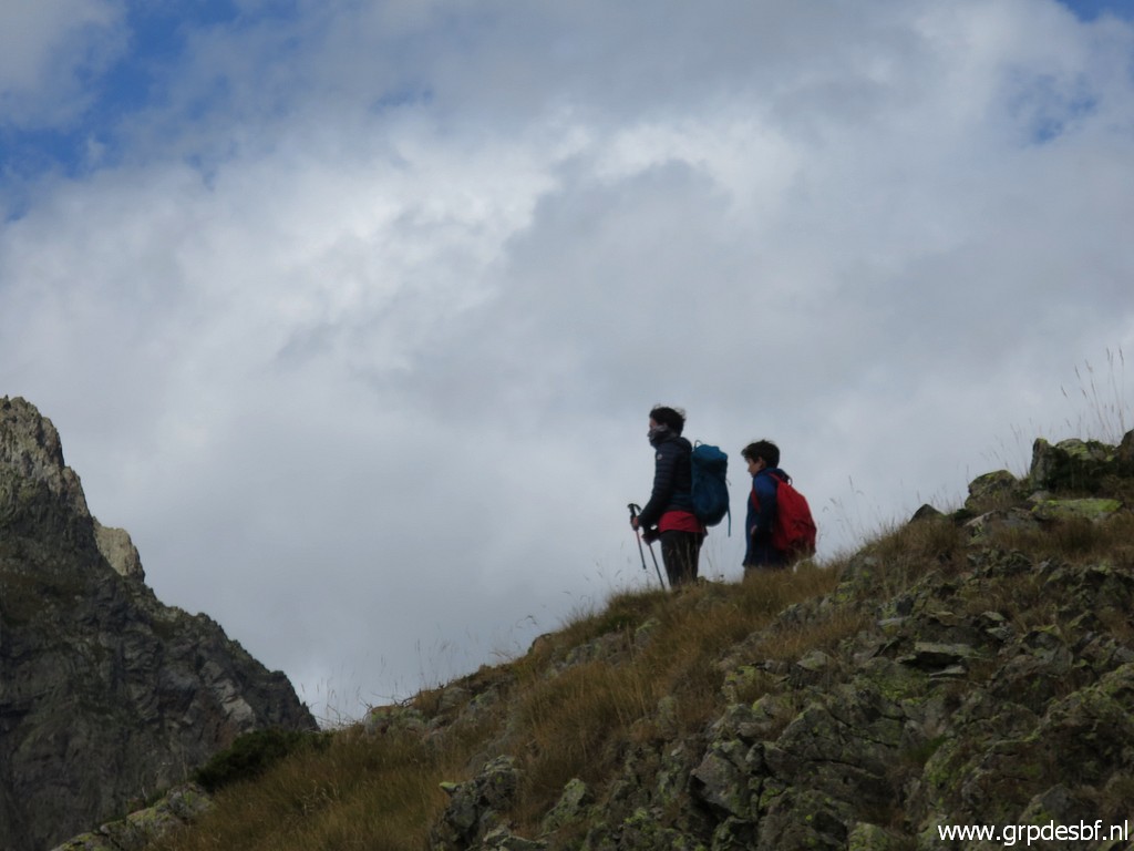 | a last view - together with Arthur - (click photo to enlarge) |
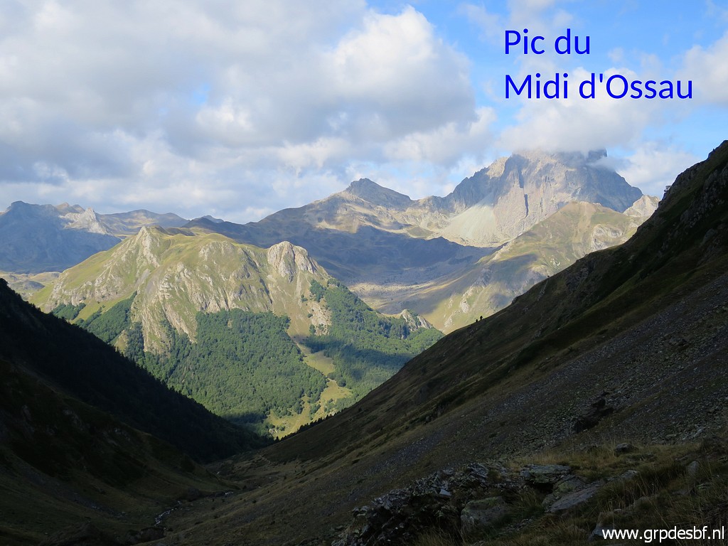
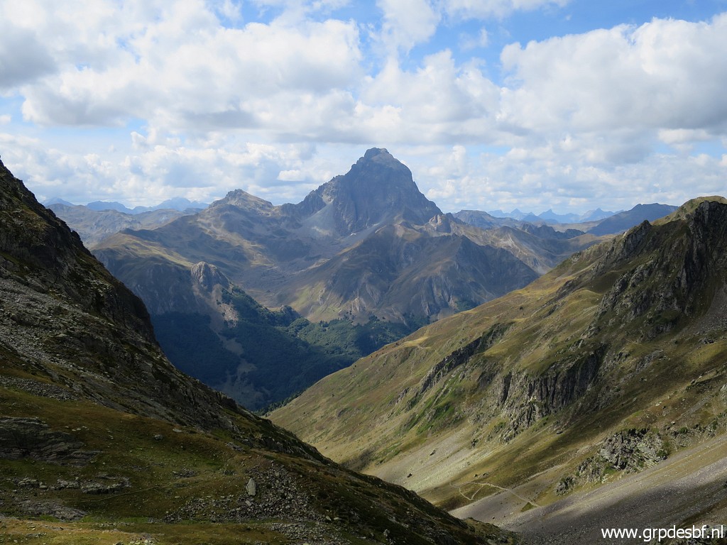 | to the magnificient Pic du Midi d'Ossau. (click photo to enlarge) Was this Corinne’s farewell to the bordermarkers? Well, she confided to me in secret that she thinks of doing a multi-day stretch of my GRPdesBF-trail next year. And Arthur stated casually that he will start ‘doing’ bordermarkers when he has grown up. We will hold him to it. |
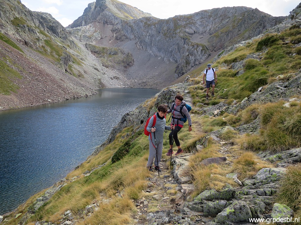 | Passing the Lac d'Arrious (click photo to enlarge) |
 | and at Col d'Arrious we say goodbye. They will descend to Lac d'Artouste and the trainstation (click photo to enlarge) |
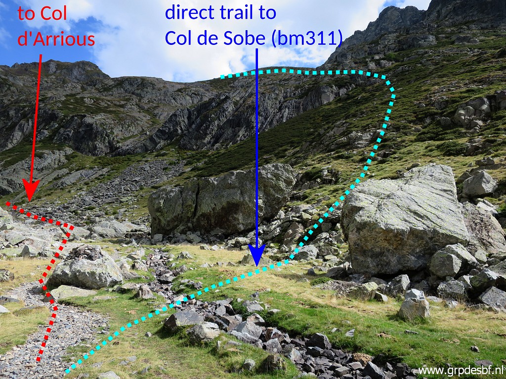 | while I return to my car. (click photo to enlarge) This is the bifork mentioned above. I tried this direct trail on 9-9-2009. |
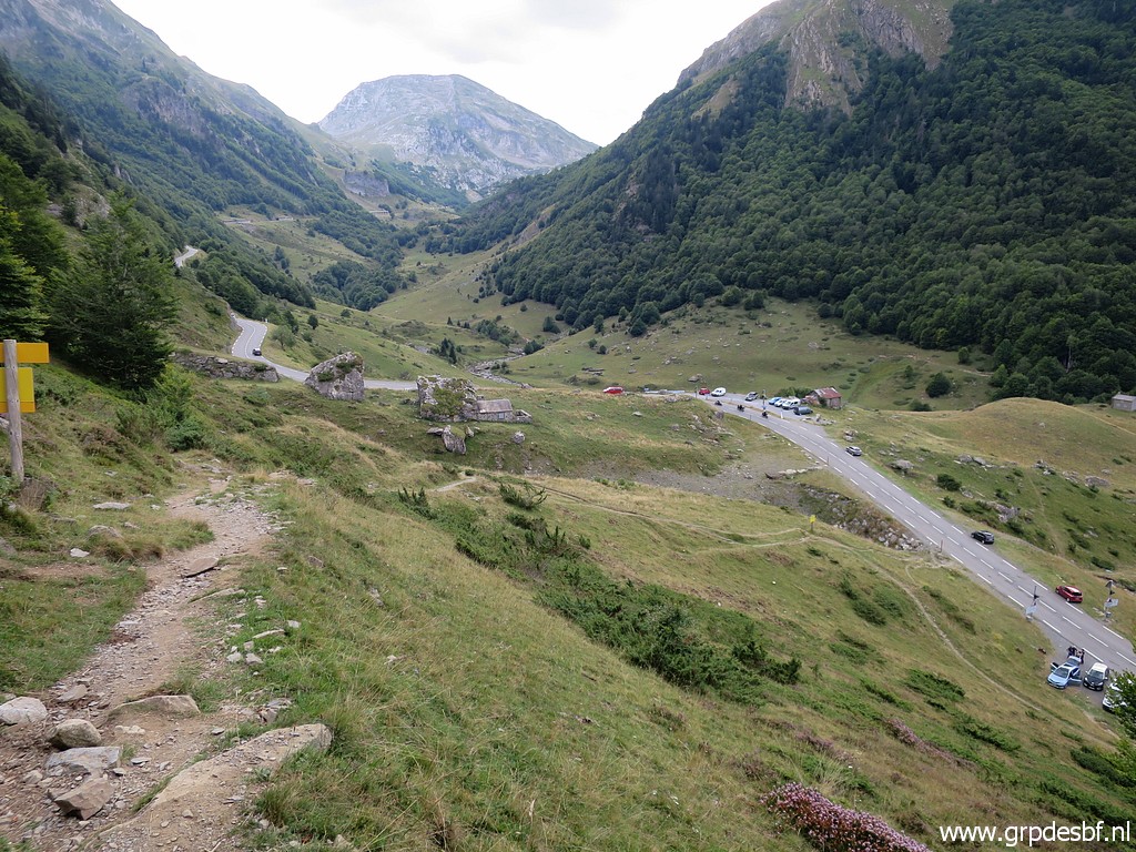 | Back at the road and to my car. (click photo to enlarge) I intended to sleep at a camping in Laruns but I couldn't find an open one. So I drove on, over the foggy Col d'Aubisque and Col de Soulor to |
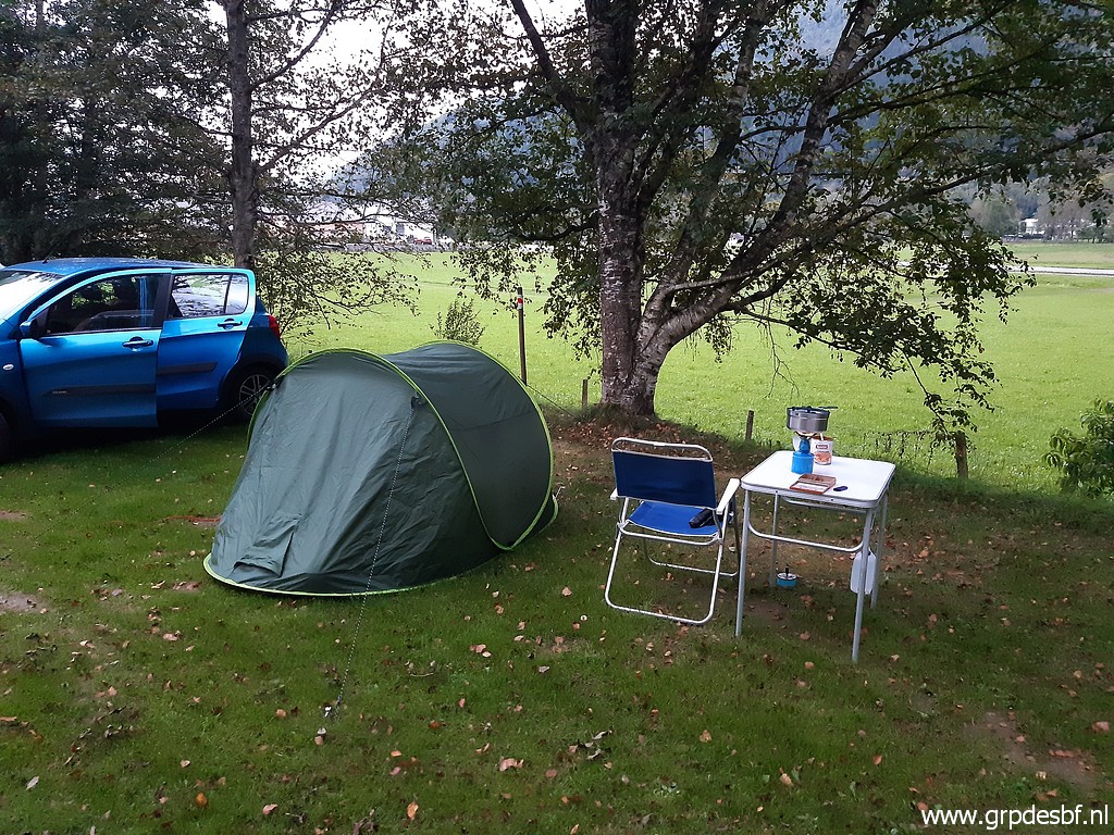 | camping Mialanne in Arrens-Marsous where I arrive at 19:45, almost in the dusk. I'm surprised to see that I was here before on 2-9-2014. It has been a good day and I am still impressed by the impressions of today. I enjoy my Cassoulet out of a tin can. (click photo to enlarge) |