|
The
bordermarkers of the Pyrenees : all my trips
 |
|
| -
thursday 1 september
2022 - Revisiting Hostal de la Muga and bm534-535 |
 |
 |
Summary:
part of a series of 9 daytrips in august & september 2022 across
the Pyrenees. The main goal was to finish my plan to have visited all
bordermarkers at least twice. It was also a kind of sentimental farewell journey, visiting old friends and cherished places. This is daytrip 7. Today: a nostalgic visit to Hostal de la Muga and redoing bm534-535 as a bycatch Weather: sunny, warm Basecamp: camping Verte Rive in St-Laurent-de-Cerdans |
 track-20220901.kml
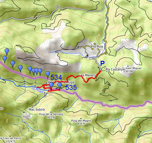
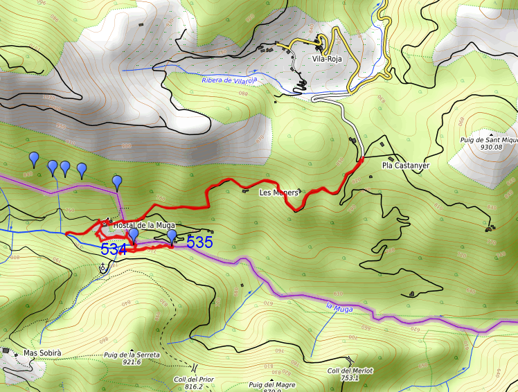
(click to open this trip in Google Earth or copy link to Google Maps; click right on this link to download gpx-version). The gps-track has not been manually corrected which explains the inaccuracy and misalignment at some points. For cartographic backgrounds: see the cartography-page Gps-waypoints of all bordermarkers (most recent version): kml: esfr-bordermarkers-all-waypoints.kml gpx: esfr-bordermarkers-all-waypoints.gpx (with elevation added by gpsvisualizer.com) |
|
 |
According to Garmin
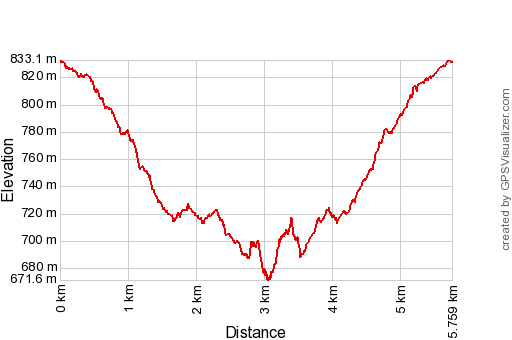
Basecamp (uncorrected track with elevation added by Gpsvisualizer.com): Distance: 5,8 km Max-height: 833m Min-height: 672m Elevation: +351m -352m Total elevation: 703m Start 14:20 Finish 16:39 Total time: 2:19 |
 | From the parking at Pla Castanyer, I descend along the dirtroad. Keeping right at the first bifork. (click photo to enlarge) |
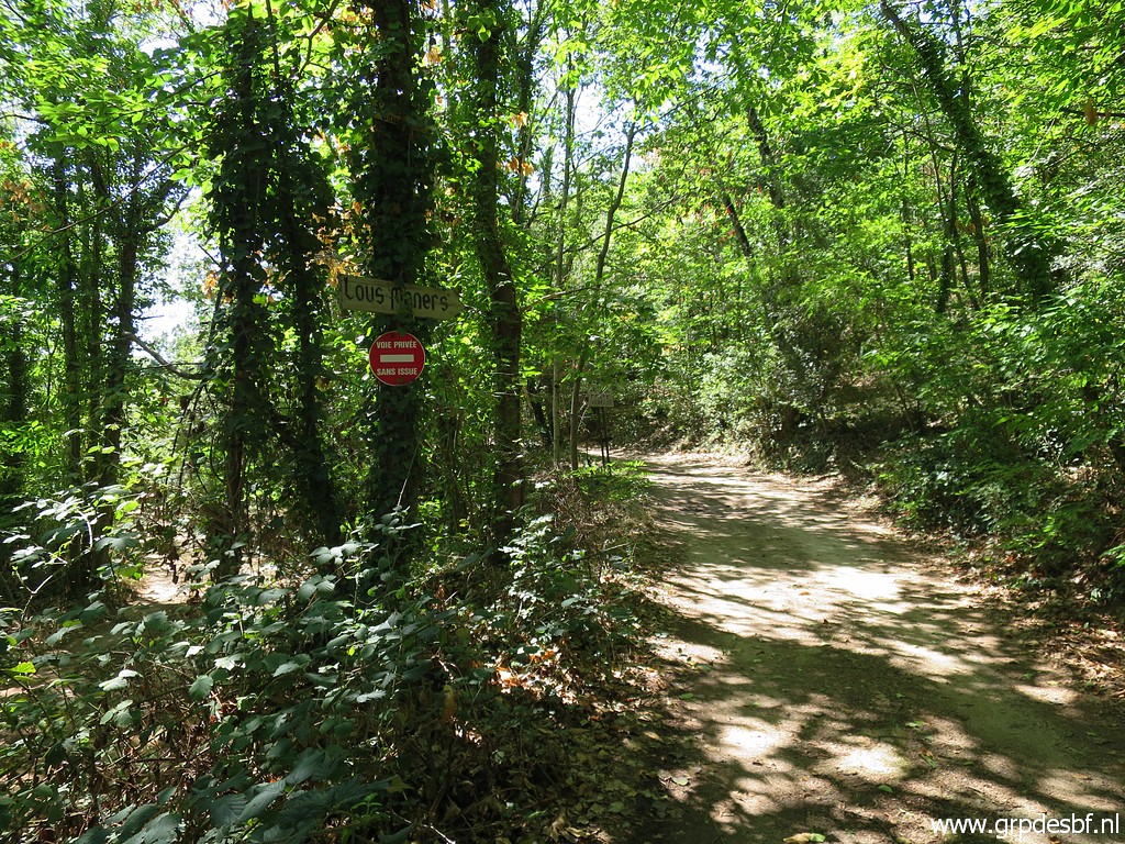 | The sign says 'private dead-end road' but there also hiking waymarks: so nothing forbidden here. (click photo to enlarge) |
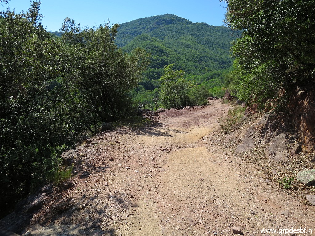 | Descending and passing a house (click photo to enlarge) |
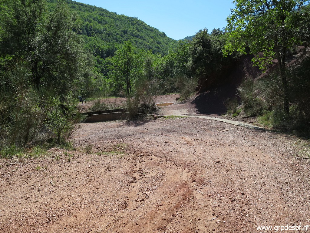 | And this is about the end of the dirtroad, you could park here. (click photo to enlarge) |
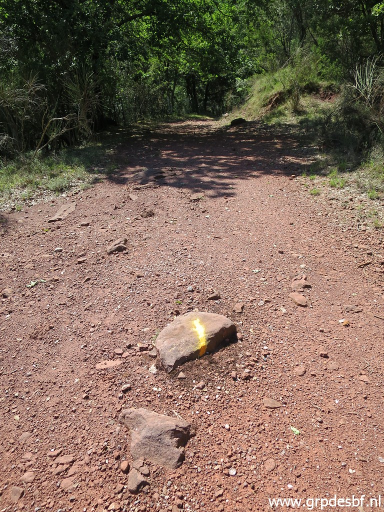 | A yellow waymark (click photo to enlarge) |
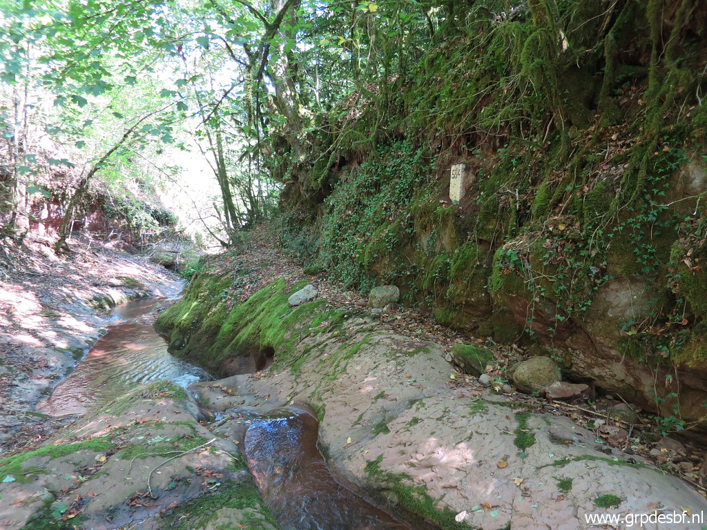
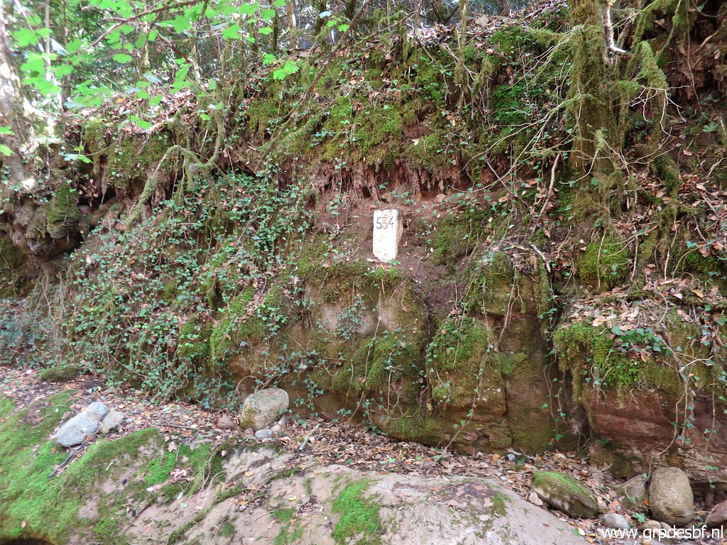
 | and this is the end of the dirtroad, arriving at a dry streambed which is the border between bm533 and 534. (click photo to enlarge) |
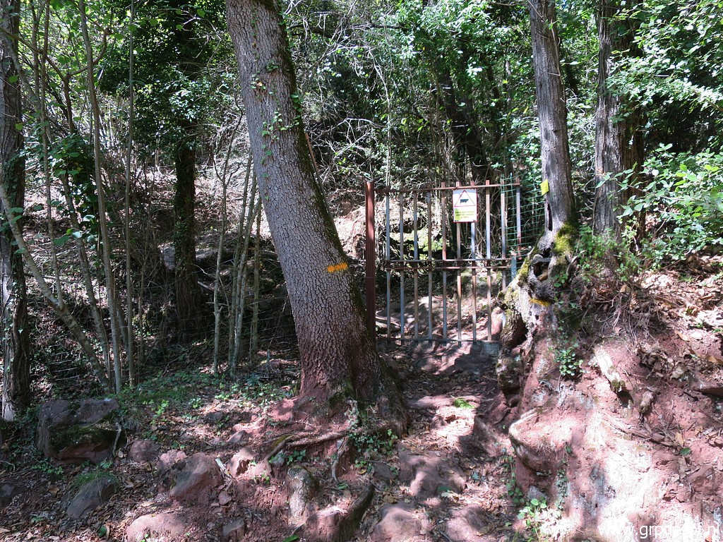 | To the right is this gate which gives access to the streambed and (click photo to enlarge) |
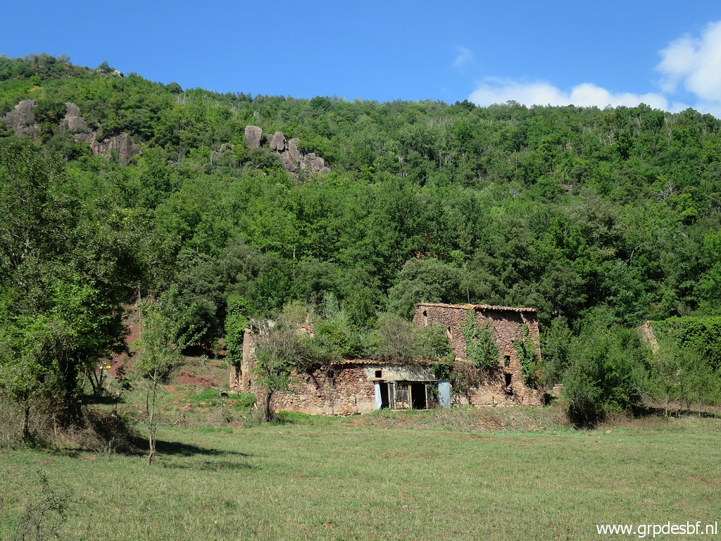
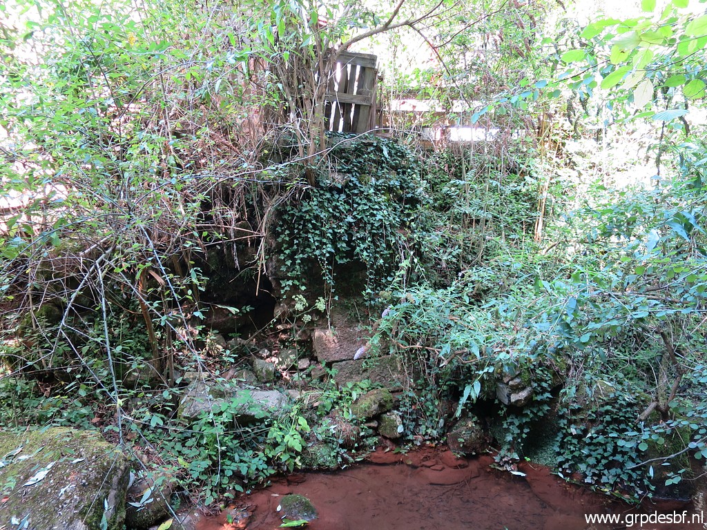
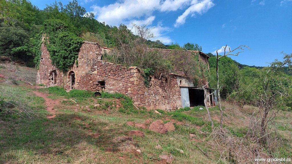
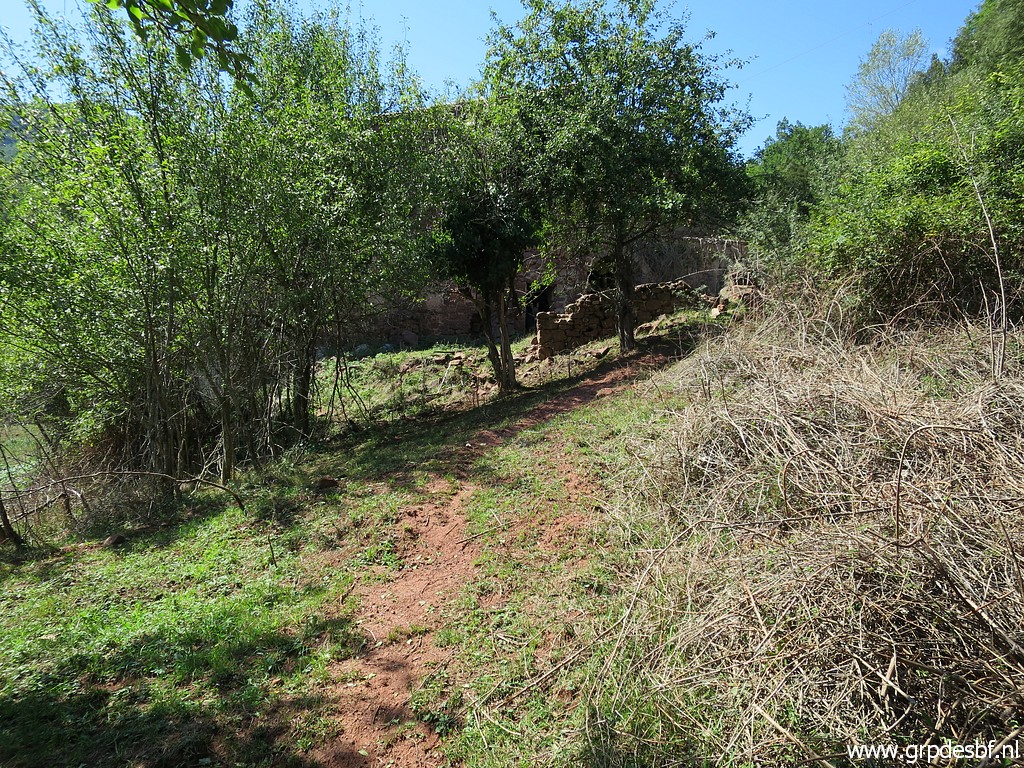 | then you arrive at the ruins of Hostal de la Muga. (click photo to enlarge) |
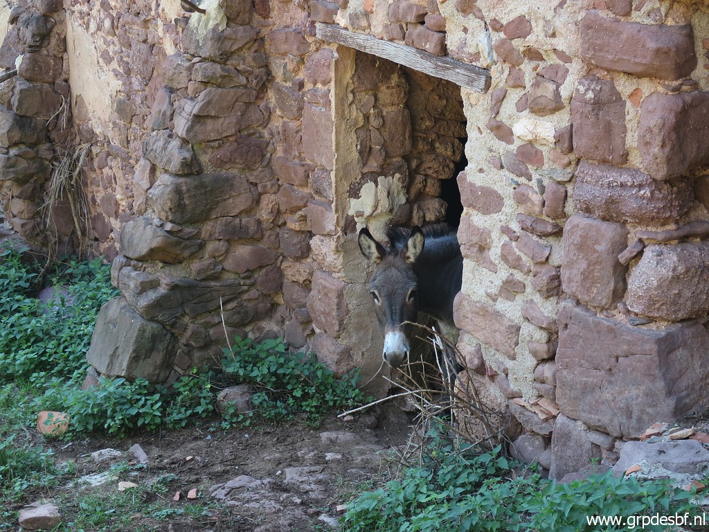 | A donkey is curious. (click photo to enlarge) |
 | This is the barn (click photo to enlarge) |
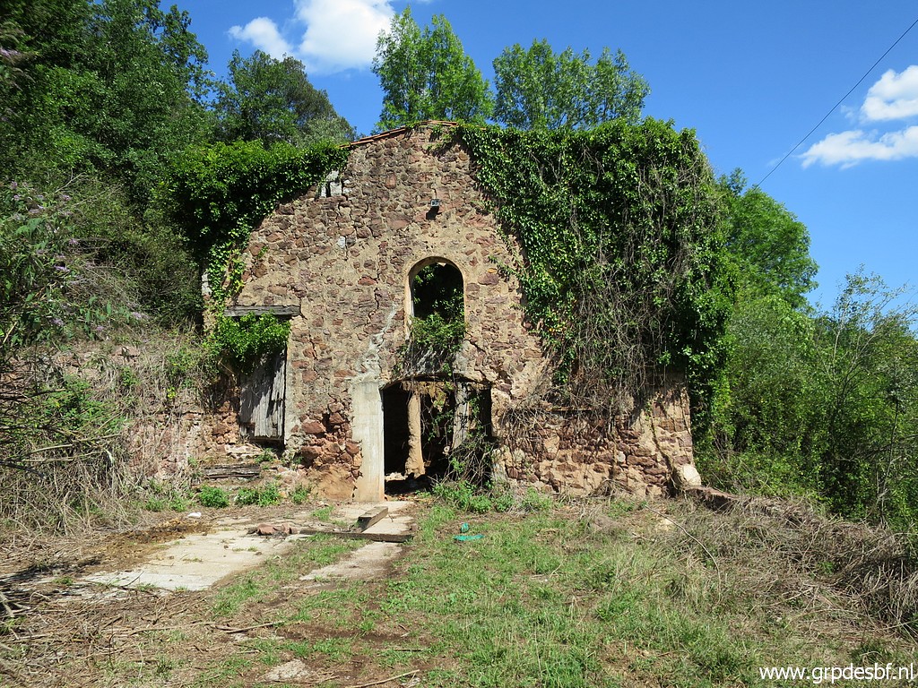
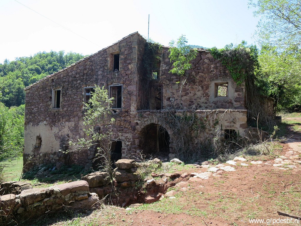 | and this is the old Hostal itself. I received in 2014 from Cayetano some information about it: "Hostal de la Muga which you find mysterious, closed its doors in january 1992. There was also a fountain but now it is dry. The roads leading to it are from the 70ties and before that they needed animals for transportation" (click photo to enlarge) |
 | Hostal de la Muga, the other side. (click photo to enlarge) |
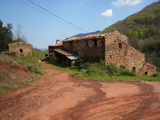 |
And this is a picture of 19-4-2007. the first time I saw Hostal de la Muga. |
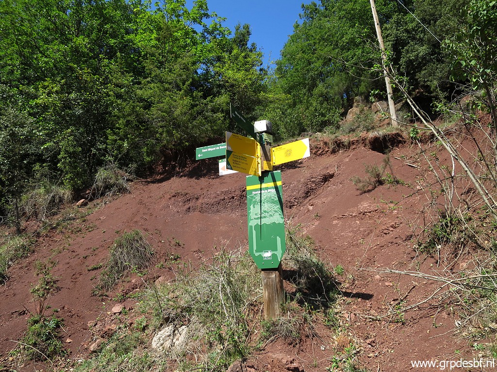 | A big difference with 15 years ago is the abundance now of waymarked trails and waysign-posts (click photo to enlarge) |
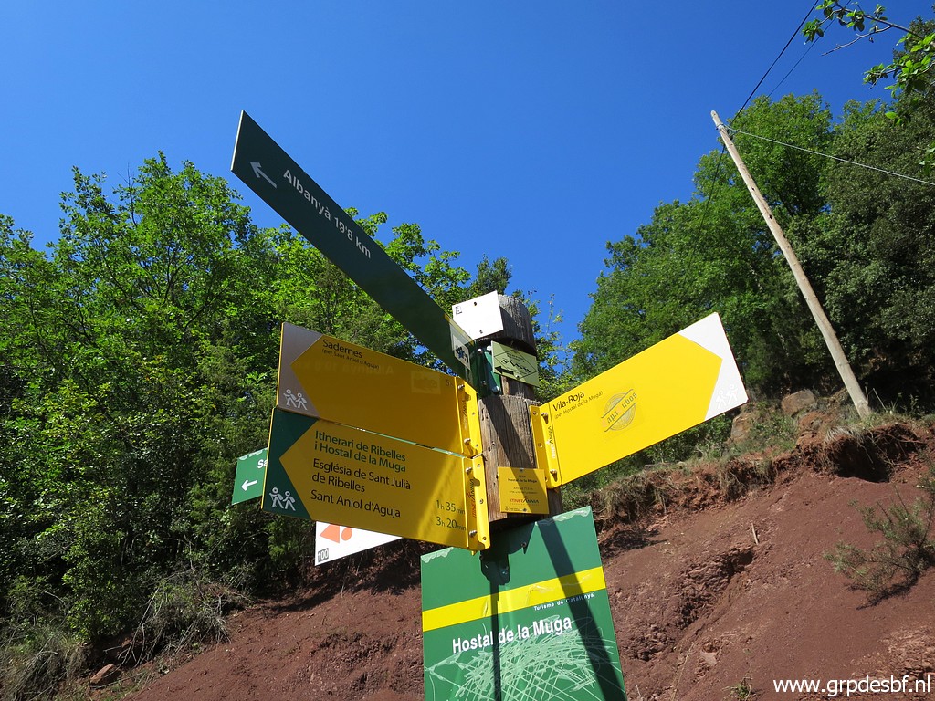 | like this one. (click photo to enlarge) |
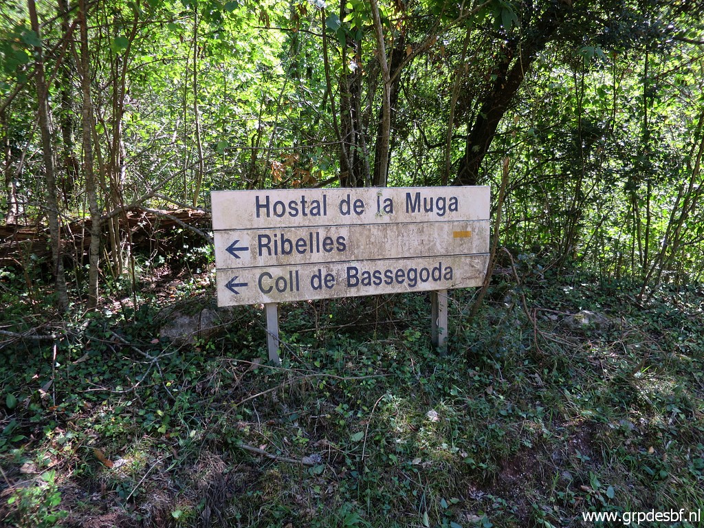 | And this is a peculiar waysign, looks as if it was meant for motorized traffic. (click photo to enlarge) |
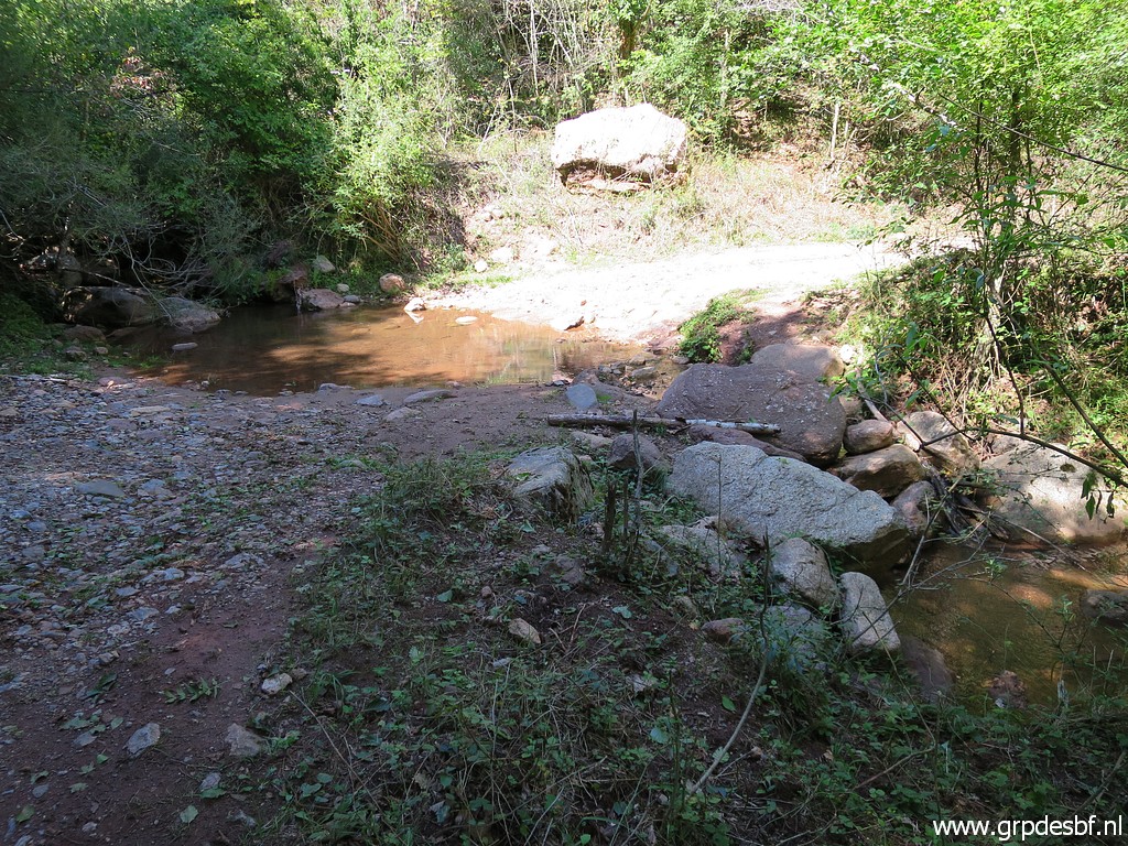 | This is the crossing of the Muga, (click photo to enlarge) |
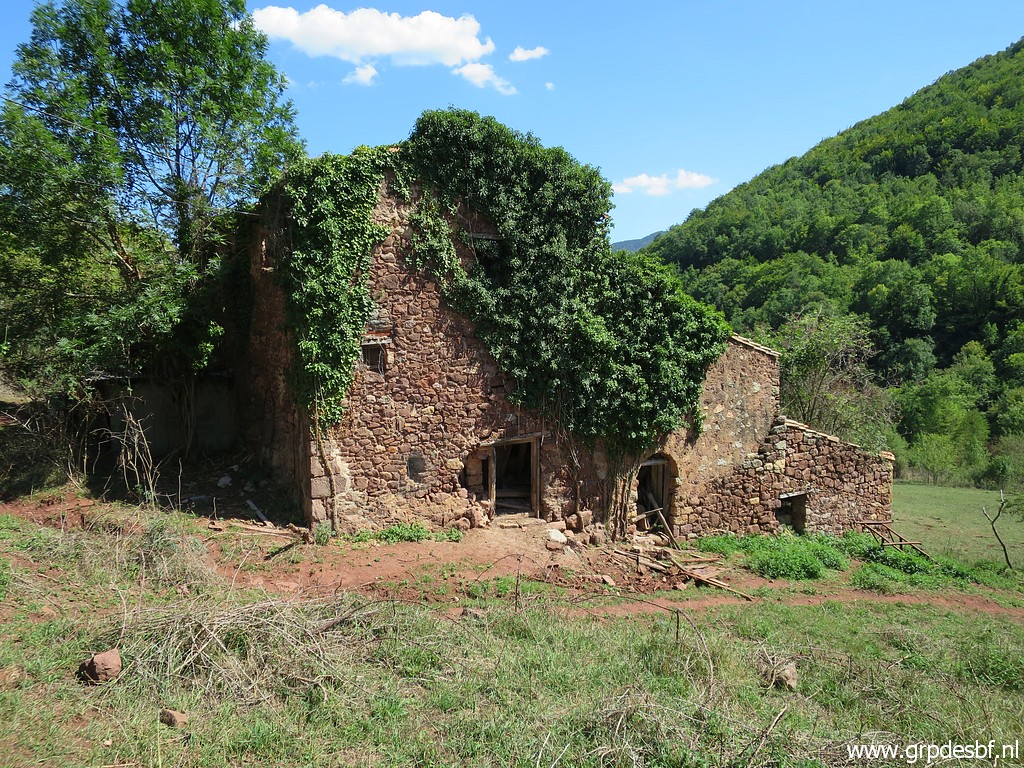
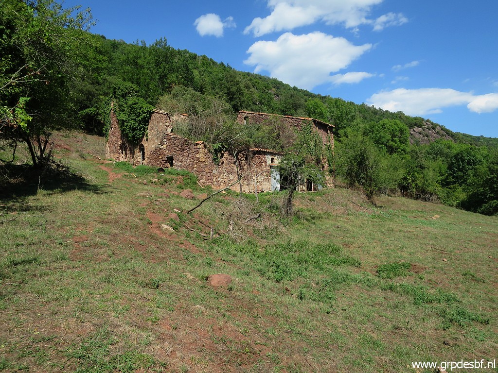 | Back and another view of Hostal de la Muga (click photo to enlarge) |
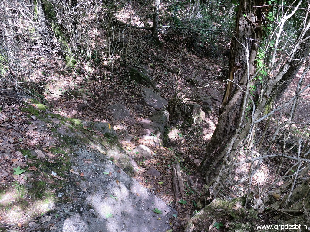
 | Hostal de la Muga with behind it on the hillside a band of rocks. That is approximately the borderline. (click photo to enlarge) |
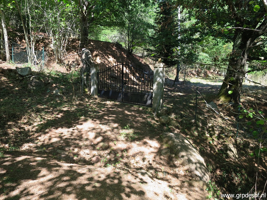 | Now I descend towards La Muga with bm534. In between this gate to a sort of compound of French houses and villa's. (click photo to enlarge) |
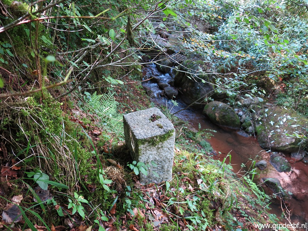
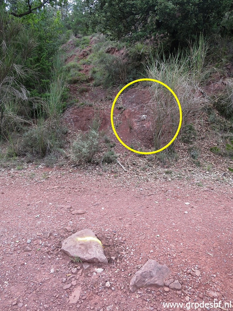
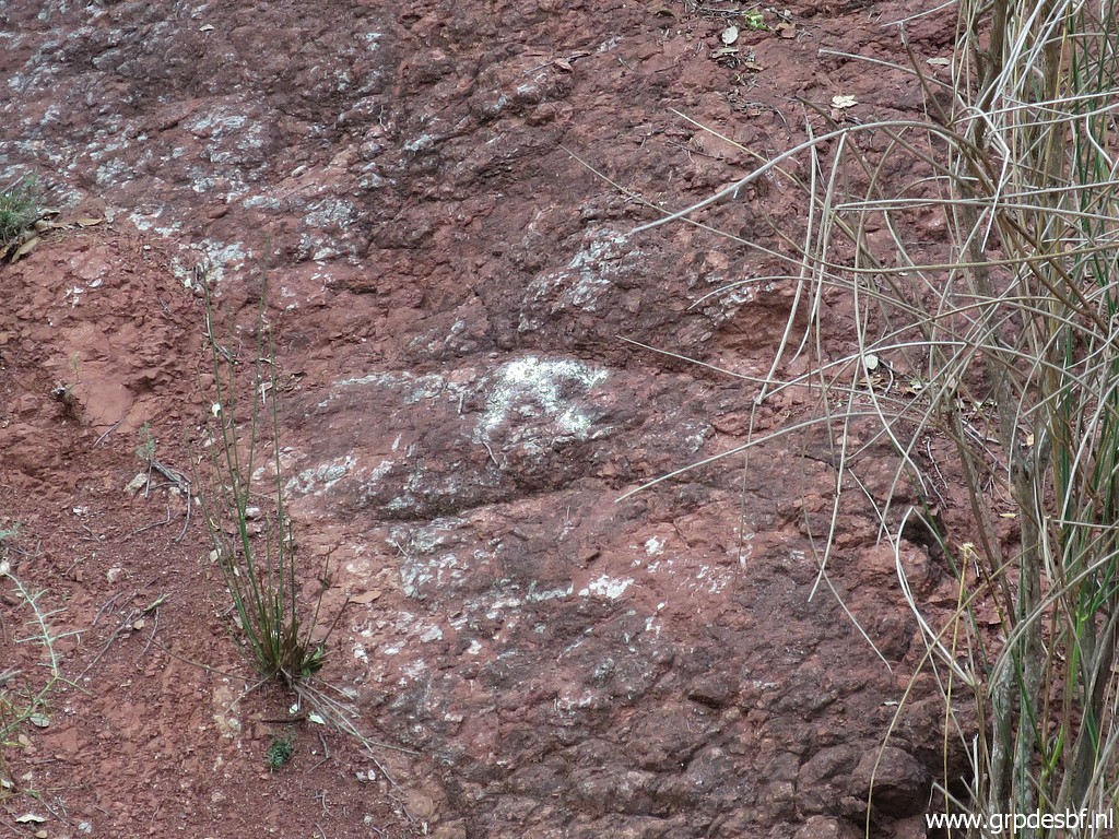
 | Bm534 at the other side of the Muga. According to information of Charles & Josette Darrieu, the original bm534 was washed away by a flooding on 17 october 1940 and replaced by this one. (click photo to enlarge) |
 | Bm534 (click photo to enlarge) |
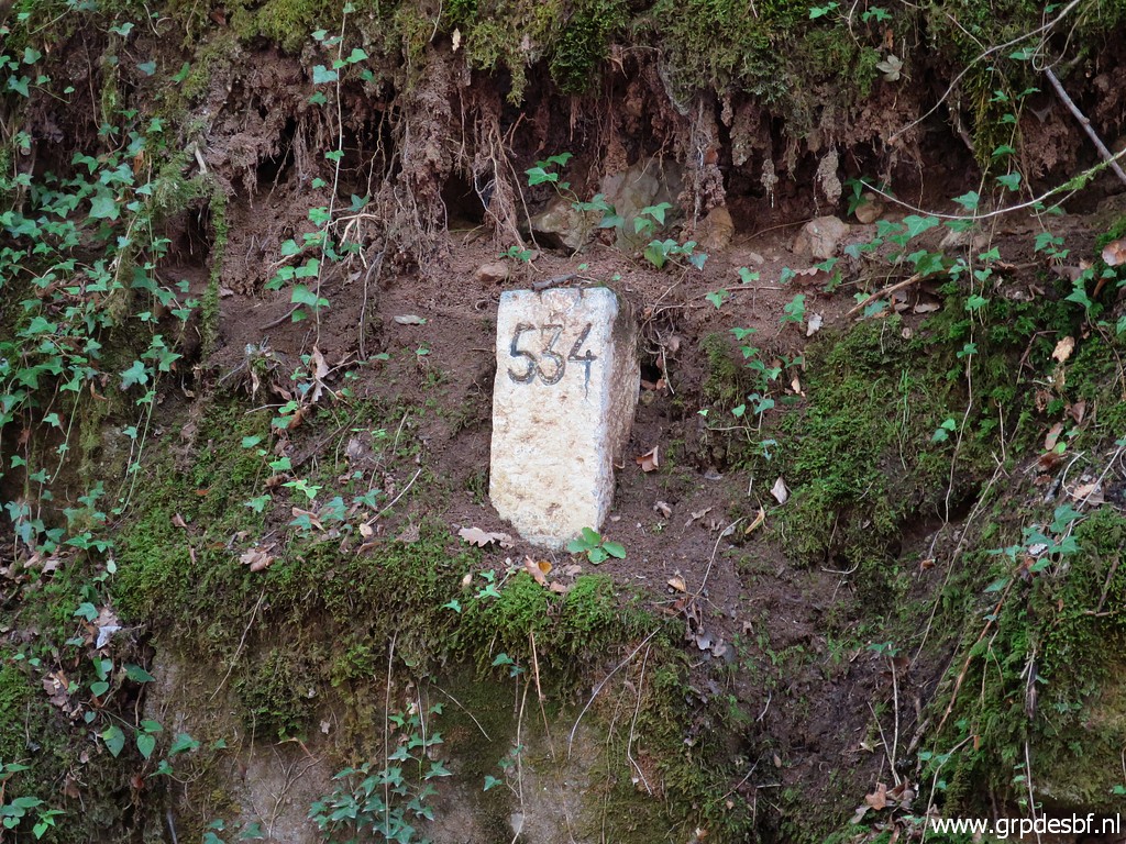 | Bm534 (click photo to enlarge) |
 | Bm534 (click photo to enlarge) |
 | Bm534 (click photo to enlarge) |
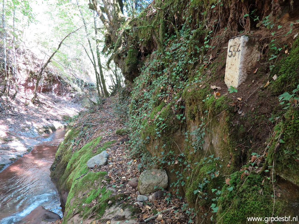
 | Then proceeding to bm535. That implies a short steep climb about 10m beyond bm534 and (click photo to enlarge) |
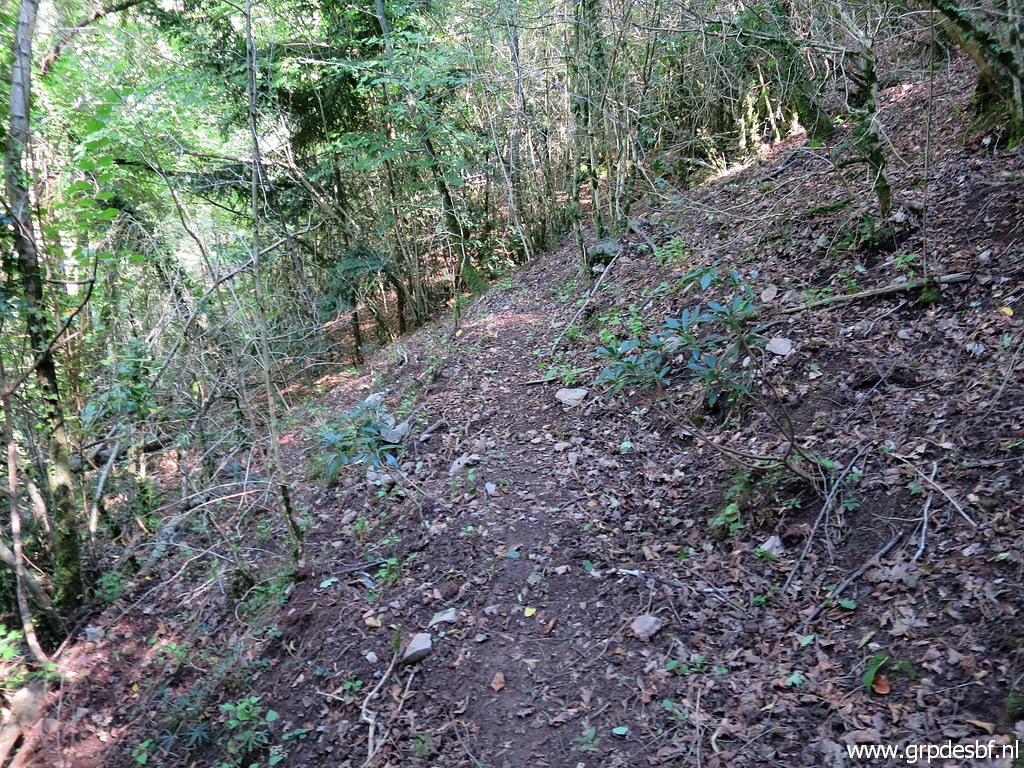 | arriving at a trail, sometimes vague but in general well to follow above the Muga. (click photo to enlarge) |
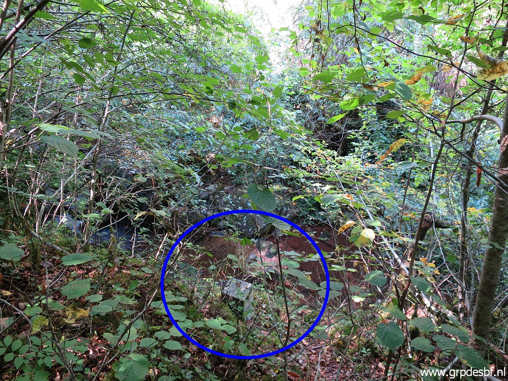 | Bm535 is opposite a house on the other side of La Muga but it might be difficult to distinguish that building. But I have a gps-waypoint (of course) and that's how I find bm535 after some descending. (click photo to enlarge) |
 | Bm535 (click photo to enlarge) |
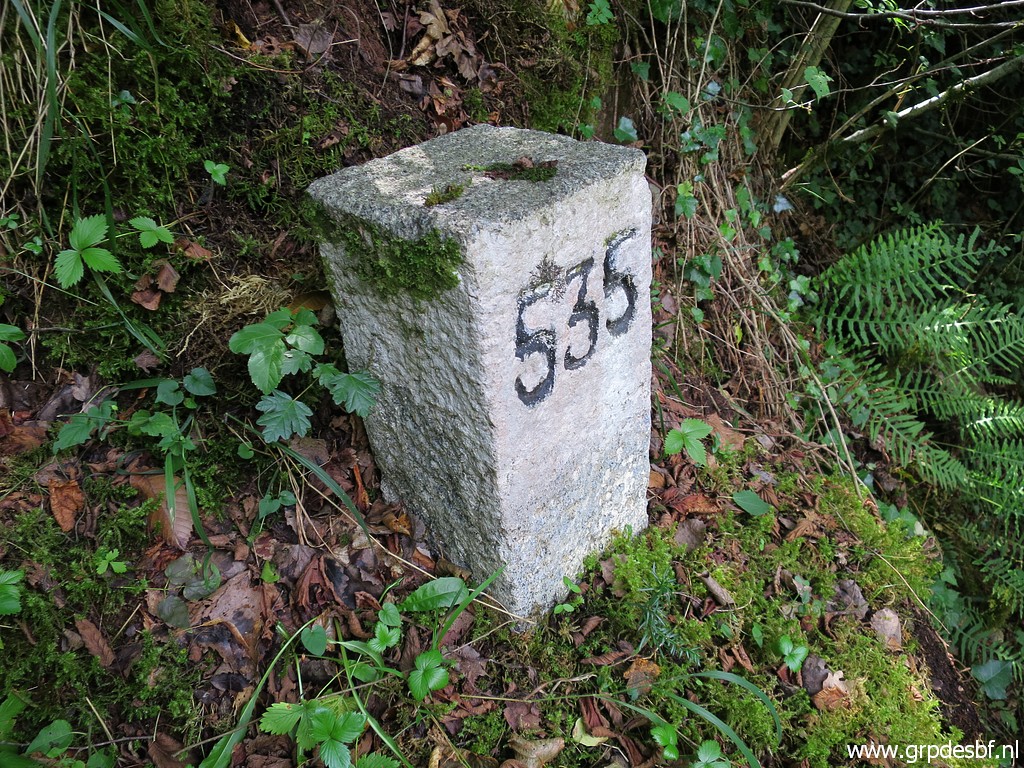 | Bm535 (click photo to enlarge) |
 | Bm535 (click photo to enlarge) |
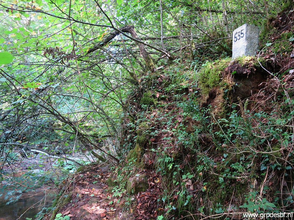 | Bm535 (click photo to enlarge) |
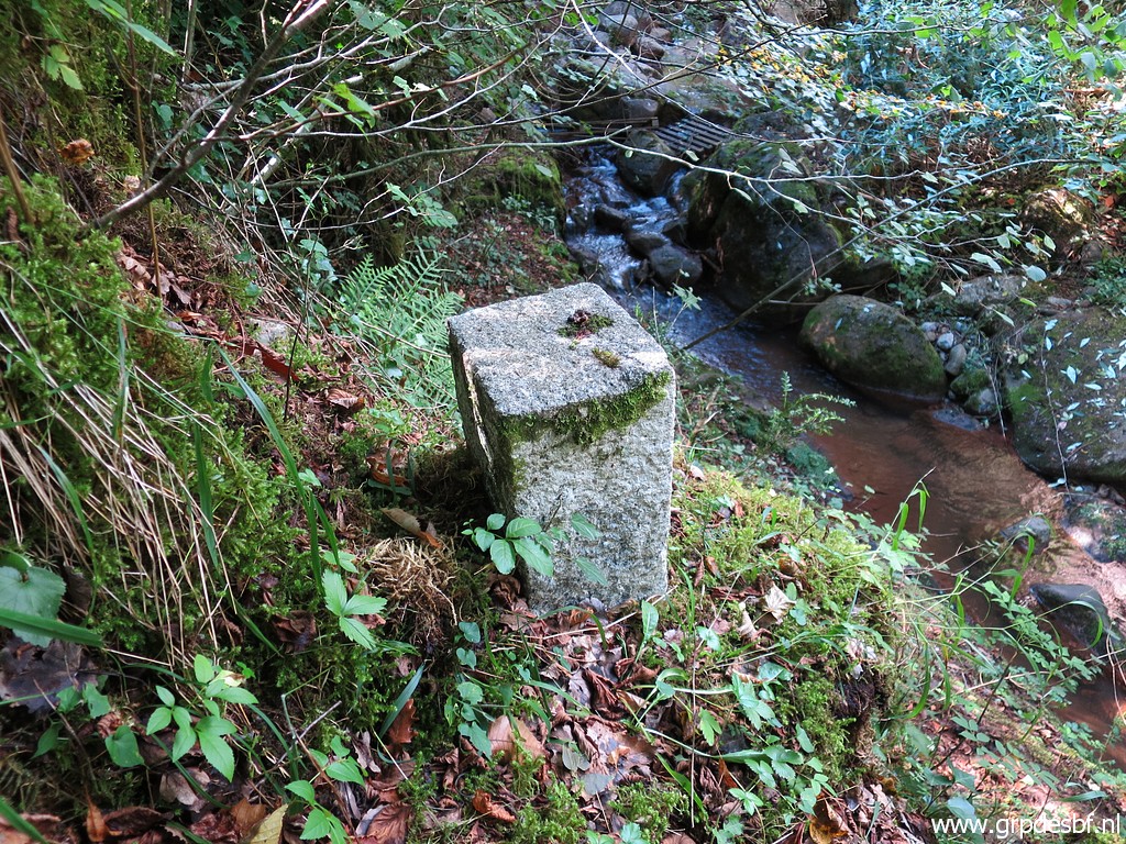
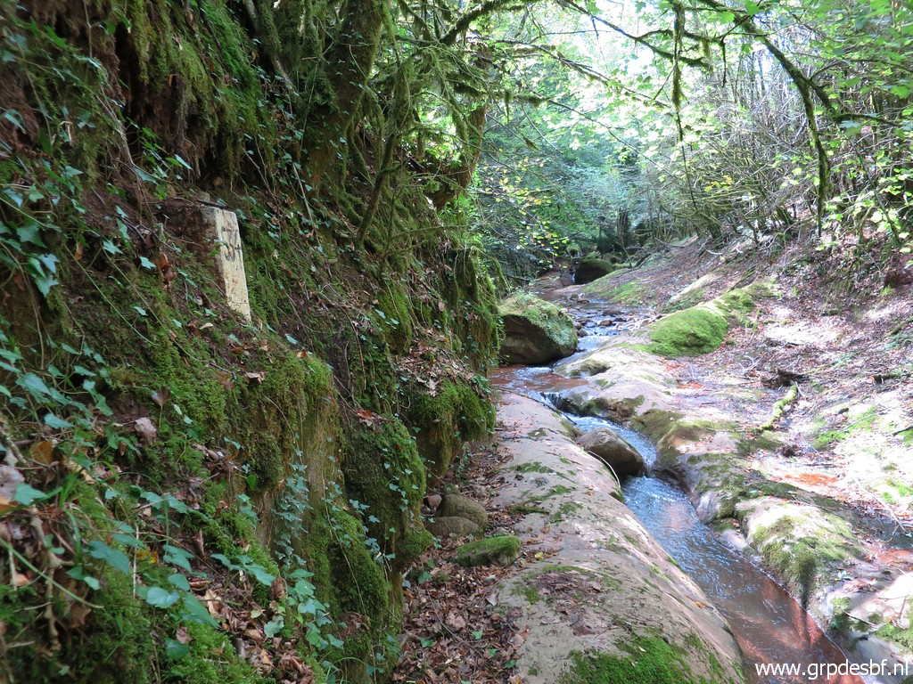
 | At the other side of the stream, we can see the remnants of a bridge . This bridge was also washed away by a flooding on 17 october 1940 including the original bm535. (click photo to enlarge) |
 | Bm535 (click photo to enlarge) |
 | I
return, try in vain a direct route to the dirtroad above (following the
same trail but blocked further on by the Muga and a rockwall) and
return via bm534. (click photo to enlarge) |
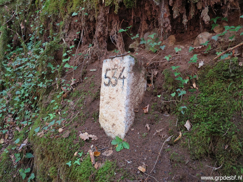
 | Climbing back to the Hostal, a last view back to bm534. (click photo to enlarge) |
 | Back at Hostal de la Muga (click photo to enlarge) |
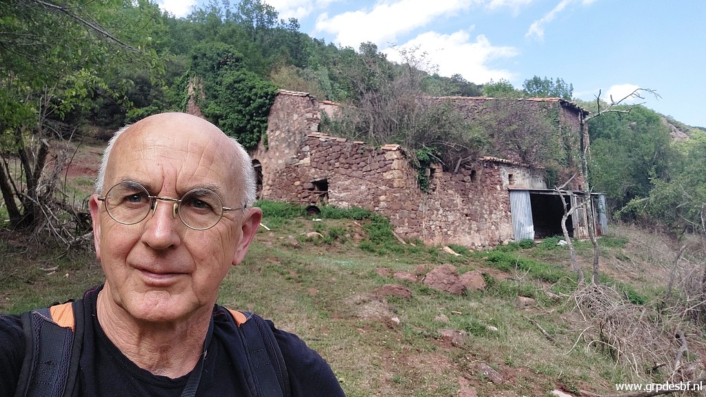 | It might be my last visit to this monument of the impermanence of all things and a selfie is appropiate, I think. (click photo to enlarge) |
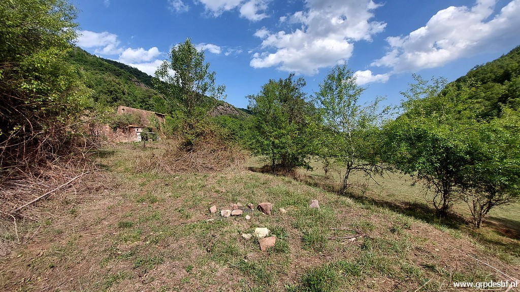 | And to finish my sentimental journey, this is the spot approximately where (click photo to enlarge) |
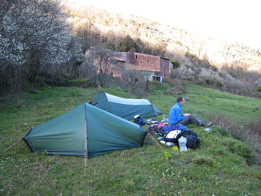 |
Jan-Willem Doomen and me camped on 3-4-2008. |
 | Now returning to the car, here crossing the dry streambed which is the border between bm533 and 534. (click photo to enlarge) |
 | A bit further up the road, there is a trail going uphill, including (click photo to enlarge) |
 | a waymark. It is the trail which will bring you to bm533 (if I remember well). Back to the car and to the camping. (click photo to enlarge) |