|
The
bordermarkers of the Pyrenees : all my trips
 |
|
| -
saturday 3 september
2022 - Revisiting bm540 and Sant Bartomeu de Pincaró |
 |
 |
Summary:
part of a series of 9 daytrips in august & september 2022 across
the Pyrenees. The main goal was to finish my plan to have visited all
bordermarkers at least twice. It was also a kind of sentimental farewell journey, visiting old friends and cherished places. This is daytrip 8. Today: a nostalgic visit to the church of Sant Bartomeu de Pincaró and an investigation of an alternative route to bm536. Weather: lightly overcast & also sunny Basecamp: camping Verte Rive in St-Laurent-de-Cerdans |
 track-20220903.kml
(click to open this trip in Google Earth or copy link to Google Maps; click right on this link to download gpx-version). The gps-track has not been manually corrected which explains the inaccuracy and misalignment at some points. For cartographic backgrounds: see the cartography-page Gps-waypoints of all bordermarkers (most recent version): kml: esfr-bordermarkers-all-waypoints.kml gpx: esfr-bordermarkers-all-waypoints.gpx (with elevation added by gpsvisualizer.com) |
|
 |
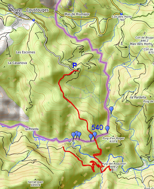
According to Garmin
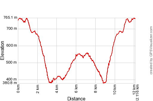
Basecamp (uncorrected track with elevation added by Gpsvisualizer.com): Distance: 12,1 km Max-height: 765m Min-height: 381m Elevation: +1017m -1005m Total elevation: 2022m Start 11:25 Finish 16:00 Total time: 4:35 |
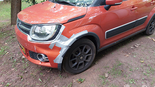 |
I had a bad day yesterday. The weather was perfect for swimming to bm602 but at the parking in Portbou I forgot to put on the handbrake. My car escaped and collided with another car. A lot of hassle, filling in papers etcetera and no swimming. |
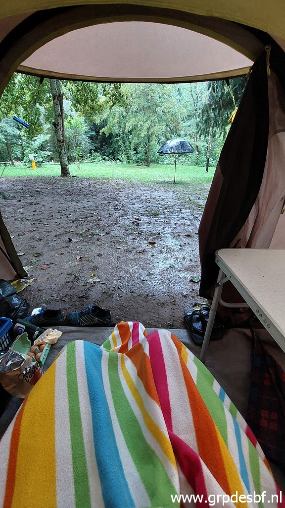 | A rainy and chilly morning. (click photo to enlarge) |
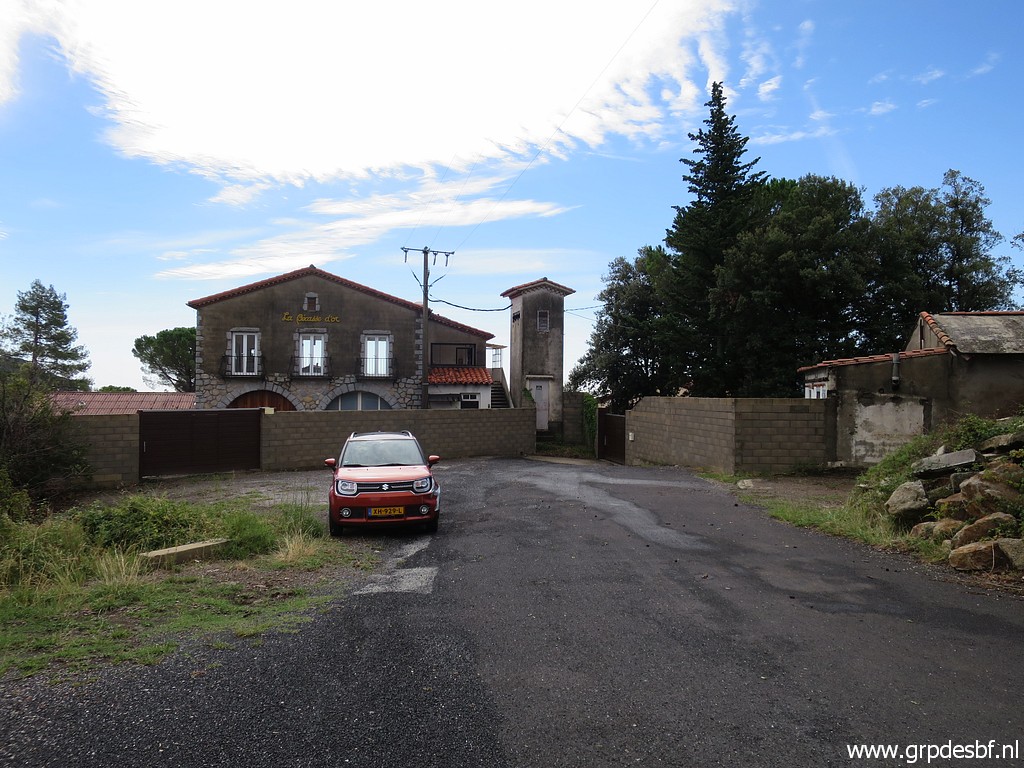 | Parking at Can d'Amunt, it looks like a fortress nowadays. I was told that the Belgian owner that Jan-Willem and me spoke years ago (with ambitious plans to reopen the restaurant) still lives here. (click photo to enlarge) |
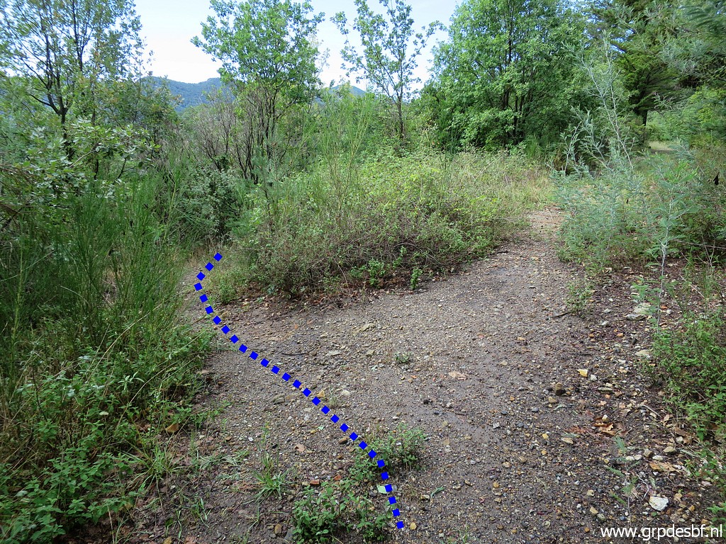 | I pick up the trail and soon there is this bifork. (click photo to enlarge) |
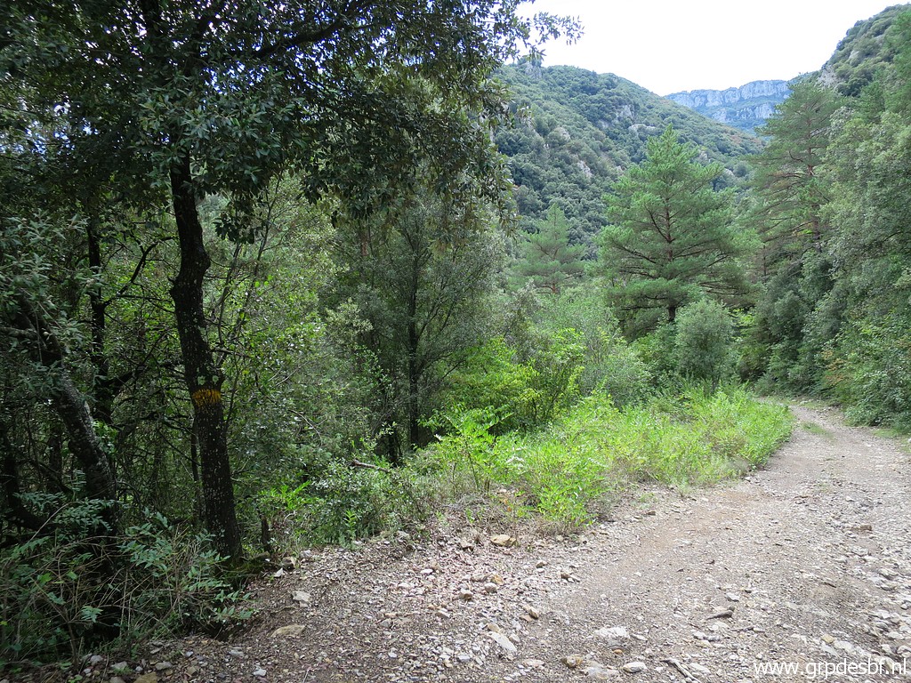
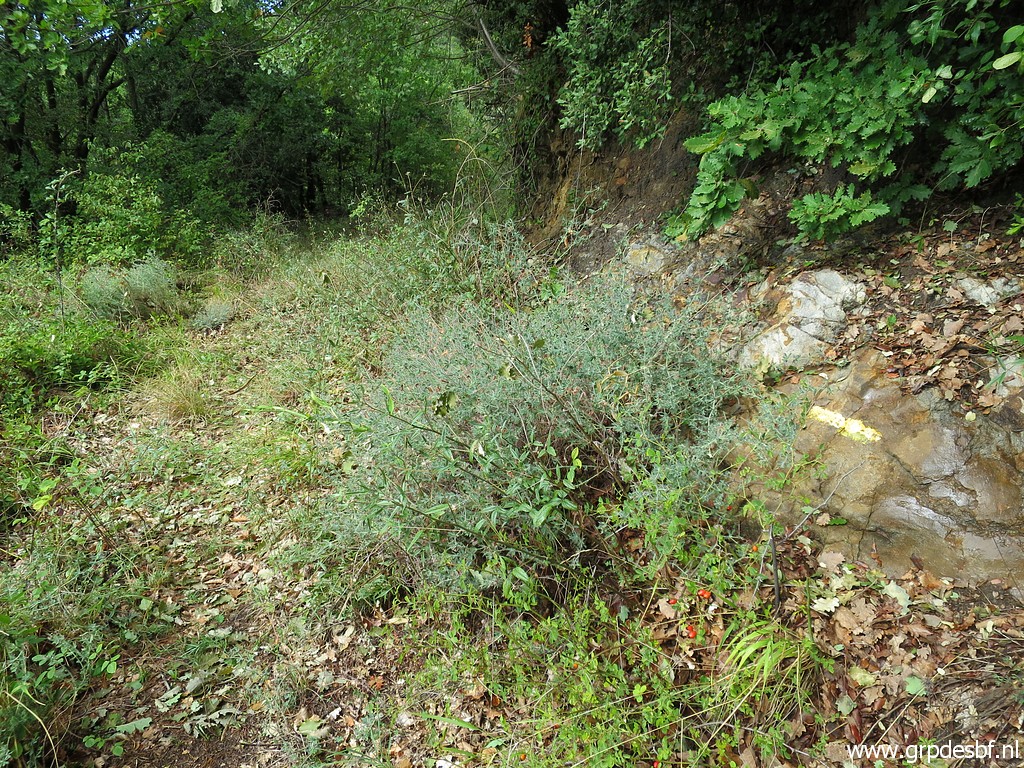 | There are yellow waymarks but not very consistent. (click photo to enlarge) |
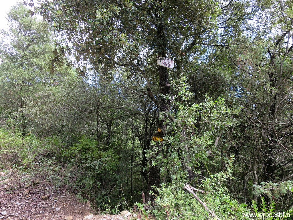
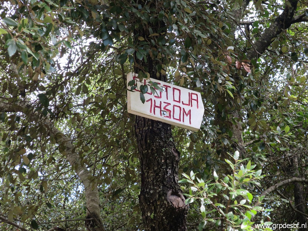
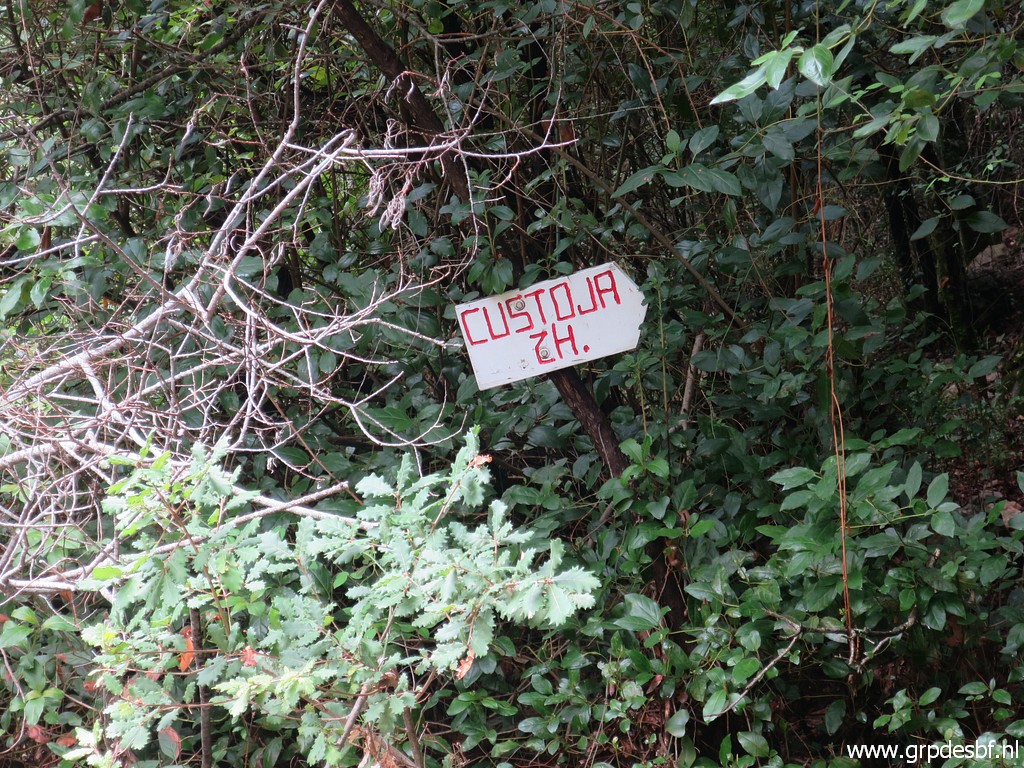
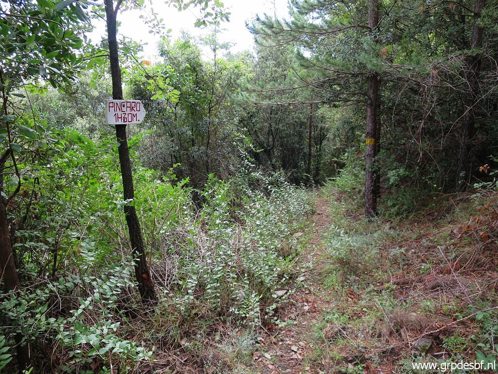 | A waysign. I suppose that they mean the church of Sant Bartomeu de Pincaró (click photo to enlarge) |
 | Another waysign (click photo to enlarge) |
 | And this is another bifork. To the left is a trail towards bm541 but that seemed in earlier trips to have faded away. If your goal is bm541, you better first head to bm540 and then proceed to bm541. (click photo to enlarge) |
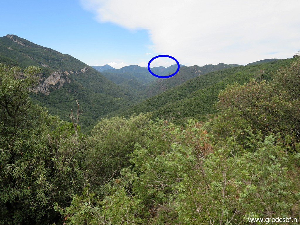 | In between a view to (click photo to enlarge) |
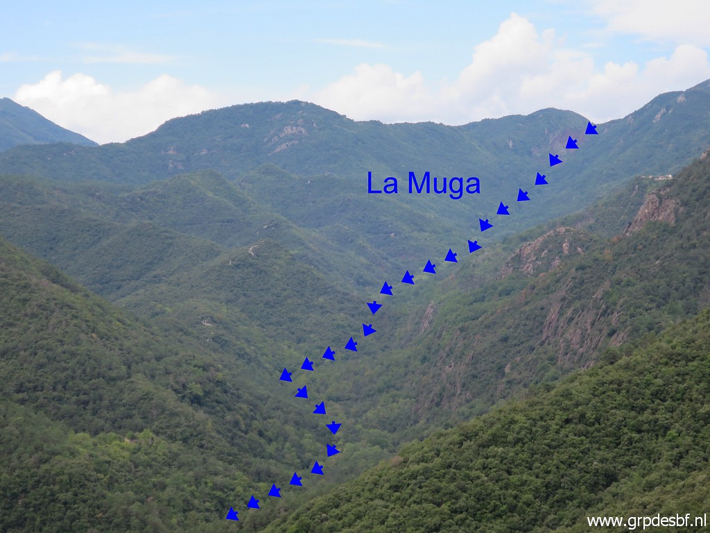 | the source of La Muga. (click photo to enlarge) |
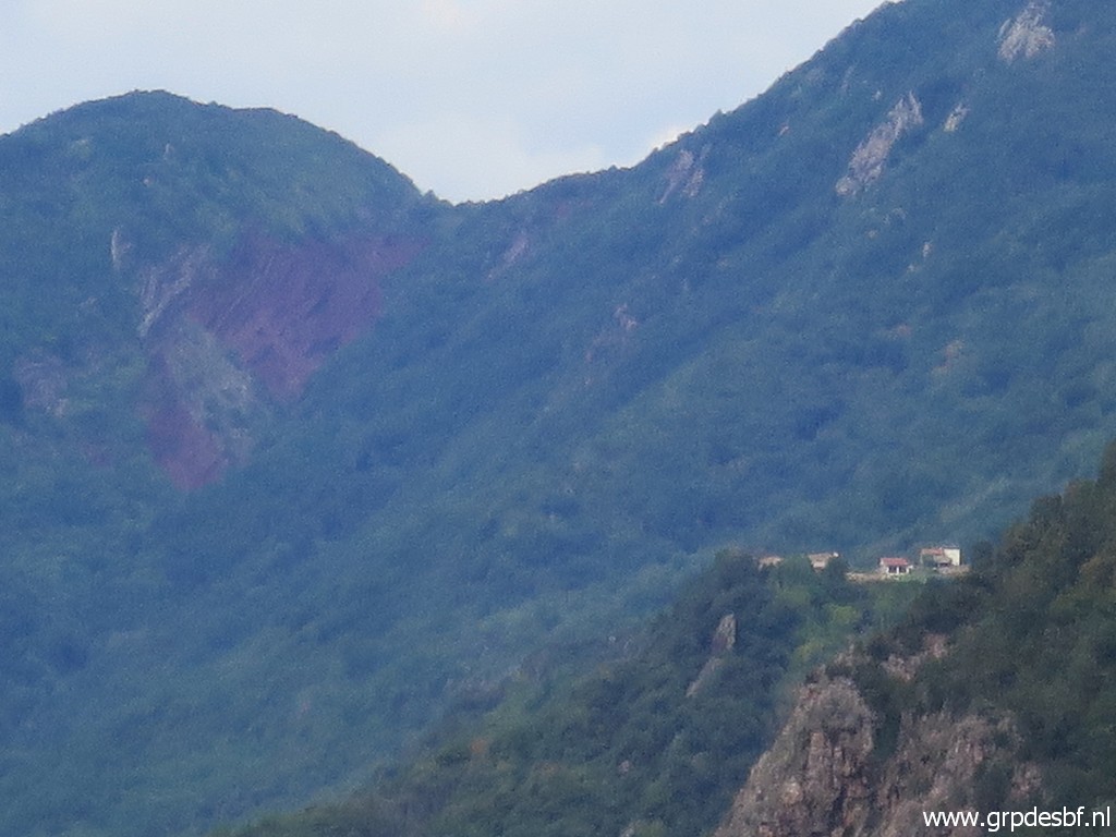 | Zoom-in with a house visible which much have a tremendous view. (click photo to enlarge) |
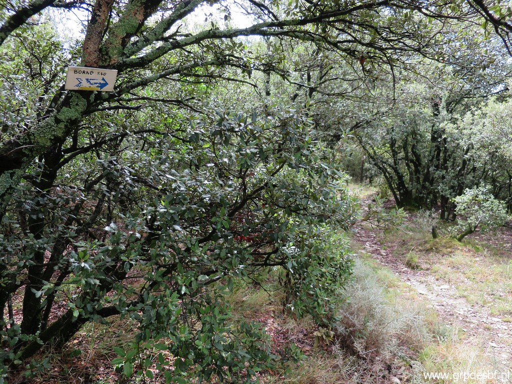
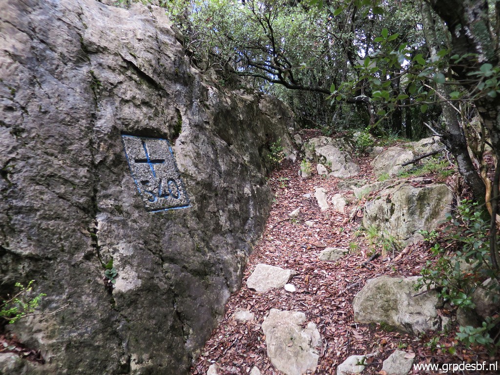
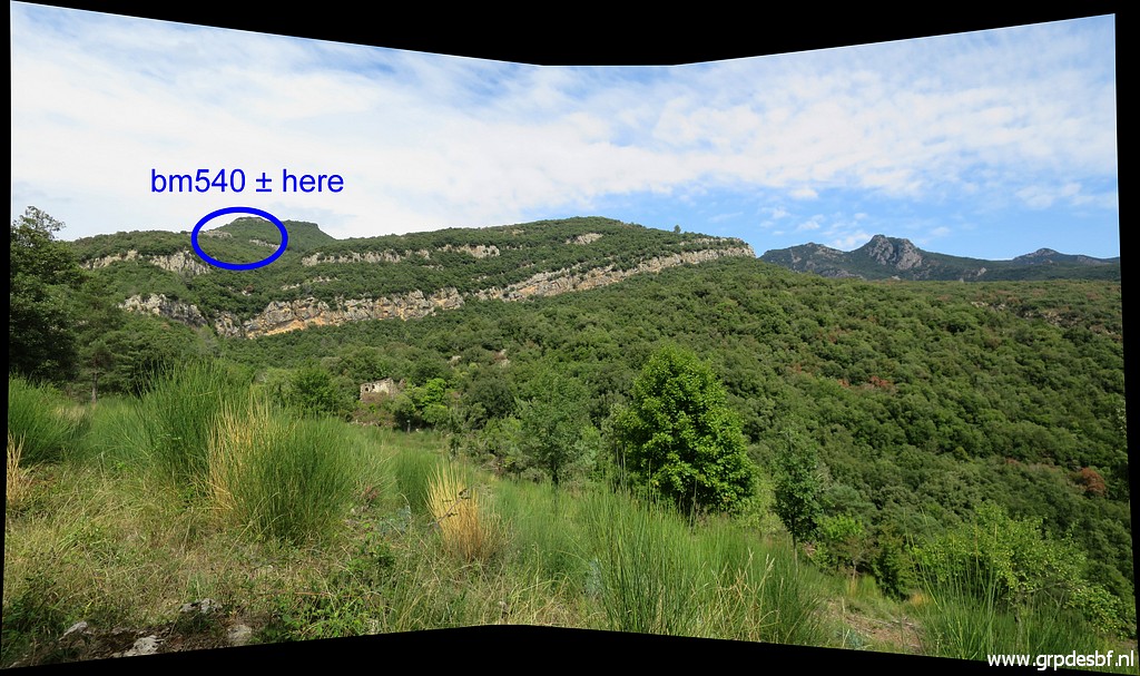
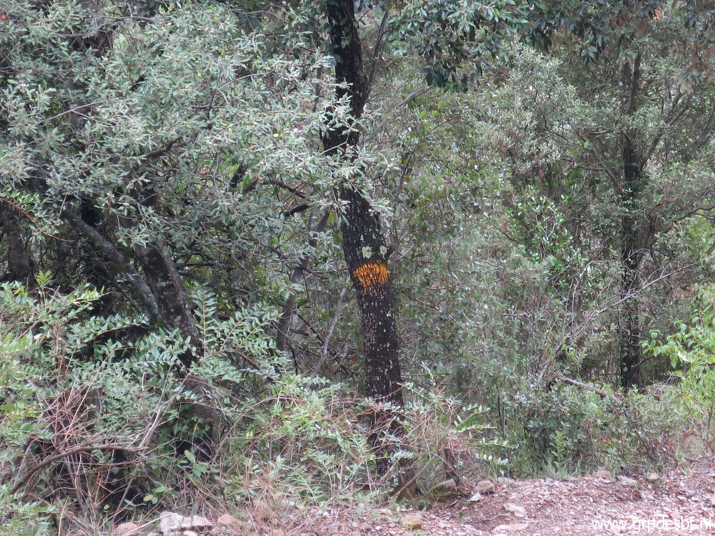
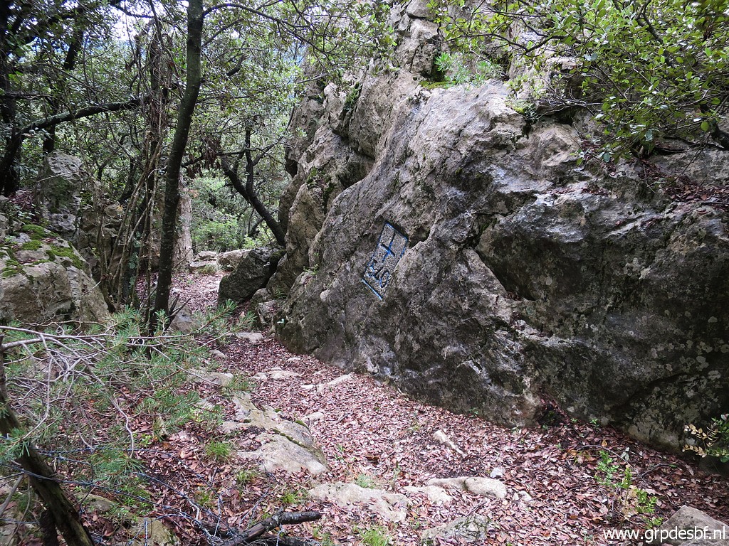 | I arrive at bm540. (click photo to enlarge) |
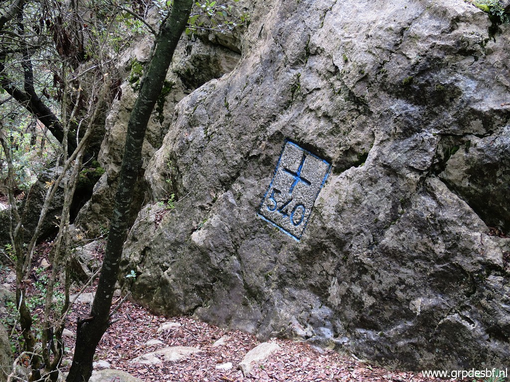 | Bm540 (click photo to enlarge) |
 | Bm540 (click photo to enlarge) |
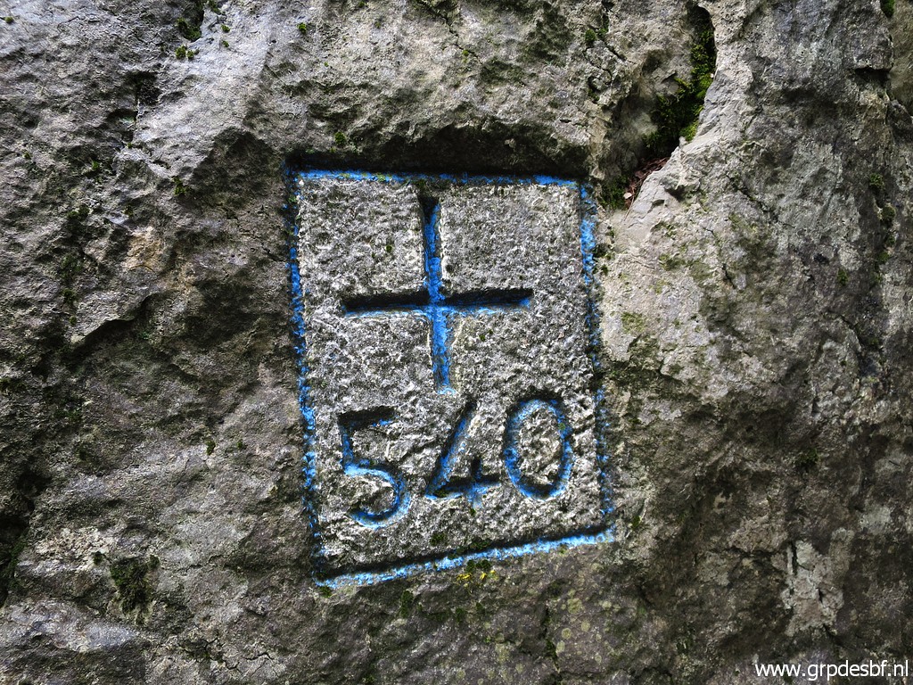 | Bm540 (click photo to enlarge) |
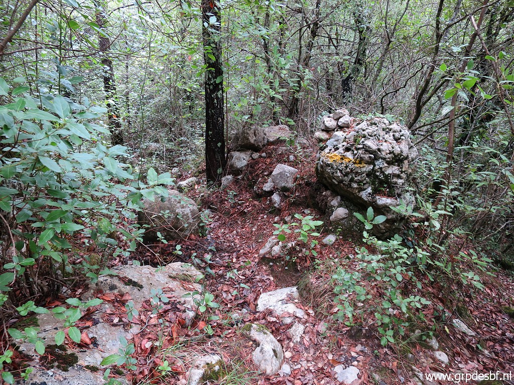
 | I descend into Spain, (click photo to enlarge) |
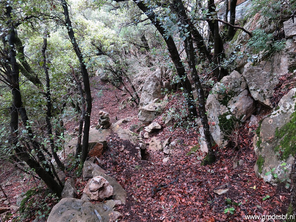 | cairns help. (click photo to enlarge) |
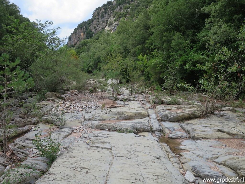
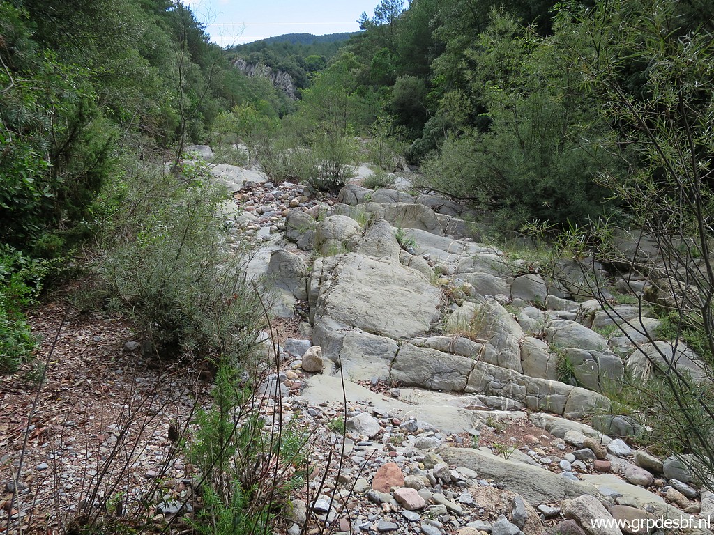 | Arriving at the dry streambed of La Muga. (click photo to enlarge) |
 | The route follows for a while - ± 115m -the streambed and then enters the forest at the other side. Without a (click photo to enlarge) |
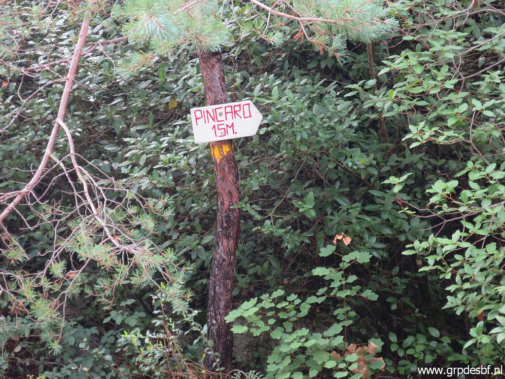 | waysign like this, it would be difficult to find this entrance. (click photo to enlarge) |
 | After a bit of climbing, I reach the mountain road with (click photo to enlarge) |
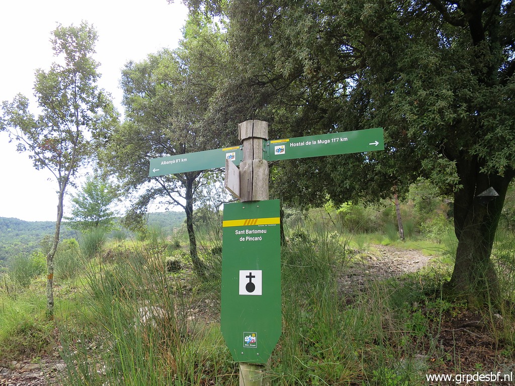
 | a waysign back to Coustouges. (click photo to enlarge) |
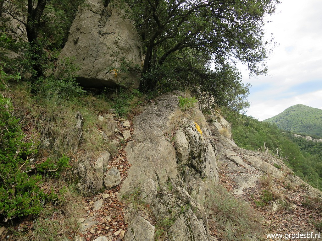
 | The entrance of the forest is also (click photo to enlarge) |
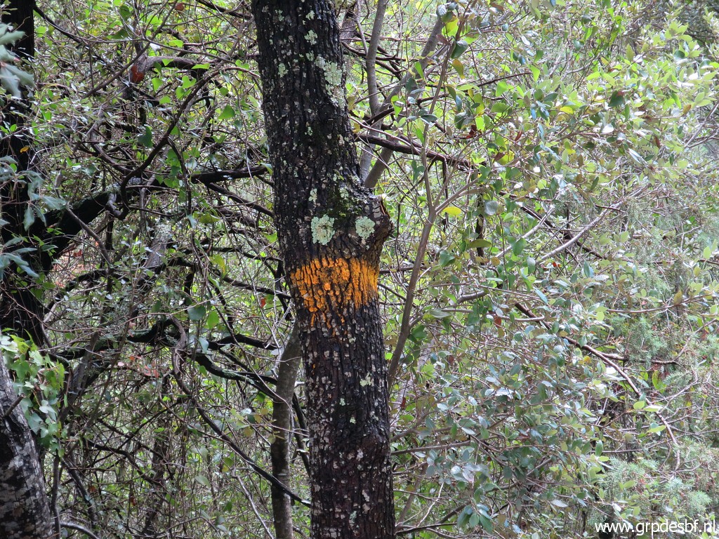 | waymarked with yellow paint. (click photo to enlarge) |
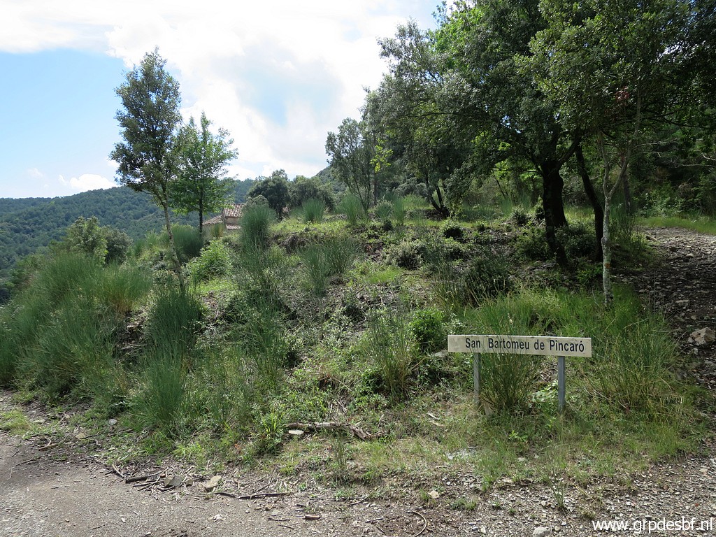
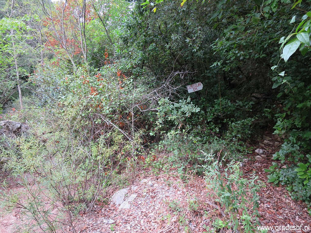
 | I walk E down the mountain road and arrive at the access to the church. (click photo to enlarge) |
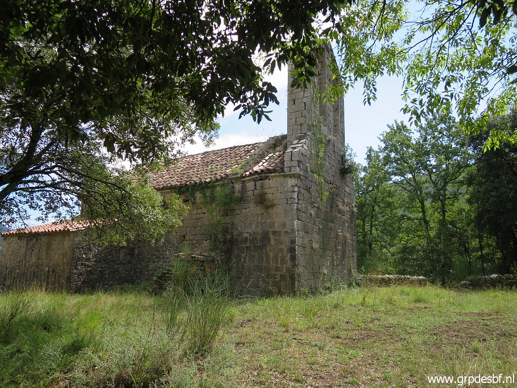 | A short climb and there is the church of Sant Bartomeu de Pincaró (click photo to enlarge) |
 | At a wall I see this plaque saying: In memory of all the neighbors of these mountains who rest in this cemetery (click photo to enlarge) |
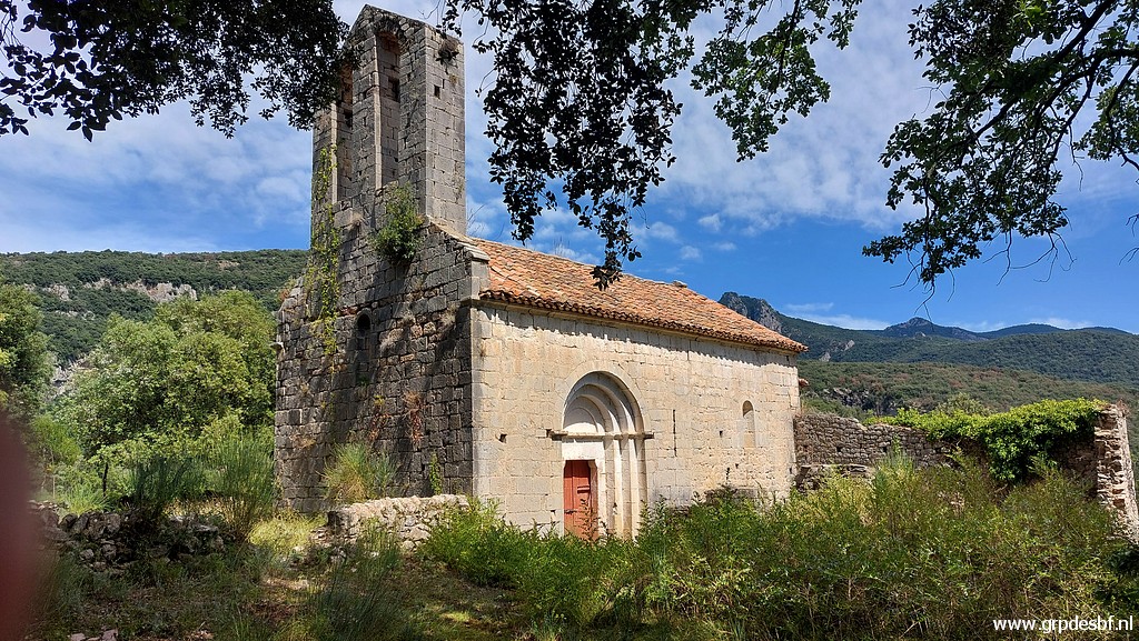 | It's a lovely and spiritual place. (click photo to enlarge) |
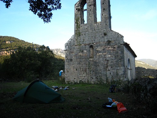 |
I have special memories of this church. I camped here on 16-3-2009 and 18-3-2009. |
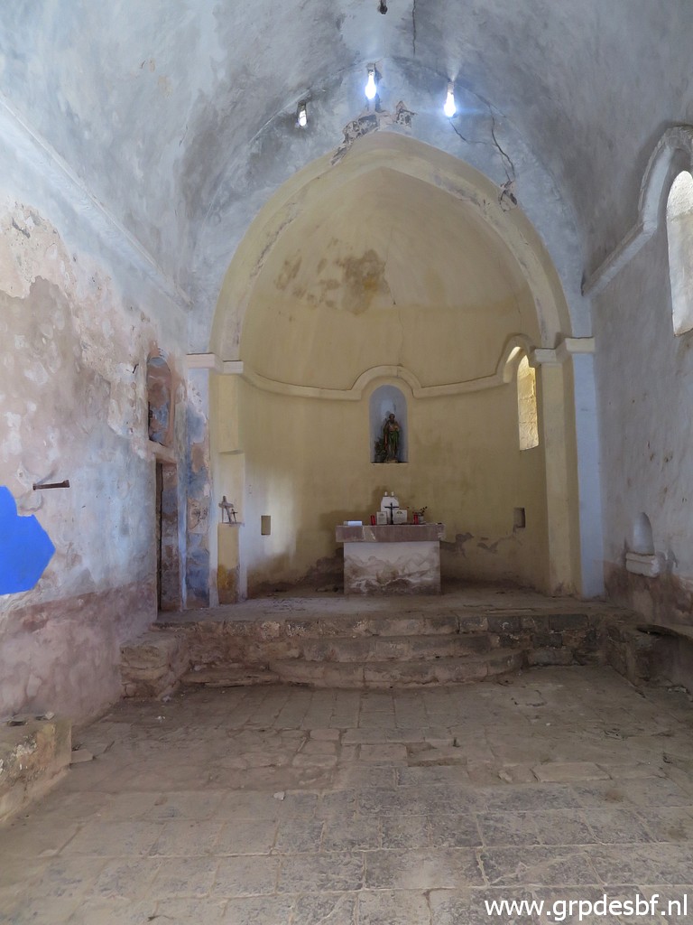 | In the church (click photo to enlarge) |
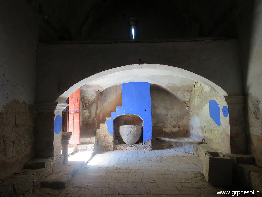 | there is no furniture, the blue paint strikes the eyes. (click photo to enlarge) |
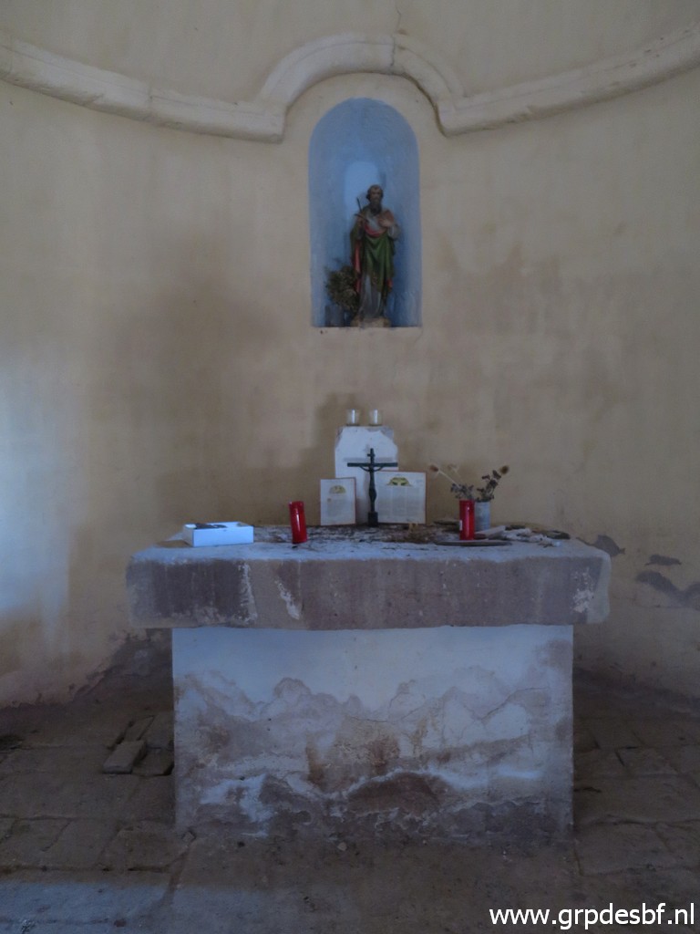 | On the altar (click photo to enlarge) |
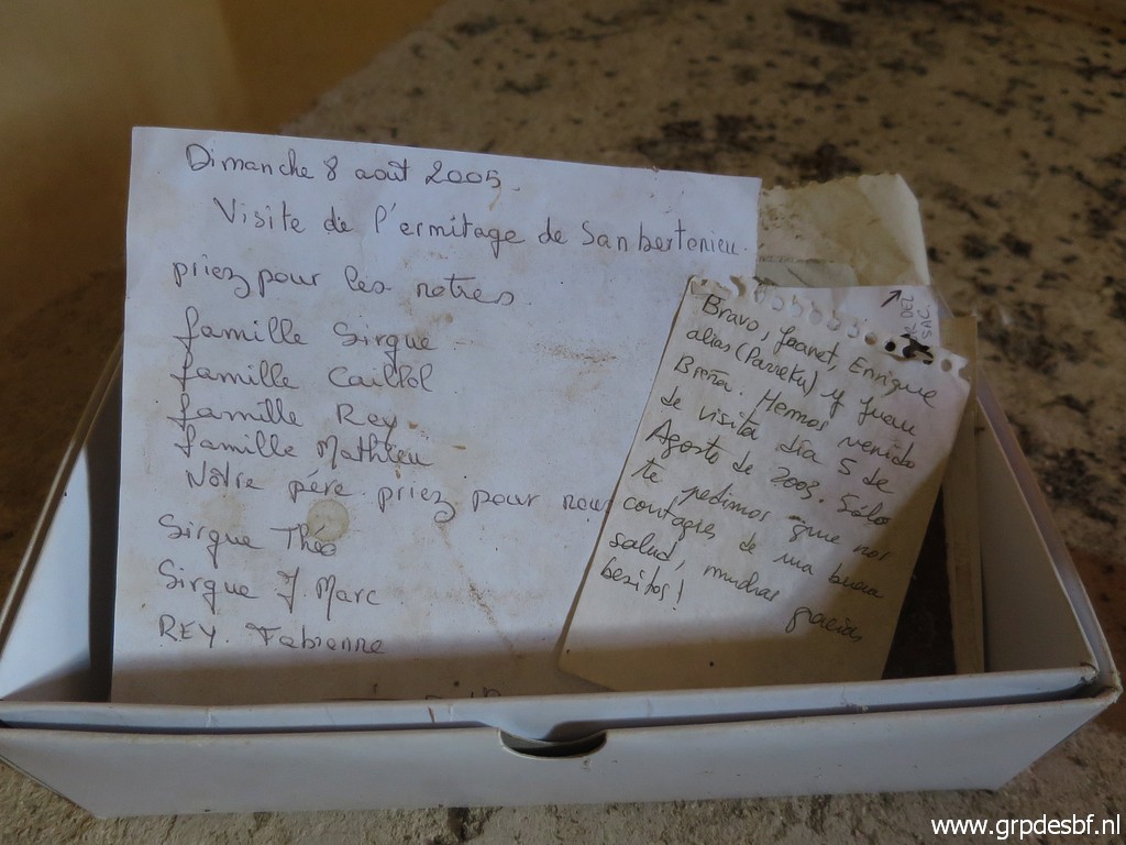 | there are notes of previous visitors (click photo to enlarge) |
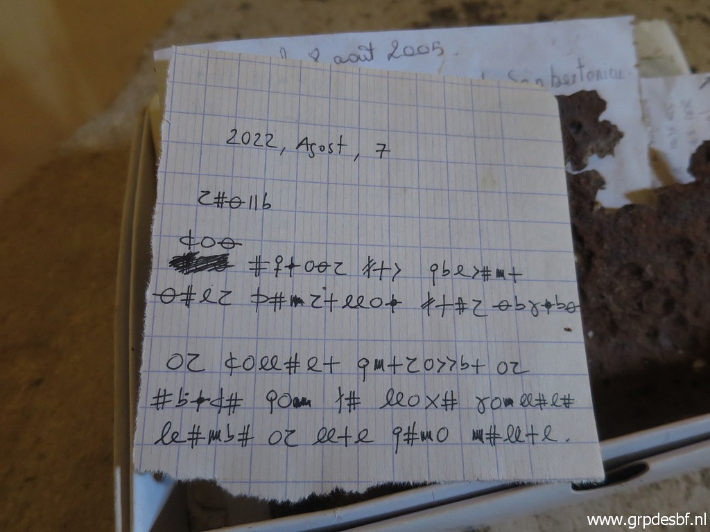 | including a note in secret code. (click photo to enlarge) |
 | A view from the outside (click photo to enlarge) |
 | I return and I am back at the beginning of the access road to the church. (click photo to enlarge) |
 | Now I continue on the mountain road W towards Hostal de la Muga. In between this view. (click photo to enlarge) |
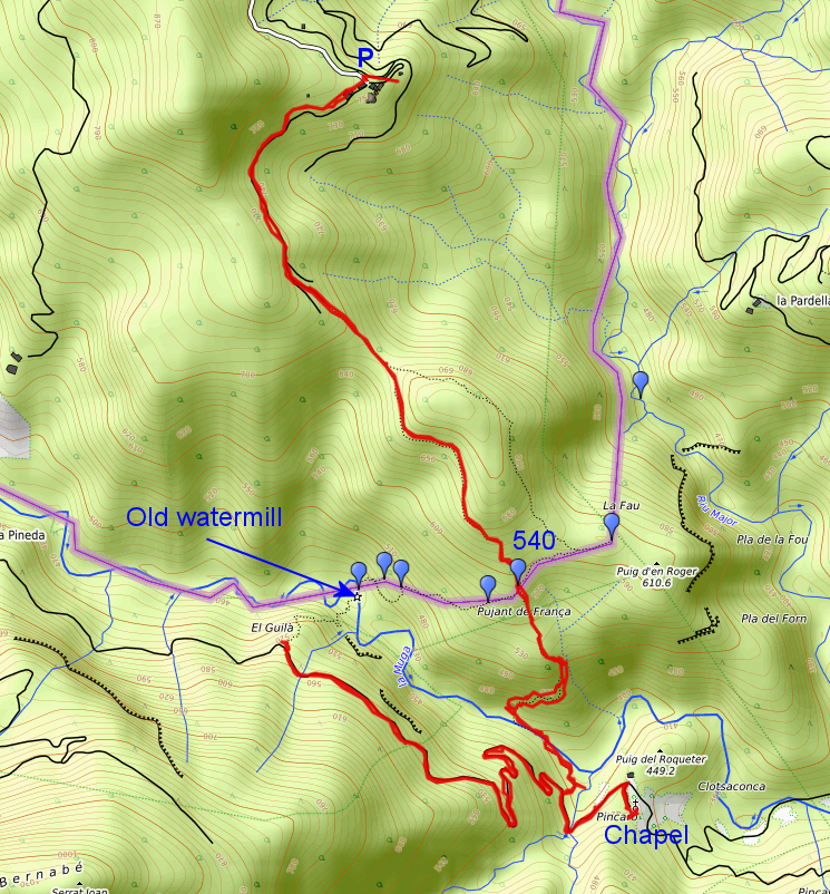
 | My goal is an exploration of a trail to an old watermill close to bm536. (click photo to enlarge) |
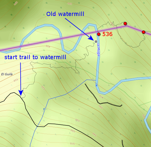 |
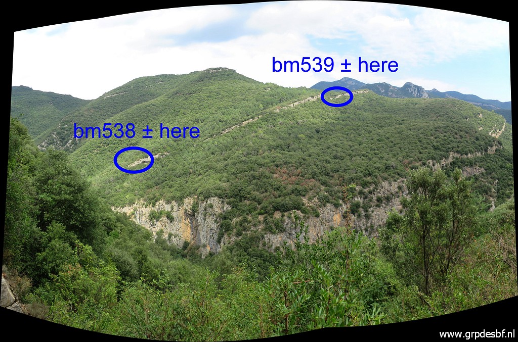
I found that trail in recent years on the OSM-map. I might be a faster alternative route to bm536 and then on via bm537-539 to bm540. |
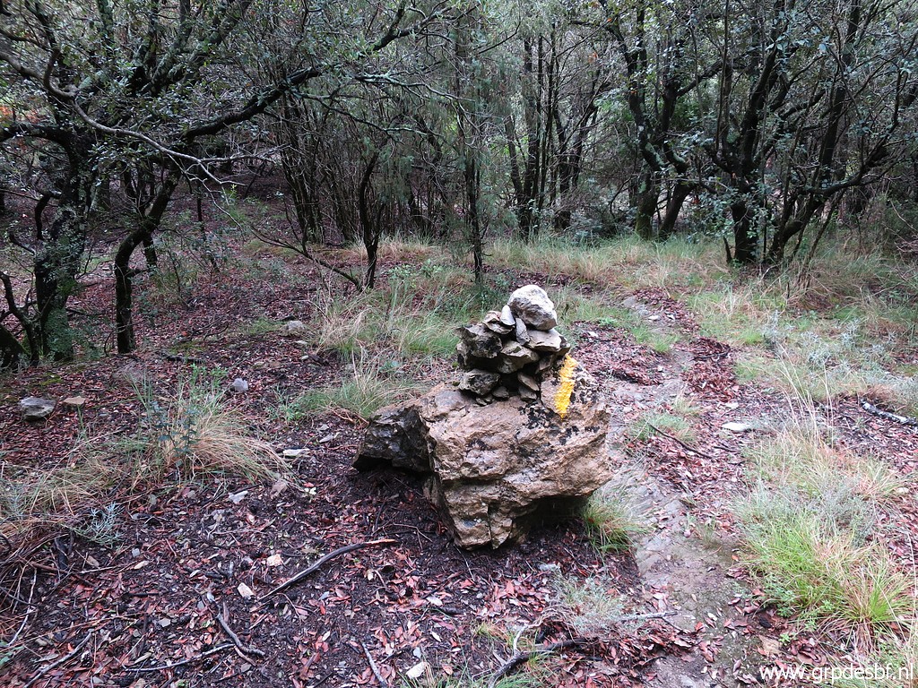
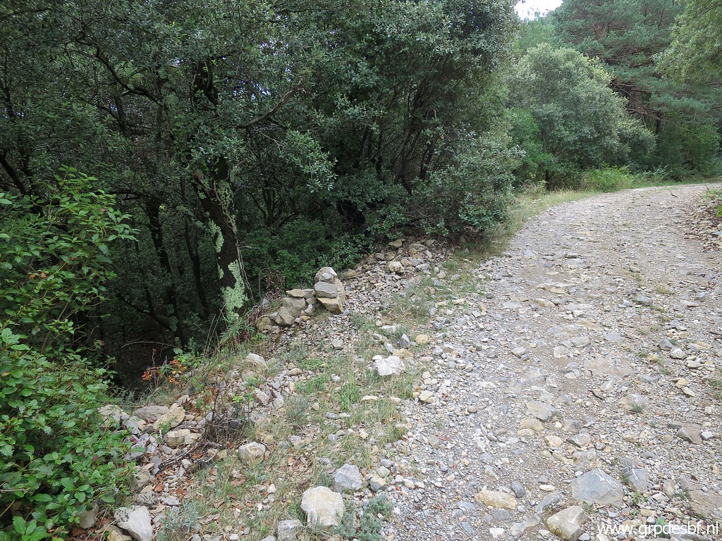
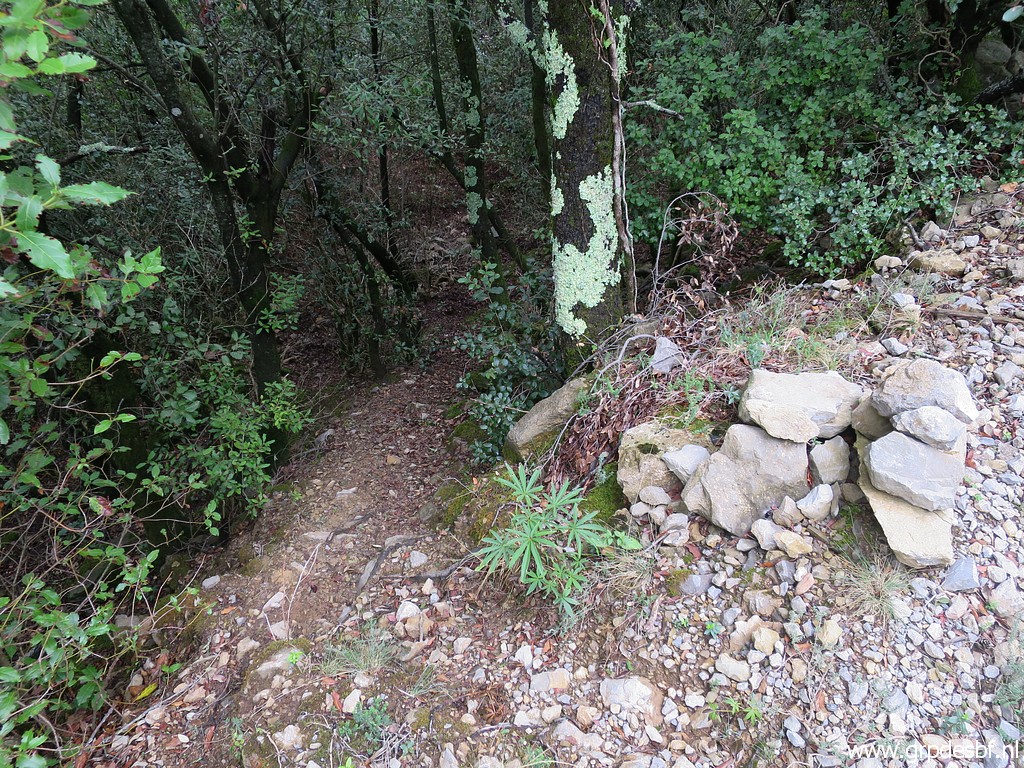 | The entrance into the forest is marked with a cairn. (click photo to enlarge) |
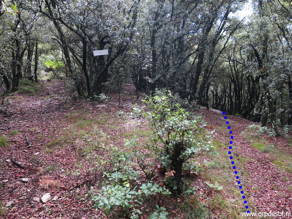
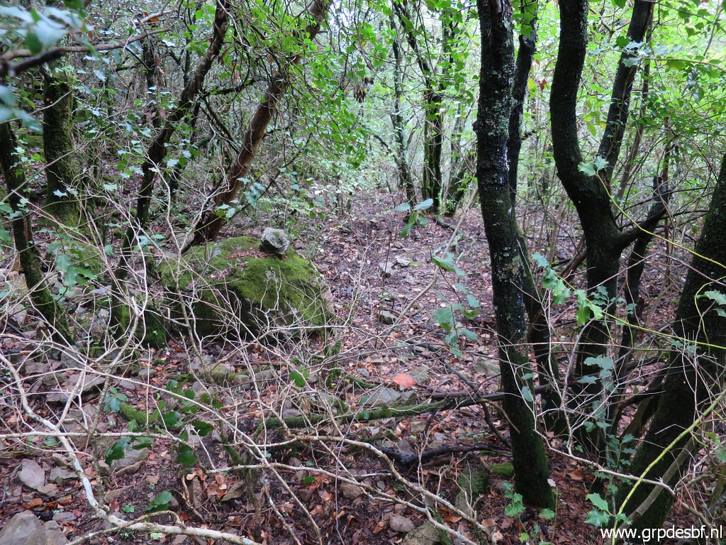 | I descend but soon there is no recognizable trail and the cairns disappear aloso. So I give up and return to the mountain road. (click photo to enlarge) |
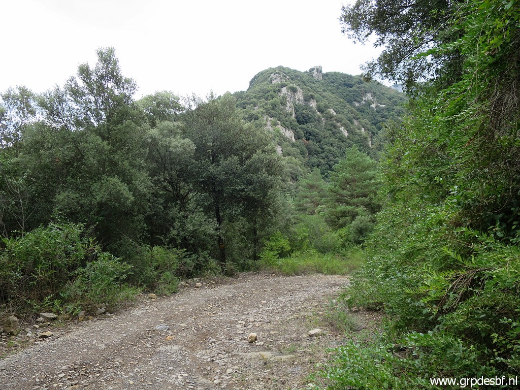 | And walk back to the spot (click photo to enlarge) |
 | where the trail to Coustouges descends into the forest. (click photo to enlarge) |
 | Descending through the forest (click photo to enlarge) |
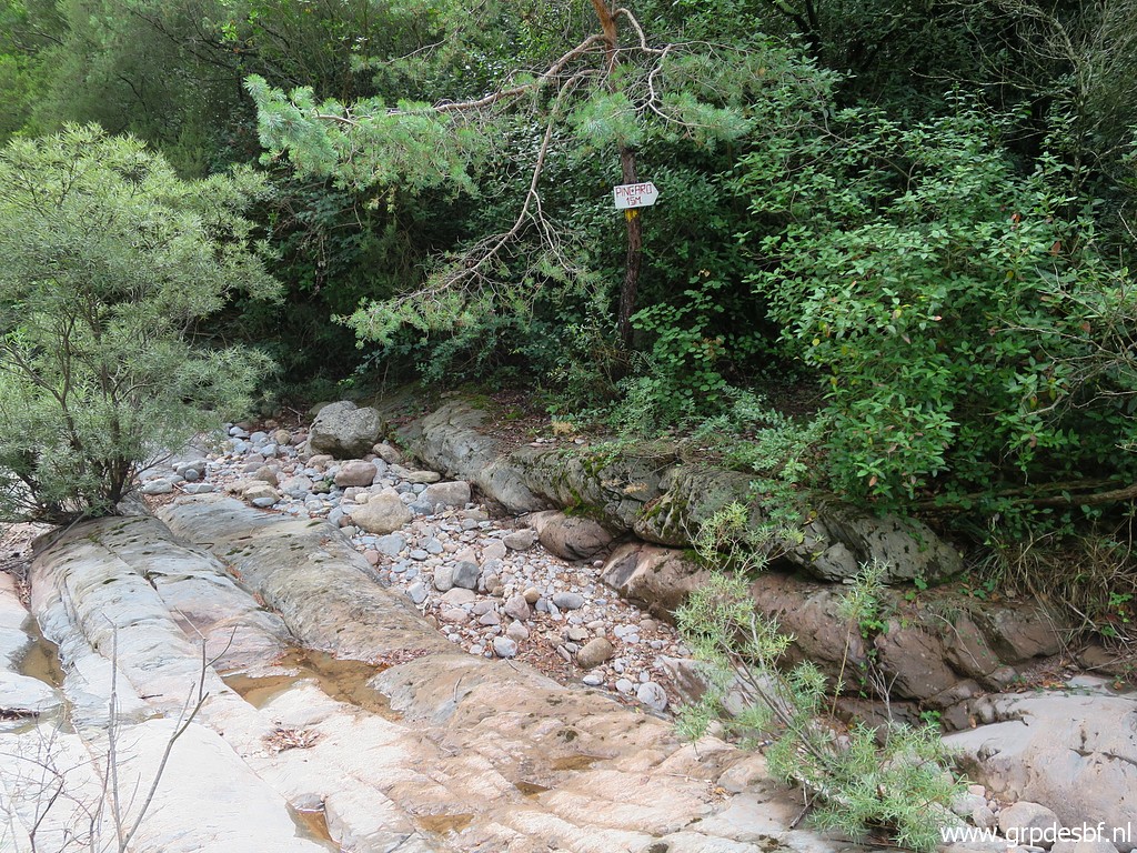
 | to the dry streambed of La Muga (click photo to enlarge) |
 | and further on - after ± 115m - entering the forest again (click photo to enlarge) |
 | with help of this waysign. (click photo to enlarge) |
 | And climbing back towards bm540 (click photo to enlarge) |
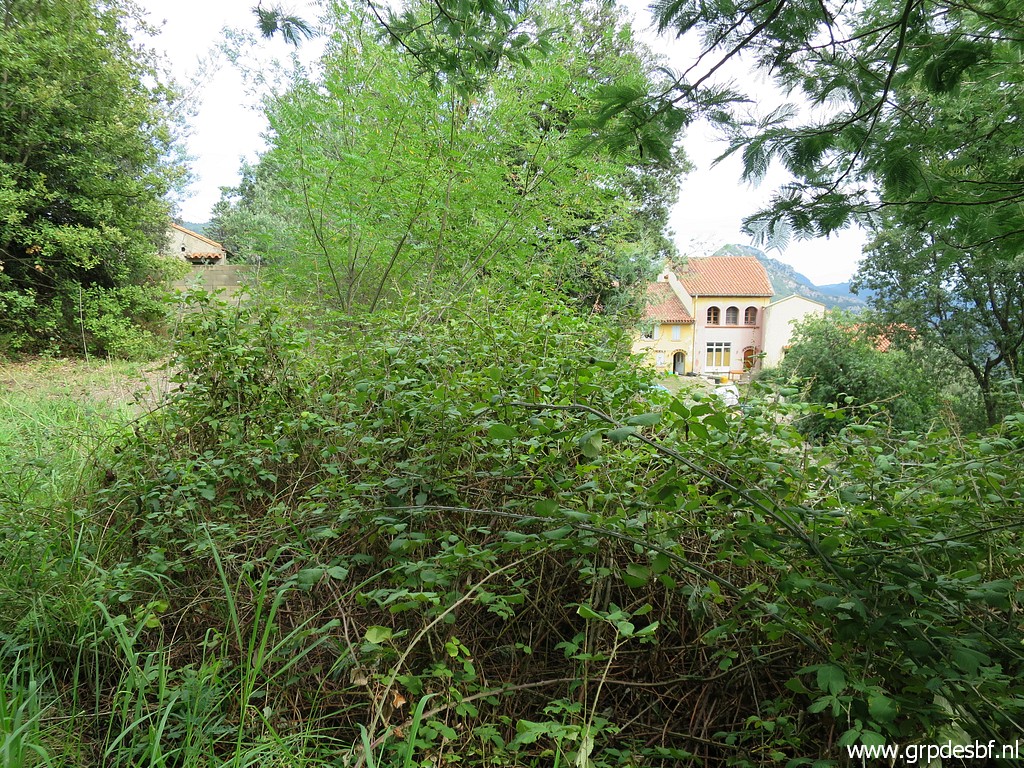
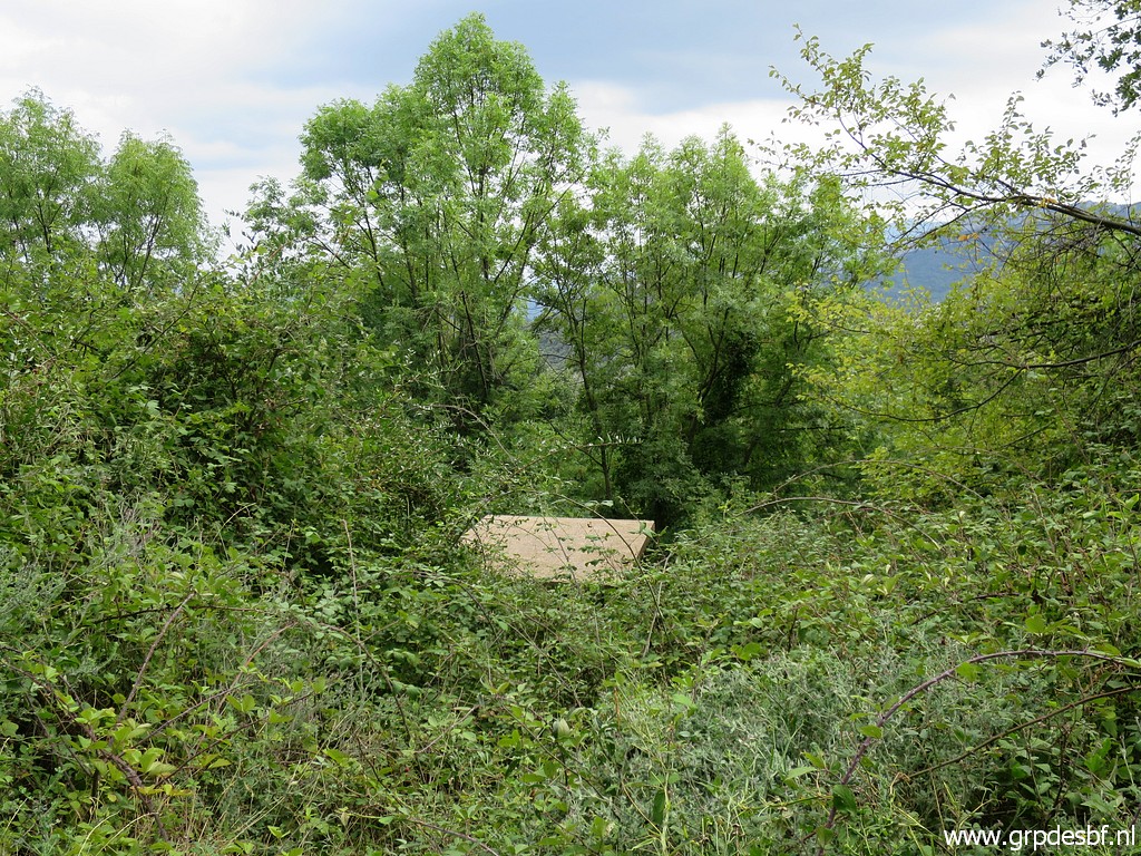 | and walking back to Can d'Amunt. This picture: close to Can d'Amunt, this is the roof of a water-reservoir. (click photo to enlarge) |
 |
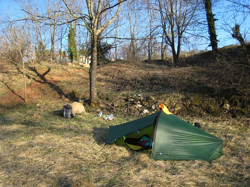
which you can see on this picture of 18-4-2007 in the background. I camped here with Jan-Willem and we were lucky to get water from that reservoir. The terrain has now got overgrown with bamble bushes. |
 | Back at Can d'Amunt (click photo to enlarge) |
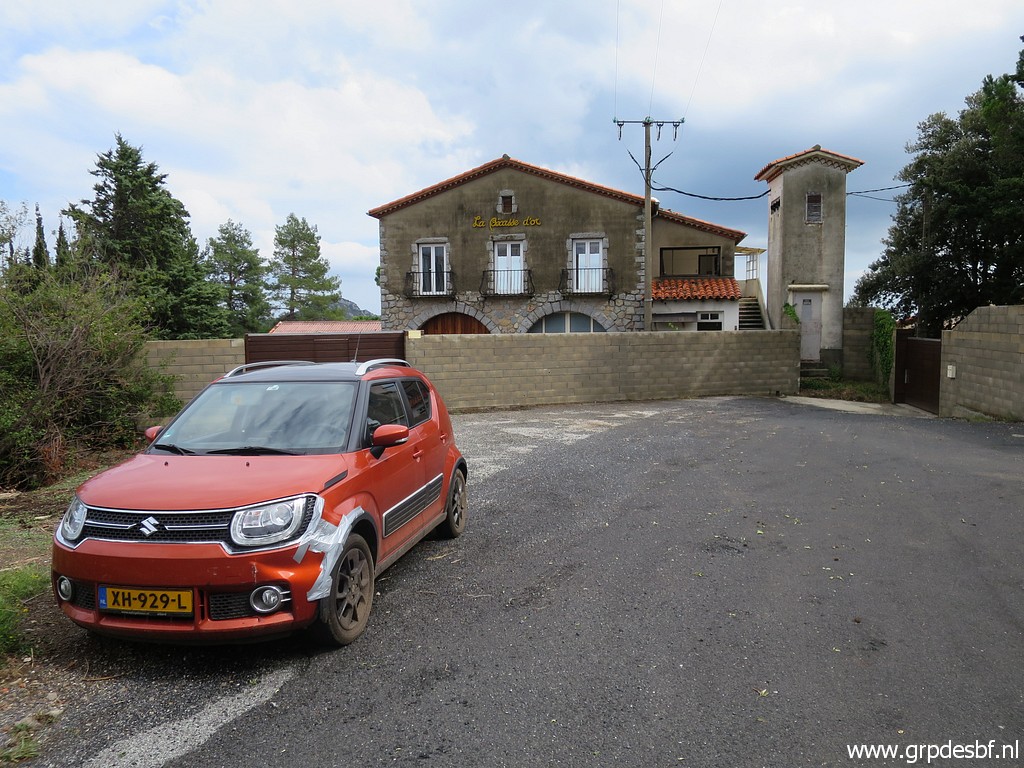 | and my car. (click photo to enlarge) |
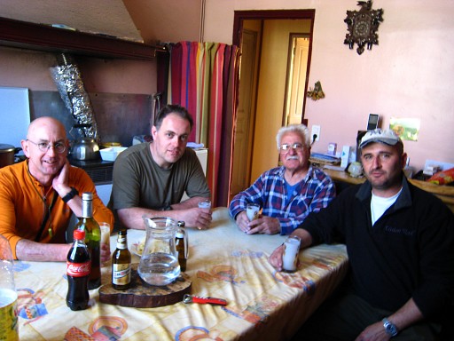
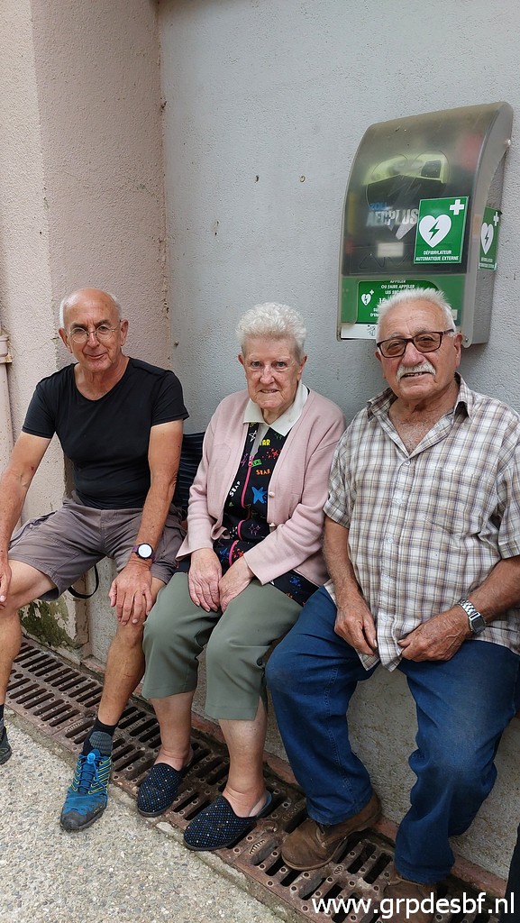 | Then - in Coustouges - an unexpected meeting with Jean and Conchita Iglesias. I was too shy to bell at their doorbell but then I spotted them watching the petanque-game in the village. It took Jean a moment to recognize me and then he exclaimed: "l'Hollandais !". Jean guided me on 18-3-2009 to bm342, together with his son Marc and a friend of his, a trip I cherish ever since. (click photo to enlarge) |
 | I was so kindly invitated to their house, treated with dessert and wine and also their son Marc was immediately called. (click photo to enlarge) |
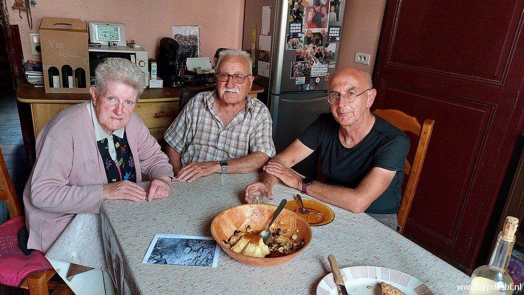 | And so we had our reunion after 13 years. (click photo to enlarge) |
 |
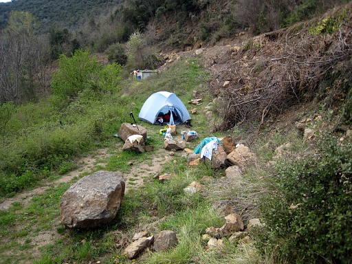
To compare: this is the picture of the 'ski-après' of our trip of 18-3-2009 |
 | I said it earlier, I am in a sentimental-journey mood. I also wanted to visit the spot behind the cemetery where I camped twice. (click photo to enlarge) |
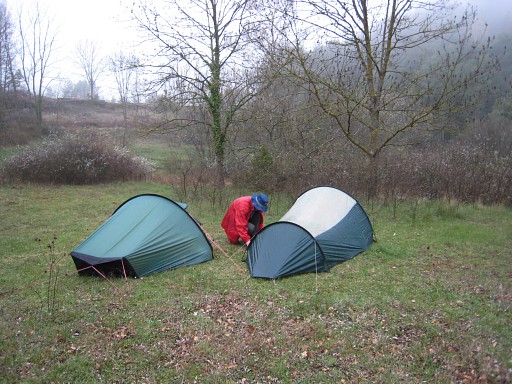 |
The first time was on 6-4-2008 with Jan-Willem Doomen. |
 |
And the second time on 17-3-2009. the day before I was guided by Jean Iglesias to bm542. |
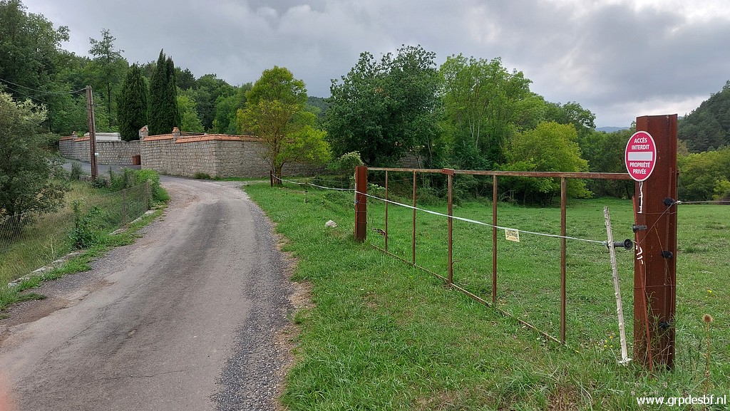
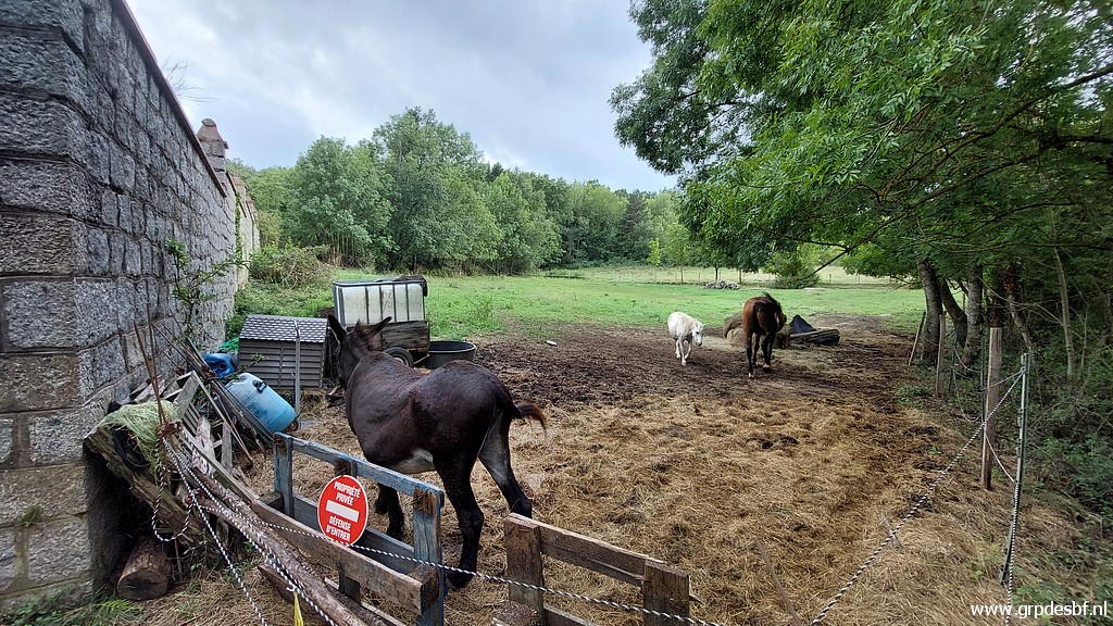 | Now it's a horse meadow. (click photo to enlarge) |
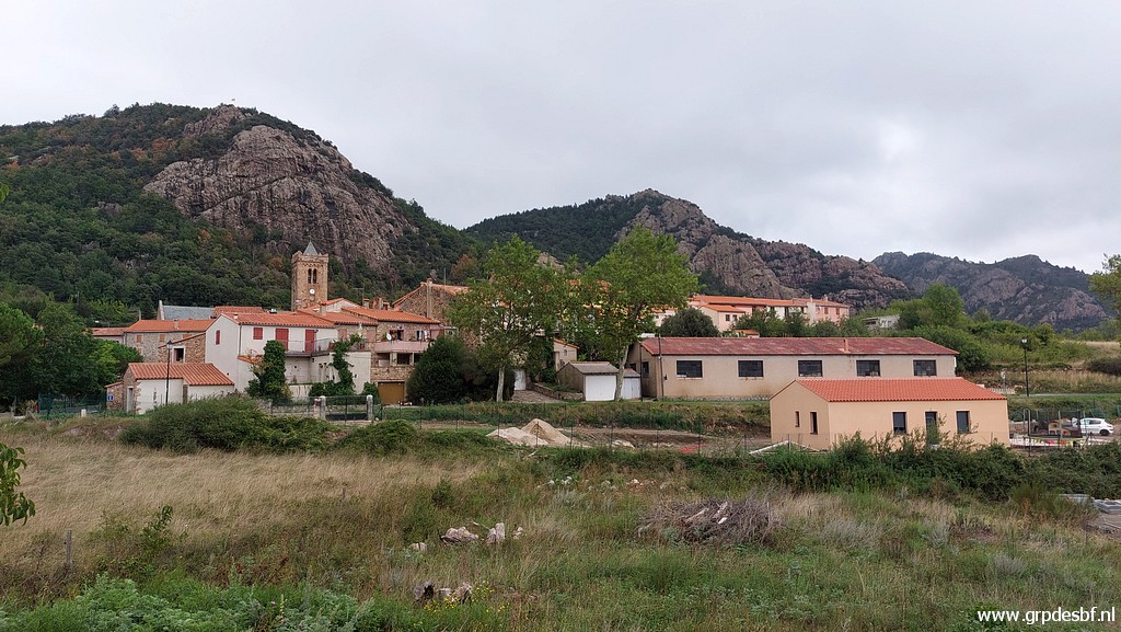 | Last picture of Coustouges before returning to the camping. (click photo to enlarge) |