|
The
bordermarkers of the Pyrenees : the GRPdesBF
|
|||||||||||||||||||||||||||||||||||||||||||||||||
| - stage 29 - Col du Portillon - Plan de Cigalèra (bm366-404)  previous
stage next stage previous
stage next stage  |
 |
||||||||||||||||||||||||||||||||||||||||||||||||
 |
|||||||||||||||||||||||||||||||||||||||||||||||||
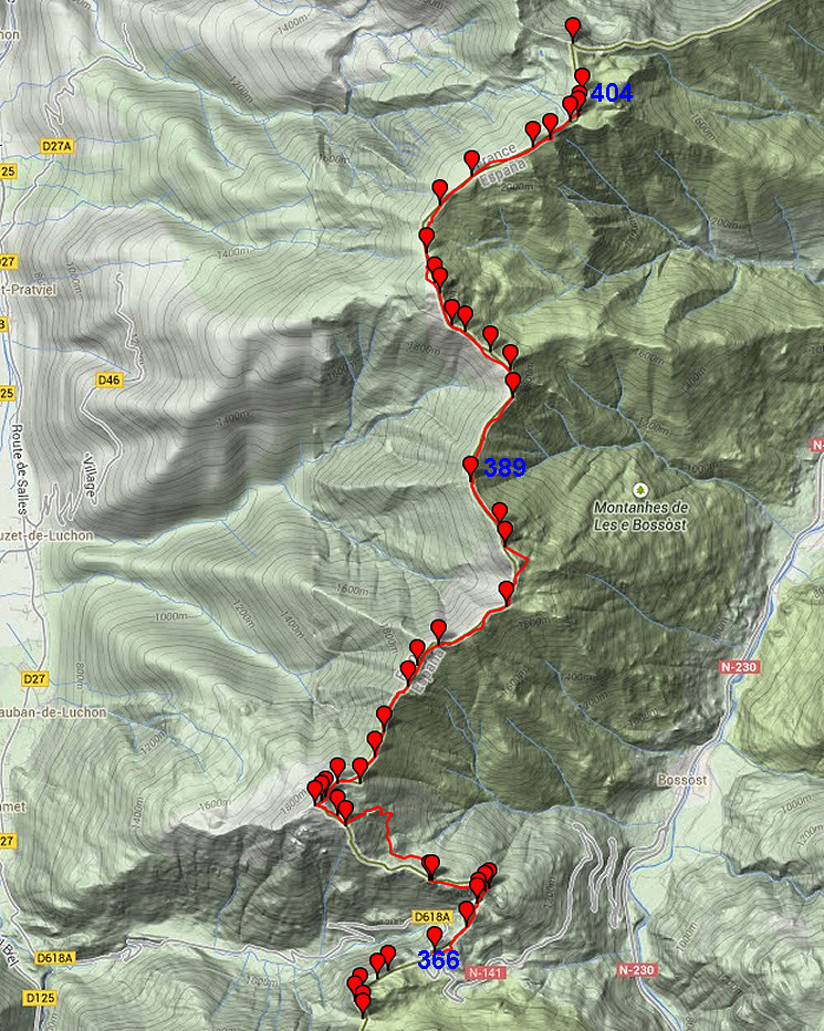
| Only
the bordermarkers along this stage are shown (and some adjoining ones).
The main route is red,
the variants have other colors. The main route provides a smooth
on-going route along most bordermarkers, the variants give access to
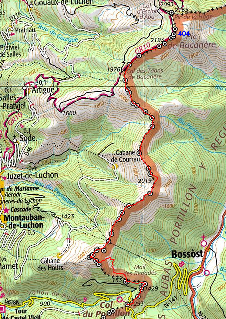
the remaining bordermarkers. See the GRPdesBF-principles. Click here for an fullscreen interactive map. In short A long trip mainly on top of the borderridge, high above the valleys of Bagnères-de-Luchon (France) and the Garonne (Spain). The first part - from Col du Portillon climbing through the forest and uphill to bm376 - requires some directions. From bm376 to bm404 it's easy: just follow the ridge from bm to bm. Trails will help you. Considerations Walking on the ridge can be dangerous in bad weather. Be careful. Water is scarce on this stage. There are two sources: 1. the beginning of a stream near the cabin 100m N of bm373 2. ± 150m W of bm397 along the GR10 Spots to bivouac: - west of bm395, downhill near the Cabanes de Peyrehitte where one of the cabins seems to be reserved for hikers (but apparently lacks table and beds) - near bm404. If you continue on the next stage on the main route, you will reach two cabins: Cabanes des Courraux (± 1h) and Cabane Artiguessans (15 min. further on), both providing shelter for hikers. |
|||||||||||||||||||||||||||||||||||||||||||||||||
| Update
2018: the route along bm367-373 will become a variant. A dirtroad from
bm366 to the cabane north of bm373 will become part of the main route.
That is nicer for the ones who don't want to cover all the
bordermarkers and prefer a smooth progression along the border. The
variant will be incorporated in the next update of this page (autumn
2018) |
|||||||||||||||||||||||||||||||||||||||||||||||||
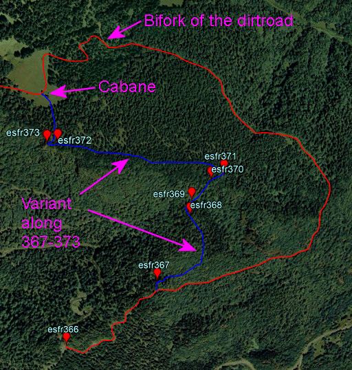 |
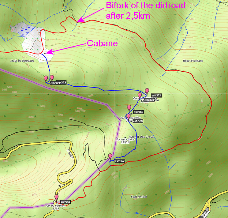
This is preview of the variant versus the main route |
||||||||||||||||||||||||||||||||||||||||||||||||
 |
|||||||||||||||||||||||||||||||||||||||||||||||||
Factsheet
Gps-files needed
Version 03 August 2015. If you have any correction, suggestion etcetera -> please email me: eefberns@grenspalen.nl MAPS AND DIRECTIONS You might check the relevant webpages in the 'All markers'-section and 'All my trips'-section for more pictures of the bordermarkers and wayfinding-issues. Print your own maps It's easy to print your own - custom made - maps with the GRPdesBF-route and the bordermarkers on them. See: Print your own maps |
|||||||||||||||||||||||||||||||||||||||||||||||||
 |
|||||||||||||||||||||||||||||||||||||||||||||||||
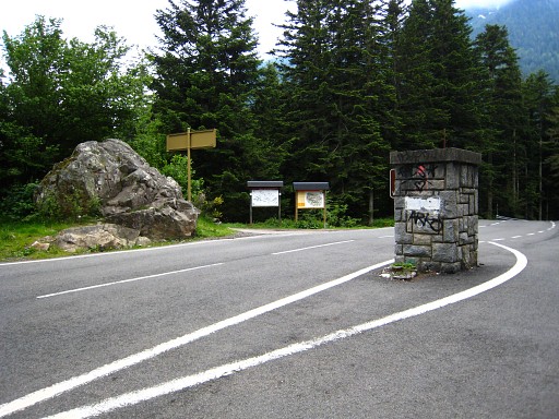 |
Bm366 (the rock to the left), from some
distance, showing the Col du Portillon. The pillar in the middle of the road can be considered is an unnumbered marker. The borderline comes from the background along the white stripes until this marker. Then the borderline crosses the road to bm366. |
||||||||||||||||||||||||||||||||||||||||||||||||
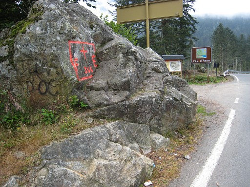
|
Bm366 A few meters beyond bm366, go left on the Spanish dirtroad and follow it E-NE. |
||||||||||||||||||||||||||||||||||||||||||||||||
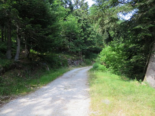 |
After ± 450m on the dirtroad, there is an open place to the left where a forestroad. About 75m further, you can enter the forest on a path towards bm367. That spot is visible on this picture (rocky roadside) |
||||||||||||||||||||||||||||||||||||||||||||||||
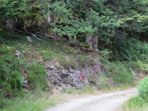 |
and better on this zoom-in. In july 2015 I made waymarks and cairns to guide you to bm367. Update 2018: thats's where the variant along 367-373 will start. The main route will continue ± 2km along the dirtroad until a bifork. Take the left fork climbing to a a meadow with the cabane. See the map above. |
||||||||||||||||||||||||||||||||||||||||||||||||
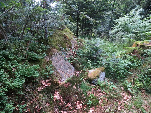
|
Bm367. Then continue on the vague trial leading underneath a rocky hilltop. |
||||||||||||||||||||||||||||||||||||||||||||||||
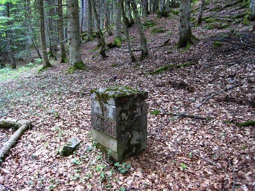
|
You will descend to a sort of pass/valley but first find bm368. | ||||||||||||||||||||||||||||||||||||||||||||||||
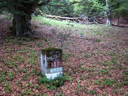
|
Then after 50m (best be done by circling the next small hilltop on its left side) you'll find in a muddy valley bm369. | ||||||||||||||||||||||||||||||||||||||||||||||||
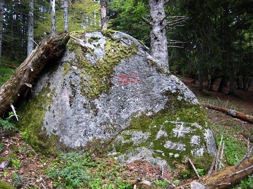
|
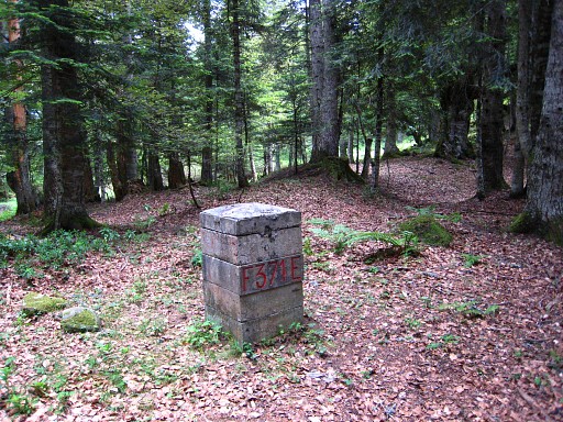
From bm369, the borderridge is less clear but there are still red
stripes leading you - higher up - to bm370 |
||||||||||||||||||||||||||||||||||||||||||||||||
|
with already in sight ± 50m further: bm371. Then go to the left (=W), still following the stripes until you loose them or they vanish. The ridge is getting again more distinct but remember to keep - further on - a bit to the left of the ridge. |
||||||||||||||||||||||||||||||||||||||||||||||||
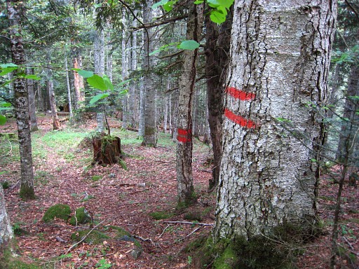 |
Keep an eye on the double red stripes for your navigation. |
||||||||||||||||||||||||||||||||||||||||||||||||
|
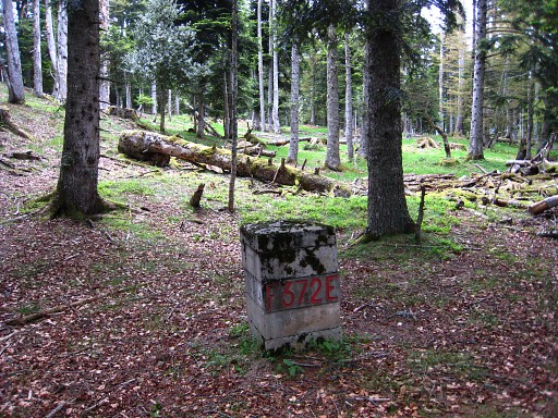
Otherwise you might miss bm372 which is ± 600m from bm371. | ||||||||||||||||||||||||||||||||||||||||||||||||
|
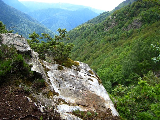
Bm373 is on a rocky outcrop, a little climb ± 40m to the W. |
||||||||||||||||||||||||||||||||||||||||||||||||
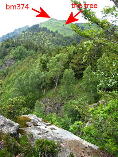 |
Bm373, with a view
forward to bm374. Don't mind 'the tree'. You will need some directions to get from here to bm374 uphill. First: from bm373, descend N to a cabane in an open green space. Update 2018: at the cabane the new variant will end. |
||||||||||||||||||||||||||||||||||||||||||||||||
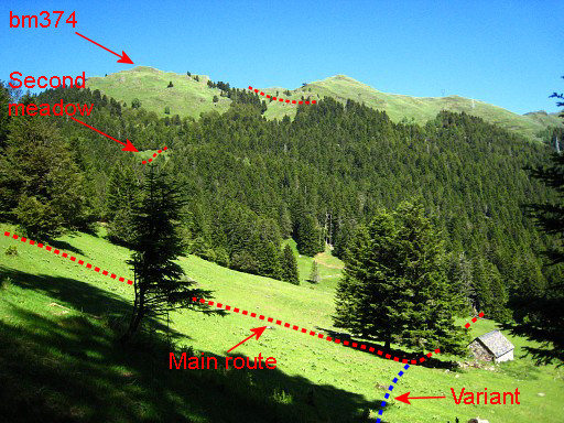 |
Update 2018: this picture already shows the junction of the variant along 367-373 and the main route. There's a stream in the NW-corner of the meadow. Keep in mind that the next stream/source is beyond bm397 along the GR10-trail, a half day of walking further. Then, you have to take a vague cattle track just south of the cabane which bring you to the SW-corner of the meadow. |
||||||||||||||||||||||||||||||||||||||||||||||||
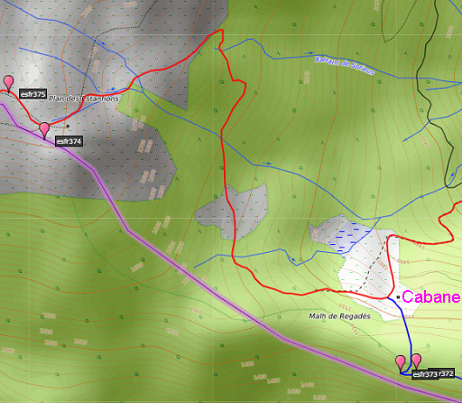 |
In the forest
the track gets a forest road becoming a trail again which brings you with a slight curve to the
S-corner of the second meadow. From the second meadow - at its N-side - , there is an entry point into the forest going N: Climb along this forest-road which becomes a trail. The trail leaves the forest. Take after ± 20-30m a side-trail going SW, climbing to a small valley, continuing at the other end of this valley and climbing (soon no trail) SW to a tree and cabane underneath a small hilltop with bm374. |
||||||||||||||||||||||||||||||||||||||||||||||||
|
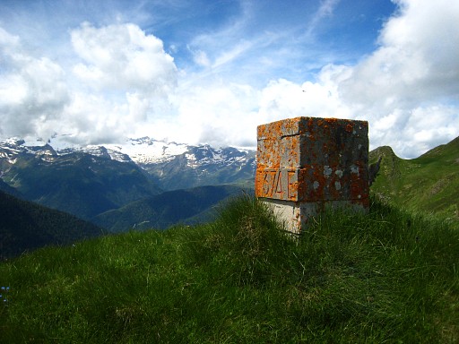
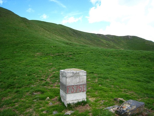
Bm374 is on a small hilltop ± 70m to the SW of the cabin. |
||||||||||||||||||||||||||||||||||||||||||||||||
|
Then uphill NNW along a trail to bm375. Then further uphill NWW to |
||||||||||||||||||||||||||||||||||||||||||||||||

|
Bm376 From this bm, the border makes a sharp bend to the right and follows the ridge to the NE. And that's the course of the main route for the rest of this stage. It's up and down from bm to bm, mostly on well (cattle-)tracks, sometimes going underneath a hilltop. Though the average height remains for a large part ± 2000m, there's a considerable denivellation with all this going up & down. |
||||||||||||||||||||||||||||||||||||||||||||||||
|
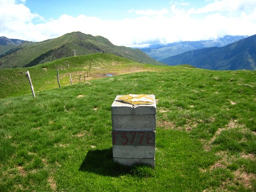
Bm377 |
||||||||||||||||||||||||||||||||||||||||||||||||
|
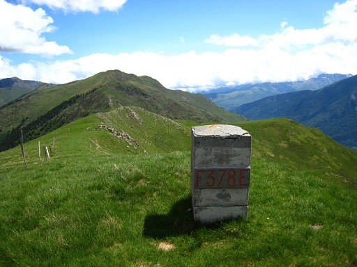
Bm378 |
||||||||||||||||||||||||||||||||||||||||||||||||
|
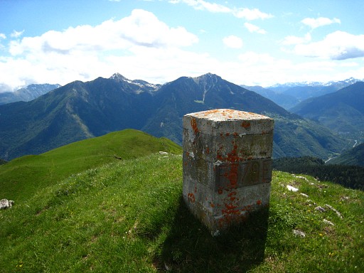
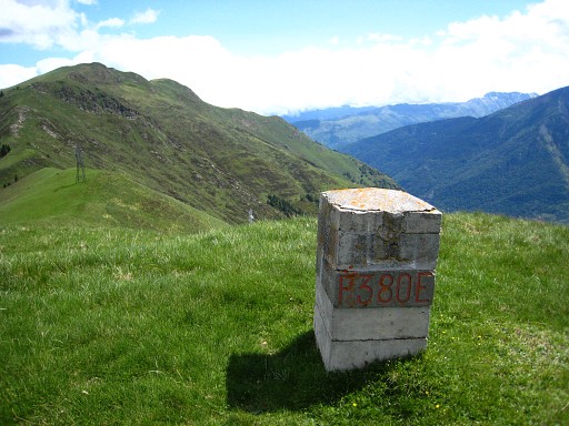
Bm379 |
||||||||||||||||||||||||||||||||||||||||||||||||
|
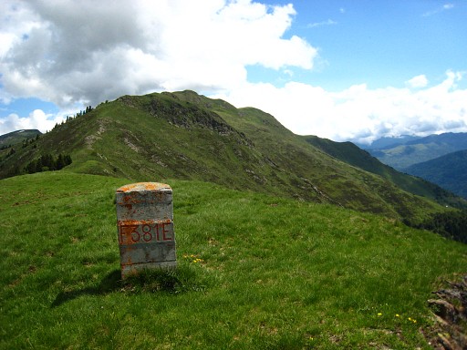
Bm380 |
||||||||||||||||||||||||||||||||||||||||||||||||
|
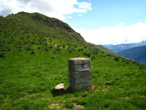
Bm381 |
||||||||||||||||||||||||||||||||||||||||||||||||
|
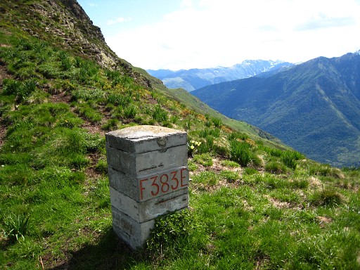
Bm382 |
||||||||||||||||||||||||||||||||||||||||||||||||
|
Bm383 |
||||||||||||||||||||||||||||||||||||||||||||||||
|
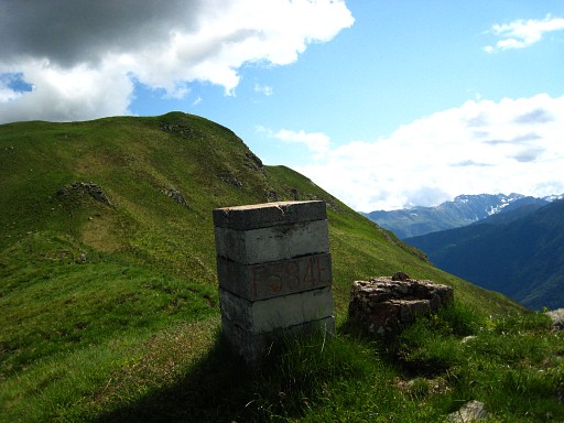
Bm384, with the
remains of the former bordermarker. These remains - of the original masonry bordermarkers - are still present at more spots. |
||||||||||||||||||||||||||||||||||||||||||||||||
|
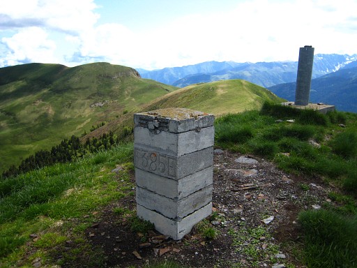
Bm385 |
||||||||||||||||||||||||||||||||||||||||||||||||
|
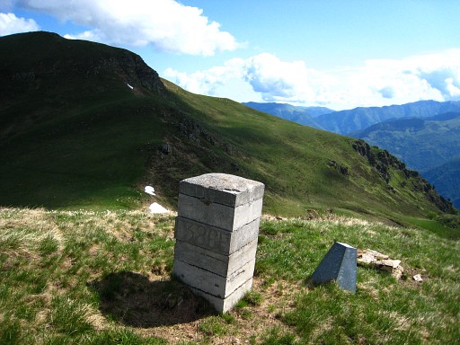
Bm386 Further on, you don't have to climb the hilltop of Tuc de Bidur but can traverse it on the E-side.cabane des courrauscabane des courrauscabane des courraus |
||||||||||||||||||||||||||||||||||||||||||||||||
|
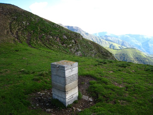
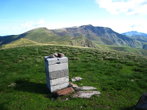
Bm387 |
||||||||||||||||||||||||||||||||||||||||||||||||
|
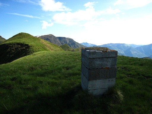
Bm388 |
||||||||||||||||||||||||||||||||||||||||||||||||
|
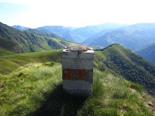
Bm389 |
||||||||||||||||||||||||||||||||||||||||||||||||
|
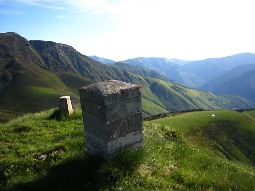
Bm390 |
||||||||||||||||||||||||||||||||||||||||||||||||
|
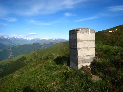
Bm391 |
||||||||||||||||||||||||||||||||||||||||||||||||
|
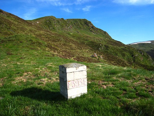
Bm392 |
||||||||||||||||||||||||||||||||||||||||||||||||
|
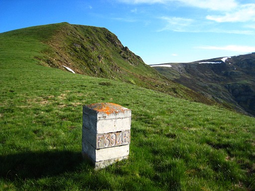
Bm393 |
||||||||||||||||||||||||||||||||||||||||||||||||
|
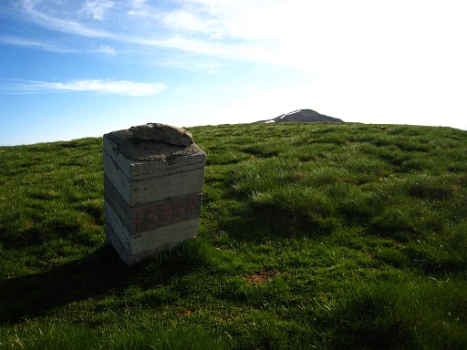
Bm394 |
||||||||||||||||||||||||||||||||||||||||||||||||
|
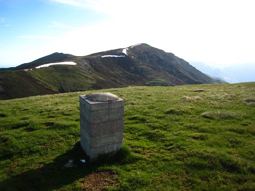
Bm395 The Procès-Verbal describes the borderline between bm395 and 396 as a curve directed towards Spain. For a long time, the borderline between both markers was shown on the 25K IGN-map as a straight line. Jean Sermet - the legendary bordercommissioner - uttered his indignation on this repeated error in this text. |
||||||||||||||||||||||||||||||||||||||||||||||||
|
Bm396 |
||||||||||||||||||||||||||||||||||||||||||||||||
|
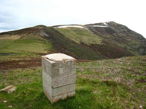
Bm397 In need for fresh water? Then - in the next valley (Col des Taons de Bacanère, visible on this picture) - pick up the GR10-trail and go SW for 350m and you'll reach a source. From that source, it's 500m to the SSW to Cabane de Peyrehitte where a hiker's shelter is available and plenty space for a bivouac. |
||||||||||||||||||||||||||||||||||||||||||||||||
|
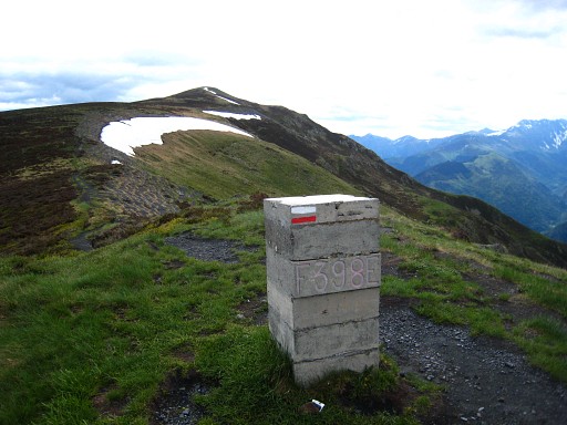
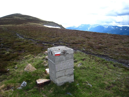
Bm398 The GR10-trail has already reached the ridge and will follow it until bm405. |
||||||||||||||||||||||||||||||||||||||||||||||||
|
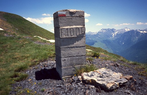
Bm399 |
||||||||||||||||||||||||||||||||||||||||||||||||
|
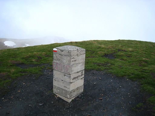
Bm400 |
||||||||||||||||||||||||||||||||||||||||||||||||
|
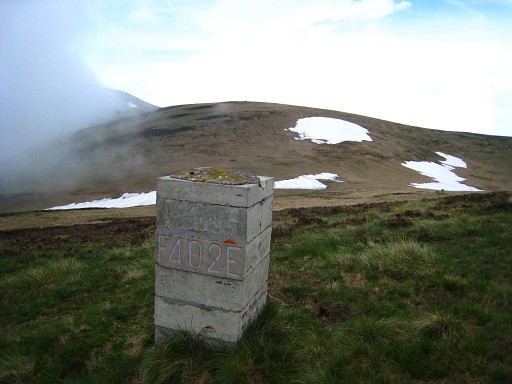
Bm401 |
||||||||||||||||||||||||||||||||||||||||||||||||
|
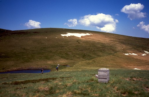
Bm402 |
||||||||||||||||||||||||||||||||||||||||||||||||
|
Bm403 |
||||||||||||||||||||||||||||||||||||||||||||||||
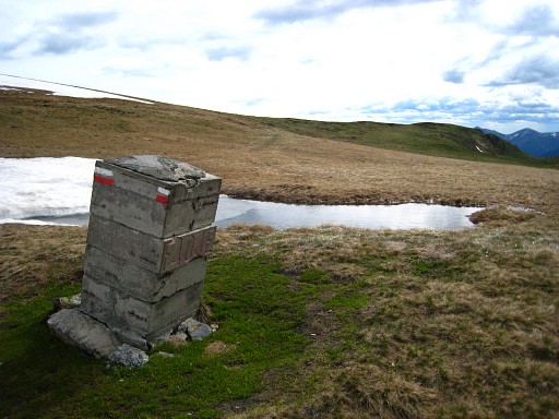
|
Bm404 |
||||||||||||||||||||||||||||||||||||||||||||||||
 previous
stage next stage previous
stage next stage  |
|||||||||||||||||||||||||||||||||||||||||||||||||
