|
The
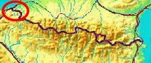
bordermarkers of the Pyrenees : all markers
 |
|
| Bordermarkers
060-072 |
 |
| Notice The pages of the day-trips may give additional information on coordinates, localisation, surroundings and access. They also show (additional) maps. Click on the date-links in the right column. |
|
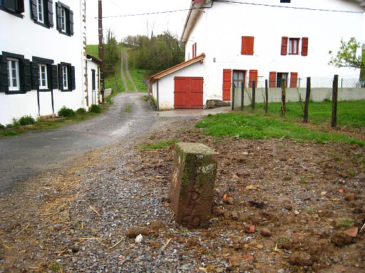 |
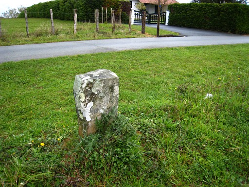
Bm060 Photographed on 20090407 (more pictures on that page) |
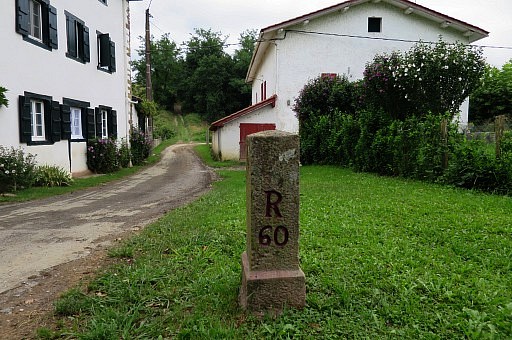 |
Bm060 Photographed on 20170721 (more pictures on that page) |
 |
Bm061 Photographed on 20090407 (more pictures on that page) |
 |
Bm061 Photographed on 20170721 (more pictures on that page) |
 |
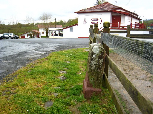
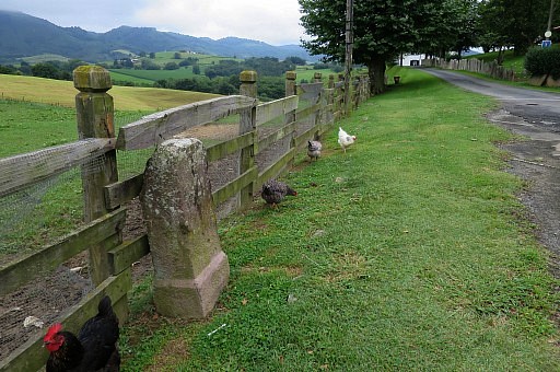
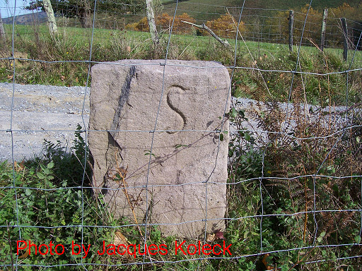
Between bm061 and bm062 - in front of a restaurant - there's another type of bordermarker. Possibly a communal bordermarker between the village of Sare (S at the other side of the bm) and Baztan, the Spanish municipality. Photographed on 20090407 (more pictures on that page) |
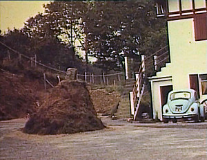 |
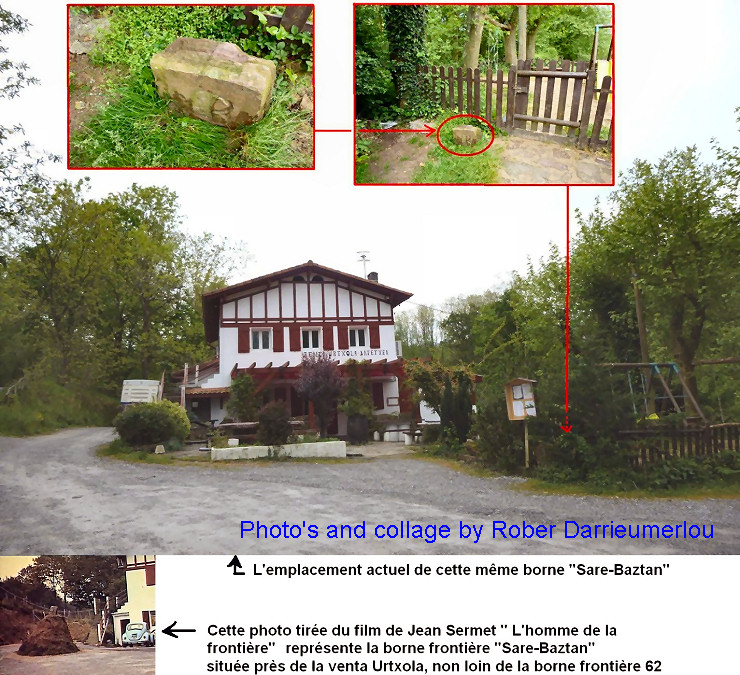
This marker had once a peculiar position: on top of a small mound. This picture comes from the documentary "L'homme de la frontière" de Luc Bazin (see the literature-page) But we had no idea where this was until Robert Darrieumerlou resolved the mystery: |
 |
|
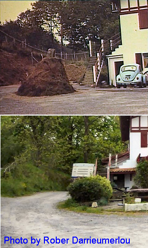 |
And if we compare the building more closely, you can see that they must be the same. |
 |
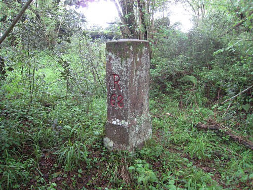
Bm062 Searched in vain on 20090407 (it's wrongly indicated on the IGN-25k-map) but found on 20100506 (more pictures on that page) |
 |
Bm062 Photographed on 20170721 (more pictures on that page) |
|
Bm062 Photographed on 20220408 (more pictures on that page) (click photo to enlarge) |
 |
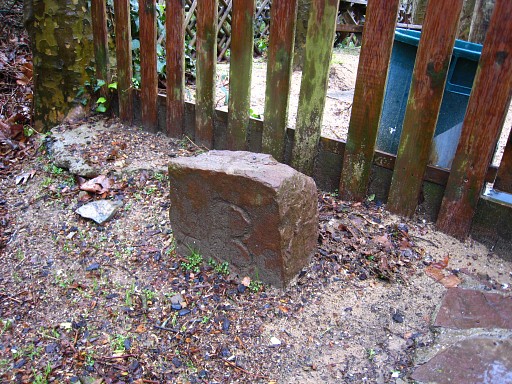
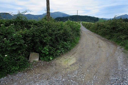
Approximately 100m W of bm063, there's another S/B-marker. Photographed on 20090407 (more pictures on that page) |
 |
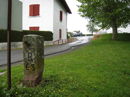
Bm063 Photographed on 20090407 (more pictures on that page) |
 | Bm063 Photographed on 20100506 (more pictures on that page) |
 |
Bm063 Photographed on 20170721 (more pictures on that page) |
 |
Bm064 Photographed on 20090407 |
 |
Bm064 Photographed on 20170721 (more pictures on that page) |
 |
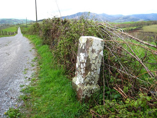
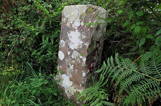
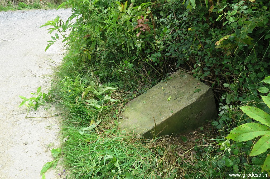
Bm065 Photographed on 20090407 (more pictures on that page) Information of Jacques Koleck: at 80 m of bm065 in the direction of bm066, there's an unnumbered intermediate bordermarker. It's 50 cm high and carries the inscriptions S and B. So that's identical to the ones between bm056 and bm057, bm061 and bm062 and between bm062-063 I guess that the S stands for Sare, the village to the north. |
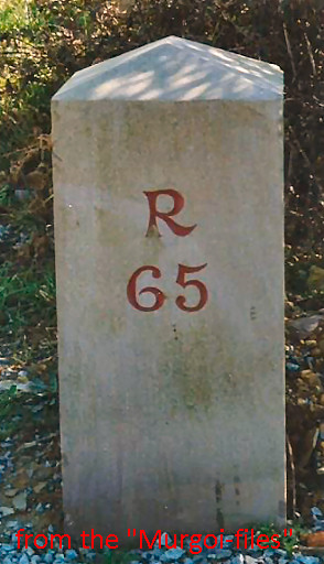 |
Picture of bm065, still standing erect. Photographed in the years 2000-2003. Source: "The Murgoi-files" of Jesús Murueta Goikoetxea |
 |
Bm065 Photographed on 20170722 (more pictures on that page) |
 |
Bm065 Photographed on 20200625 (more pictures on that page) (click photo to enlarge) |
 |
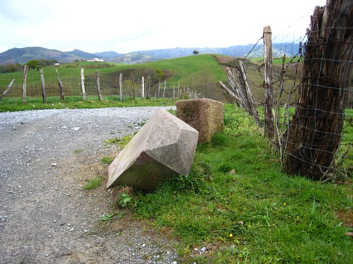
And this is another unnumbered S/B-bordermarker, about 80 meters from bm065. It's ± 50 cm high. Photo kindly provided by Jaques Koleck. |
 |
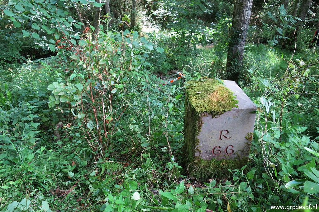
Bm066 Photographed on 20090407 (more pictures on that page) |
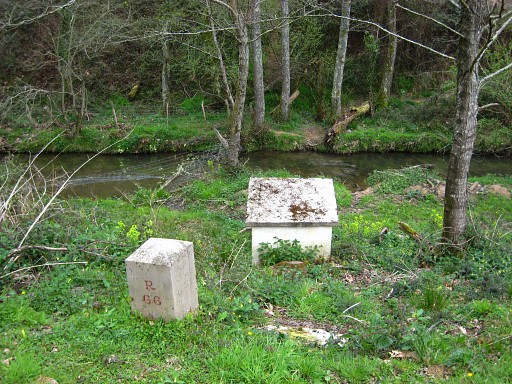 |
Bm066 Photographed on 20090408 |
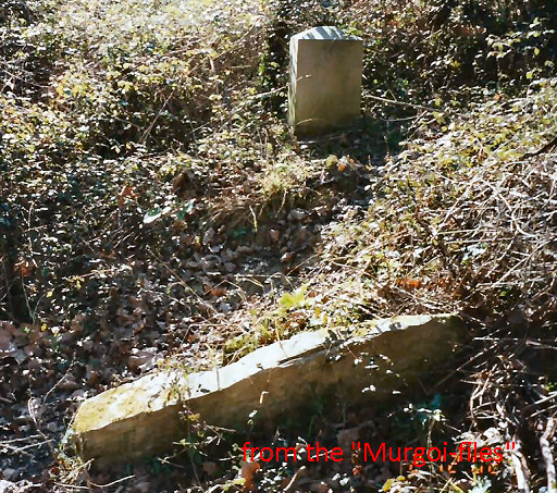 |
Picture of the original bm066, lying flat near the new bordermarker. Photographed in the years 2000-2003. Source: "The Murgoi-files" of Jesús Murueta Goikoetxea |
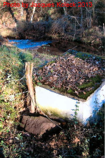 |
In 2013 Jacques Koleck found the old bm66 half buried, against the little construction. It was too heavy to turn around for a final check of the number. Sizes: 32x46x82cm + a base of 10cm. (photo by Jacques Koleck) |
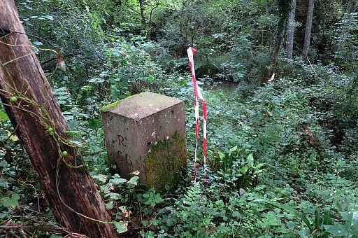 |
Bm066 Photographed on 20170722 (more pictures on that page) |
 |
Bm066 Photographed on 20200625 (more pictures on that page) (click photo to enlarge) |
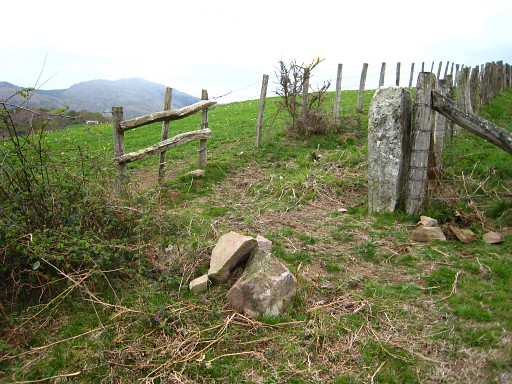 |
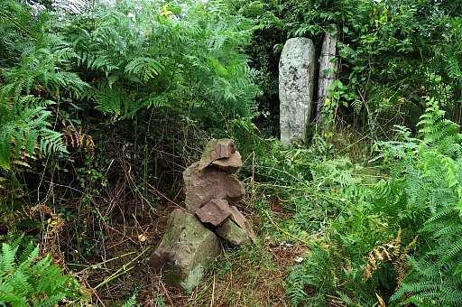
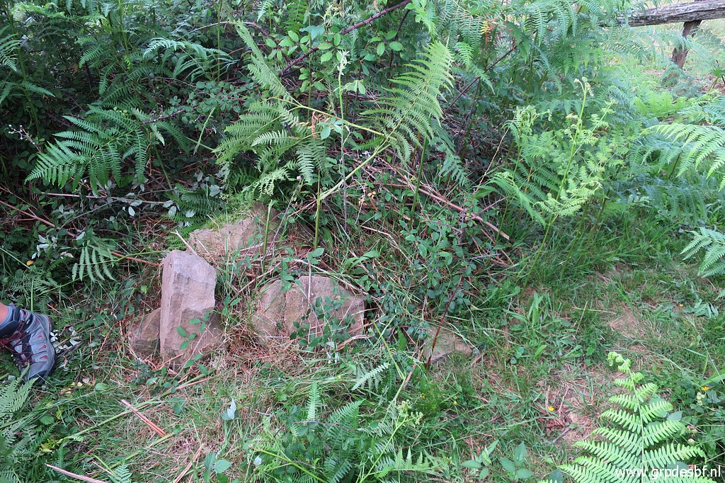
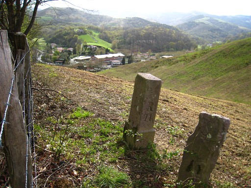
Bm067, destroyed Photographed on 20090408 (more pictures on that page) |
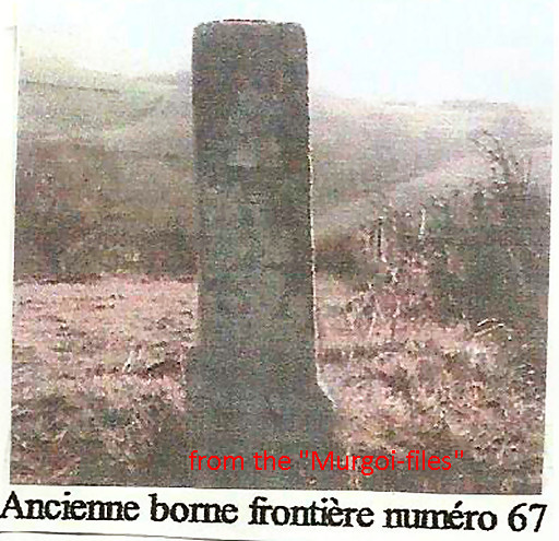 |
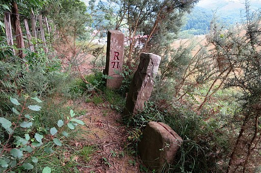
Picture of the original bm067. Source: "The Murgoi-files" of Jesús Murueta Goikoetxea It tells that the marker near the destroyed bm067 is a municipal marker. In march 2014 I have been informed by Robert Darrieumerlou that this picture originates from his website (this page). The photographer was one "Xan". See also this introduction page |
 |
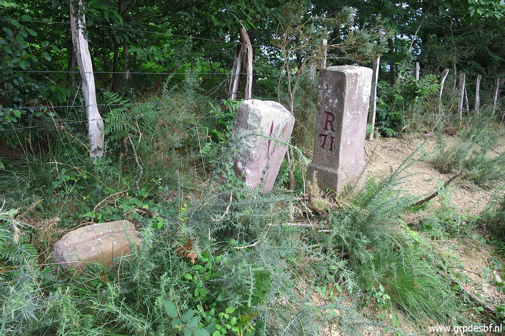
Bm067 Photographed on 20170722 (more pictures on that page) |
 |
Bm067 Photographed on 20200625 (more pictures on that page) (click photo to enlarge)Bm065 |
 |
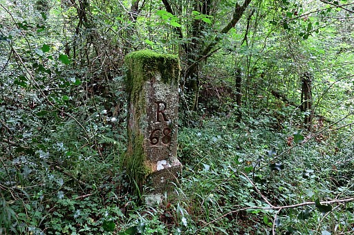
Bm068 Searched in vain on 20090408 but found on 20100506 (more pictures on that page) |
 |
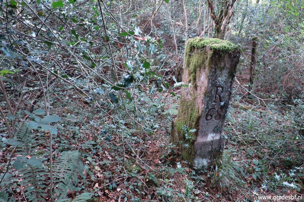
Bm068 Photographed on 20170722 (more pictures on that page) |
 |
Bm068 Photographed on 20200625 (more pictures on that page) (click photo to enlarge) |
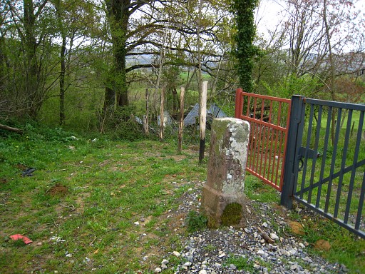 |
Bm069 Photographed on 20090408 (more pictures on that page) |
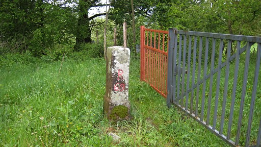 | Bm069 Photographed on 20100506 (more pictures on that page) |
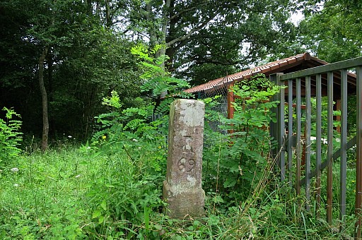 |
Bm069 Photographed on 20170722 (more pictures on that page) |
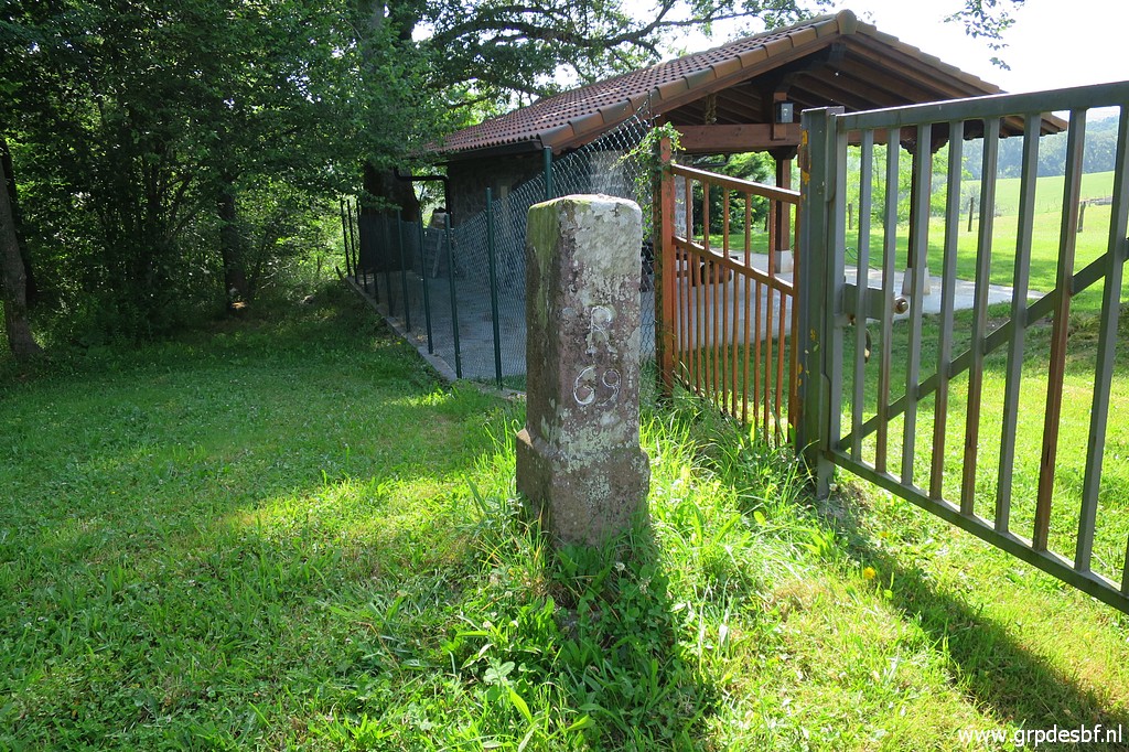 |
Bm069 Photographed on 20200625 (more pictures on that page) (click photo to enlarge) |
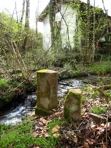 |
Bm070 Photographed on 20090408 (more pictures on that page) |
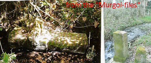 |
Picture of bm070 in a previous horizontal position. Photographed in the years 2000-2003. Source: "The Murgoi-files" of Jesús Murueta Goikoetxea |
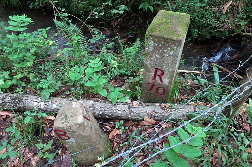 |
Bm070 Photographed on 20170722 (more pictures on that page) |
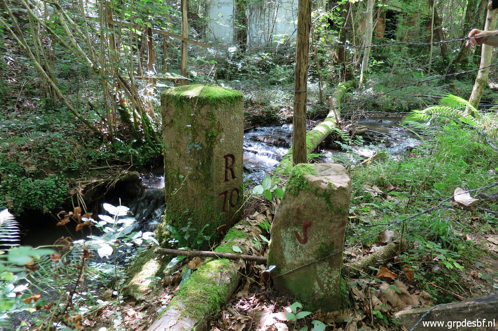 |
Bm070 Photographed on 20200625 (more pictures on that page) (click photo to enlarge) |
 |
Bm071 Photographed on 20090408 |
 |
Bm071 Photographed on 20170722 (more pictures on that page) |
 |
Bm071 Photographed on 20200625 (more pictures on that page) (click photo to enlarge) |
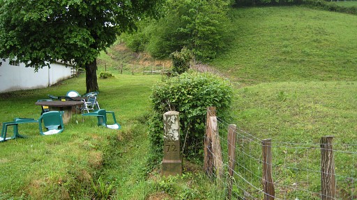 |
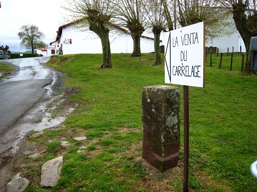
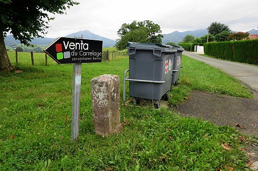
Bm072 Searched in vain (because temporarily removed because of road constructions) on 20090408 but photographed on 20100506 (more pictures on that page) According to Charles Darrieu it has been replaced a bit higher then previous. |
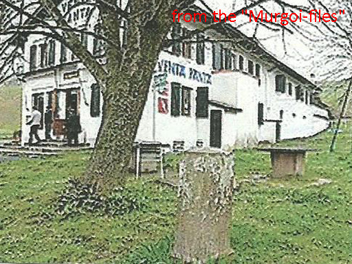 |
Picture of bm072 on its
previous location. Because of the construction of a road in front of
the venta, the bm was replaced a bit backwards. Source: "The Murgoi-files" of Jesús Murueta Goikoetxea |
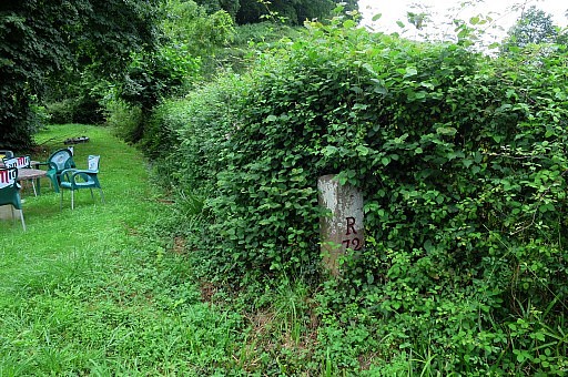 |
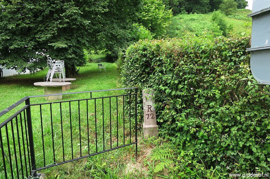
Bm072 Photographed on 20170721 (more pictures on that page) |
 |
Bm072 Photographed on 20170722 (more pictures on that page) |
 |
Bm072 Photographed on 20200625 (more pictures on that page) (click photo to enlarge) |
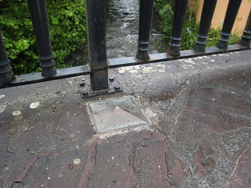 |
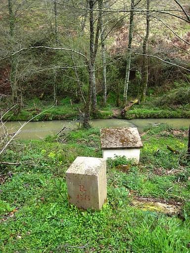
In the middle of
Dantxarinea - on the old bridge over the 'border-river' - there are
bordermarkers like this one on either side of the bridge. Photographed on 20100506 (more pictures on that page) |
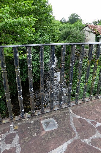 |
This is the other side. Photographed on 20170721 (more pictures on that page) |