|
The
bordermarkers of the Pyrenees : all markers
 |
|
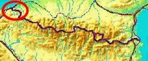
| Bordermarkers
073-085 |
 |
| Notice The pages of the day-trips may give additional information on coordinates, localisation, surroundings and access. They also show (additional) maps. Click on the date-links in the right column. |
|
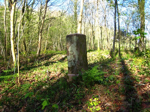 |
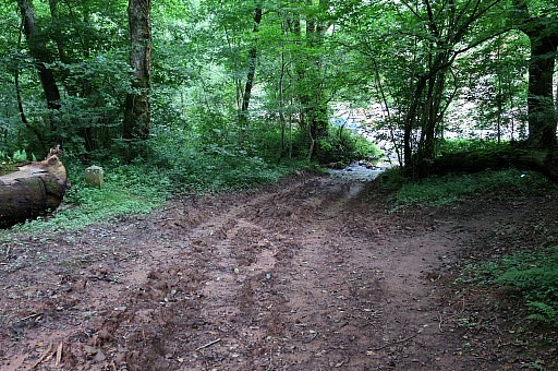
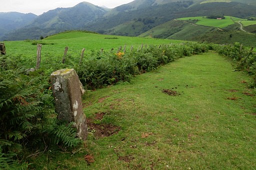
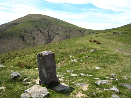
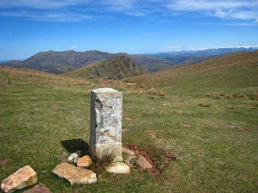
Bm073 Photographed on 20090409 (more pictures on that page) |
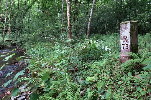 |
Bm073 Photographed on 20170722 (more pictures on that page) |
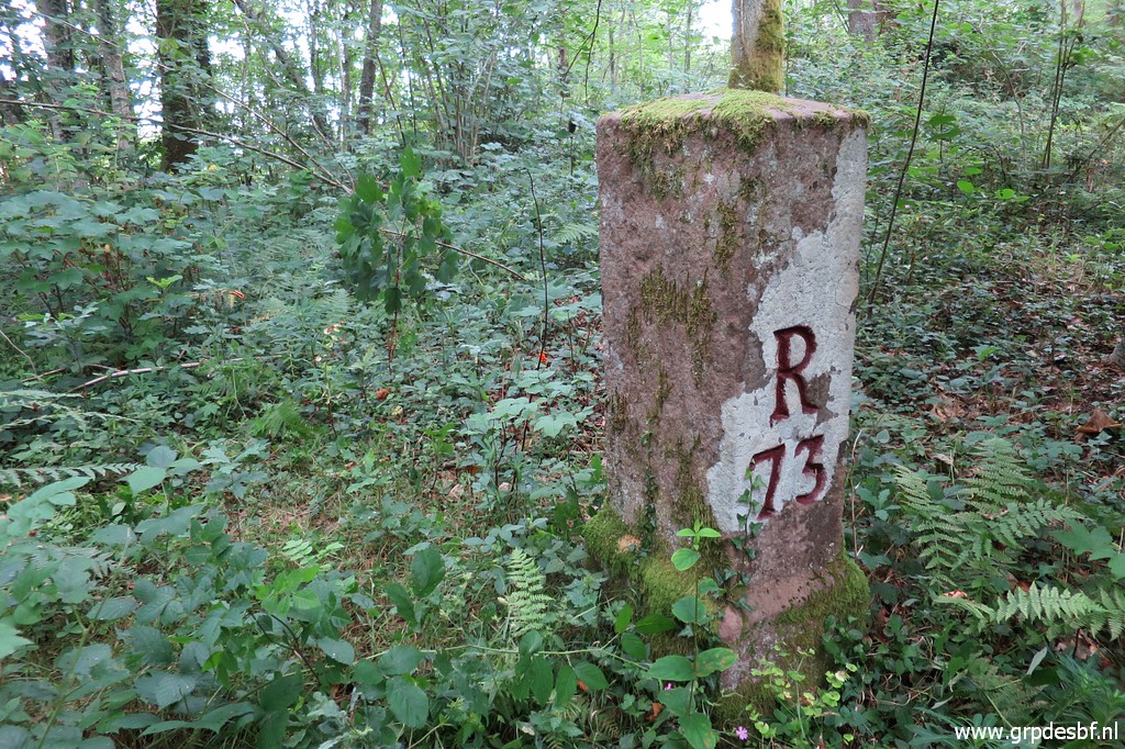 |
Bm073 Photographed on 20200625 (more pictures on that page) (click photo to enlarge) |
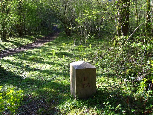 |
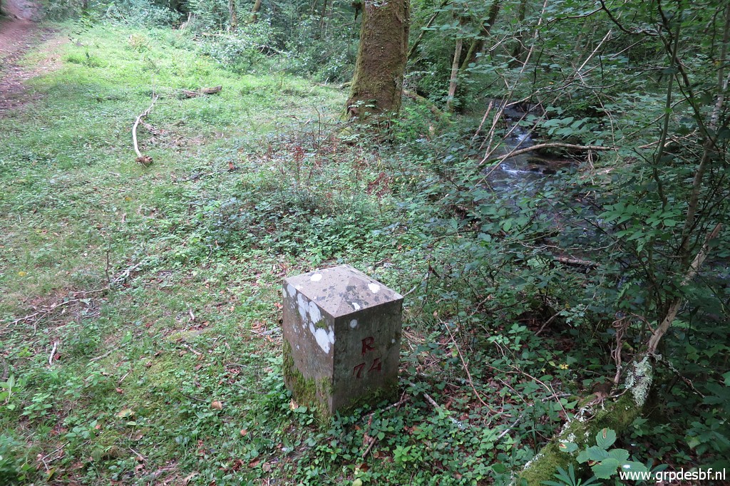
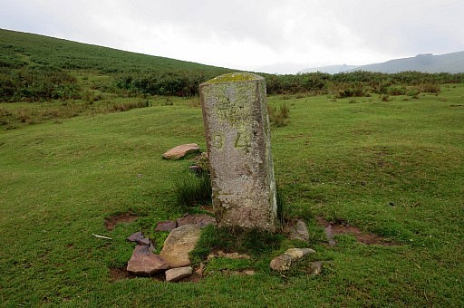
Bm074 Photographed on 20090409 (more pictures on that page) |
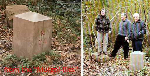 |
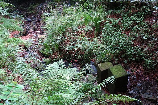
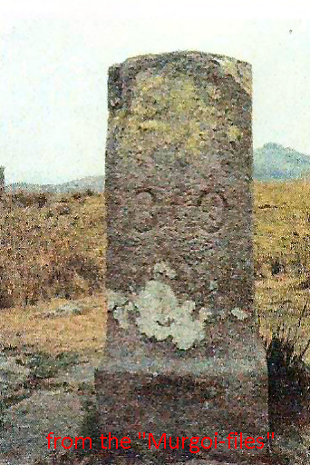
Picture of the previous bordermarker, lying flat besides the new marker. Photographed in the years 2000-2003. Source: "The Murgoi-files" of Jesús Murueta Goikoetxea |
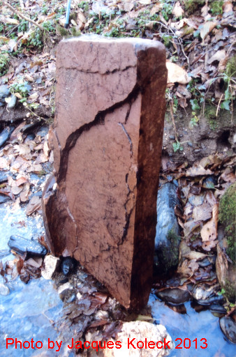 |
In 2013, Jacques Koleck found back the old bm in the stream next to the new bm. It was broken in two vertical halfs. The part that was left, contained no inscription. Sizes: 23x36x93cm + base. (photo by Jacques Koleck) |
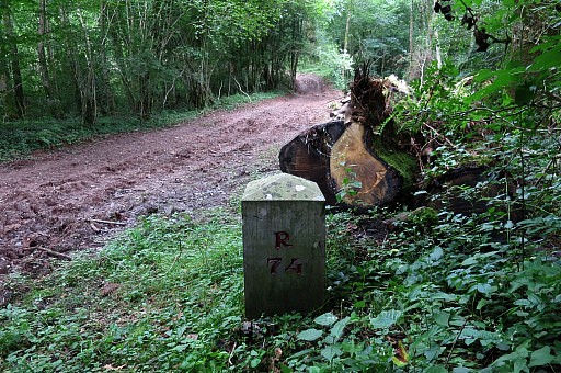 |
Bm074 Photographed on 20170722 (more pictures on that page) |
 |
Bm074 Photographed on 20170723 |
 |
Bm074 Photographed on 20200625 (more pictures on that page) (click photo to enlarge) |
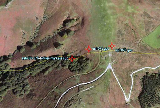 |
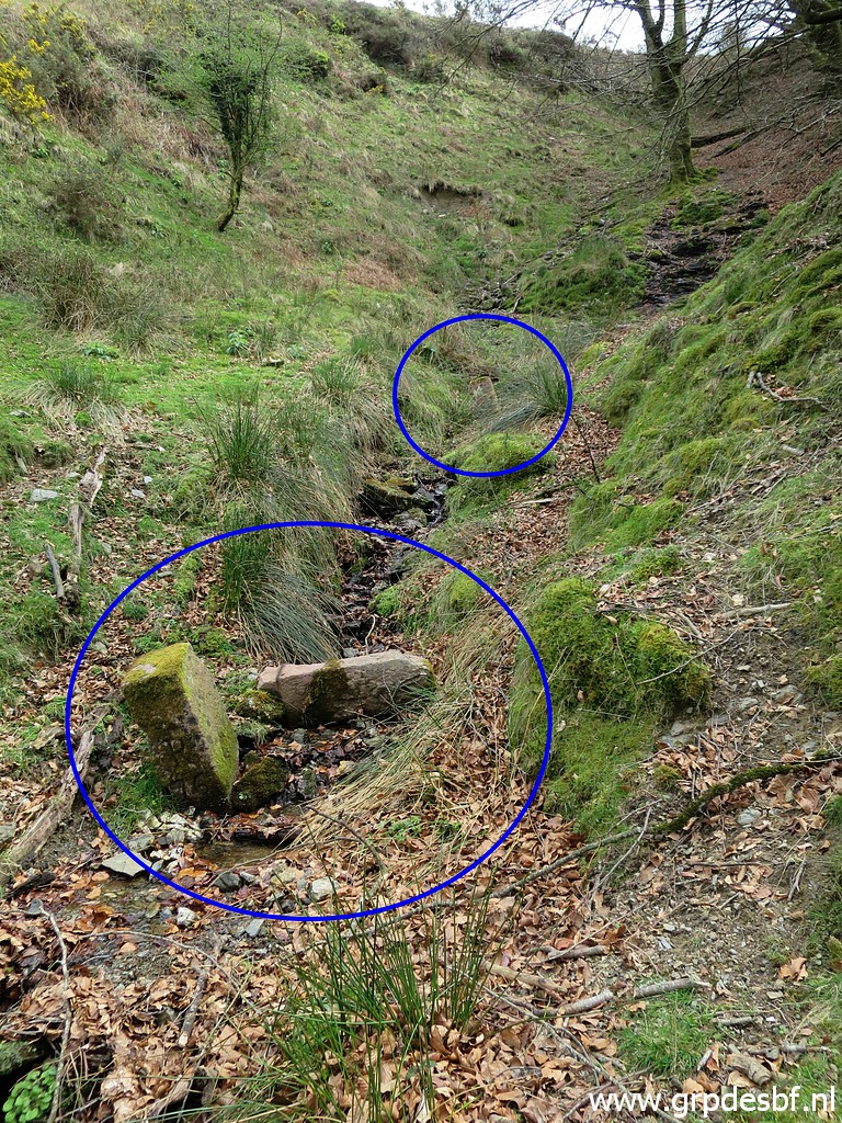
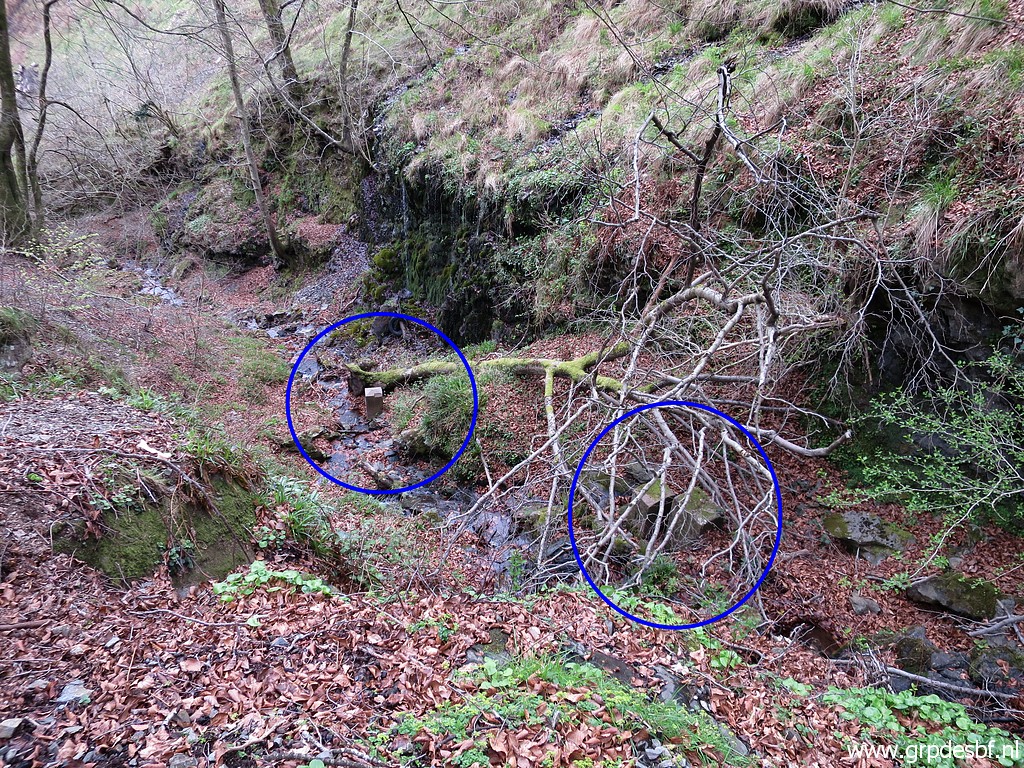
Just beneath the Col de
Gorospil (with bm075 and 76) at the source of a stream, there's a
peculiar "cemetery" of former markers 75 and 76. It appears that both bm075 and 076 were easy subjects for vandalism. In 2013 and 2014 I received pictures of Jacques Koleck, Javier Martínez and Anne Marie Bats / Bernadette Chasseur of this 'cemetery' |
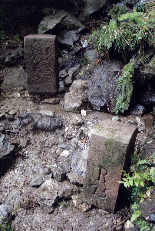
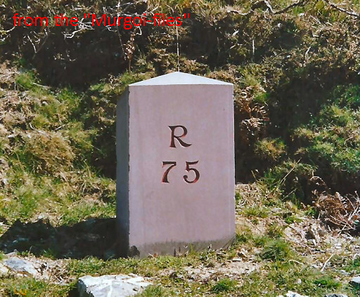
| There's a very interesting article about the bordermarker-history and in particular bm075 and bm076. From my literature-list: BADIOLA, Paul Les bornes d'Itxassou et leurs mésavontures In: Revue de l'Association JAKINTZA, N° spécial Février 2014 (Apparently part of a larger volume ("Itxassou", see http://www.jakintza.fr/) this very interesting article has a focus on the bordermarkers 75 and 76 at Col de Gorospil, which have been replaced several times since the second half of the 20th century. The vandalized bordermarkers, thrown down the hillside W, form now a sort of cemetary of bordermarkers. In its introduction, the article gives an ample description of the border-related treaties since the middle ages.) We can extract from this article the misadventures of bm075 and 076. Their history can be traced by the regular bordermarker-surveys of the communities of Baztan and l'Espelette. From 1948 onwards, problems began with the markers 75 and 76. But let's start in 1787. 1787: the first markers 75 and 76 were placed. These were part of the range of very first numbered bordermarkers (with a capital R above the number), ordered by the Commission Caro d'Ornano. See the history page. No.76 came next to the ancient monolith and no. 75 next to an ancient small rock which served as as a bordermarker before. Between that small rock and the monolith was a corridor for letting French flocks of Espelette on to the pastures of Baztan. That explains why nr. 75 and 76 are so close. 1948: bm075 is found thrown downhill in the beginnning of the stream, being broken in half. There is a story (read in a newspaper by Lucien Thomas) that the French resistance in WWII tried their machine-guns at bm075 and thus damaged it before pushing it downhill. Also bm076 was found overthrown at its spot and later pushed downhill. They are still there, recognizable by the capital R 1953: a letter tells us that the new bm075 and 075 are ready to be installed and possibly they were placed in that same year 1958: they have both disappeared or perhaps they haven't been replaced yet. 1960: they are back again or are finally installed or they have been replaced by a third generation. A picture shows that have a rounded top and carry also the capital R (but more distant from the number than the first ones from 1787) 1997: both markers (among others) are destroyed in a terrorist attack (how brave) of Bask separatists. We have pictures of bm076, shattered to pieces. 1998 (probably): they were replaced again by new ones, a helicopter was needed. These are the ones with their pyramid top and the smooth surface. This is the third or fourth generation. 2000: these new ones were found destroyed and/or thrown down the hill. They were - according to the inspection report of Baztan-l'Espelette - replaced the same year. We're almost loosing track of the successive generations: these replacements must be the fourth or fifth generation. 2000-2003: the new bm075 is also pushed down the hill after 2003: bm075 is replaced by the current marker which makes it the fifth of sixth generation of bm075. As said: I received pictures and information in 2013 and 2014 of Jacques Koleck, Javier Martínez and Anne Marie Bats & Bernadette Chasseur. Let's combine their information. A first conclusion from Jacques: there are in fact two cemeteries: an eastern one (± 50 m from bm075) and ± 60m downstream a western one. |
|
| The eastern cemetery |
|
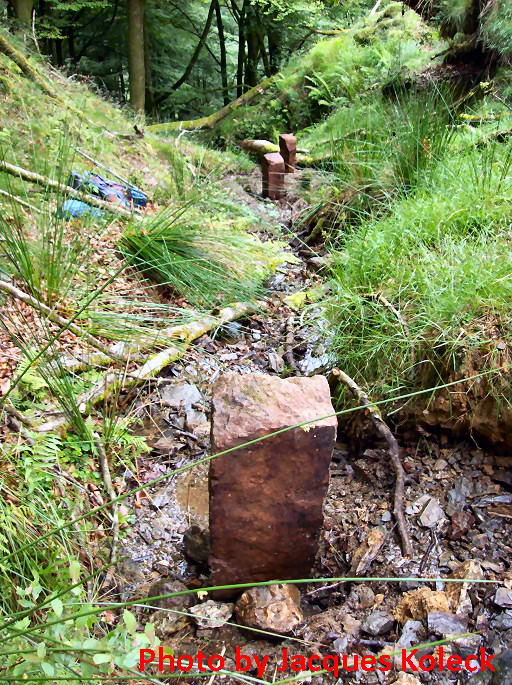 |
On june 30th 2013, Jaques
Koleck discovered ± 50 meters downhill from bm075 the former pillars
076 and (possibly) 075, both buried in the gravel of the stream of
Haizagerrico, next to each other. From above from the current bm075, the spot of this cemetery is easy to see according to Jacques: where a huge uprooted beech tree lies flat. In more detail (the three markers being erected by Jacques for this picture) starting with the highest marker - the first one lying in the streambed in the open air. No engravings, Jacques supposes that this is a submarker. - an old bm076 lying ± 10m lower: the engraving is still fine - the third one closeby: a marker, cut vertically in half, the engraving seems destroyed with a hammer |
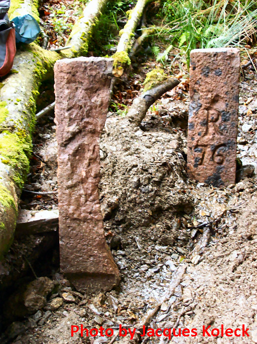 |
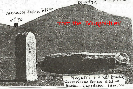
The second and third one in close-up. We can see that the 76-marker is the first generation of bm76 (because of the R, engraved just above the number). Pushed down the hill around 1948. The third marker is cut vertically in half, the engraving seems destroyed with a hammer |
 |
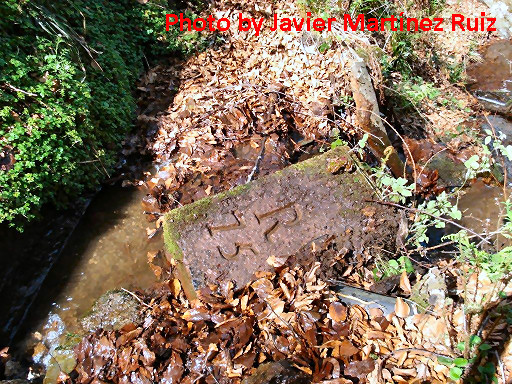
Shortly after Jacques'
discovery, Javier Martínez Ruiz surprised me with the pictures of his
exploration in 2007 of this cemetary of bordermarkers. This nr. 76 must be the same as the one found by Jacques Koleck. |
 |
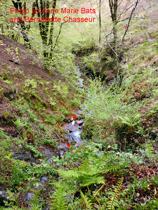
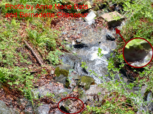
In spring 2014 Anne Marie Bats and Bernadette Chasseur also visited the 'cemetery'. They made this picture of what they called "bornes alignées". I think these are the nr 76 and the vertically split marker which Jacques Koleck shows. |
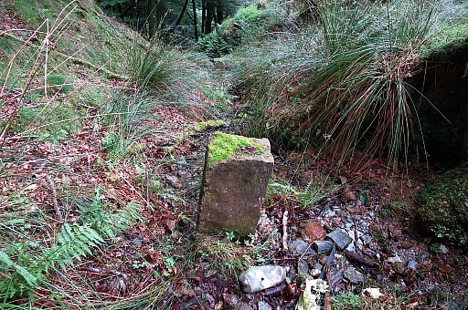 |
Eastern cemetery Photographed on 20170723 (more pictures on that page) |
 |
Eastern cemetery Photographed on 20220408 (more pictures on that page) (click photo to enlarge) |
| The western cemetery |
|
 |
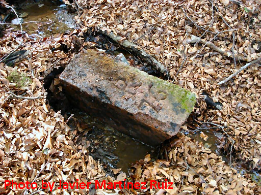
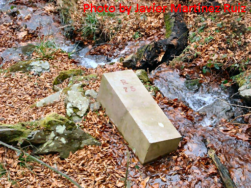
Shortly after Jacques'
discovery, Javier Martínez Ruiz surprised me with the pictures of his
exploration in 2007 of this cemetery of bordermarkers. They show two other bordermarkers and I learned later from Anne Marie Bats and Bernadette Chasseur that they are further downstream than Jacques' markers. This must be the first generation of bm075, pushed down the hill around 1948. |
 |
This is the second nr. 75 in the cemetery. This type of marker was placed 'in situ' around 1998 (together with a new bm076) and both found destroyed in 2000, being replaced the same year by new ones (I suppose indentical ones). Bm076 survives until now but bm075 was thrown downhill in 2000-2003 and replaced by the current one afterwards. This one still looks brand new and is shown in its original position on a picture of Jésus Murueta Goikoetxea. See hereunder |
 |
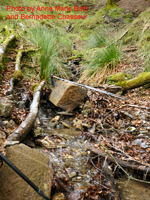
In spring 2014 Anne Marie Bats and Bernadette Chasseur also visited the 'cemetery' In particular they refound the two bordermarkes 75 which Javier Martínez shows on his pictures above. This picture: an overview. This spot is considerably lower than where Jacques Koleck did his first archeological work: ± 60m
|
 |
A zoom-in from previous picture. We can see the nr. 75 in de lower part of the picture and in the upper right corner nr 75 (it's number is on its shadowed side and not visible here but readable on the original picture). |
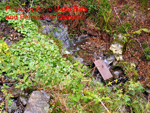 |
Nr 75 seen from a different spot. The terrain was too wet and slippery for Anne Marie and Bernadette to get closer. |
 |
In august 2014,
Jacques Koleck returned to investigate the spot where Anne Marie and
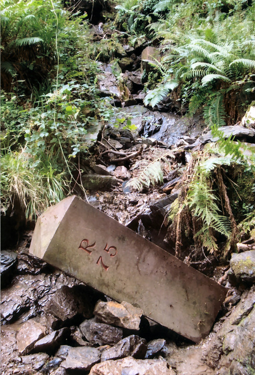
Bernadette (and in 2007 Javier) had found the two bordermarkers 75. And he found a third marker (this picture) with no engravings, 4m upstream of the old bm075. Jacques' description of the un-engraved marker: "une borne en grès rouge, sans inscriptions, en parfait état, dimensions : 34 x 45,5 x 89 cm (masse estimée : 380 kg !), base évasée, travaillée au ciseau, sommet plat" Jacques' description of the R75: "4 mètres plus bas , une ancienne borne en grès rouge portant l'inscription R 75, dimensions : 30 x 38,5 x 64 cm, base plane et sommet arrondi" |
 |
Jacques also descended the 6m to the brandnew-looking bm075. Jacques' description: "6 mètres plus bas: une borne en grès rouge, lisse, paraissant presque neuve et portant l'inscription R 75, dimensions : 30 x 35 x 91 cm, base plane et sommet pseudo-pyramidal avec une arête sommitale de 10 cm" |
 |
Western cemetery Photographed on 20170723 (more pictures on that page) |
 |
Western cemetery Photographed on 20220408 (more pictures on that page) (click photo to enlarge) |
| Let's summarize all information and finish with a hypothesis of Jacques - there are two cemetaries: a eastern one (± 50 m from bm075) and ± 60m downstream a western one. - the eastern one (upper one) contains an old (original) bm076 and an un-engraved marker and one marker cut in half. Between this cemetary and bm075 is the source/beginning of the stream. - the western one (lower one) contains an old (original) bm075 and a brandnew-looking bm075 ánd an un-engraved marker. It's close to a source and little cascade on the right bank of the stream. - between those cemetaries, a small trail passes the border and - according to Jacques - that's the spot where the Treaty allows cattle to be led onto Spanish territory for up to 5km. - hypothesis of Jacques: the two or three un-engraveded markers were placed to mark the stream which is the borderline. Why? Because there is another stream springing nearby which merges with the borderstream where the trail crosses the border. |
|
 |
Picture of a previous version of bm075, still 'in situ'. It was installed around 2000 but pushed down the hill in 2000-2003. Photographed in the years 2000-2003. Source: "The Murgoi-files" of Jesús Murueta Goikoetxea |
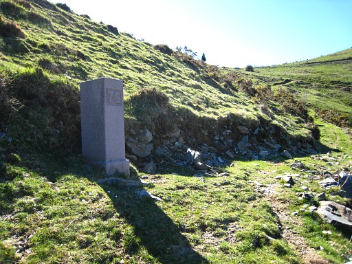 |
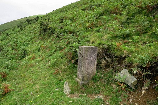
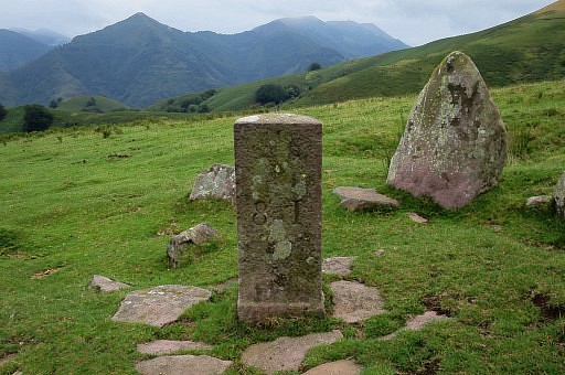
Bm075, nowadays. Photographed on 20090409 (more pictures on that page) |
 |
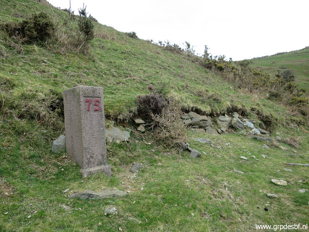
Bm075 Photographed on 20170723 (more pictures on that page) |
 |
Bm075 Photographed on 20220408 (more pictures on that page) (click photo to enlarge) |
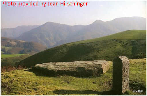 |
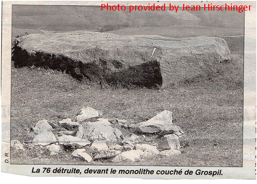
Old picture of bm076, provided by Jean Hirschinger. It seems that one "Dr J Biot" was the photographer. This one was installed around 1960. Note the rounded top and the distance between the R and the number 76. |
 |
Another old picture of an old version of bm076. Photographed in the years 2000-2003. Source: "The Murgoi-files" of Jesús Murueta Goikoetxea |
 |
And here we see the same bordermarker but now destroyed by Bask separatists in 1998. |
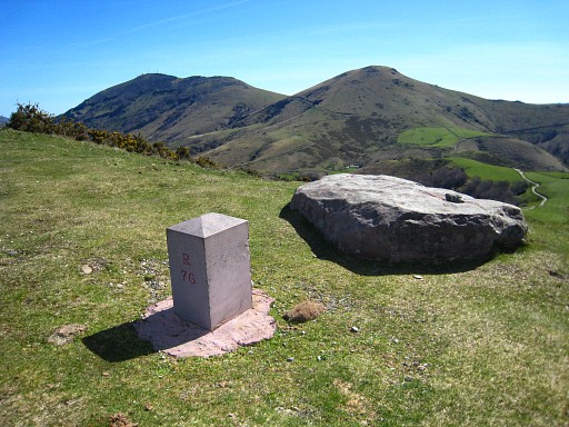 |
Bm076, nowadays. It's still the one, installed in 2000. Photographed on 20090409 (more pictures on that page, also of that ancient border-rock behind it) |
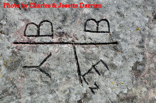 | Charles
Darrieu provided this close-up of the engravings on that rock and
a citation of Jean Sermet from his "La Frontière des Pyrénées" . It
tells that it's date of origin is unknown but in any case pre-1858. BB comes from Valle de Bastán (Spain), Y and Ez from the French communities of Itxassou and Espelette. |
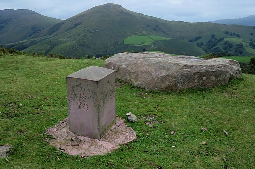 |
Bm076 Photographed on 20170723 (more pictures on that page) |
 |
Bm076, disappeared as reported by Michel on 9 july 2021. Photographed on 20220408 (more pictures on that page) (click photo to enlarge) |
 |
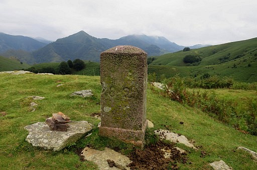
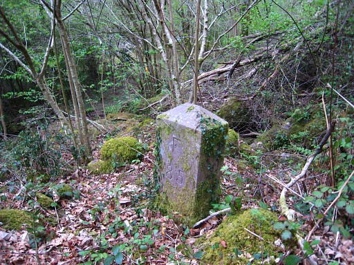
Bm077 Photographed on 20090409 |
 |
Bm077 Photographed on 20170723 (more pictures on that page) |
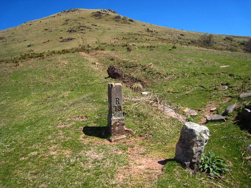 |
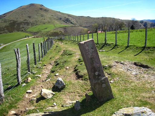
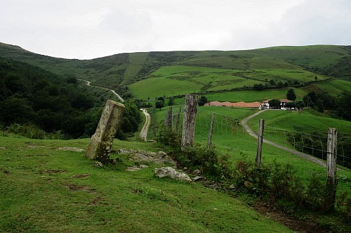
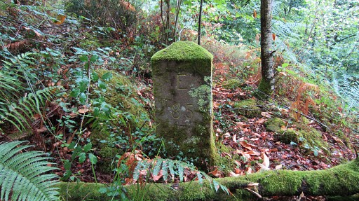
Bm078 Photographed on 20090409 (more pictures on that page) |
 |
Bm078 Photographed on 20170723 (more pictures on that page) |
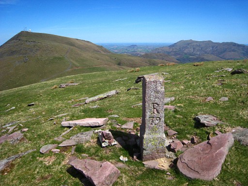 |
Bm079 Photographed on 20090409 |
 |
Bm079 Photographed on 20170723 (more pictures on that page) |
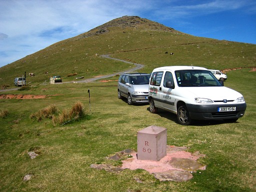 |
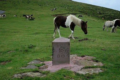
Bm080 Photographed on 20090409 (more pictures on that page) |
 |
Picture of the original bm080. Photographed in the years 2000-2003. Source: "The Murgoi-files" of Jesús Murueta Goikoetxea In march 2014 I have been informed by Robert Darrieumerlou that this picture originates from his website (this page). The photographer was one "Xan". See also this introduction page |
 |
Bm080 Photographed on 20170723 (more pictures on that page) |
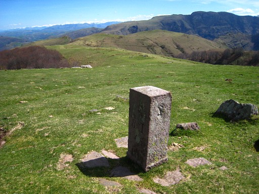 |
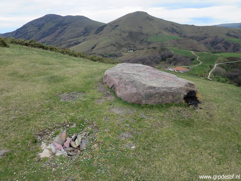
Bm081 Photographed on 20090409 (more pictures on that page) Bm081 is surrounded by a circle of stones vertically implanted, a so-called Cromlech, a megalitic monument. |
 |
Bm081 Photographed on 20170723 (more pictures on that page) |
 |
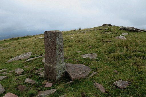
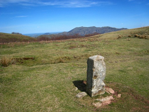
Bm082 Photographed on 20090409 |
 |
Bm082 Photographed on 20170723 (more pictures on that page) |
 |
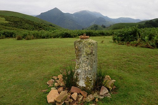
Bm083 Photographed on 20090409 |
 |
Bm083 Photographed on 20170723 (more pictures on that page) |
 |
Bm084 Photographed on 20090409 |
 |
Bm084 Photographed on 20170725 (more pictures on that page) |
 |
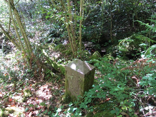
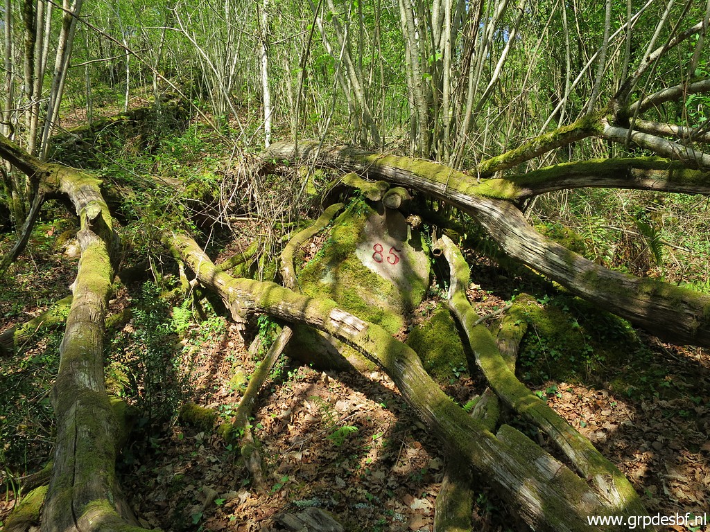
Bm085 Photographed on 20090410 (more pictures on that page) |
|
Bm085 Photographed on 20120825 (more pictures on that page) |
 h h
|
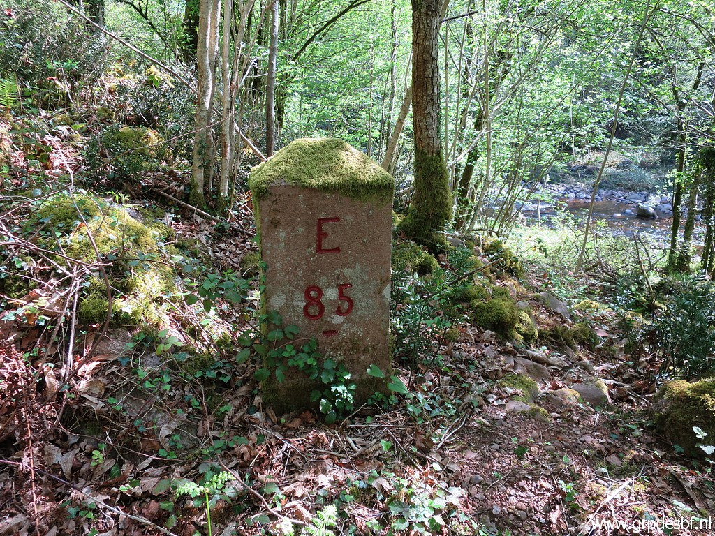
Bm085 Photographed on 20130903 (more pictures on that page) |
 |
Bm085 Photographed on 20220417 (more pictures on that page) (click photo to enlarge) |
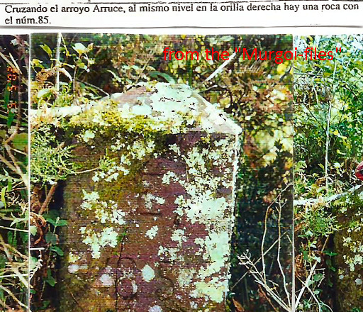 |
Interesting on this
picture from "The Murgoi-files": the referral in the text to the second
number 85 on the other side of the stream. Photographed in the years 2000-2003. Source: "The Murgoi-files" of Jesús Murueta Goikoetxea This referral to a second number 85 comes from the elaborate inventory of Javier Martínex Ruiz, see the literature-page And I was informed by Charles Darrieu of the existence of this extra number. |
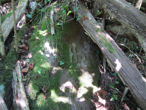 |
Bm085-number The referral to a second number 85 comes from the elaborate inventory of Javier Martínex Ruiz, see the literature-page And I was informed by Charles Darrieu of the existence of this extra number. Photographed on 20130903 (more pictures on that page) |
 |
Bm085-number Photographed on 20220417 (more pictures on that page) (click photo to enlarge) |